






Cycling route : les berges du Rhône
Úroveň náročnosti: 1
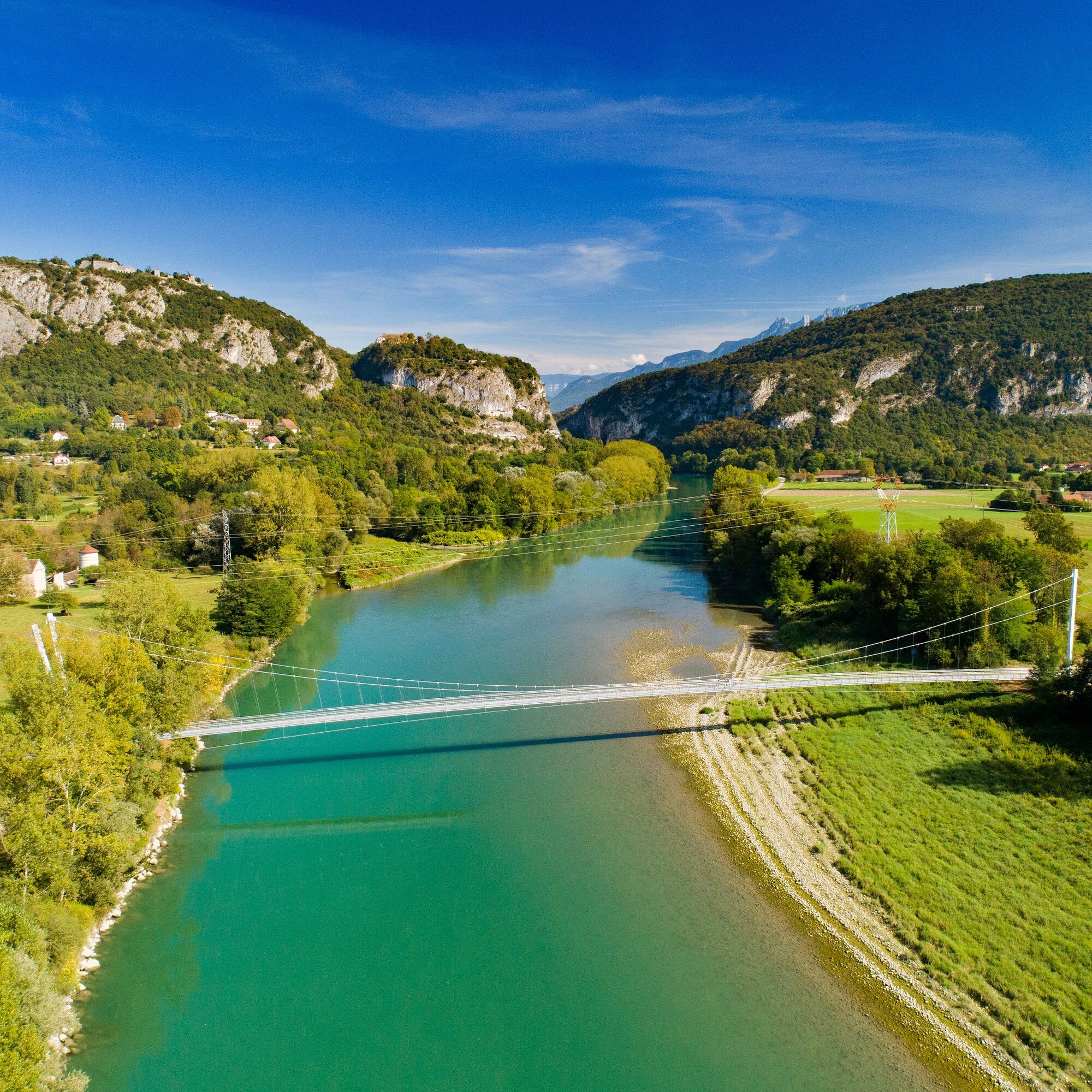
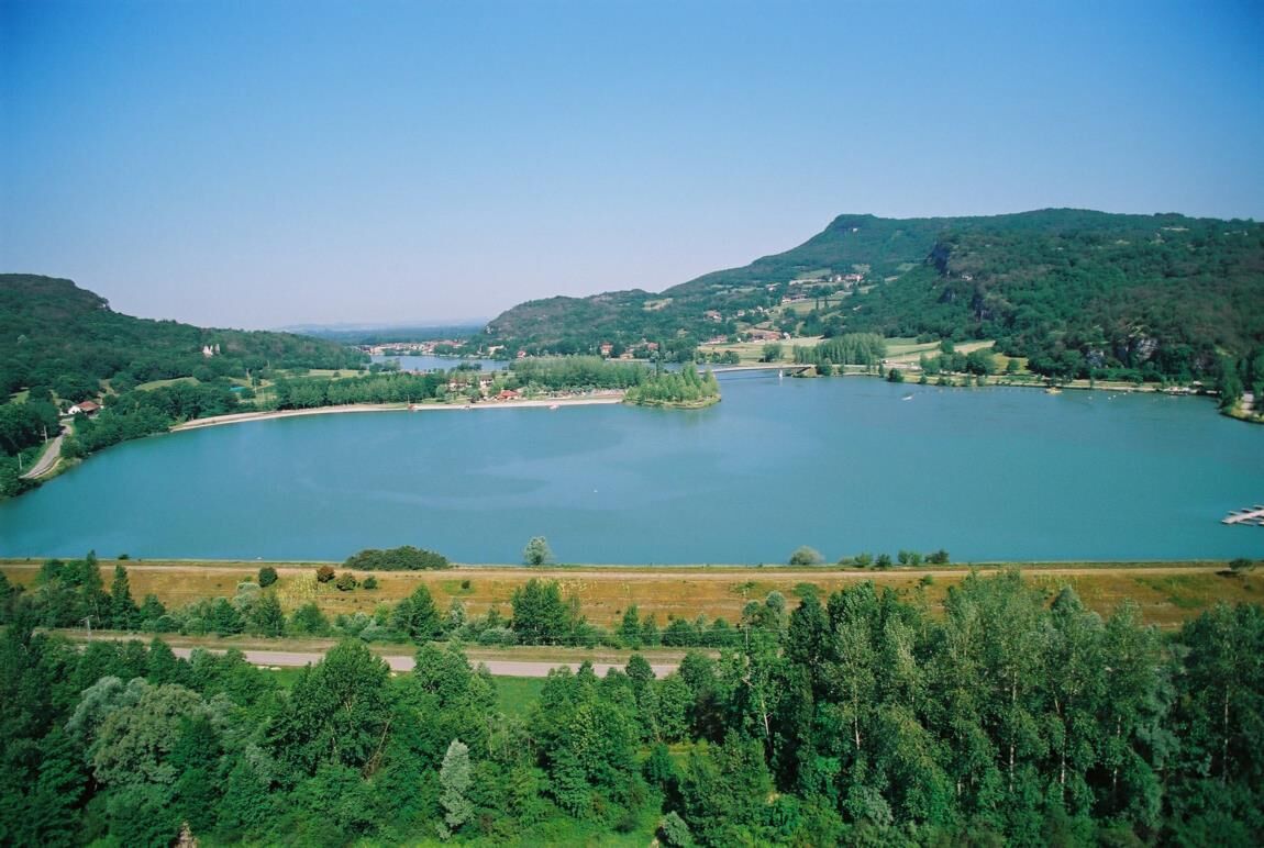
To discover along the road: Belley, the capital of Bugey, the small town of Peyrieu and its alascian houses, Murs and its sailing port, Pierre-Chatel gorge and Virignin's locks.


Áno
It is recommended to have a suitable bike in good condition, enough water, a helmet, as well as repair equipment.
Rental available in Belley.
– I respect nature and its environment
– I am properly insured, I adapt my behavior to traffic conditions
– I maintain a safety distance from the cyclist ahead of me, I see and am seen
– I ride without jeopardizing my own safety or that of other road users
– I know the emergency call procedure in case of bodily injury accident
– I choose a route suitable for my physical abilities
– I apply the Highway Code to ride safely by bicycle
– I use a bicycle that is properly equipped and in perfect mechanical condition
Highways from Lyon:
A42, exit 8: Ambérieu-en-Bugey
A43, exit 10 Les Abrets
Departmental roads
D 1504 from Ambérieu-en-Bugey
D 992 from Chambéry
Find detailed access options for the start by clicking on this link.
Several parking lots are accessible throughout the year, including the high school parking located 2 minutes from the start at the end of Rue du 5ème Rtm.
1
An error on this sheet? Write to the owner mentioning these references:
Sheet name: Cycling route: The Rhône banks | Sheet ID: 424957 | URL (link) of this Outdooractive page.
Very fast route starting from Belley along the Rhône via the ViaRhôna to the southern end of the Ain department. The return to Belley is mainly along small roads.
Obľúbené výlety v okolí
-
5,0
Hike : Tour du Mont de Cordon
svetloTuristika 7,16 km -
Trail along the water (Sentier de l'eau)
strednáTuristika 7,28 km -
4,0
Hike: Montagne de Saint-Benoit
ťažkéTuristika 12,5 km -
Hike : Armaille Lake
svetloTuristika 9,42 km -
Hike starting from Parves-et-Nattages: le circuit du Sorbier
svetloTuristika 11,4 km -
Hike : Lake and vineyards
svetloTuristika 9,76 km -
5-MTB trail - Lac d'Armaille - Espace FFC Ain Forestière
ťažkéMountainbike 26,7 km -
Randonnée pédestre "ballade nature"
svetloTuristika 10,1 km -
MTB track 1 green - Rothonne forest: Le Renard - Espace FFC Ain Forestière
svetloMountainbike 4,93 km -
E-mountainbike loop 8 - Marais d'Aignoz - Espace FFC Ain Forestière
ťažkéMountainbike 44,6 km
Turistika a stopovanie


Nenechajte si ujsť ponuky a inšpiráciu na ďalšiu dovolenku
Vaša e-mailová adresa bol pridaný do poštového zoznamu.





