

© © Maxime Ballet

© © Maxime Ballet

© © Maxime Ballet

© © Maxime Ballet

© © Maxime Ballet

© © Maxime Ballet

© M.Ballet

© M.Ballet

© M.Ballet

© © Maxime Ballet

- Stručný popis
-
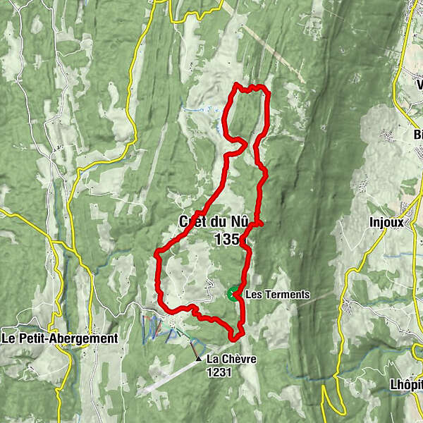
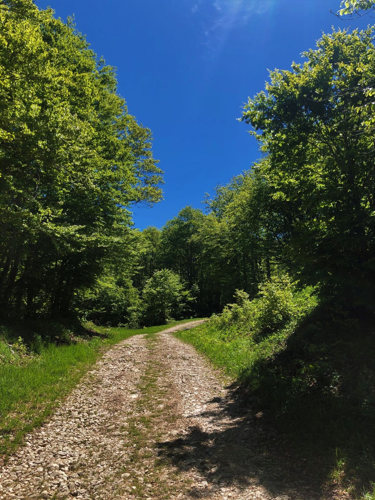
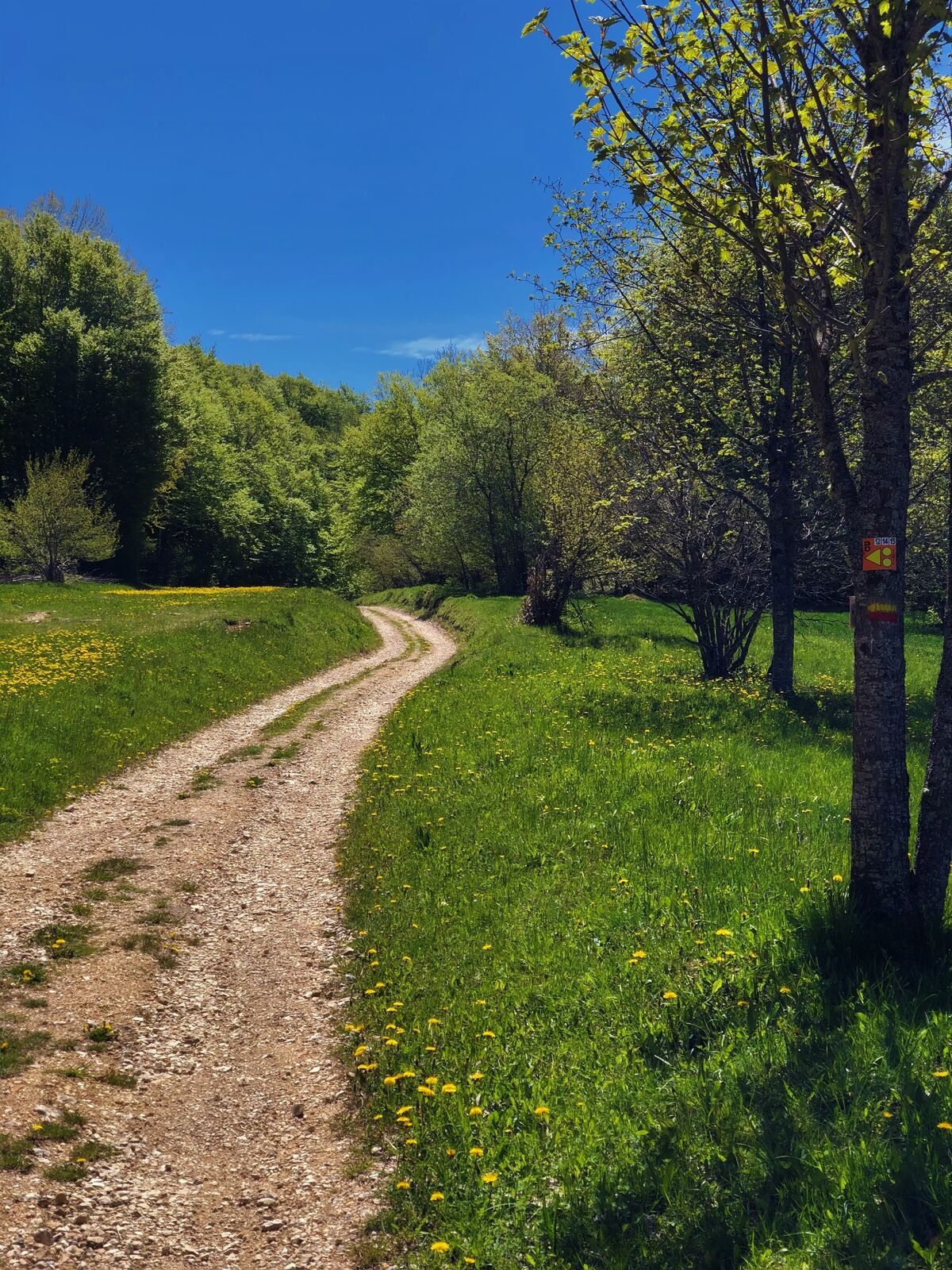
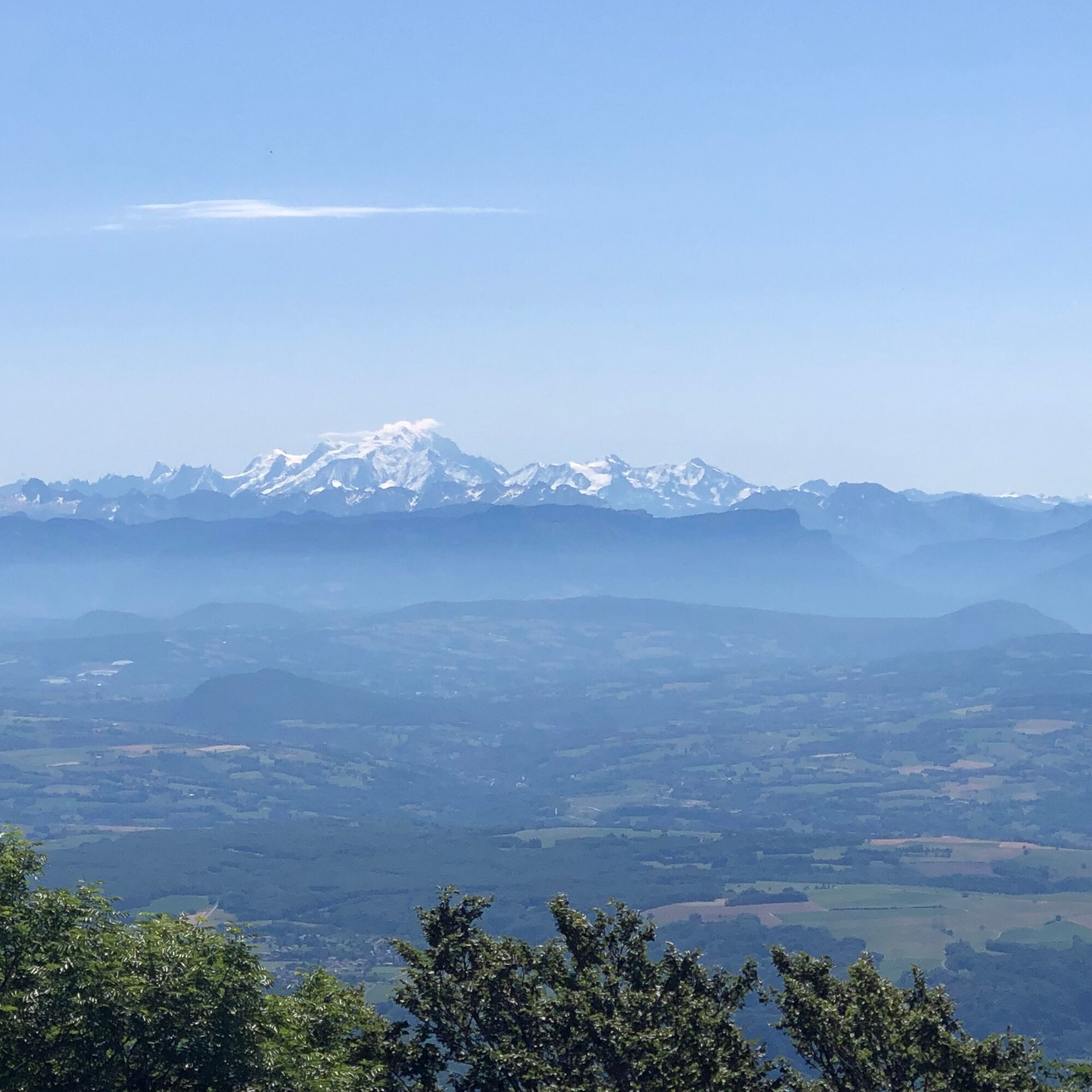
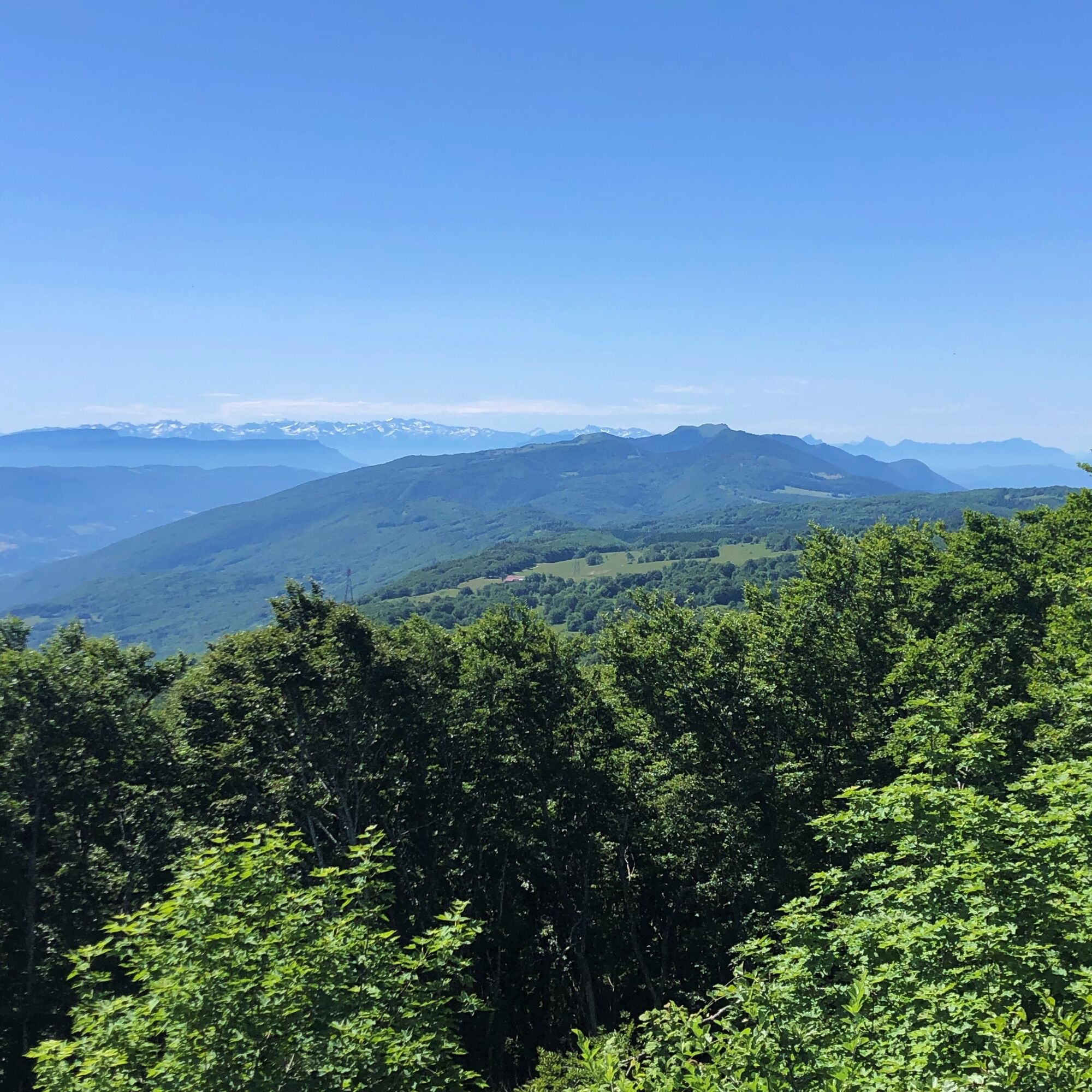
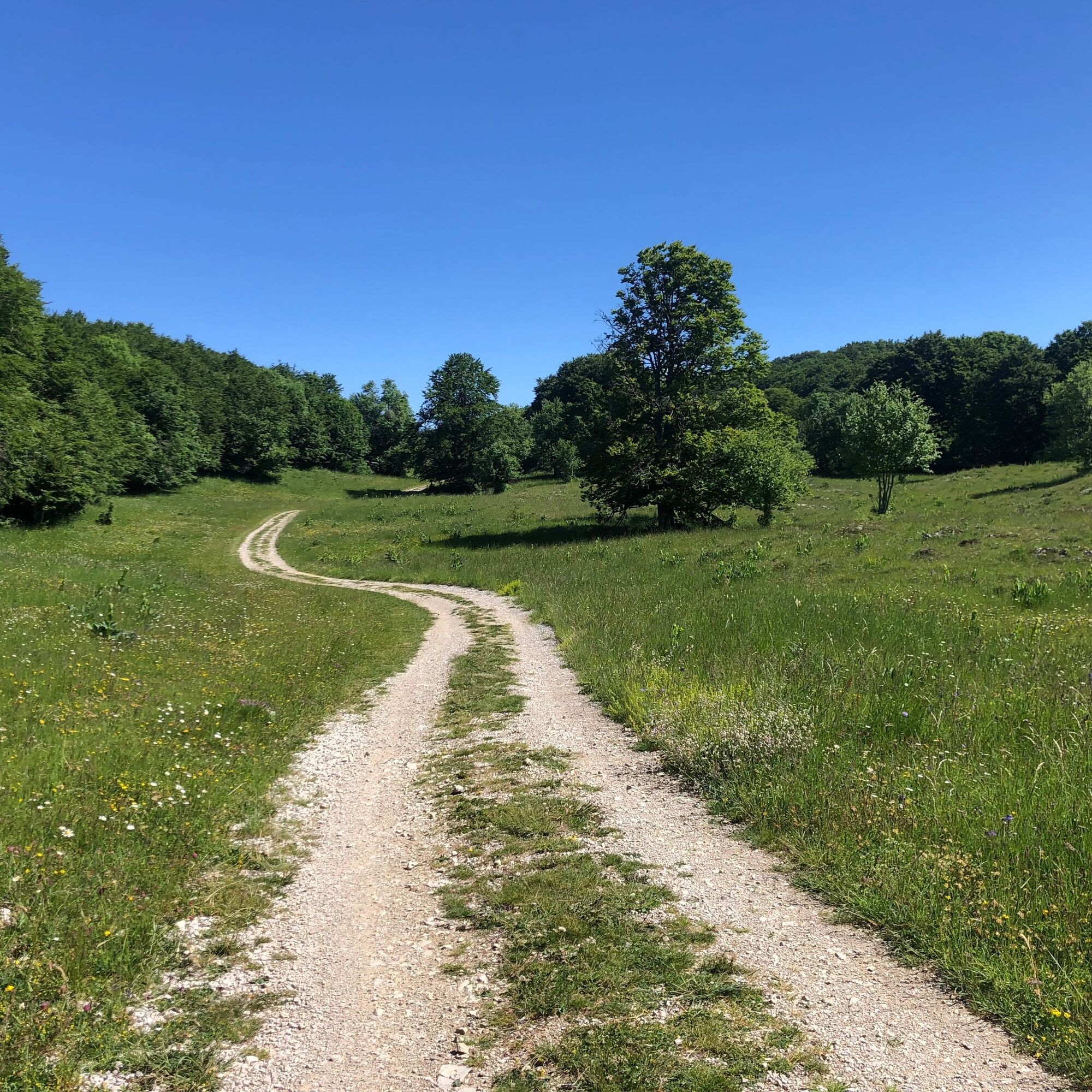
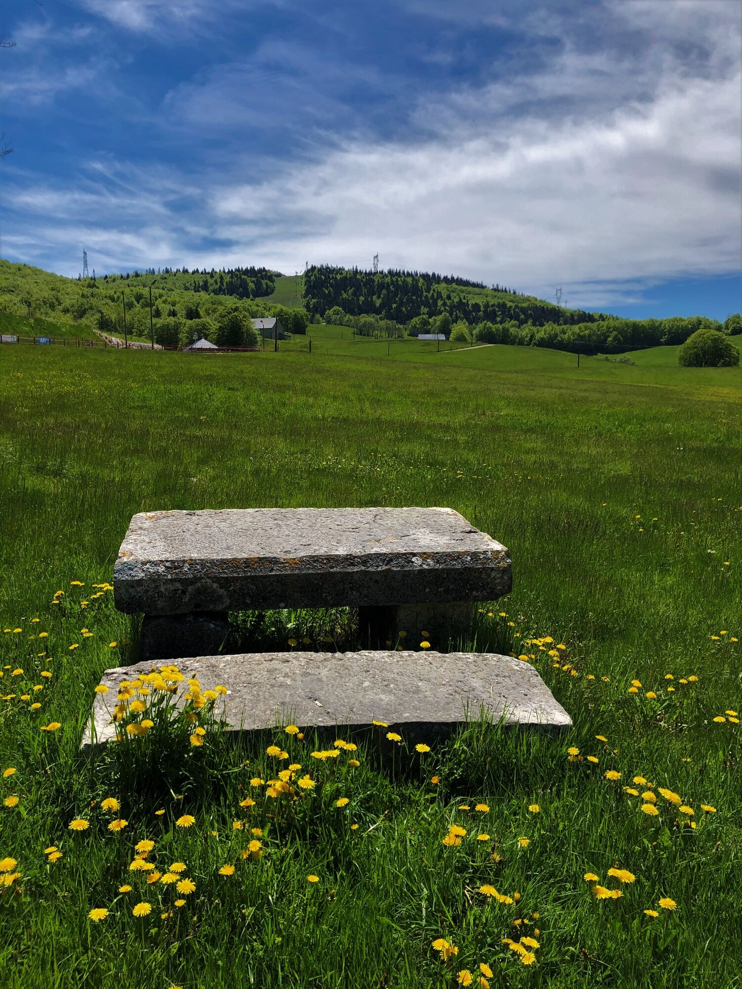
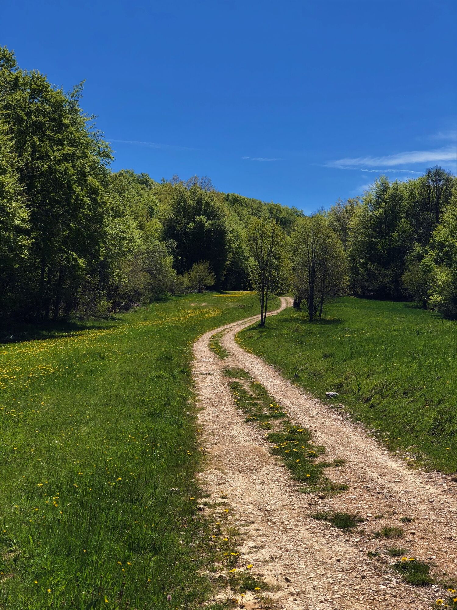
From the ski resort of Les Plans d'Hotonnes, the Plateau de Retord offers all its mountain characteristics: combes and forests, isolated typical farms, vast spaces and ridges such as Crêt du Nu and Tumet with views on the Alps and the Mont Blanc.
- Obtiažnosť
-
ťažká
- Hodnotenie
-
- Trasa
-
Le Bon Plan0,1 kmLes Terments (1.197 m)3,5 kmCrêt du Nû (1.351 m)6,2 kmLa Ferme de Retord10,9 kmLa Bauche13,9 kmPré Brachet15,4 kmLes Plans d'Hotonnes18,5 km
- Najlepšia sezóna (ročné obdobie)
-
janfebmaraprmájjúnjúlaugsepoktnovdec
- Najvyšší bod
- 1.343 m
- Cieľová destinácia
-
La Maison des Plans : bureau d'information touristique des Plans d'Hotonnes
- Profil nadmorskej výšky
-
 © outdooractive.com


- Autor
-
Prehliadka Running trail: Retord tour používa outdooractive.com na stránke ..
GPS Downloads


Všeobecné informácie
Zastávka s občerstvením
Kultúra/Historické stránky
Zasvätený tip
Flora
Fauna
S výhľadmi
Ďalšie prehliadky v regiónoch
-
Ain
33
-
Haut Bugey
25
-
Haut Valromey
12