


Enz Valley cycle path: stage 2
Úroveň náročnosti: 1
Along the longest left tributary of the Neckar – the Enz – this tranquil cycling tour offers diverse landscapes. From the deep Black Forest via the golden city of Pforzheim, through sleepy half-timbered...
Along the longest left tributary of the Neckar – the Enz – this tranquil cycling tour offers diverse landscapes. From the deep Black Forest via the golden city of Pforzheim, through sleepy half-timbered villages and vineyards on the steep slopes of the lower Enz.
For all those who want to experience the regions of Northern Black Forest and Kraichgau-Stromberg a bit longer, it is worth splitting the Enz valley cycle path into two stages. This leaves enough time to extensively enjoy the highlights alongside the route.
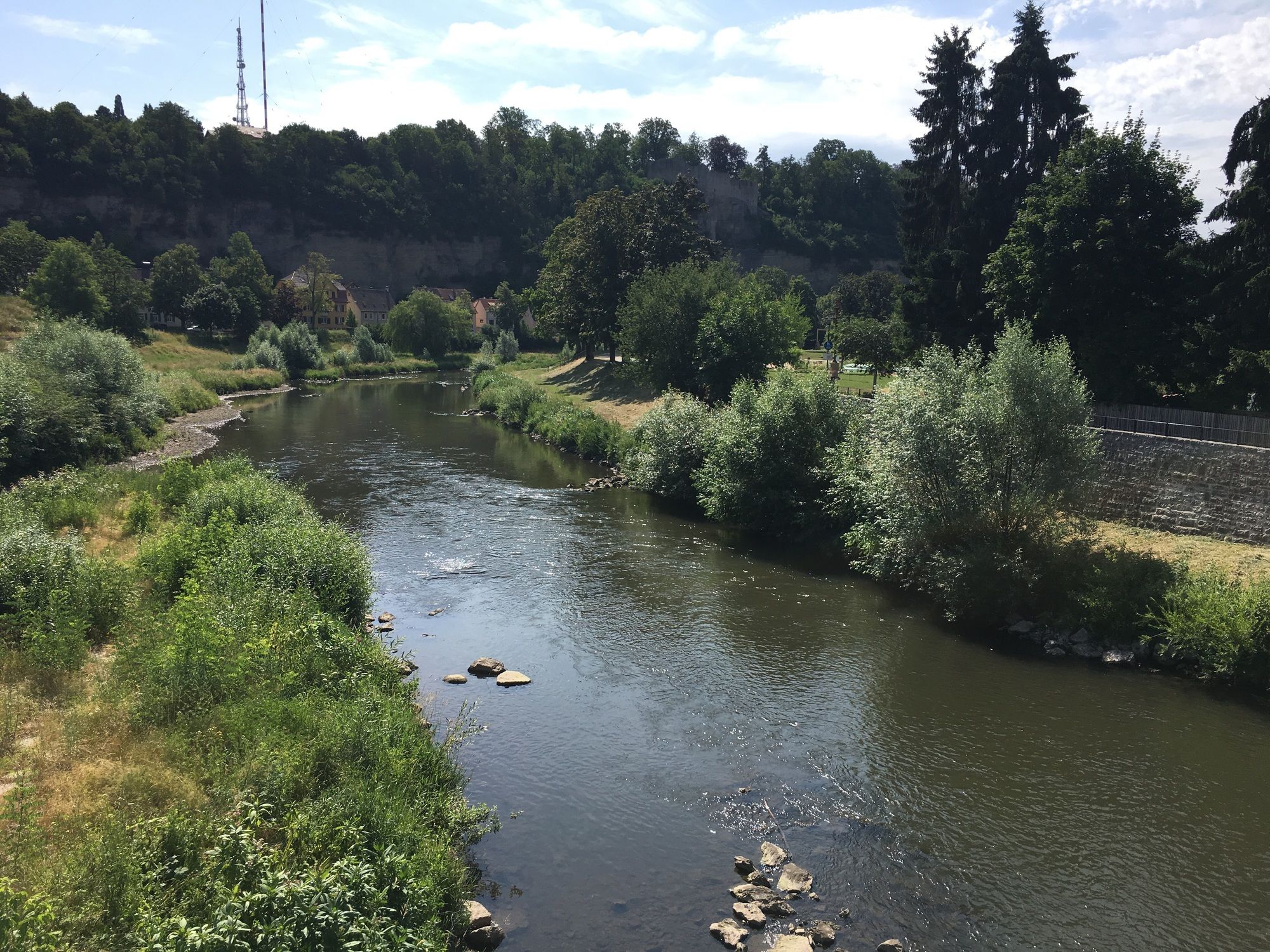
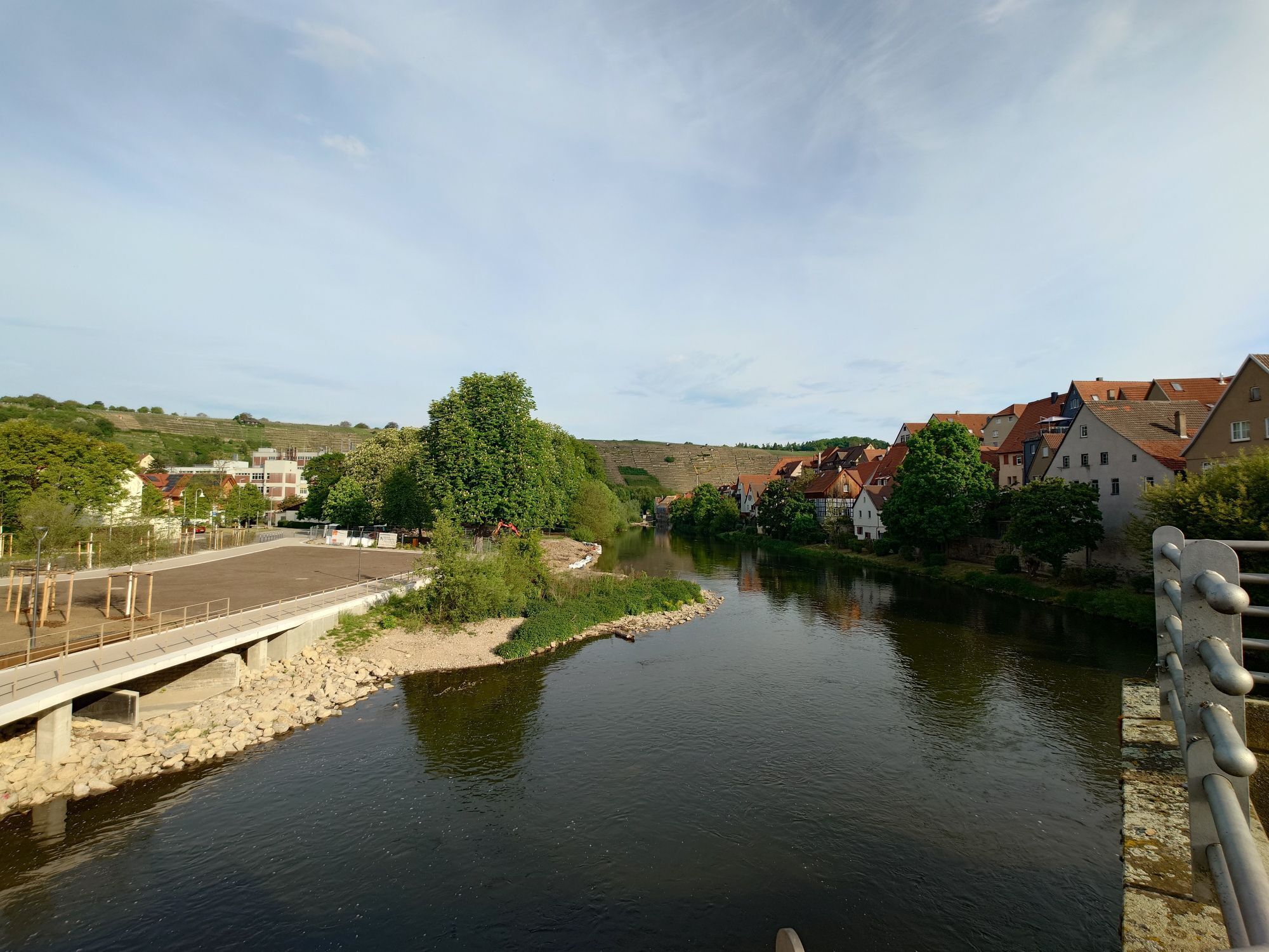
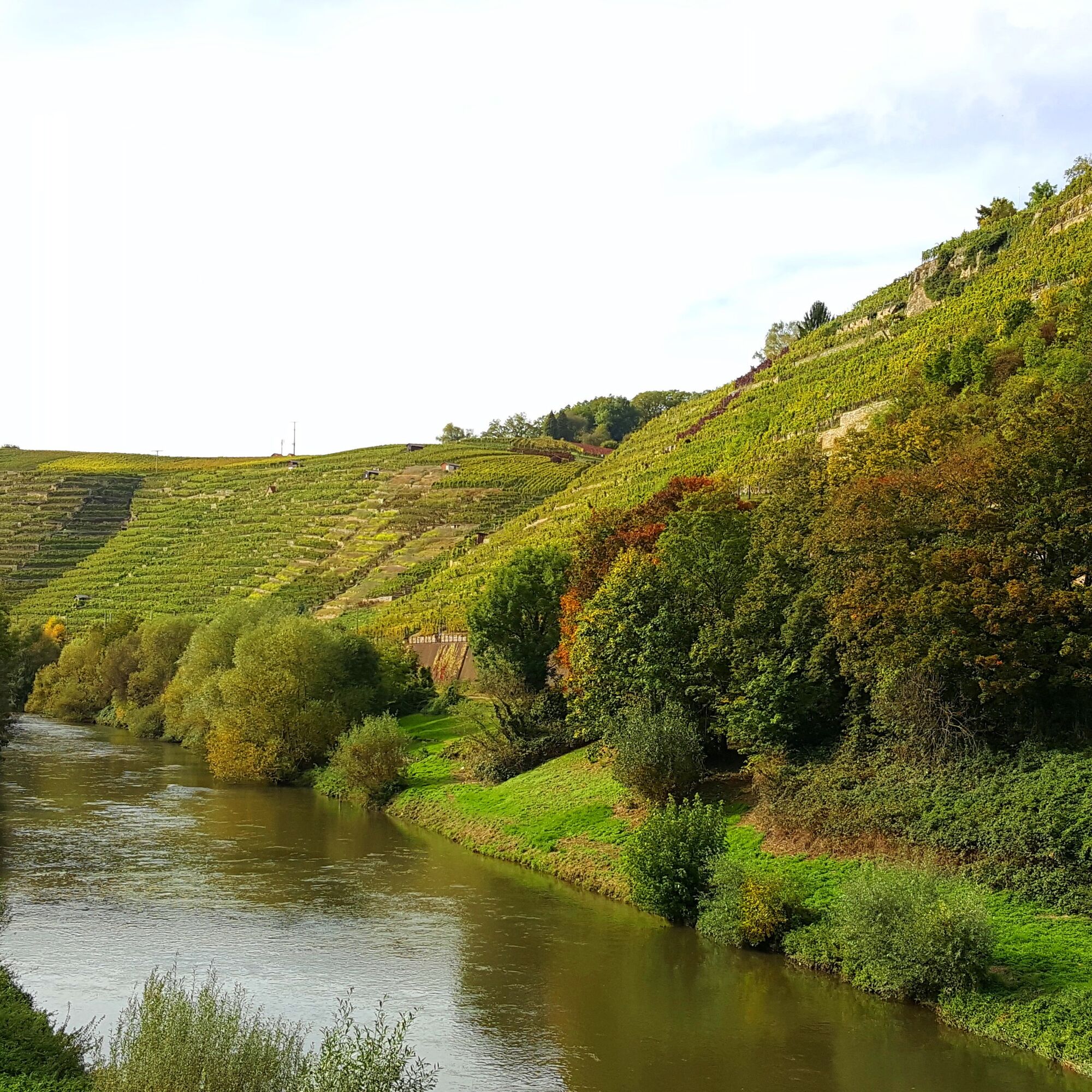
The second stage starts right in the golden city of Pforzheim – located exactly between hills/vineyard landscape and deep forest, Pforzheim is also called the gateway to the Black Forest. From here, this stage cycles through the towns Niefern, Mühlacker, Vaihingen, Bietigheim-Bissingen, and Besigheim until reaching Walheim, where the Enz flows into the Neckar and thus also the end of the Enz valley cycle path is reached.


The continuously signposted cycle path over 100 km long leads from the Enz spring in the Black Forest near Enzklösterle to the Enz confluence in the lovely Neckar valley in the wine town of Walheim. The route is mostly manageable for everyone without steep climbs. A well-maintained touring or mountain bike is recommended; some sections of the cycle path are gravelled.
Our route description follows the course of the Enz river: downstream from the starting point Enzklösterle to the end point in Walheim. Of course, the tour can also be done in the opposite direction and from all places along the way.
Pforzheim - Niefern >> 7 km >> Through an artificially created swamp area, where freely living nutrias (rodents) can be admired, you cycle towards Niefern.
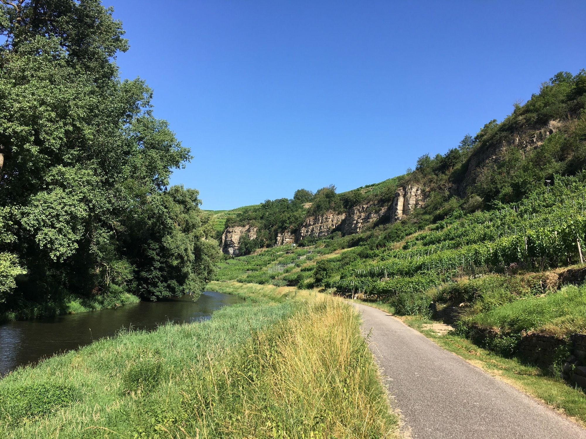
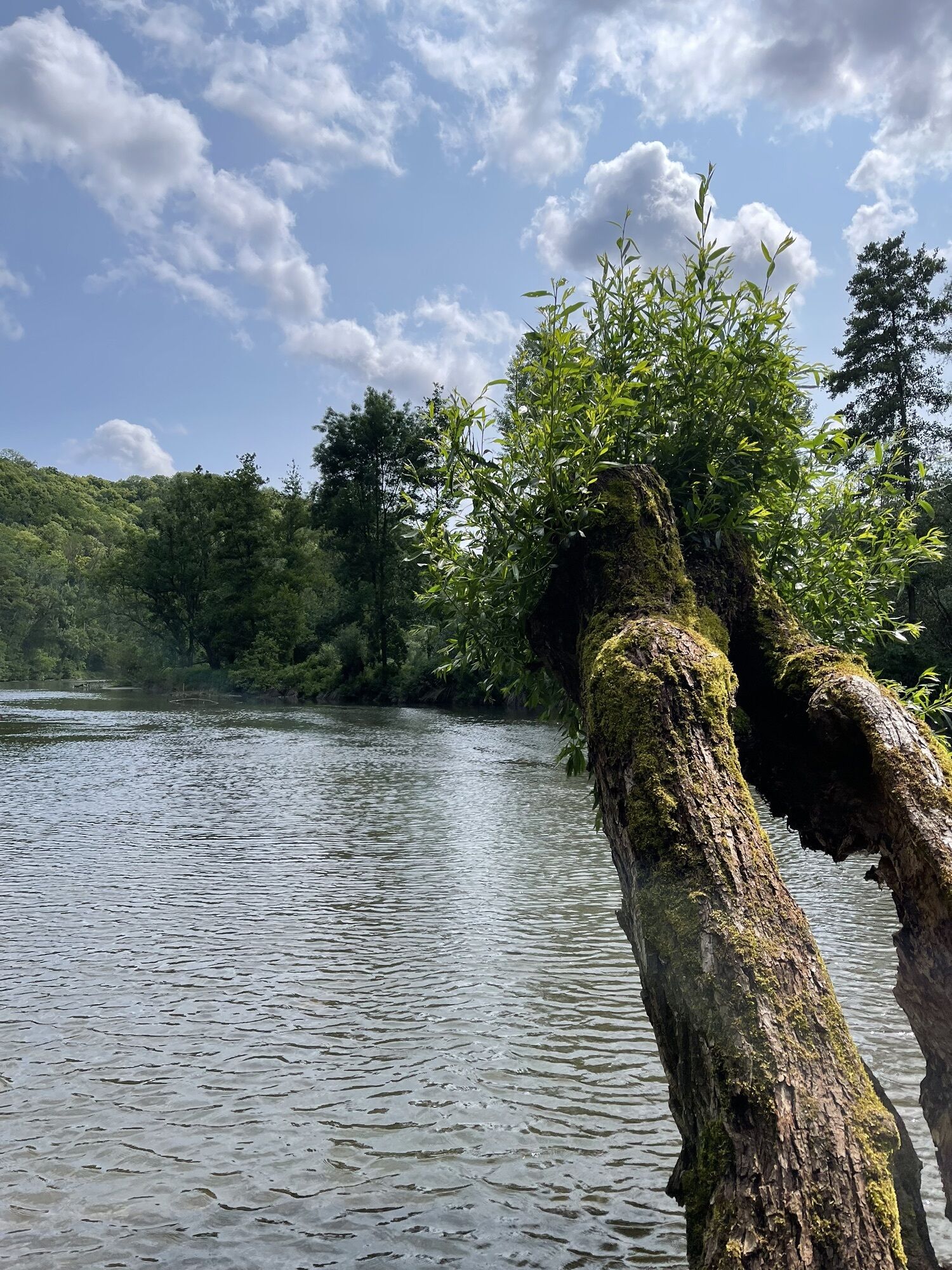
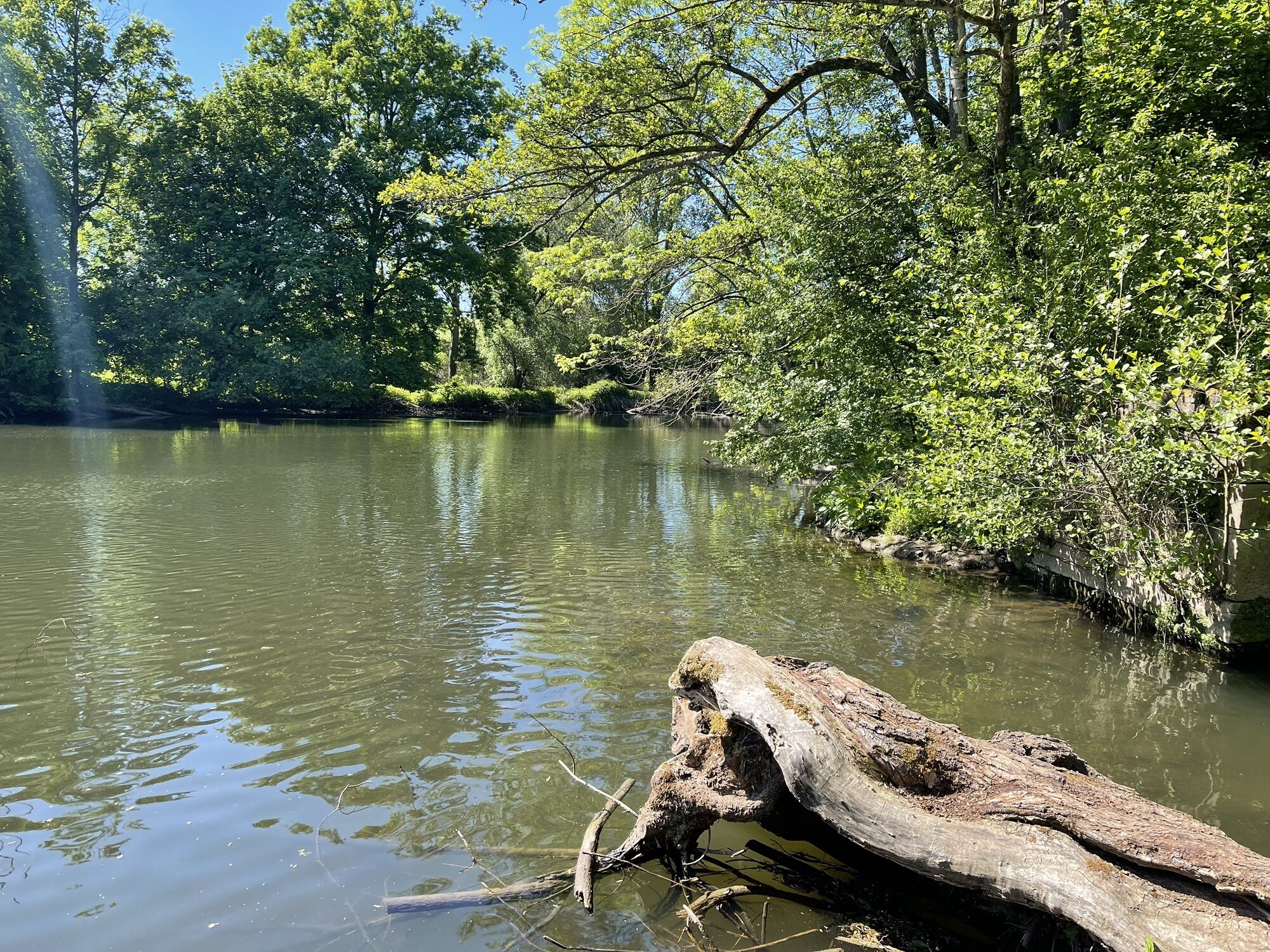
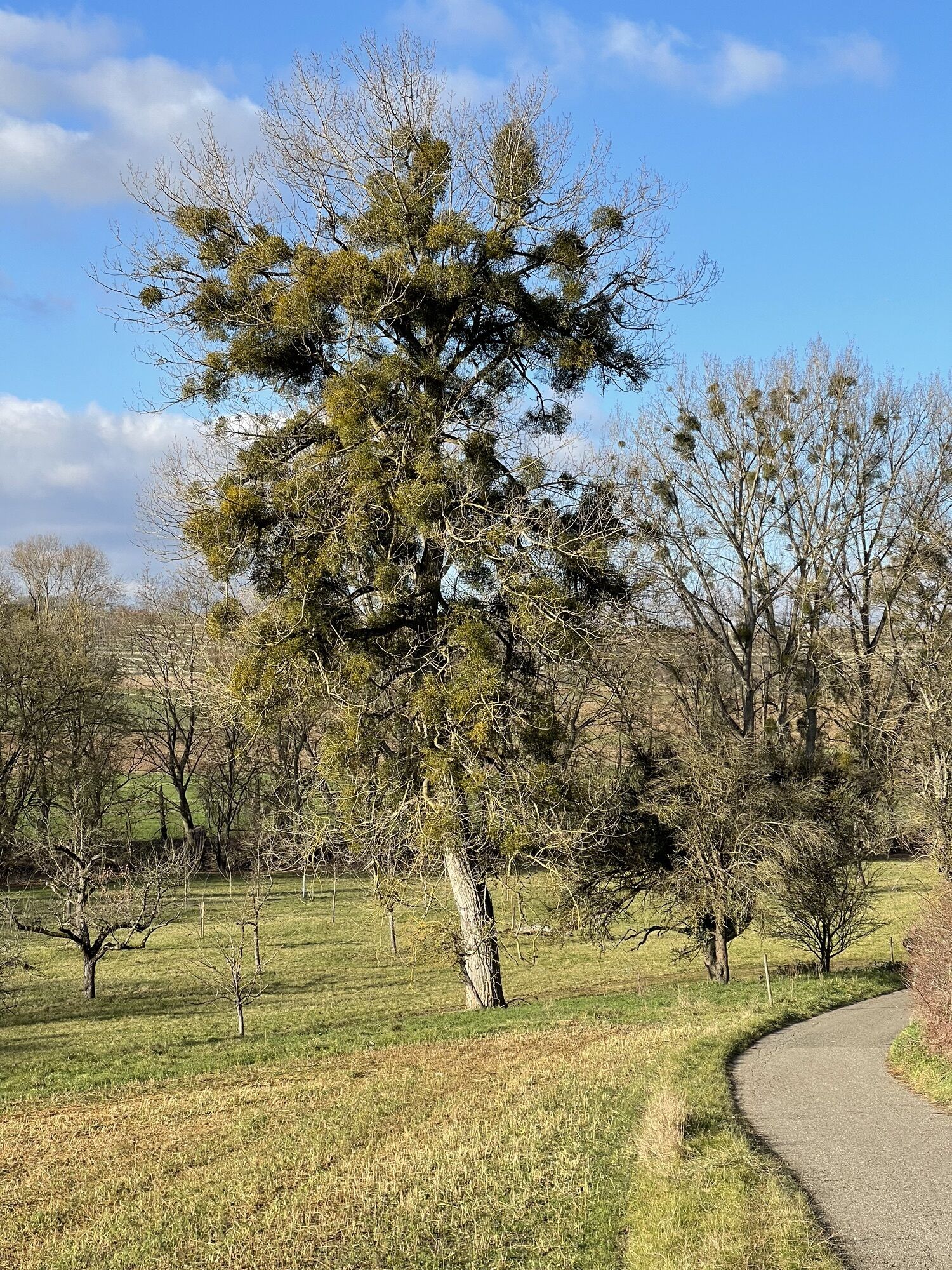
Niefern - Mühlacker >> 6 km >> Through a nature reserve with beautiful old willow trees, the route goes downstream towards the beautiful town of Mühlacker. Here you can spot the first vineyards.
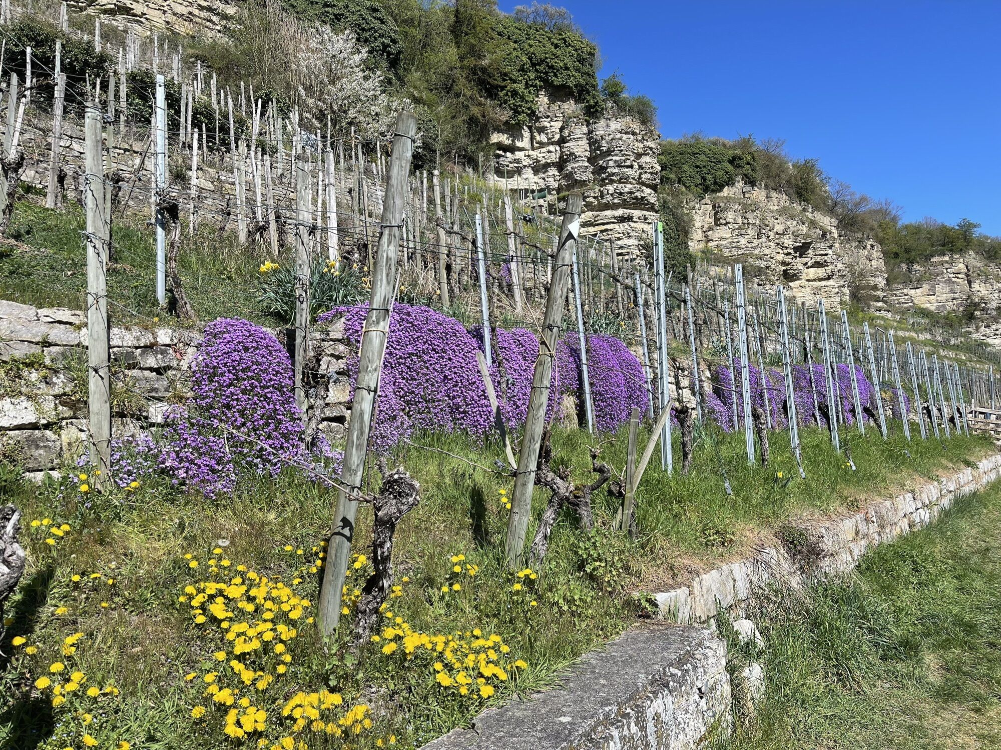
Mühlacker - Vaihingen a.d. Enz >> 17.5 km >> On the way to Vaihingen, a nature lover is offered a beautiful view of the natural Enz valley. Already from afar, the Roßwager vineyards greet from an exposed steep slope.
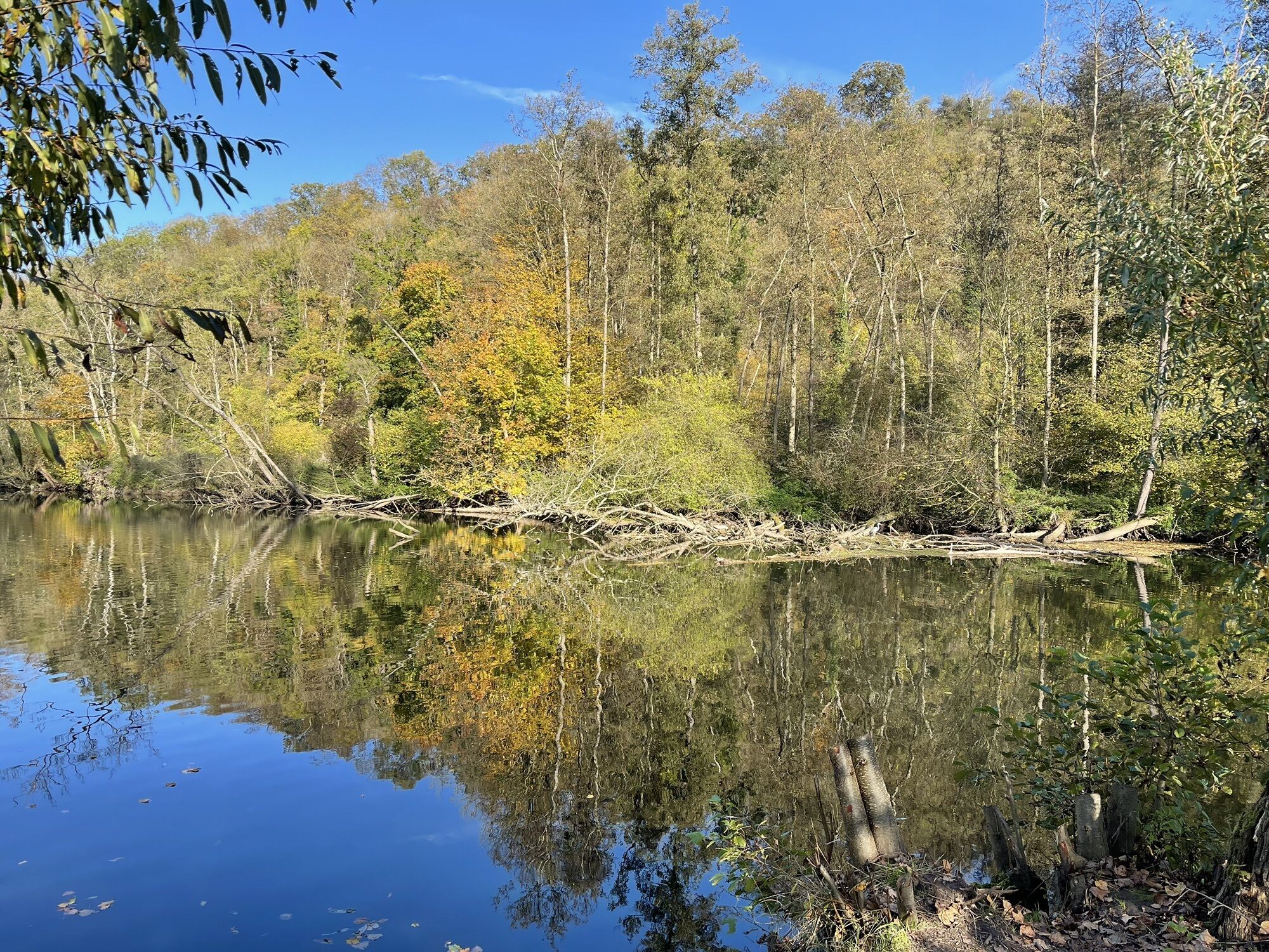
Vaihingen a.d. Enz - Oberriexingen >> 8 km >> From Vaihingen, which can look back on a long proud history, the next stage leads along a romantic part of the Enz to Enzweihingen. After crossing and passing under the Enz bridge, the path leads below the vineyards over Leinfelder Hof to Oberriexingen. Alternatively, a cycle path leads through Enzweihingen on the right side of the federal road uphill with an underpass to Unterriexingen.
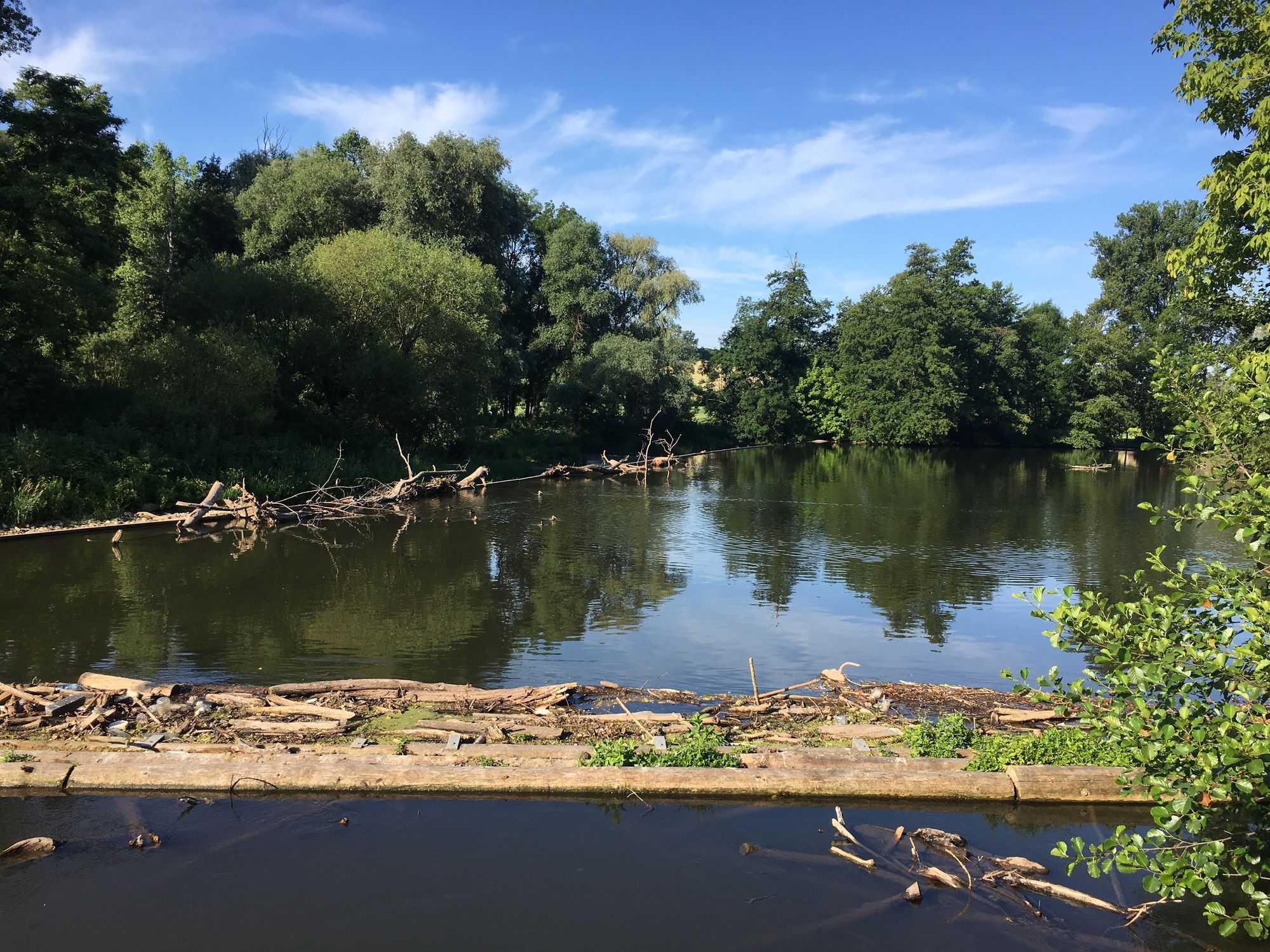
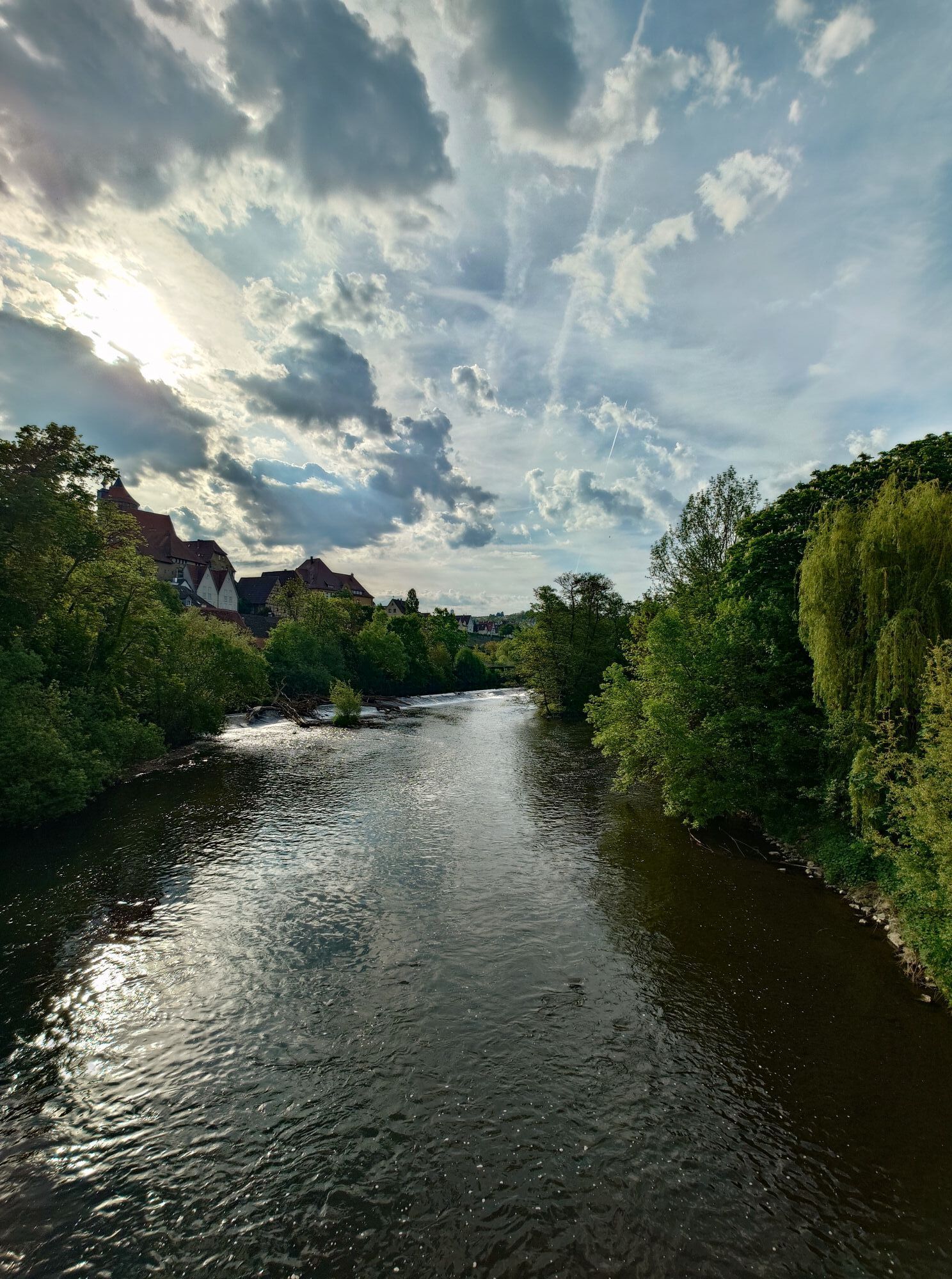
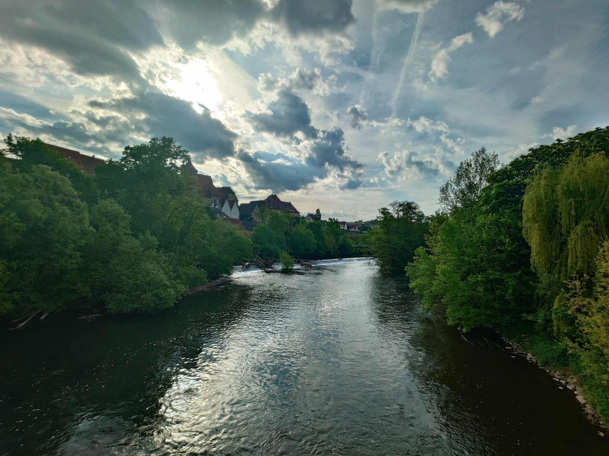
Oberriexingen - Bietigheim-Bissingen >> 12.5 km >> At the height of the city of Markgröningen, the “Enzeck”, a 180° bend of the Enz, offers a wonderful view of the river and the adjacent forests. You might even spot herons lurking for prey at the nearby weir.
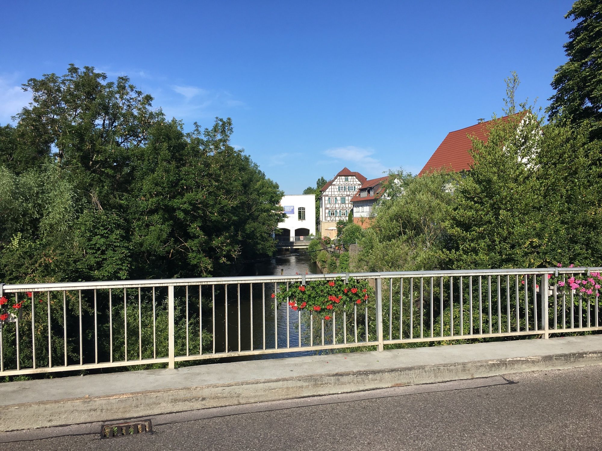
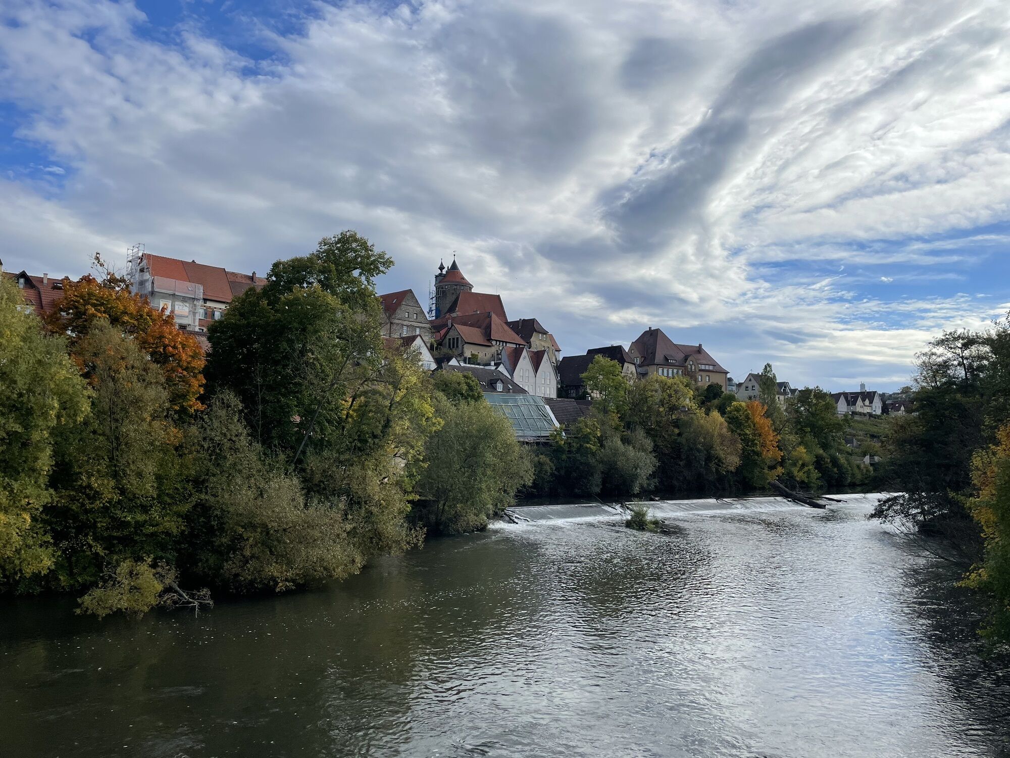
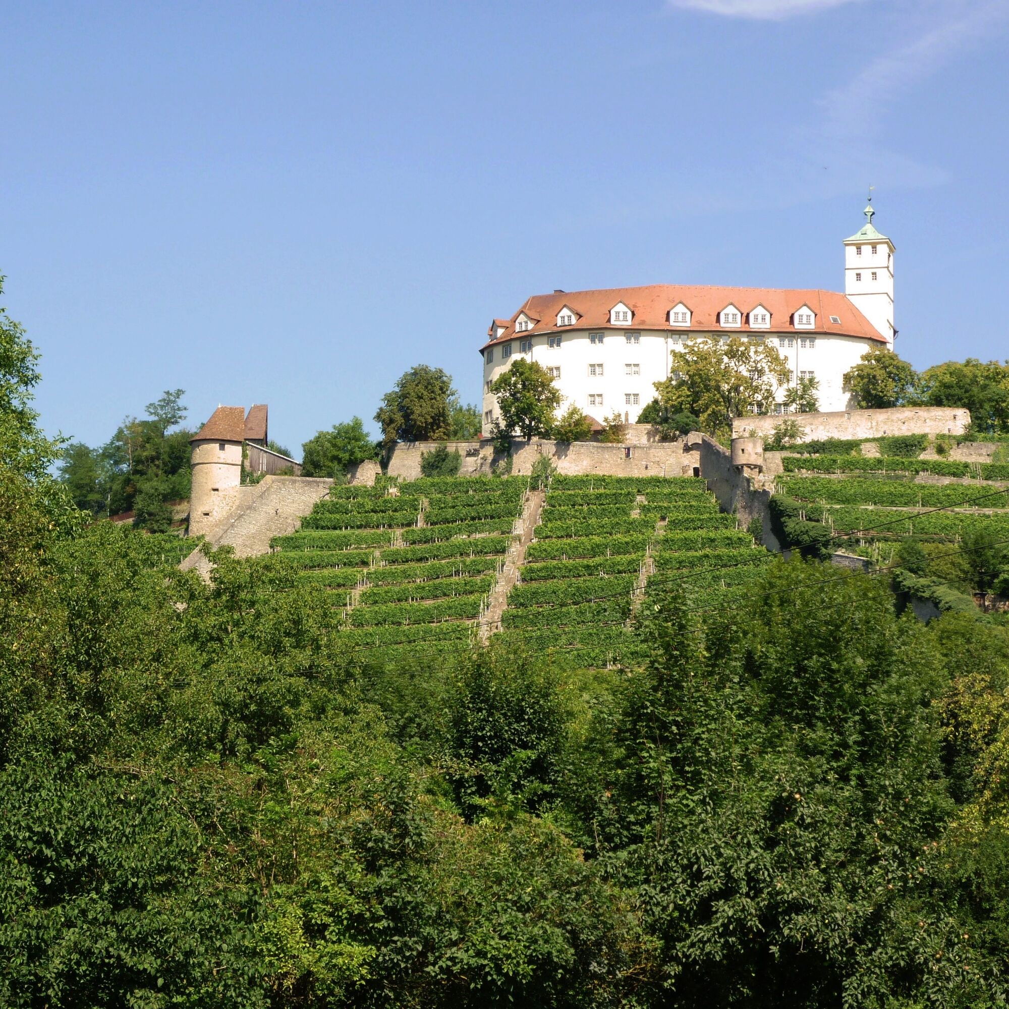
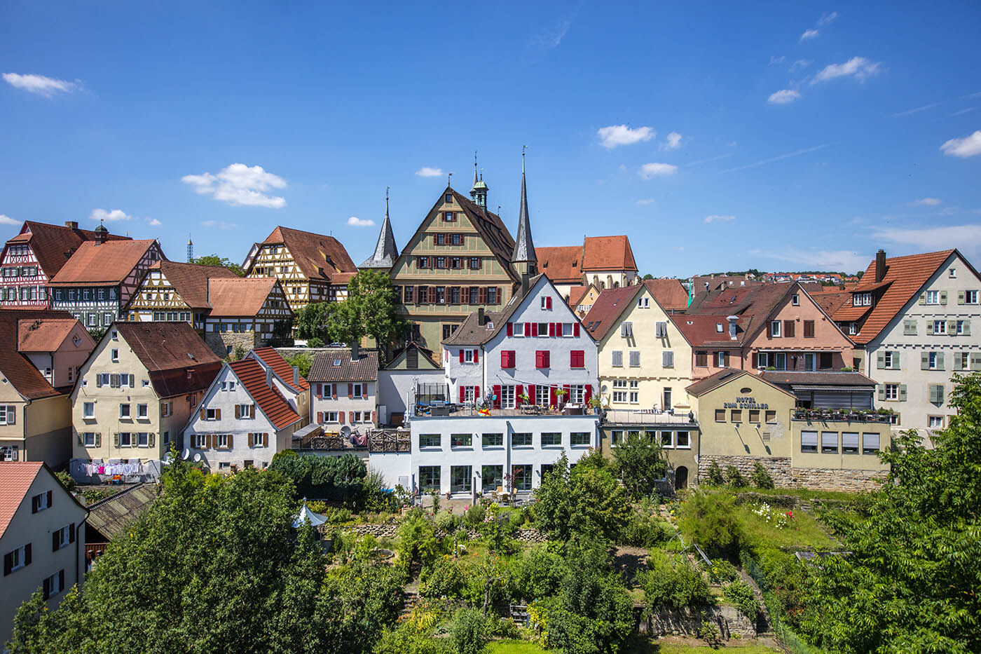
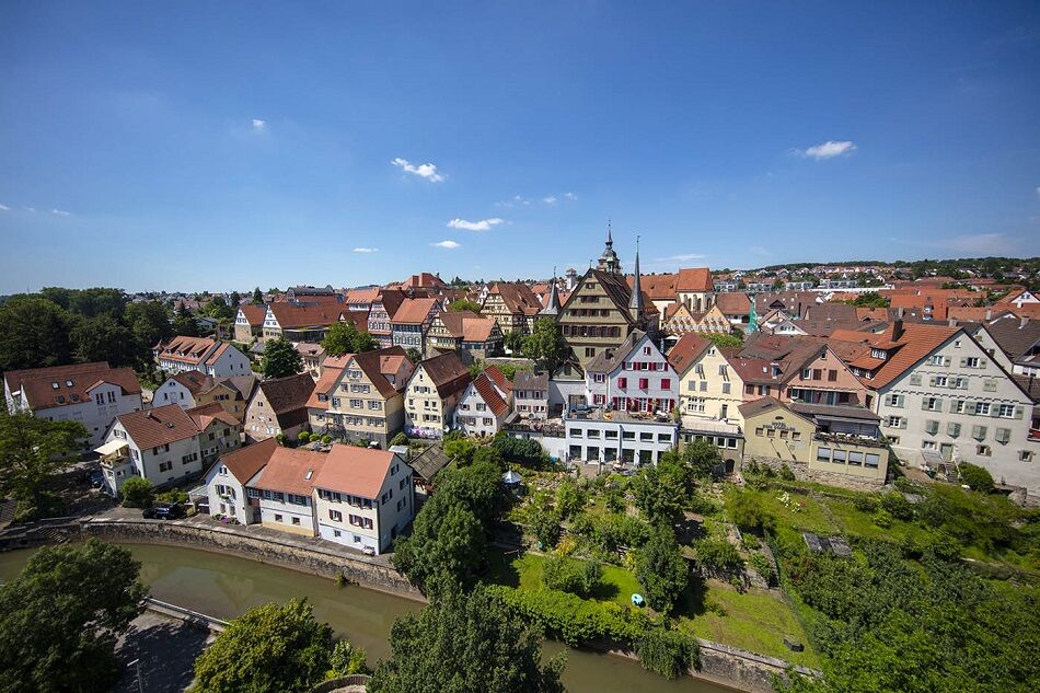
Bietigheim-Bissingen - Besigheim >> 7 km >> Through an idyllic meadow valley and the former garden exhibition area, the path leads through the twin city of Bietigheim-Bissingen, whose listed old town is directly connected to the Bürgergarten via the old Enz bridge. After a short passage through forest and along the vineyards, you reach the historic town of Besigheim, which was voted Germany's most beautiful wine town in autumn 2010.
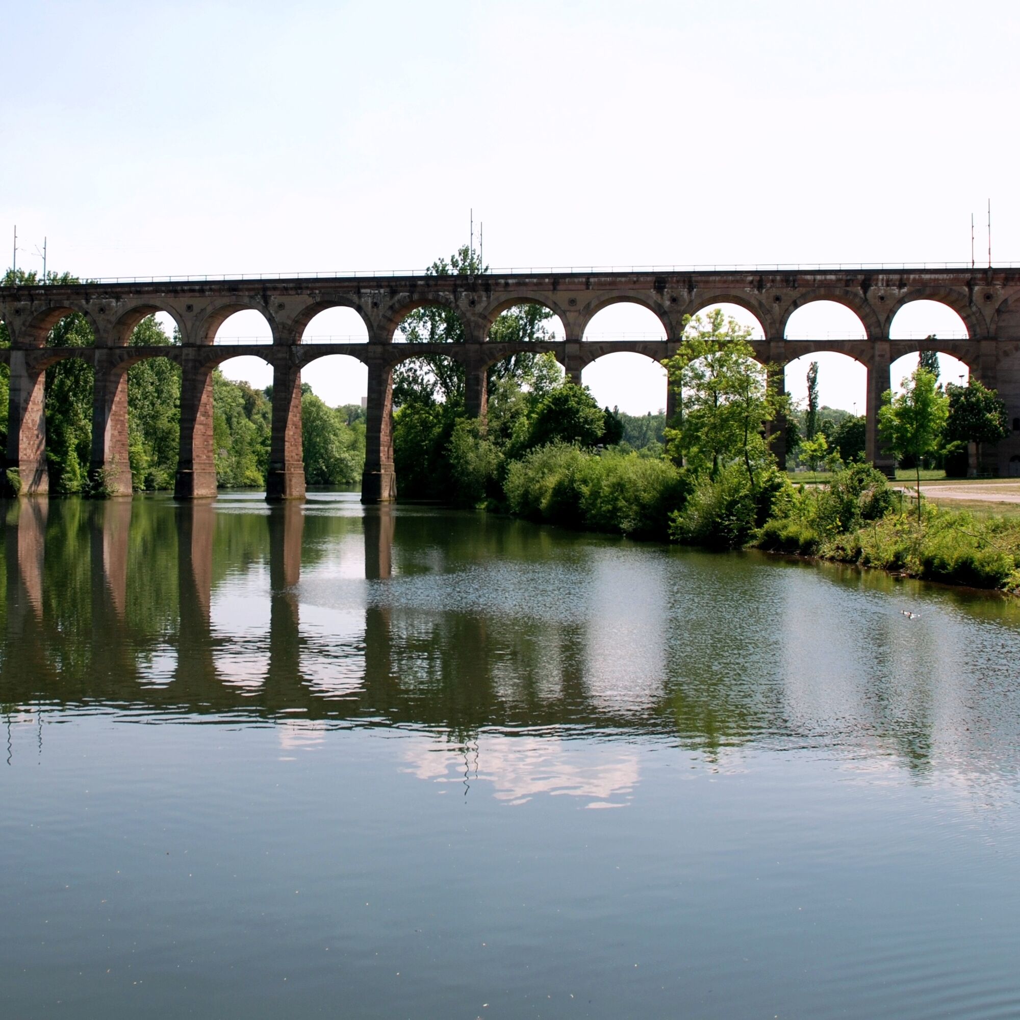
Besigheim - Walheim >> 3 km >> Over the Enz bridge, the cycle path briefly follows the inflow of the Neckar and leads into “Roman” Walheim, which features relics from Roman times. Here the Enz flows into the Neckar and the Enz valley cycle path also comes to an end.
Áno
Áno
Touring bike, trekking bike, or e-bike. Not suitable for racing bikes on all stages.
Bicycle helmet, comfortable clothing & good shoes as well as sufficient drinks.
Wherever you start the route, the Enz valley consistently has good transport connections. The highway networks Heidelberg-Karlsruhe and Stuttgart-Heilbronn are in close vicinity.
By train
All stage locations, except Enzklösterle, can be reached by train in an environmentally friendly way. Deutsche Bahn, regional trains, and S-Bahn of the transport associations usually allow bicycle carriage without problems. For example, the Stuttgart-Heilbronn city express to Walheim; the S5 light rail line from Karlsruhe towards Pforzheim, Mühlacker, Vaihingen, Bietigheim-Bissingen, or the S6, which runs between Pforzheim and Bad Wildbad.
By Enztäler cycle express
Abellio reliably brings you twice daily with modern railcars from Stuttgart to the romantic Enz valley to Bad Wildbad every Sunday and public holiday from May to October.
More information and exact times can be found at: https://www.bwegt.de/ihr-nahverkehr/fahrrad/radexpress/radexpress-enztaeler/
By bus
On Sundays and public holidays, some buses of line X78 run with a trailer from May 1 to November 1 from Bad Wildbad to Enzklösterle. These are marked with a small bicycle on the timetable. Bicycle carriage is limited; registration is recommended. The telephone number is also listed below the timetable.
The current timetable can be found at: https://www.vgc-online.de/fahrplaene-netz/fahrplaene/
Walheim – free car parking directly at the train station
1
Stay even longer! There is a great bookable package here for your 4-day cycling and holiday experience on the Enz Valley cycle path!
Obľúbené výlety v okolí
-
4,0
Mühlen, Wald, Wiesen & Wein
svetloTuristika 12,7 km -
3,3
Enzschleife Rosswag-Mühlhausen
strednáTuristika 10,7 km -
Glems Leudenbach Enz
strednáTuristika 11,9 km -
Ausblicke im Strohgäu und Stille im Wald
svetloTuristika 10,0 km -
Klosterroute Nordschwarzwald Stage 1: Maulbronn-Mühlacker
strednáTuristika 9,81 km -
MB4 - Museumsweg - Rund um Maulbronn
svetloTuristika 7,93 km -
ZA1 - Drei-Seenweg Zaberfeld
Turistika 9,32 km -
German Timber-Frame Road: Calw – Bietigheim-Bissingen
strednáCyklistika 89,1 km -
Naturparke-Gravel-Crossing Tag 3 - Von Heilbronn nach Mühlacker
strednáŠtrkový bicykel 61,8 km -
SH3 - Hohenhaslacher Wein-Wald-Weg
strednáTuristika 5,60 km

Turistika a stopovanie


Nenechajte si ujsť ponuky a inšpiráciu na ďalšiu dovolenku
Vaša e-mailová adresa bol pridaný do poštového zoznamu.