


Lauterbach High Valley Circuit in the hiking paradise Alb - Black Forest
Úroveň náročnosti: T1
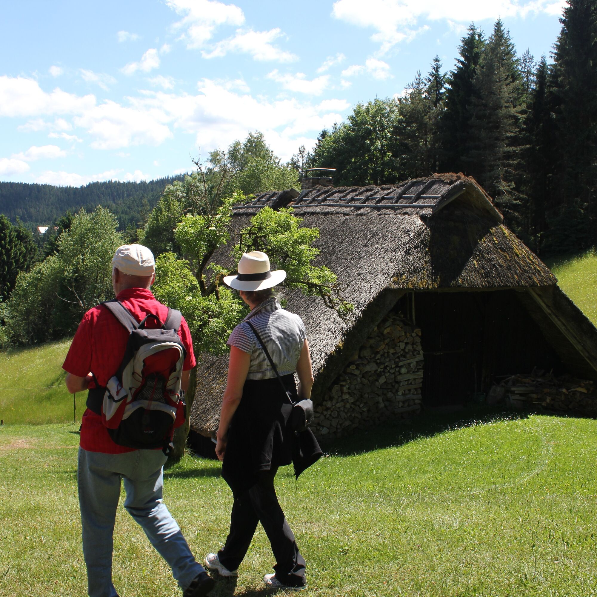
We begin the scenic circular hike at the highest point, the Mooswaldkopf, at 879 m above sea level, at the hiking car park by the "Gedächtnishaus". The "Gedächtnishaus" is located above the Fohrenbühl...
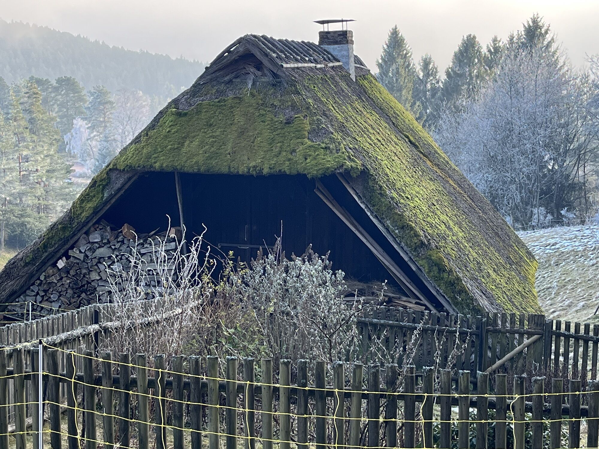
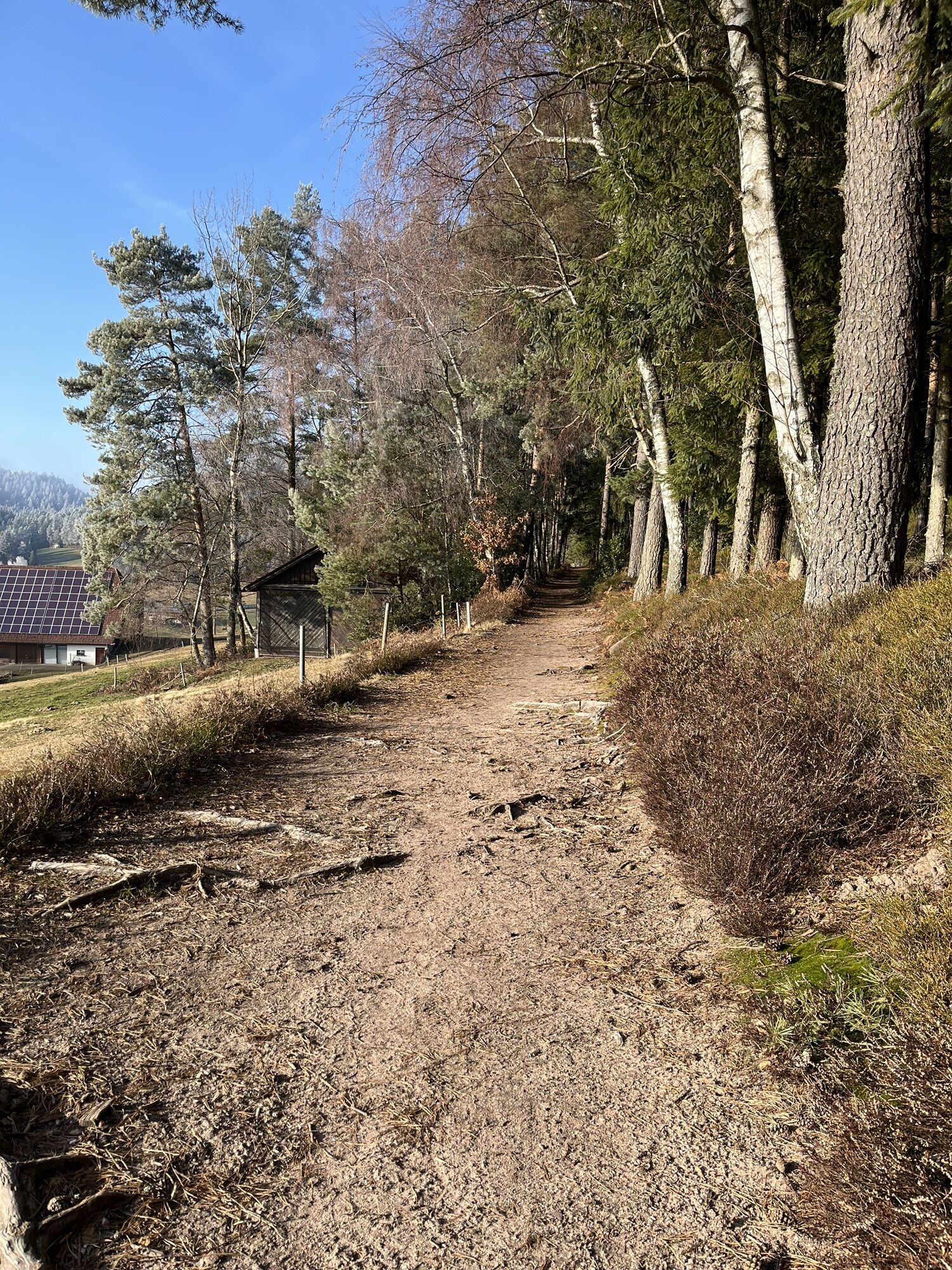
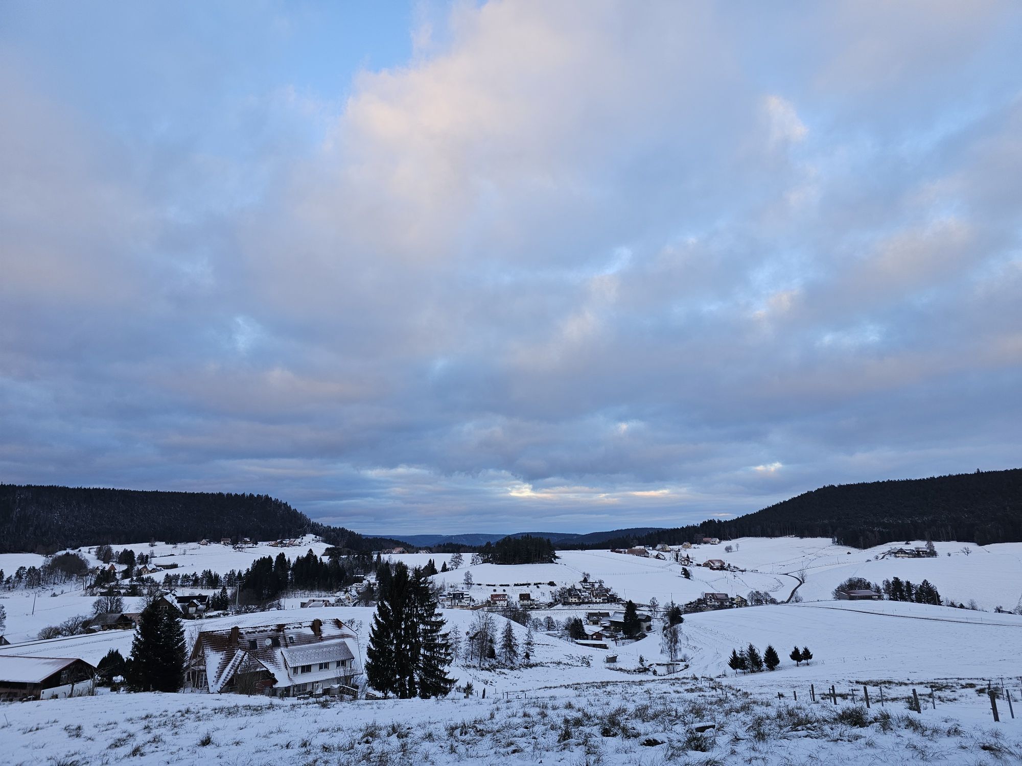
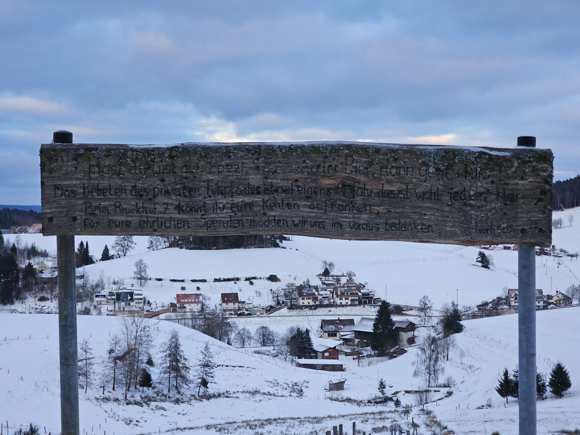
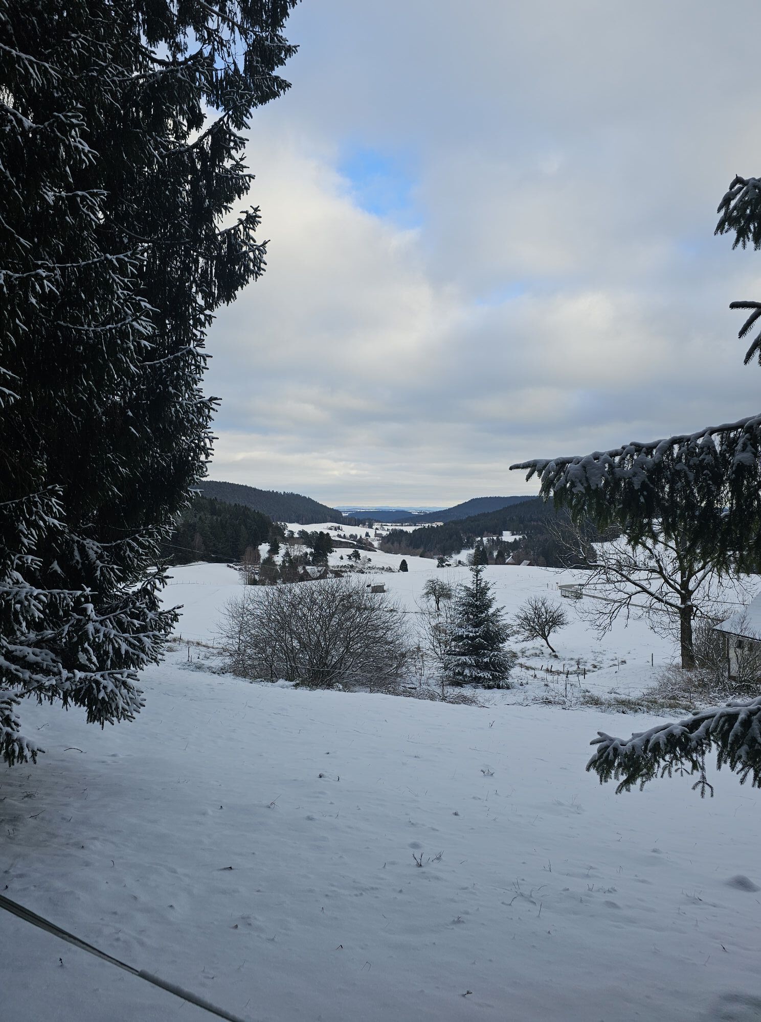
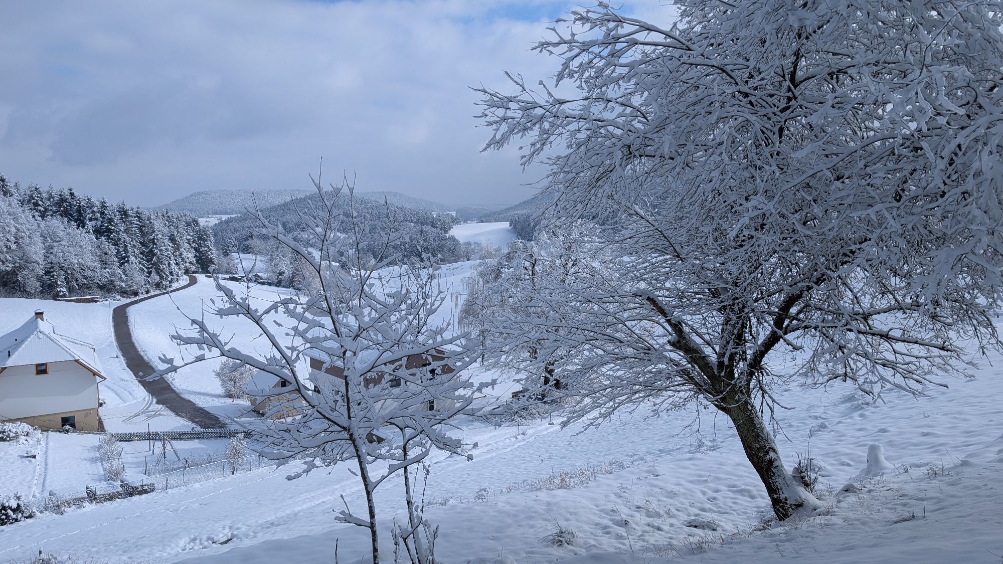
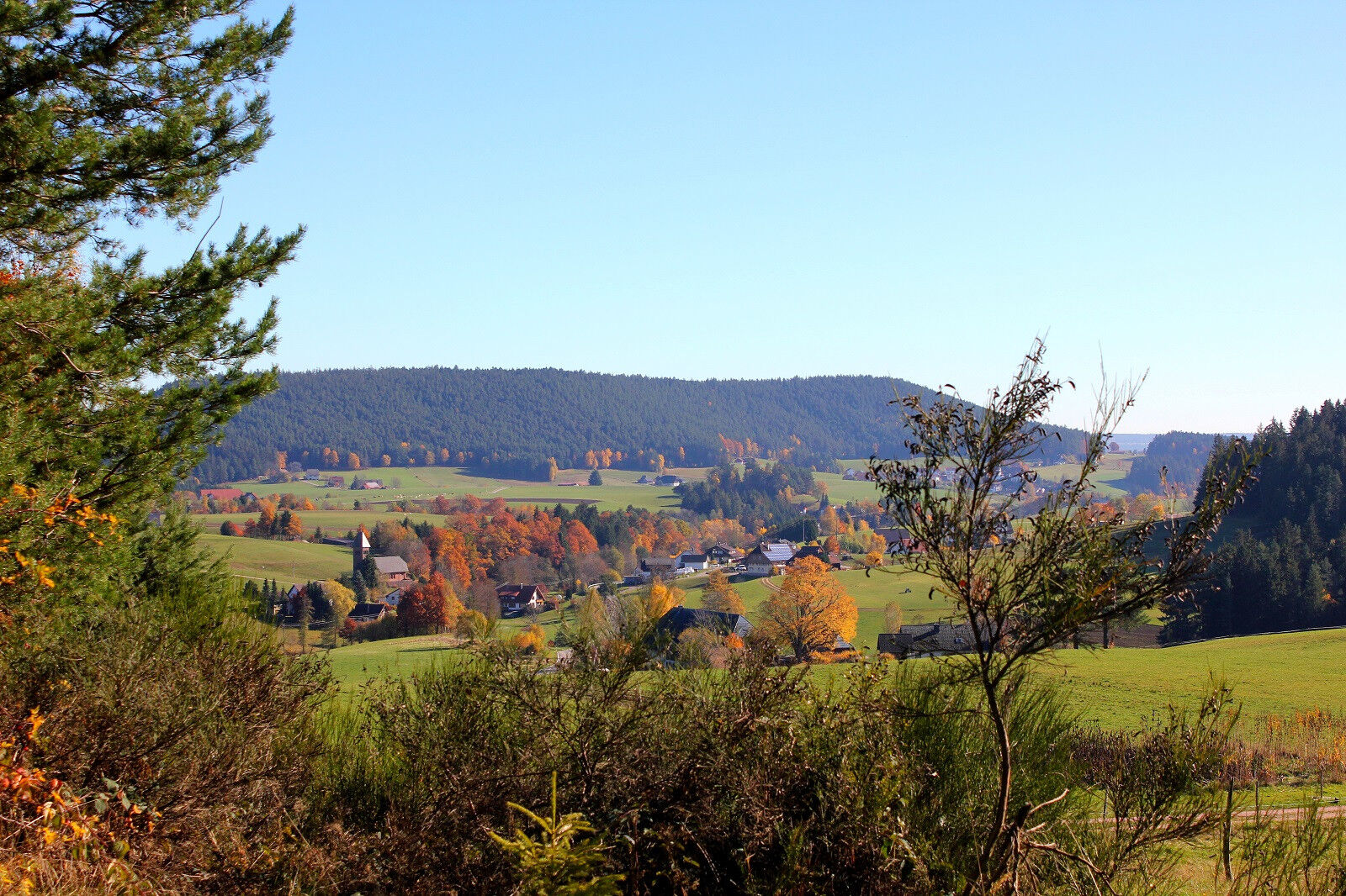
We begin the scenic circular hike at the highest point, the Mooswaldkopf, at 879 m above sea level, at the hiking car park by the "Gedächtnishaus". The "Gedächtnishaus" is located above the Fohrenbühl pass. It was built in 1924 by the Black Forest Association. First, go about 200 m downhill on the road along the Mittelweg (red lozenge), then turn right onto the forest path to the charcoal burner’s site, where the charcoal burners once practiced their craft. Via the "Mooswald" site (approx. 200 m away is the 1st refreshment station), we reach probably the most photographed and listed Leibgedinghaus in the region, the "Kapfhäusle" (privately owned). Over the footbridge, which leads over the raised bog, we reach the Rotwasser hiking car park. From here, the route can also be walked in the opposite direction. We follow the blue lozenge on the Kinzig-Neckar trail, past the former Hasen guesthouse, from where we cross the Rotwasser and reach Kienbronn. Here, two well-maintained seating areas invite you to a cozy rest with the whole beauty of the Sulzbach Valley in view. Over the Bruckdobel, now following the yellow lozenge, we reach the Sulzbach in the valley, which we cross and then immediately turn left. The path leads us past the listed old Bruckhof to Bruckhof No. 7, where the 2nd refreshment station is set up. From inside the farm, we hike up a narrow, grass-covered path to the "Mooserhof" site. On a good forest path, we walk past the "Welschdorf" site to the "Spittel" ascent, where the 3rd refreshment station awaits us. The further path runs sharply left and uphill to the "Mooswaldkopf", here we reach our starting point again after 10.6 km.
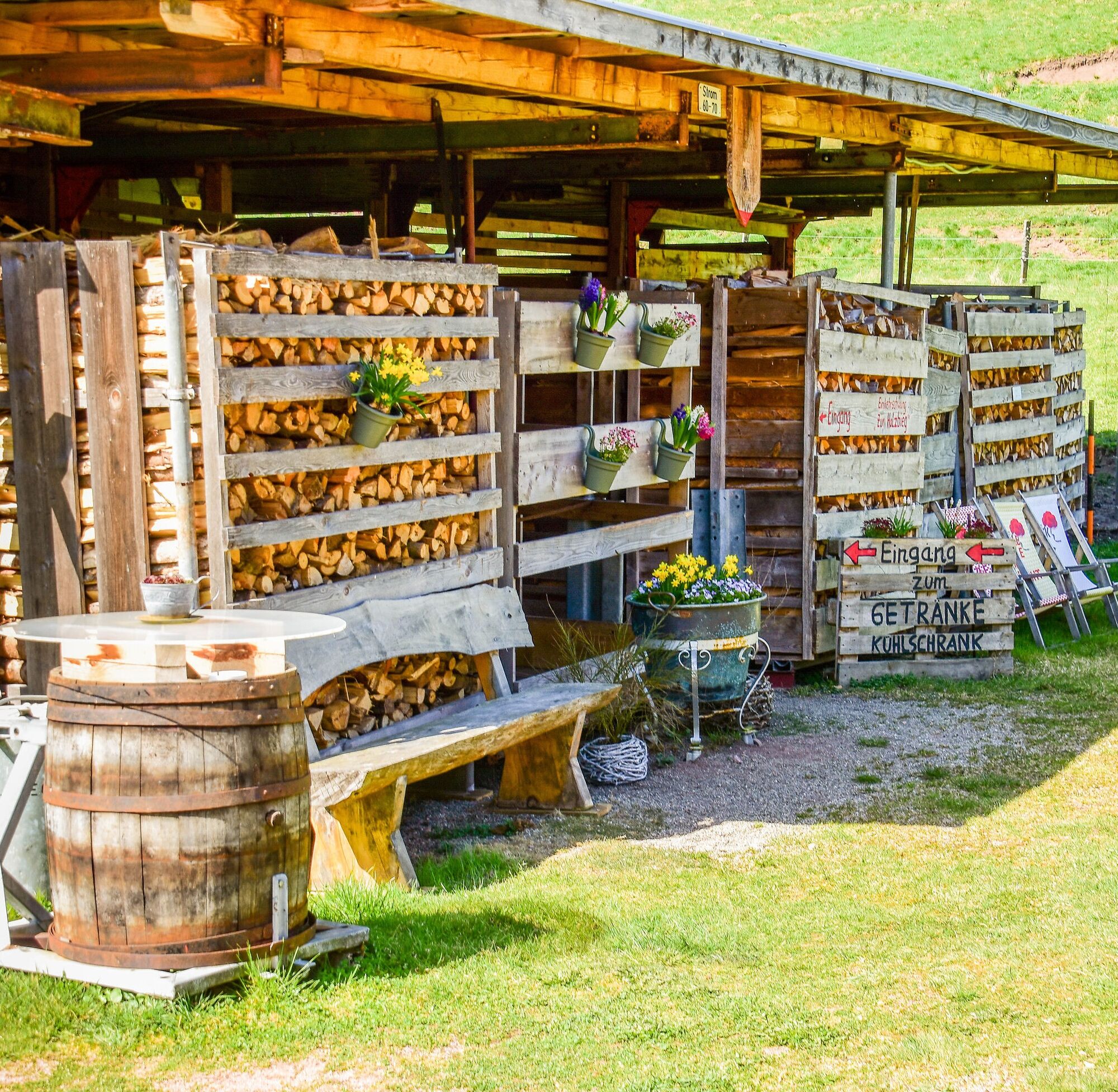
Places to eat: the inns directly on the Fohrenbühl or directly in Lauterbach.


At the signpost locations, signs show you the High Valley Circuit route in both directions. Between the signposts, the path is marked with lozenges.
From the Rotwasser car park to the Kienbronn Bruckdobel signpost, the route is marked with a blue lozenge.
From the Kienbronn Bruckdobel signpost to the Gedächtnishaus signpost, the route is marked with a yellow lozenge.
From the Gedächtnishaus to the Kapfhäusle, you must follow the red Mittelweg lozenge.
Again with a blue lozenge, the route from the Kapfhäusle to the Rotwasser car park is marked.
Áno
Áno
Sturdy footwear and a rain jacket are recommended.
Coming from Schramberg or Hornberg via the L108 to the Fohrenbühl pass, then turn off to the "Gedächtnishaus" Mooswaldkopf. Or to Lauterbach town hall (Schramberger Str. 5); turn here into Albert-Gold-Straße and then continue on the district road (Sulzbacher Straße), which leads to the Rotwasser hiking car park.
Hornberg train station, with bus to Fohrenbühl
Schiltach train station with bus to Schramberg, then on to Lauterbach-Fohrenbühl
At the hiking car park by the "Gedächtnishaus" or the Rotwasser hiking car park
T1
Many beautiful objects for photographers
Could also be done as a half-day hike.
Obľúbené výlety v okolí
-
4,8
AugenBlick-Runde Lauterbach Güntersberg
svetloTuristika 10,2 km -
5,0
Wolfach settlers' loop large round
strednáTuristika 9,04 km -
3,5
Circular hike on the Black Forest Railway Experience Trail
strednáTuristika 6,56 km -
Westweg - Westvariante
ťažkédiaľková pešia trasa 288,8 km -
5,0
Schiltach: Schenkenburg - Kaibach - Circular route
strednáTuristika 12,3 km -
5,0
AugenBlick Route Schramberg-Tennenbronn
strednáTuristika 7,84 km -
5,0
Premiumweg Wolfacher Schlossblick
strednáTuristika 7,12 km -
3,7
Rundwanderung über die Staude
strednáTuristika 9,13 km -
Hornberg Panorama Trail
strednáTuristika 14,6 km -
4,0
Flößerpfad Kinzigtal
strednáTematická trasa 33,6 km

Turistika a stopovanie


Nenechajte si ujsť ponuky a inšpiráciu na ďalšiu dovolenku
Vaša e-mailová adresa bol pridaný do poštového zoznamu.