


Via Claudia Augusta
Úroveň náročnosti: 3
Fotografie našich používateľov
-
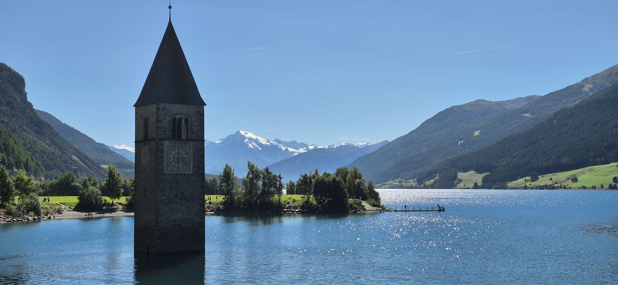
 © RALF.Vytvorené dňa 08.08.2023
 -
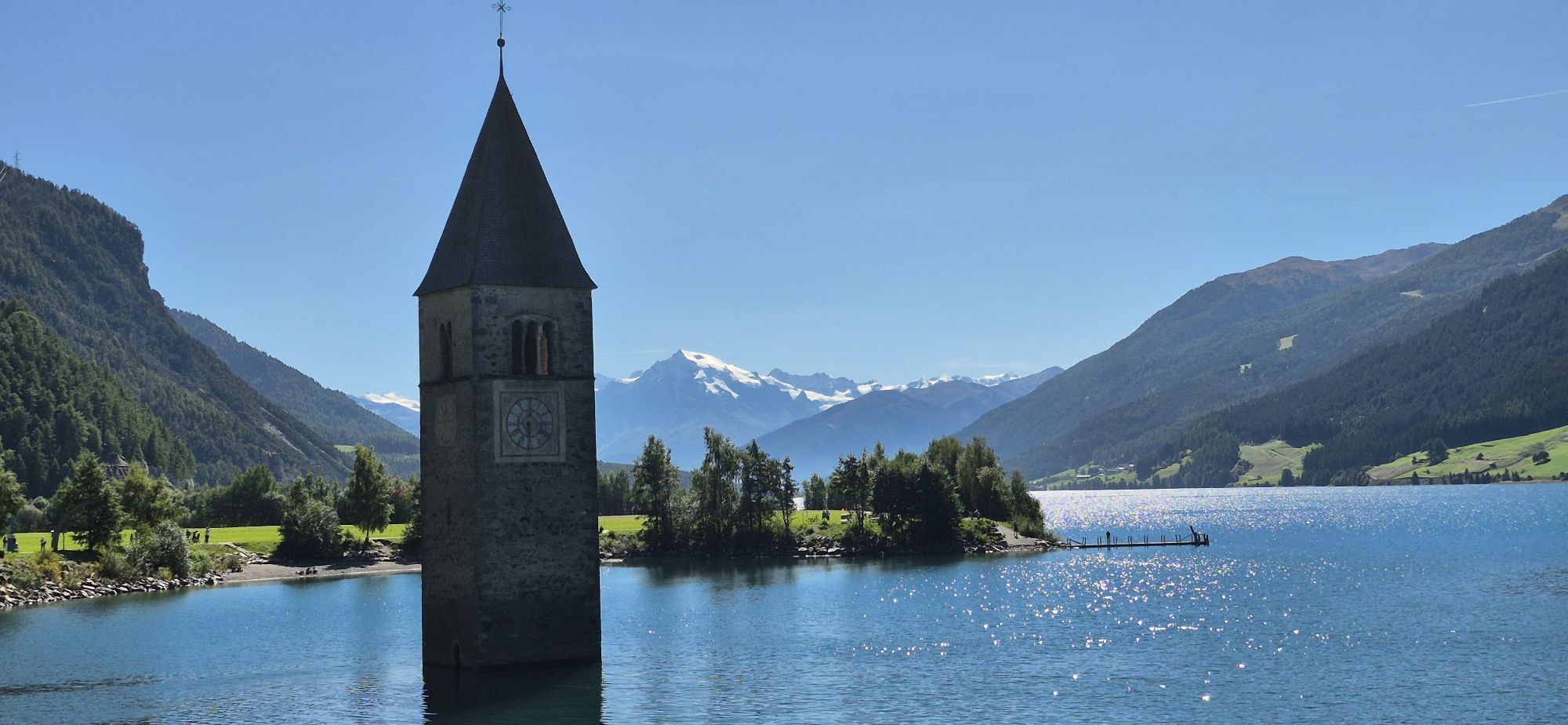
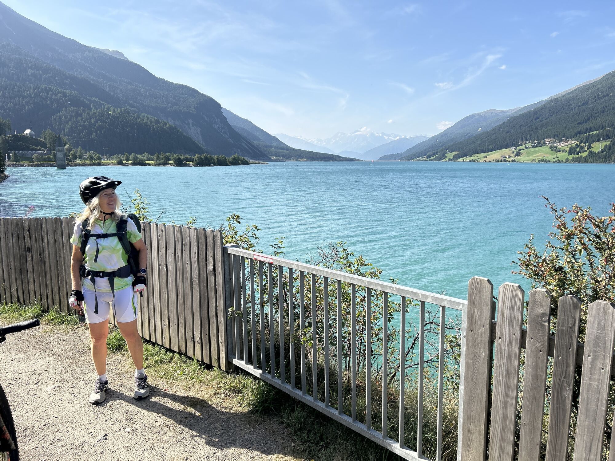
 © Jürgen ClementVytvorené dňa 28.07.2023
 -
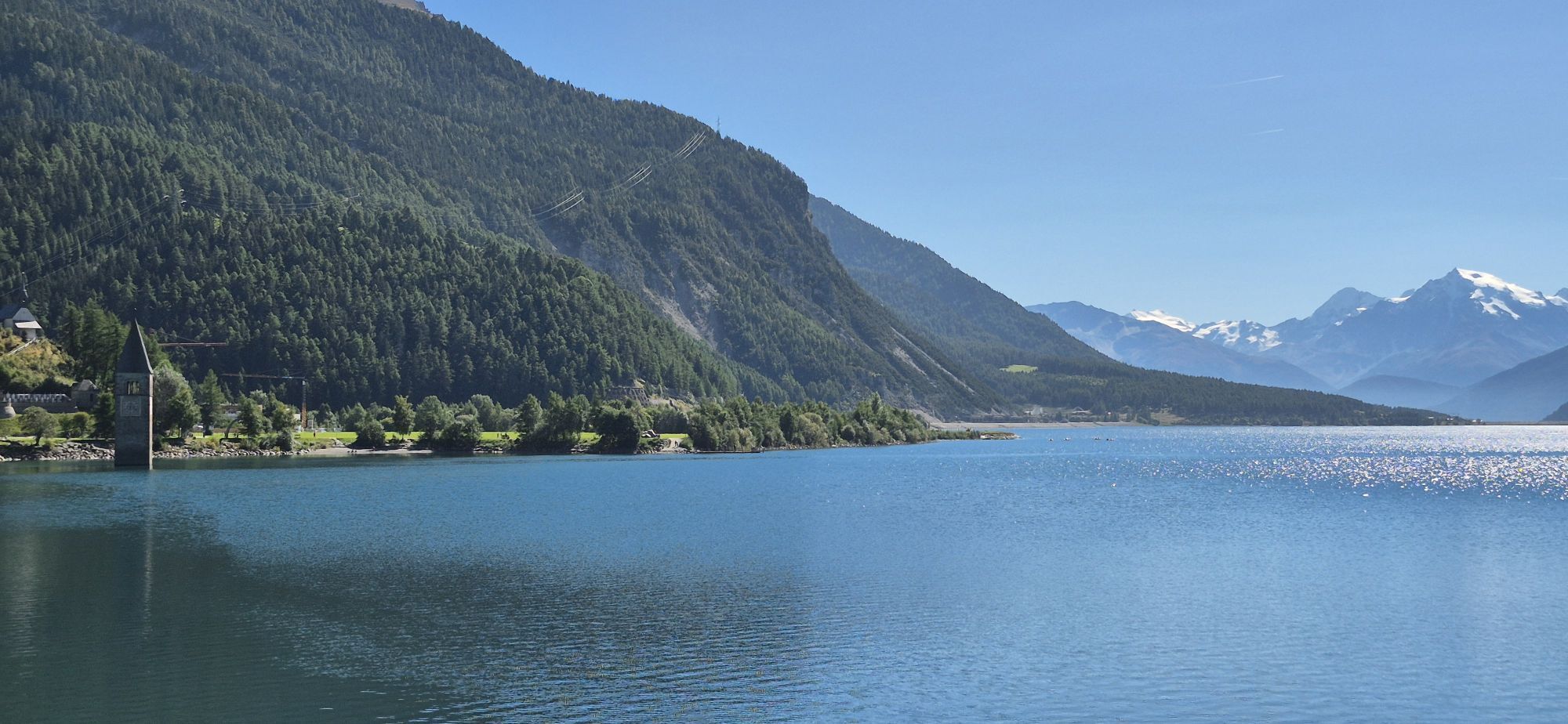
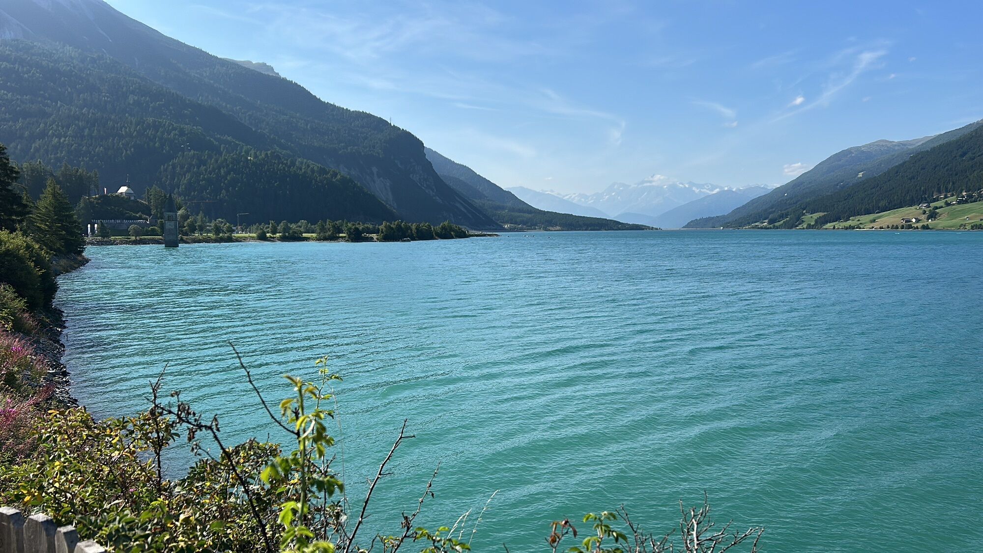
 © Jürgen ClementVytvorené dňa 28.07.2023
 -
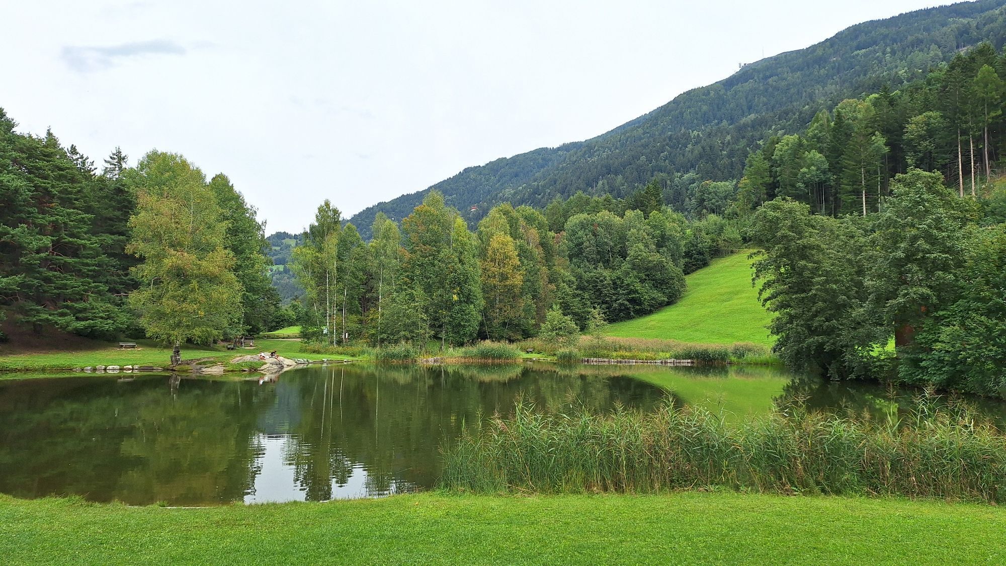
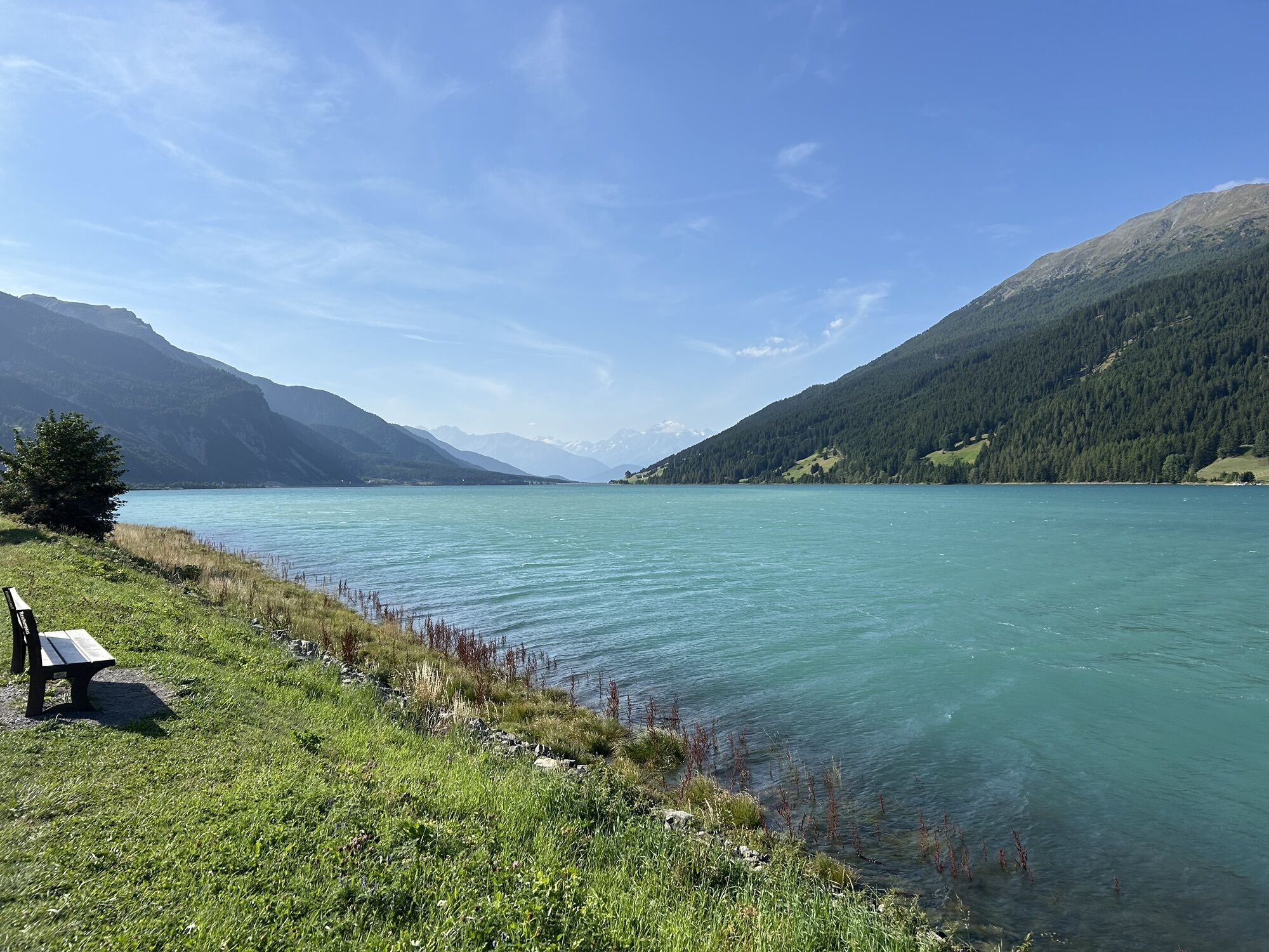
 © Axel WittVytvorené dňa 23.05.2026
 -

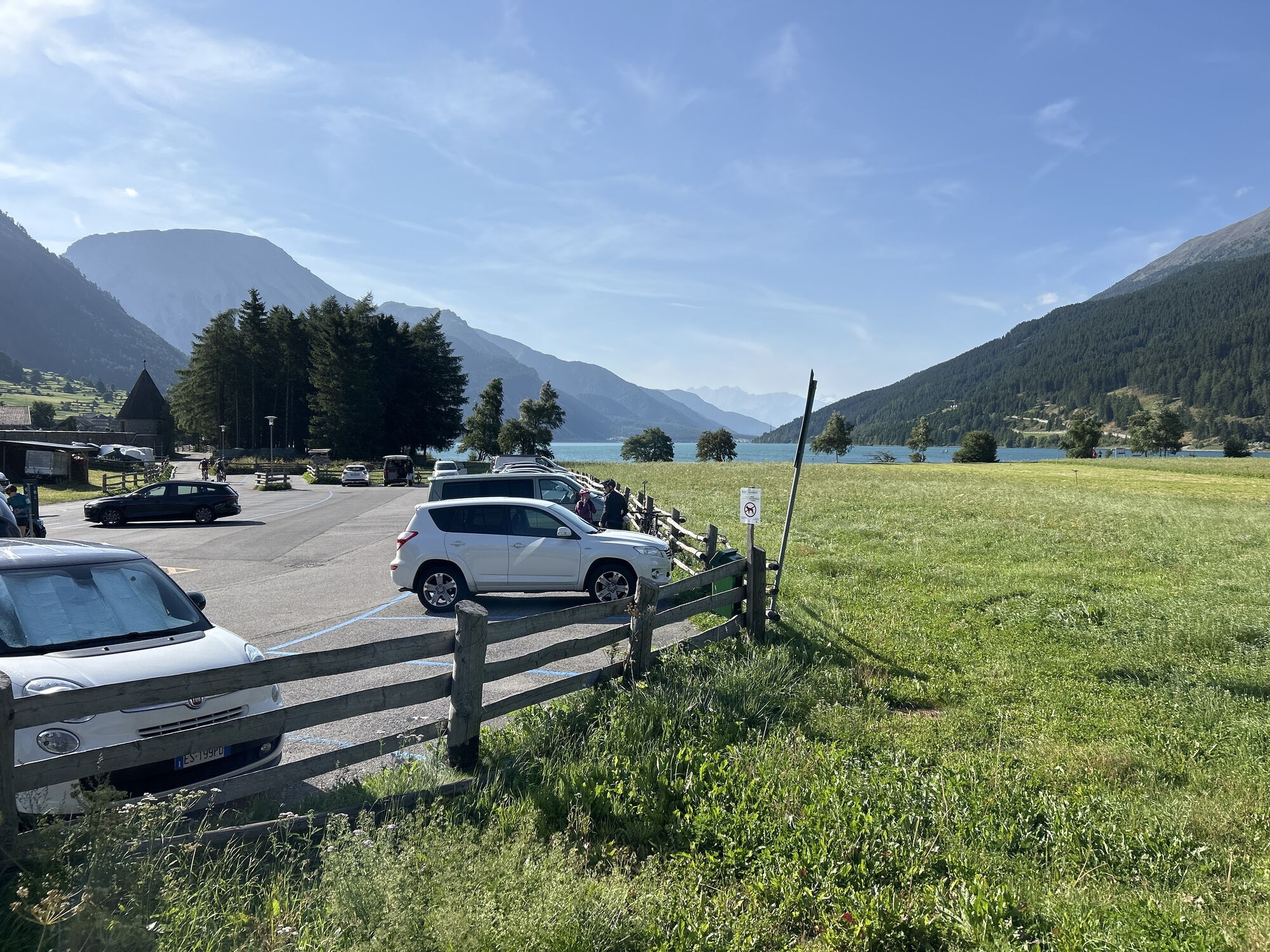
 © GabrieleHuemerVytvorené dňa 30.04.2026
 -
 © GabrieleHuemerVytvorené dňa 30.04.2026
 -

 © Stefano “Iddo”Vytvorené dňa 25.04.2026
 -
 © Axel WittVytvorené dňa 07.04.2026
 -
 © Axel WittVytvorené dňa 07.04.2026
 -
 © Axel WittVytvorené dňa 07.04.2026
 -
 © Walter TinkhauserVytvorené dňa 06.04.2026
 -
 © Christian FreythalerVytvorené dňa 05.04.2026
 -
 © Christian FreythalerVytvorené dňa 05.04.2026
 -
 © Axel WittVytvorené dňa 24.03.2026
 -
 © Martin GlaserVytvorené dňa 22.11.2025
 -
 © Andy SchennachVytvorené dňa 20.09.2025
 -
 © Andy SchennachVytvorené dňa 20.09.2025
 -
 © Andy SchennachVytvorené dňa 20.09.2025
 -
 © Andy SchennachVytvorené dňa 20.09.2025
 -

 © HeisiVytvorené dňa 18.09.2025
 -
 © HeisiVytvorené dňa 18.09.2025
 -
 © HeisiVytvorené dňa 18.09.2025
 -
 © HeisiVytvorené dňa 18.09.2025
 -
 © Veronica ThoeniVytvorené dňa 08.09.2025
 -

 © Fritz LändlsbergerVytvorené dňa 04.09.2025
 -

 © Petra PoslusnyVytvorené dňa 22.08.2025
 -
 © BBVytvorené dňa 15.08.2025
 -
 © BBVytvorené dňa 15.08.2025
 -
 © BBVytvorené dňa 15.08.2025
 -
 © BBVytvorené dňa 15.08.2025
 -
 © BBVytvorené dňa 15.08.2025
 -
 © BBVytvorené dňa 15.08.2025
 -
 © BBVytvorené dňa 15.08.2025
 -
 © BBVytvorené dňa 15.08.2025
 -
 © Stefano “Iddo”Vytvorené dňa 14.08.2025
 -
 © Karl-Wilhelm KlötergensVytvorené dňa 14.08.2025
 -
 © Andy SchennachVytvorené dňa 09.08.2025
 -
 © Andy SchennachVytvorené dňa 09.08.2025
 -

 © lotharkoernerVytvorené dňa 21.07.2025
 -
 © Ralf HohenbichlerVytvorené dňa 20.07.2025
 -
 © Ralf HohenbichlerVytvorené dňa 20.07.2025
 -
 © lotharkoernerVytvorené dňa 20.07.2025
 -
 © lotharkoernerVytvorené dňa 20.07.2025
 -
 © lotharkoernerVytvorené dňa 20.07.2025
 -
 © lotharkoernerVytvorené dňa 20.07.2025
 -
 © lotharkoernerVytvorené dňa 20.07.2025
 -
 © Axel WittVytvorené dňa 19.07.2025
 -
 © Gianberto ZilliVytvorené dňa 10.07.2025


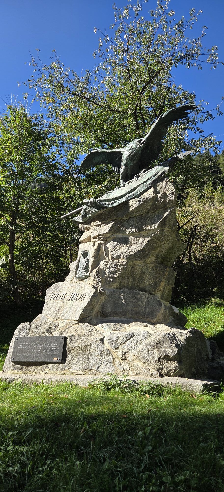


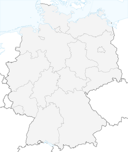
The Via Claudia Augusta Altinate is one of Europe's great historic routes, an ancient Roman axis that connected the Altino area near the Venetian lagoon to the Danube, crossing the entire Alpine arc. Today...
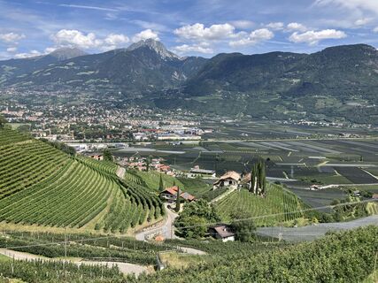
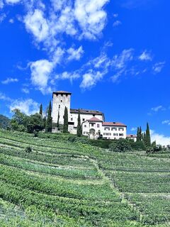
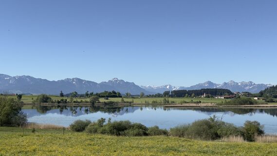
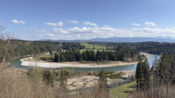
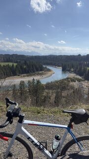
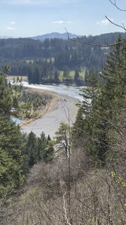
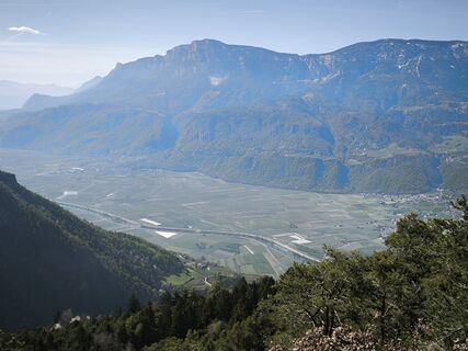
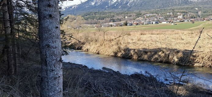
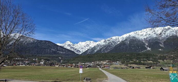
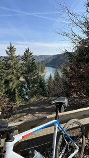
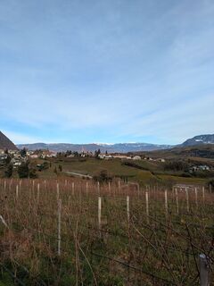
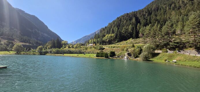
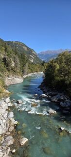
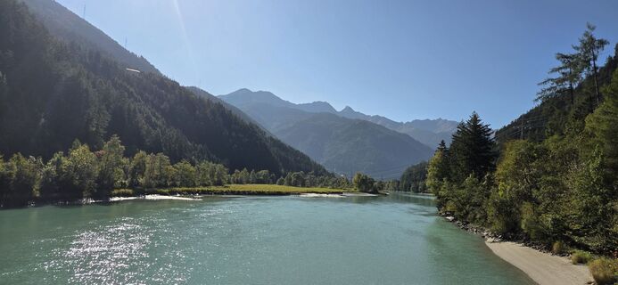
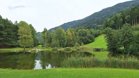
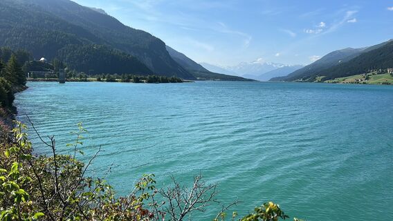
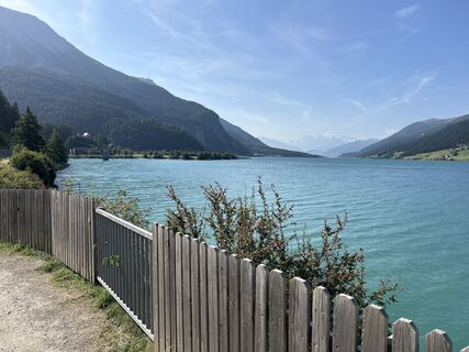
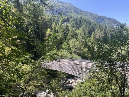
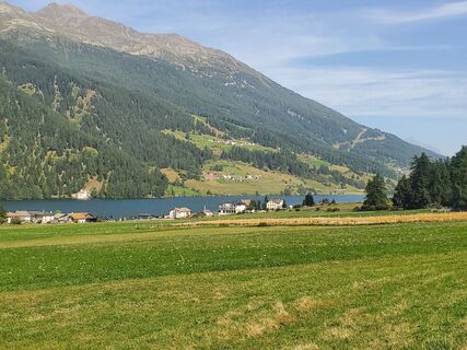
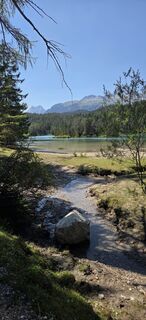
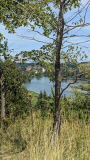
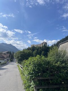
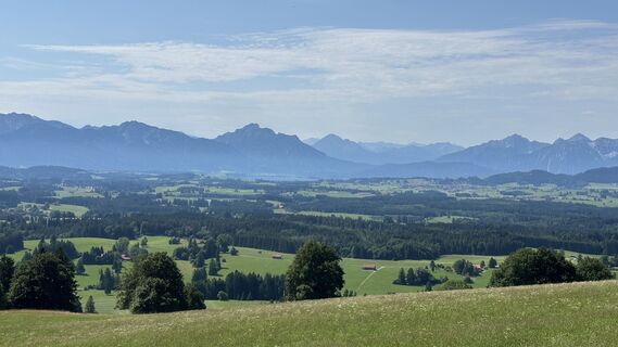
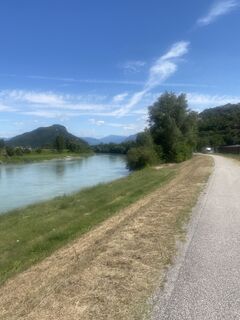
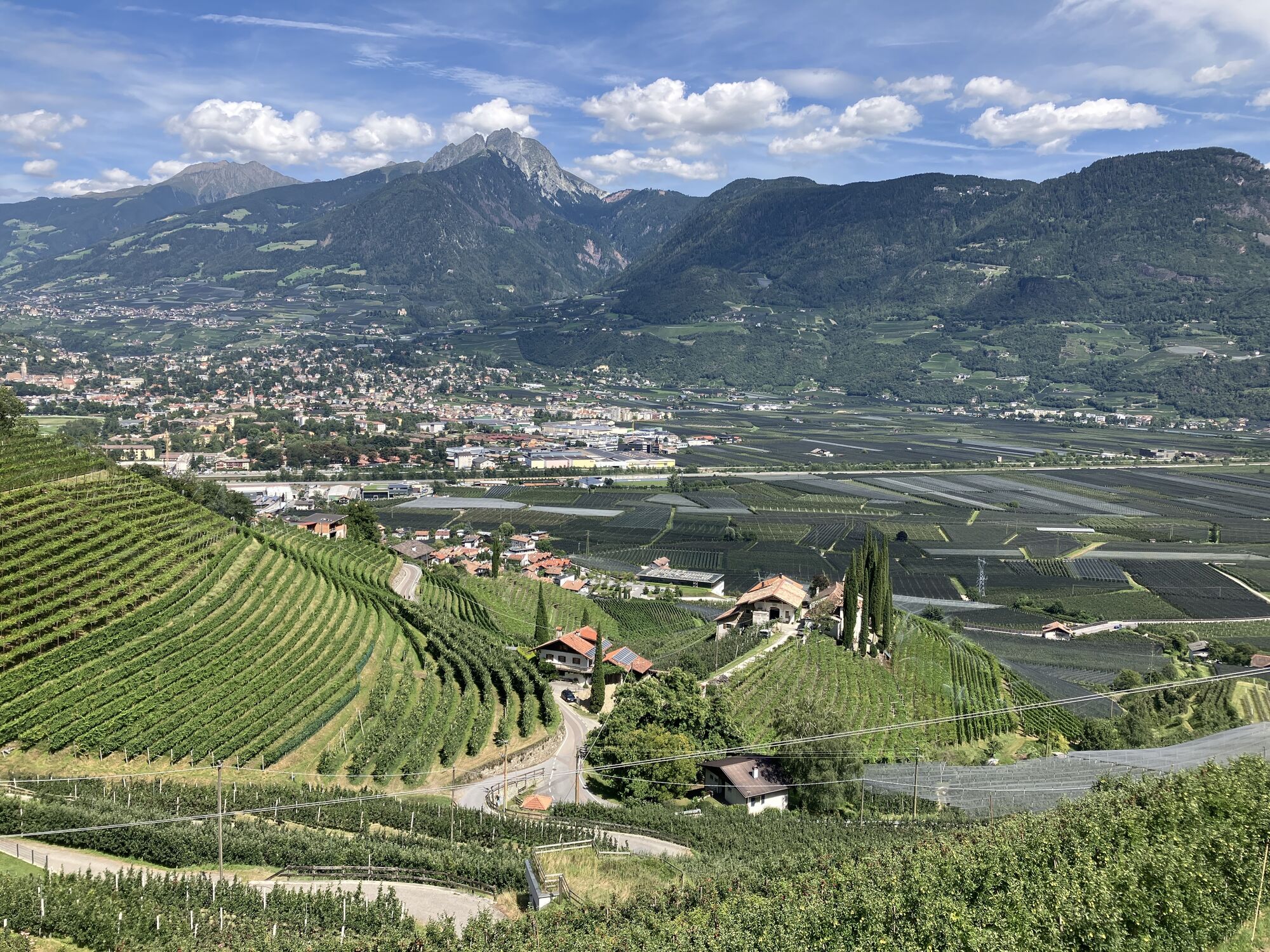
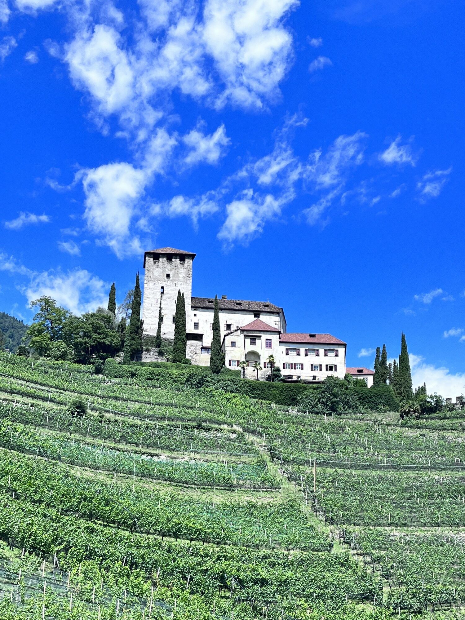
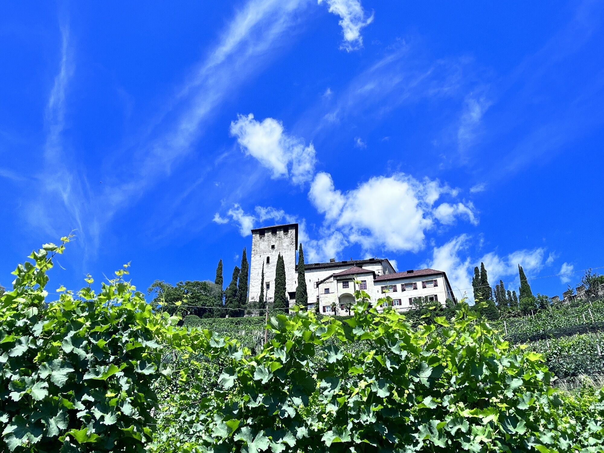
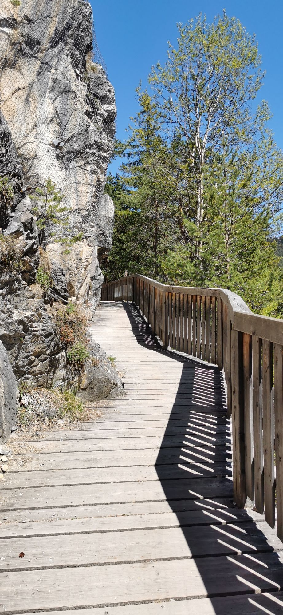
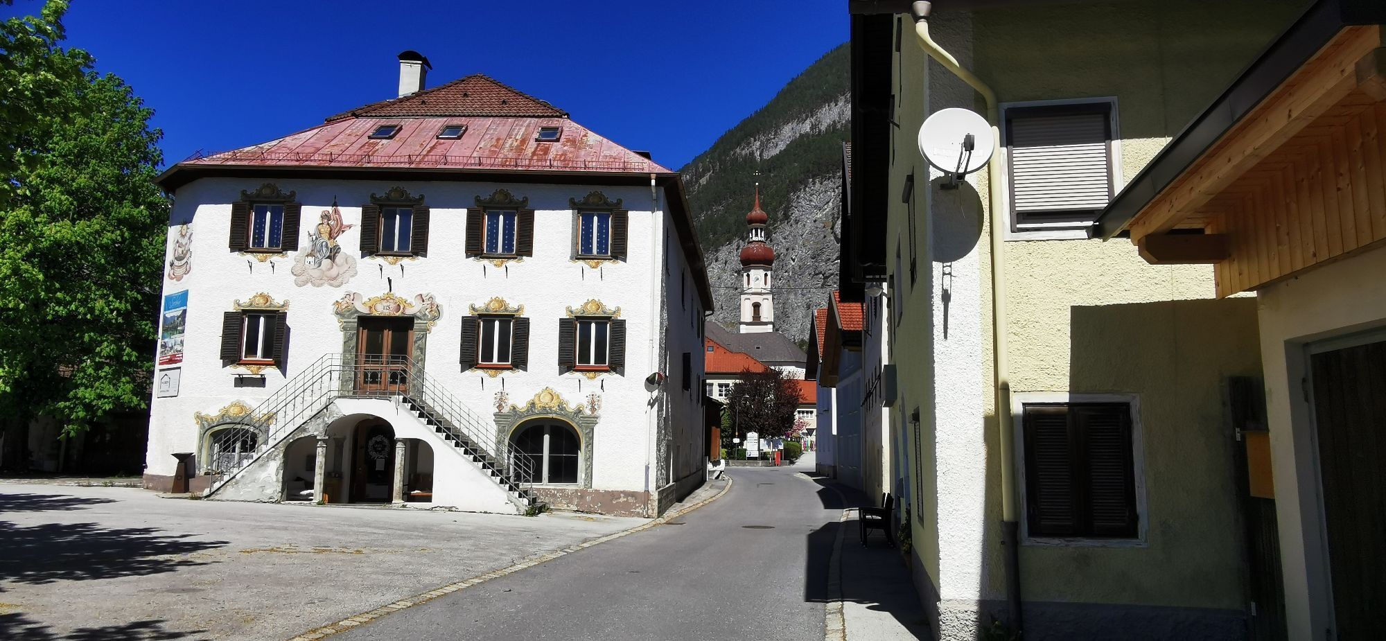
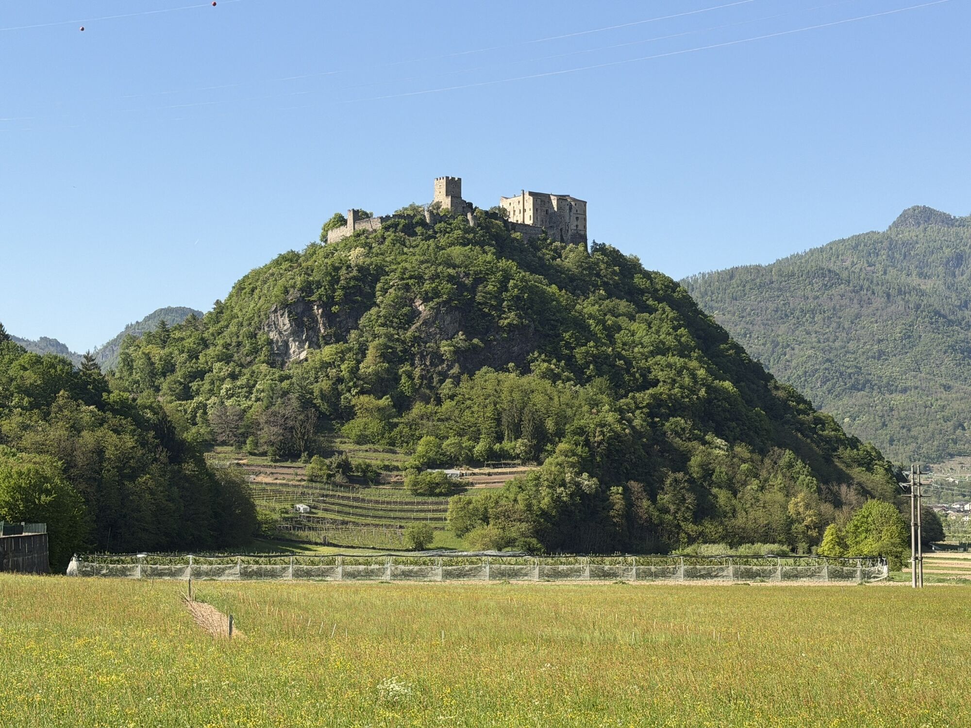
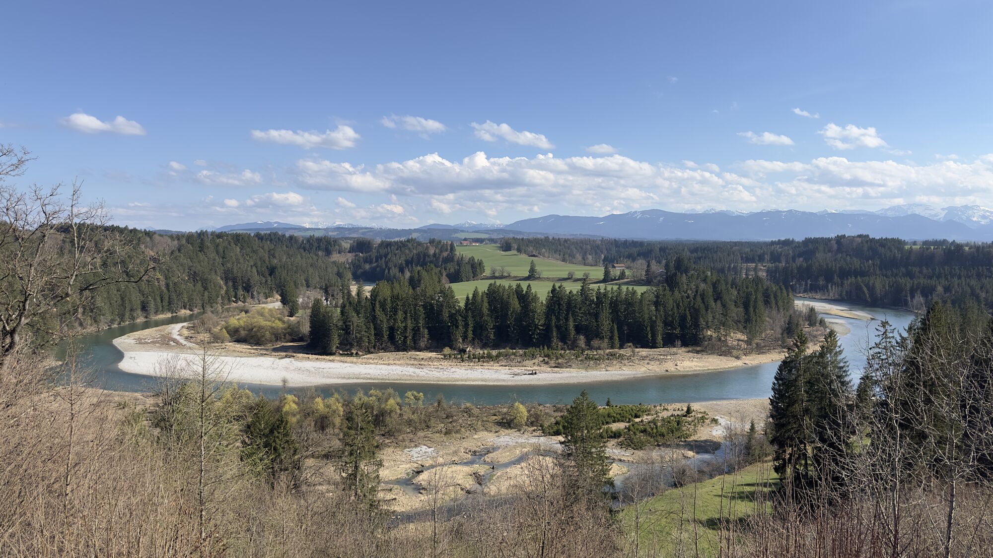
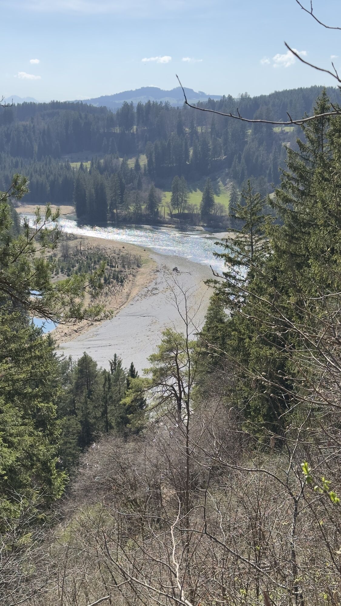
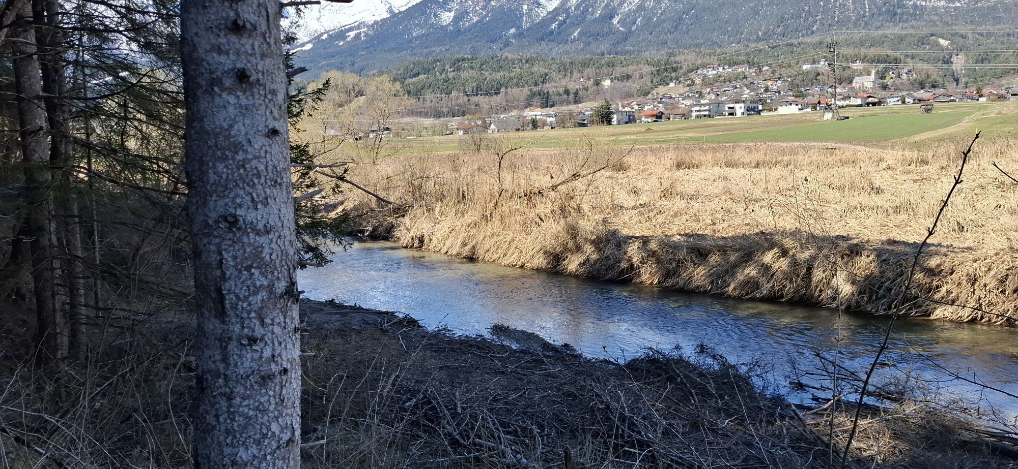
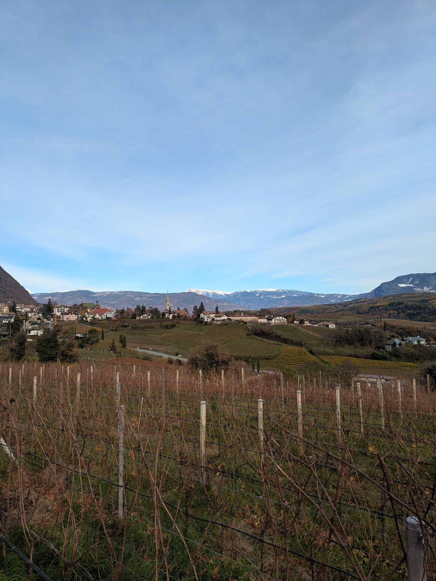
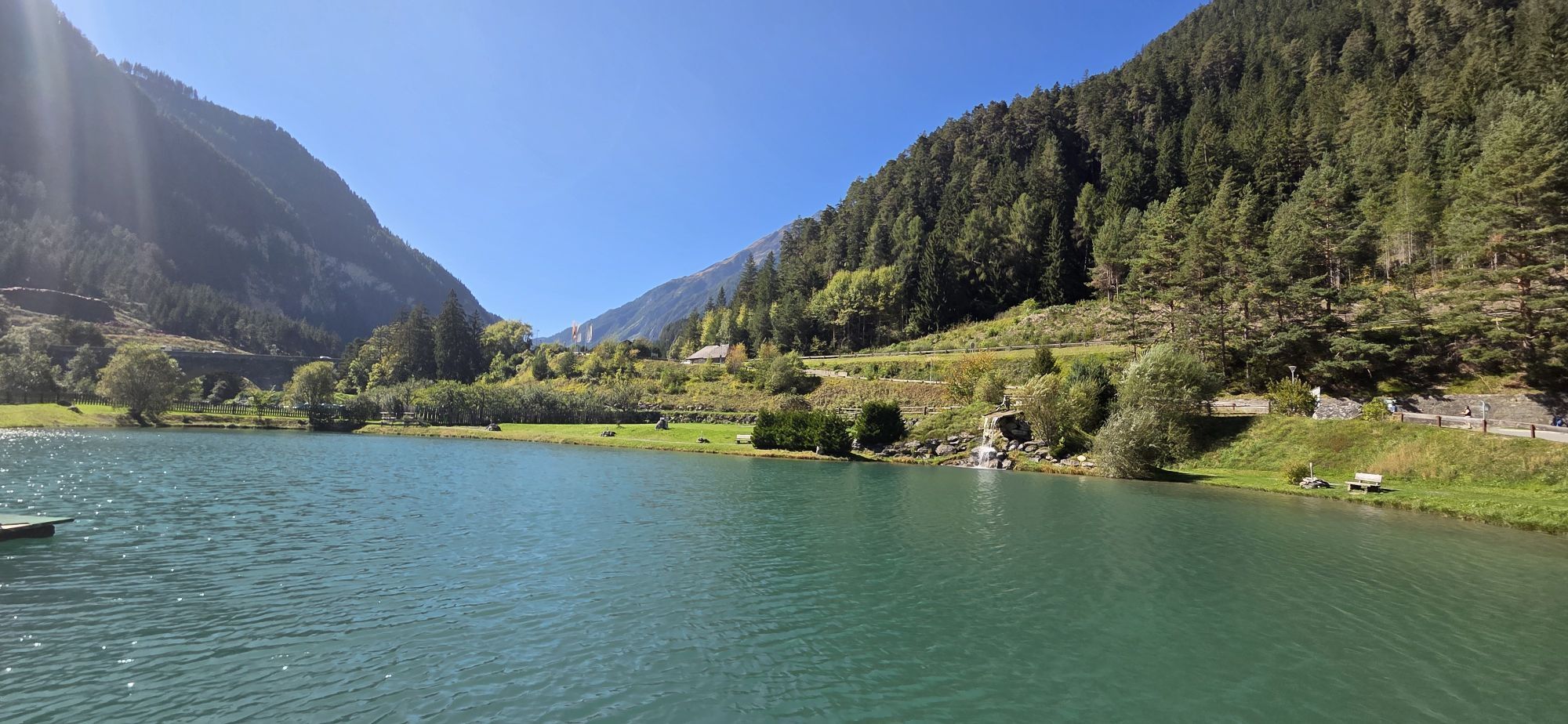
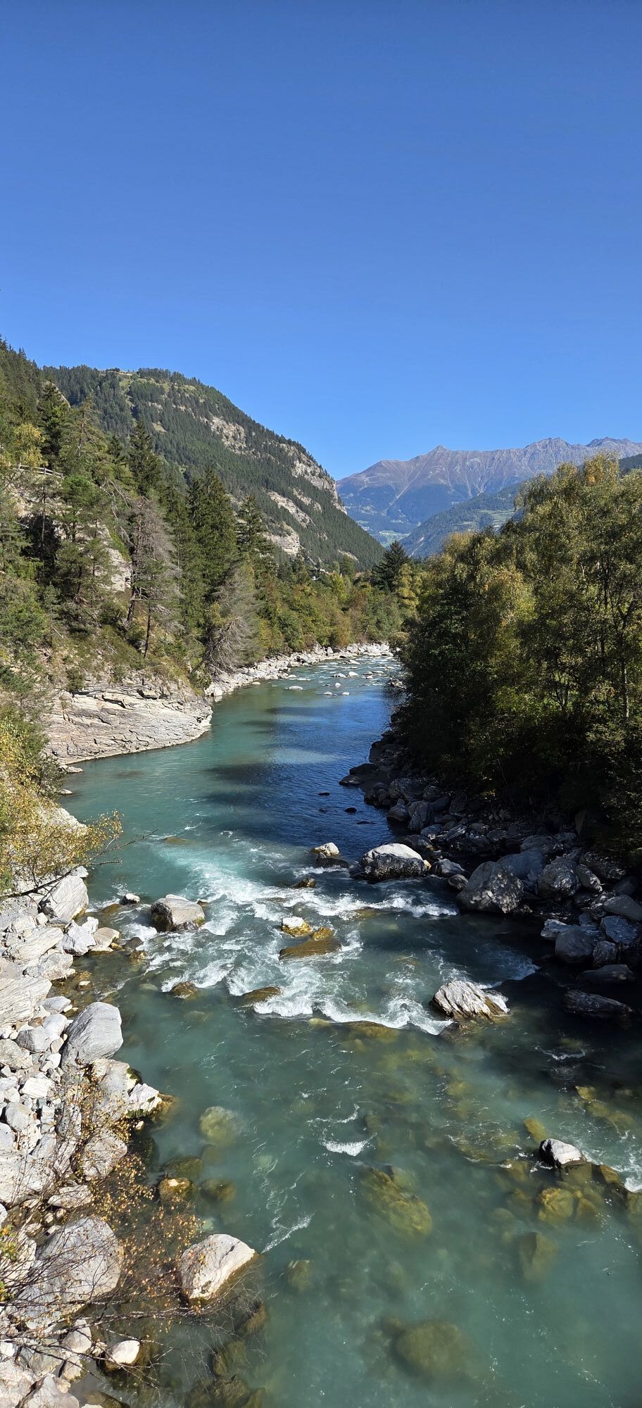
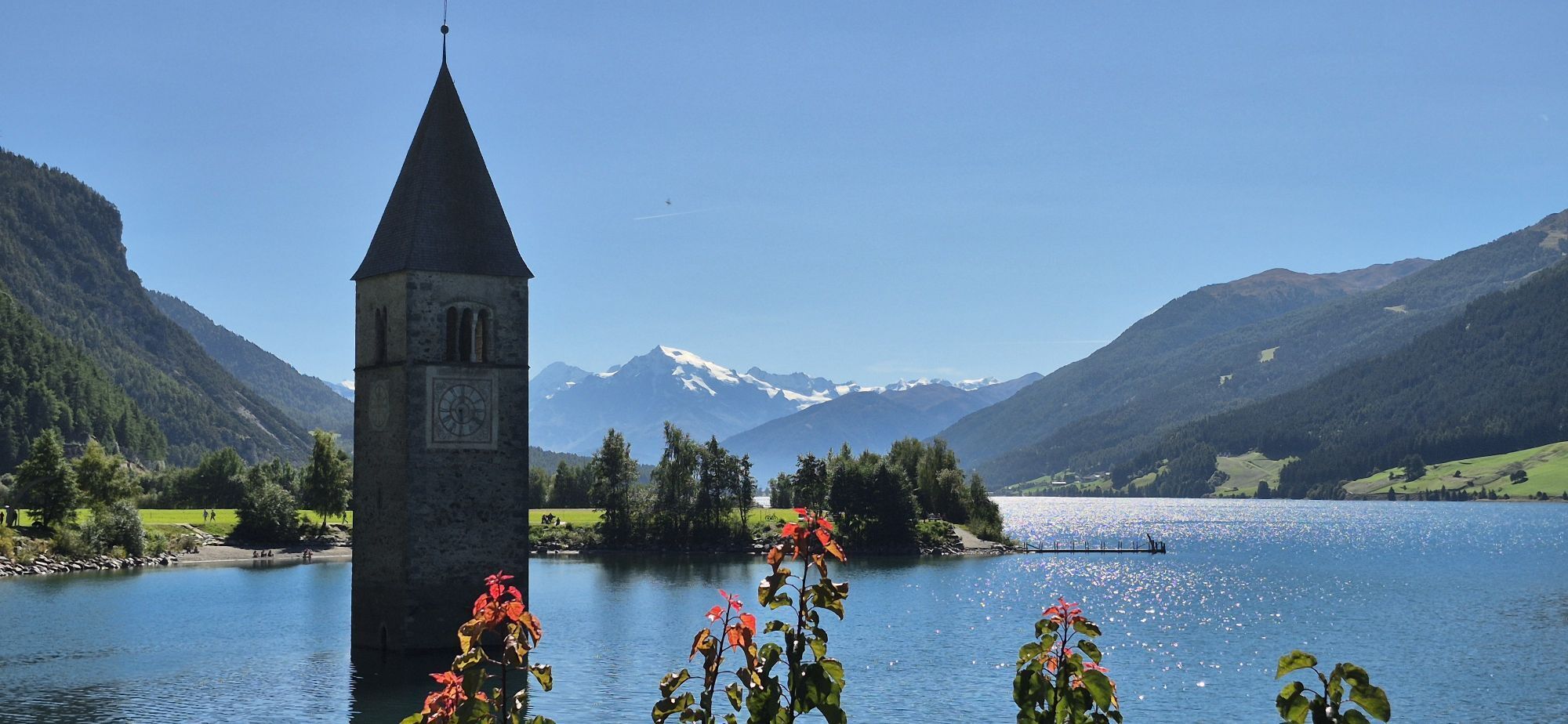
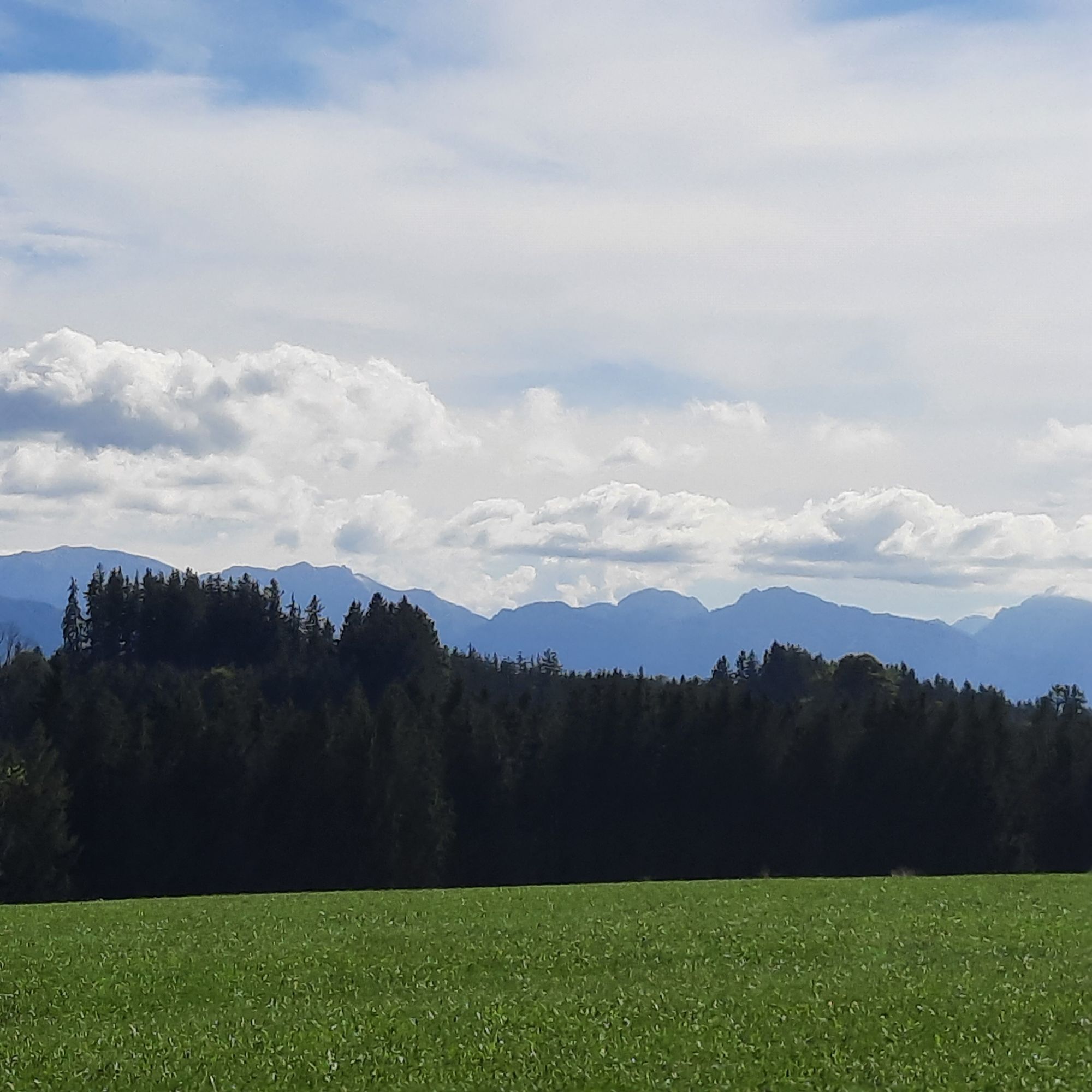
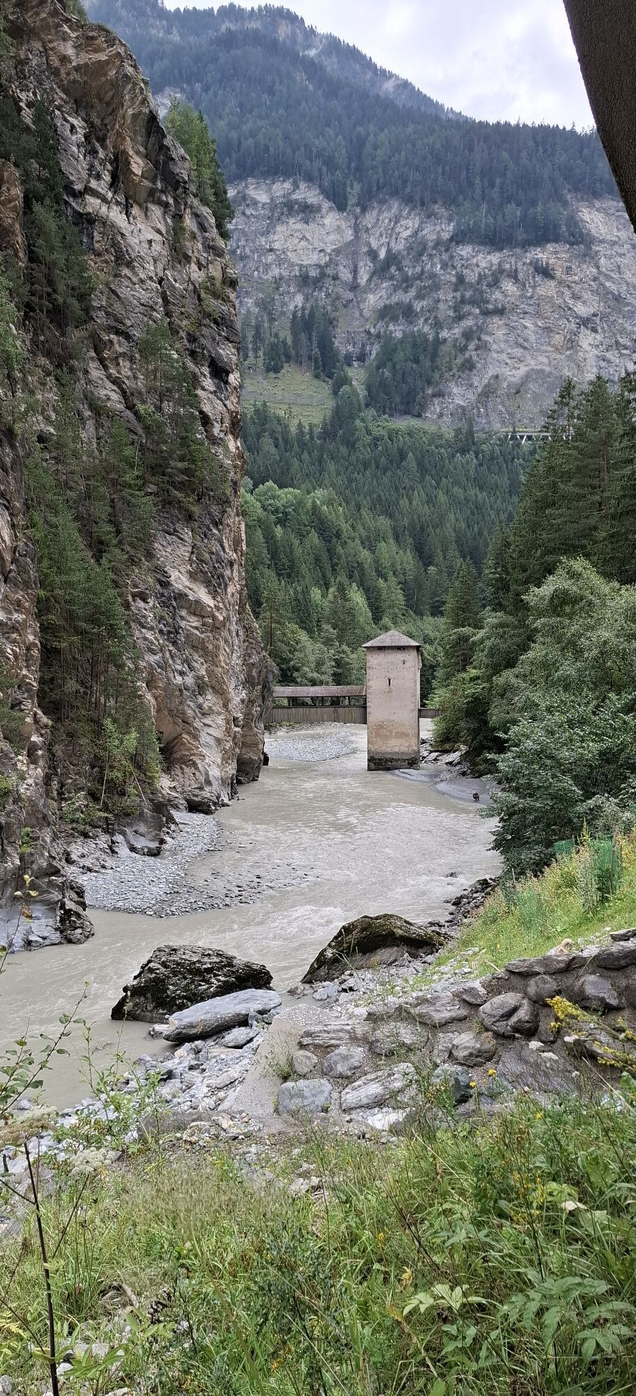
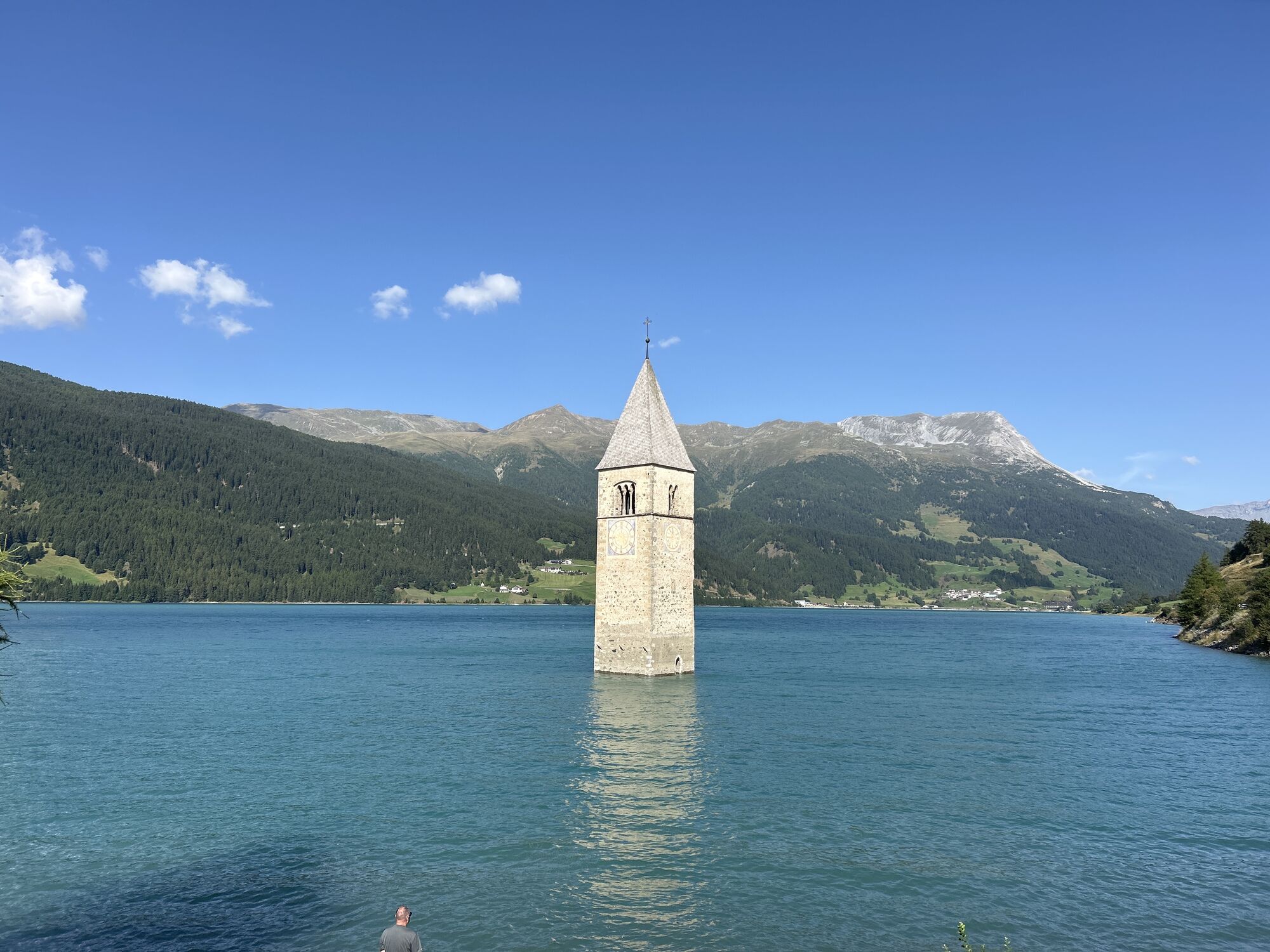
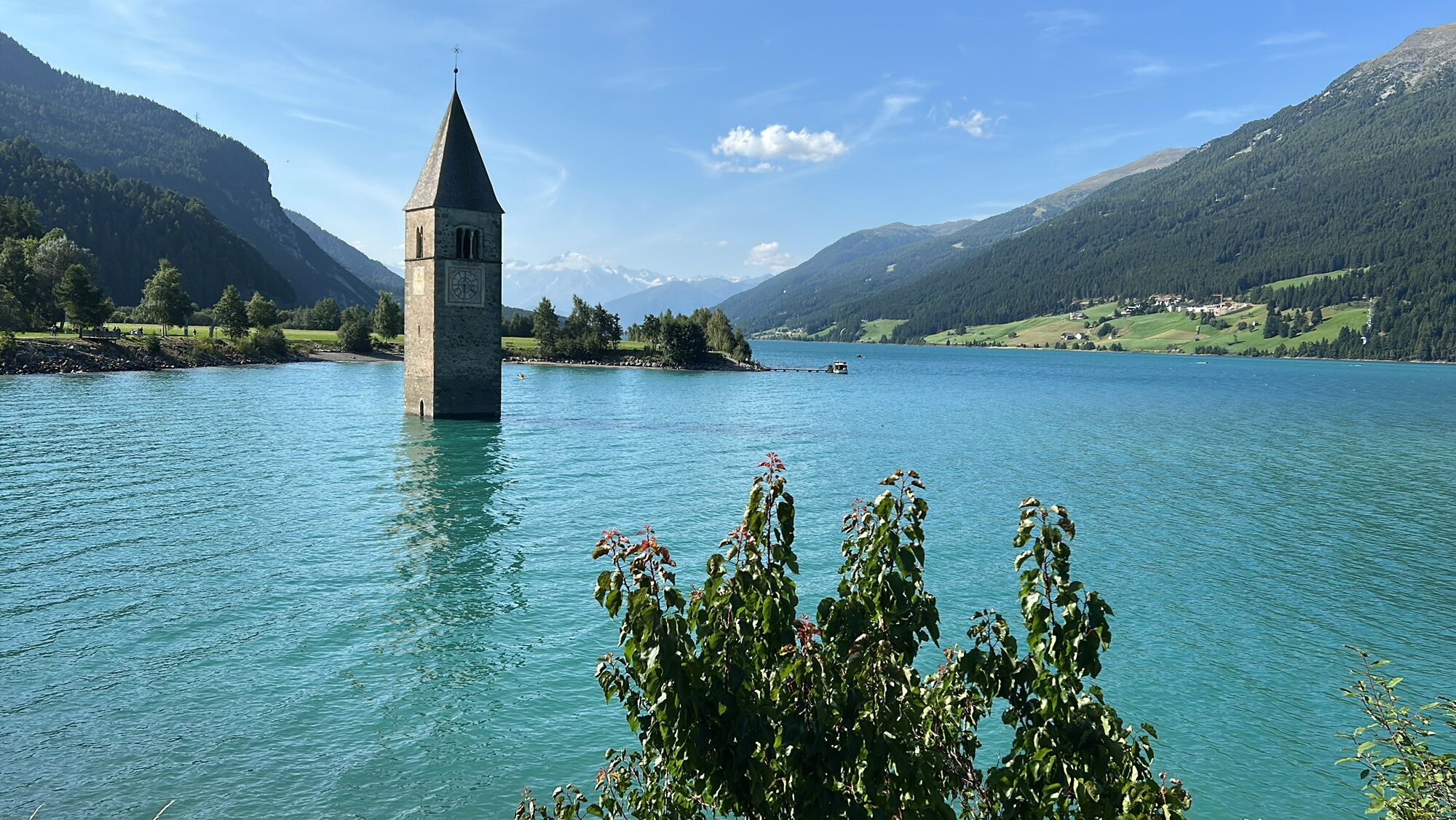
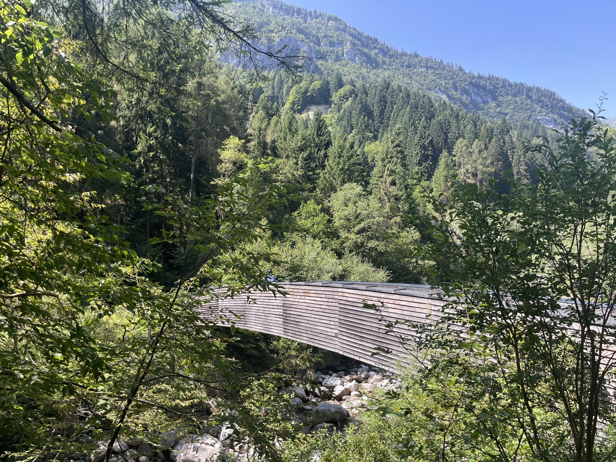
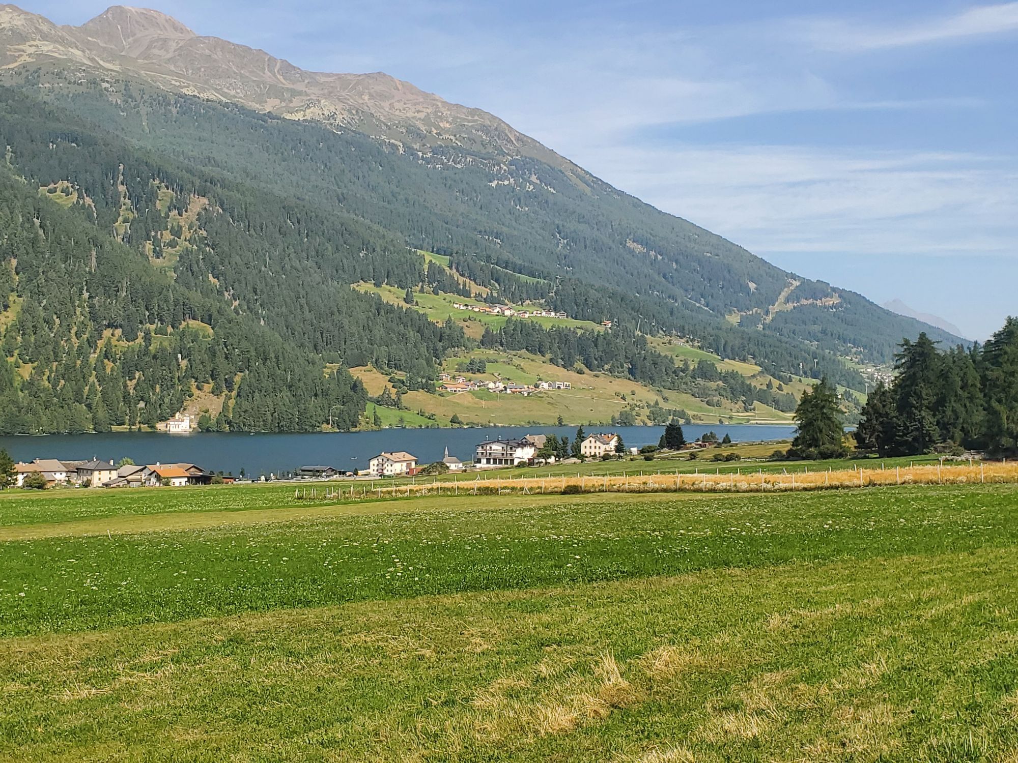
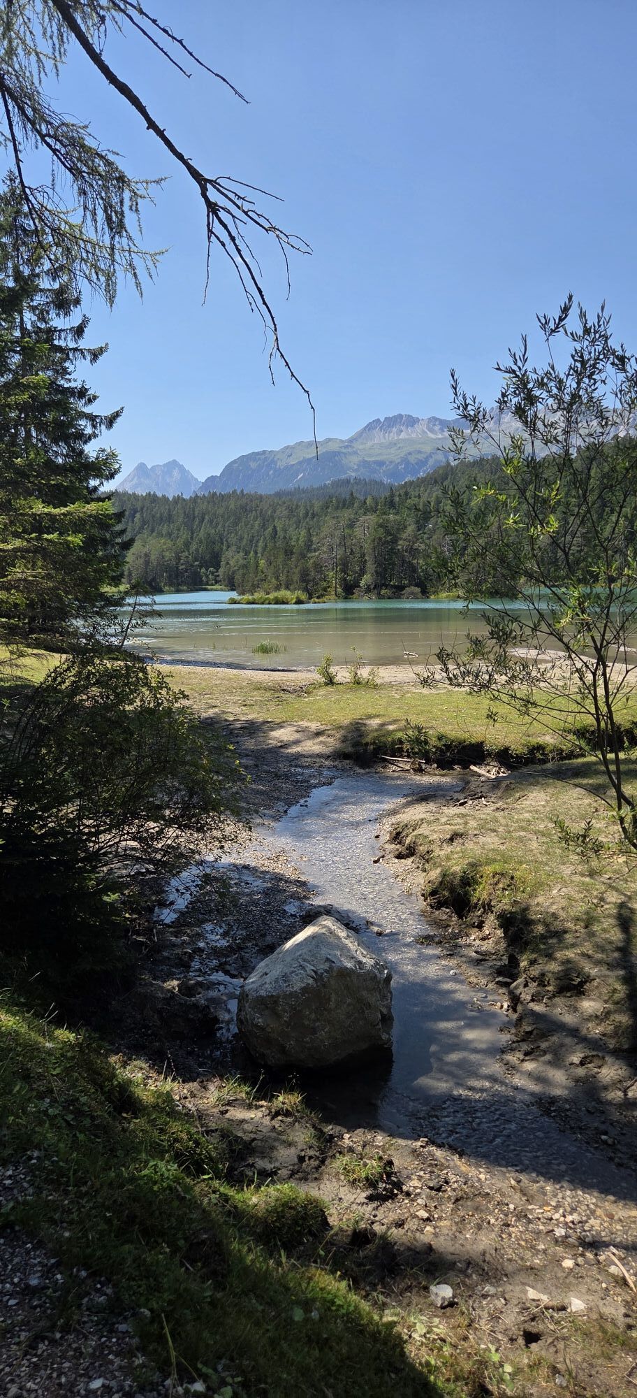
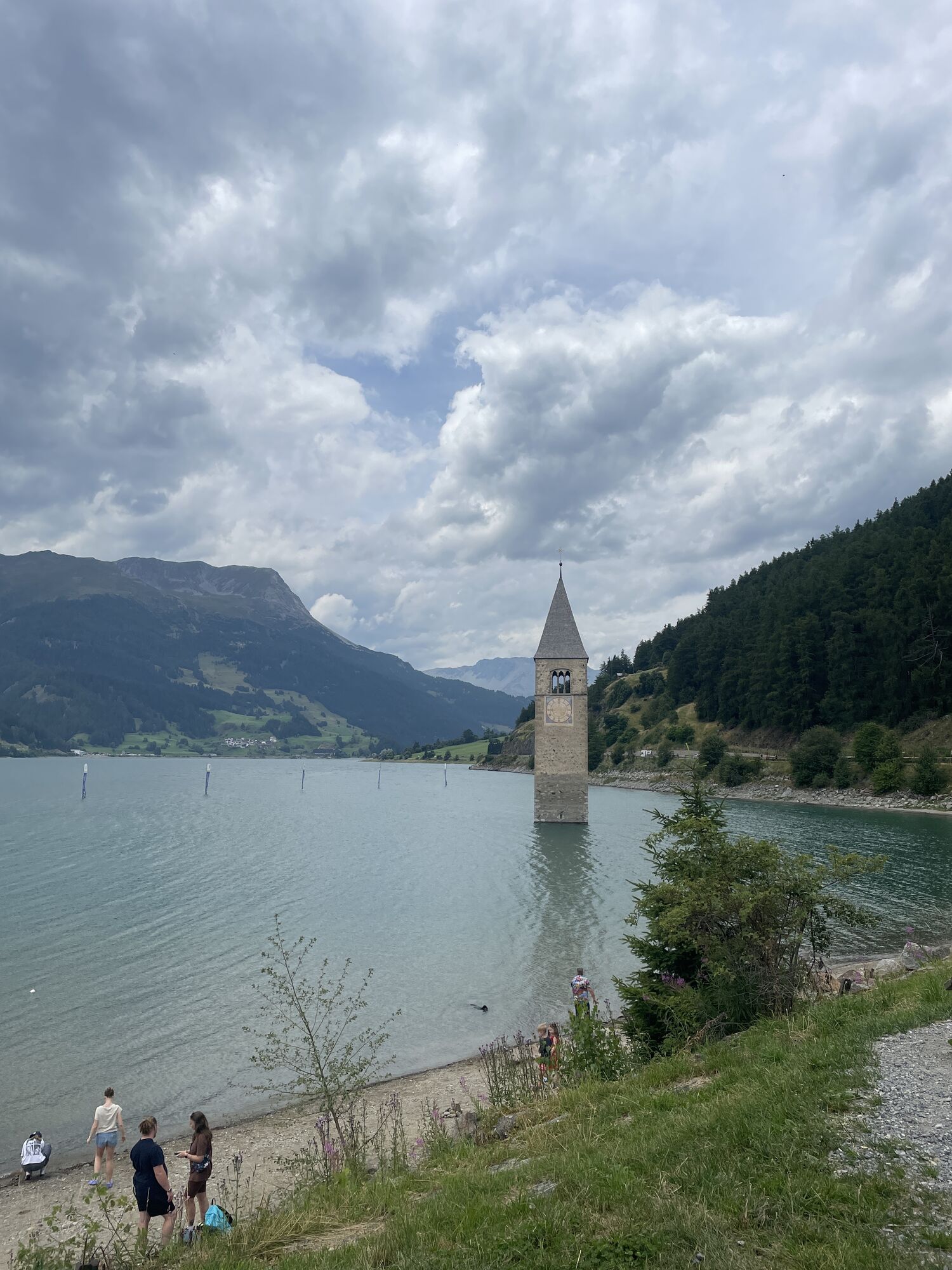
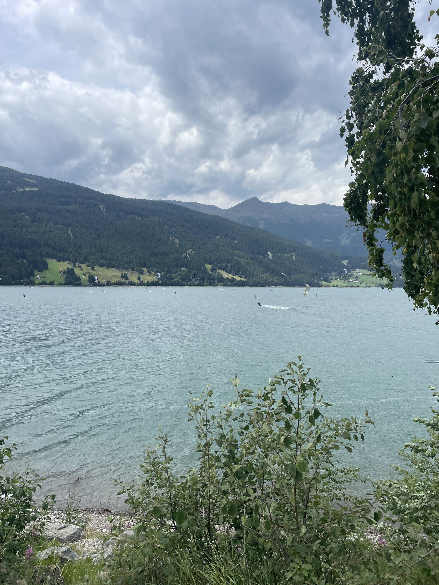
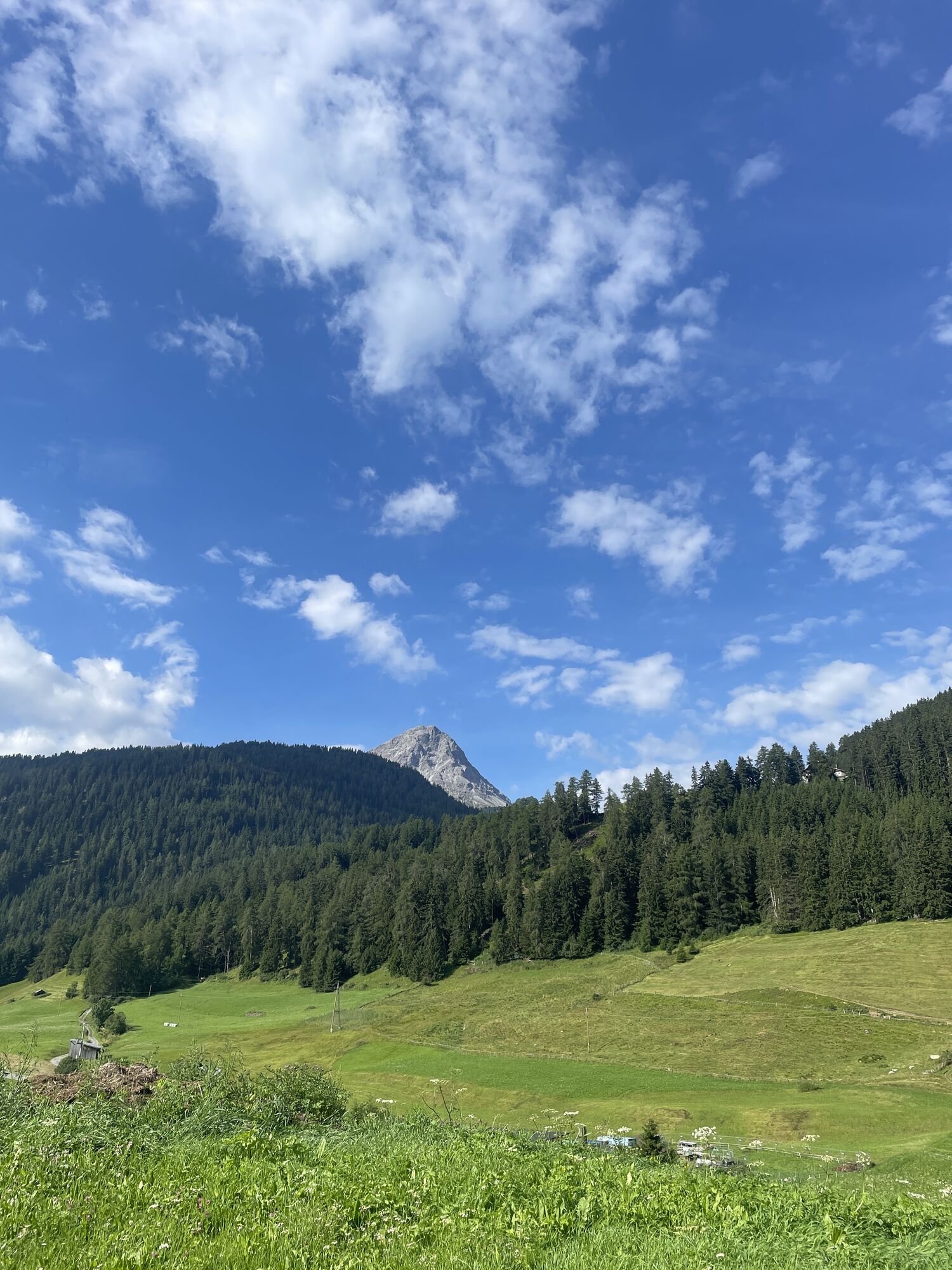
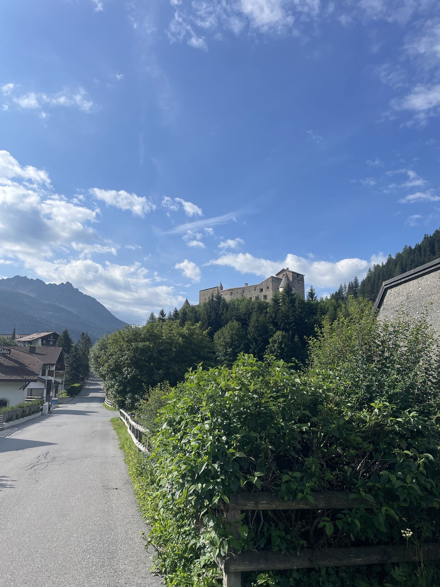
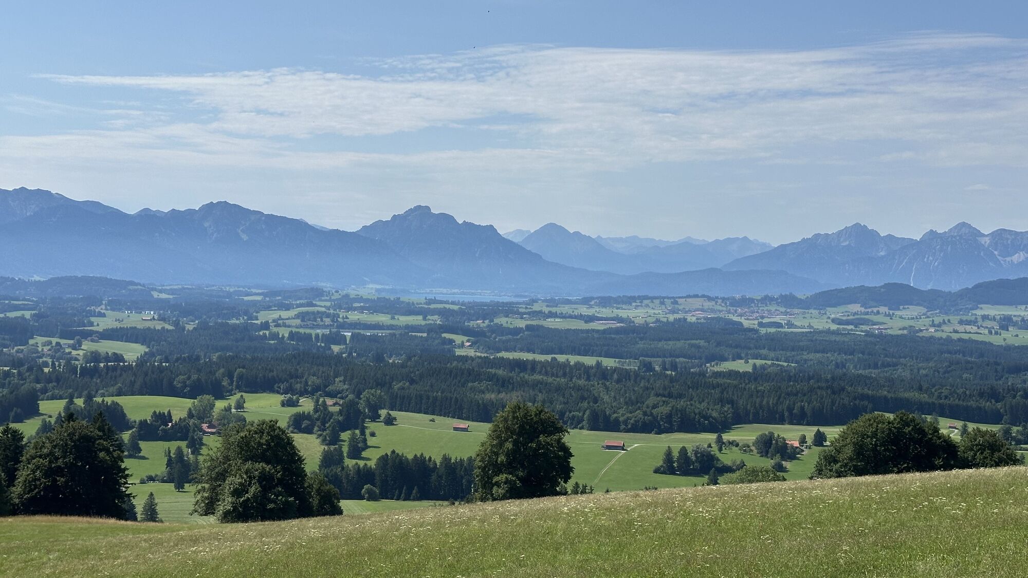
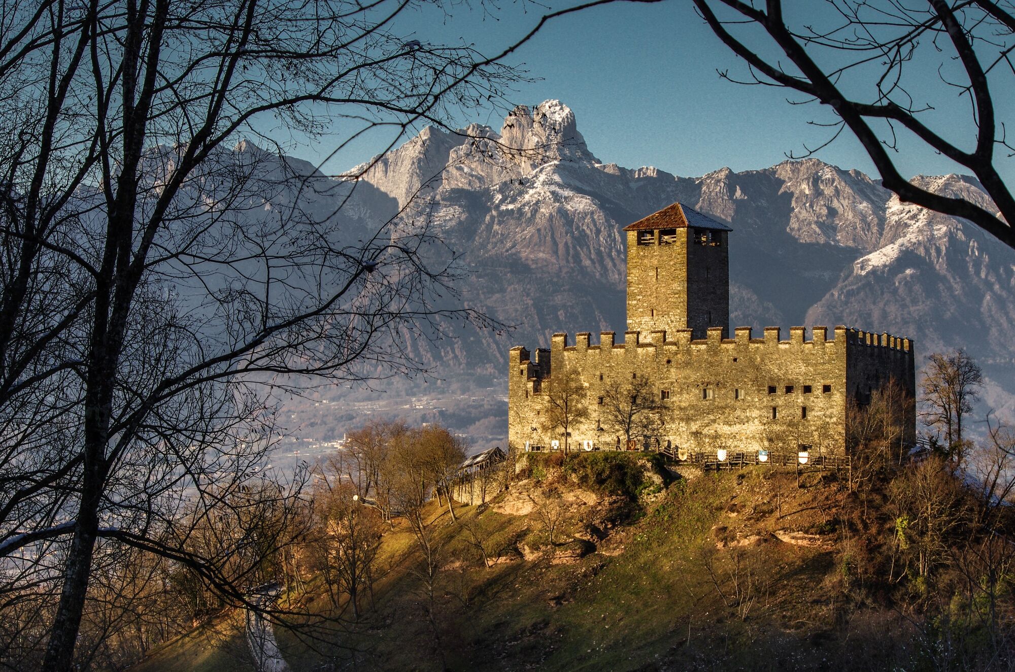
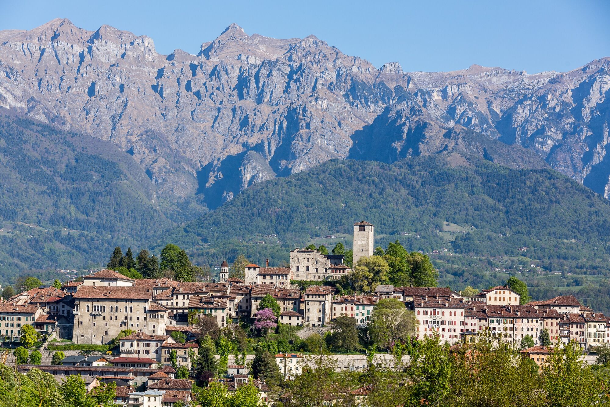
The route takes in extremely varied landscapes: from the Venetian plain to the Dolomites, from the valleys of South Tyrol to the Alpine passes, and on to Bavarian forests and lakes. Along the way, historic towns, Alpine villages, castles, rivers, and evidence of ancient Roman roads are encountered, making the route a true cultural as well as sporting journey.
The Via Claudia Augusta can be traveled in stages and is suitable for both bicycle touring and long-distance trekking. The variety of the territories crossed, combined with the rich history and landscape, makes it one of the most fascinating routes in Europe.

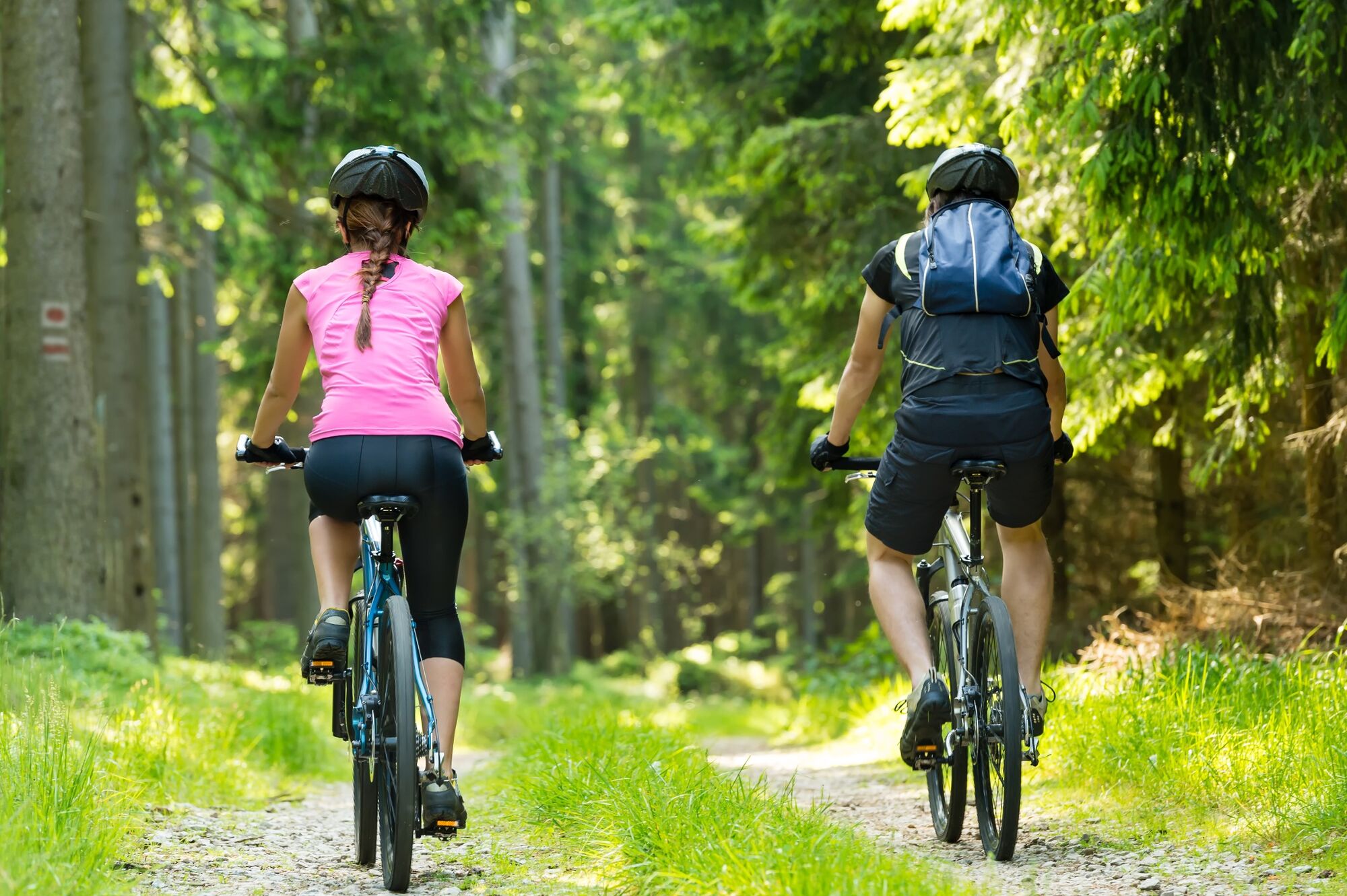
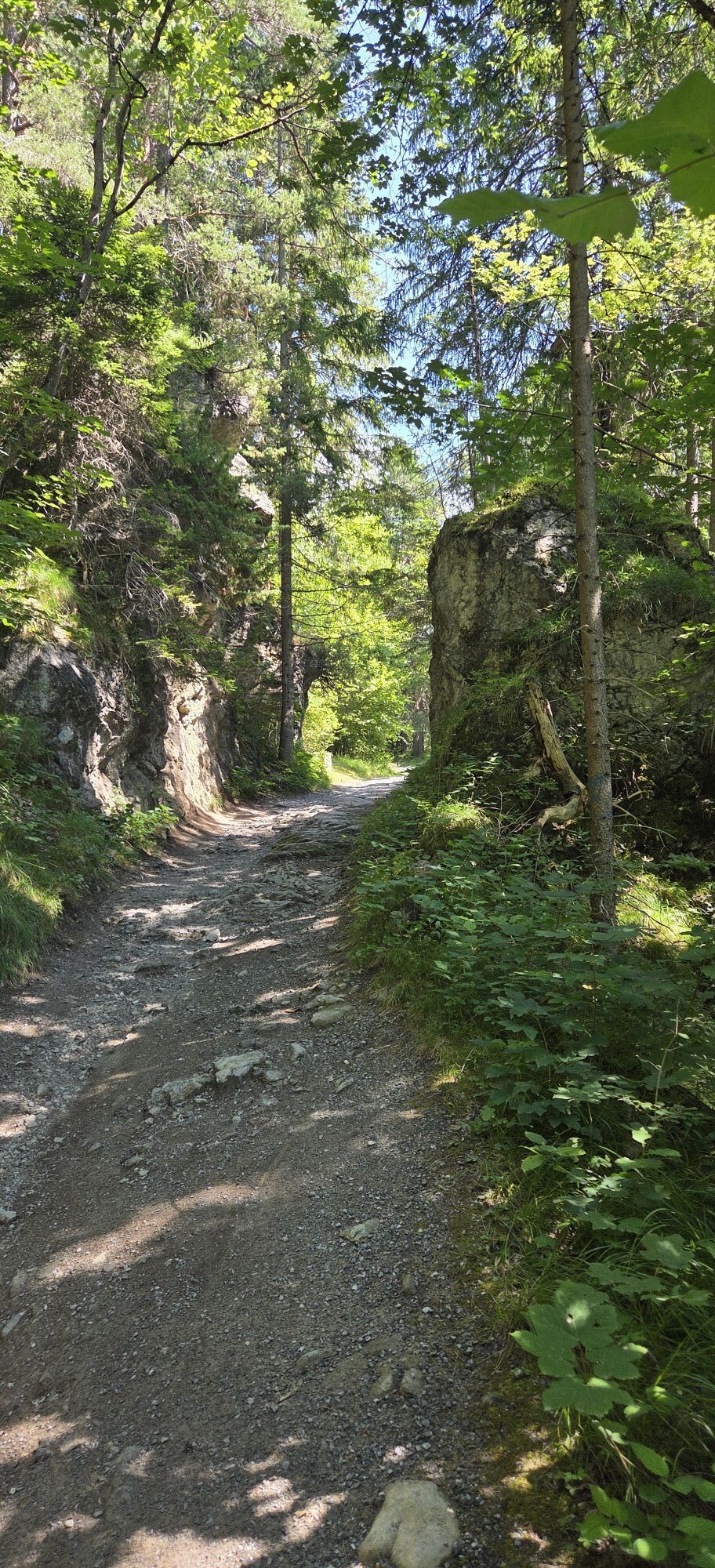
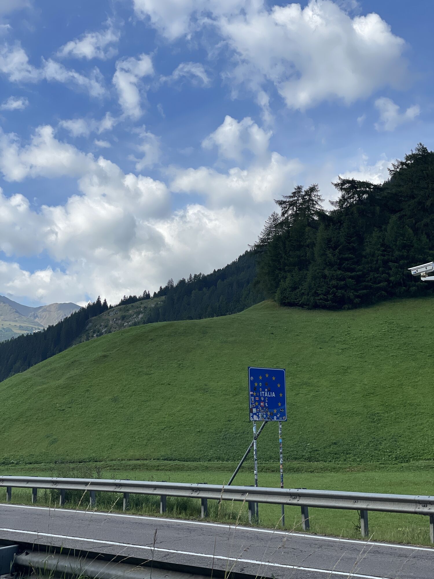
The route follows the ancient Roman axis of the Via Claudia Augusta from south to north. It climbs from the Venetian plain to the Dolomites and South Tyrol, then crosses the Alpine passes to Austria and Bavaria. The route is well signposted with dedicated "Via Claudia Augusta" markings and follows bike paths, secondary roads, and historic trails.
Áno
Bicycle touring bike, helmet, repair kit, layered clothing, rain jacket, water bottles, GPS or offline track, front and rear lights.
Long, multi-country itinerary: watch out for weather, different signage between regions and sections on vehicular traffic. Rapid weather changes possible in the mountains. Plan stages well.
Altino can be reached from the A4 Venice-Trieste highway with the Quarto d'Altino exit. From Venice about 30 minutes.
Train to Quarto d'Altino or Venice Mestre, then local bus or short cab transfer to Altino. Train stations along the entire route (Bolzano, Innsbruck, etc.) with international connections are used for return.
3
Don't miss the stretches between the Dolomites and South Tyrol-they are the most scenic. Worth a stop in the small Alpine villages and border passes.
Obľúbené výlety v okolí
-
4,7
Algund Waalweg canal trail
svetloTuristika 4,45 km -
4,3
Vorderkaser - Eishof / Texelgruppe
svetloTuristika 4,83 km -
4,5
Aschbach / Rio Lagundo – Naturnser Alm mountain pasture - Vigiljoch/San Vigilio
strednáTuristika 10,3 km -
4,9
Hirzer Almenrunde
svetloHorská turistika 9,02 km -
4,8
Naturns Unterstellbahn bis Texelbahn auf dem Meraner Höhenweg
strednáTuristika 9,77 km -
4,5
Leiter Alm mountain hut – Hochganghaus refuge - Gamplweg trail – Velloi
strednáTuristika 9,77 km -
4,7
Leiteralm - Hochmuth - Vellau - Rundweg
svetloTuristika 5,89 km -
4,6
Meran Tappeinerweg
svetloTuristika 6,77 km -
4,6
Passerschlucht
svetloTuristika 8,84 km -
5,0
From Algund/Lagundo to the Schlundenstein rock and Plars Waalweg canal trail to Parcines
svetloTuristika 10,7 km

Turistika a stopovanie


Nenechajte si ujsť ponuky a inšpiráciu na ďalšiu dovolenku
Vaša e-mailová adresa bol pridaný do poštového zoznamu.