


Wadl Warrior
Fotografie našich používateľov
-
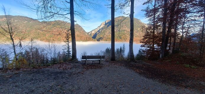
 © Matej Mikus 1Vytvorené dňa 31.10.2025
 -

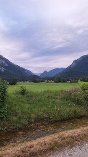
 © I Breitler60Vytvorené dňa 27.08.2025
 -

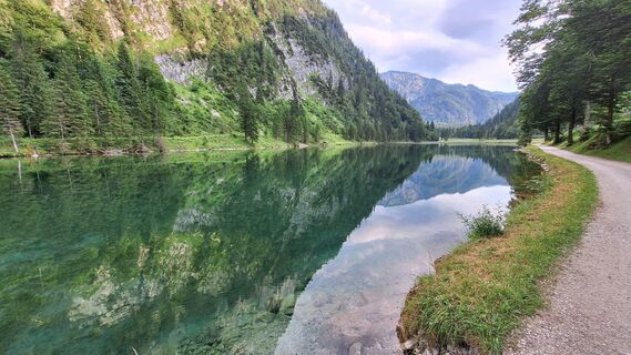
 © Boris AchbergerVytvorené dňa 06.08.2025
 -
 © Matej Mikus 1Vytvorené dňa 06.07.2025
 -
 © Matej Mikus 1Vytvorené dňa 05.07.2025
 -
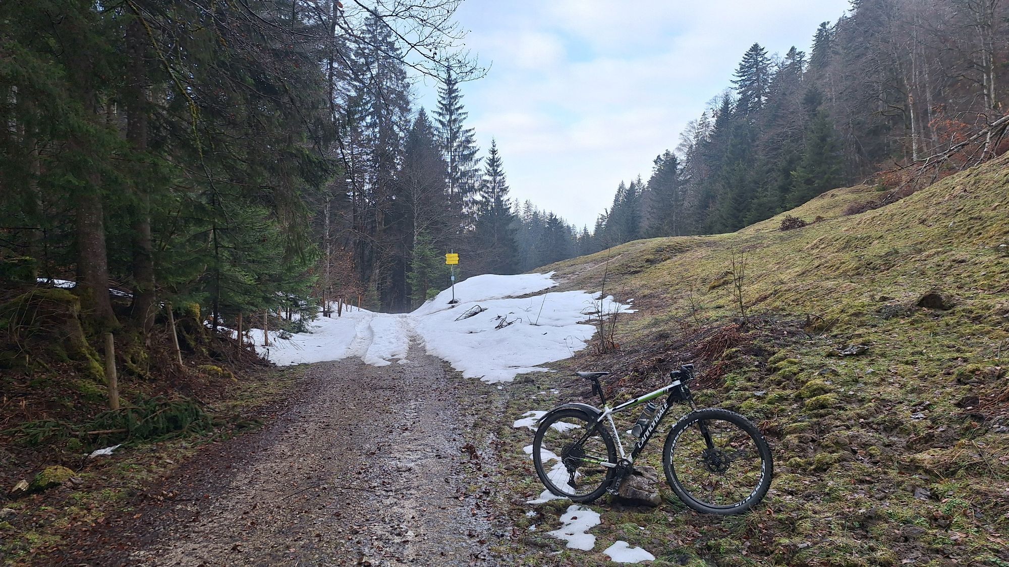
 © Dennis BuchmeierVytvorené dňa 20.04.2025
 -
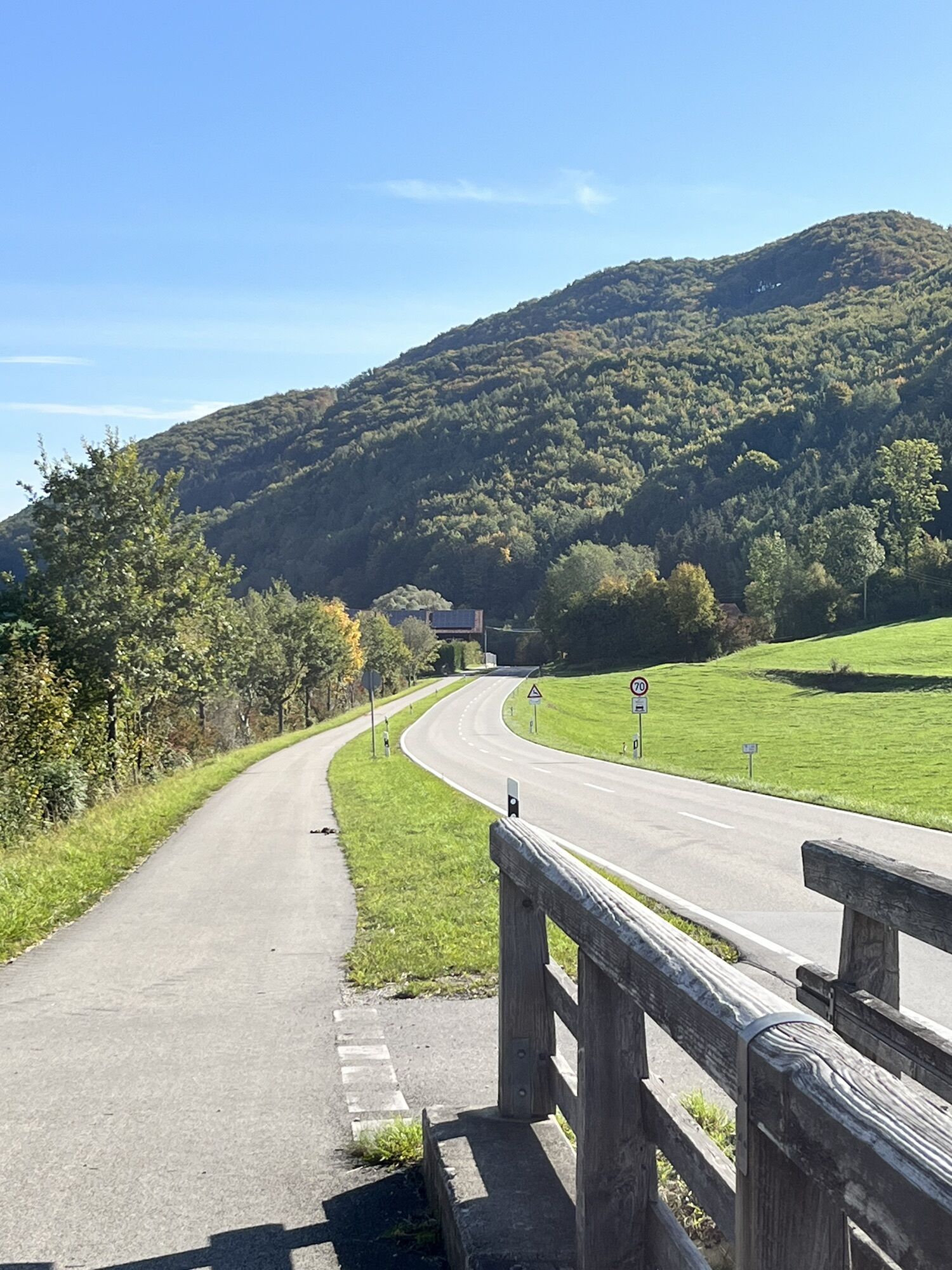
 © Dennis BuchmeierVytvorené dňa 20.04.2025
 -
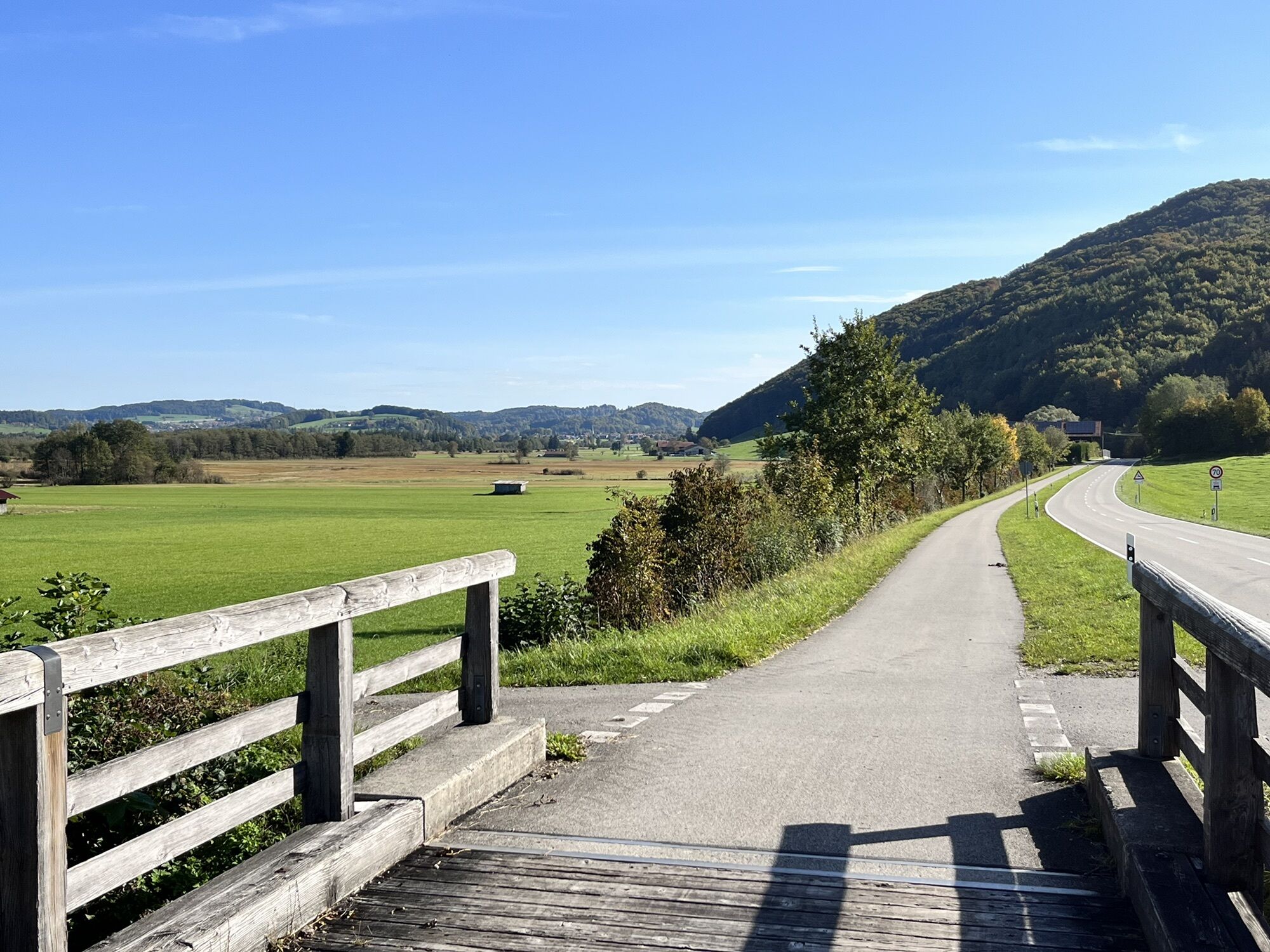
 © Dennis BuchmeierVytvorené dňa 20.04.2025
 -
 © Dennis BuchmeierVytvorené dňa 20.04.2025
 -
 © Dennis BuchmeierVytvorené dňa 20.04.2025
 -
 © Dennis BuchmeierVytvorené dňa 20.04.2025
 -
 © Matej Mikus 1Vytvorené dňa 15.04.2025
 -
 © Matej Mikus 1Vytvorené dňa 26.03.2025
 -
 © Hans KlamerVytvorené dňa 15.10.2024
 -
 © Andreas Geyer 1Vytvorené dňa 06.10.2022
 -
 © Andreas Geyer 1Vytvorené dňa 06.10.2022
 -
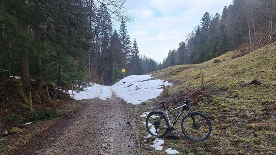
 © LotharVytvorené dňa 13.05.2026
 -
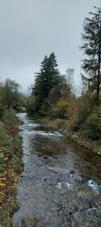
 © LotharVytvorené dňa 13.05.2026
 -
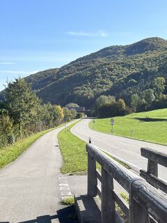
 © LotharVytvorené dňa 13.05.2026
 -
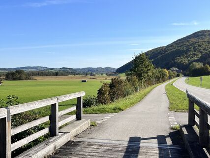
 © LotharVytvorené dňa 13.05.2026
 -
 © LotharVytvorené dňa 11.05.2026
 -
 © tmochelVytvorené dňa 17.04.2026
 -
 © Ralf HubrichVytvorené dňa 06.04.2026
 -
 © Ralf HubrichVytvorené dňa 06.04.2026
 -
 © Ralf HubrichVytvorené dňa 06.04.2026
 -

 © Moonlight13Vytvorené dňa 22.03.2026
 -
 © Moonlight13Vytvorené dňa 22.03.2026
 -
 © Moonlight13Vytvorené dňa 22.03.2026
 -
 © Moonlight13Vytvorené dňa 22.03.2026
 -
 © Moonlight13Vytvorené dňa 22.03.2026
 -
 © Moonlight13Vytvorené dňa 22.03.2026
 -
 © Silke S.Vytvorené dňa 25.12.2025
 -
 © Marco WeißVytvorené dňa 18.09.2025
 -
 © FelixVytvorené dňa 11.06.2025
 -
 © DerschowiederVytvorené dňa 21.11.2021


Inzell – Ruhpolding – Reit im Winkl – Unterwössen – Marquartstein – Staudach-Egerndach – Bergen – Siegsdorf – Hammer – Inzell
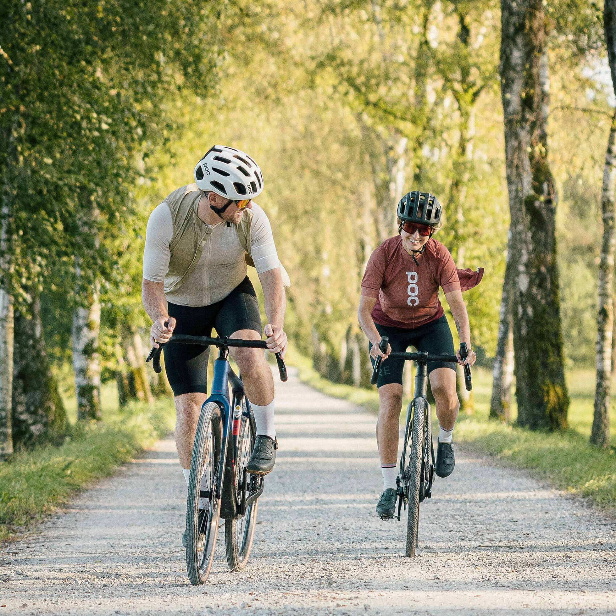
Wadl Warrior means: long route, many meters of elevation, legs constantly under...
Inzell – Ruhpolding – Reit im Winkl – Unterwössen – Marquartstein – Staudach-Egerndach – Bergen – Siegsdorf – Hammer – Inzell
Wadl Warrior means: long route, many meters of elevation, legs constantly under tension. The start is at the tourist information in Inzell.
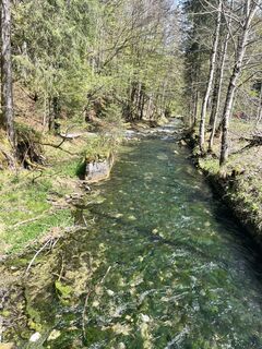
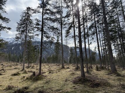
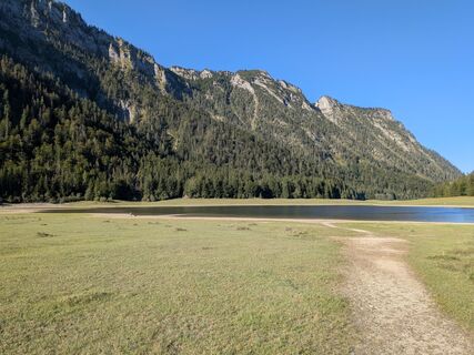
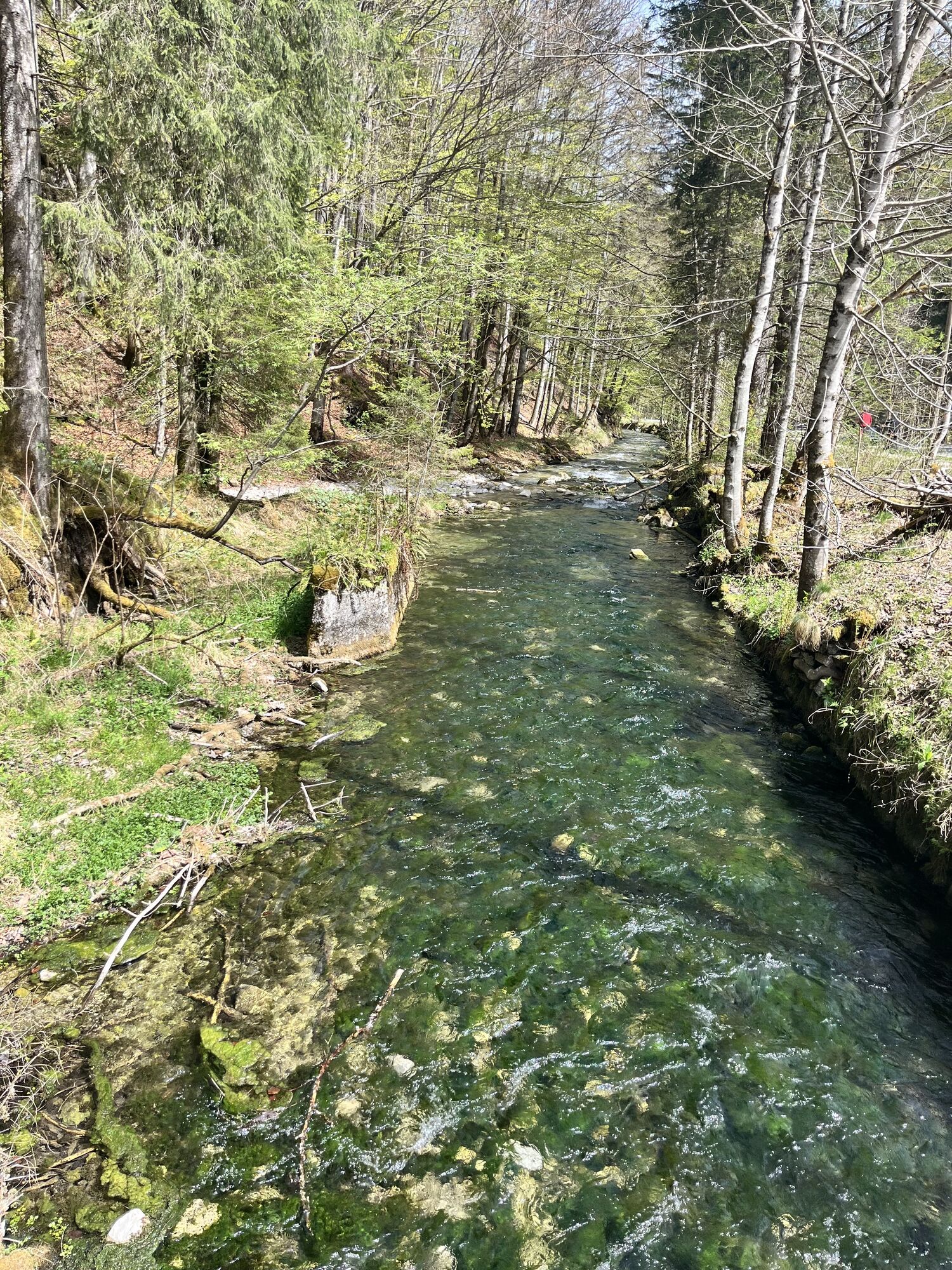
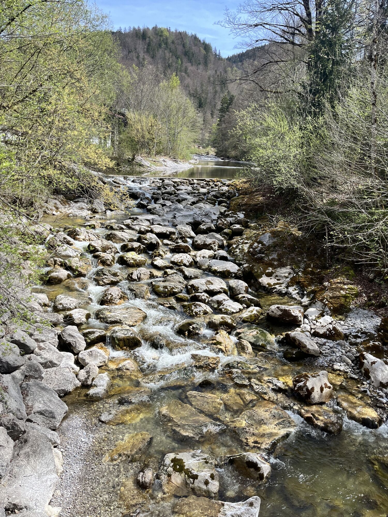
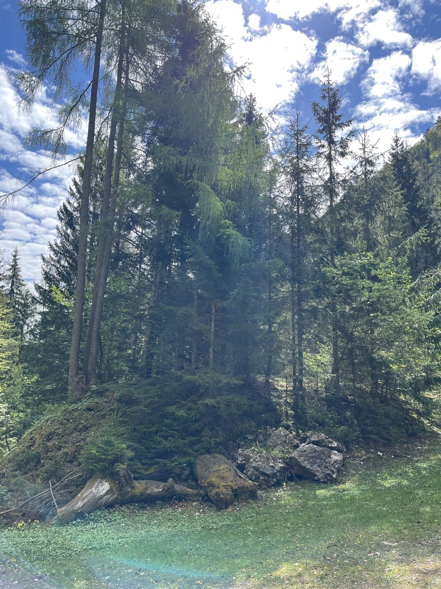
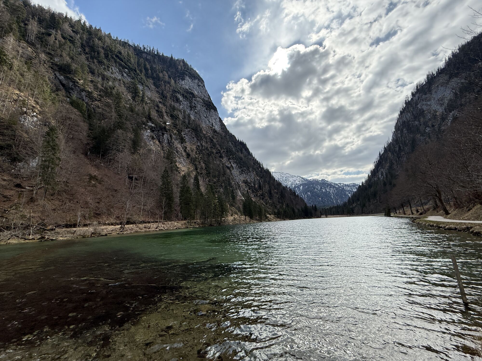
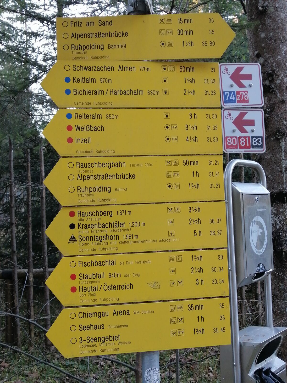
It still starts relaxed. From Inzell towards Ruhpolding, the route first rolls alongside the Windbach through the forest. Shady, quiet, firm ground – a better way to start a long route is hard to imagine.
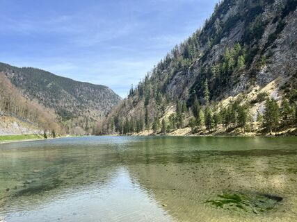
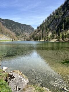
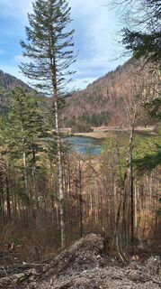
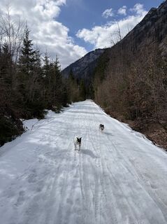
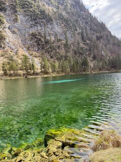
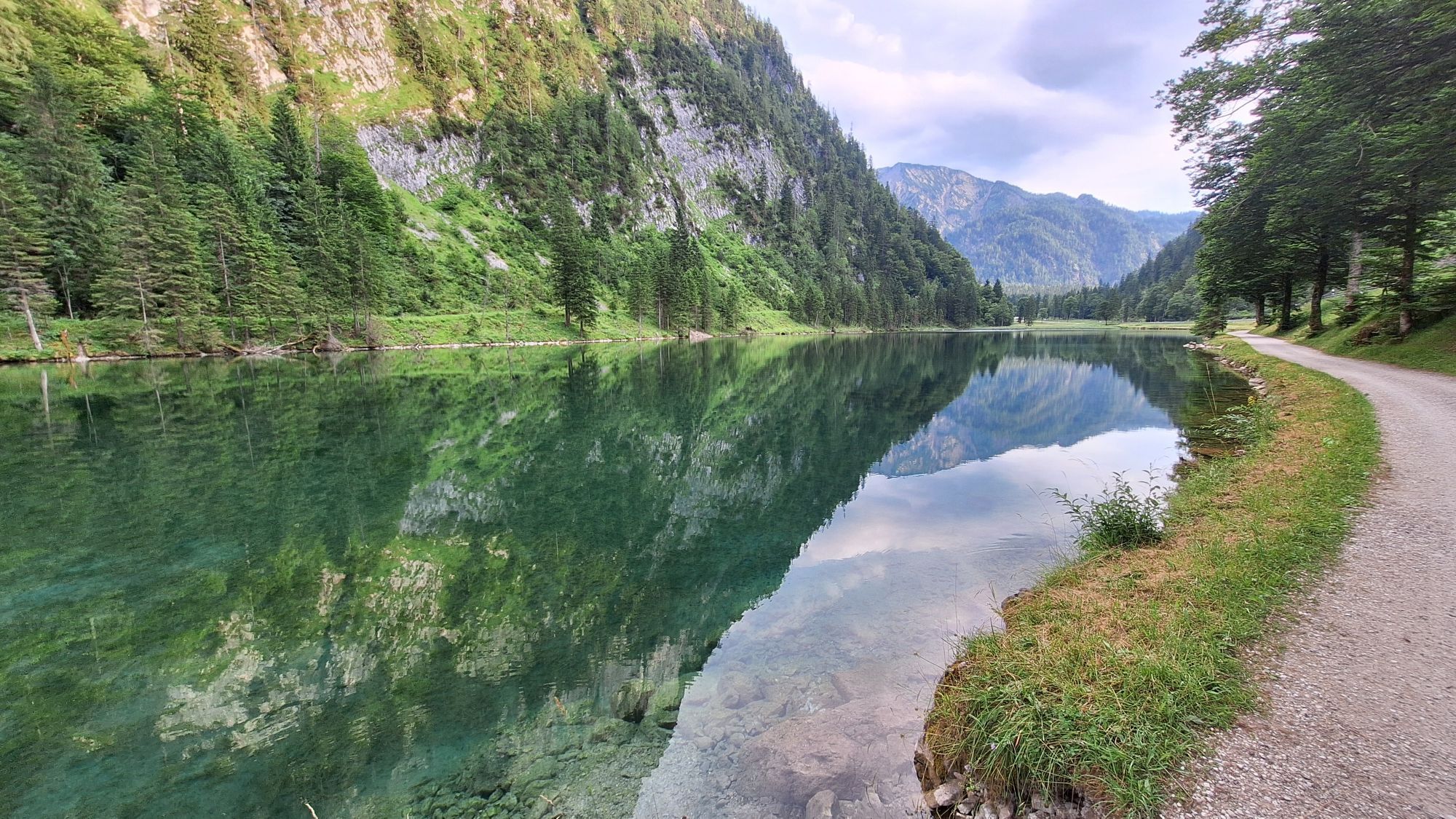
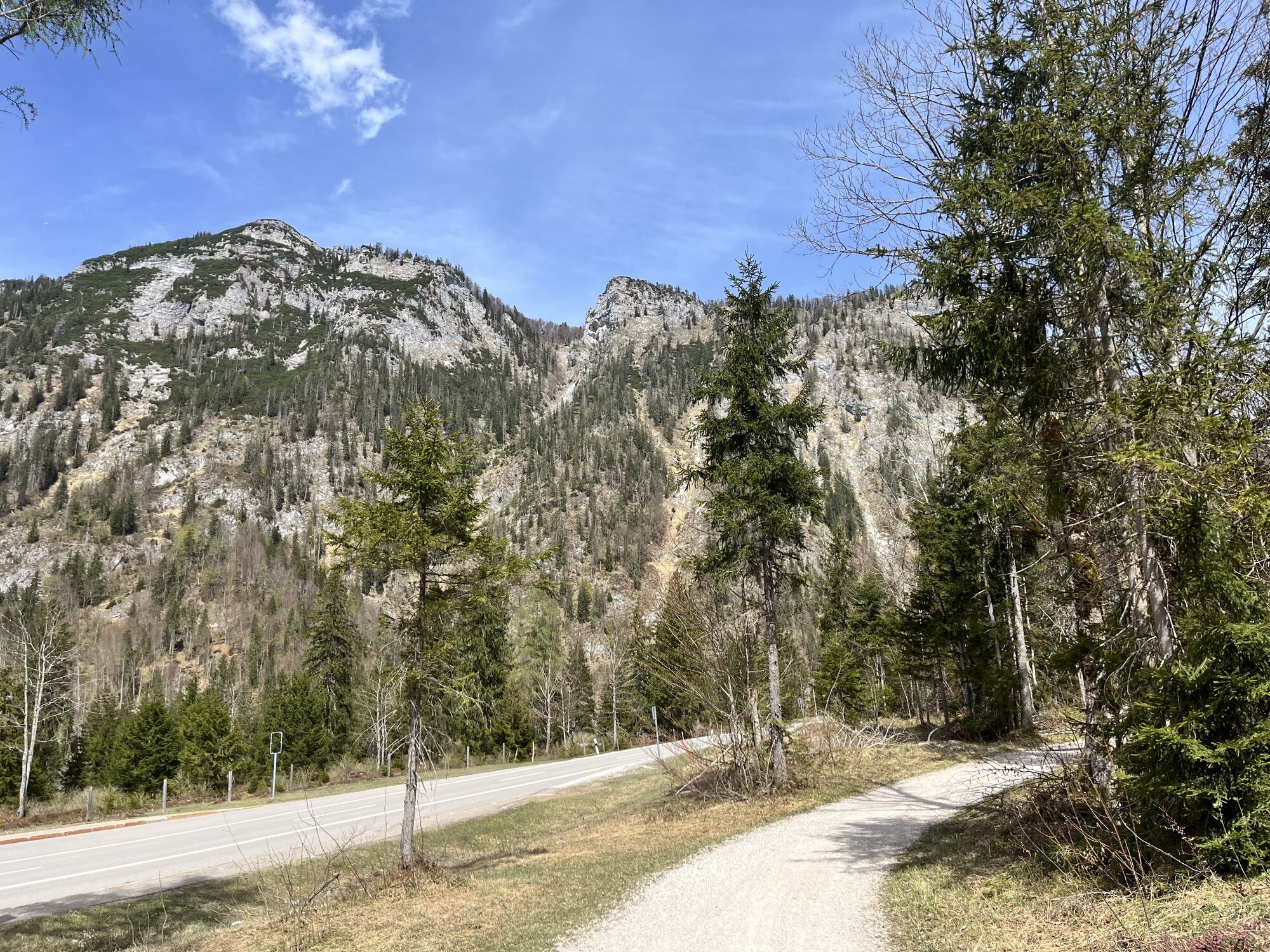
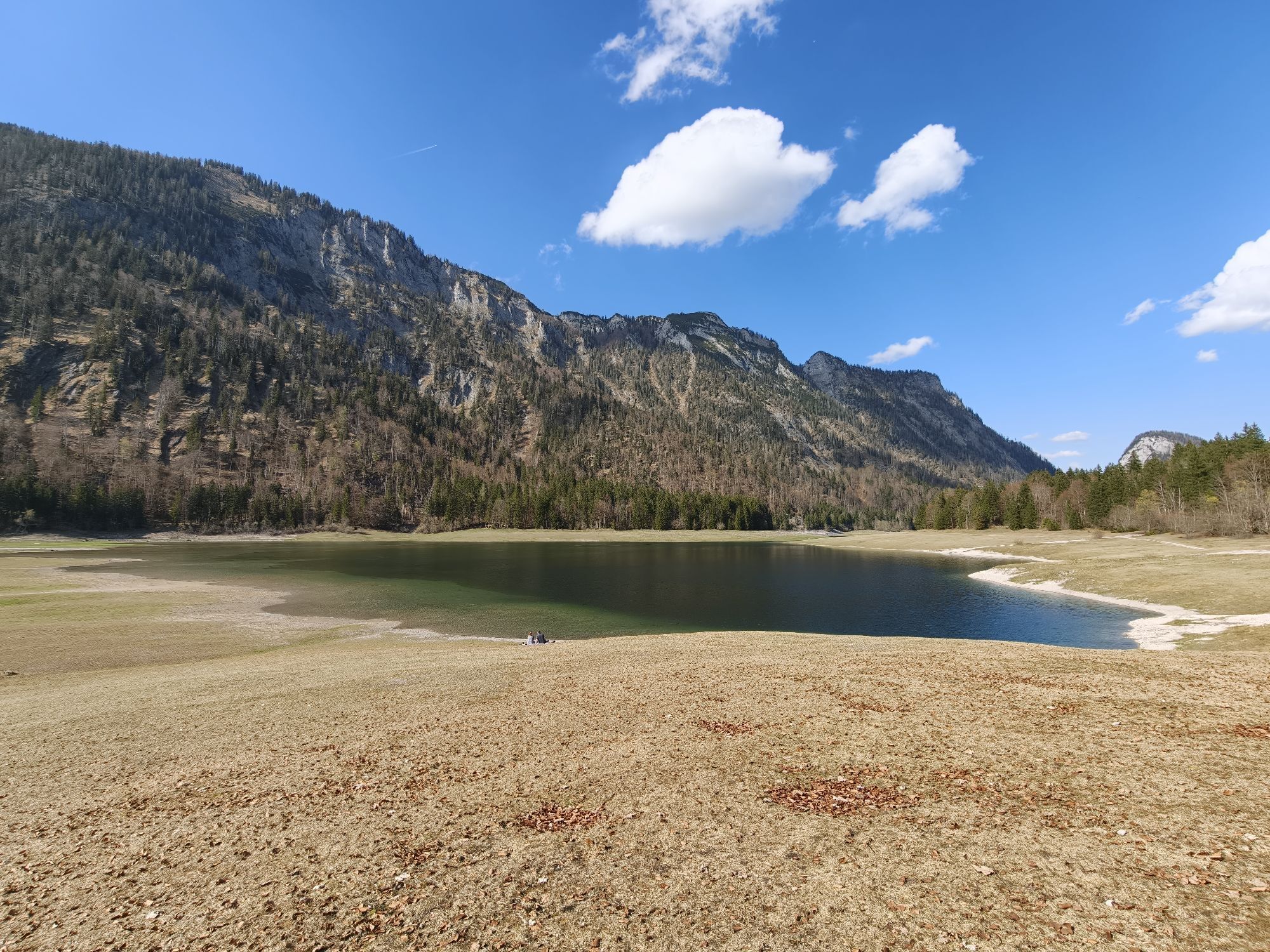
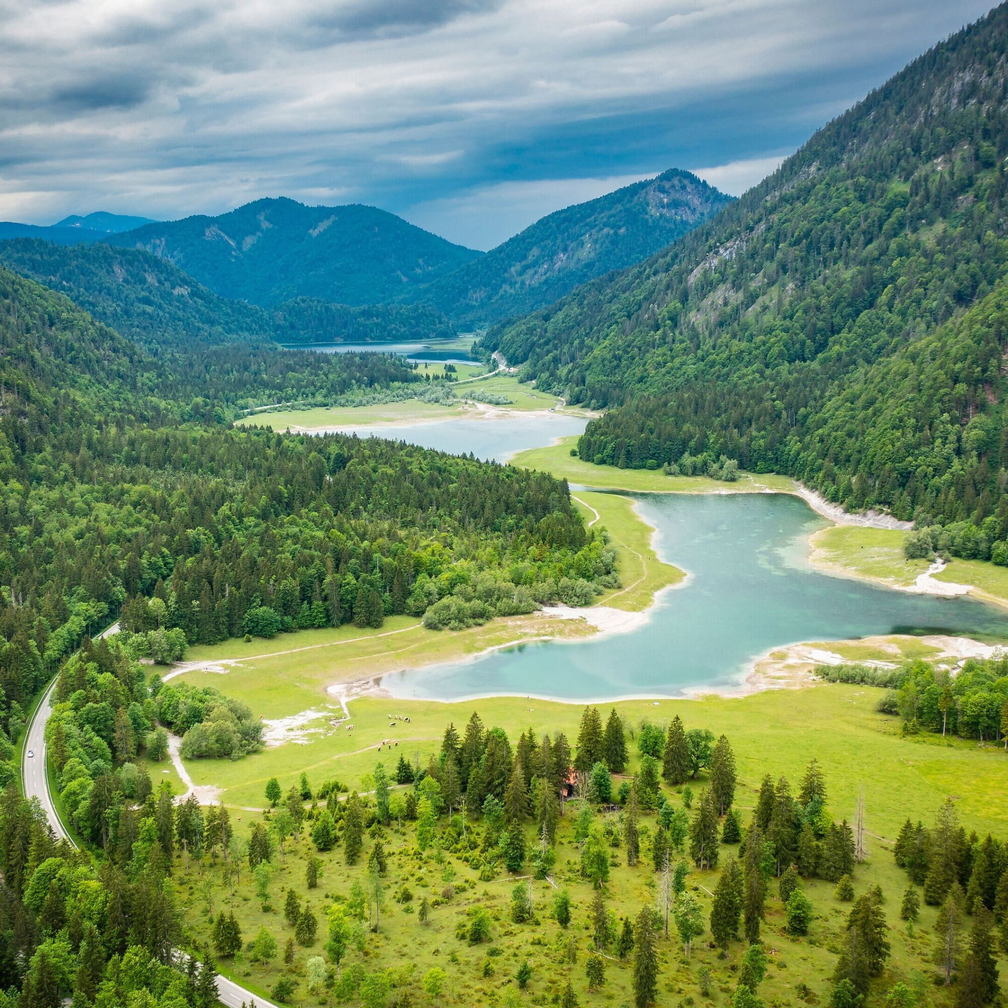
In Ruhpolding, the route stays by the Weiße Traun, the Chiemgau Arena rushes by, and it slowly becomes clear: now it gets alpine. Towards Reit im Winkl, the route runs really well – side streets, gravel, mountains left and right. No stress, just let it roll. A short stop here is worth it: swimsuits in the backpack pay off, the three-lake area invites for a cool down. After that, it continues via Seegatterl to Reit im Winkl. Wide path, good surface – here you can sometimes really pick up speed, of course with consideration for pedestrians.
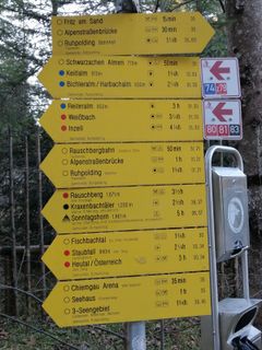
Reit im Winkl is more than just a passage town. The GenussOrt (pleasure spot) entices with around 50 restaurants, cafés, and staffed huts offering alpine, regional cuisine. A break is worthwhile, because what comes next demands full attention again.
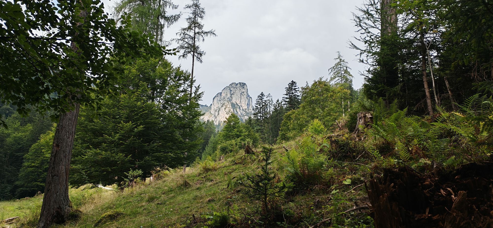
The climb to Hutzenalm is the heart of the route. Almost two kilometers, 300 meters of elevation uphill, fully rideable but continuously challenging. Partly steep ramps, first asphalt, then a short stretch of gravel. No technical gimmicks, no walking – just stay seated and pedal. The calves will definitely let you know. That’s exactly why you’re here.
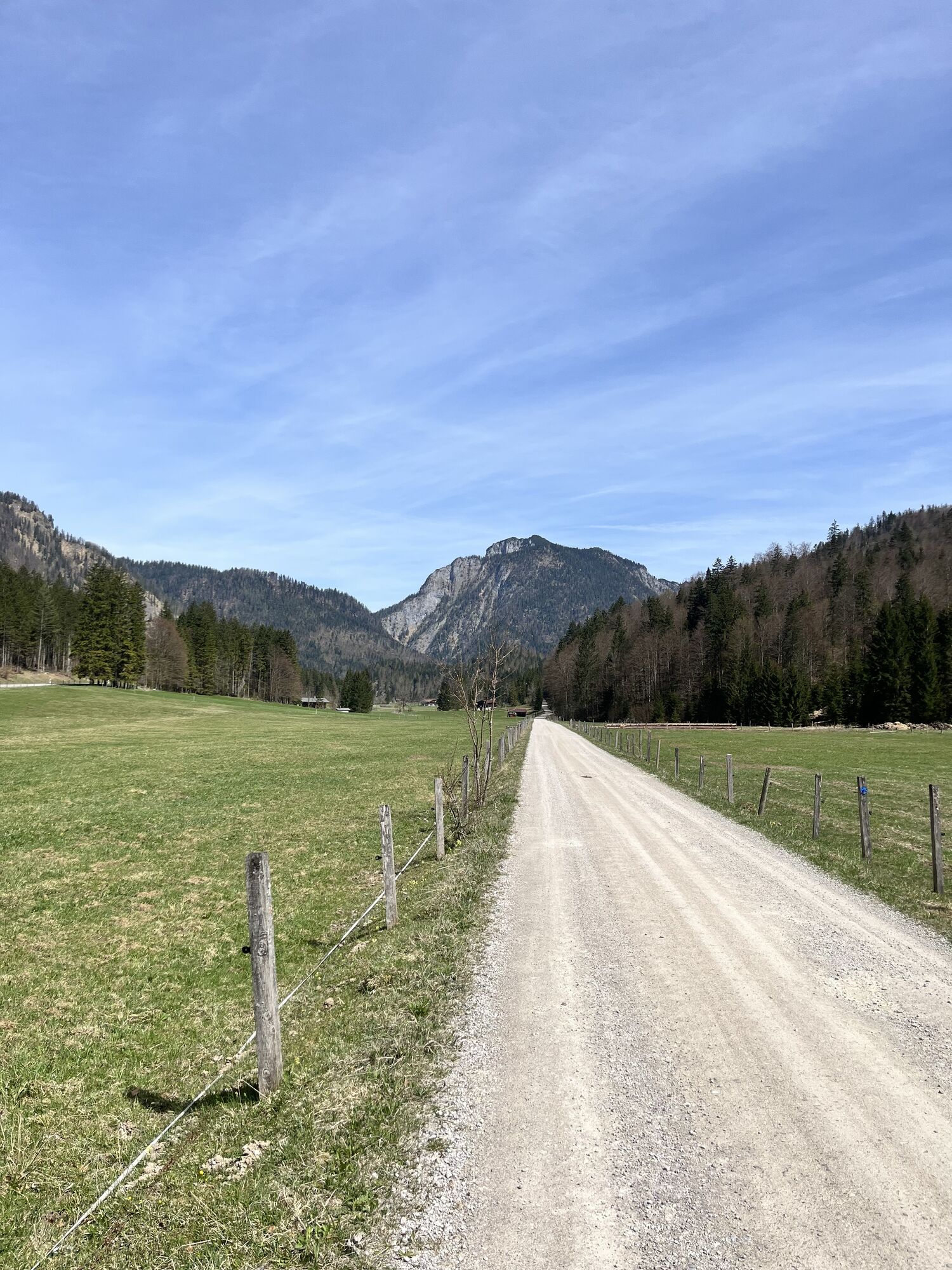
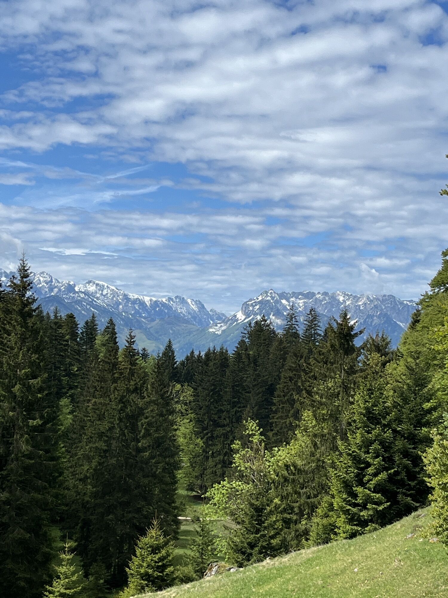
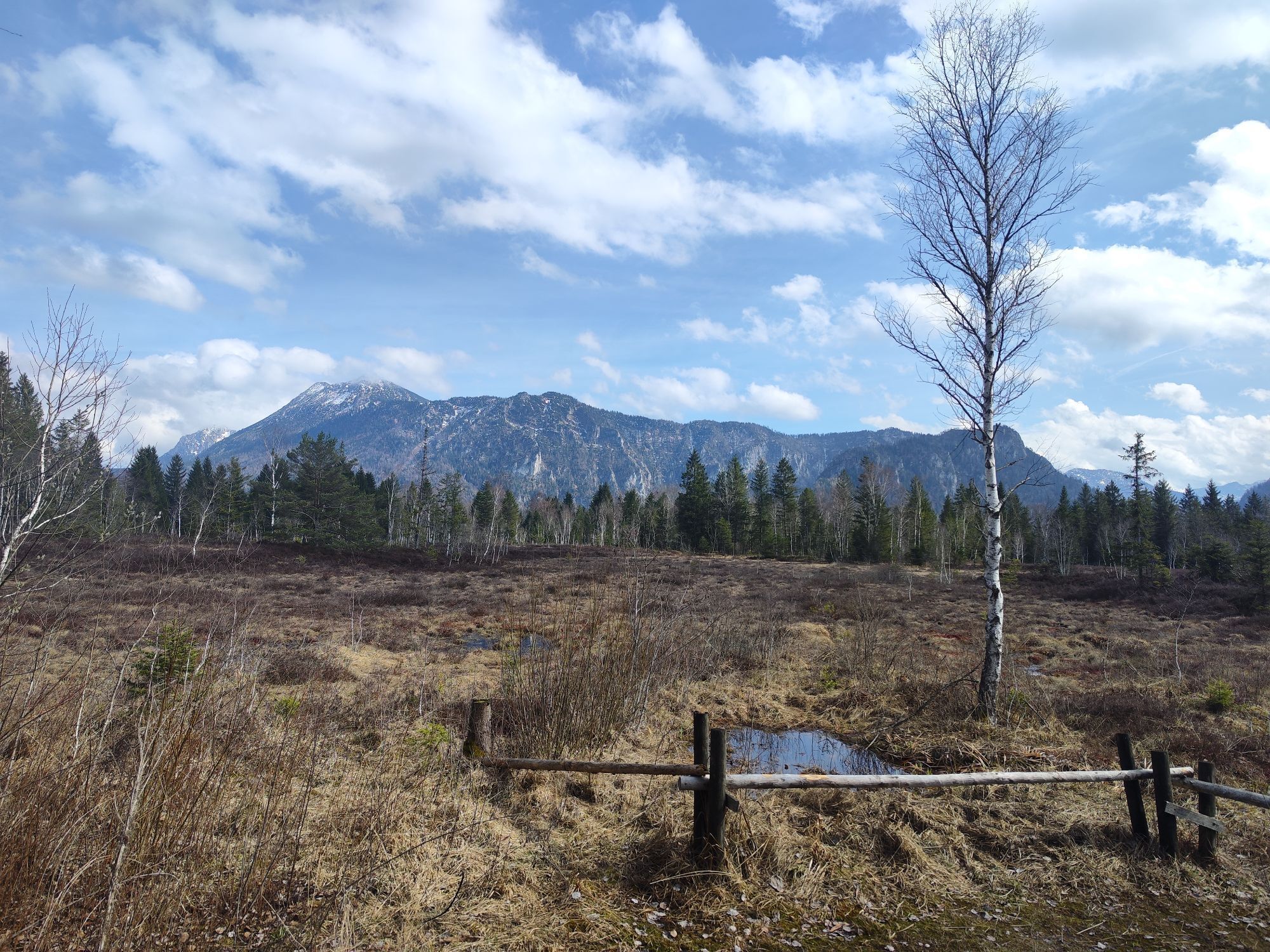
At the top: catch your breath, smile briefly, enjoy the view. The view reaches to the main Alpine ridge, with Großglockner and Großvenediger visible in clear weather. The Alm is proven for cyclists, so all relaxed. But not too long – the route still awaits. After Hutzenalm, it goes down about 400 meters into the Achental. Flowing, fast, rewarding. Then continue via Unterwössen, through the wide Bergener Moos to Bergen. Now it’s rolling again. Legs heavy, but smooth. Via Siegsdorf it goes homewards.
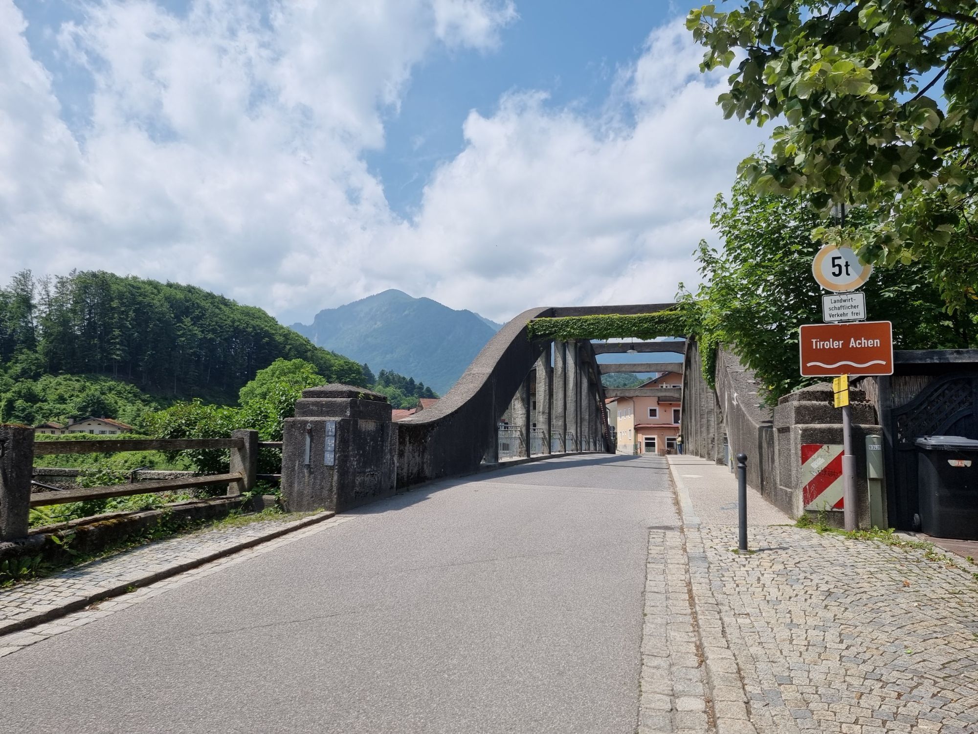
Last mandatory stop shortly before the end: the Kreidl bakery in Hammer. Coffee in, sugar in, then roll the last kilometers cleanly back to Inzell.

Ruhpolding or Siegsdorf train station
Free bike transport on the Südostbayernbahn network
On weekends and during holiday periods, there may be restrictions on bike transport.
Inzell
The opening hours of the dining options can vary
- a quick check before the tour is worthwhile.
Webové kamery z prehliadky
-
Schwarzlofer
-
Reit im Winkl
-
Reit im Winkl - Dorf
-
Hindenburghütte
-
Grabenstätt
-
Märchen-Erlebnispark Marquartstein
-
Kessel-Lifte Inzell
-
Winklmoosalm
-
Ortseingang von Ruhpolding
-
Steinberger Hof
-
Talstation Westernberglift
-
Reit im Winkl - Skipiste
-
Reit im Winkl - Winklmoosalm
-
Vachendorf / Wimpasing
-
Unterwössen
-
Unterwössen
-
Unterwössen
-
Oberwössen
-
Oberwössen
-
Oberwössen
-
Kinderland
-
Hochfelln
-
Hochfelln - Mittelstation
-
Hochfelln
-
Heutal - Wildalm Talstation
-
Staffn Alm
-
Peternhof
-
Peternhof
-
Peternhof
-
Peternhof
-
Peternhof
-
Scheiblberg
-
Bojernhof
-
Bojernhof
-
Bojernhof
-
Bojernhof
-
Rottau - Hoderhof
-
Marquartstein /Schnappenberg
-
Chiemgau Arena
-
Chiemgau Arena
Obľúbené výlety v okolí
-
4,6
Unternberg
svetloTuristika 9,20 km -
4,6
Hochgern
strednáHorská turistika 15,1 km -
4,8
Atemberaubende Aussicht auf dem Dürrnbachhorn
strednáTuristika 8,44 km -
4,4
Hochgernhaus
strednáTuristika 15,1 km -
4,5
Wandertour Hochgern
strednáZimná turistika 14,7 km -
4,6
CHIEMGAU: Hörndlwand (1684m), Gurnwandkopf (1691m)
svetloTuristika 12,6 km -
4,4
unternberg Ruhpolding, Bayern
strednáZimná turistika 3,82 km -
3,3
From Heutal to Sonntagshorn in the Salzburger Saalachtal
strednáTuristika 11,7 km -
3,8
Hochfelln über Bründling Alm
strednáTuristika 7,93 km -
4,8
Hochfelln ab Glockenschmiede und zurück über Farnbödenalmen
strednáTuristika 13,1 km
Turistika a stopovanie


Nenechajte si ujsť ponuky a inšpiráciu na ďalšiu dovolenku
Vaša e-mailová adresa bol pridaný do poštového zoznamu.