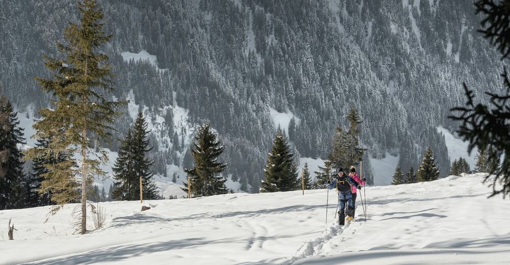
© Destination Gstaad - Destination Gstaad / Melanie Uhkoetter
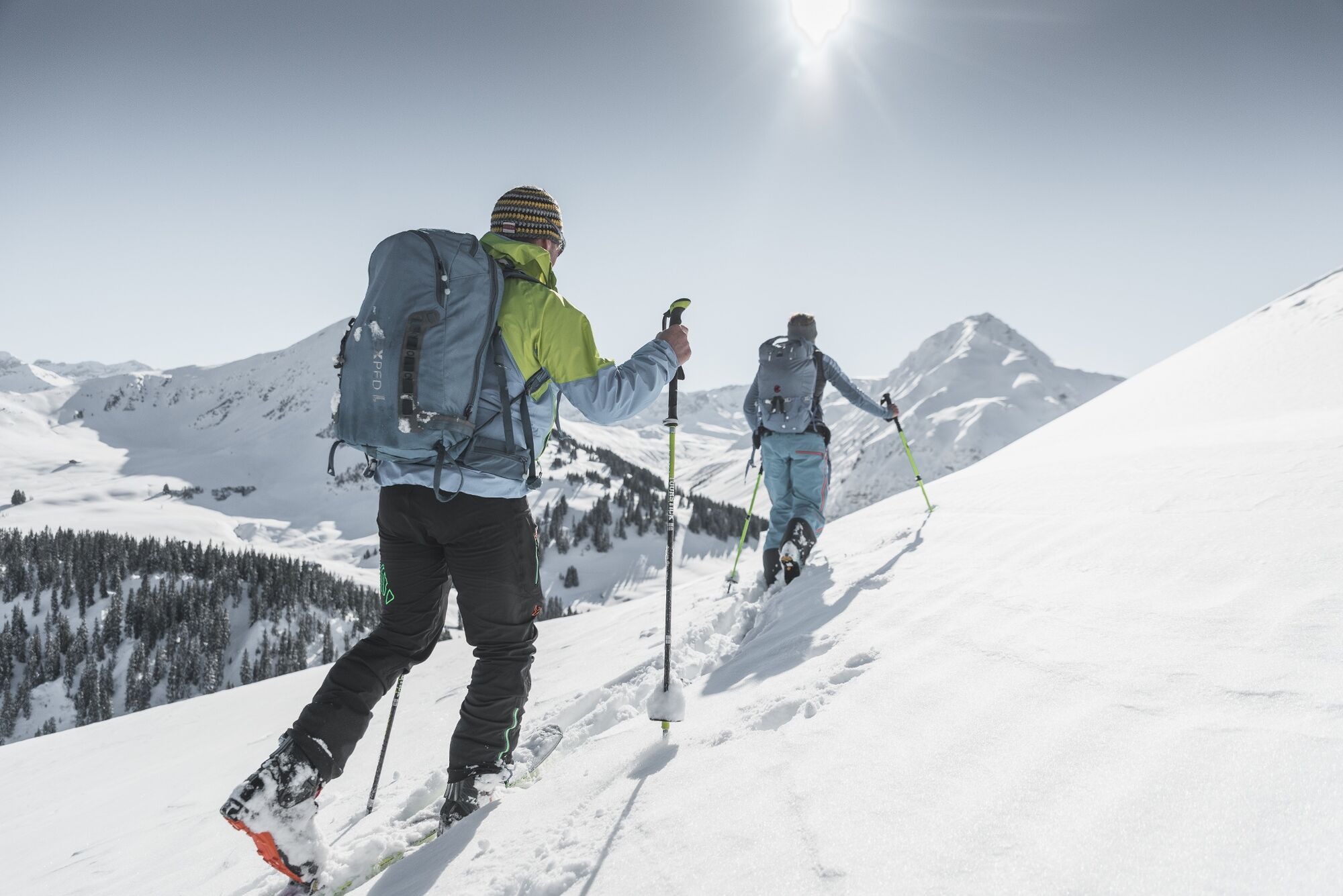
© Destination Gstaad - Destination Gstaad / Melanie Uhkoetter

© Destination Gstaad - Destination Gstaad / Melanie Uhkoetter
- Stručný popis
-
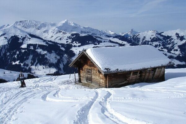
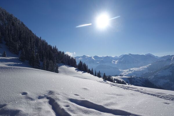
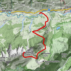
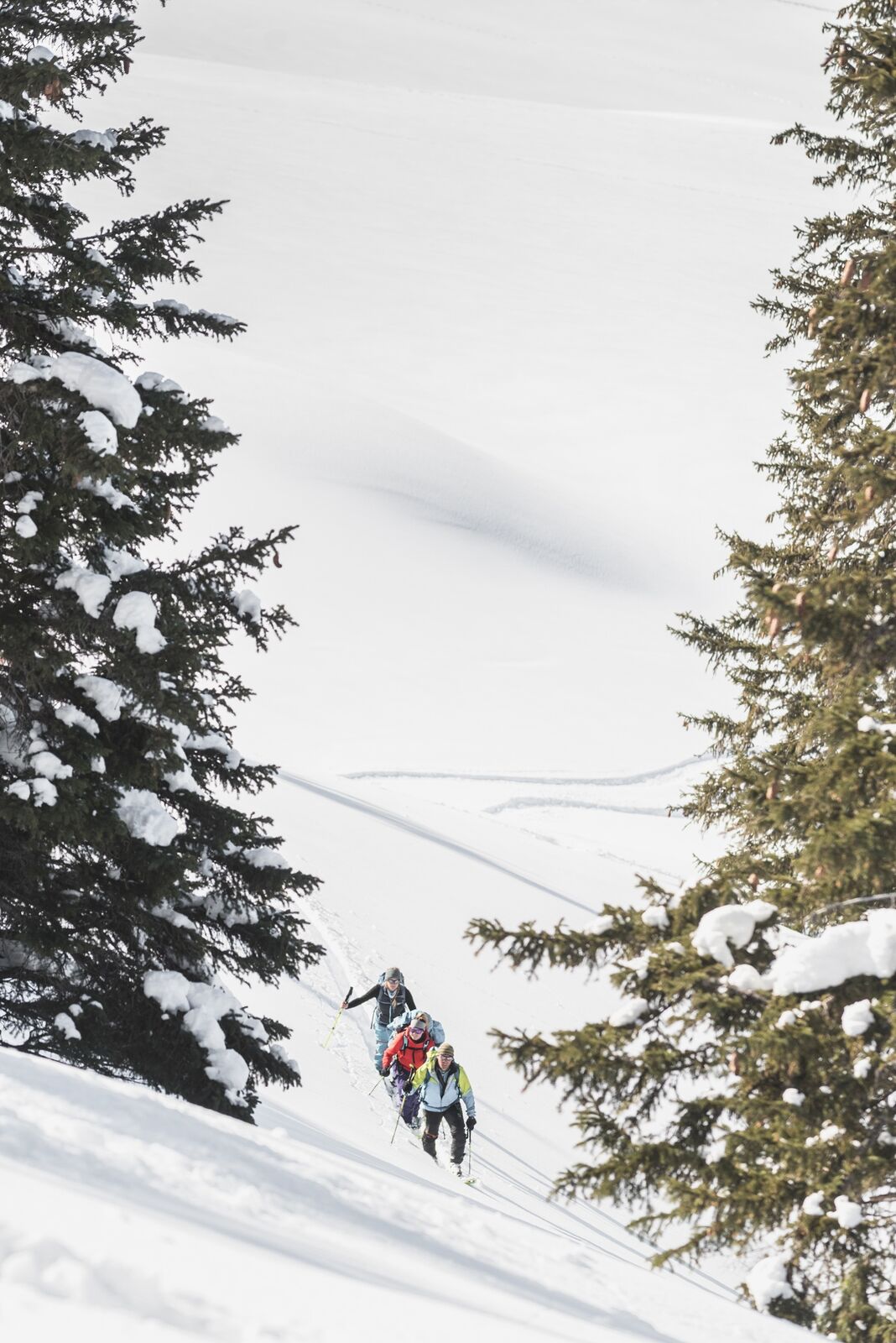
Beautiful freetouring route from the Rinderberg mountain station via the Gandlouene ridge - Rüwlisepass - Oberer Laseberg - Wistätthorn and subsequent freeride descent to St. Stephan or Turbach.
- Obtiažnosť
-
stredná
- Hodnotenie
-
- Trasa
-
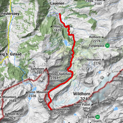
Bergrestaurant Rinderberg-SpitzHindere Spitz (2.078 m)0,3 kmParwengesattel (1.988 m)1,2 kmWistätthorn (2.362 m)8,1 km
- Najlepšia sezóna (ročné obdobie)
-
augsepoktnovdecjanfebmaraprmájjúnjúl
- Najvyšší bod
- 2.360 m
- Cieľová destinácia
-
Wistätthorn
- Exposition
- Profil nadmorskej výšky
-
 © outdooractive.com

-

-
AutorPrehliadka Rinderberg - Wistätthorn (2362 M.Ü.M) používa outdooractive.com na stránke ..
GPS Downloads


Všeobecné informácie
Zastávka s občerstvením
S výhľadmi
Ďalšie prehliadky v regiónoch