
- Stručný popis
-
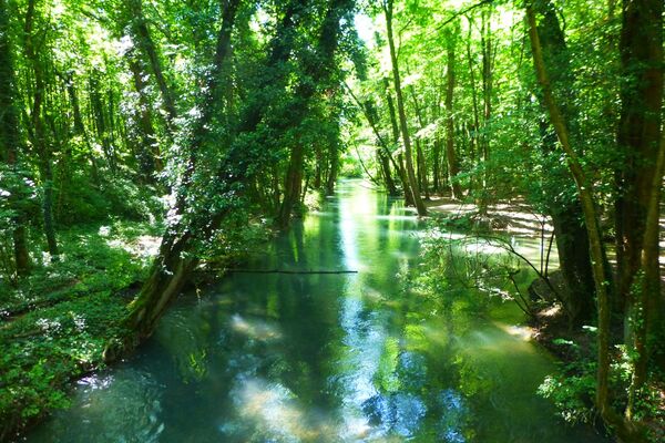
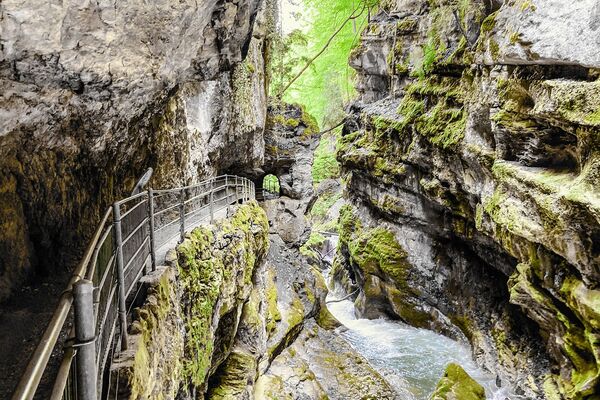
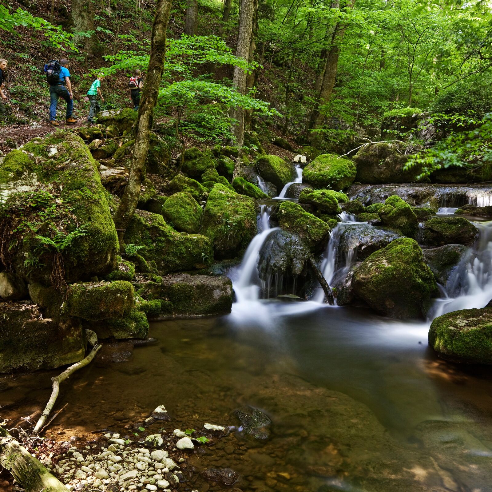
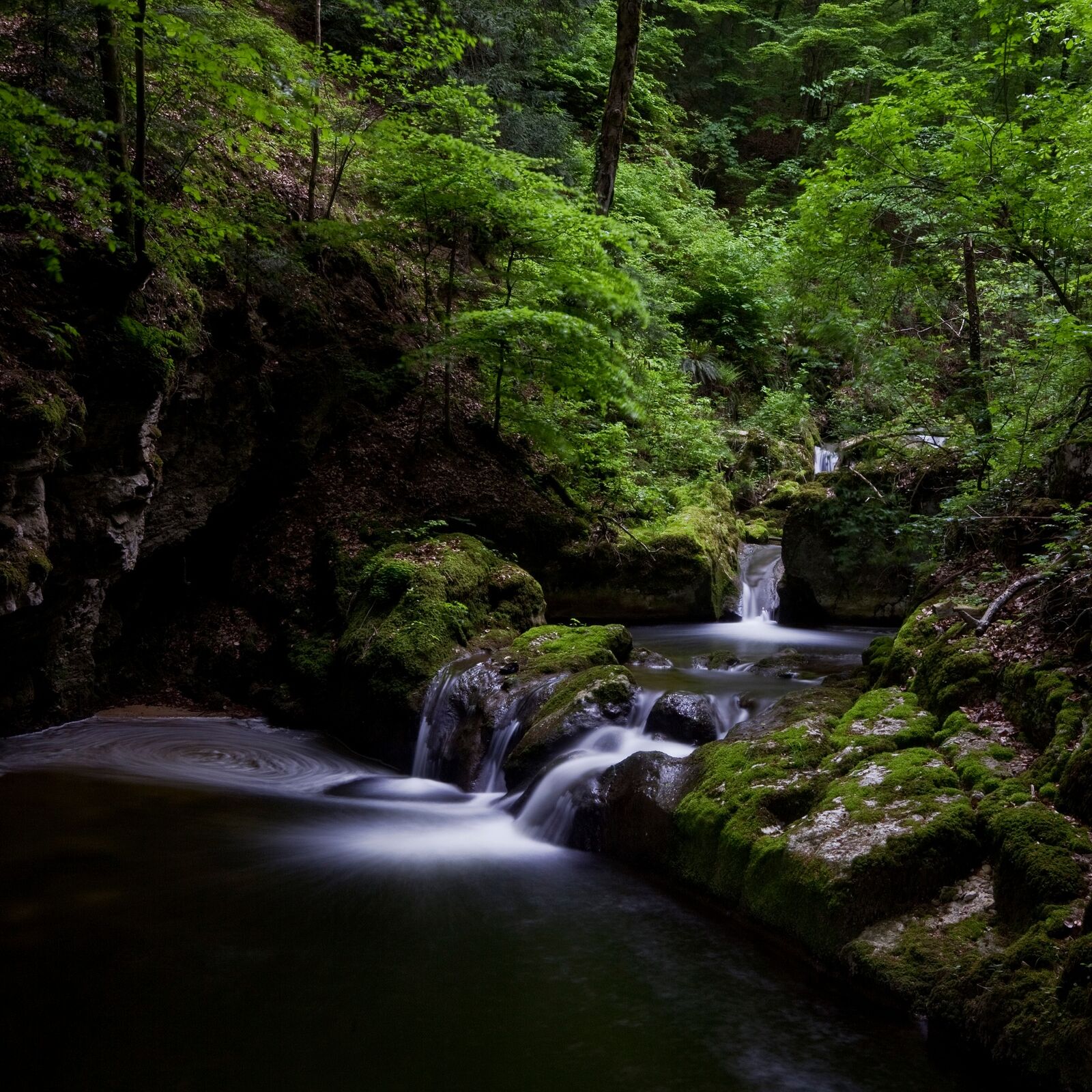
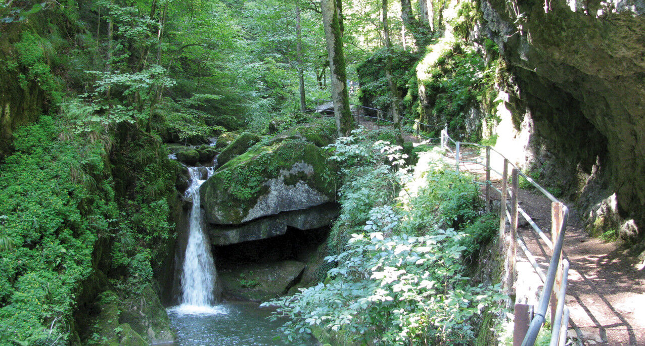
This is a popular, scenic hike across the forested back of the chain of lakes. The descent is through the cool Twann river gorge to the shores of Lake Biel (Take care in wet weather: slippery stone slabs!). Along the way, you will encounter the administration facilities of the Swiss Federal Office of Sport and the Twannberg Holiday Village Foundation building, both of which blend harmoniously into the landscape. Minimal hard-surfaced areas outside of townships.
- Obtiažnosť
-
ľahká
- Hodnotenie
-
- Trasa
-
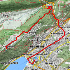
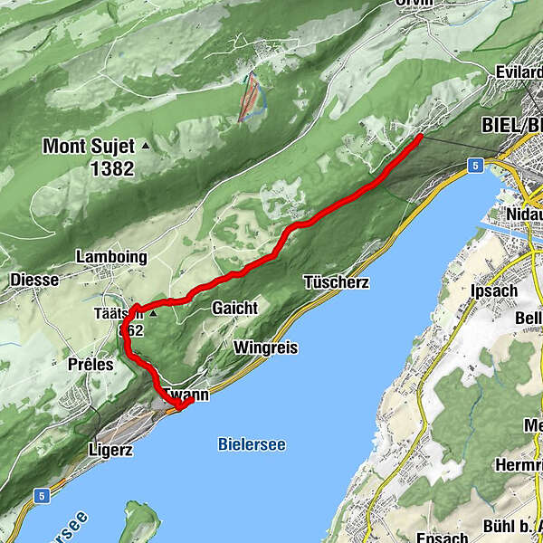
Magglingen (875 m)Biel/Bienne (434 m)Bellavista0,2 kmTwannberg5,6 kmTäätsch (862 m)6,4 kmLes Moulins6,9 kmGlas-Atelier7,0 kmKänzeli9,3 kmTwann (434 m)9,7 kmTwann (434 m)9,8 km
- Najlepšia sezóna (ročné obdobie)
-
janfebmaraprmájjúnjúlaugsepoktnovdec
- Najvyšší bod
- 976 m
- Cieľová destinácia
-
Twann
- Profil nadmorskej výšky
-
 © outdooractive.com
-

-
AutorPrehliadka Twann river gorge (Twannbachschlucht) používa outdooractive.com na stránke ..
GPS Downloads


Všeobecné informácie
Zastávka s občerstvením
Kultúra/Historické stránky
Zasvätený tip
S výhľadmi
Ďalšie prehliadky v regiónoch
-
Biel Seeland
781
-
Bielersee / Twann - Ligerz - Tüscherz
336
-
Twann
118