


CycloRoute71 - Etape 2 de Cormatin à Tournus
Úroveň náročnosti: 3
This second leg of the CycloRoute71 is shorter and very pleasant, taking you in the direction of Tournus on the route of Romanesque churches and medieval sites. On the way, on a clear day, you may even...
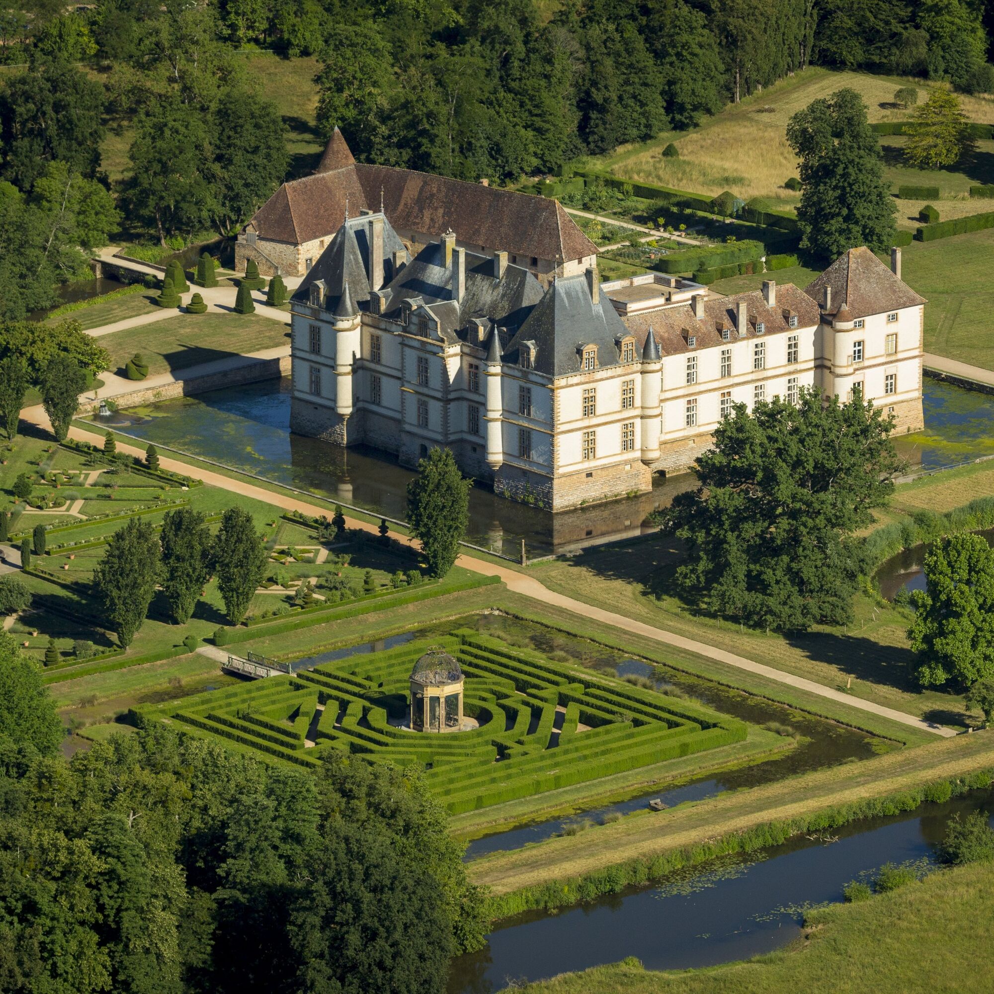
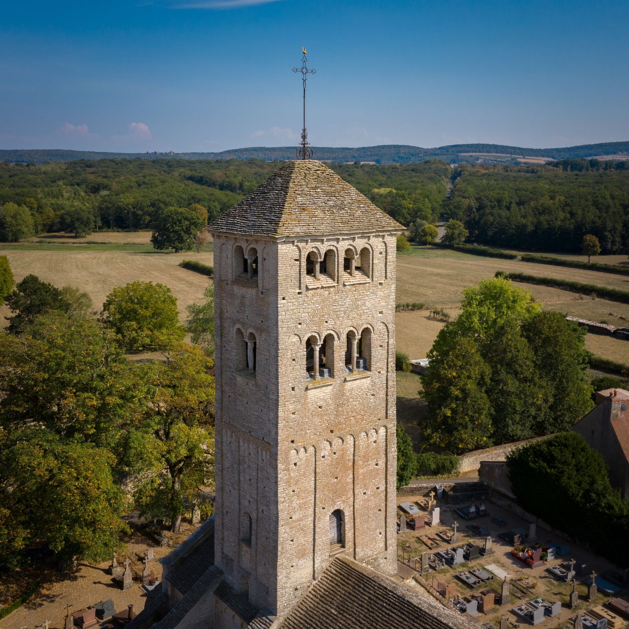
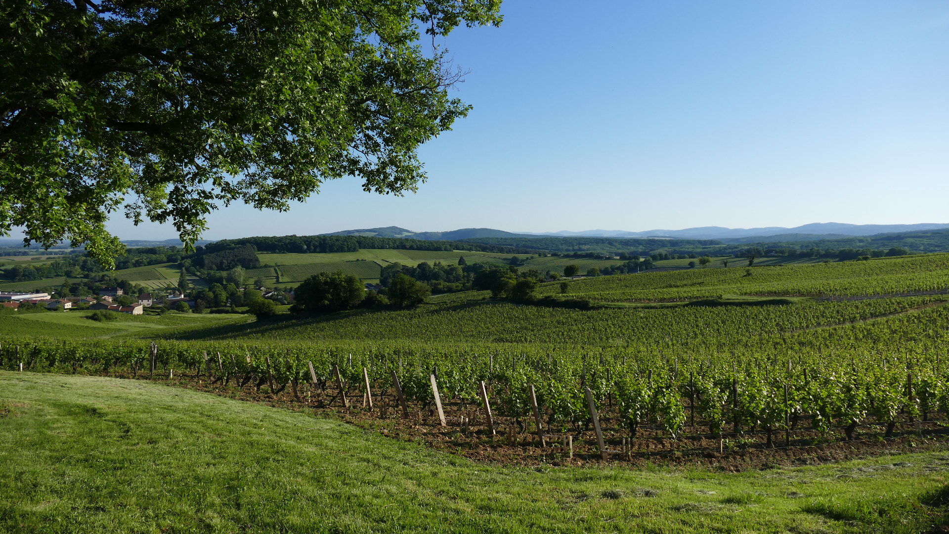
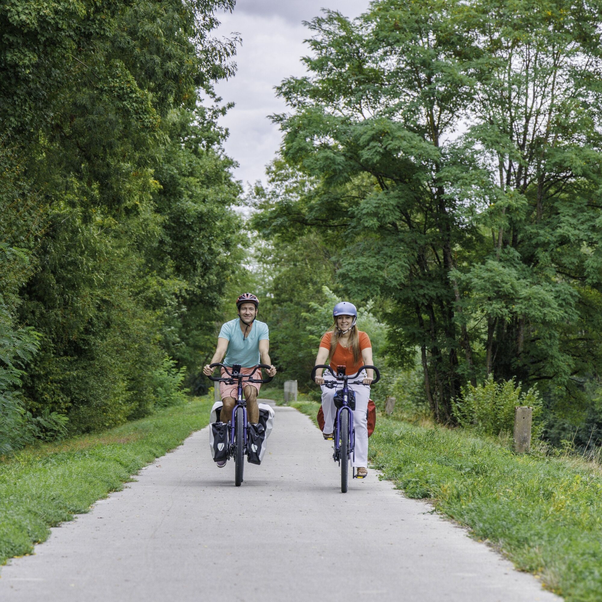
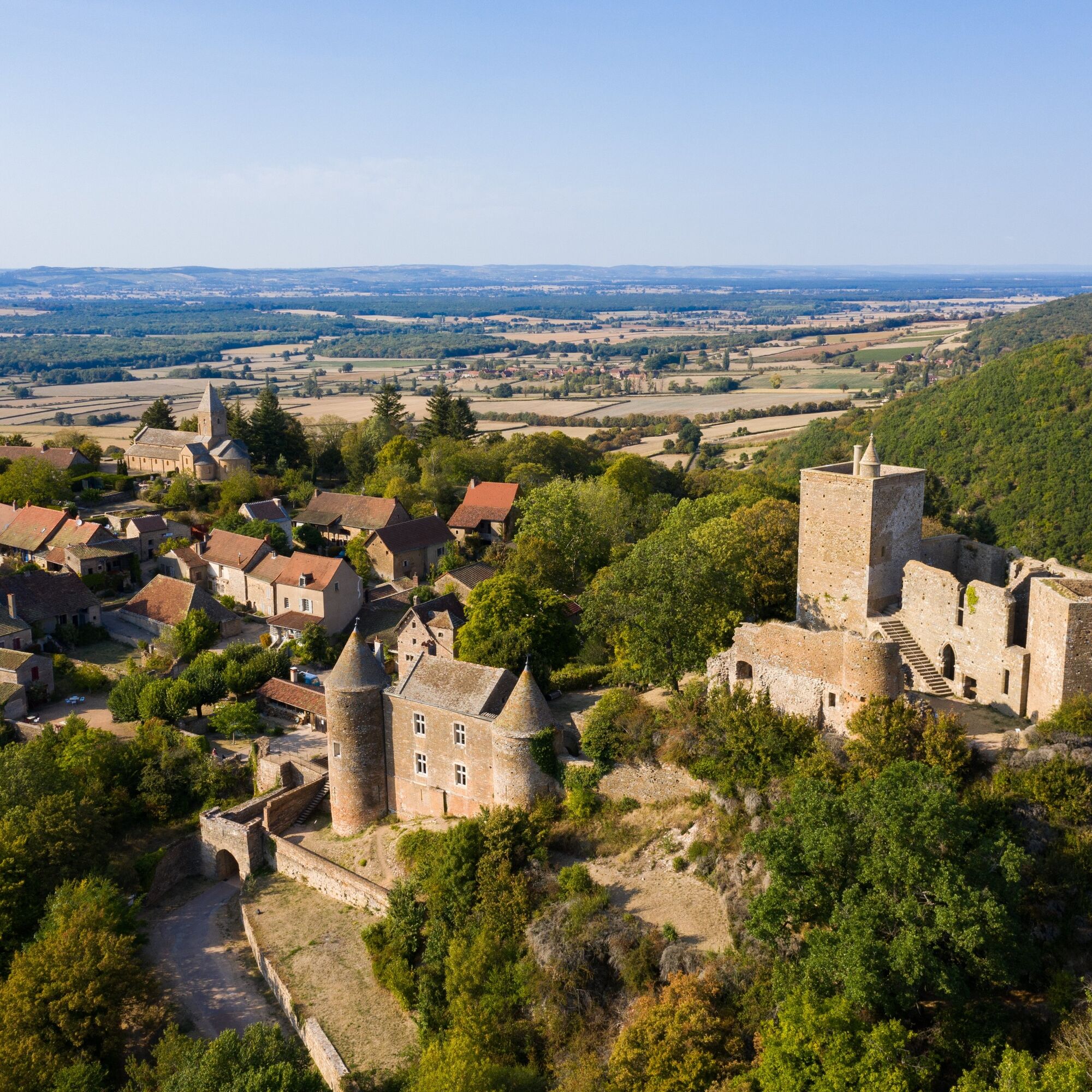
This second leg of the CycloRoute71 is shorter and very pleasant, taking you in the direction of Tournus on the route of Romanesque churches and medieval sites. On the way, on a clear day, you may even catch a glimpse of Mont Blanc on the horizon. Your arrival in Tournus, a renowned stopover town, will be the perfect opportunity to make a Romanesque and gourmet stopover... You can find the detailed route booklet for the 12 stages of the CycloRoute71 in the "our brochures" tab.
In case of emergency, dial 112
Consider carpooling
Parking near the starting point
3
Obľúbené výlety v okolí
-
La Boucle de Bourgogne du Sud
svetloCyklistika 145,0 km -
Le chemin des Moines
strednáTuristika 35,0 km -
La Voie Bleue, Moselle-Saône à vélo : de Mont-les-Seurre à Mâcon
svetloCyklistika 212,4 km -
CycloRoute71 - Etape 1 de Mâcon à Cormatin
strednáCyklistika 51,1 km -
Sur l'Ormeau - La Grand Croix
strednáJazda na koni 12,1 km -
Boucle "Vélo & Fromages"
svetloCyklistika 322,2 km -
Le Marais de Massilly
svetloTuristika 0,20 km -
Du toit des grottes à la Mouge
svetloTuristika 1,25 km -
La Route Européenne d'Artagnan
svetloJazda na koni 327,8 km -
La Boucherette
svetloTuristika 3,37 km
Turistika a stopovanie


Nenechajte si ujsť ponuky a inšpiráciu na ďalšiu dovolenku
Vaša e-mailová adresa bol pridaný do poštového zoznamu.