© Terra Dinarica - planinarenje .ba
© Terra Dinarica - planinarenje .ba
© Terra Dinarica - planinarenje .ba
© Terra Dinarica - planinarenje .ba
© Terra Dinarica - planinarenje .ba

- Stručný popis
-
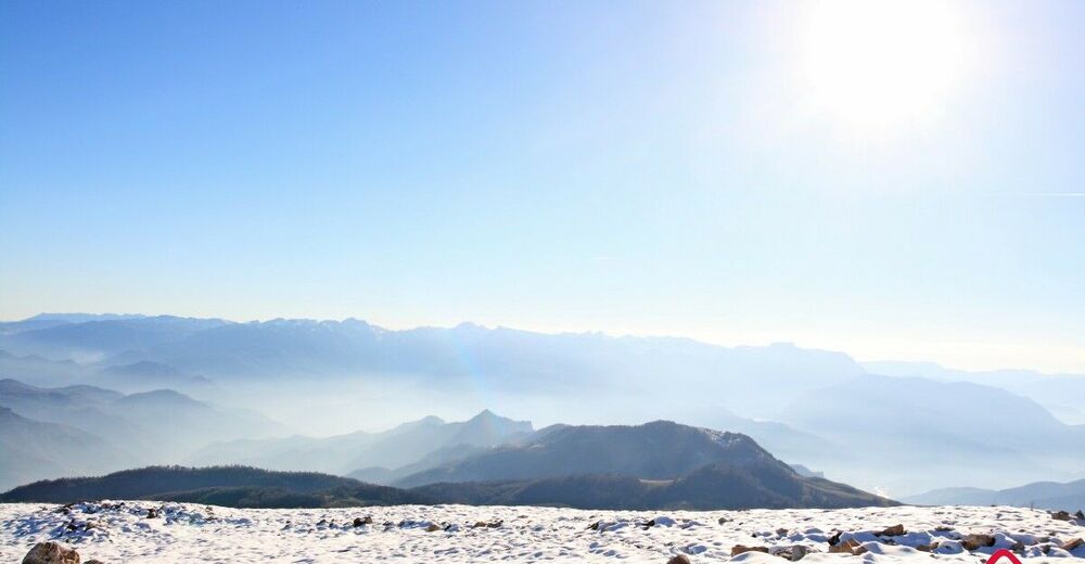
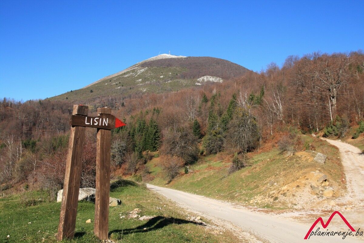
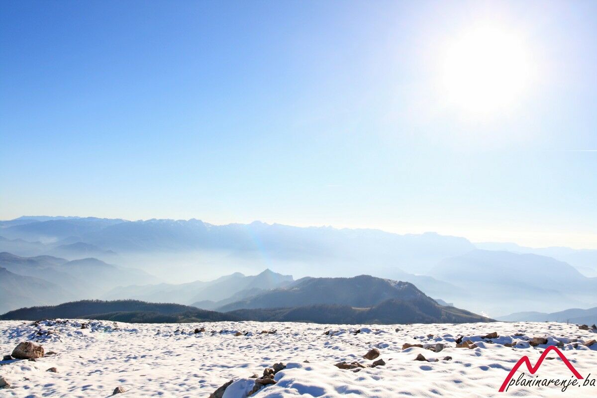
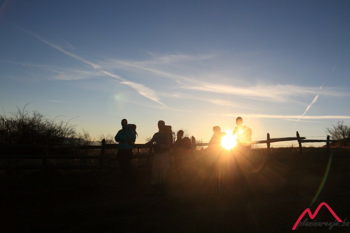
This is a moderately difficult and technically undemanding trail leading over beautiful terrain, with short steep sections and at least two fountains offering drinking water. The summit of Lisin offers one of the most beautiful views of the highest number of mountains of Bosnia and Herzegovina.
- Trasa
-
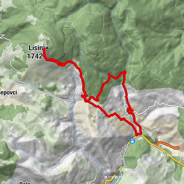
BradinaLisin (1.742 m)5,1 kmKatolička kapela sv. Ane12,1 kmCrkva Uznesenja Gospodnjeg12,1 kmBradina12,3 km
- Najvyšší bod
- 1.718 m
- Cieľová destinácia
-
Bradina
- Profil nadmorskej výšky
-
 © outdooractive.com

-

-
AutorPrehliadka Bradina - Lisin používa outdooractive.com na stránke ..