


Foran dal Mus geological trail - Short route
Úroveň náročnosti: T2
Fotografie našich používateľov
-

 © Silva JerinaVytvorené dňa 19.08.2025
 -

 © IgorfurstVytvorené dňa 27.04.2026
 -
 © Aljaž LevičarVytvorené dňa 06.04.2026
 -
 © NicoVytvorené dňa 17.03.2026
 -
 © IgorfurstVytvorené dňa 07.03.2026
 -
 © Giorgio VivodaVytvorené dňa 11.05.2025
 -
 © Giorgio VivodaVytvorené dňa 11.05.2025
 -
 © Giorgio VivodaVytvorené dňa 01.05.2025
 -
 © copeVytvorené dňa 30.04.2025
 -
 © Jozef JankolaVytvorené dňa 04.03.2025
 -
 © Jozef JankolaVytvorené dňa 04.03.2025
 -
 © Jozef JankolaVytvorené dňa 04.03.2025
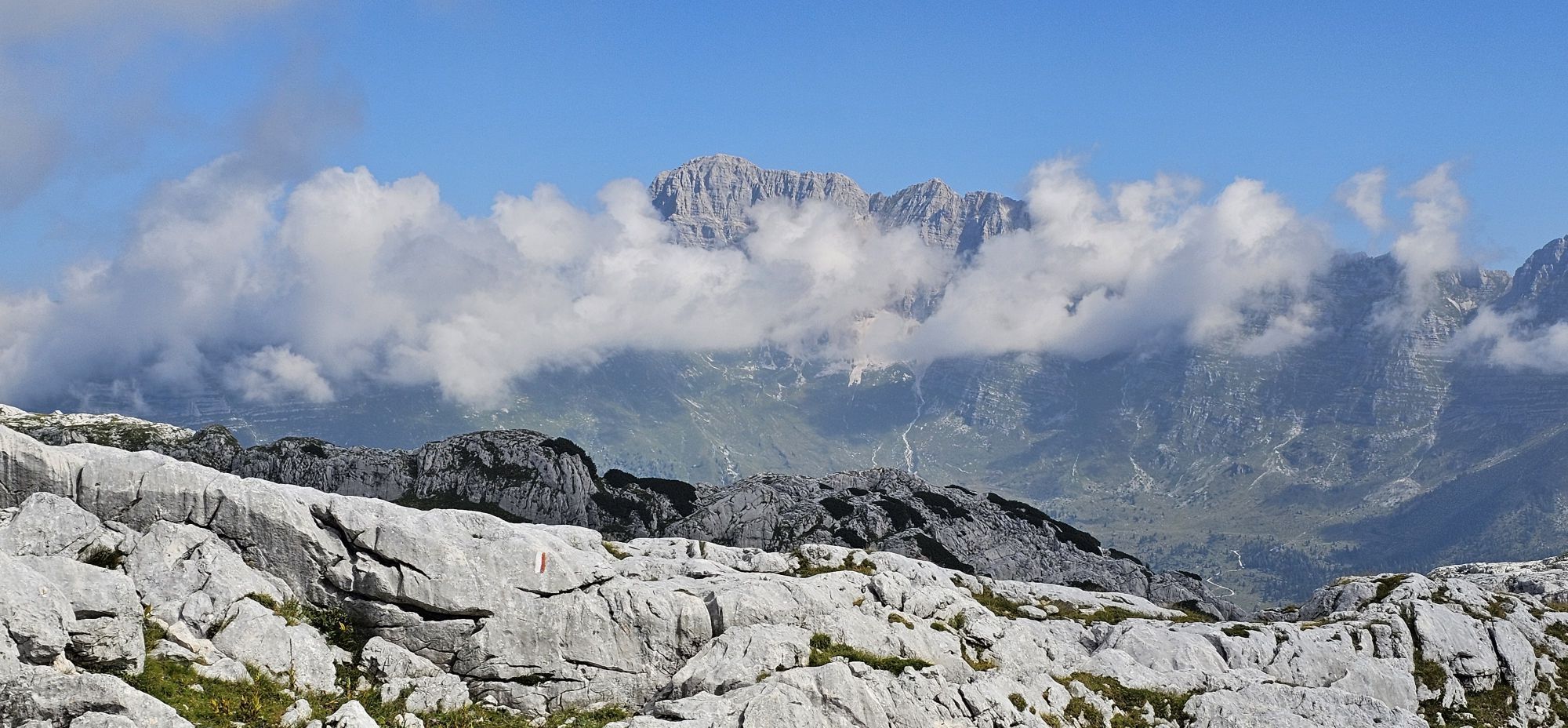
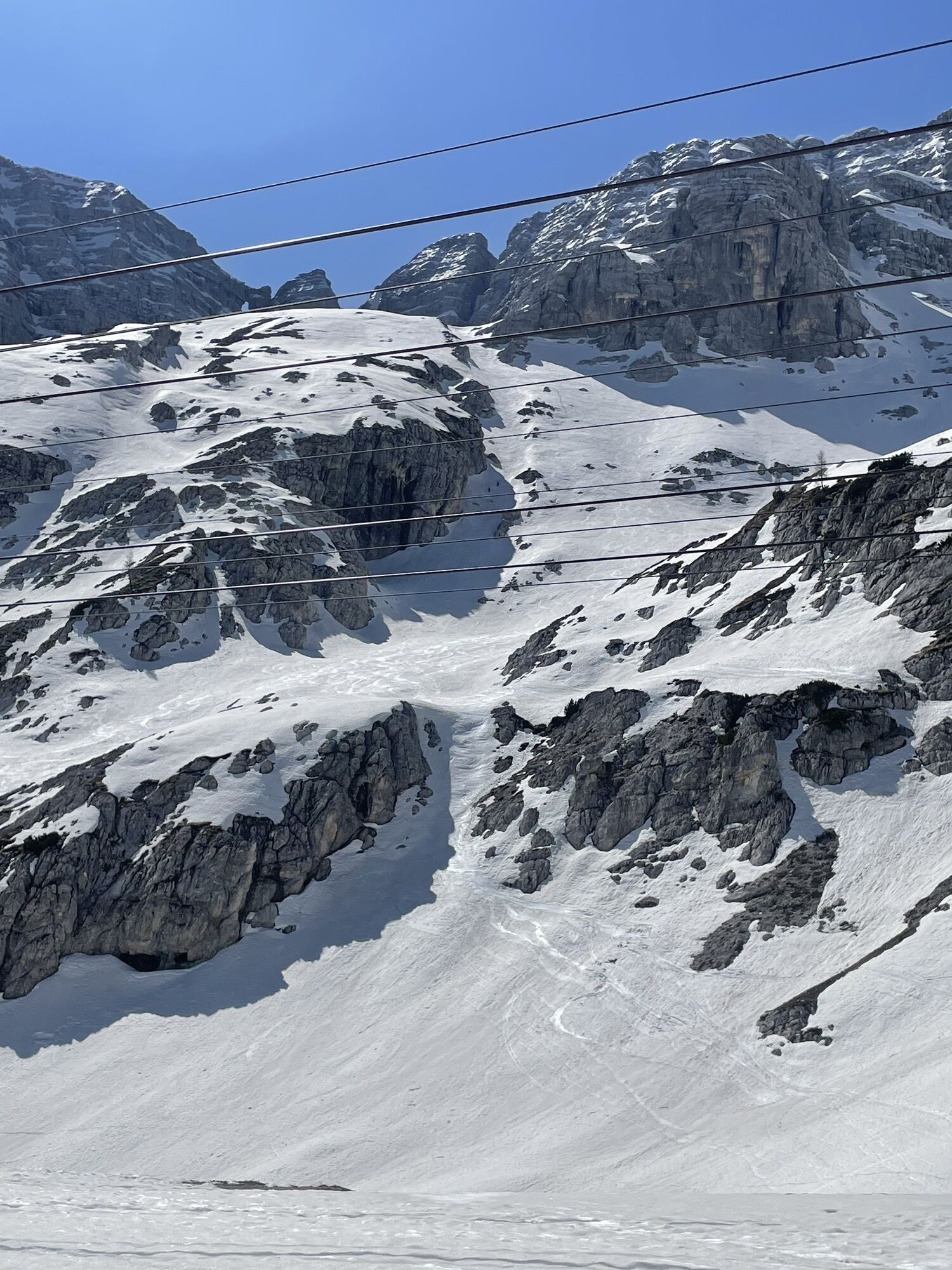


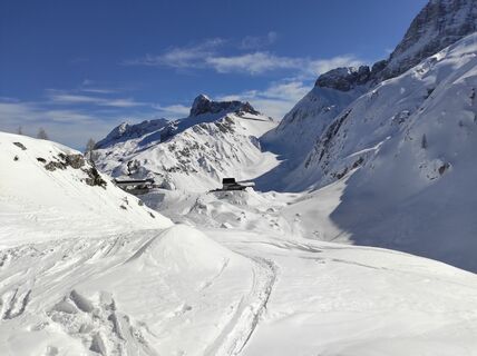
The Foran dal Mus geological trail was designed to offer visitors to the Park the chance to fully appreciate one of the most peculiar and striking aspects of the protected area: the extraordinary geological...
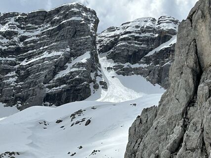
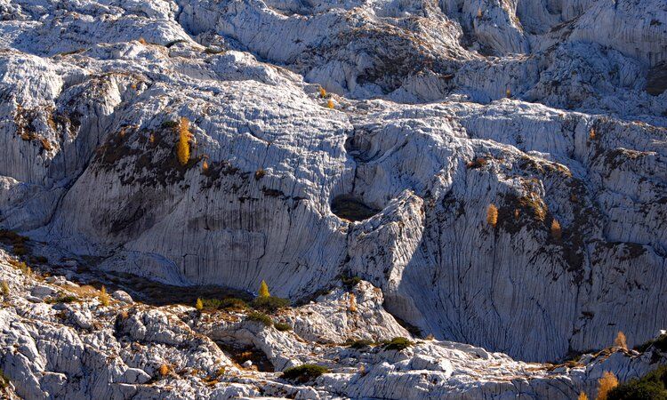
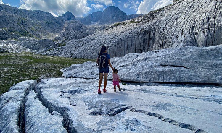
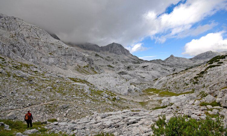
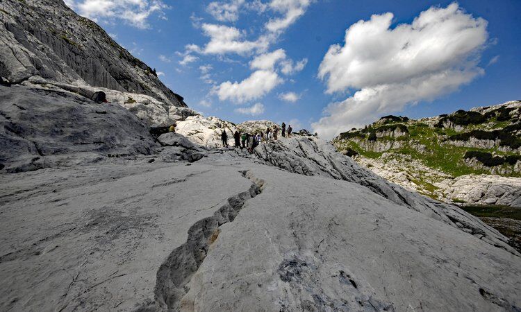
The Foran dal Mus geological trail was designed to offer visitors to the Park the chance to fully appreciate one of the most peculiar and striking aspects of the protected area: the extraordinary geological phenomena of the highest part of the Canin Massif. These areas, dear to climbers and speleologists, embody the charm of stone carved by water which shapes surfaces and then descends into the deepest recesses of the mountain, the dwellings of spirits and fantastic beings who populate the legends of these territories. They have as extraordinary companions the flowers and animals that a keen eye can find in the immense rock garden.
The views are evocative, majestic and unusual. The trail offers some variants depending on your interest, your time, and your physical condition.
The route takes place entirely on the CAI trails no. 632 and 632/a.
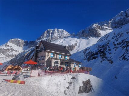
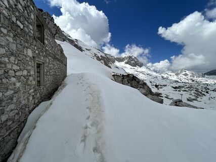
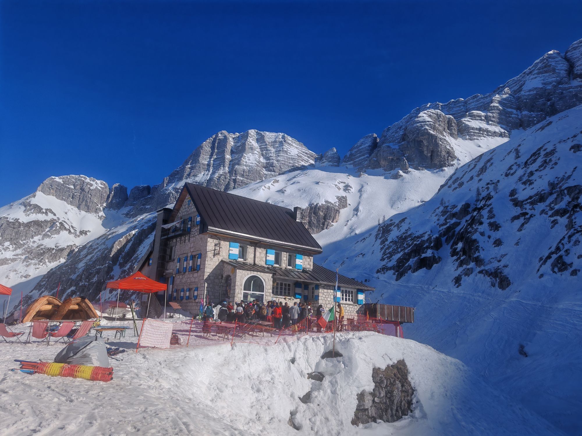
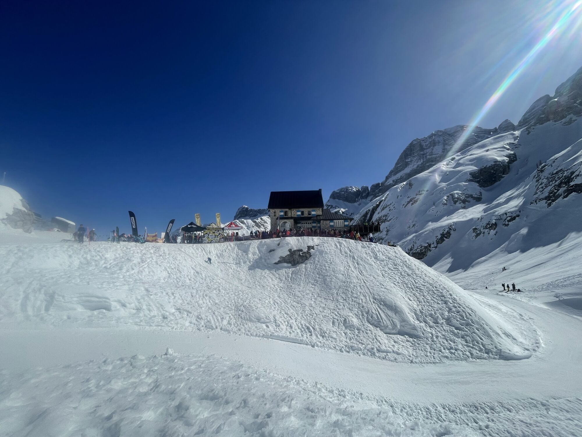
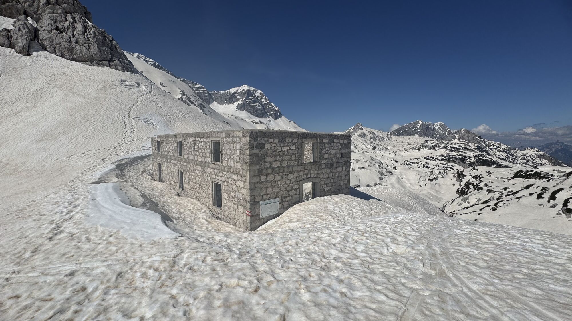
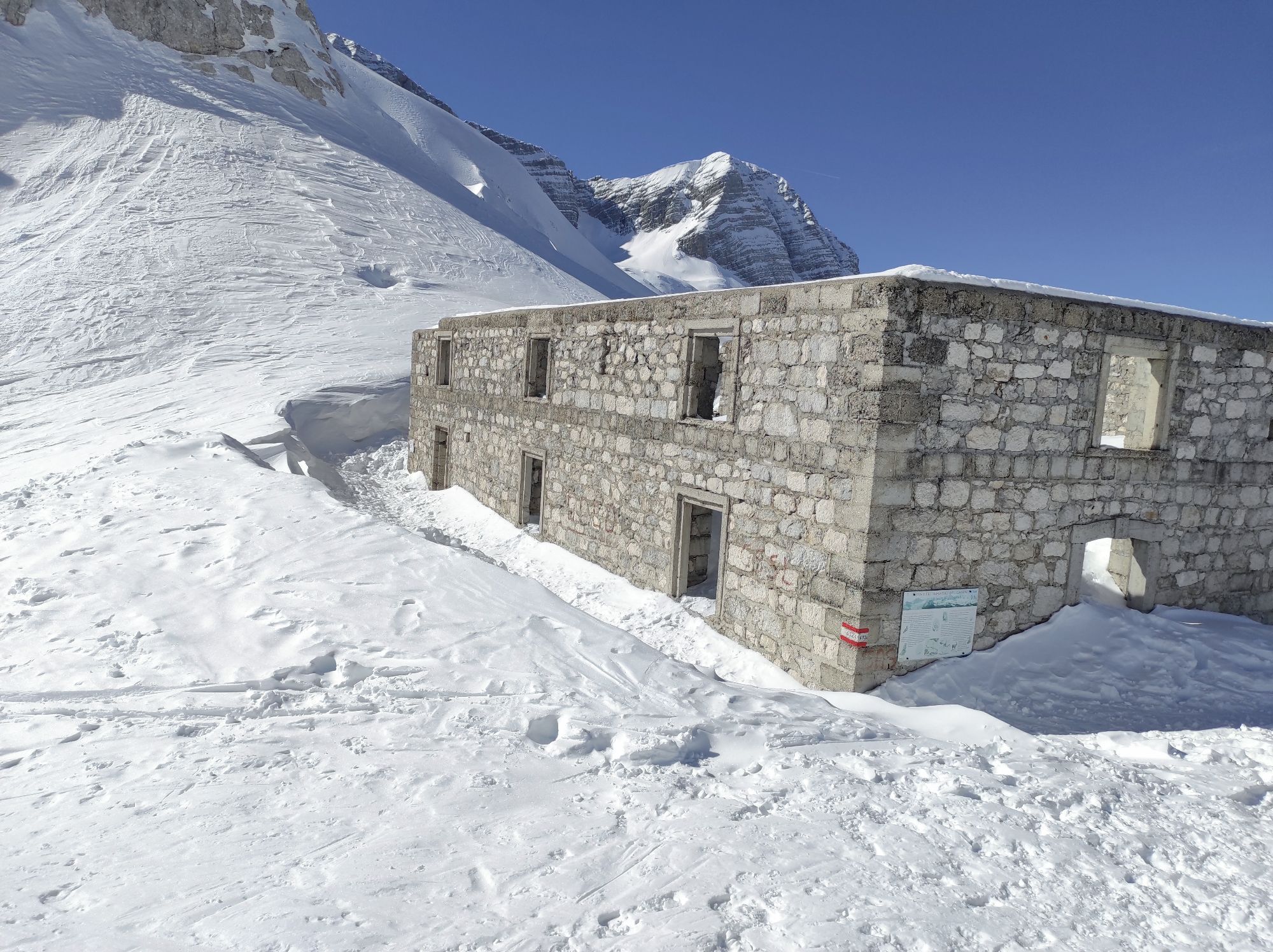
From the Gilberti Refuge, take the CAI trail no. 632 towards the Bila Pec saddle, which can be reached in about 20 minutes of uphill walking. Once at the saddle, follow the CAI trail no. 632/a variant that descends to the right of the World War I fort and leads, after a steep gravelly channel that must be crossed carefully, into the heart of the karst plateau.
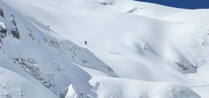
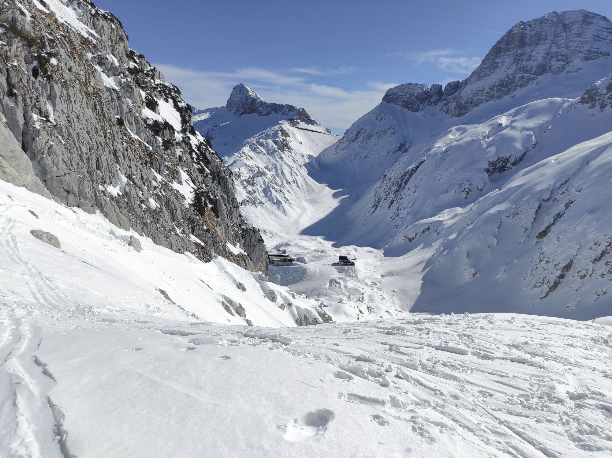
The trail now becomes gentler and crosses the spectacular plateau between karst and glacial formations such as furrowed fields, grooves, and roche moutonnées until reaching the Boegan abyss, also called the navel of Mount Canin.
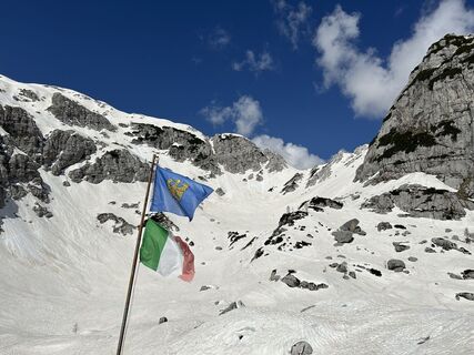
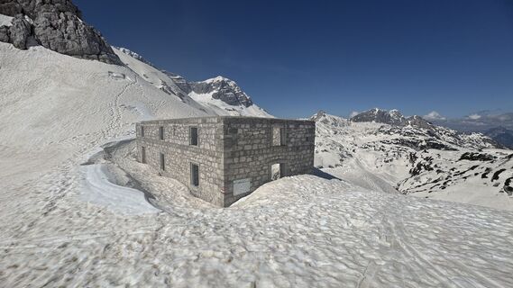
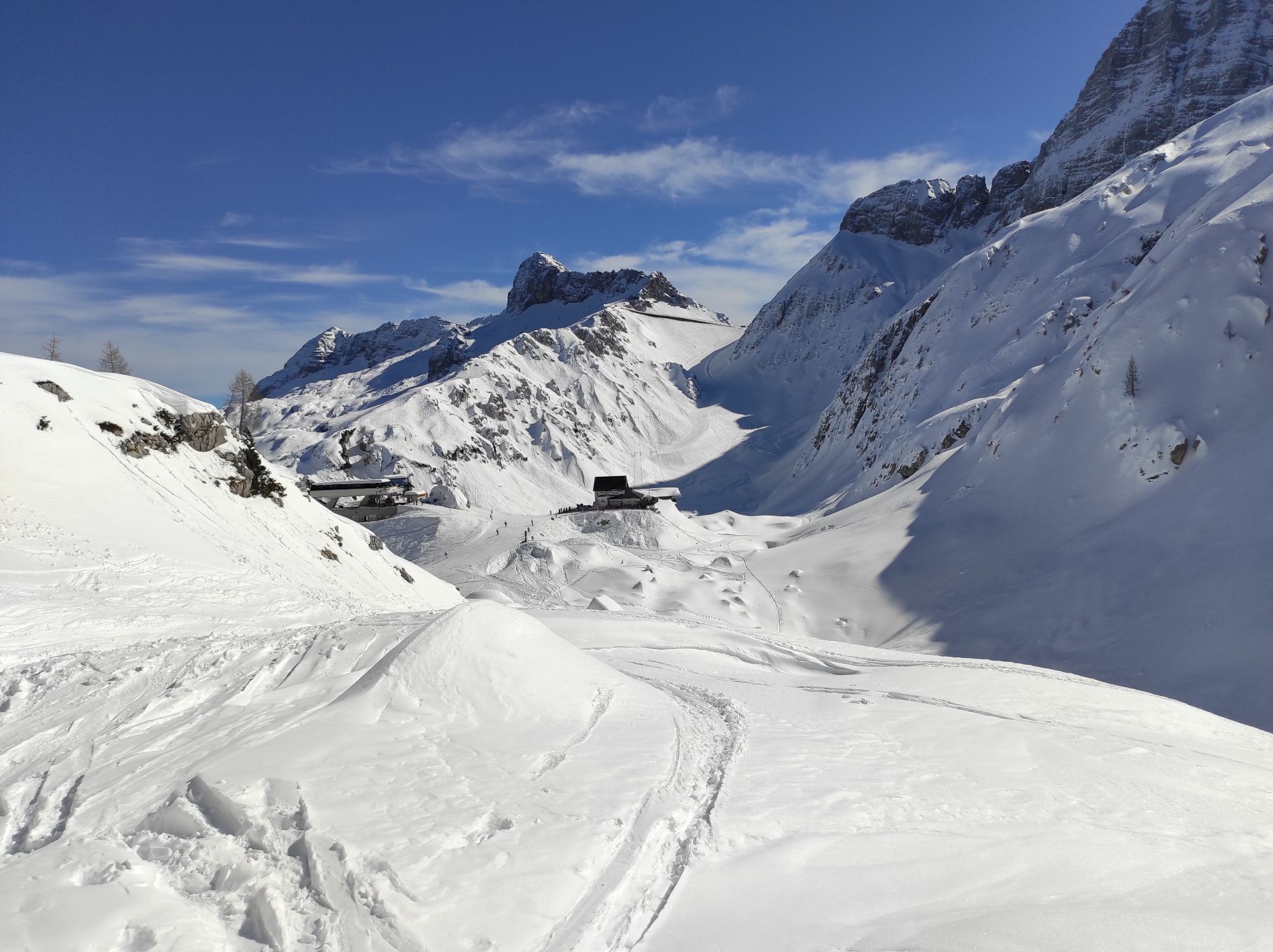
After being amazed by the beauty of the place, with the spectacular karst amphitheater behind the sinkhole, the trail gently ascends again to about 1980m above sea level where it rejoins the CAI trail no. 632. Continue on it westwards until you reach the Grubia saddle, where the Marussich bivouac is located, the end point of the itinerary.
From the bivouac, retrace the entire CAI trail no. 632 back to the Bila Pec saddle and then back to the Gilberti Refuge. Pay attention to the snowfields, especially in early summer, as they may make crossing the channels dangerous.
Áno
Áno
An appropriate outdoor equipment is recommended:
Rain jacket; Long trousers; T-Shirt; Sweatshirt; Hiking shoes or boots; Hat; Water and snacks; First aid kit and sunscreen;In case of injuries, the number to call is 112 NUE
Ticks are present throughout the Friuli Venezia Giulia territory; therefore, it is recommended to inform yourself about prevention and protection techniques: Tick information Friuli Venezia Giulia region
The route is not recommended after and during adverse weather conditions and is not recommended in the hottest summer hours.
If you want to undertake the route at late spring or early summer, pay attention to the snowfields along the trail and consider bringing an ice axe and crampons.
Sella Nevea is conveniently reachable from:
Chiusaforte - Following the SS-13 Pontebbana towards Tarvisio, once you reach Chiusaforte turn right (signs present) onto the SP76 which runs along the entire valley to Sella Nevea;
Tarvisio - From the town take the SS54 towards Cave del Predil. After passing the town and approaching Lake Predil, keep right to take the SP76 that leads to Sella Nevea.
To reach the Gilberti Refuge you can take the CAI trail no. 635 or take the Canin cable car. Info on costs and schedules clicking here
Bus
Sella Nevea is reachable with line 191 departing from Chiusaforte. To know schedules and stops view the pdf file at this link: click here or visit the TPL FVG website.
Train
The closest useful stations are Carnia Station, Pontebba and Tarvisio Boscoverde, all more than 20 km from Sella Nevea. Check connections with bus lines.
At Sella Nevea there are numerous and large free unsupervised parking lots available.
Electric car charging stations are also available: GPS Point
T2
Given the karstic nature of the territory, it is recommended to carry plenty of water as none is available along the route.
It is recommended to take home any type of waste and to preserve the places crossed as best as possible.
It is reminded that collecting plant species or parts thereof is prohibited within the Natural Park and may be subject to restrictions as per Regional Law 7/2009 in external areas. At this link you can consult the list of protected species.
It is reminded that within protected areas dogs must be kept on a leash.
At this link the free pdf guide of the proposed itinerary is available.
Explore the Foran dal Mus with the Virtual Tour.
To complete the visit, the following are recommended:
Speleology and karst exhibition of Sella Nevea; The Goriuda springObľúbené výlety v okolí
-
4,7
Tarvisio - Venzone (C101)
strednáDiaľková cyklotrasa 64,7 km -
4,9
Monte Lussari über den alten Pilgerweg
strednáTuristika 6,43 km -
4,5
Monte Lussari
strednáSkitour 10,7 km -
4,3
Cima di Terra Rossa
Turistika 4,90 km -
4,2
Monte Santo di Lussari, Skitour, Pilgerweg
strednáSkitour 9,35 km -
4,0
Jof di Miezegnot 2087m (Malborgether Mittagskofel)
Turistika 9,90 km -
4,9
Monte Santo di Lussari / Svete Višarje / Luschariberg - Monte Lussari - Cima del Cacciatore - Rifugio Locanda al Convento
strednáTuristika 5,18 km -
4,4
Cacciatore
svetloSkitour 10,8 km -
5,0
Drei Gipfel des Monte Nebria
strednáTuristika 7,72 km -
4,8
Jof di Somdogna
strednáTuristika 15,8 km

Turistika a stopovanie


Nenechajte si ujsť ponuky a inšpiráciu na ďalšiu dovolenku
Vaša e-mailová adresa bol pridaný do poštového zoznamu.