


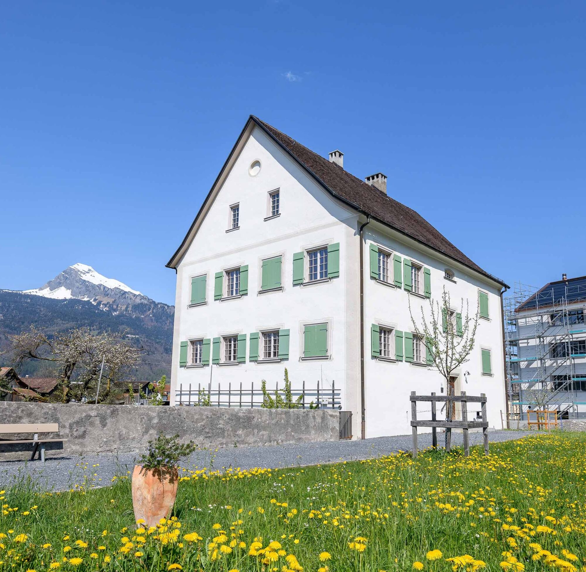
Säga Triesen
Fotografie našich používateľov
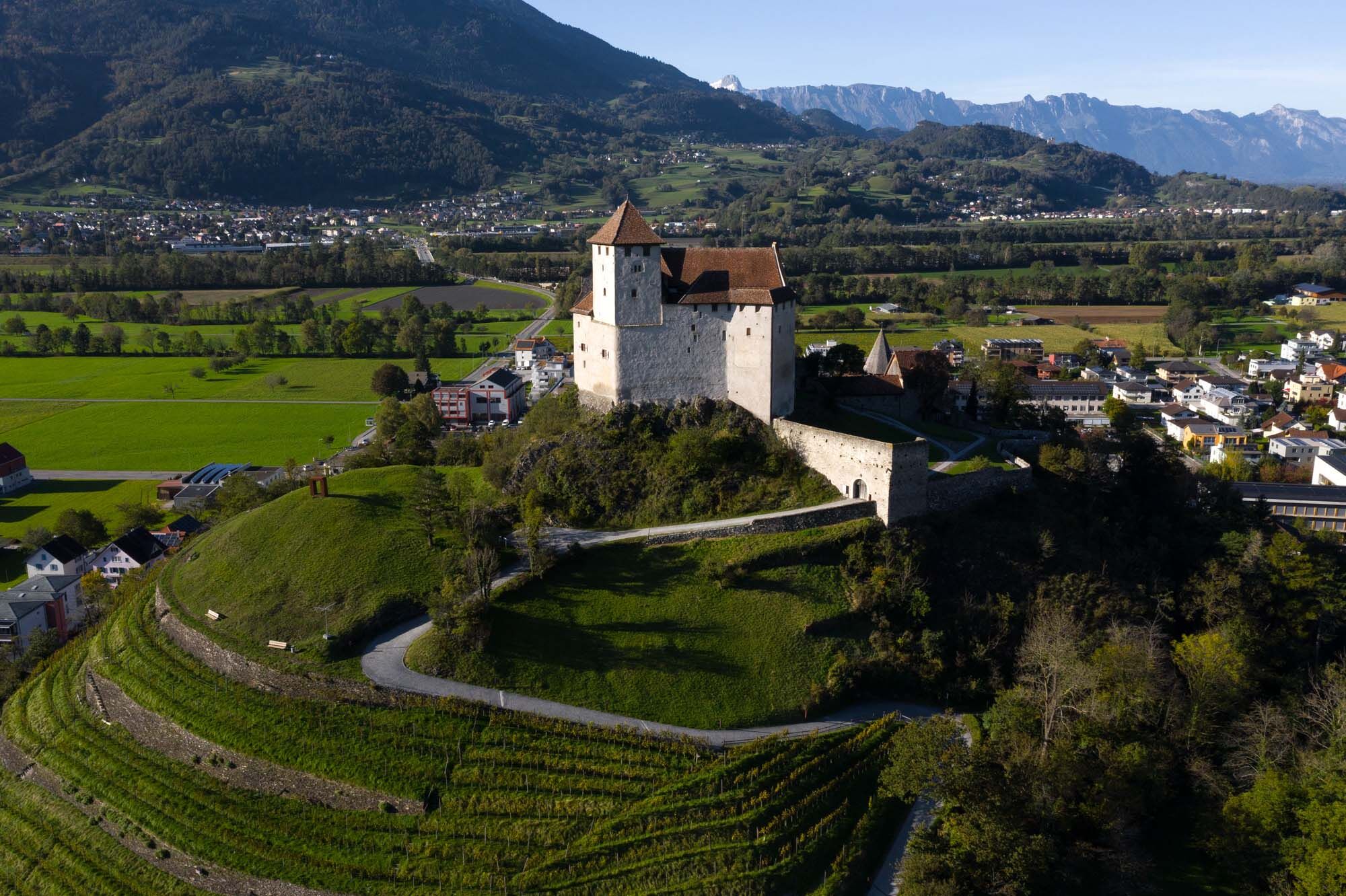
Along the long meadows to Balzers, on the eastern edge of the village to the Allmeind with a magnificent view of Gutenberg Castle and nearby Switzerland, then gently ascending to the Wälderle and at the...
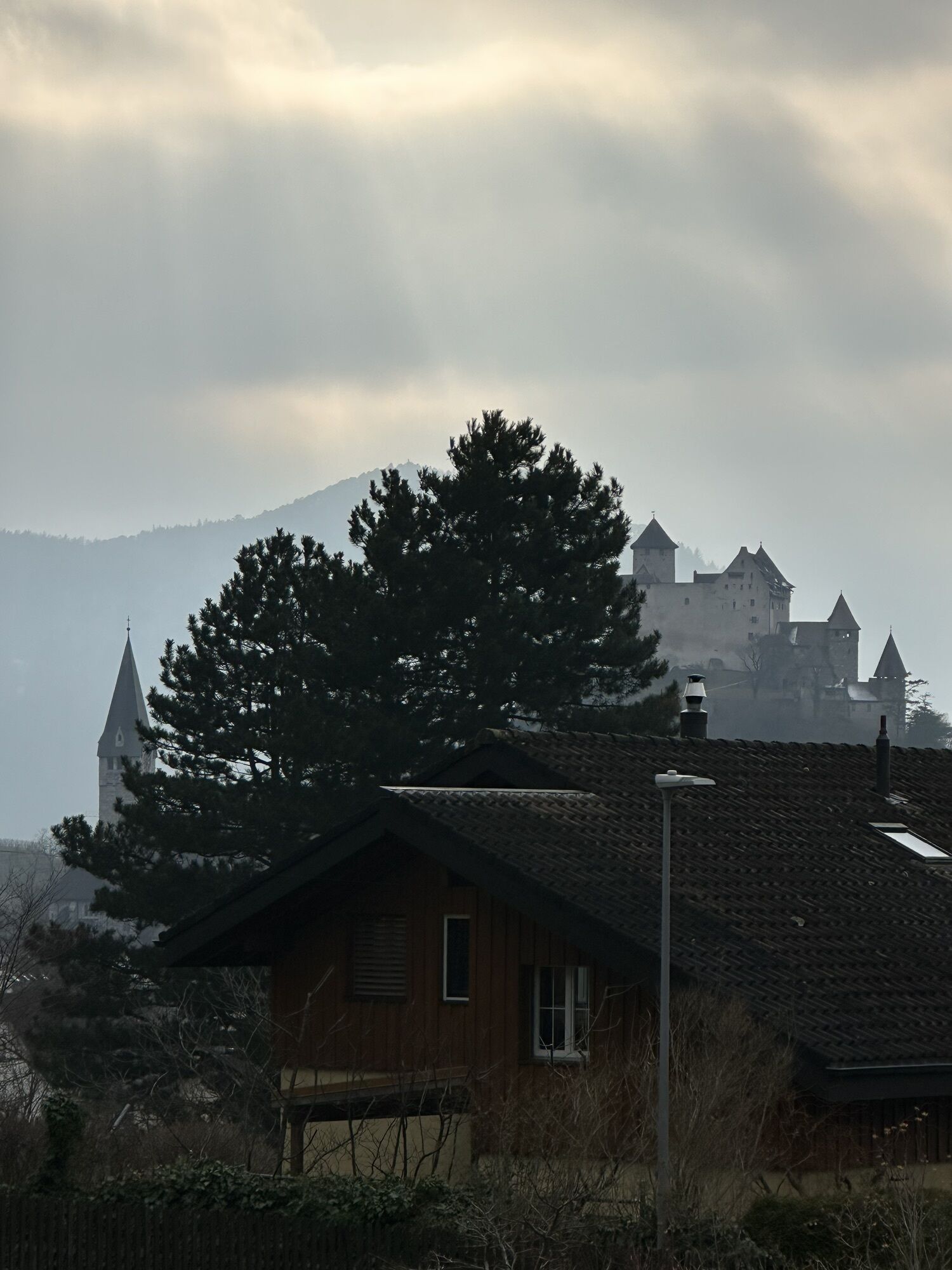
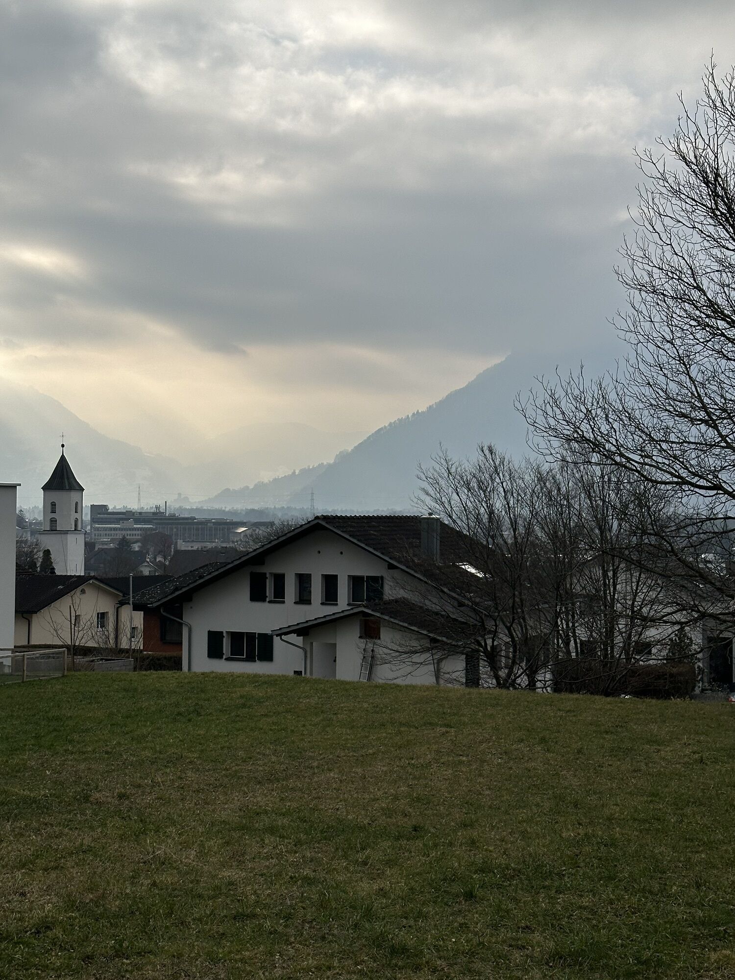
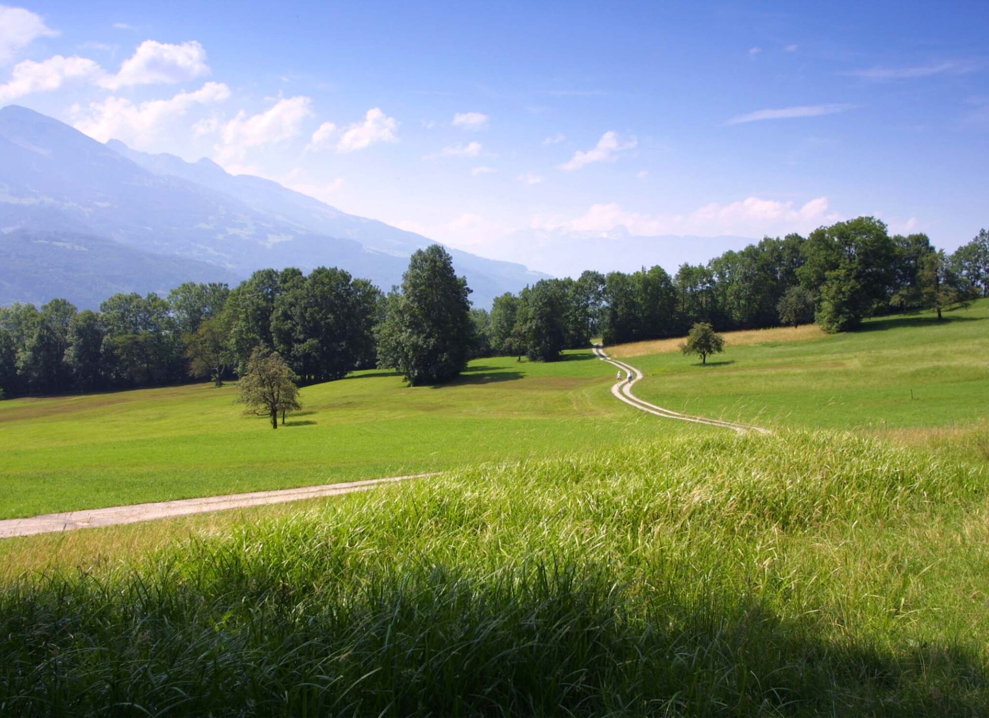
Along the long meadows to Balzers, on the eastern edge of the village to the Allmeind with a magnificent view of Gutenberg Castle and nearby Switzerland, then gently ascending to the Wälderle and at the foot of the Mittagspitze via the Refugee Path to the legendary Lawenatobel and back to Säga.
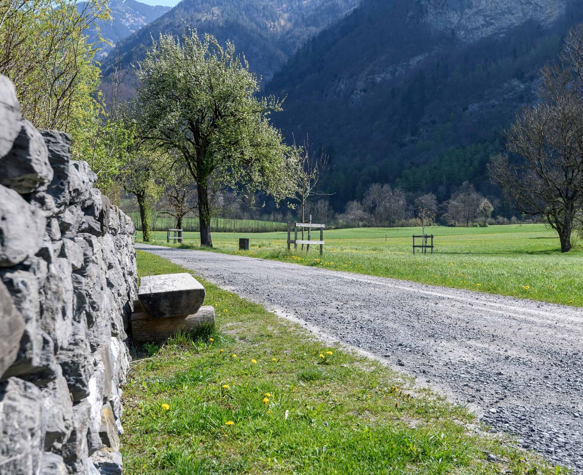
On the Balzers Allmeind we admire many gnarled beeches. From the Wälderle we follow the trail and enjoy the bright spring flowers. In summer we discover the fragrant cyclamens, the so-called "rabbit ears". After the Tobel bridge, about 50 m above the path, stands the memorial "Three Crosses".

Säga Triesen - Allmeind - Balzers - Wälderle - Lawenatobel - Säga Triesen
Áno
To embark on a route, careful planning is required. We recommend exchanging information in advance with the local information centers about the trails and weather conditions. Depending on the season and weather conditions, this route may be closed or interrupted.
There are plenty of parking spaces at Säga Triesen.
A hike for all four seasons in the valley area.
Family tip: Visit the nearby Robinson playground with barbecue area in Triesen.
Obľúbené výlety v okolí
-
3,8
Sassweg - von Malbun zum Sass-Seelein
Turistika 4,14 km -
3,7
Fürstin-Gina-Weg
Turistika 10,7 km -
4,6
To the summit cross of the Alpspitz
svetloTuristika 6,27 km -
4,8
From Malbun to the Schönberg
strednáTuristika 12,4 km -
3,7
5-Seen-Wanderung - DER KLASSIKER
ťažkéTuristika 9,70 km -
3,5
Fürstensteig-Drei Schwestern
Turistika 12,9 km -
4,7
Alvier
strednáTuristika 3,33 km -
4,8
Pizalun circular route
svetloTuristika 7,18 km -
3,3
Wanderbares Zalimtal
strednáTuristika 12,2 km -
4,5
Tamina Gorge Circular Route
strednáTuristika 14,0 km
Turistika a stopovanie


Nenechajte si ujsť ponuky a inšpiráciu na ďalšiu dovolenku
Vaša e-mailová adresa bol pridaný do poštového zoznamu.