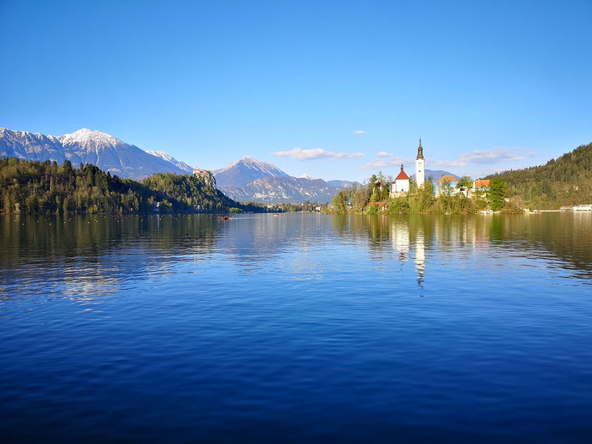
© Turizem Bled - Anja Šmit
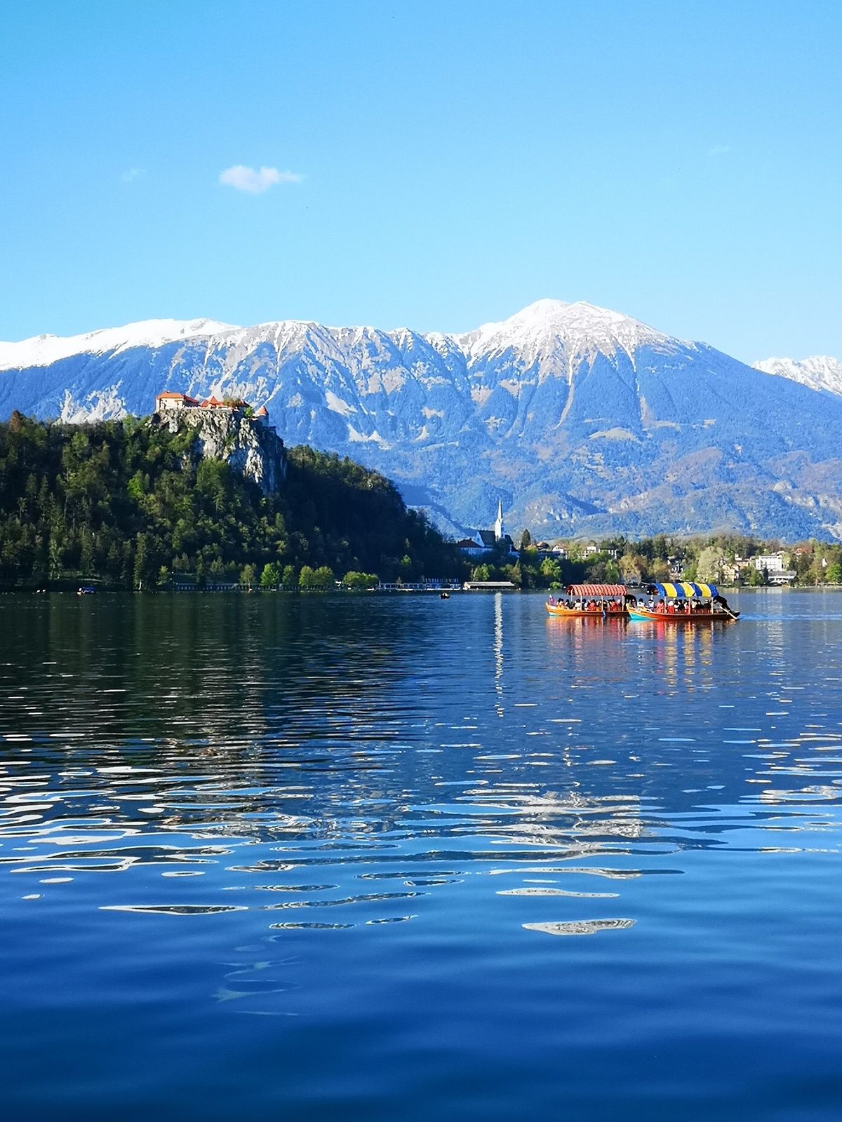
© Turizem Bled - Anja Šmit
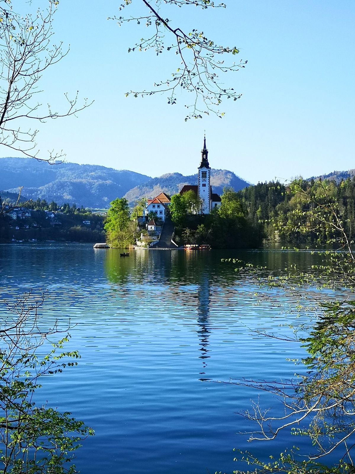
© Turizem Bled - Anja Šmit

© Turizem Bled - Anja Kikelj

- Stručný popis
-
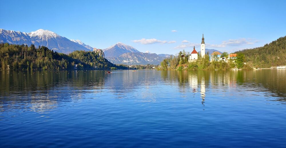
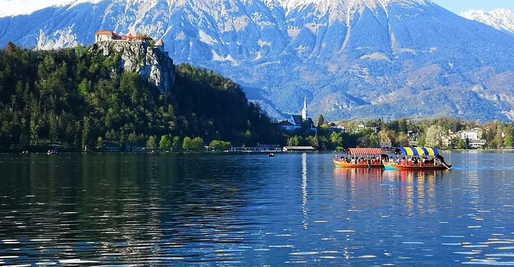
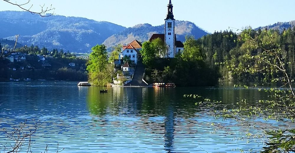
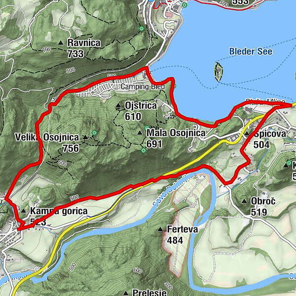
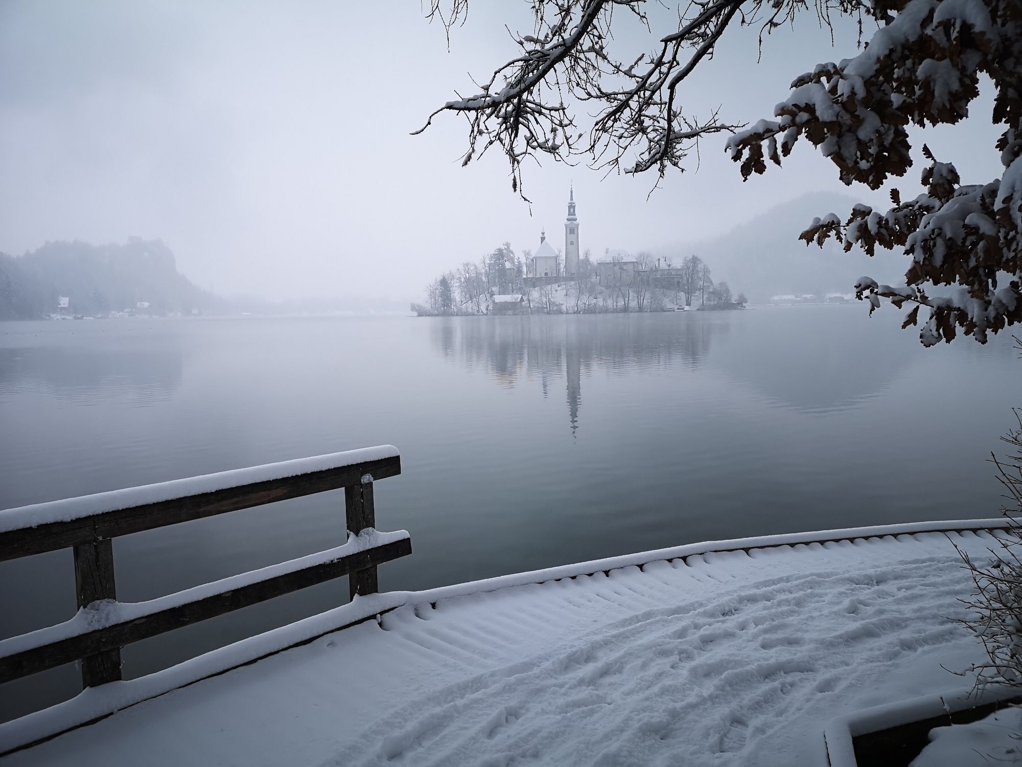
The path around Osojnica hill is the shortest path from Bohinjska Bela to the lake and bathing area. The path runs through the forest, and along the lake shore and the Sava Bohinjka River as well as across the fields.
- Obtiažnosť
-
stredná
- Hodnotenie
-
- Trasa
-
Restavracija Zaka Camping Bled2,4 kmŠpicova (504 m)4,5 km
- Najlepšia sezóna (ročné obdobie)
-
janfebmaraprmájjúnjúlaugsepoktnovdec
- Najvyšší bod
- 591 m
- Cieľová destinácia
-
Heart of the village of Bohinjska Bela (488m).
- Profil nadmorskej výšky
-
 © outdooractive.com
- Autor
-
Prehliadka Around Osojnica používa outdooractive.com na stránke ..
GPS Downloads


Všeobecné informácie
Liečivé podnebie
Flora
Fauna
S výhľadmi
Ďalšie prehliadky v regiónoch
-
Wörthersee - Rosental
1948
-
Gorenjska
141
-
Bled
209