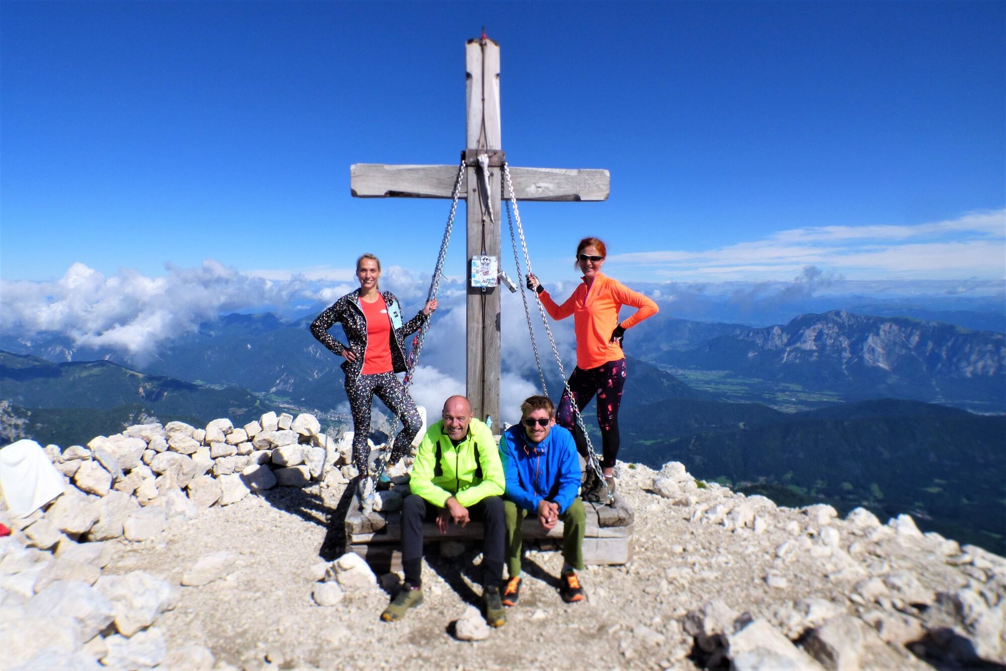
Mt. Mangart (2,679 m) along the Via Italiana and the Slovenska pot Trail


© Turizem Dolina Soce - Ksenija Vogrinc

© Turizem Dolina Soce - Ksenija Vogrinc

© Turizem Dolina Soce - Ksenija Vogrinc

© Turizem Dolina Soce - Ksenija Vogrinc

© Turizem Dolina Soce - Ksenija Vogrinc

© Turizem Dolina Soce - Ksenija Vogrinc

© Turizem Dolina Soce - Ksenija Vogrinc

© Turizem Dolina Soce - Ksenija Vogrinc

© Turizem Dolina Soce - Ksenija Vogrinc

© Turizem Dolina Soce - Ksenija Vogrinc

- Stručný popis
-
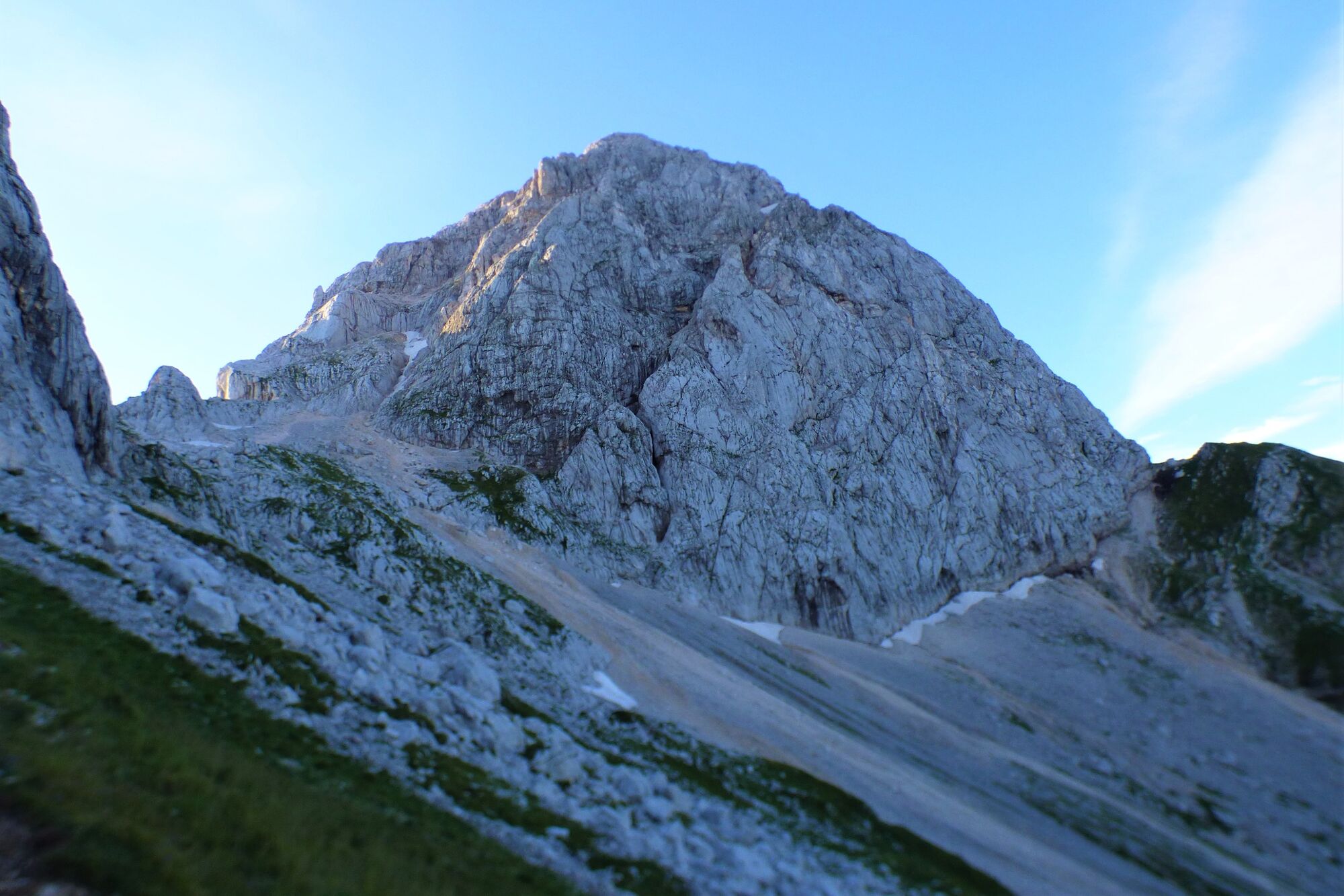
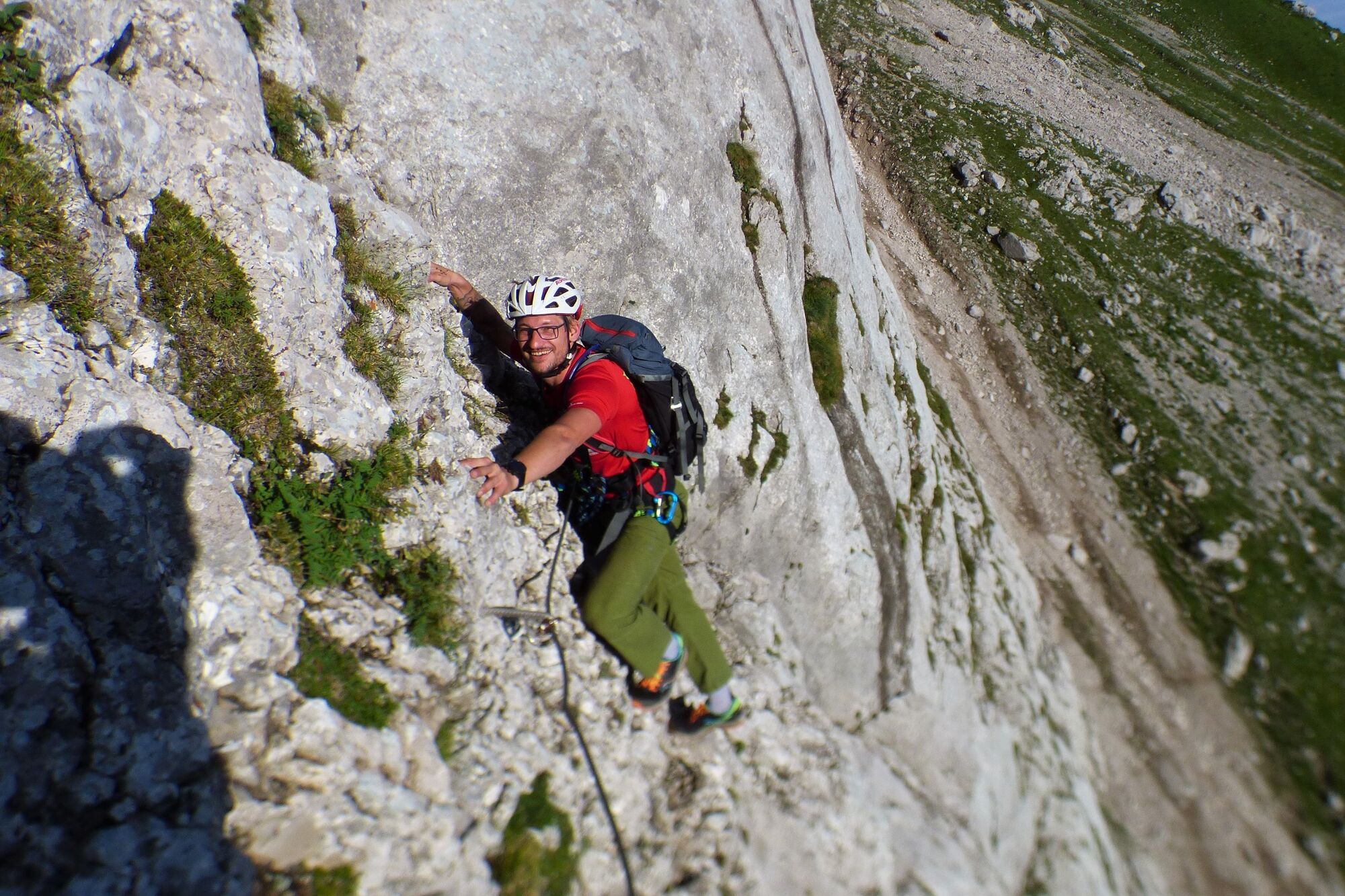
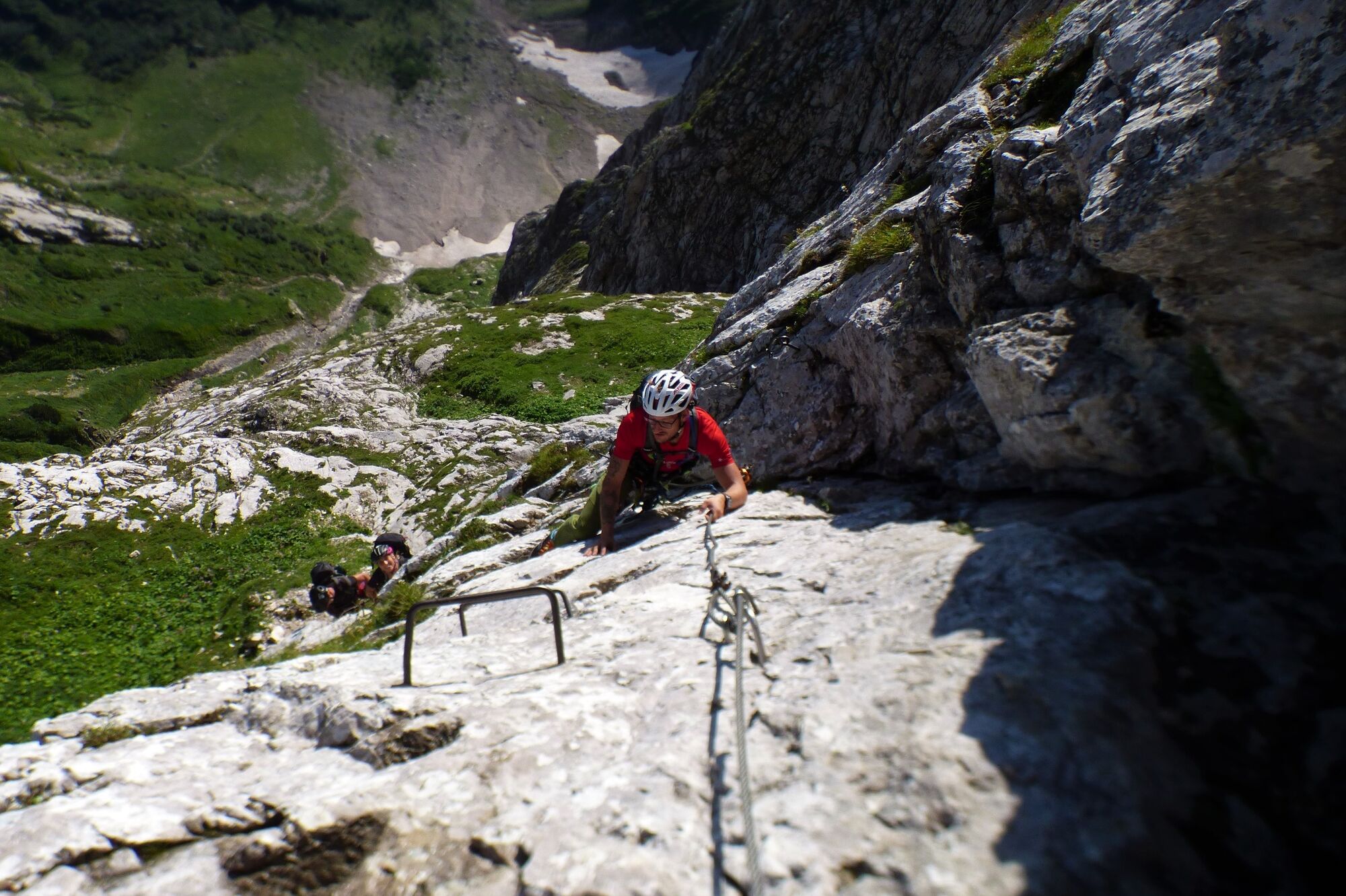
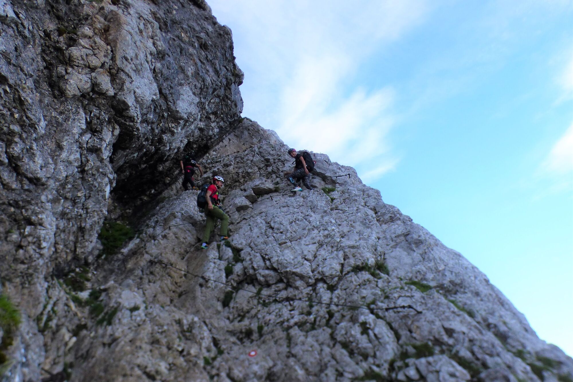
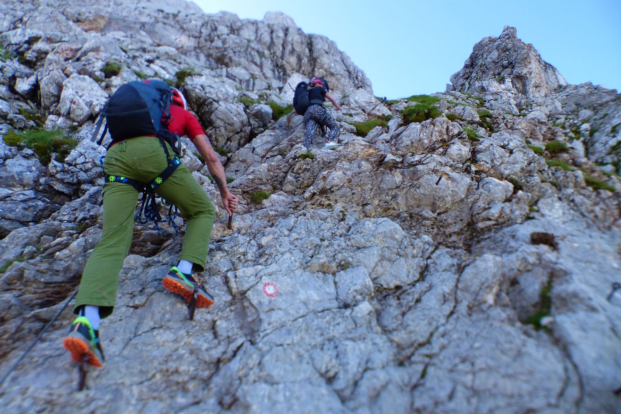
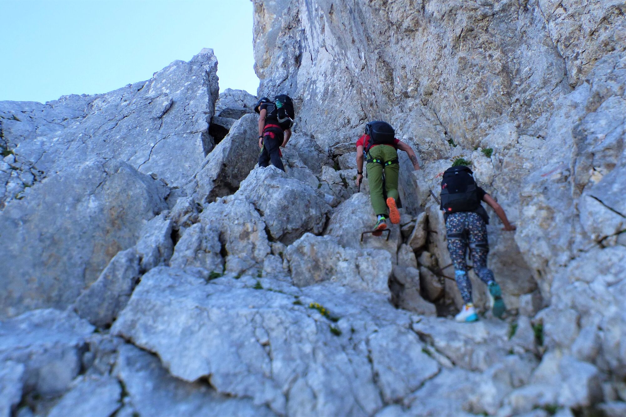
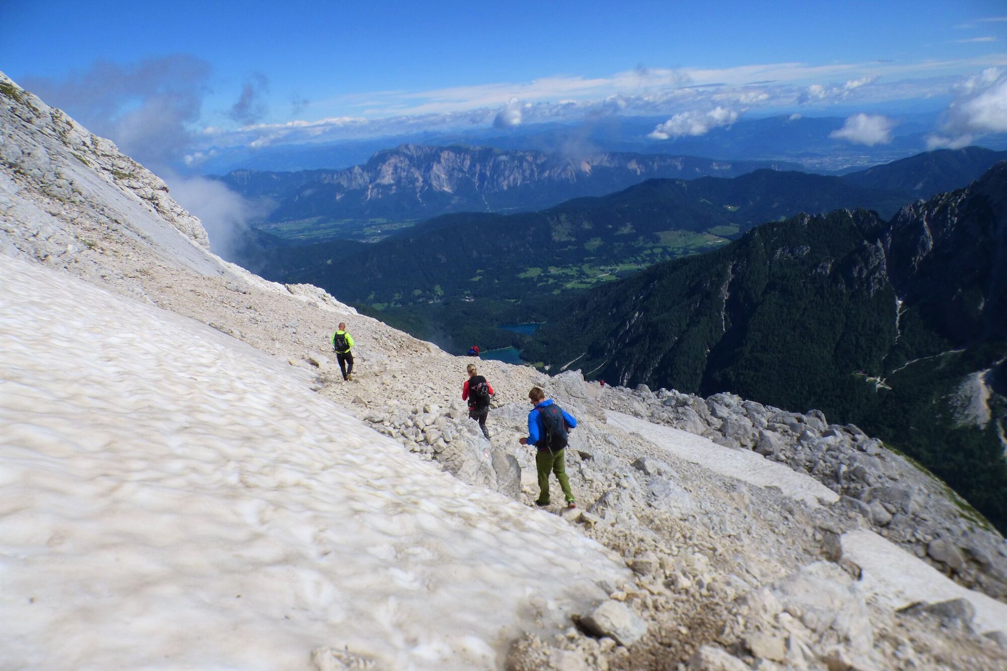
The ascent from the Mangart Mountain pass to the top of the marvellous Mt. Mangart along two unconnected secured trails is a thrilling experience which, however, requires basic knowledge of climbing such trails.
- Obtiažnosť
-
ťažká
- Hodnotenie
-
- Trasa
-
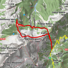
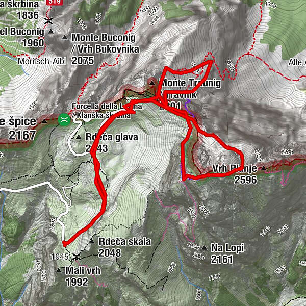
Kleiner Mangart (2.263 m)3,4 kmMangart (2.679 m)4,5 kmNa Drni (2.527 m)4,6 kmVrh Jarečice (1.981 m)7,3 km
- Najlepšia sezóna (ročné obdobie)
-
janfebmaraprmájjúnjúlaugsepoktnovdec
- Najvyšší bod
- 2.623 m
- Cieľová destinácia
-
Mt. Mangart (2,679 m)
- Profil nadmorskej výšky
-
 © outdooractive.com
-

-
AutorPrehliadka Mt. Mangart (2,679 m) along the Via Italiana and the Slovenska pot Trail používa outdooractive.com na stránke ..
GPS Downloads


Všeobecné informácie
Zasvätený tip
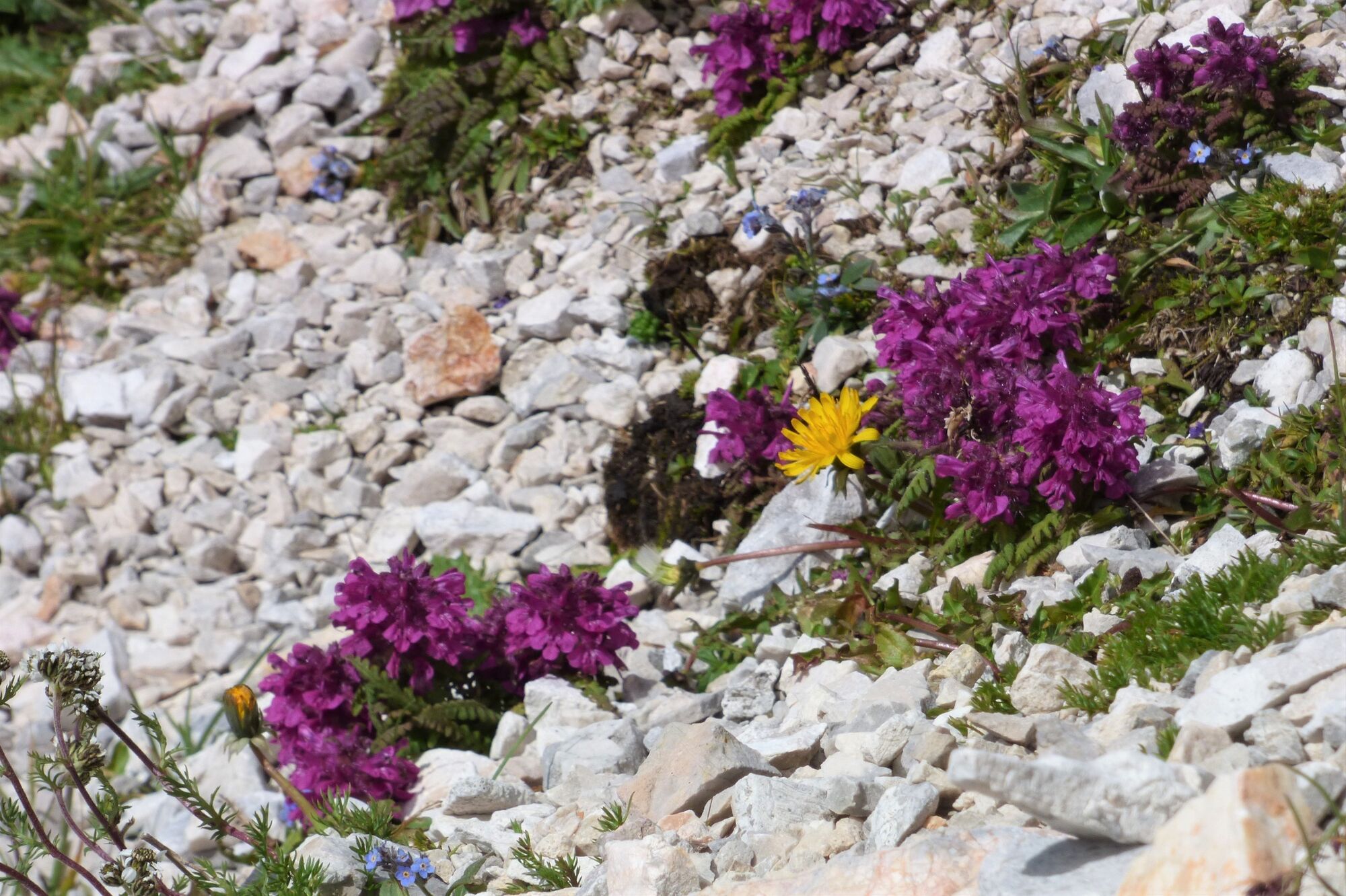
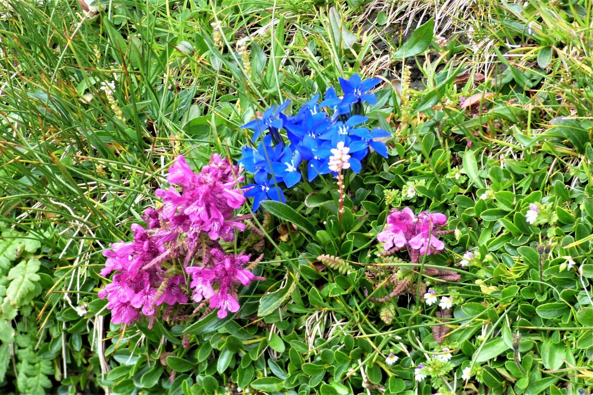
Flora
S výhľadmi
Ďalšie prehliadky v regiónoch