


Crossing the Vosges Mountains - Stage 8 - Urmatt - Schirmeck


Fotografie našich používateľov
-
 © Florent ToussaintVytvorené dňa 29.10.2022
 -
 © Florent ToussaintVytvorené dňa 29.10.2022
 -
 © Florent ToussaintVytvorené dňa 29.10.2022
 -
 © Florent ToussaintVytvorené dňa 29.10.2022
 -
 © Florent ToussaintVytvorené dňa 29.10.2022
 -
 © Florent ToussaintVytvorené dňa 29.10.2022
 -
 © Florent ToussaintVytvorené dňa 29.10.2022
 -
 © Florent ToussaintVytvorené dňa 29.10.2022
 -
 © Florent ToussaintVytvorené dňa 29.10.2022
 -
 © Florent ToussaintVytvorené dňa 29.10.2022

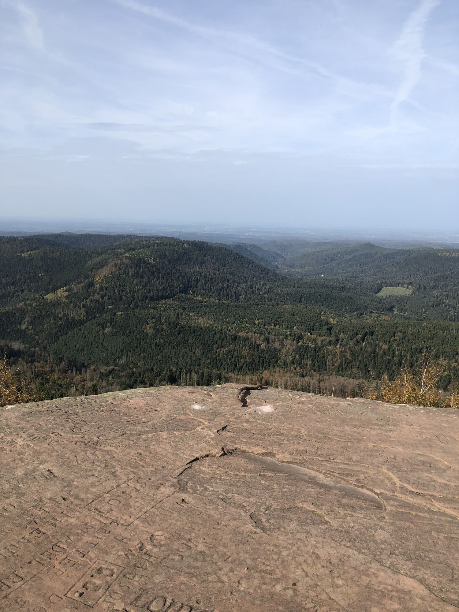
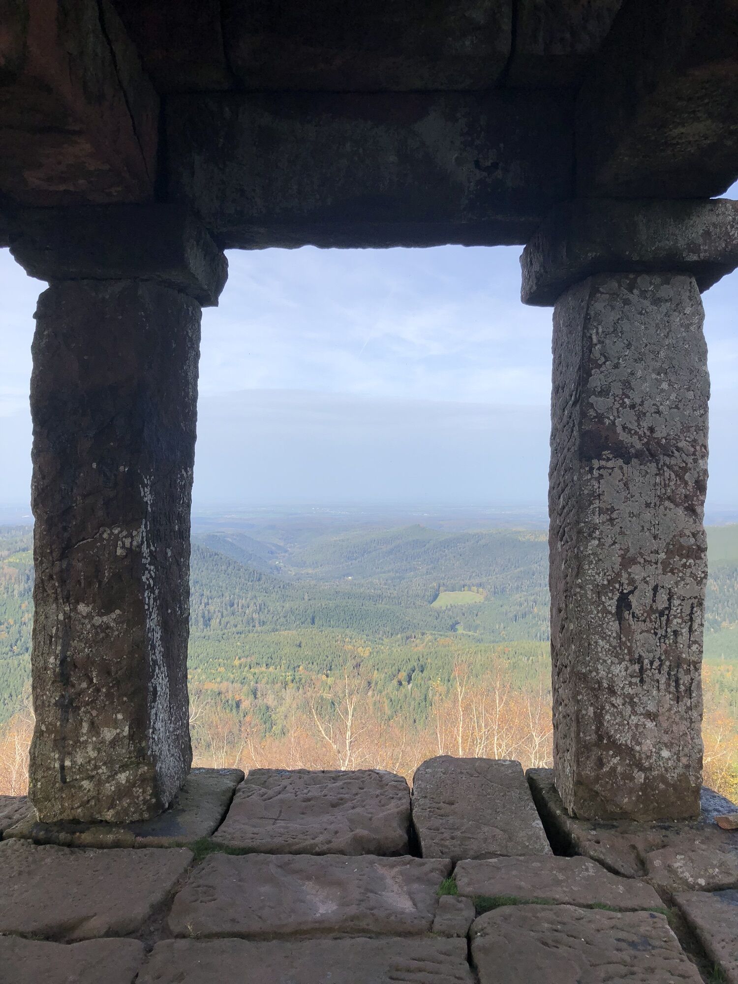
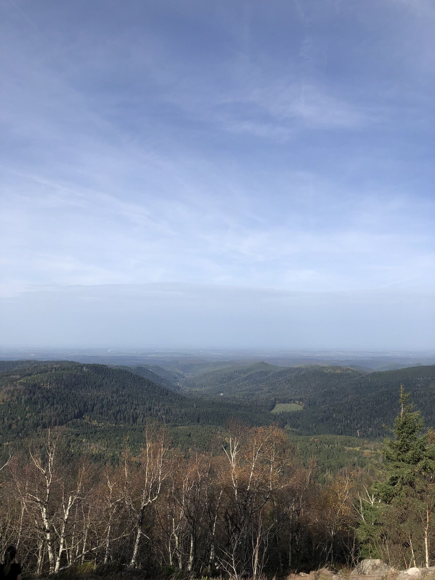
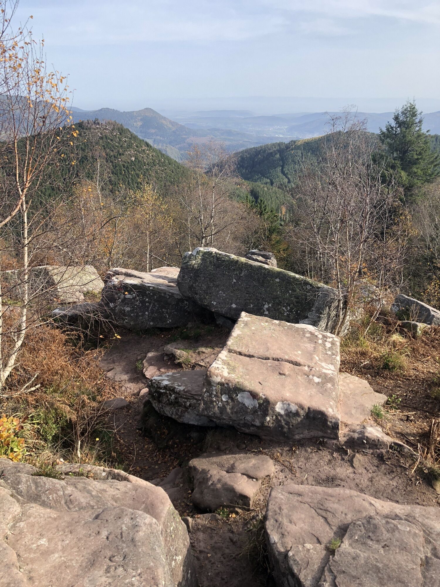
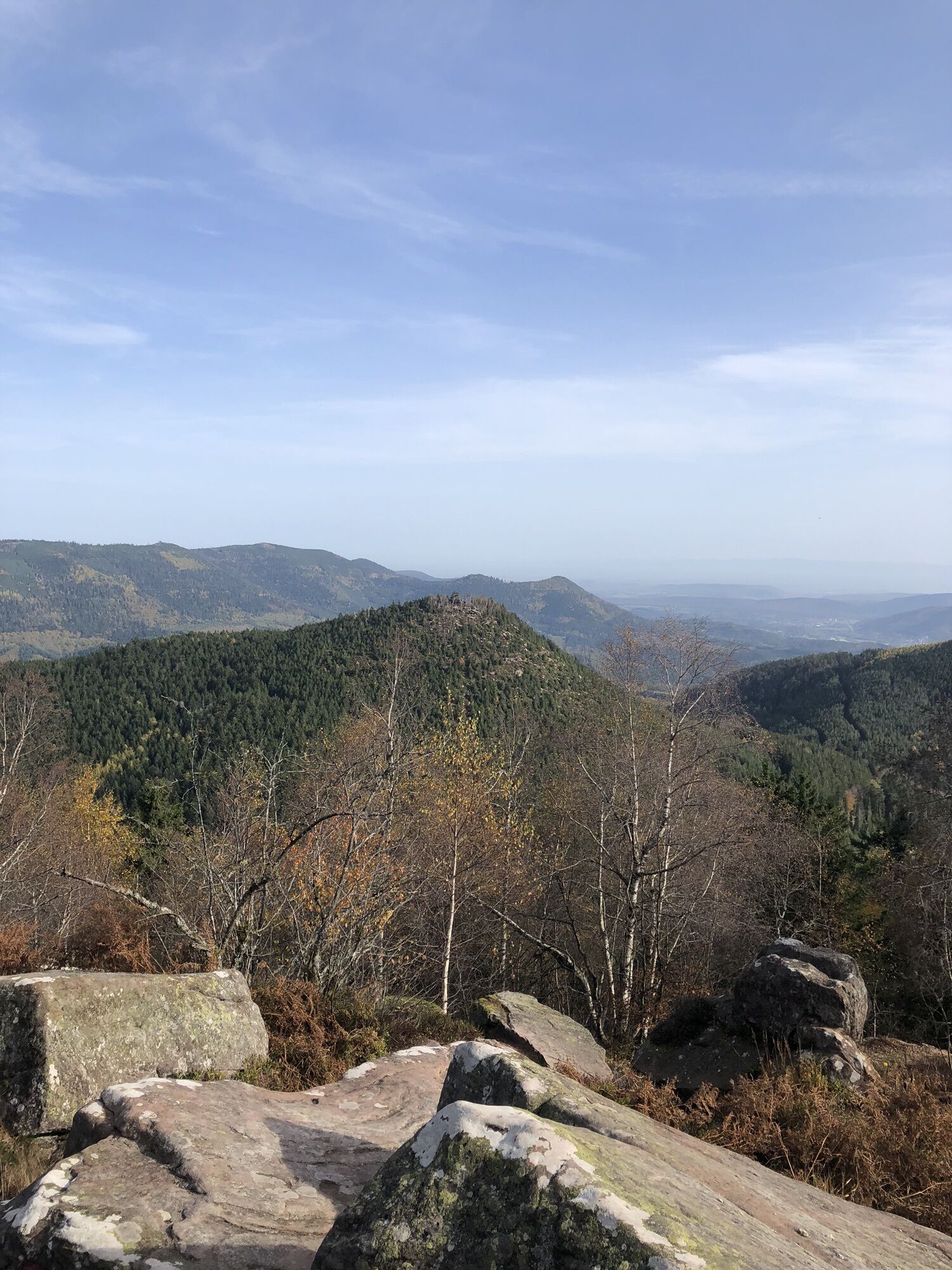
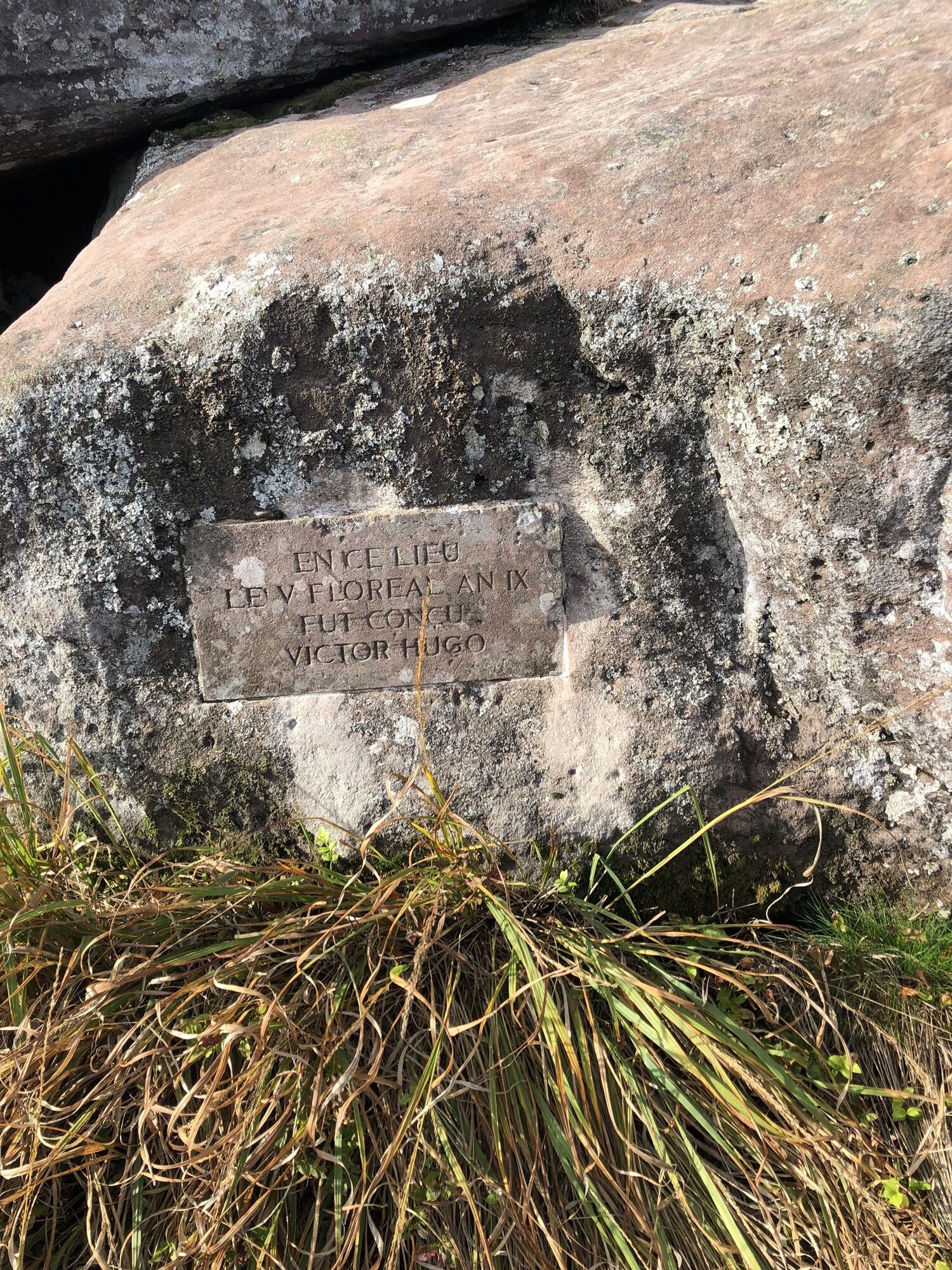
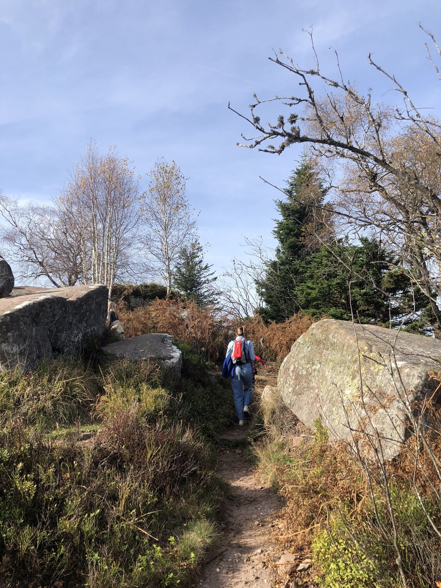
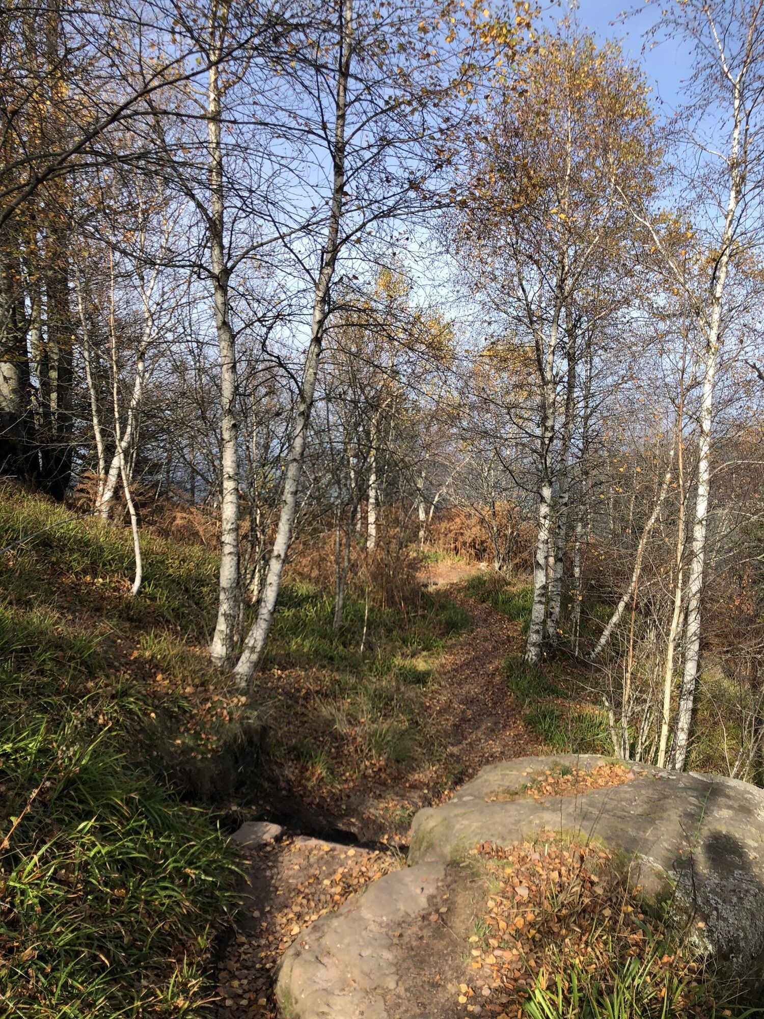
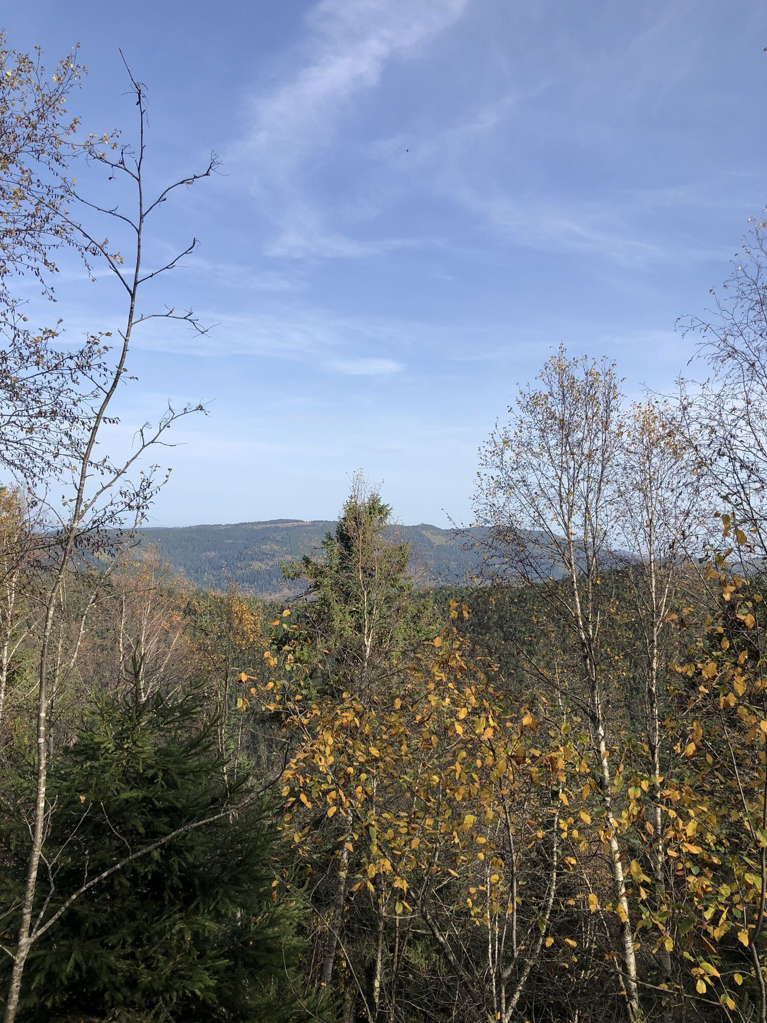
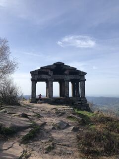
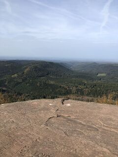
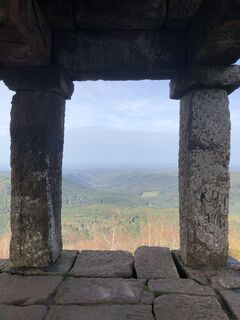
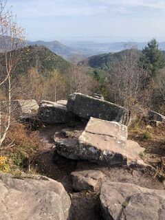
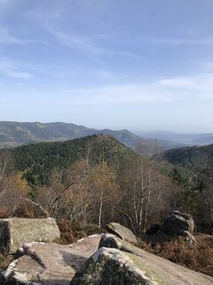
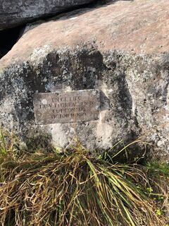
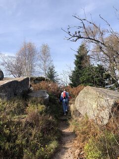
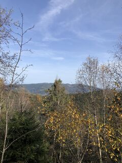
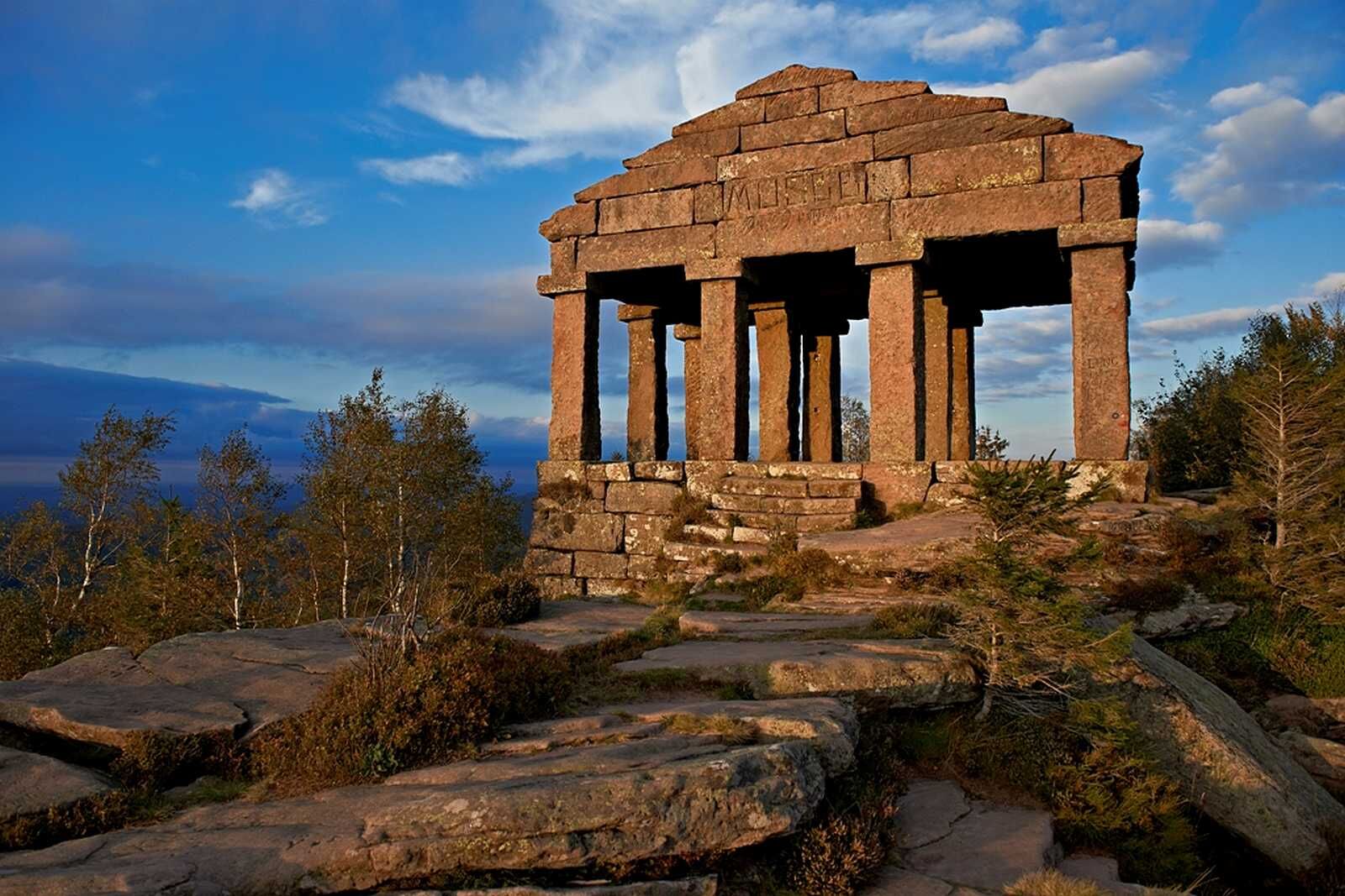
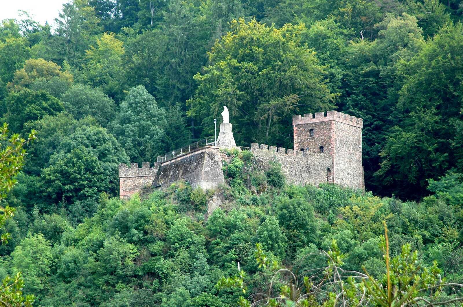
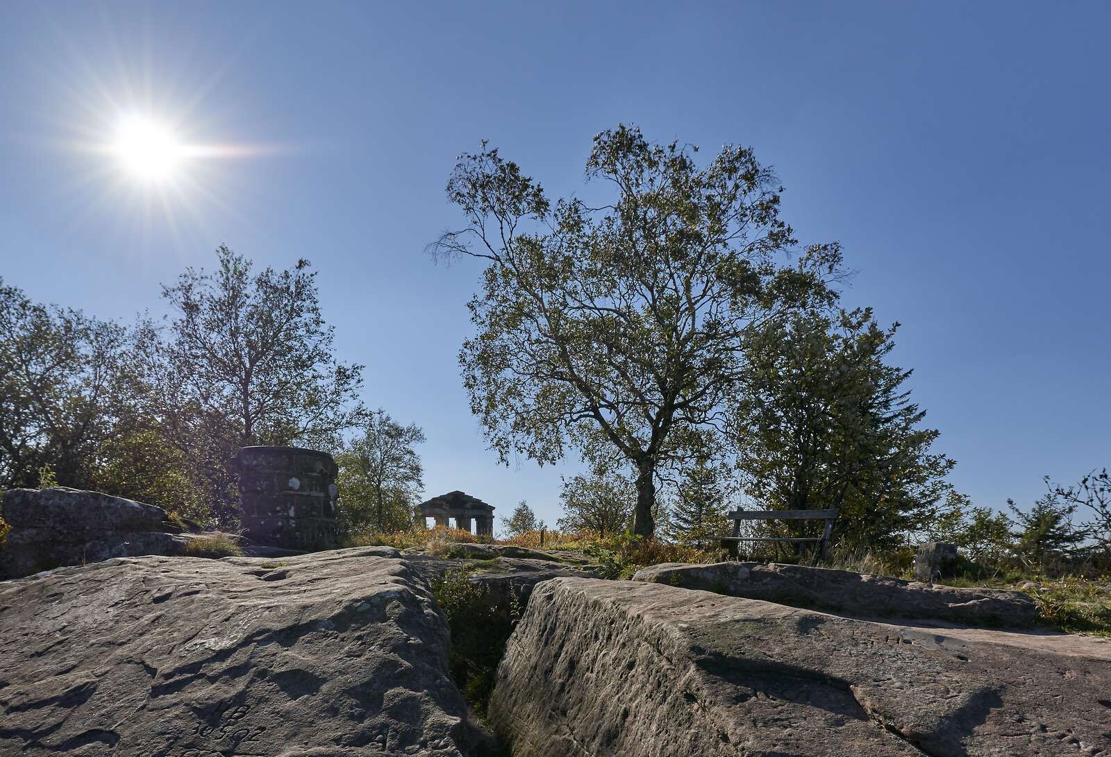
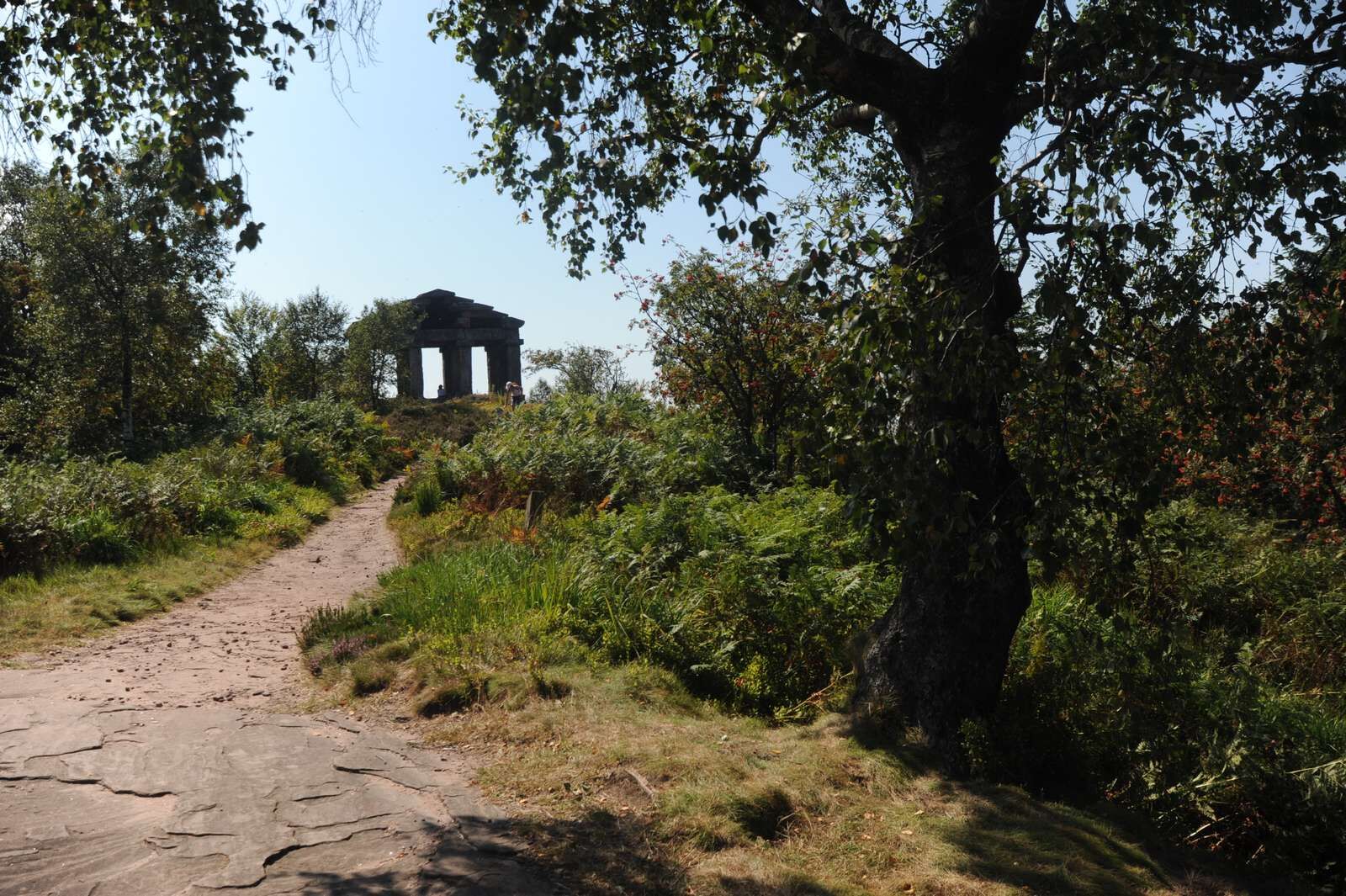
The path then climbs up to the summit of the Donon (1008 m) with a wide-open view to admire the surrounding area. The unique site features Gallo-Roman ruins, including a temple. The trail then heads down to Schirmeck.


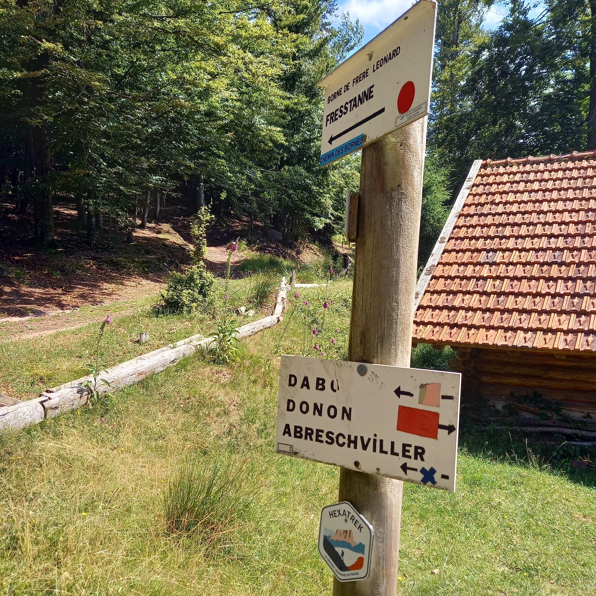
Red rectangle markings of the Club Vosgien (long-distance route GR® 53 then GR® 5 from the Col de l'Engin
Áno
Clothing adapted to the season and the conditions (cold, hot, wet…) Hiking shoes adapted to the terrain (even for children!) Hiking poles (useful for stability and to relieve the joints) Mobile phone and spare battery
Before leaving: Find out about the general and local weather, making sure there is no precipitation Find out about the approach walk, height of the route, travel time, possible escape (IGN map, GPS, topo -guide, etc…)Assess the possible risks by asking mountain professionals, refuges, gîtesInform someone close to you about your objective and contact them again in the event of a change: departure and return times, number of participants with the telephone number everyone, vehicle(s), parking Avoid leaving alone, use equipment that complies with the practice of the activity, adjusted and in good condition, headlamp, complete first aid kit, survival blanket, etc... In the event of a problem, call 112 (European emergency number)
Urmatt 67280
Accès en train très facile depuis la Gare TER Fluo d'Urmatt
Stationnement gratuit sur place (place de l'Eglise)
Take the time to visit the Alsace-Moselle memorial, retracing the history of its inhabitants and their destiny from 1870 to the present day. If you want to do this route in two stages, it is possible to stop at the Col du Donon. It is best to book accommodation before the hike in high season.
Obľúbené výlety v okolí
-
Family walk: Little Princes' routes in the Principality of Salm
svetloTuristika 6,28 km -
Family route: Around Belmont
strednáTuristika 6,36 km -
Tour du Champ du Feu
strednádiaľková pešia trasa 88,2 km -
Crossing of the Vosges Massif - Stage 07 - Wangenbourg-Engenthal - Urmatt
strednádiaľková pešia trasa 17,6 km -
Temple Donon & amazing view on the Vosges
svetloTuristika 2,64 km -
Temple du Donon
strednáTuristika 2,64 km -
Coucou pond to La Chatte Pendue
strednáTuristika 4,97 km -
Thematic path: From Memory to History
strednáTuristika 4,76 km -
Hiking Towards the Giants of Nideck - Symposium
strednáTuristika 6,54 km -
Hiking circuit D04: Southern fortified positions of Donon
strednáTuristika 12,0 km
Turistika a stopovanie


Nenechajte si ujsť ponuky a inšpiráciu na ďalšiu dovolenku
Vaša e-mailová adresa bol pridaný do poštového zoznamu.