© Massif des Vosges - @ Clemence CUNY

© Petr Pays de la Déodatie - Arnaud Cossin

© PETR du Pays de la Déodatie - Birgit BERNARD

© Communauté d'Agglomération de Saint-Dié -des-Vosges

© Massif des Vosges - OTVB S. Spach

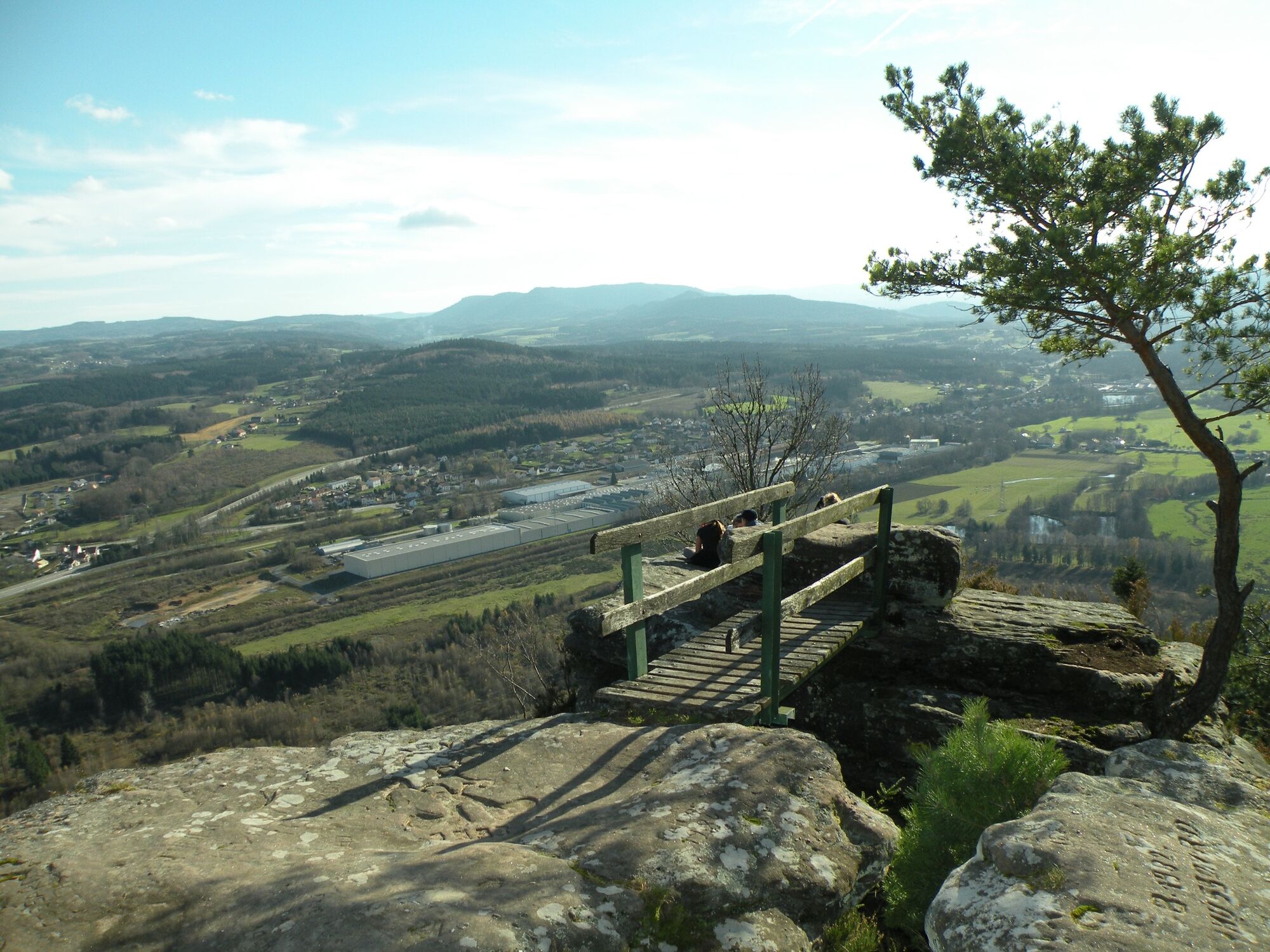
© Massif des Vosges - Office de tourisme de Saint-Dié-des-Vosges

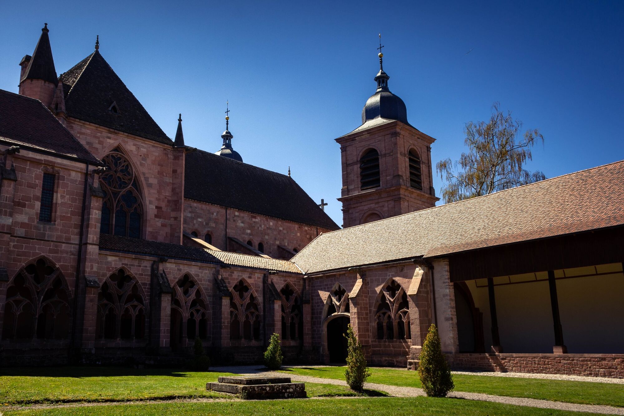
© Massif des Vosges - OTI Saint-dié-des-Vosges

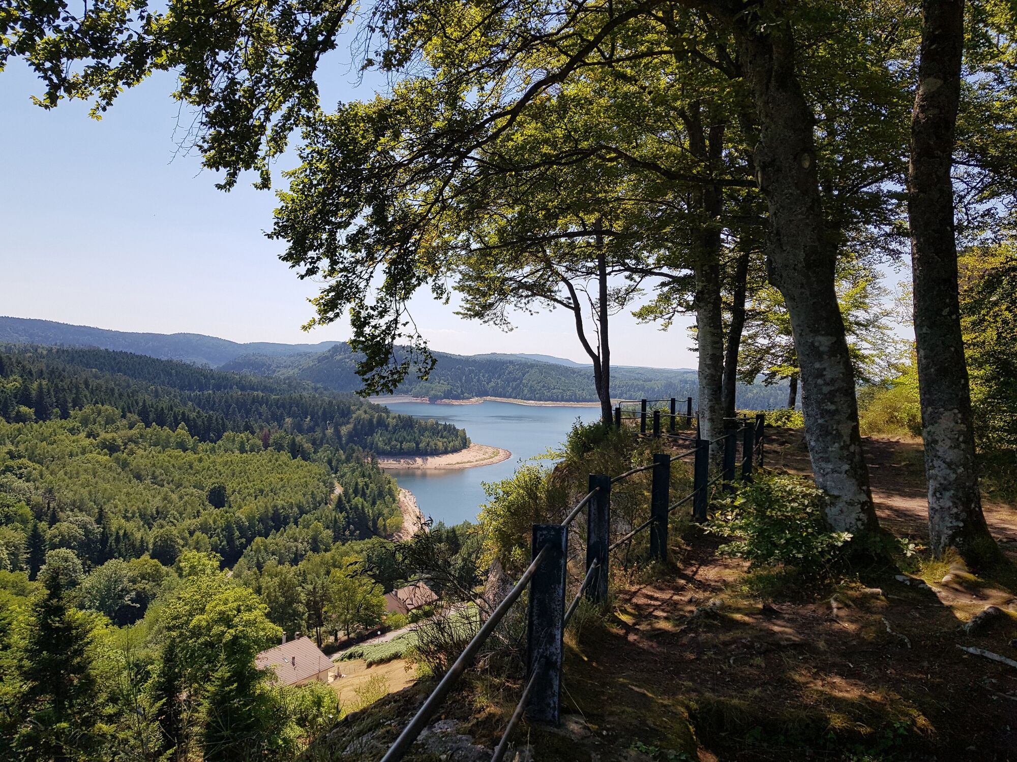
© Massif des Vosges - Sophie Speller

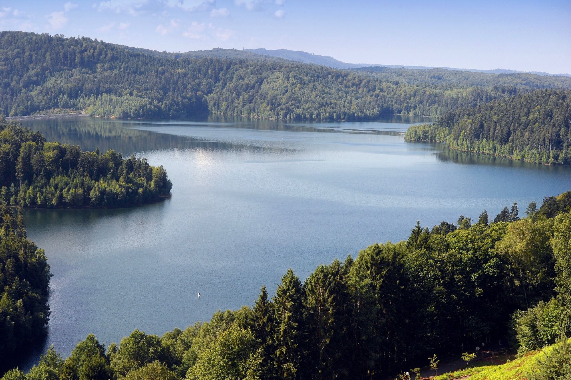
© Massif des Vosges - OTI Saint-dié-des-Vosges

© Wikimedia Commons - Gzen92

- Stručný popis
-
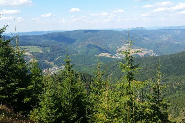
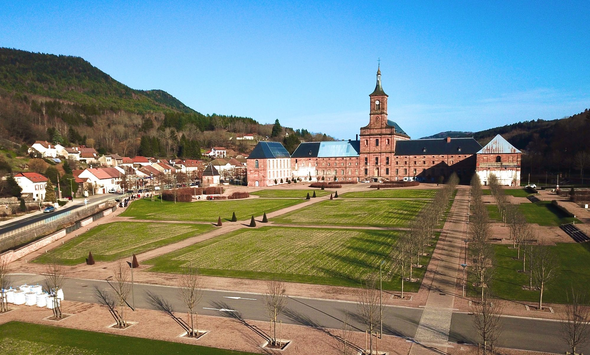
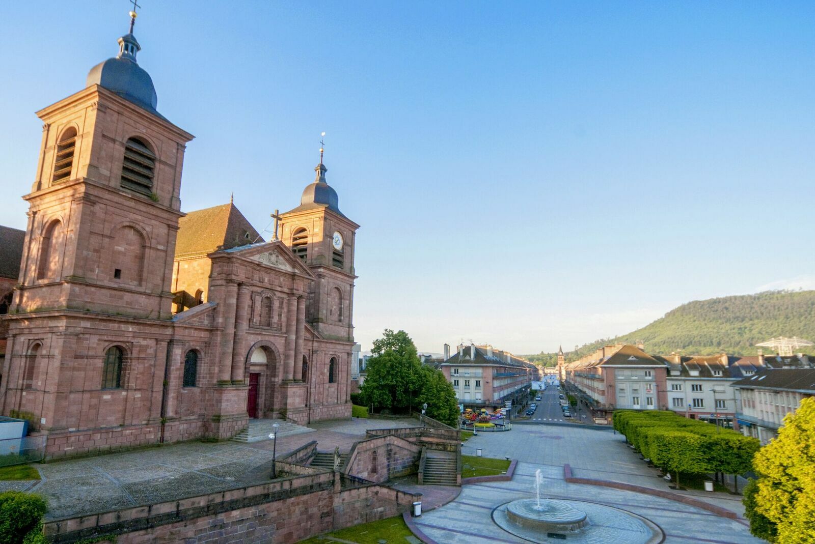
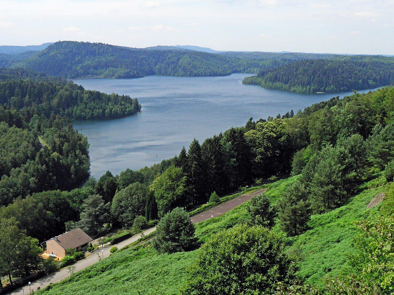
This route invites you to discover this part of the Vosges territory steeped in history and memory. Over the days, you will be transported to the heart of emblematic and mythical places. 7 days of walking (136 km) from Saint-Dié-des-Vosges
- Obtiažnosť
-
ťažká
- Hodnotenie
-
- Trasa
-
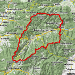
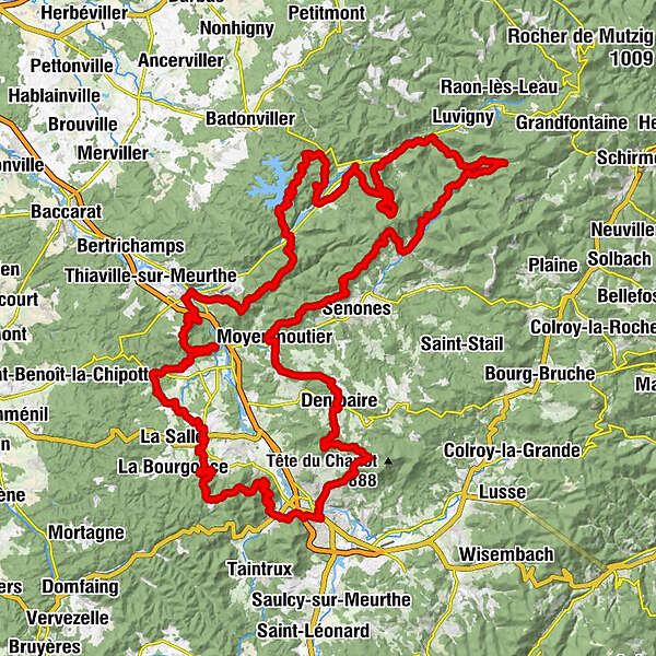
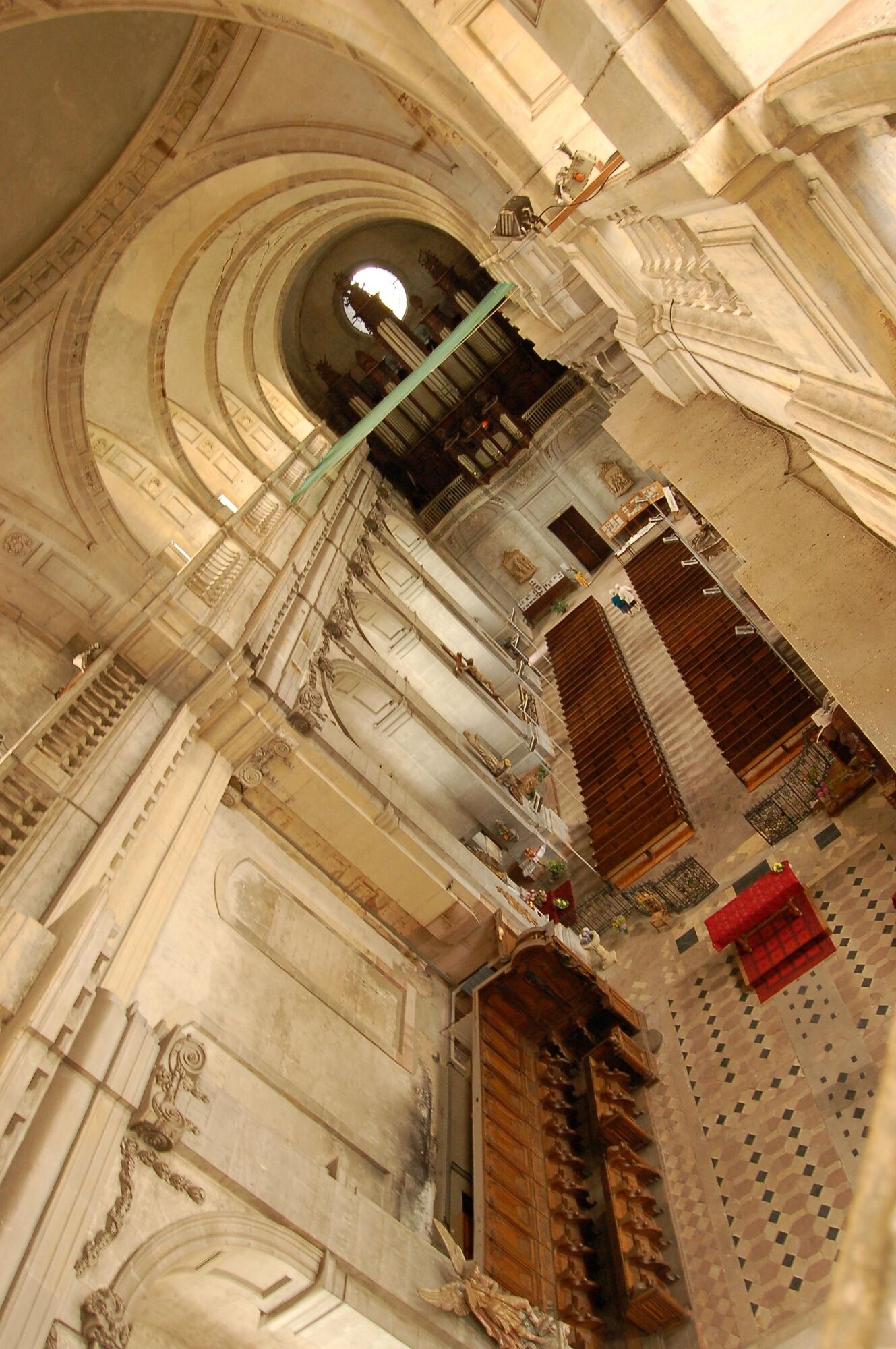
Sankt DidelSaint-Dié-des-Vosges0,0 kmLa Bolle3,3 kmCarrefour du Bihay (421 m)5,2 kmTournant Bazelaire5,4 kmLa Chaise du Roi5,8 kmLe Pas de l'Âne6,0 kmRoches du Bihay6,7 kmTête de la Biche (645 m)7,2 kmRoche de la Biche7,4 kmCol des 4 chemins13,0 kmNompatelize19,8 kmÉglise Saint-Epvre20,3 kmSaint-Remy23,9 kmLe Talin25,0 kmLa Pierre d'Appel (492 m)32,3 kmRoche du Renard (575 m)36,6 kmRaon-l'Étape40,7 kmLes Jardins du Bailly41,4 kmCol de Croix Collé (618 m)46,8 kmLes 2 Gros57,6 kmLangstein57,6 kmÉglise Saint-Gengoult57,7 kmGrotte des Poilus60,9 kmLa Menelle64,9 kmÉglise Saint-Pierre et Saint-Paul65,1 kmCelles-sur-Plaine65,2 kmBionville78,8 kmÉglise Saint-Léonard78,9 kmAllarmont79,1 kmAuberge de la Maix81,9 kmVexaincourt81,9 kmLes Neufs Meix-Ouest82,2 kmLes Neufs82,3 kmHabremelle82,6 kmHaut du Bon Dieu90,3 kmJardin de David92,1 kmMoussey97,5 kmCol de Dialtrepoix (667 m)102,2 kmLe Fourneau (637 m)104,5 kmLes Quatre Bancs (580 m)105,3 kmMoyenmoutier113,1 kmDenipaire120,6 kmAux Zillés120,6 kmChez les Fonfons120,7 kmCol du Bon Dieu (560 m)125,5 kmLes Molières127,9 kmCascade des Molières128,0 kmFontaine Fachot130,5 kmPépinière du Paradis131,1 kmSaint-Dié-des-Vosges133,7 kmÉglise Saint-Martin134,1 km
- Najlepšia sezóna (ročné obdobie)
-
janfebmaraprmájjúnjúlaugsepoktnovdec
- Najvyšší bod
- 804 m
- Cieľová destinácia
-
Saint-Dié-des-Vosges
- Profil nadmorskej výšky
-
 © outdooractive.com
-

-
AutorPrehliadka The GR® of Pays de la Déodatie (North Loop) používa outdooractive.com na stránke ..
GPS Downloads


Všeobecné informácie
Flora
Fauna
S výhľadmi
Ďalšie prehliadky v regiónoch
-
Vosges
364
-
Saint-Dié-des-Vosges
483