


Sassauna - Descent Schiers


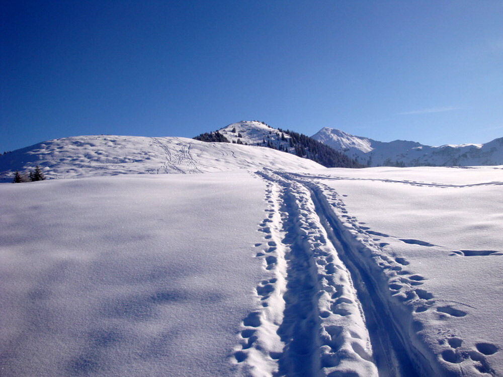
Thanks to the cable car to 'Eggli' (Fanas cable car), Sassauna (2308 m above sea level) is easily accessible. From the mountain station of the cable car, you first ascend over Ochsenberg at a comfortable...
Thanks to the cable car to 'Eggli' (Fanas cable car), Sassauna (2308 m above sea level) is easily accessible. From the mountain station of the cable car, you first ascend over Ochsenberg at a comfortable incline, becoming steeper from about 2000 m above sea level. It is possible to follow the SSW ridge or ascend further eastwards on the flank. The steeper summit slopes form the key section of the route and are challenging before you are rewarded with a magnificent summit panorama atop Sassauna (2308 m above sea level).
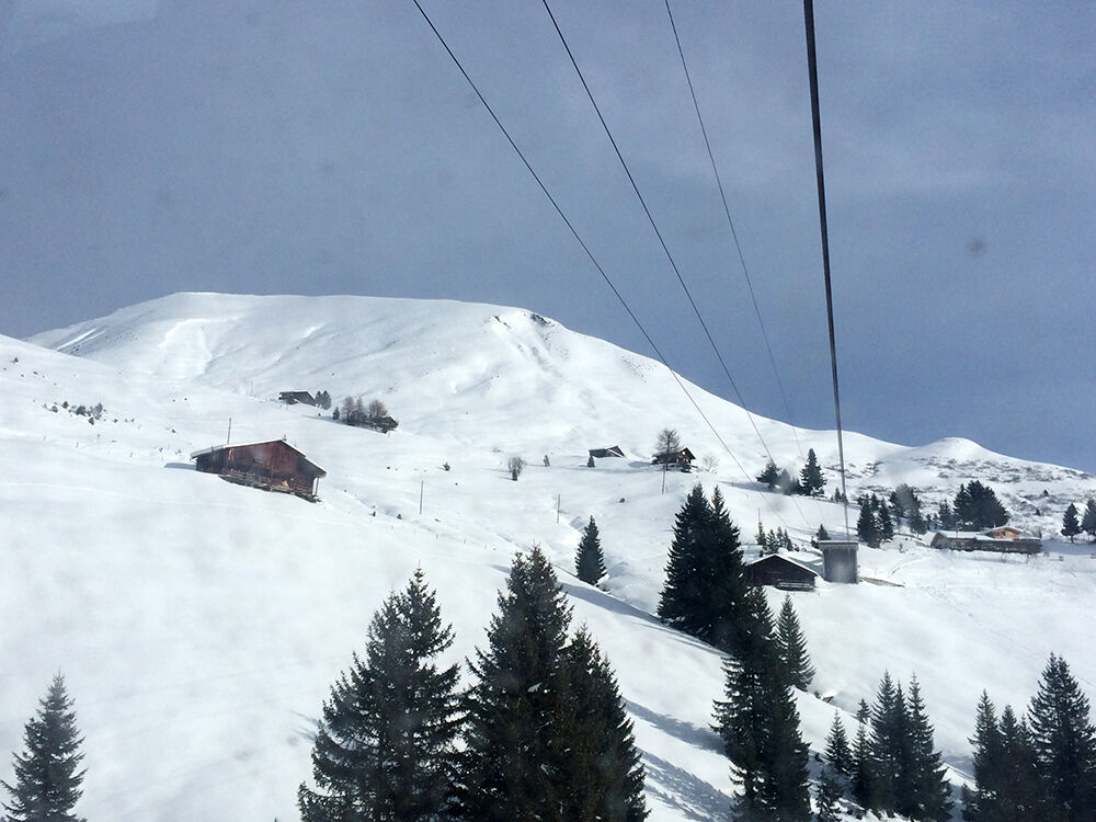
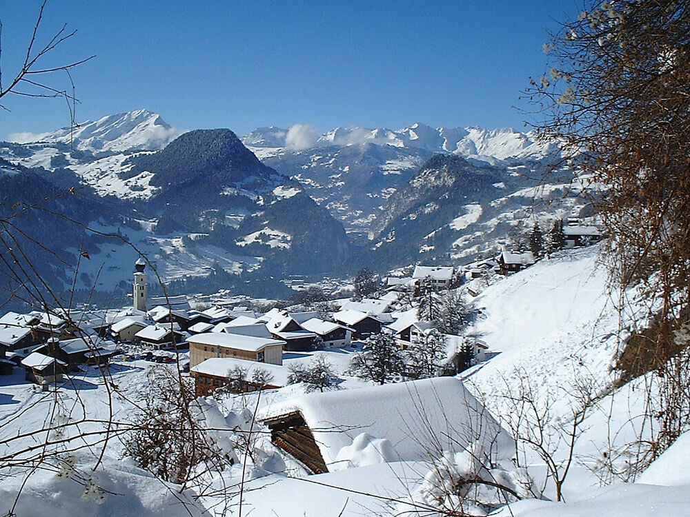
Descent to Schiers: From the summit to about 2000 m above sea level, follow the ascent route, then heading right (eastwards) to the huts of Huoben (approx. 1720 m above sea level). Now descend southwards over partly open, partly wooded terrain quite steeply and continue via Sponda or Spinis to Lasein (1076 m above sea level, cleared road up to here). Further across the open slopes of Marier Berg towards Montagna and Schiers.
Alternative: Descent to Fanas

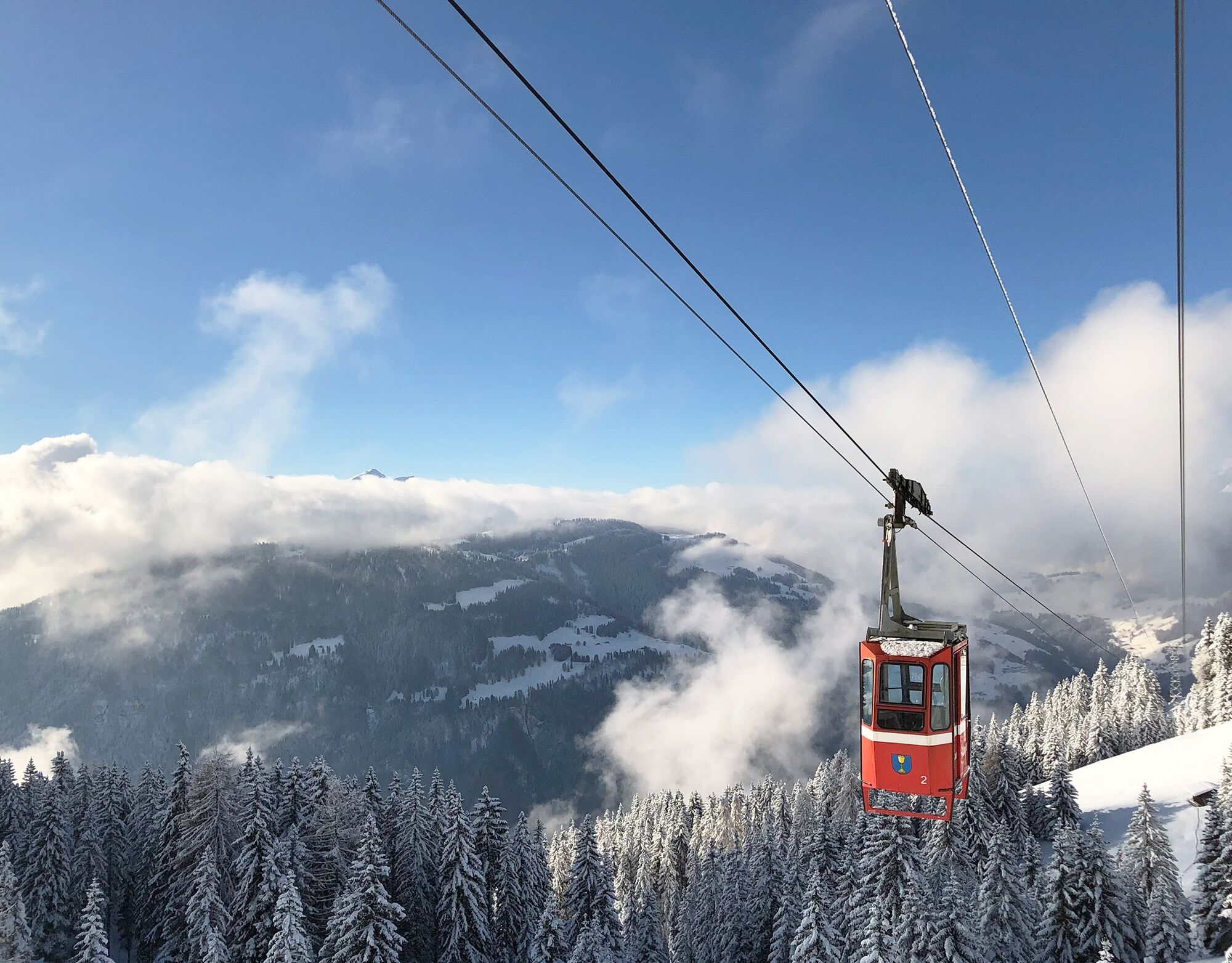
Valley station cable car Fanas - Eggli (mountain station, 1700 m above sea level) - Ried - Tschafiel - Grappalazär - Sassauna (2307 m above sea level)
Áno
Áno
Complete safety equipment (avalanche transceiver, avalanche shovel, avalanche probe, mobile phone) and knowledge of the correct handling are essential.
The ski and snowshoe routes are to be understood as general directional indications. Depending on the conditions, ascent and descent routes must be adjusted. No guarantee is given for the accuracy, completeness, and up-to-dateness of the information.
Ski touring in open terrain is at your own risk. Every tourer is strongly advised to prepare thoroughly, plan routes, and obtain current information on snow and avalanche conditions. Avalanche report and snow info: www.slf.ch
Any liability for accidents resulting from the use of the published information and route details is rejected.
In case of doubt, have experienced tourers or a mountain guide accompany you: www.praettigau.info/bergfuehrer
Via the A13 motorway and then the N28 national road to Grüsch. In Grüsch, turn towards Fanas.
Depending on the day of the week and time, take the Rhaetian Railway (RhB) to Grüsch or Schiers (timetable 910 or 941) and then the Postbus to Fanas (timetable 90.203 from Grüsch or 90.211 from Schiers).
Free parking for 12 hours at the valley station of the cable car. If you wish to leave your car longer, please contact the cable car staff.
Prättigau Marketing
Fieldway 19
CH-7233 Jenaz
Tel. +41 (0)81 325 11 11
info@praettigau.info
praettigau.info
Enjoy a fine "Plättli" or a breakfast coffee at the mountain inn Sassauna near the mountain station.
Webové kamery z prehliadky
Obľúbené výlety v okolí
-
4,7
Smuggler’s path
strednáTematická trasa 8,60 km -
5,0
Douglasshütte, Lünersee, Gafalljoch Brand bei Bludenz, Vorarlberg
svetloTuristika 9,16 km -
4,4
Golm-Rundwanderweg im Rätikon
strednáTematická trasa 7,28 km -
4,5
Fürstin-Gina-Weg
strednáTuristika 12,0 km -
5,0
Ski tour to the Lindauer Hut (1,744 m)
svetloSkitour 14,0 km -
4,3
Golmer, Höhenweg und Golmer Seenrundweg
strednáHorská turistika 7,62 km -
4,8
Pizalun circular route
svetloTuristika 7,18 km -
4,8
From Latschau through the Gauertal to the Lindauer Hütte
strednáSnežnice 14,0 km -
3,5
Golmer Höhenweg
strednáTuristika 13,8 km -
5,0
Schesaplana (15.07.2018)
ťažkéTuristika 8,68 km
Turistika a stopovanie


Nenechajte si ujsť ponuky a inšpiráciu na ďalšiu dovolenku
Vaša e-mailová adresa bol pridaný do poštového zoznamu.