


BERNSTEIN TRAIL East Route | Stage 6 | Sopron (HU) - Neckenmarkt
Fotografie našich používateľov
-
 © Christine FischerVytvorené dňa 16.01.2026
 -

 © Anikó MákVytvorené dňa 10.11.2025
 -
 © Christine FischerVytvorené dňa 07.10.2025
 -
 © Enikő Simonitsné HerczegVytvorené dňa 02.09.2025
 -
 © Enikő Simonitsné HerczegVytvorené dňa 31.08.2025
 -
 © Enikő Simonitsné HerczegVytvorené dňa 08.08.2025
 -

 © Georg SalheneggerVytvorené dňa 02.06.2024
 -
 © Georg SalheneggerVytvorené dňa 02.06.2024
 -
 © Kozma NorbertVytvorené dňa 16.10.2022
 -
 © Kozma NorbertVytvorené dňa 16.10.2022
 -
 © Kozma NorbertVytvorené dňa 16.10.2022
 -
 © Kozma NorbertVytvorené dňa 16.10.2022
 -
 © Kozma NorbertVytvorené dňa 16.10.2022
 -
 © Kozma NorbertVytvorené dňa 16.10.2022
 -
 © Kozma NorbertVytvorené dňa 16.10.2022
 -
 © Roland DomahidiVytvorené dňa 10.05.2024
 -
 © Roland DomahidiVytvorené dňa 10.05.2024
 -
 © Péter SzabóVytvorené dňa 25.02.2026
 -
 © Péter SzabóVytvorené dňa 27.12.2025
 -
 © Péter SzabóVytvorené dňa 10.12.2025
 -
 © Péter SzabóVytvorené dňa 14.10.2025
 -

 © Krisztina VörösVytvorené dňa 24.11.2024
 -
 © Krisztina VörösVytvorené dňa 17.11.2024
 -

 © Robert.UnterlercherVytvorené dňa 28.06.2024


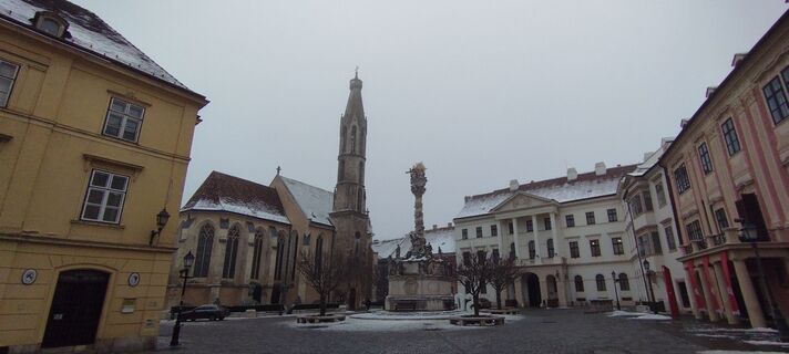
At the start, you can once again admire the historic old town of Sopron. You will walk through it and the adjacent historic villa district, which is located along the foothills of the Ödenburg Mountains...
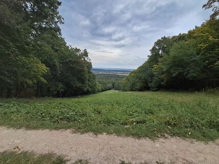
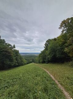
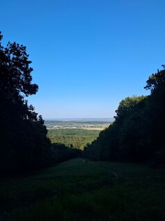
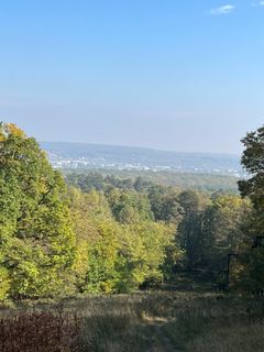
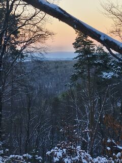
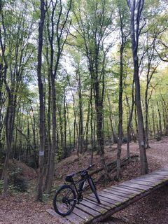
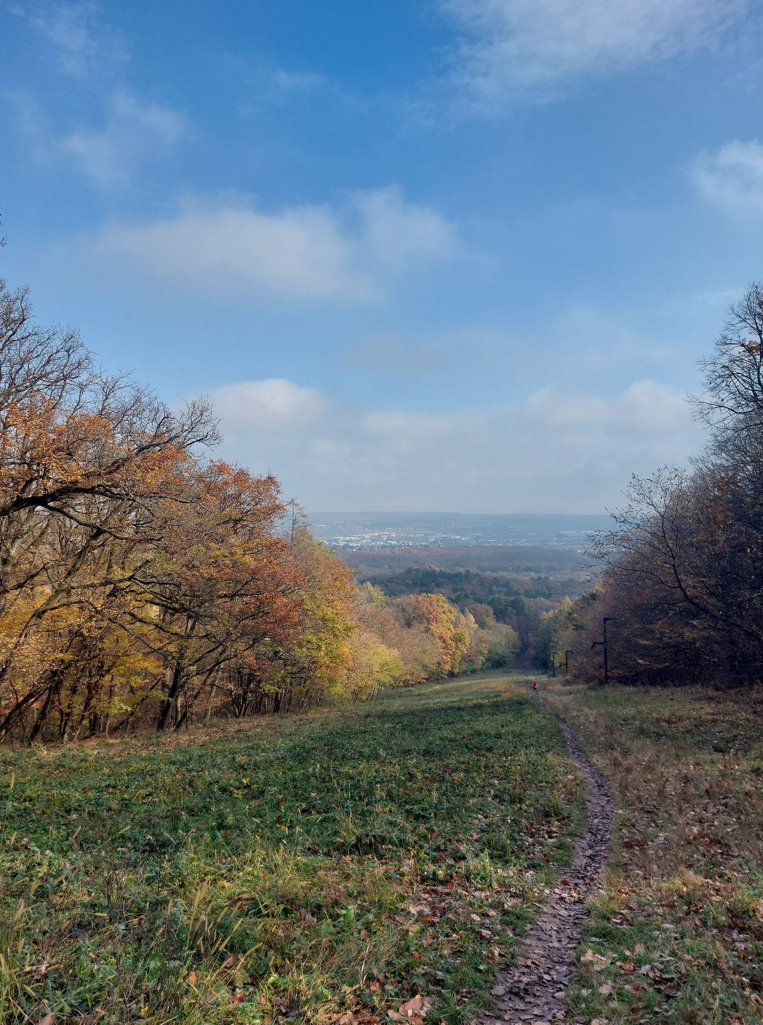
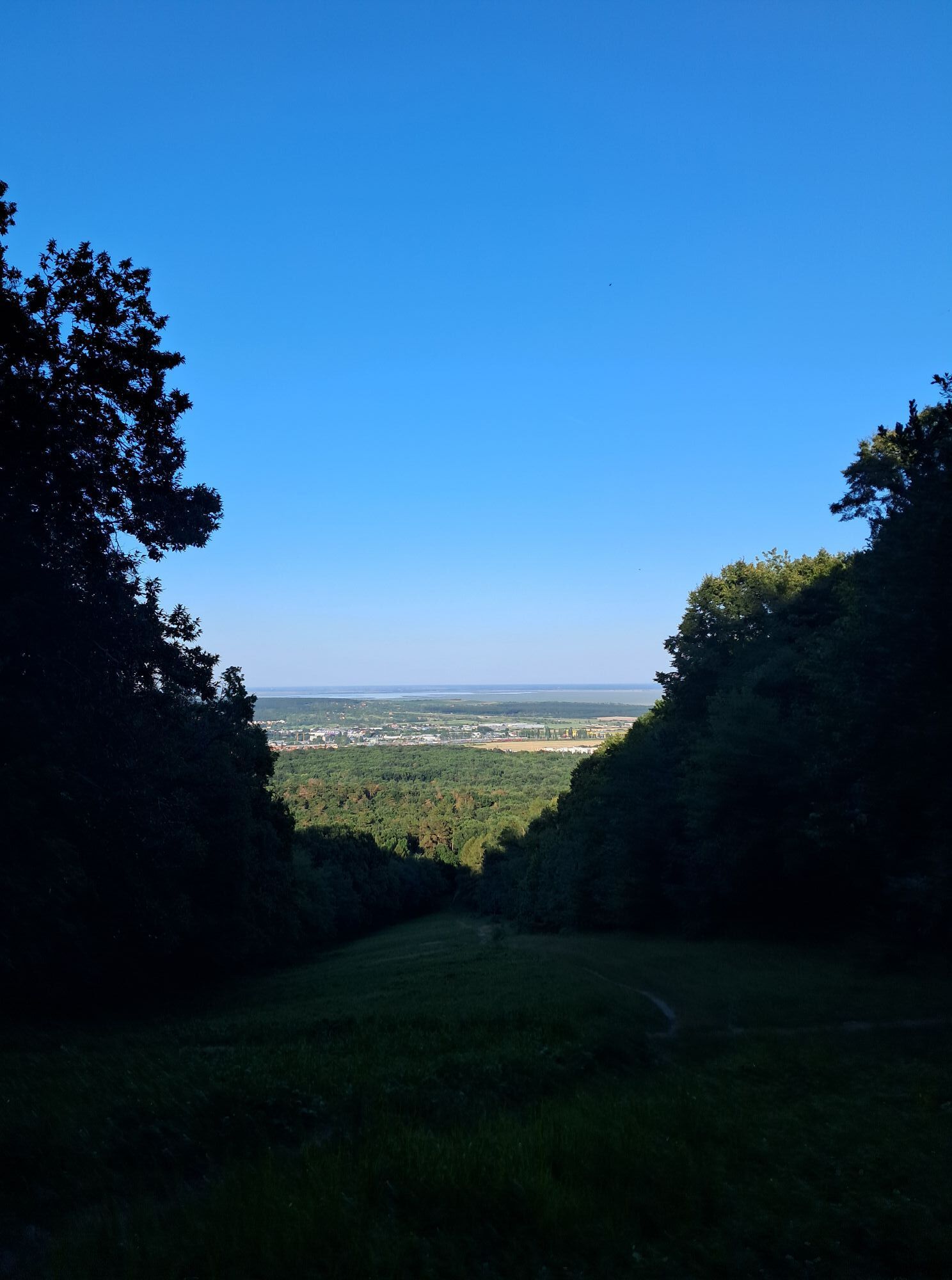
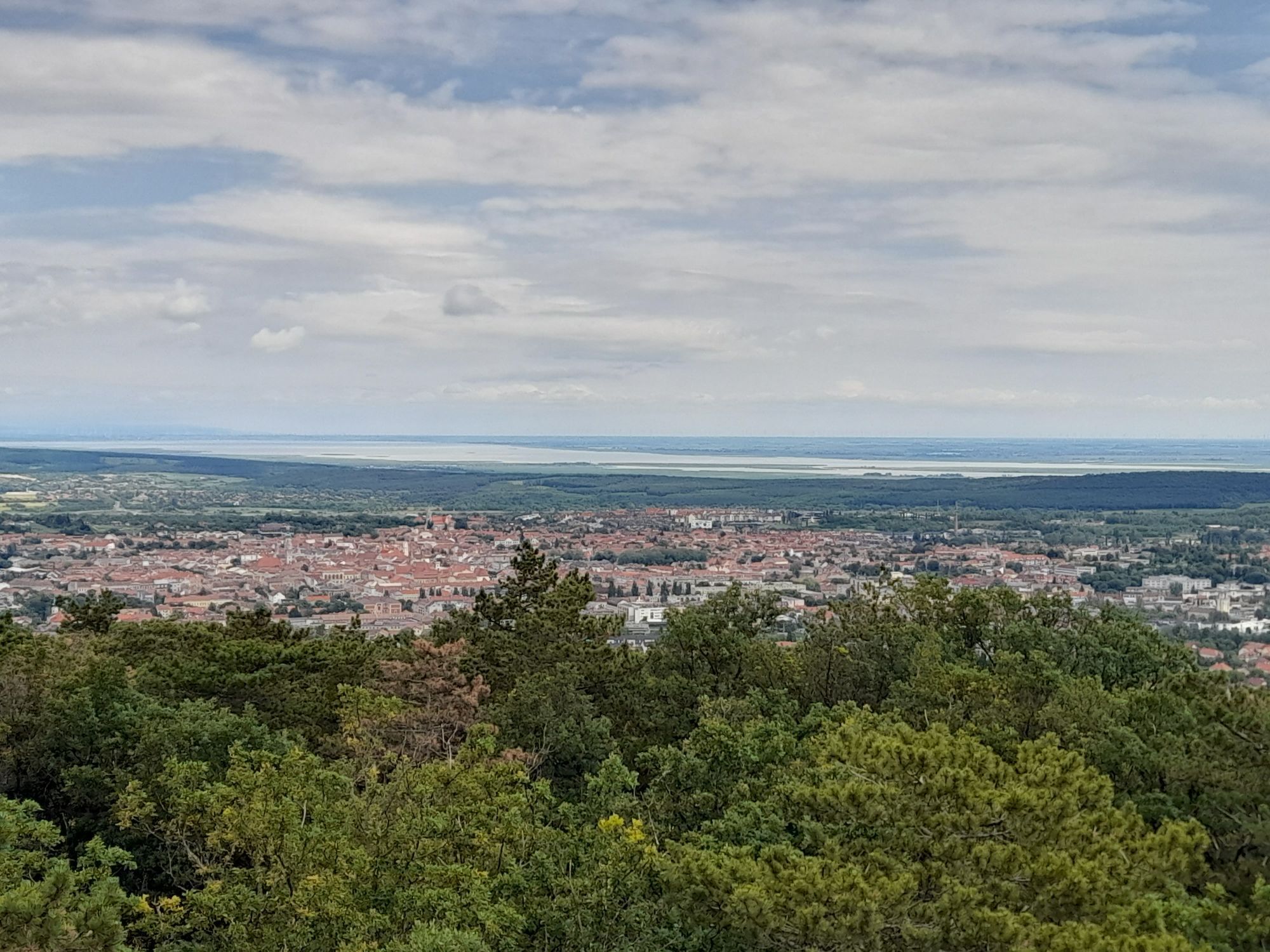
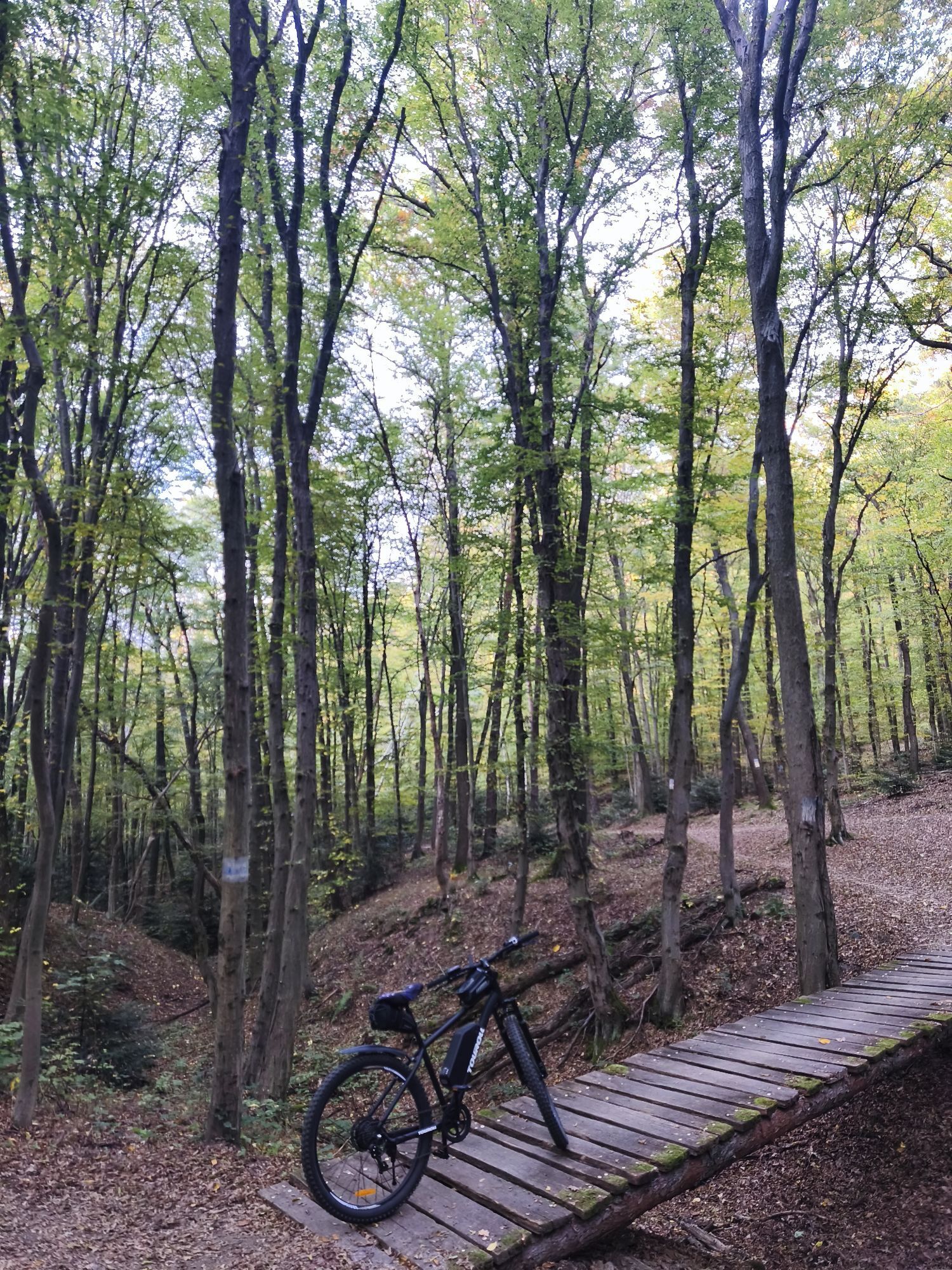
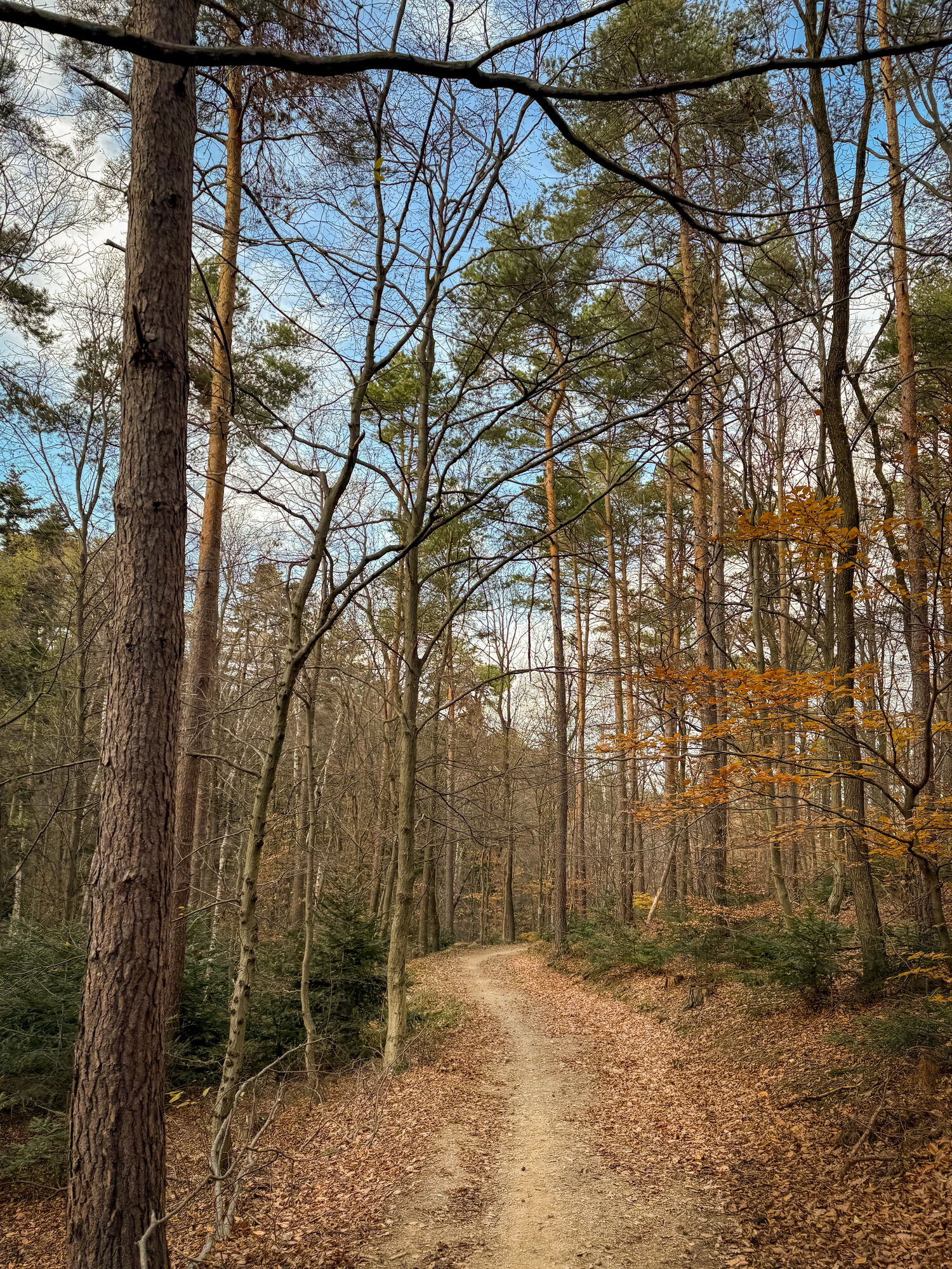
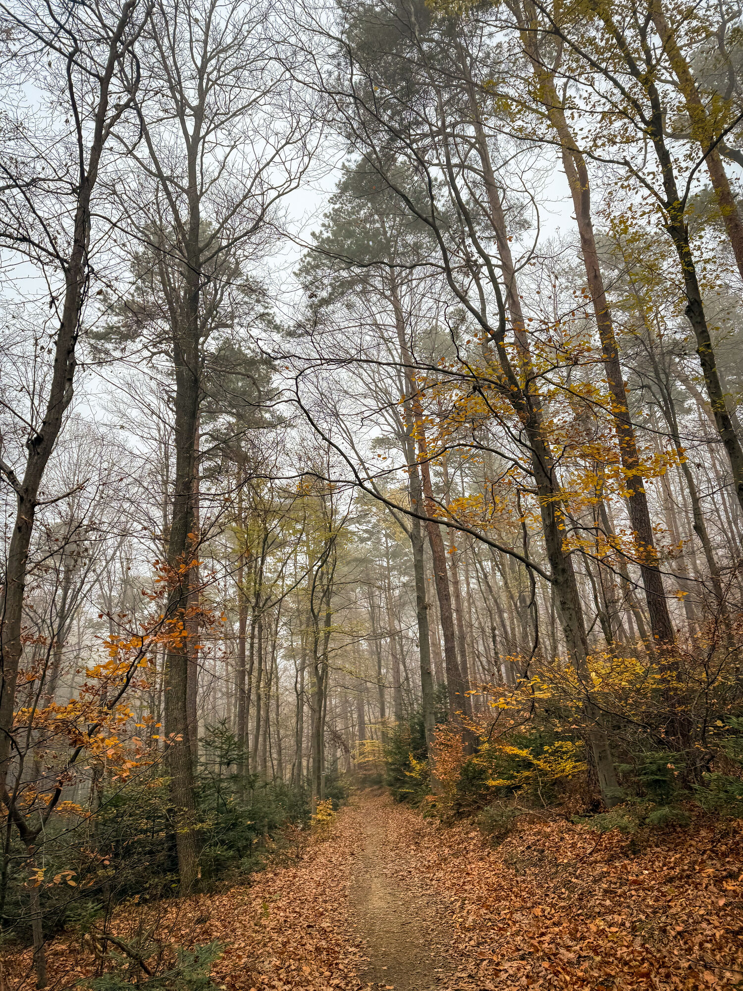
At the start, you can once again admire the historic old town of Sopron. You will walk through it and the adjacent historic villa district, which is located along the foothills of the Ödenburg Mountains with great views of Sopron. The Ödenburg Mountains are a vast, forested, and largely uninhabited low mountain range that borders directly on the city and has therefore been developed into a huge local recreation area with a dense network of hiking trails, cozy resting places, and observation towers.
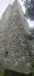
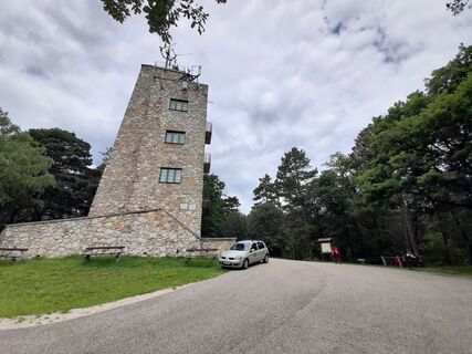
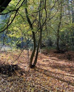
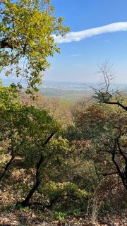
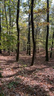
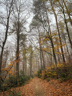
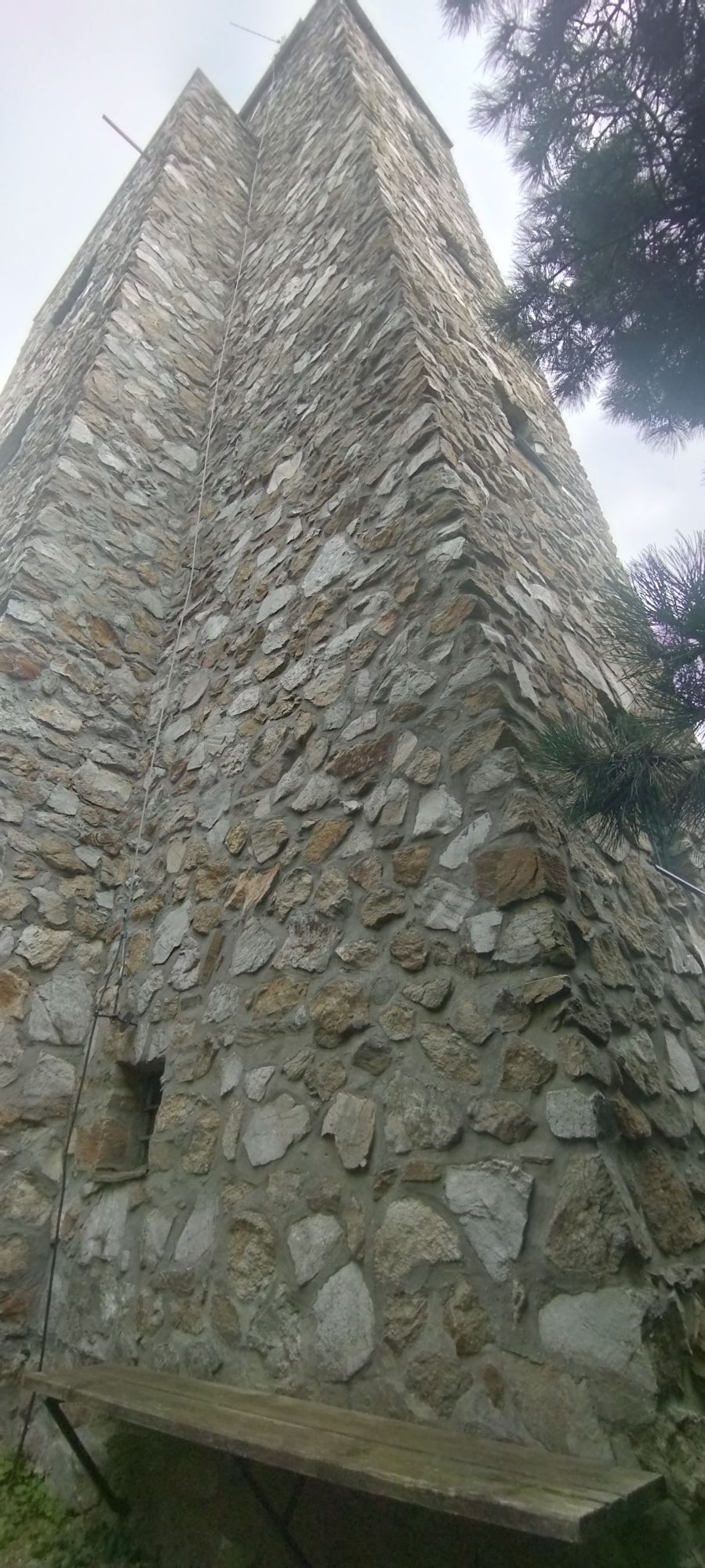
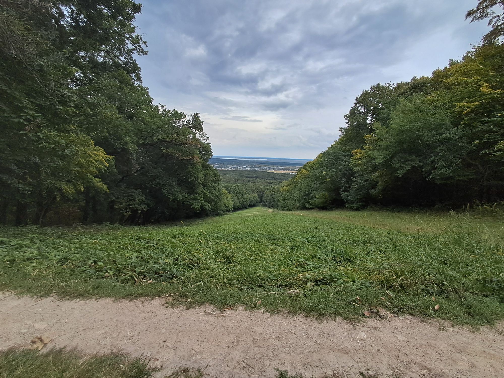
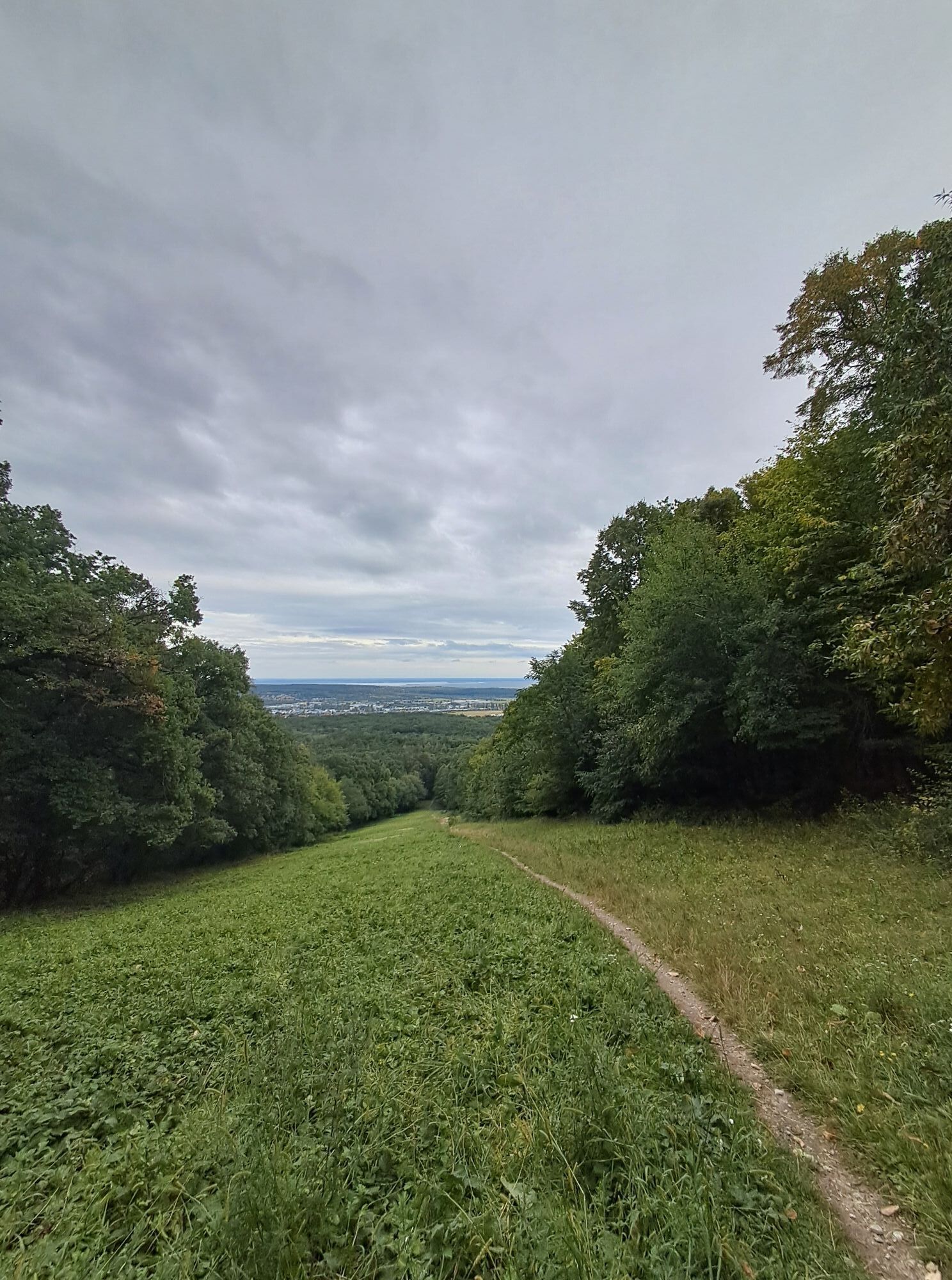
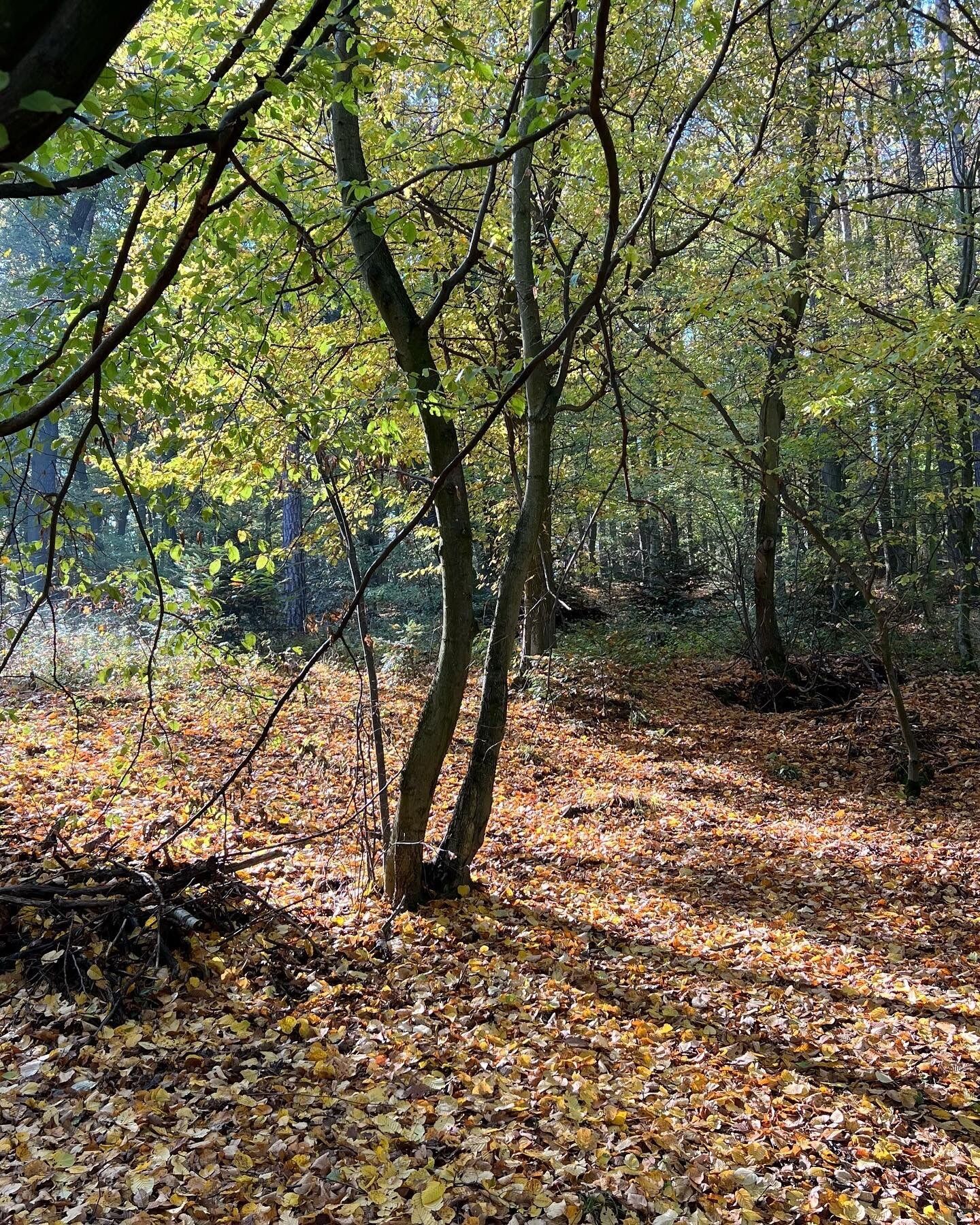
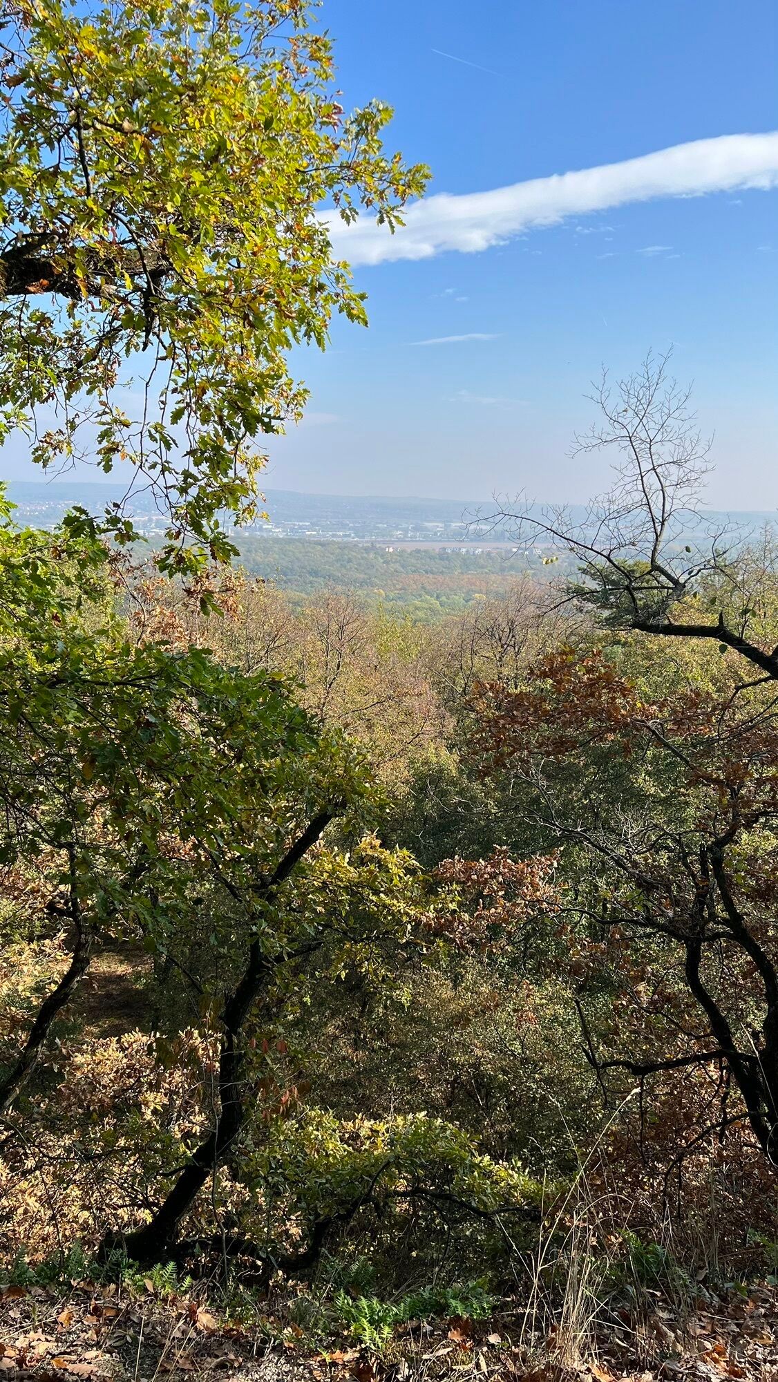
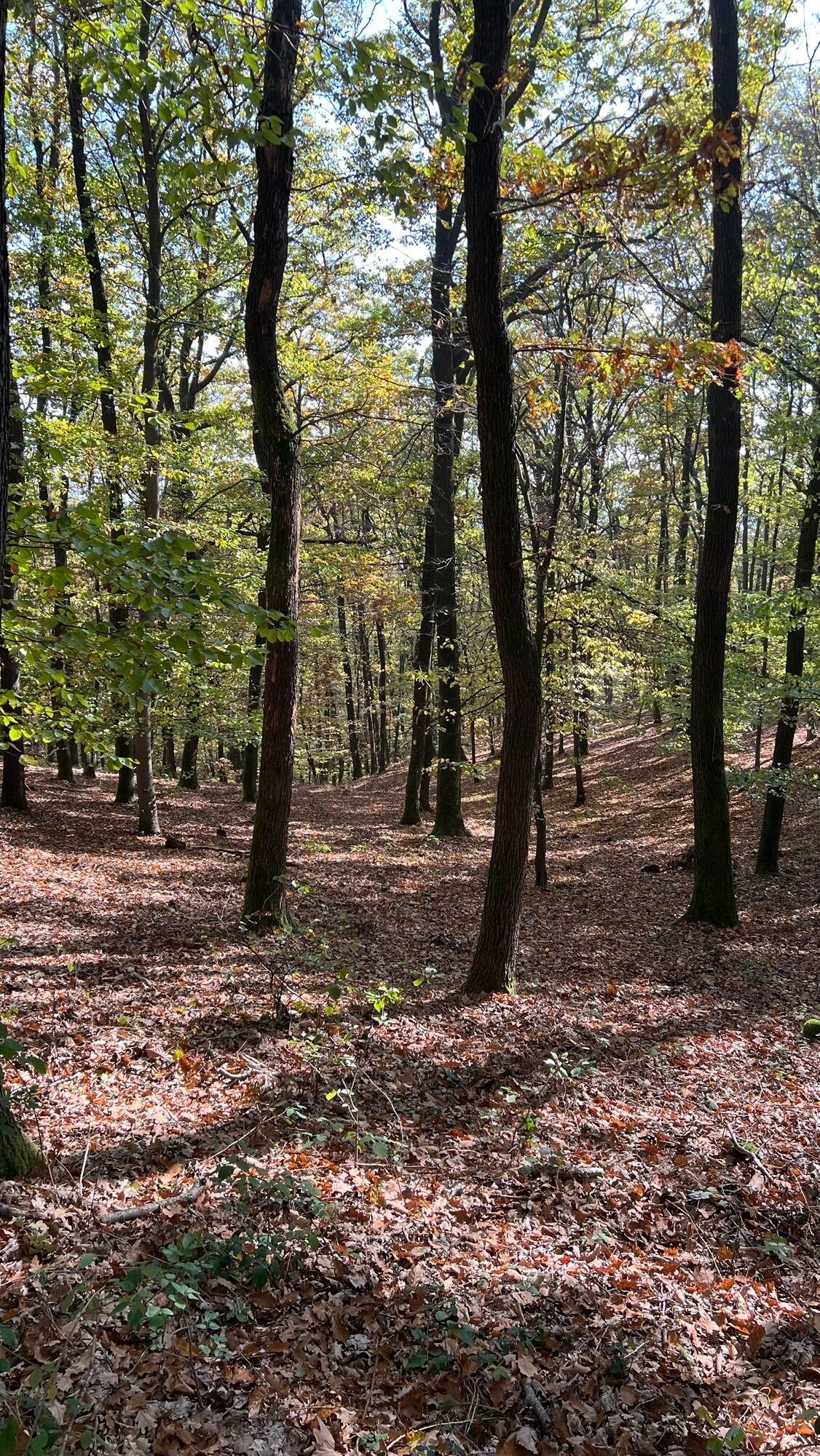
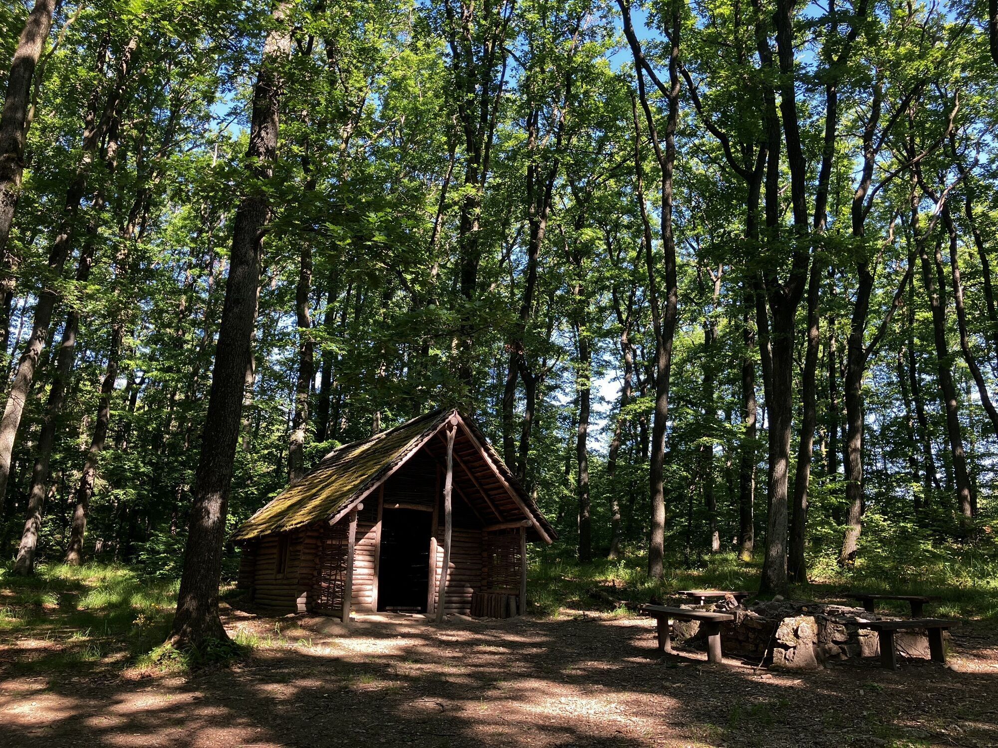
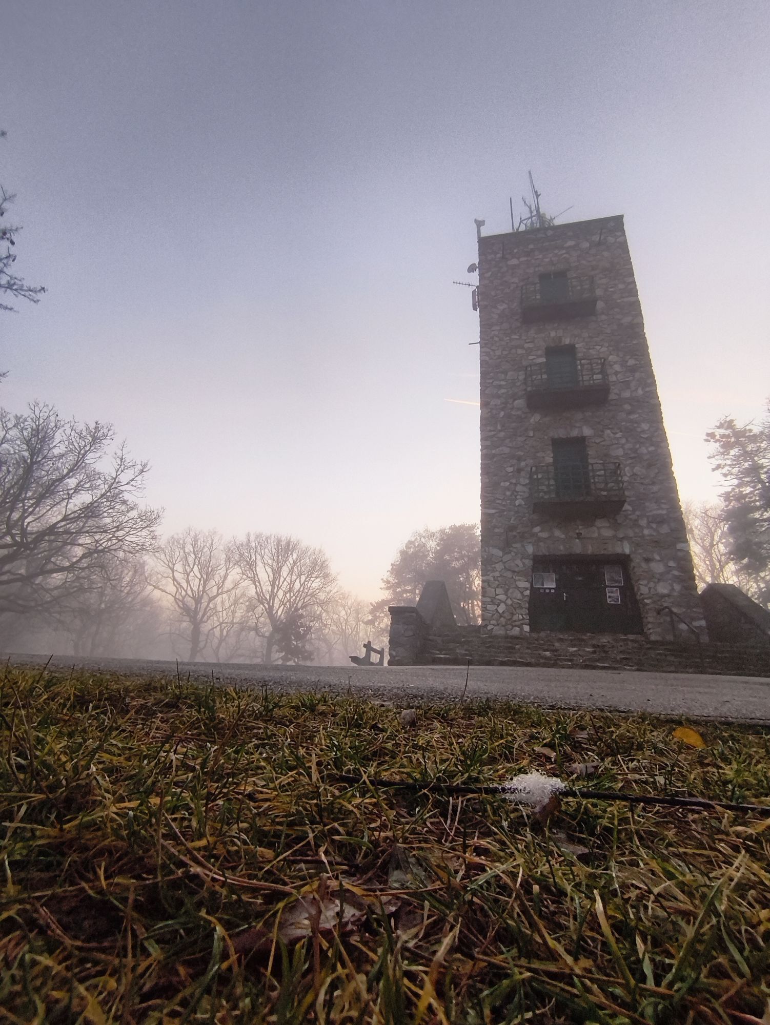
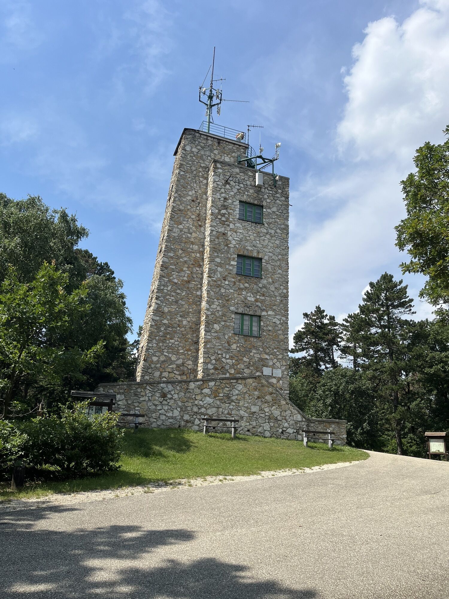
One of these observation towers, namely the one on the Karlshöhe, is also your first destination in the Ödenburg Mountains. Here you can expect a fantastic panorama. It continues over wonderful forest paths through beech and oak forests until after some time you reach the Sopron-Várhely burial field. This burial field is an important Celtic-era find.
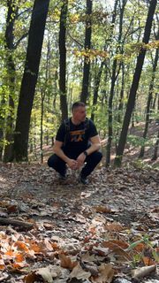
After this impressive find site, you continue to hike through the forests of the Ödenburg Mountains, in the last section exactly on the border between Austria and Hungary – until you enter the Blaufränkischland on the Austrian side at the small border crossing between Harka and Neckenmarkt and walk through it via farm roads to Neckenmarkt, today's stage destination.

From the stage start at the tourist information at the main square in the old town of Sopron, you start down the Templom ulica to the right of the church to the end of the pedestrian zone and a green strip. There, shortly turn right and at a bike crossing immediately left into Erzsébet ulica. Follow this street straight ahead to another wide green strip, which represents a kind of park. Here, keep to the left edge of the park on the right until you find a turn on the left into Batsányi ulica. Follow this over a street, railway tracks, and another larger street, continuing straight ahead until you turn left onto a slightly larger street – Mikoviny ulica. At the end of the street turn right and immediately right again into Városligeti ut. Now you are in the historic villa district of Sopron. Walk up the street until you turn left into “Villa sor.” The next street – Várisi ut – again right, cross a major street and continue to the end of the street at a turnaround in front of the Superior Hotel Lover.
Now the beautiful hiking trails through the Ödenburg Mountains begin. You continue straight ahead, left of the turnaround and left of a fence, on a forest path parallel marked with blue triangles. At a crossroads go straight ahead, after some time over a meadow and a while later sharply right towards the observation tower on the Karlshöhe. Although admission must be paid and only possible in the Hungarian currency, the forint, you should not miss the view from the observation tower over Sopron.
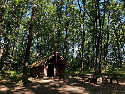
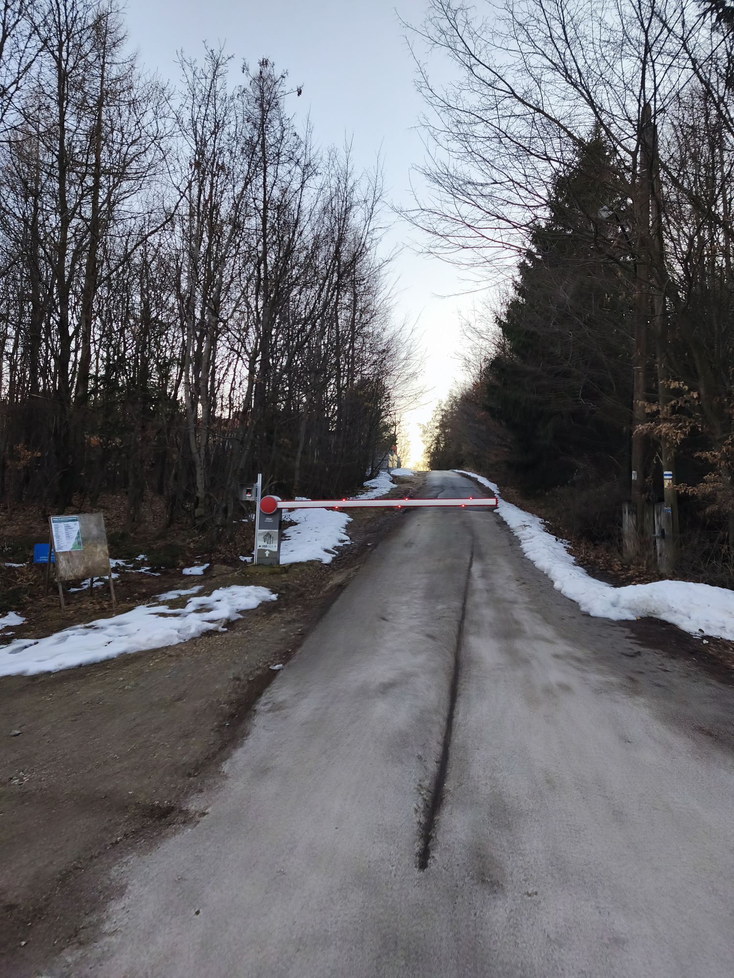
Our onward path starts in front of the observation tower. You walk down the small asphalt road to a barrier and a parking lot. A short loop over the parking lot and at the end the small street left – and you are back on the busier road. Cross it and follow a small asphalt road for about 100 m, this is marked parallel with a yellow line. Now turn diagonally right into a forest path, which you follow straight ahead for quite some time; this forest path is also parallel marked with yellow lines. At a crossroads continue straight ahead; from here it is marked parallel with blue lines, you walk along the hilly slopes at the same elevation through beautiful oak and beech forest to a small bridge. Over the bridge and immediately behind sharply right to a slightly larger forest road with benches. You are now in the area of the Sopron-Várhely burial field.
On the forest road to the right and after 100 m immediately left into a path. Follow this path, which is marked parallel with blue lines; after some time, at a fork in the path, turn left and after 30 m stand on a small asphalt road. Follow this slightly uphill to a gravel area where the road makes a right curve. Here go a few meters straight ahead and immediately behind a barrier sharply left onto a forest road, which is marked parallel with green and red lines.
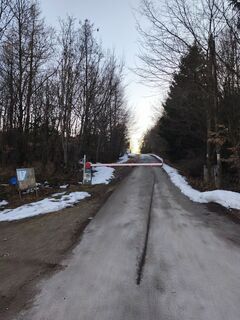
Now the last section through the Ödenburg Mountains starts directly along the Austrian-Hungarian border. Along the forest road, at a fork to the right and over a wooded hill. Behind this, the forest road makes a left turn; you follow it and hike downhill for quite a while until you leave the forests of the Ödenburg Mountains and meet an asphalt road. Here turn right, immediately cross the small border crossing between Hungary and Austria, immediately turn left behind it, and after another 10 m turn right onto a field path. At the next crossroads straight ahead and now via farm roads parallel to a bike path to the Florian Chapel and further to Neckenmarkt. In Neckenmarkt turn left down to the church, your stage destination.

Obľúbené výlety v okolí
-
3,9
B 40 red wine cycle path
svetloCyklistika 38,6 km -
3,0
Sonnenland Draisinentour
svetloCyklistika 23,0 km -
4,7
B30 Kogler cycle path
strednáCyklistika 32,0 km -
3,1
Rundwanderung zum Herrentisch
strednáTuristika 13,7 km -
5,0
Draßburger Wald: Marzer Kogel und Rohrbacher Teichwiesen
svetloTuristika 9,02 km -
4,7
NaNaNa discovery route - The Rohrbach pond meadows
svetloTuristika 5,73 km -
5,0
Circular hike "The Fool"
svetloTuristika 15,8 km -
B30 Koglradweg
strednáCyklistika 23,3 km -
5,0
M61 WeinSteinWeg
ťažkéTematická trasa 10,4 km -
4,0
Aussichtsturm Mörbisch
strednáCyklistika 47,3 km
Turistika a stopovanie


Nenechajte si ujsť ponuky a inšpiráciu na ďalšiu dovolenku
Vaša e-mailová adresa bol pridaný do poštového zoznamu.