© Alpe-Adria-Trail - Alexandra Rieger

© Alpe-Adria-Trail - Alexandra Rieger

© Alpe-Adria-Trail - Alexandra Rieger


- Stručný popis
-
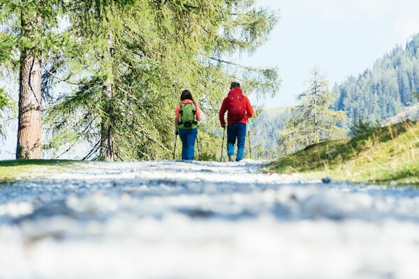
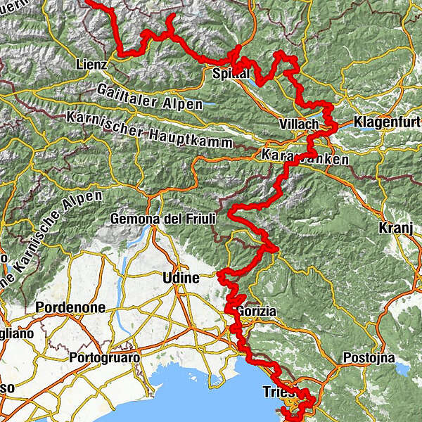
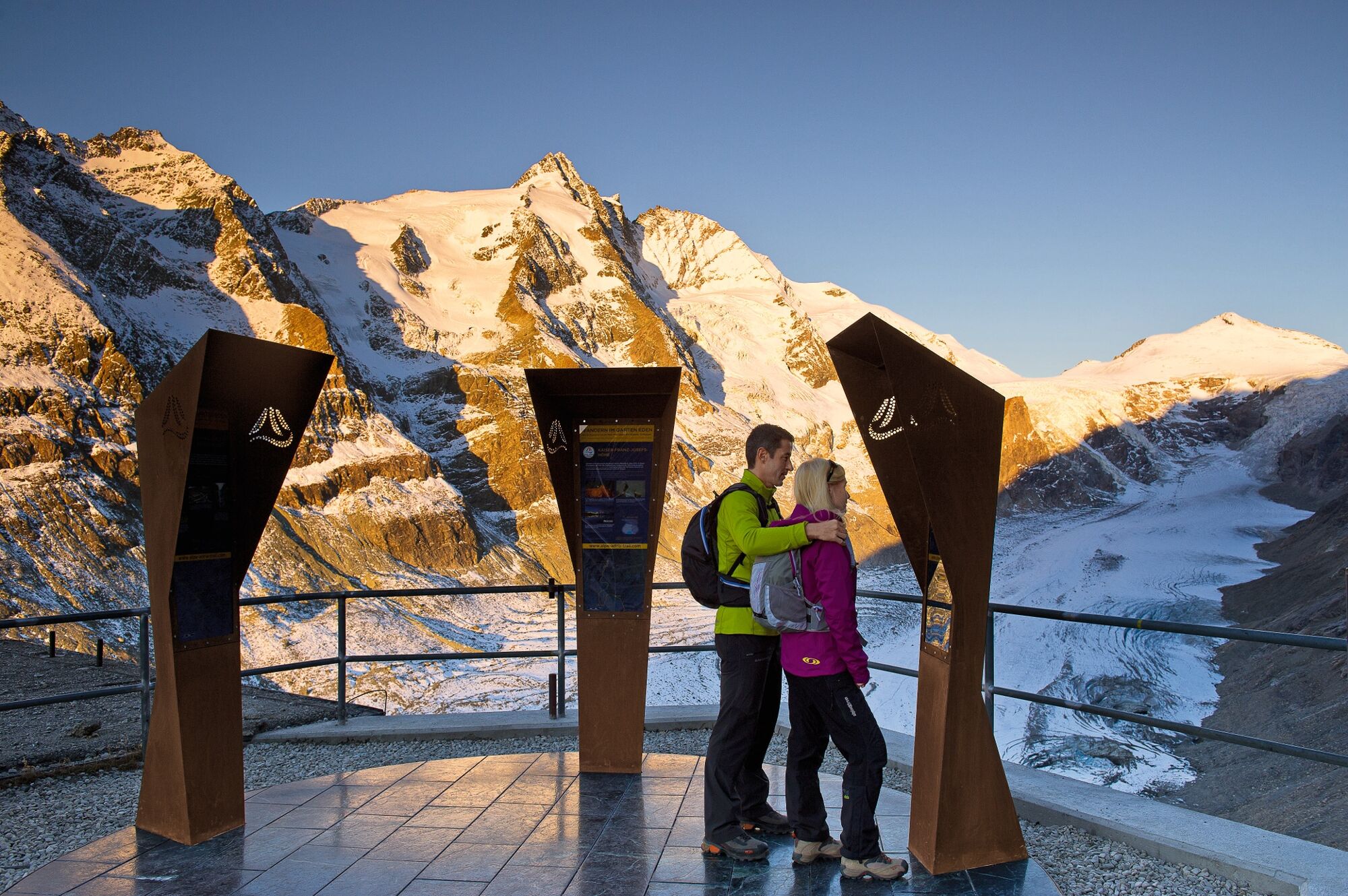
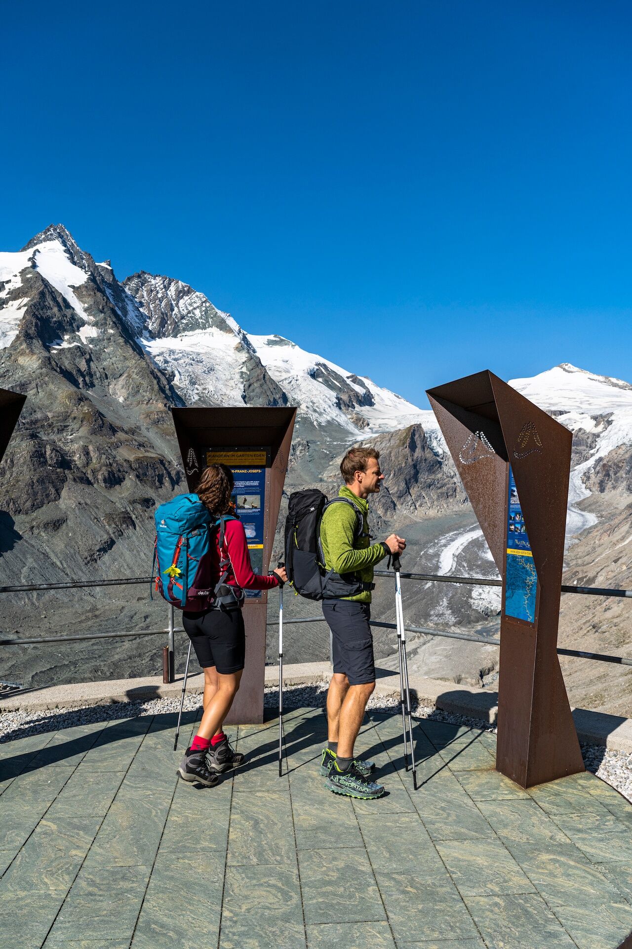
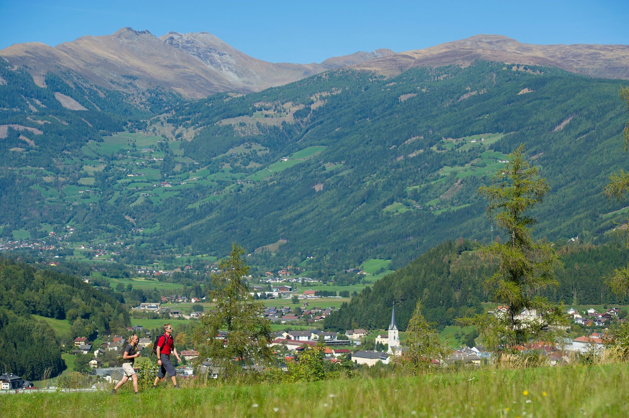
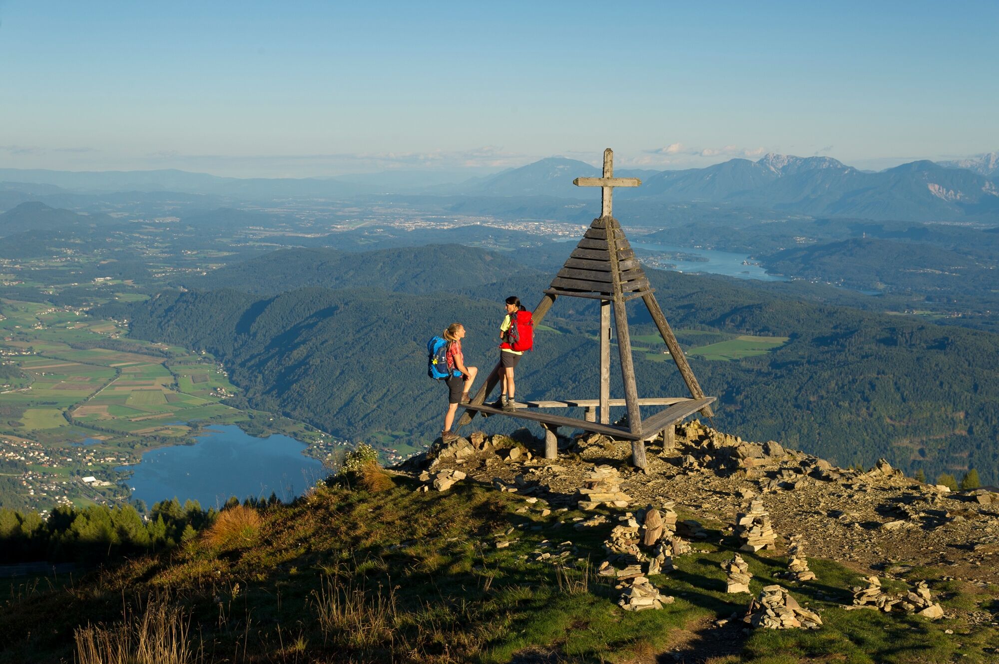
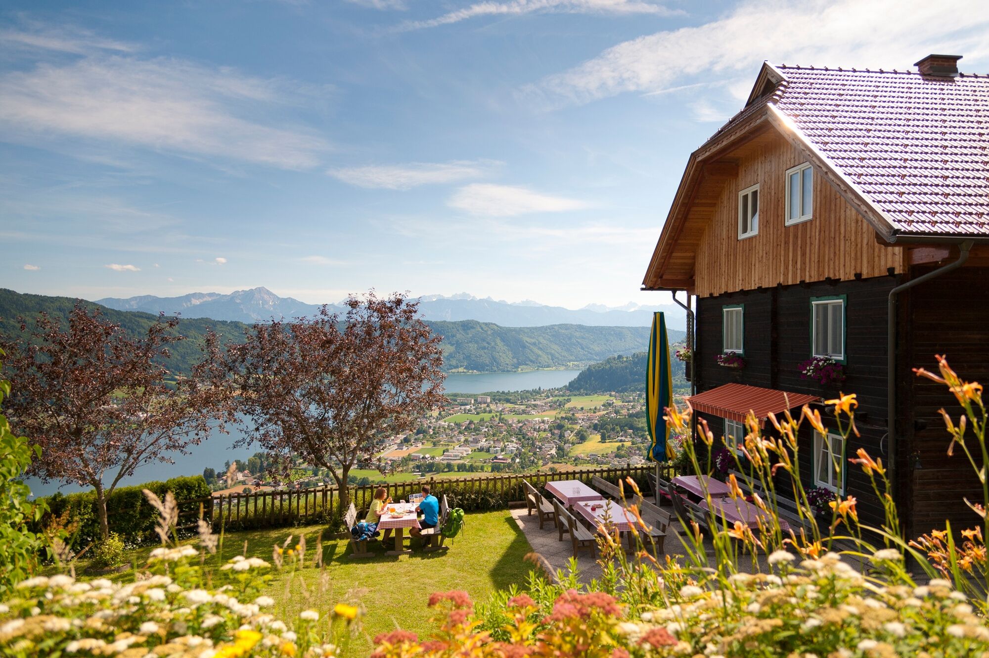
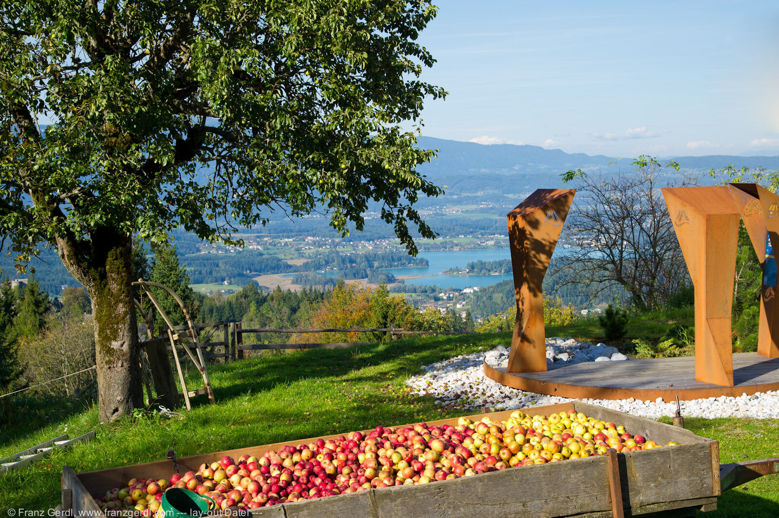
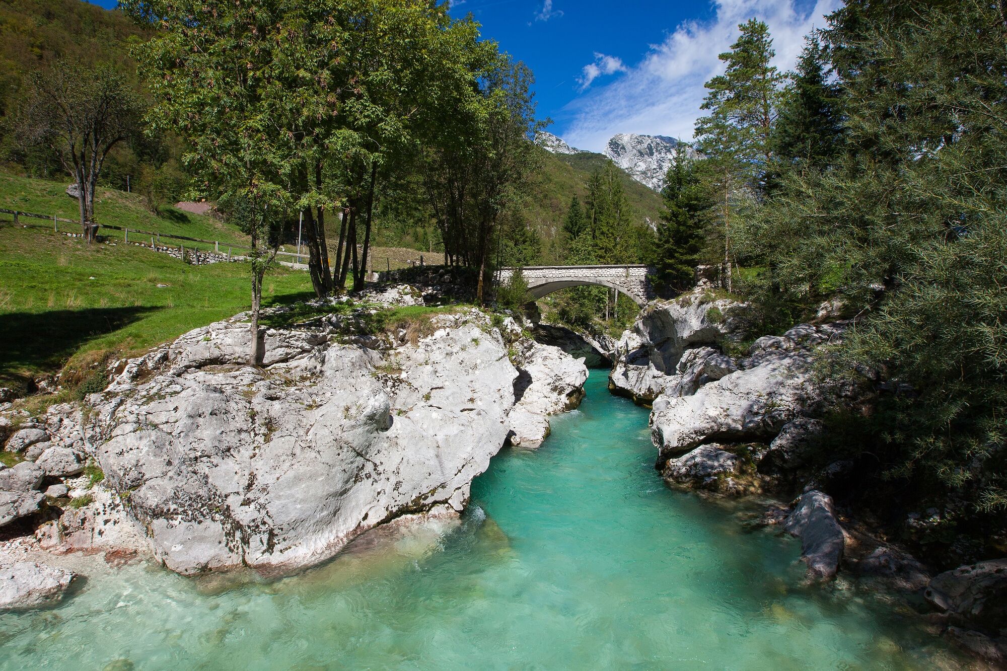
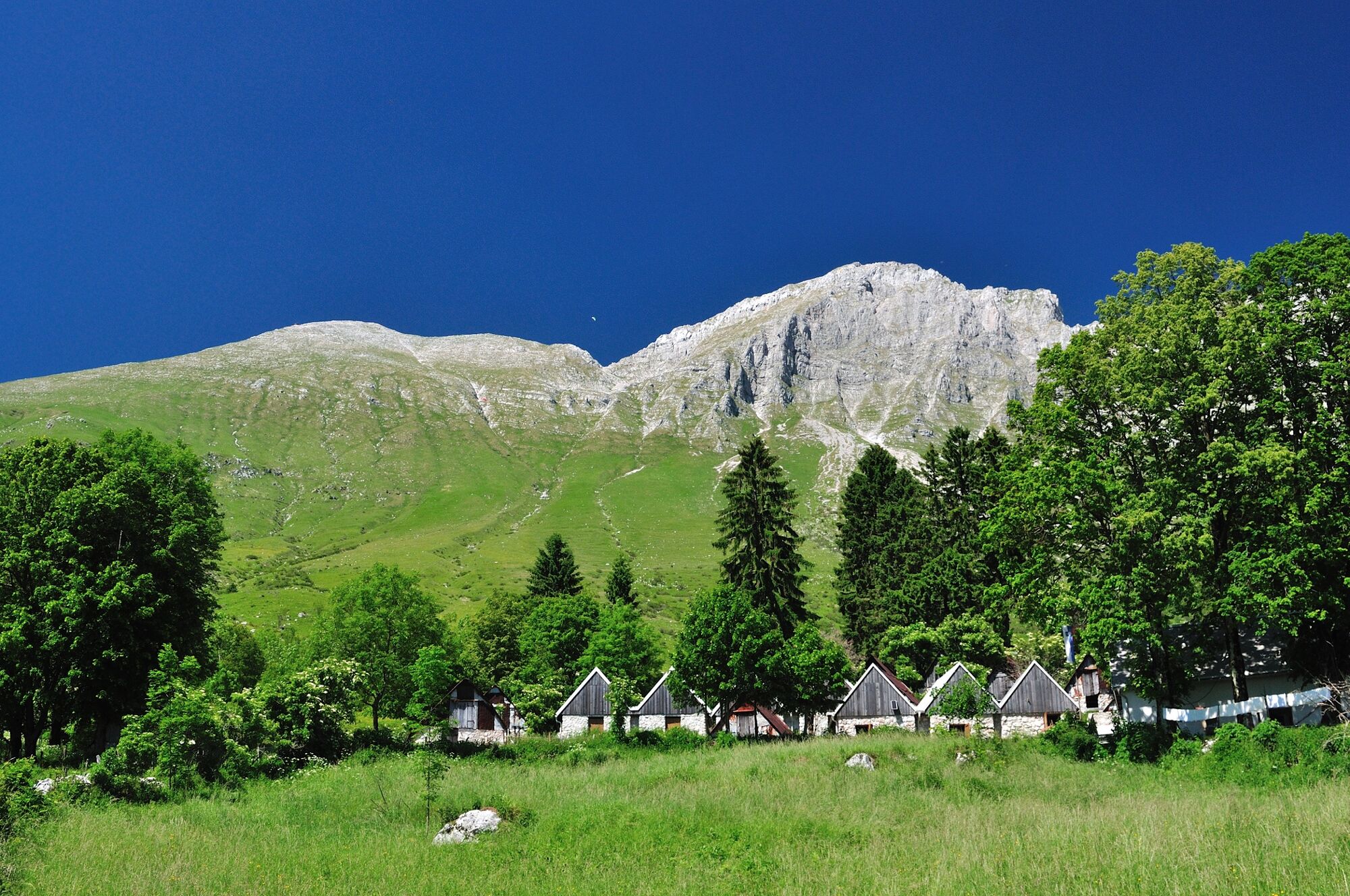
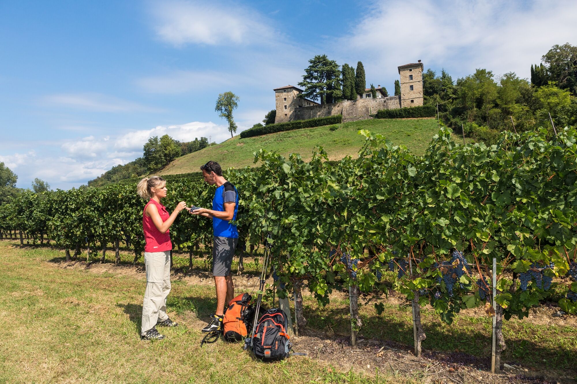
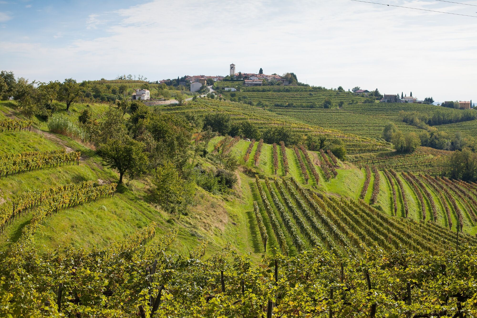
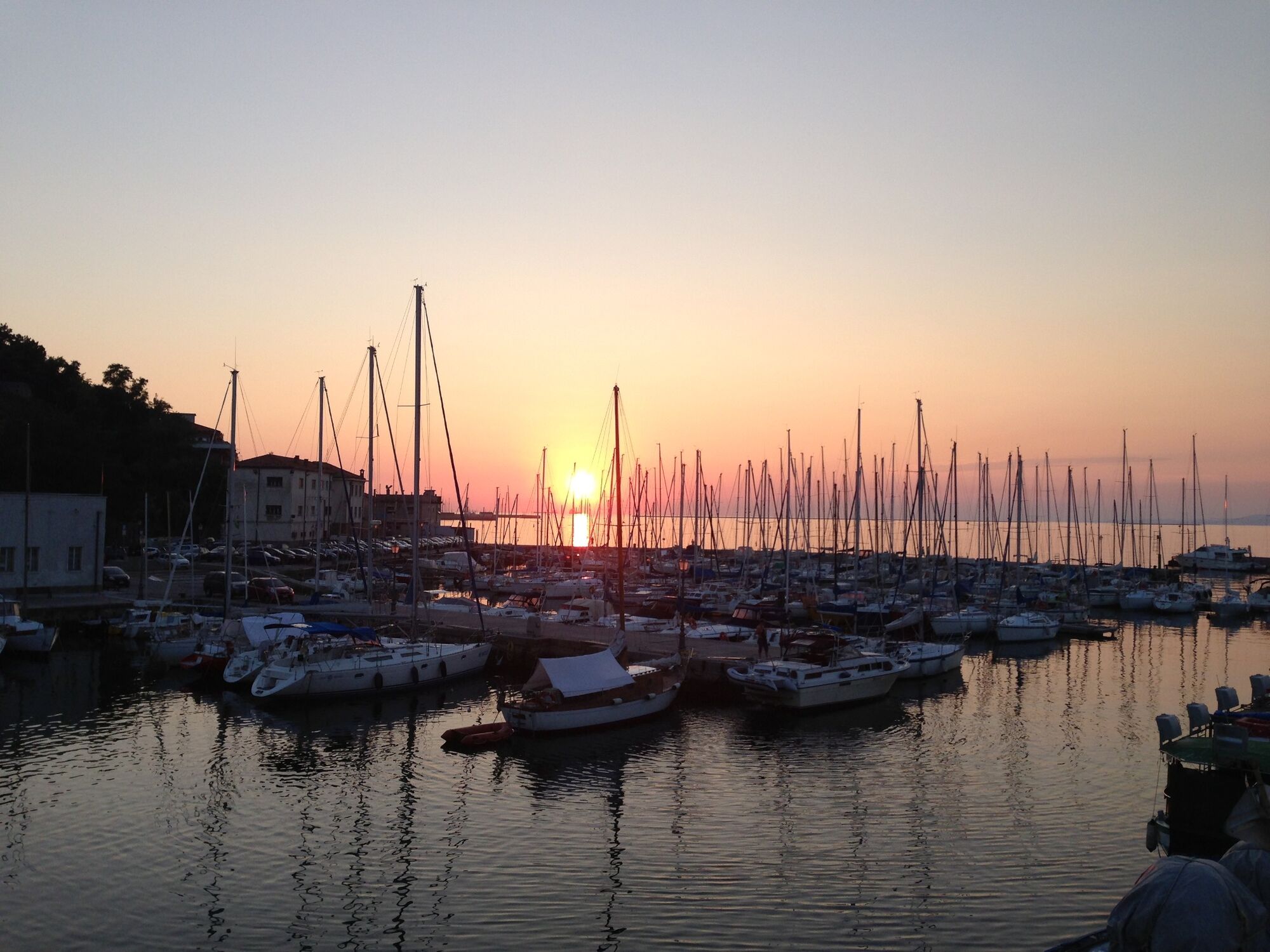
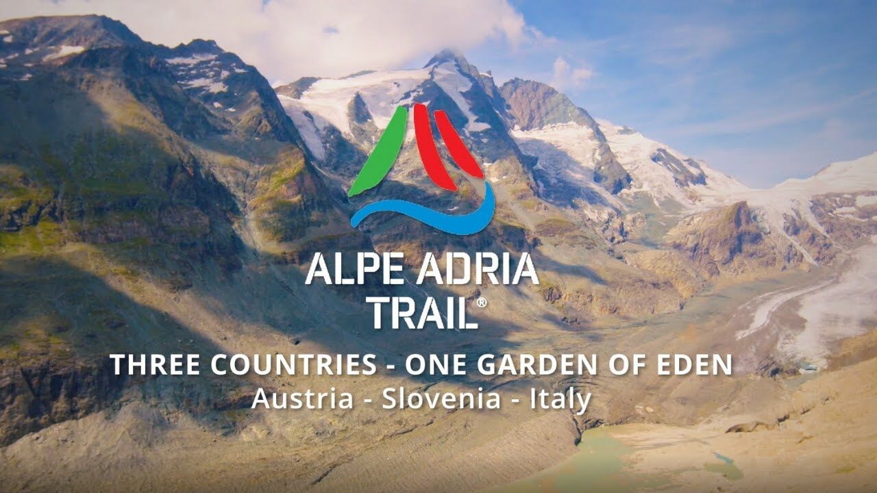
The Alpe-Adria Trail, which is signposted from start to finish, is a varied 750-km-long voyage of exploration that traverses the borders of three countries – Austria, Italy and Slovenia – and three cultures. It runs from the foothills of the majestic Grossglockner Mountain to the azure Adriatic Sea. With views of a superb variety of natural wonders, alpine aquatic adventures and fascinating animal and plant life, it wends its way around lakes, streams and rivers, until it reaches its goal: the Adriatic Sea. A practical benefit: The Alpe-Adria Trail Booking Centre is ready to help you organise the individual tour you want and make it happen.
- Obtiažnosť
-
stredná
- Hodnotenie
-
- Najlepšia sezóna (ročné obdobie)
-
janfebmaraprmájjúnjúlaugsepoktnovdec
- Najvyšší bod
- 2.368 m
- Cieľová destinácia
-
Muggia in Friuli Venezia Giulia, Italy
- Profil nadmorskej výšky
-


- Autor
-
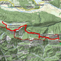
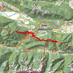
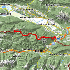
Prehliadka Alpe-Adria-Trail overall tour používa outdooractive.com na stránke ..
GPS Downloads


Všeobecné informácie
Zastávka s občerstvením
Kultúra/Historické stránky
Flora
Fauna
S výhľadmi
Ďalšie prehliadky v regiónoch