


LS_W10 "Franz Josef's Height"
Úroveň náročnosti: 4


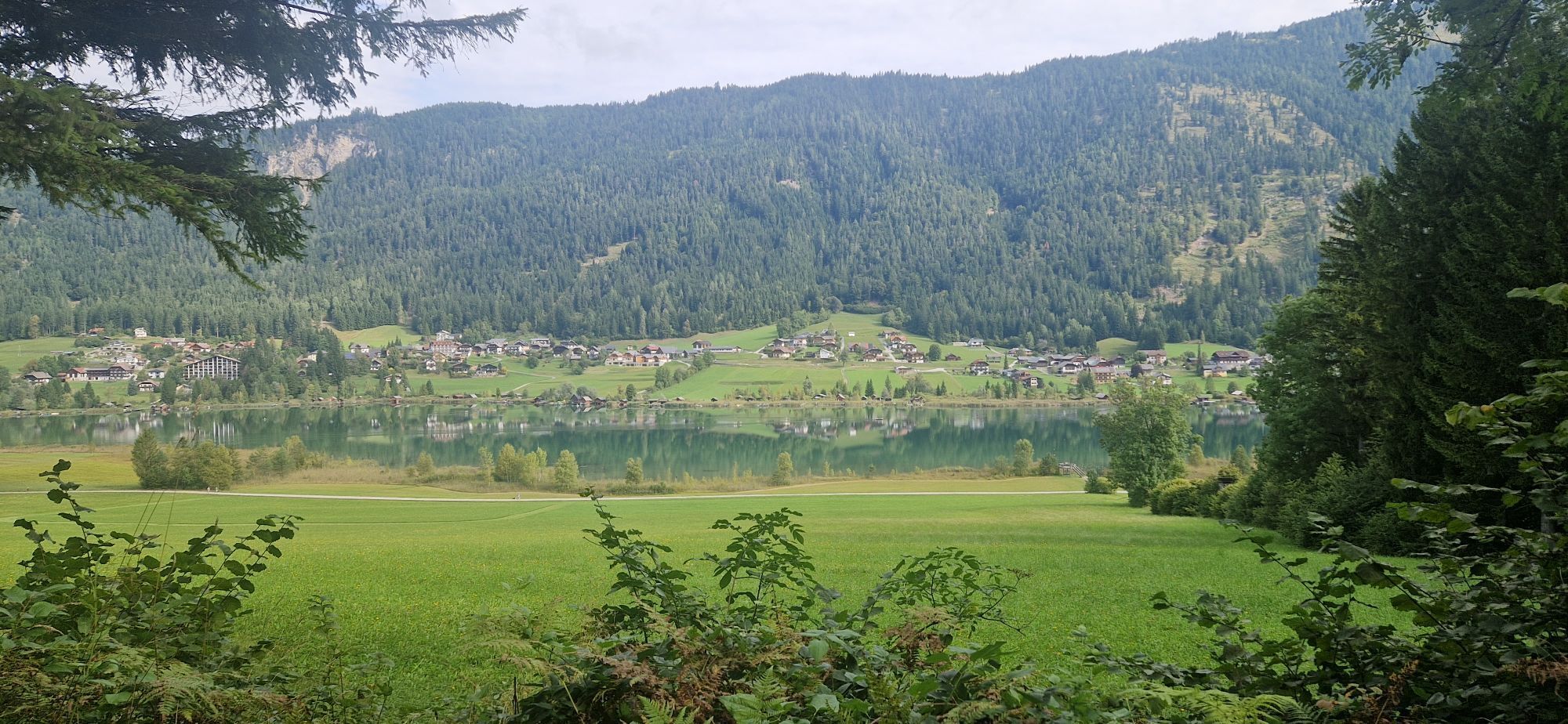
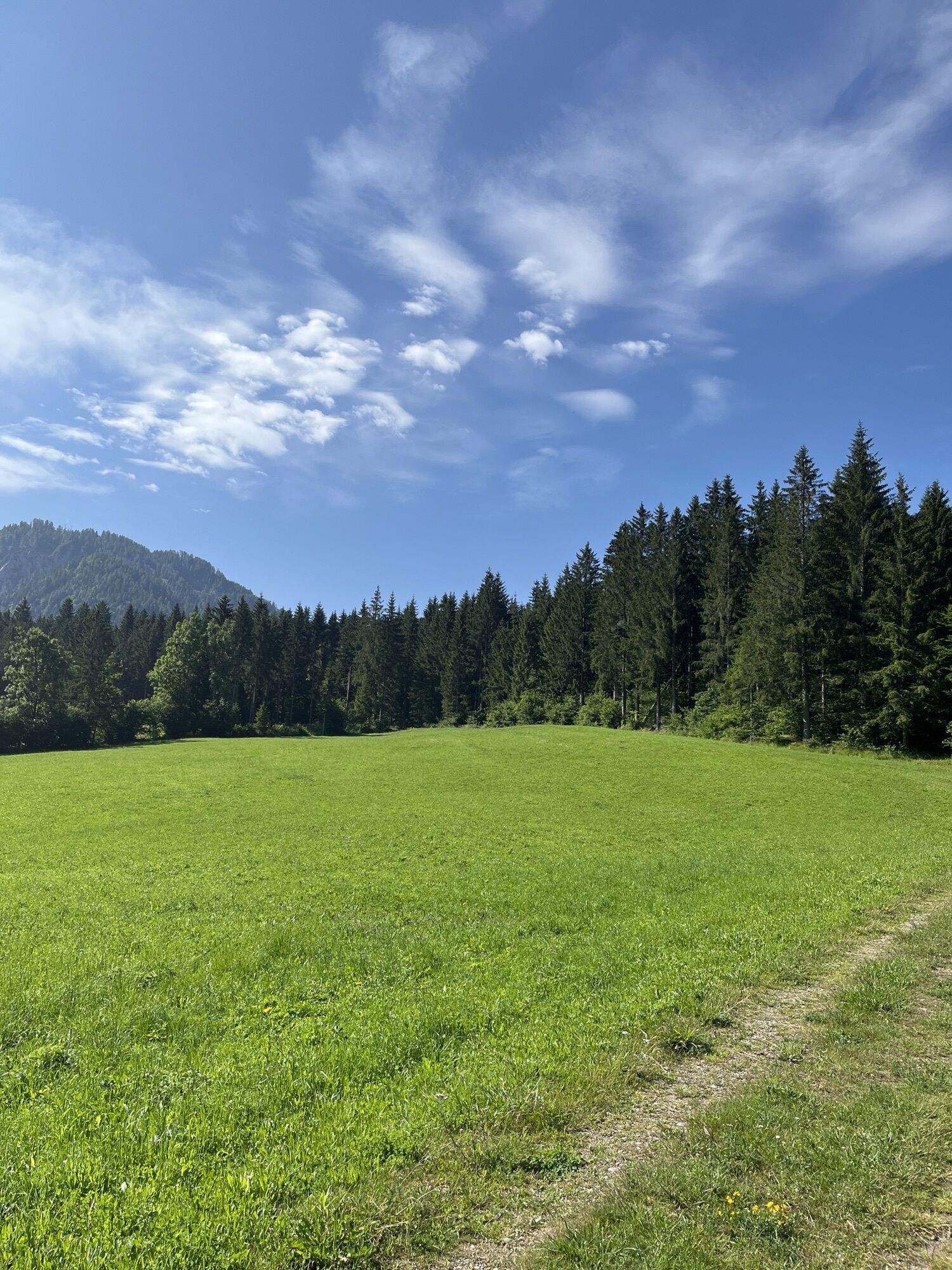
The route runs through the forest to the "former miracle tree," over the "Franz-Josephs-Höhe," and along the southern shore path. Shorter, sometimes steeper ascents in the first half of the route, then...
The route runs through the forest to the "former miracle tree," over the "Franz-Josephs-Höhe," and along the southern shore path. Shorter, sometimes steeper ascents in the first half of the route, then mostly flat terrain, partly downhill.
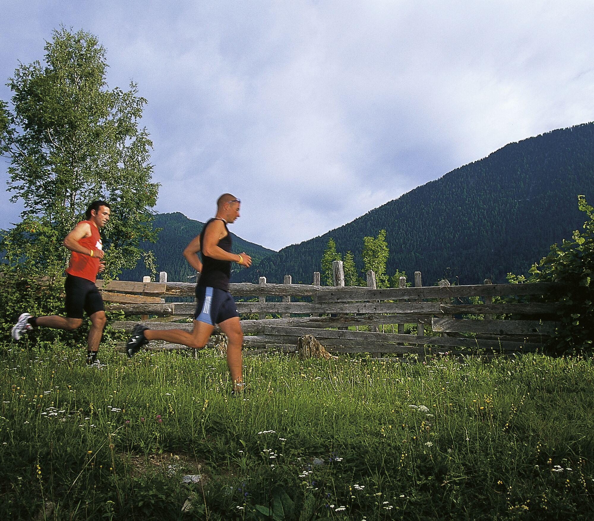
We start at parking lot P7, run uphill, and turn onto the southern forest path. After about 2 km, we take the turn to Franz-Josephs-Höhe. From there, we head toward the lake promenade, where the path along the lake leads back to Techendorf.
Áno
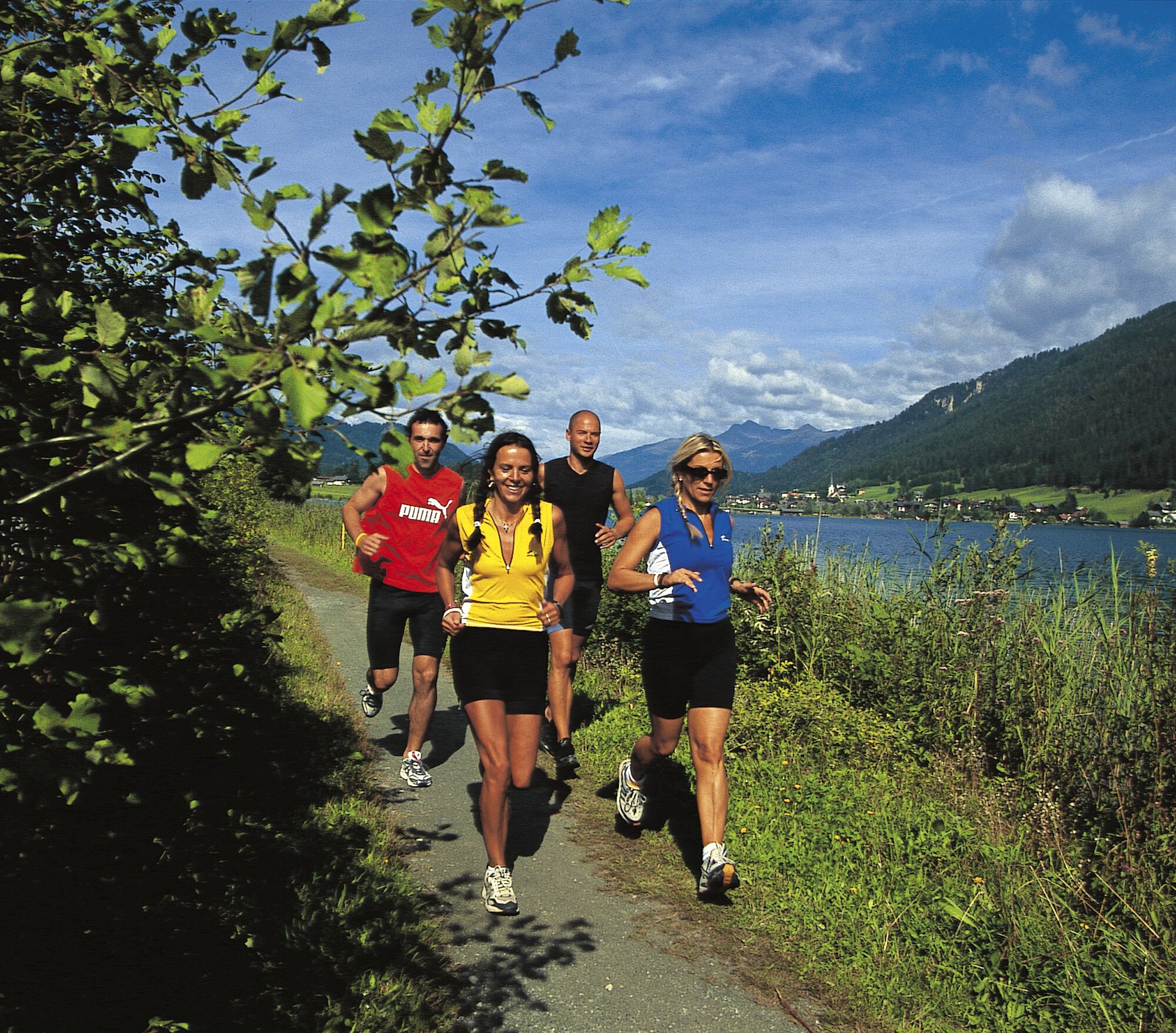
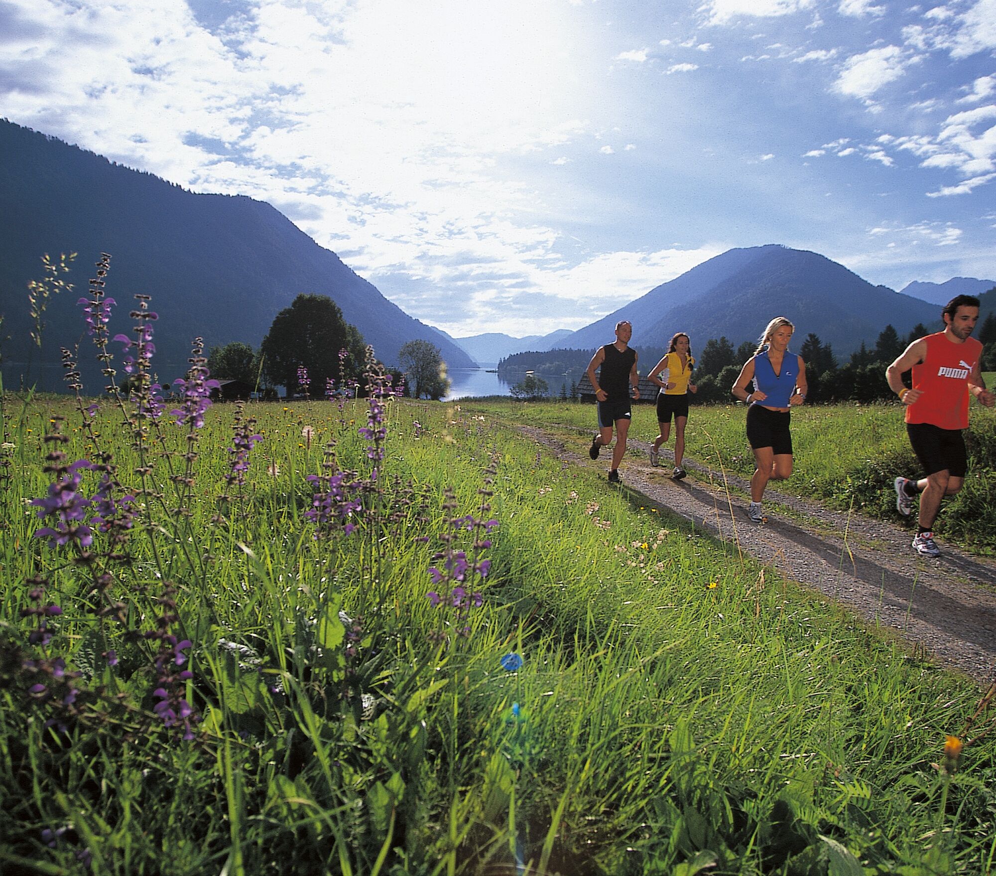
Good running shoes are recommended
From the north (D, NL, B, L, DK, SK): 1) Munich - Salzburg - Tauern motorway (A10) - Spittal junction - Greifenburg - Weissensee
2) Munich - Salzburg - Badgastein (train loading - Tauern lock) - Mallnitz - Möllbrücke - Greifenburg - Weissensee
3) Munich - Grossglockner High Alpine Road - Heiligenblut - Winklern - Iselsberg - Oberdrauburg - Greifenburg - Weissensee
4) Munich - Mittersill - Felbertauern road - Lienz - Oberdrauburg - Greifenburg - Weissensee
From the west (CH, F, I): Innsbruck - Mittersill - Felbertauern road or Brenner motorway - Lienz - Oberdrauburg - Greifenburg - Weissensee
From the east (A, H): 1) South motorway (A2) - Villach - Spittal - Greifenburg - Weissensee or Villach - towards Italy to Hermagor/Gailtal exit - Hermagor - Weissensee 2) West motorway (A1) - Salzburg - Tauern motorway (A10) - Spittal junction - Greifenburg - Weissensee
From the south (I, SLO, HR): 1) Udine - Tarvisio - Hermagor/Gailtal exit - Hermagor - Weissensee 2) Ljubljana - Karawanken tunnel - Villach - towards Italy to Hermagor/Gailtal exit - Hermagor - Weissensee
By train to Greifenburg/Weissensee and then by station shuttle at: www.naturparkshuttle.com (reservation by 6 p.m. the day before at the latest).
Parking lot P7 in Techendorf South - paid
4
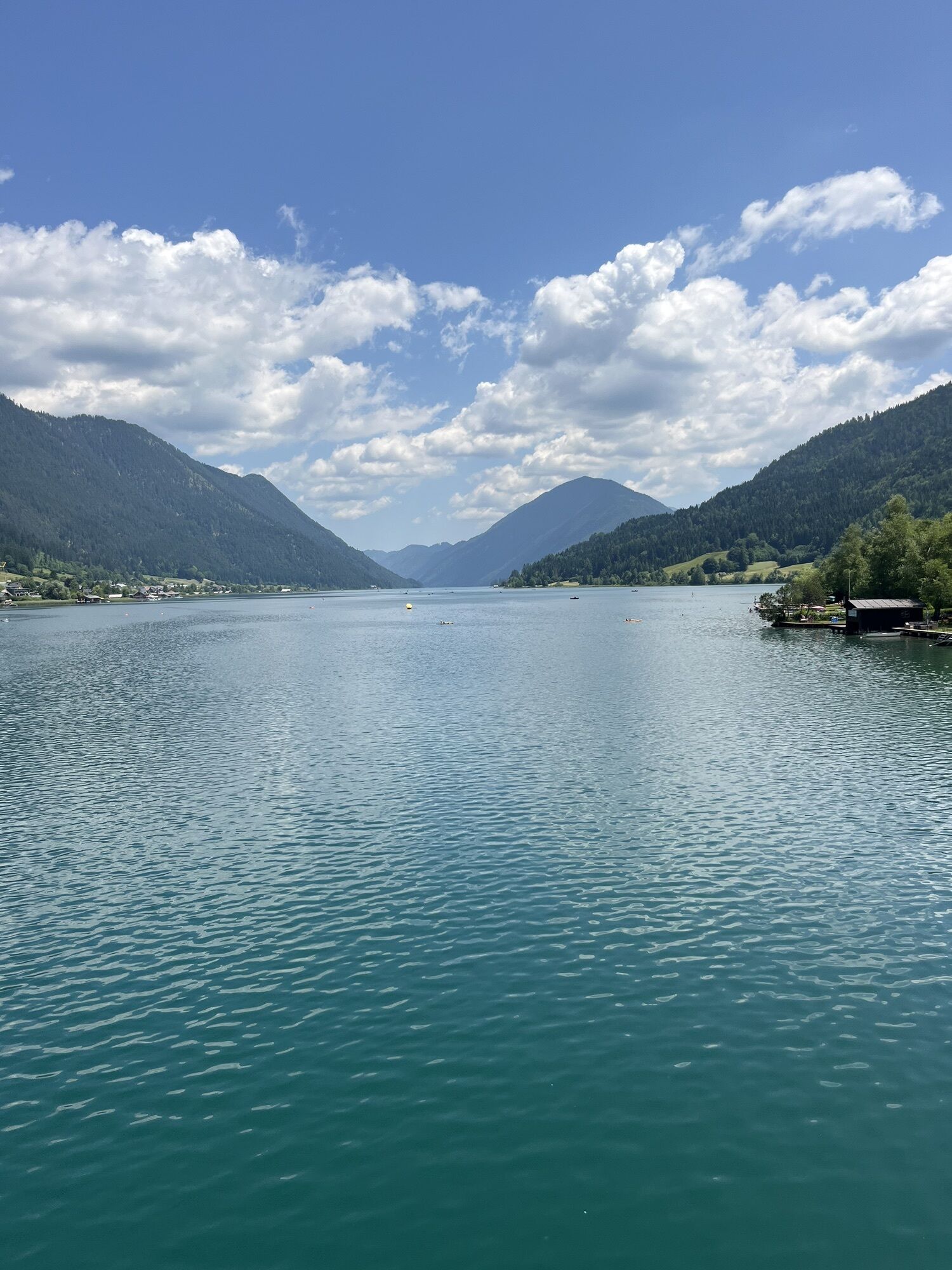
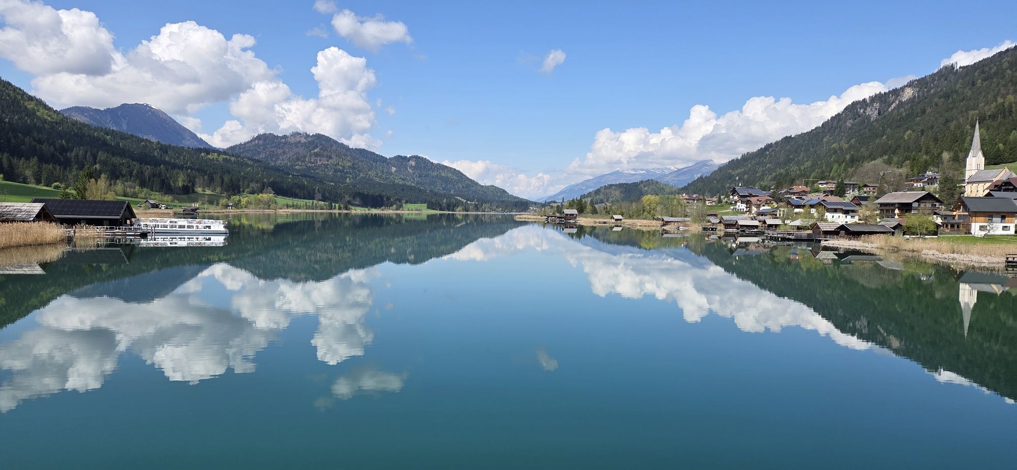
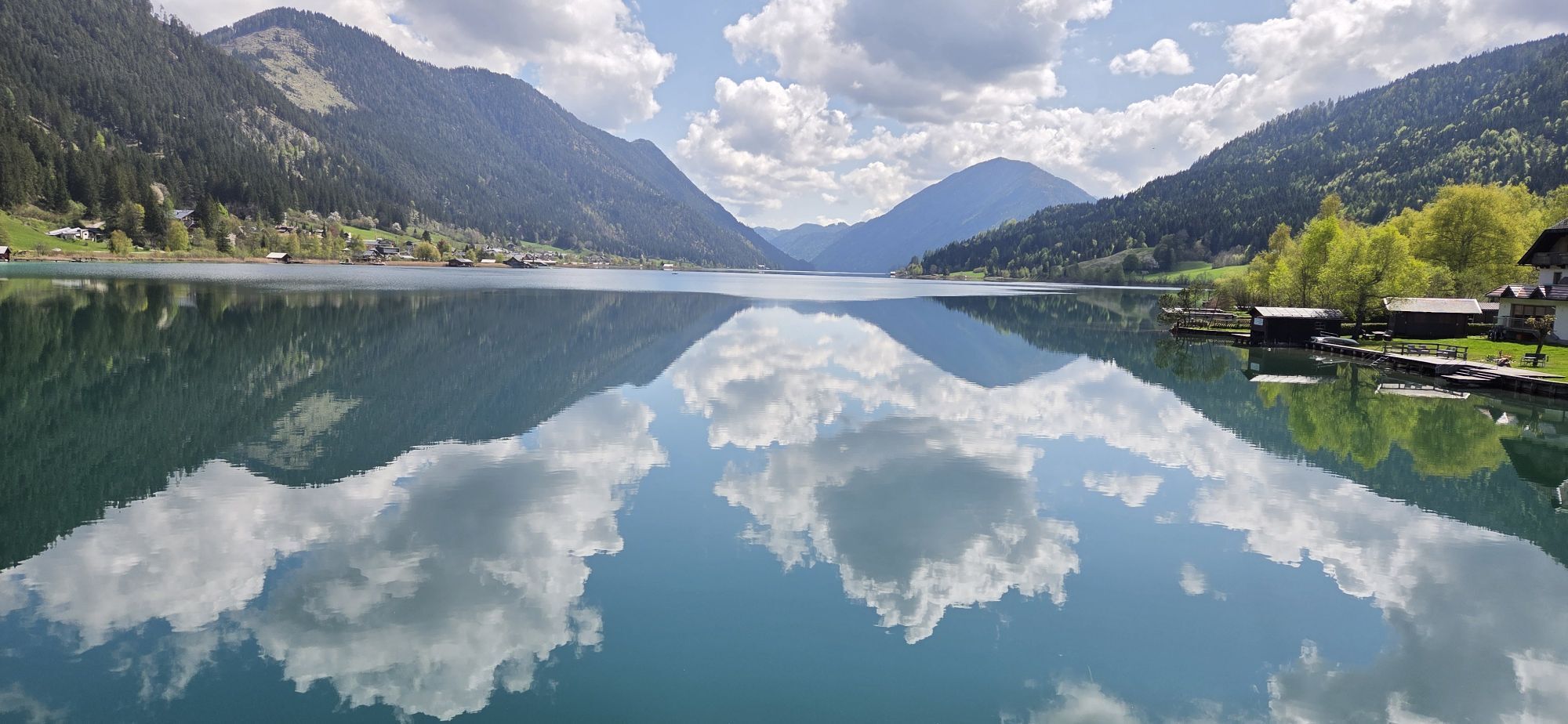
Nature experience: forest, conifer avenue, lakeshore, lake panoramic view (west part), flower meadow, reeds
Obľúbené výlety v okolí
-
4,9
Weissensee Ost- nach Westufer
svetloTuristika 10,2 km -
4,8
Slow Trail Weissensee
strednáTuristika 6,69 km -
4,2
Goldeck Rundwanderung
svetloTuristika 7,40 km -
5,0
RW_N9 Weißenbachklamm
ťažkéTuristika 8,16 km -
4,0
Emberger Alm - Hochtristen
strednáTuristika 9,50 km -
4,6
W5 - Naggler Alm Round Weissensee
strednáMountainbike 15,8 km -
4,8
Goldeck - Gipfelrunde vom Seetal aus
svetloTuristika 8,48 km -
4,5
Bergstation Weißensee bis Golz
strednáTuristika 14,8 km -
4,8
Drau Cycle Path R1
svetloCyklistika 75,9 km -
5,0
Weissensee Steinwandpfad
strednáTuristika 9,10 km
Turistika a stopovanie


Nenechajte si ujsť ponuky a inšpiráciu na ďalšiu dovolenku
Vaša e-mailová adresa bol pridaný do poštového zoznamu.