


Lake Wörthersee - Lake Ossiacher See
Úroveň náročnosti: 3


Fotografie našich používateľov
-

 © Fritz SchernthanerVytvorené dňa 31.08.2025
 -
 © Wörni68Vytvorené dňa 12.08.2025
 -
 © Wolfgang HörthVytvorené dňa 20.06.2025
 -
 © Thomas Michalek 1Vytvorené dňa 07.06.2025
 -
 © MAD77Vytvorené dňa 31.05.2025
 -
 © JoHuVytvorené dňa 01.05.2025
 -
 © JoHuVytvorené dňa 01.05.2025
 -
 © JoHuVytvorené dňa 27.04.2025
 -
 © JoHuVytvorené dňa 27.04.2025
 -
 © JoHuVytvorené dňa 27.04.2025
 -
 © Klaus RothenwänderVytvorené dňa 20.06.2023
 -

 © Gerhard PiglmannVytvorené dňa 13.09.2025
 -
 © roxana62Vytvorené dňa 09.09.2025
 -
 © roxana62Vytvorené dňa 09.09.2025
 -
 © roxana62Vytvorené dňa 09.09.2025
 -
 © Gerhard Thaler 2Vytvorené dňa 07.09.2025
 -
 © Thomas Michalek 1Vytvorené dňa 30.08.2025
 -
 © Alois-Gerhard MairitschVytvorené dňa 12.07.2025
 -
 © Alois-Gerhard MairitschVytvorené dňa 12.07.2025
 -
 © Alois-Gerhard MairitschVytvorené dňa 12.07.2025
 -
 © Alois-Gerhard MairitschVytvorené dňa 12.07.2025
 -
 © Alois-Gerhard MairitschVytvorené dňa 12.07.2025
 -

 © Dagmar HoferVytvorené dňa 13.04.2025
 -
 © Albin1958Vytvorené dňa 06.03.2025
 -
 © Gerhard PiglmannVytvorené dňa 07.09.2024
 -
 © Dagmar HoferVytvorené dňa 04.05.2023
 -
 © Dagmar HoferVytvorené dňa 04.05.2023
 -
 © Dagmar HoferVytvorené dňa 04.05.2023


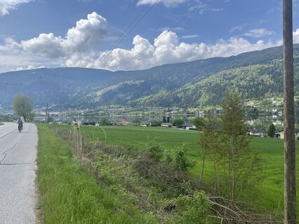
From Velden, it goes steadily slightly uphill through the Sonnental valley to Damtschach with its well-known castle. Then there is time to relax again. It constantly descends slightly towards Wernberg....
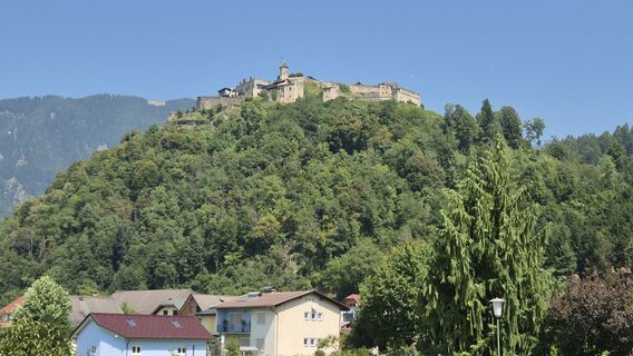
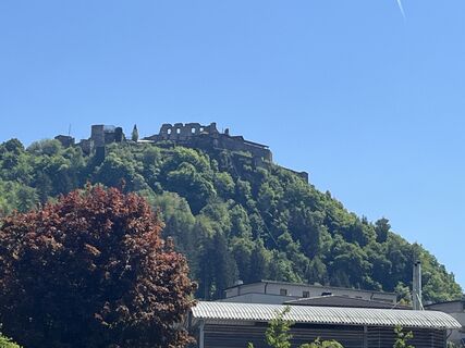
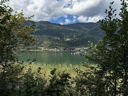
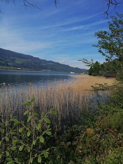
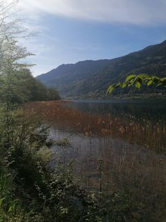
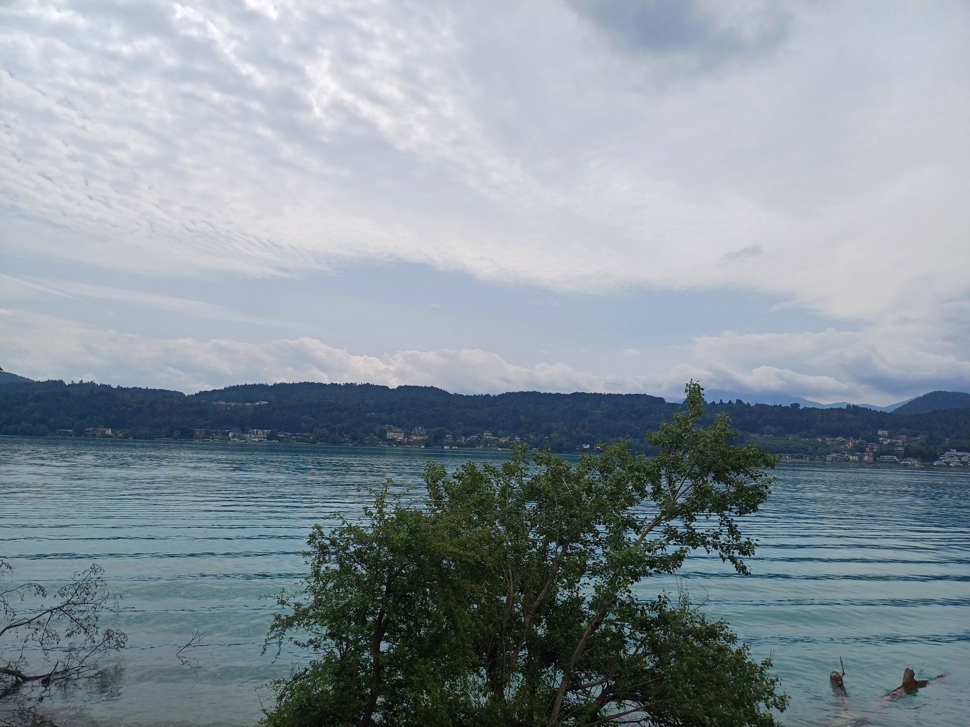
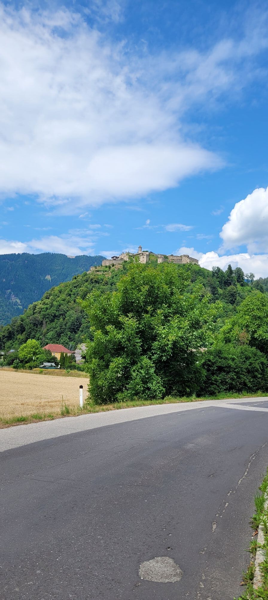
From Velden, it goes steadily slightly uphill through the Sonnental valley to Damtschach with its well-known castle. Then there is time to relax again. It constantly descends slightly towards Wernberg. On small side roads, it goes over Landskron, St. Ruprecht, and Treffen to Lake Ossiacher See. The Landskron ruin is constantly in view.
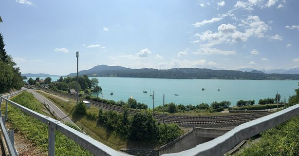
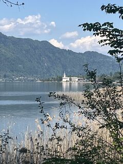
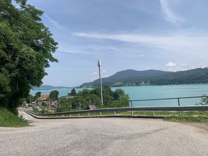
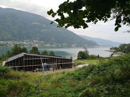
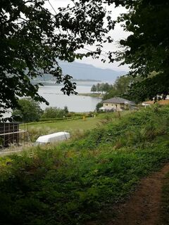
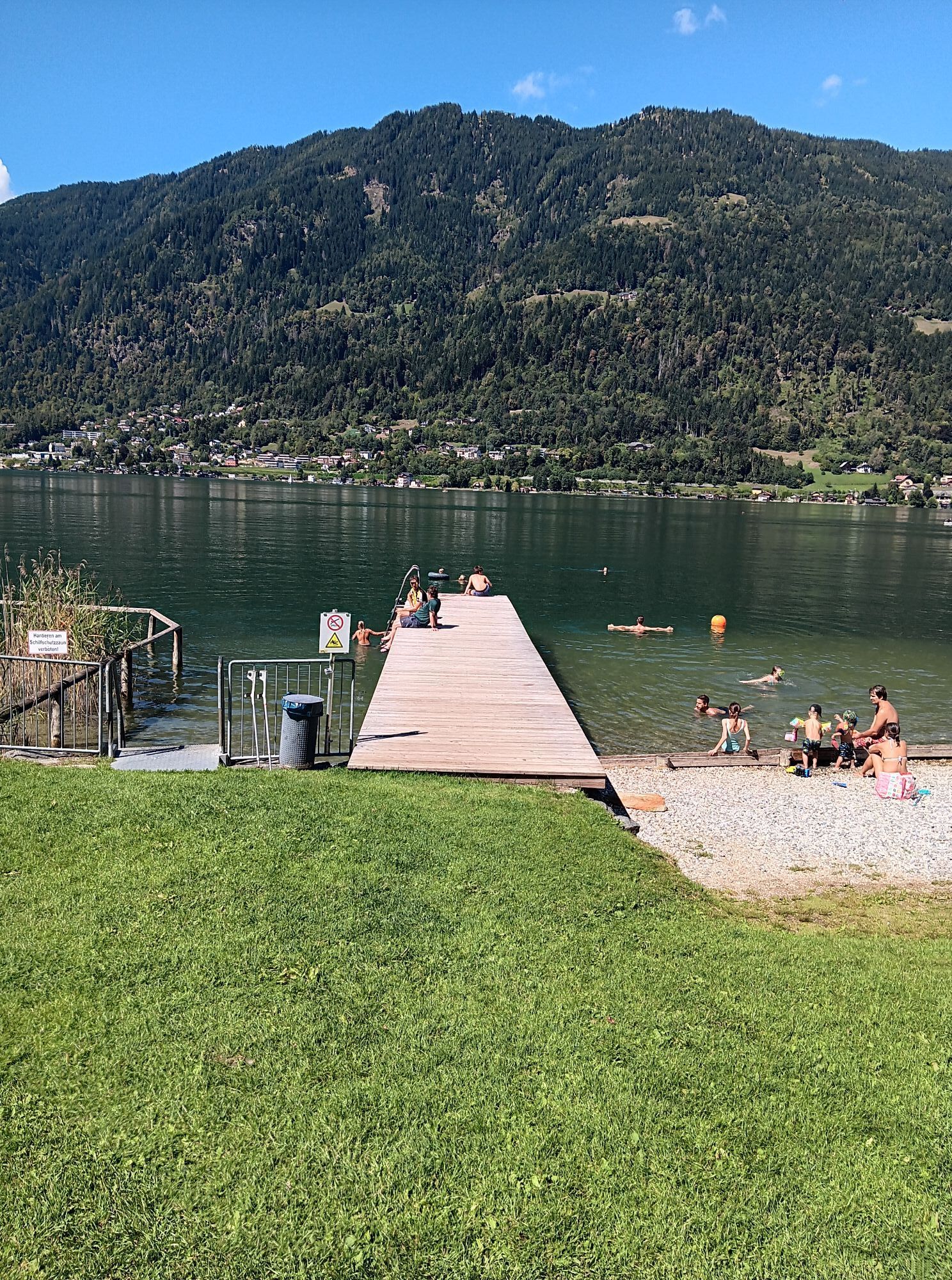
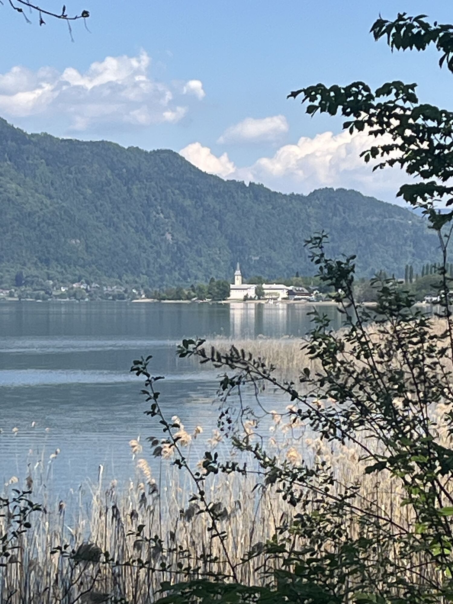
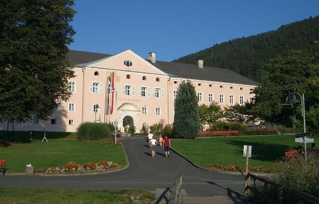
Along the southern shore, it follows the bike path towards Ossiach. The whole time there is a great view of the lake and the Gerlitzen Alpe. The sunniest mountain in Carinthia, at 1,909 m above sea level, is also a popular hiking and excursion destination. Easily accessible by the Kanzelbahn cable car. Of course, you can also take a round trip on the ship on Lake Ossiacher See and enjoy the landscape. In Ossiach, a visit to the Ossiach Abbey is definitely worthwhile. The oldest Benedictine abbey in Carinthia was founded around 1024 as Ossiach Monastery by the Bavarian nobleman Ozi I. and his wife Glismod. In 1028, it was legally sold by their son Ozi II. to his brother Poppo, Patriarch of Aquileia. According to a legend documented since 1521, the Polish king Boleslaus spent his last years as a silent penitent in the monastery and died here in 1069 (?). In 1484, a fire destroyed the church and monastery. The monastery was dissolved in 1783. The buildings were meanwhile used as barracks. In 1816, large parts, including the cloister on the south side of the church, were dismantled. From 1872 to 1915 the monastery was used again as barracks and stud farm. In 1946, it was transferred to the Austrian Federal Forests. It was then converted into a hotel, and since 1969 musical events of the "Carinthian Summer" have taken place in the summer months. Owner and use: Owner: Province of Carinthia (since 1995). From October 2006 to June 2009 the abbey was revitalized and expanded with an adjoining new building to become the music and event center of the Carinthian Music Academy Ossiach Abbey.
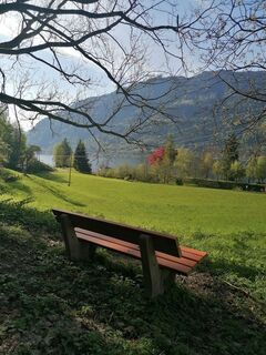
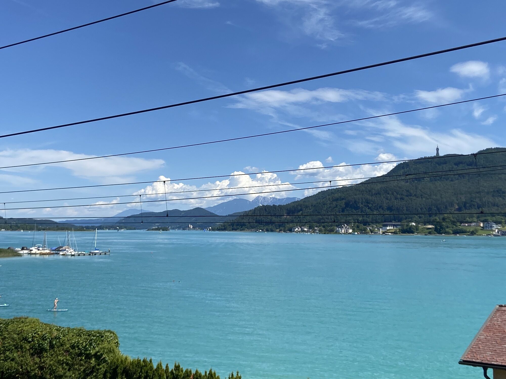
On little-traveled roads, the route goes over Höfling, Oberglan, Nußweg, Knasweg, and Stallhofen back to Pörtschach. Small villages, hills, and hardly traveled side roads shape the landscape here, which is very different from the lake regions. From Pörtschach, it goes back to Velden on the Lake Wörthersee bike path.


Velden - Sonnental - Kantnig - Damtschach - Wernberg - Zauchen - Gratschach - Urlaken - Kumitz - St. Ruprecht - Töbring - Treffen - Oberdorf - Niederdorf - St. Andrä - Ossiach - Prefelnig - Prägrad - Höfling - Oberglan - Nußweg - Knasweg - Stallhofen - Windischberg - Pörtschach - Töschling - Saag - Velden
On the A10 or A2 or B83 from the direction of Villach or Klagenfurt to Velden
Arrival by bus or train possible
Parking spaces at the Velden ice rink
3
Webové kamery z prehliadky
-
Gerlitzen Gipfel
-
Gerlitzen Gipfel
-
Gerlitzen Gipfel
-
Gerlitzen Gipfel
-
Aussichtsturm Pyramidenkogel
-
Parkhotel Pörtschach
-
Velden - Bootswerft Schmalzl
-
Hotel Schloss Seefels
-
Faaker See
-
Faaker See
-
Faaker See
-
Faaker See
-
Faaker See
-
Faaker See
-
Ossiach/Ossiachersee
-
Ossiach/Ossiachersee
-
Ossiach/Ossiachersee
-
Ossiach/Ossiachersee
-
Ossiach/Ossiachersee
-
Ossiach/Ossiachersee
-
Annenheim/Ossiacher See
-
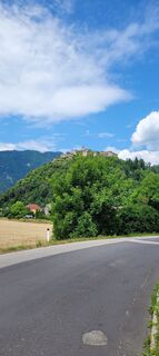
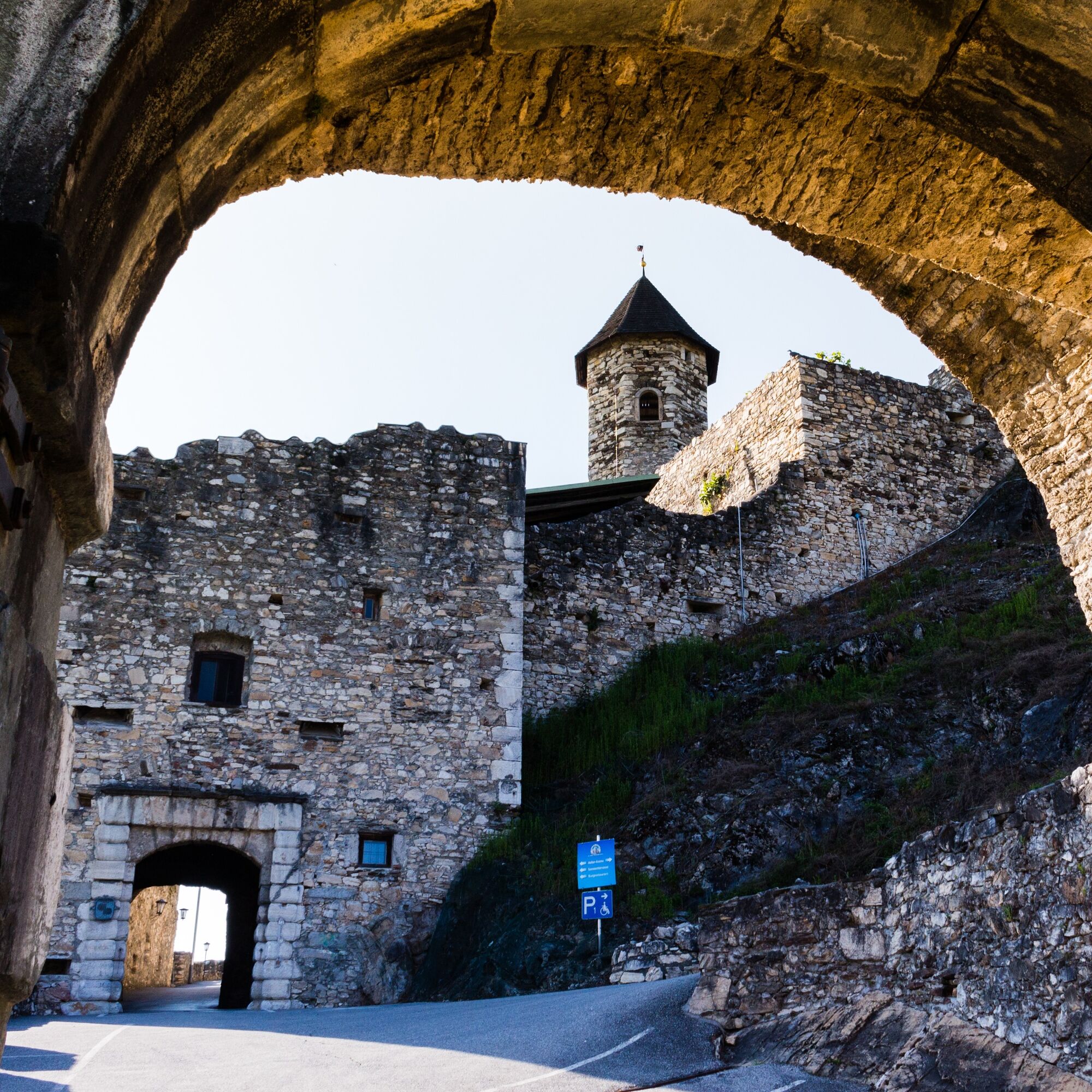
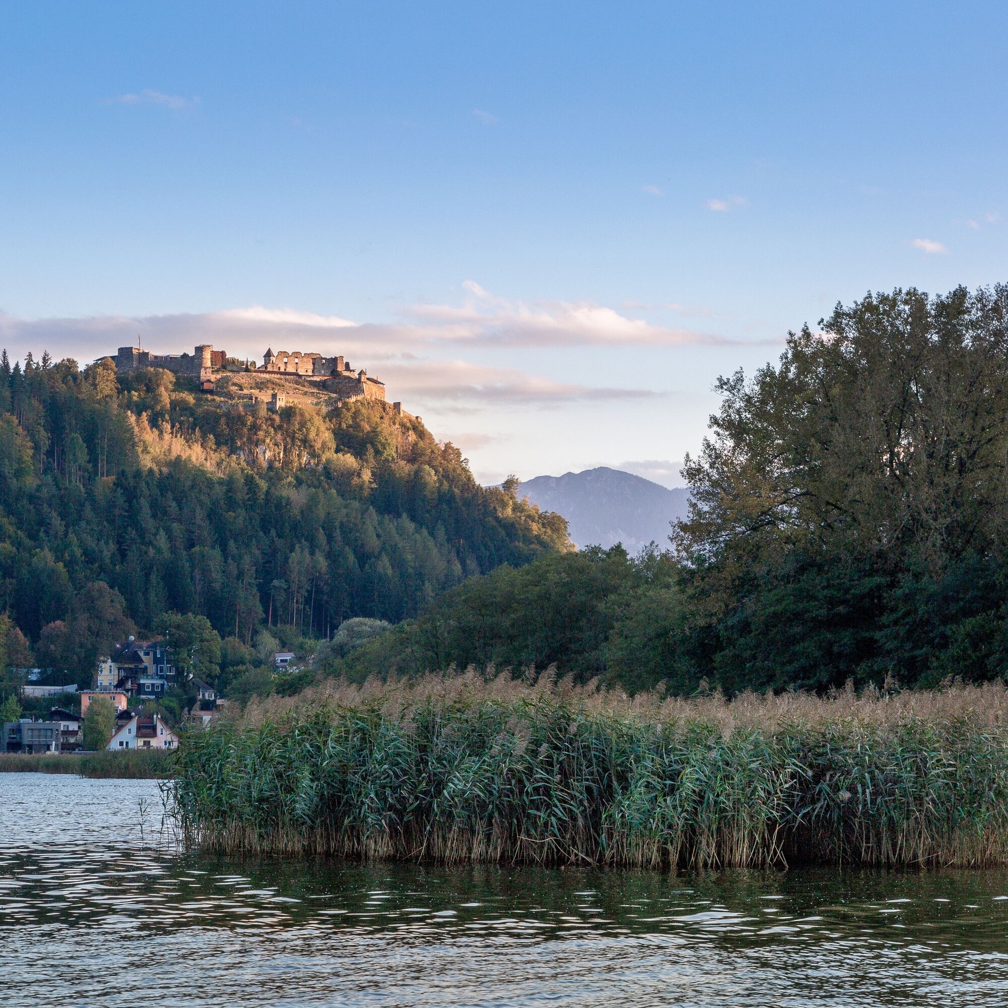
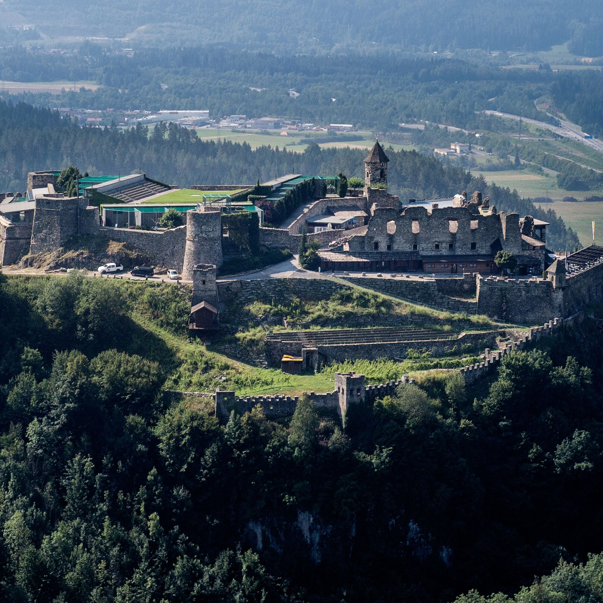
Landskron
-
Wörthersee / Saag
-
Villach - Friedensbrücke
-
Gerlitzen Gipfel
-
Gerlitzen Mittelstation Kanzelhöhe
-
Gerlitzen Mittelstation Kanzelhöhe
-
Gerlitzen Mittelstation Kanzelhöhe
-
Gerlitzen Mittelstation Kanzelhöhe
-
Aussichtsturm Pyramidenkogel
-
Velden - Barry Memle
-
Velden - Barry Memle
-
Observatorium Kanzelhöhe
-
Observatorium Kanzelhöhe
-
Observatorium Kanzelhöhe
-
Observatorium Kanzelhöhe
-
Observatorium Kanzelhöhe
-
Observatorium Kanzelhöhe
-
Observatorium Kanzelhöhe
-
Observatorium Kanzelhöhe
Obľúbené výlety v okolí
-
4,2
Lake Wörthersee Round Trip (Wörthersee - Keutschacher Seental)
strednáCyklistika 48,2 km -
3,9
Lake Wörthersee Circular Route
strednáCyklistika 41,2 km -
3,6
Forstsee Runde
svetloTuristika 4,26 km -
4,3
Pyramidenkogel path Maria Wörth
strednáTuristika 10,8 km -
3,9
Faakersee Rundweg
svetloTuristika 9,55 km -
4,3
Slow Trail Brahmsweg
strednáTuristika 5,86 km -
3,3
Around Lake Ossiach
strednáCyklistika 68,7 km -
3,8
Lake Ossiach cycle path - R2 and R2A
strednáCyklistika 28,2 km -
5,0
Pyramidenkogelweg Keutschach
strednáTuristika 13,8 km -
4,0
Slow Trail Bleistätter Moor
svetloTuristika 7,22 km
Turistika a stopovanie


Nenechajte si ujsť ponuky a inšpiráciu na ďalšiu dovolenku
Vaša e-mailová adresa bol pridaný do poštového zoznamu.