
- Stručný popis
-
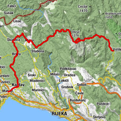
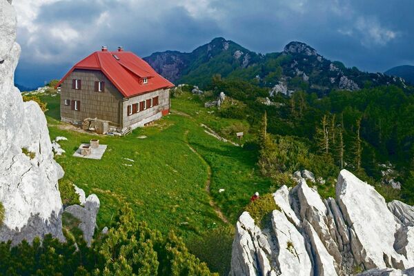
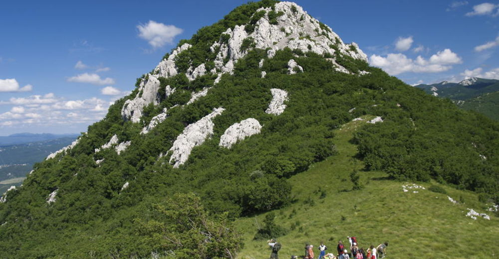
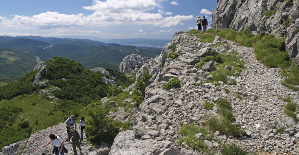
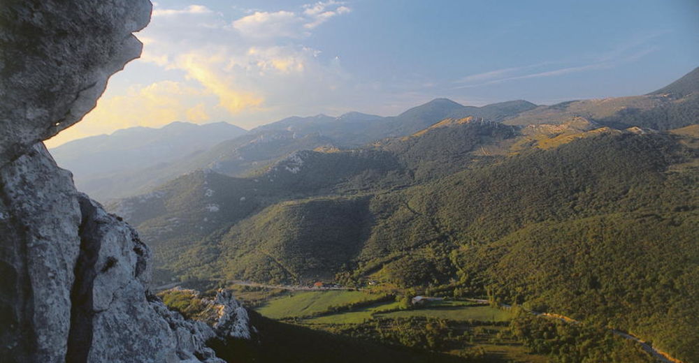
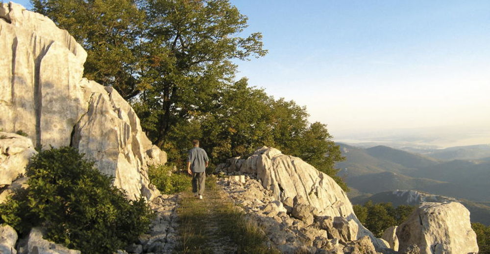
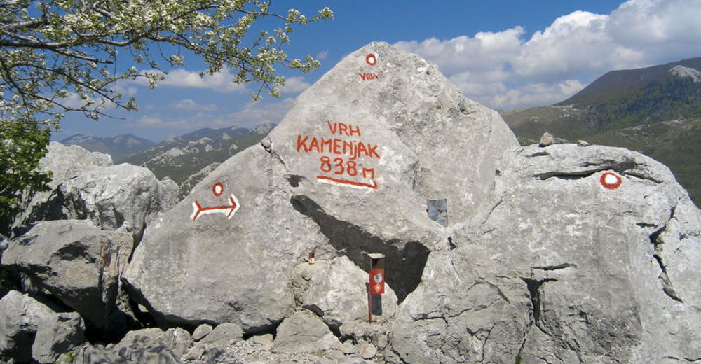
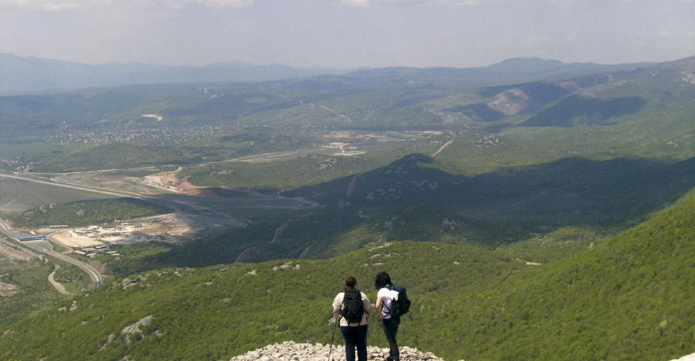
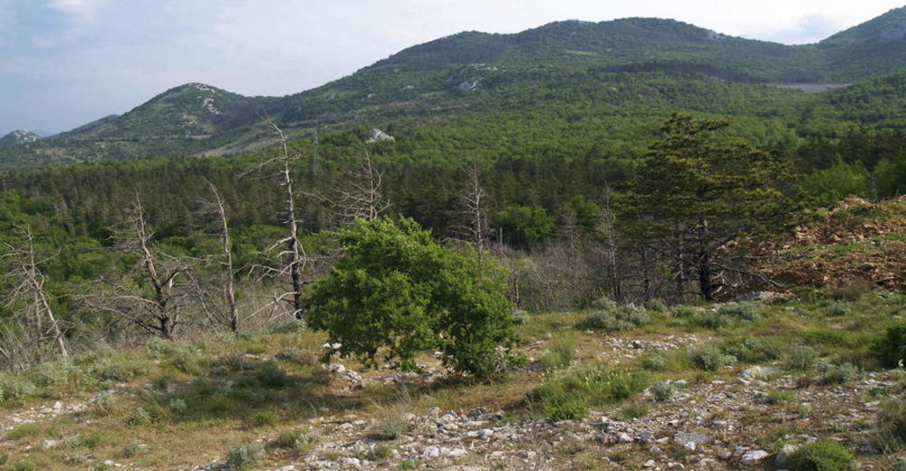
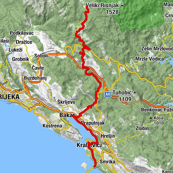
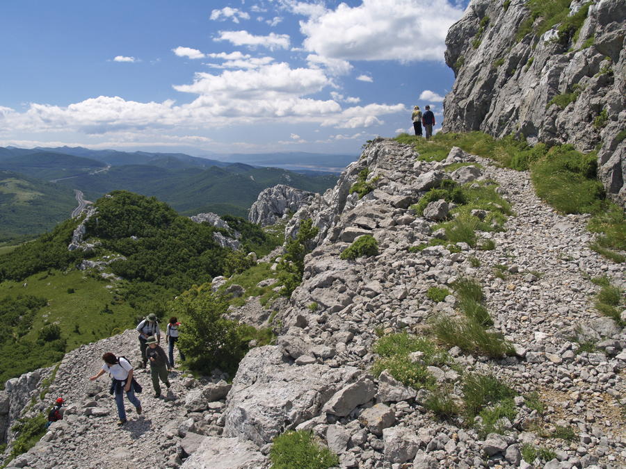
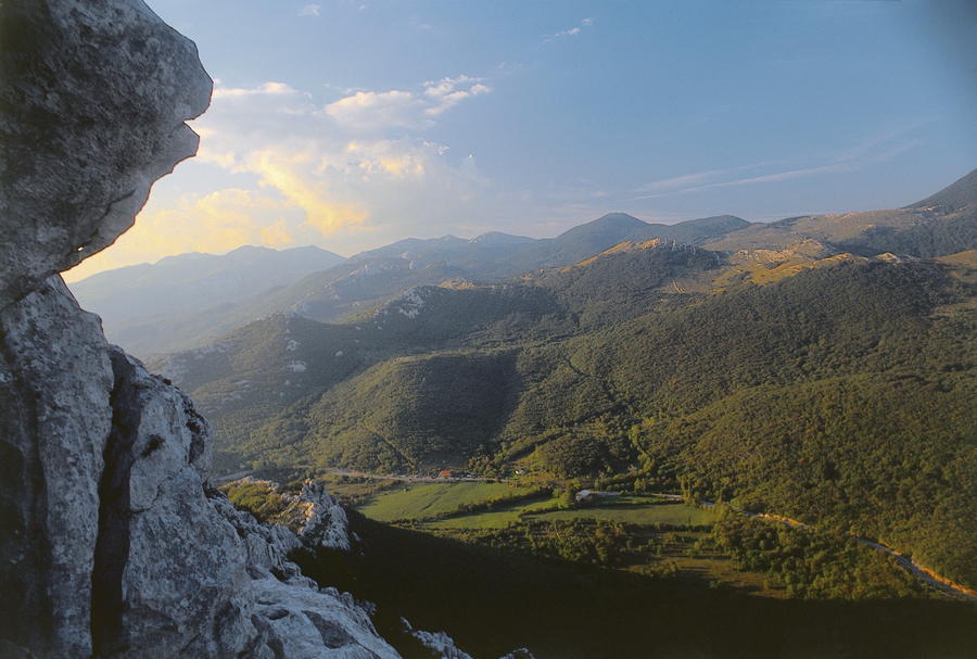
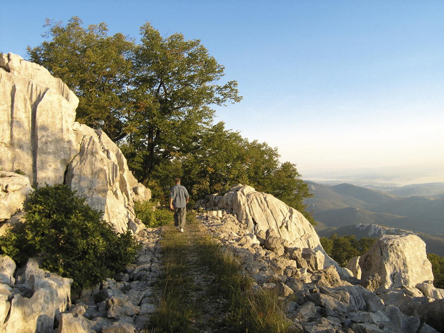
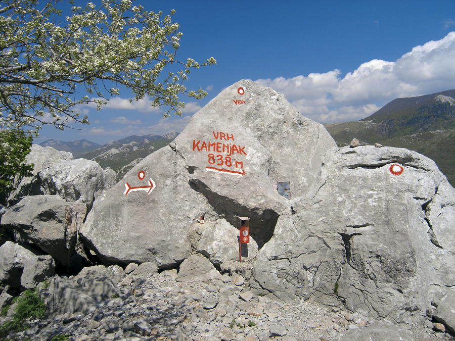
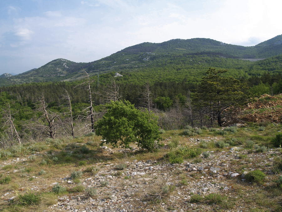
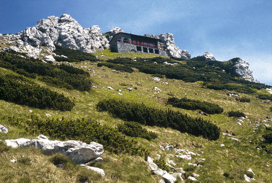
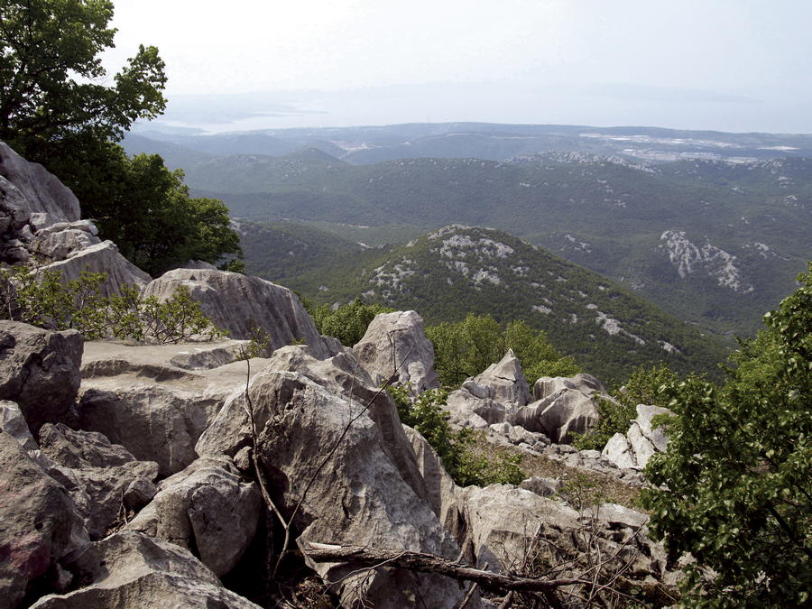
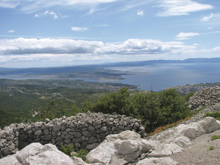
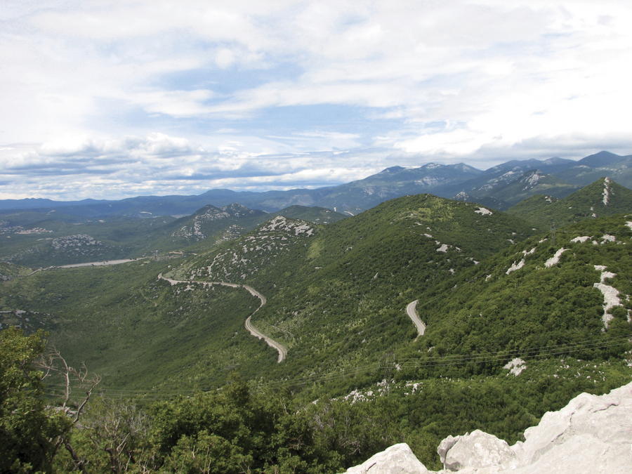
There are several route options leading from Hahlić towards Platak, and these routes partially overlap. Therefore, hikers should have a map of the area with them. It takes 3 to 4 hours of hiking to get from Hahlić to Platak. This section is part of the Rijeka Hiking Tour (Riječka planinarska obilaznica, RPO). In the hinterland of Rijeka, the Blue Line of Via Dinarica descends from Platak towards Kamenjak and further to the bridge Krčki most, where Via Dinarica crosses to the island of Krk. In the area below Platak, there are many relatively low peaks rising from the slope that descends from the littoral edge of the mountainous region of Gorski kotar towards the sea. These peaks represent great and accessible viewpoints, since they are bare at the top. The area is crisscrossed by old military paths (mulatijere or "mule tracks"), and it is full of bunkers, trenches and artillery positions along the so-called Rupnik Line that the Kingdom of Yugoslavia had built along the then Italian border. With its views and wonderful nature, the most attractive site by far is Kamenjak, rising east of Grobničko polje. In the area above the bay of Bakarski zaljev, there are many other relatively low but interesting peaks – worth mentioning are Suhi vrh, Ljubibelj, Svib, Velika Lakovica and Mala Lakovica. There are many available paths in good condition in this area; however, orientation may be challenging due to numerous intersections and complex relief. The route of Via Dinarica descends to Bakarski zaljev and proceeds towards Krčki most.
- Obtiažnosť
-
stredná
- Hodnotenie
-
- Trasa
-
Veliki Dom RestaurantPlaninarski dom "Sušak"0,6 kmVeliki Kamenjak (837 m)10,7 kmMali Kamenjak (760 m)11,8 kmKrasica22,8 kmBuccari24,7 kmKonoba Portić29,4 kmBuccarizza29,4 kmPorto Re31,4 km
- Najlepšia sezóna (ročné obdobie)
-
janfebmaraprmájjúnjúlaugsepoktnovdec
- Najvyšší bod
- 1.138 m
- Cieľová destinácia
-
Lukovište (Lakovica)
- Profil nadmorskej výšky
-
 © outdooractive.com


-

-
AutorPrehliadka Via Dinarica HR-B-05 Platak / hinterland of the city of Rijeka používa outdooractive.com na stránke ..


-
Crikvenica
35
-
Rijeka
3