

- Stručný popis
-
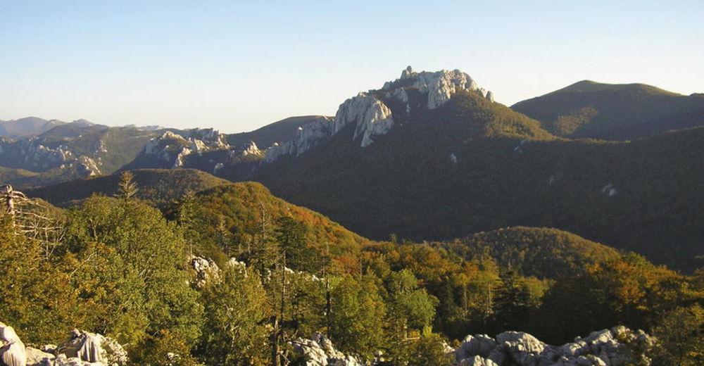
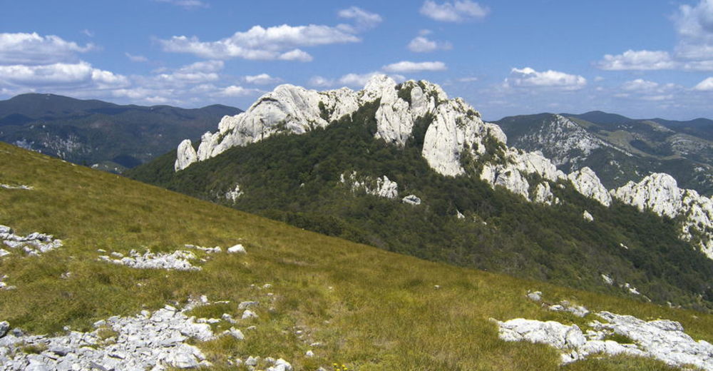
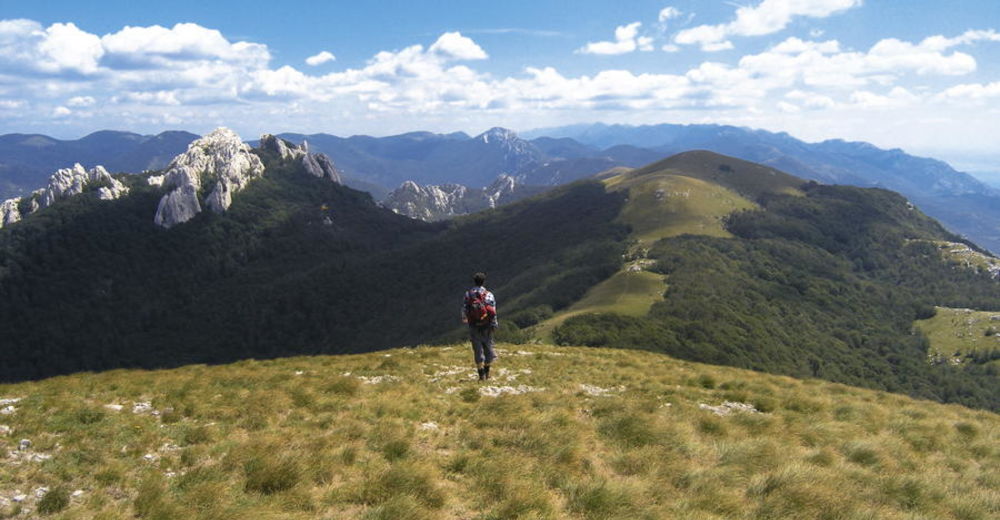
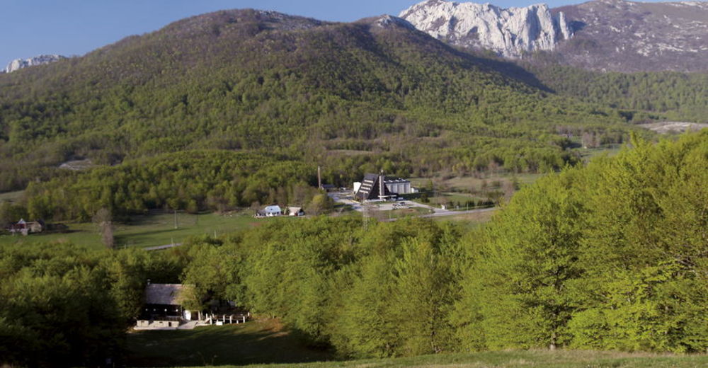
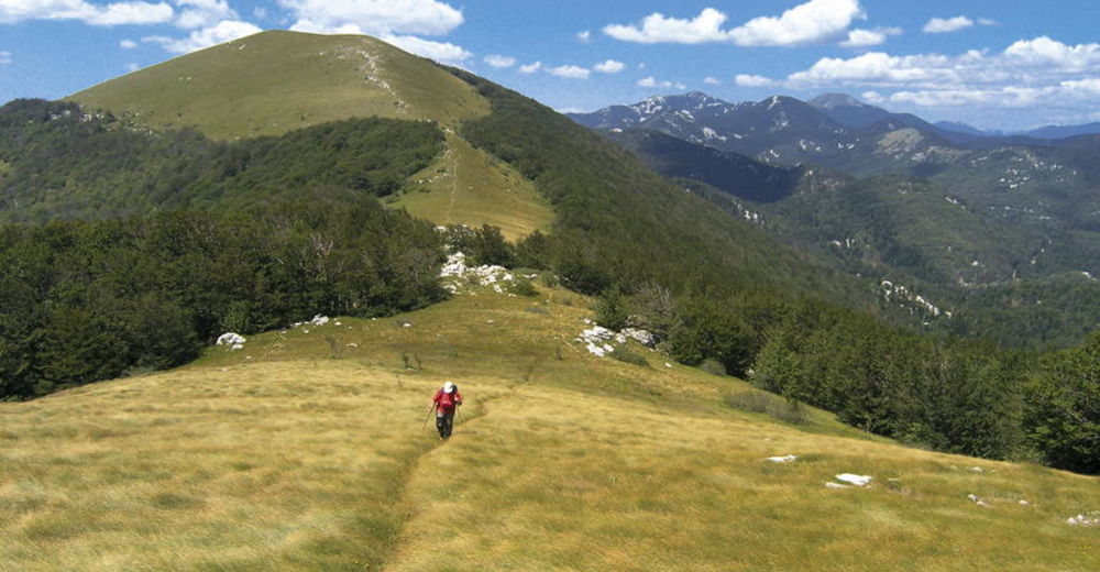
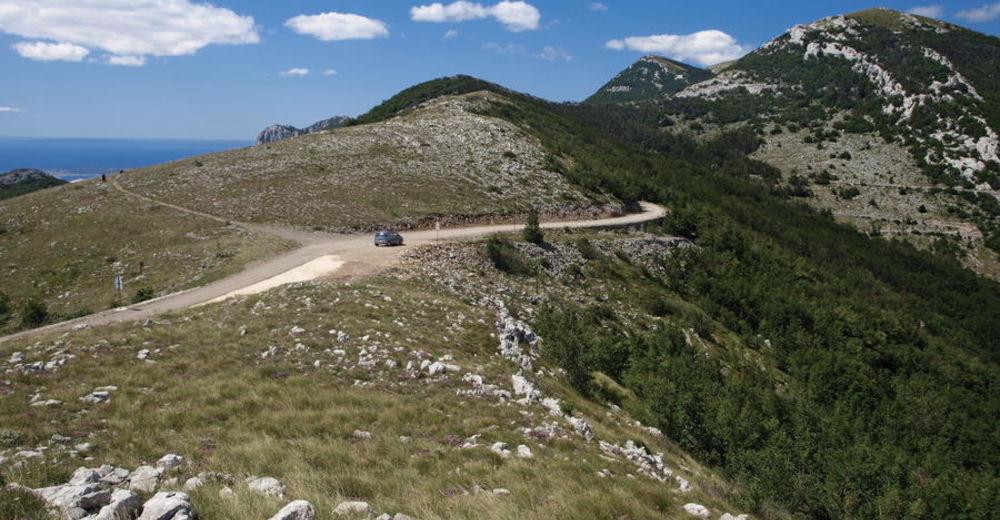
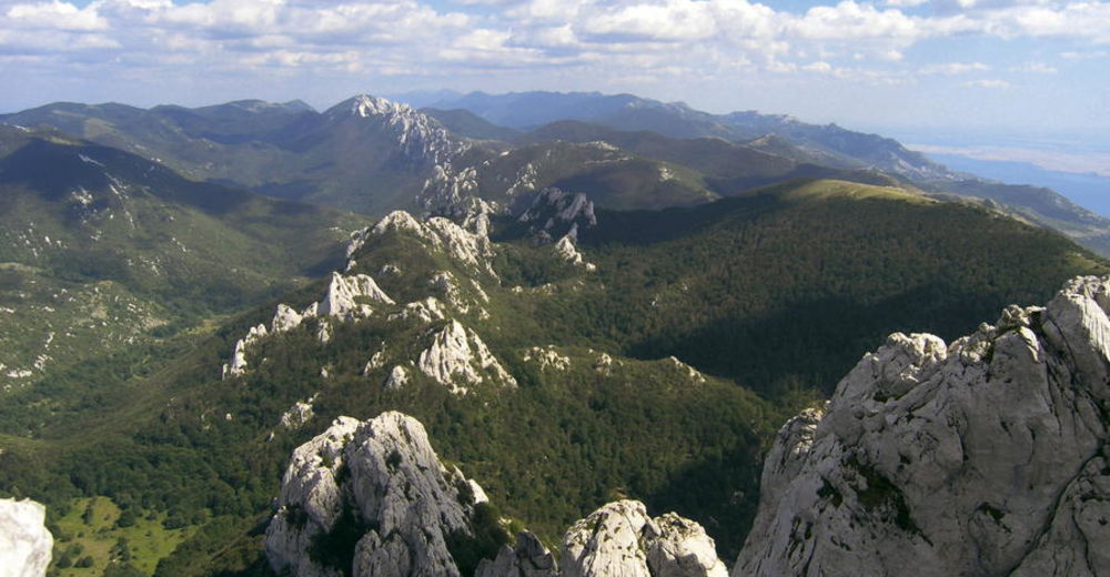
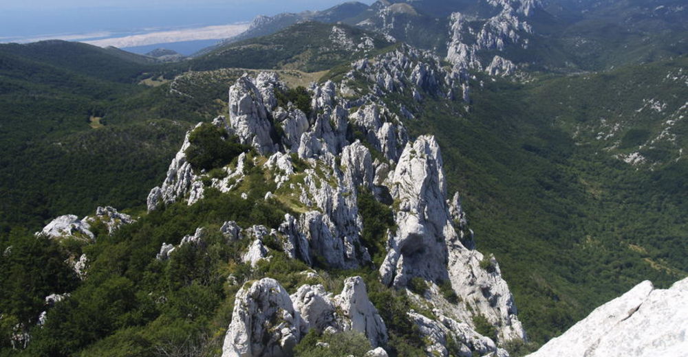
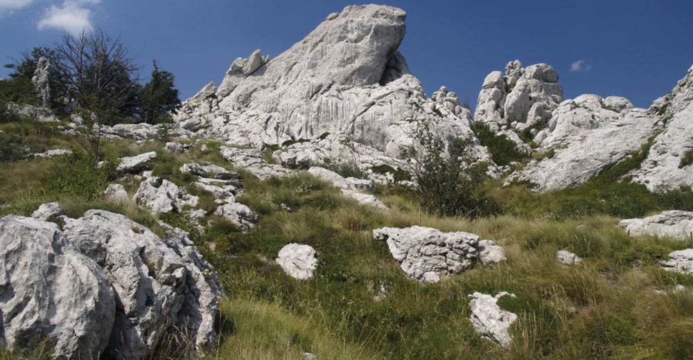
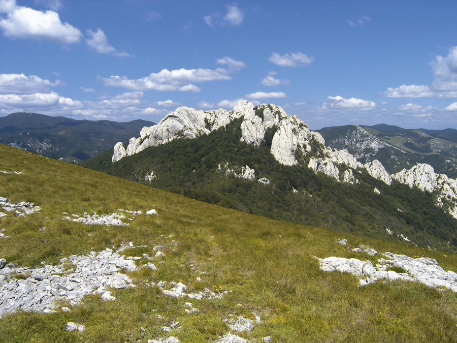
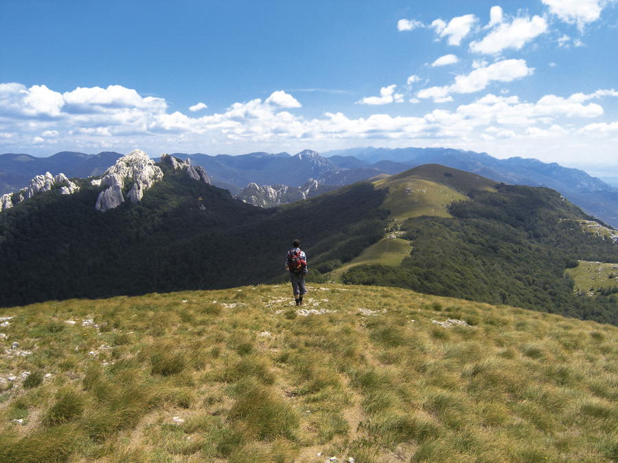
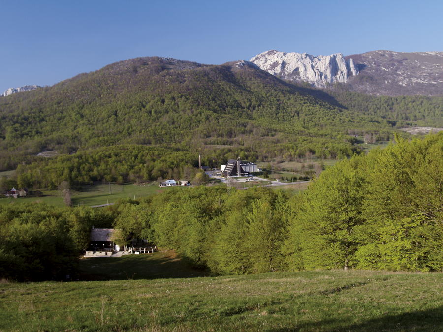
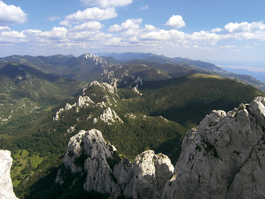
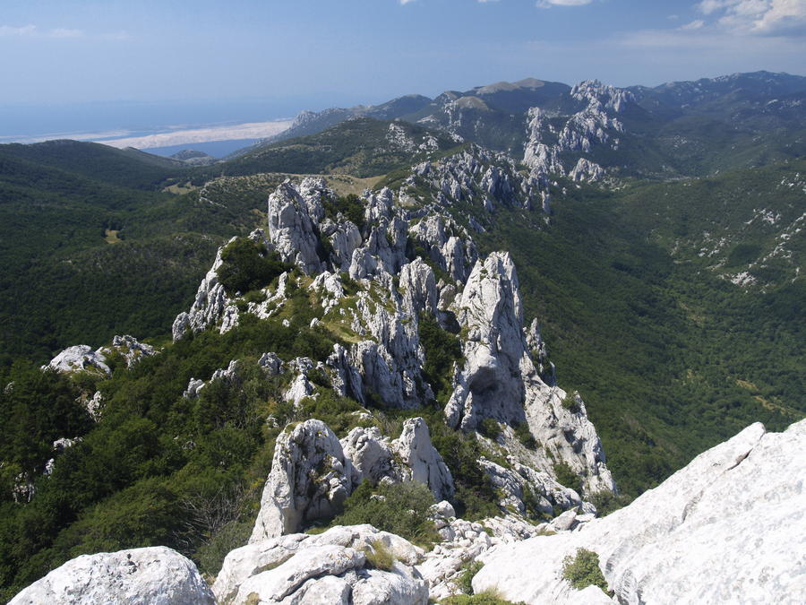
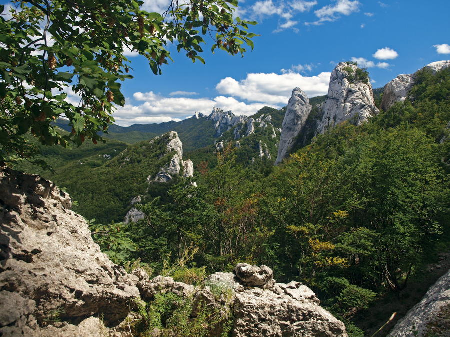
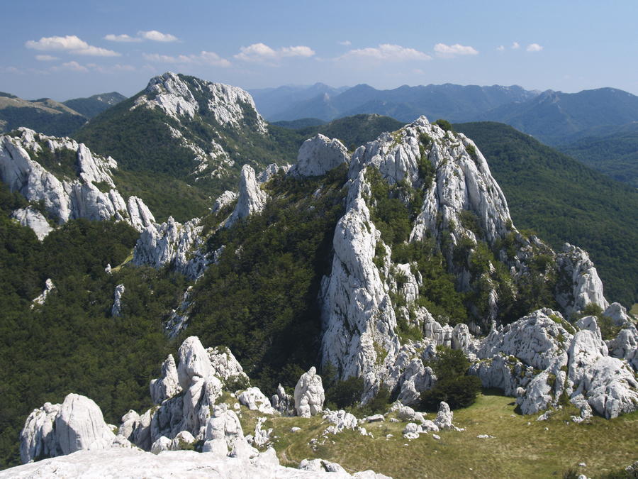
Unlike the section of central Velebit to the north, which is higher, but also characterized by grassland peaks with gentle terrain, the continuation of this ridge from Bačić kuk to Ljubičko brdo above Oštarije is completely different. Here, as in no other place in the area, we come across an orderly series of white limestone peaks, extending parallel with the Adriatic coast towards the southeast for almost 10 kilometers, rising out of the green forest cover and grassland karst valleys. The most prominent of these peaks are Bačić kuk, Kukaline, Butinovača, Kiza, Grabar and Ljubičko brdo. Along their northeastern base, we come across a series of wide karst depressions, with three most impressive among them known as dabri (Crni dabar, Ravni dabar and Došen dabar). The fourth prominent depression is known as Bačić duliba, and the fifth as Crna duliba. Unlike other rocky peaks of Velebit, the series of peaks known as Dabarski kukovi did not have a joint name for a long time; instead, they were eventually named by hikers, after the three prominent depressions at their base. A longitudinal tour of Dabarski kukovi is a true climbing achievement, although some ridges of Dabarski kukovi do have mountaineering markings.
- Obtiažnosť
-
stredná
- Hodnotenie
-
- Trasa
-
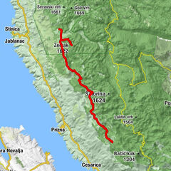
SkorpovacBudakovo brdo (1.317 m)2,5 kmSoline (1.264 m)3,0 kmRipinovac (1.122 m)4,2 kmBačić kuk (1.304 m)4,7 kmPlaninarski dom Ravni dabar9,4 kmDabarska kosa10,8 kmVrilo Petrovac15,2 kmStupačinovo15,3 km
- Najlepšia sezóna (ročné obdobie)
-
janfebmaraprmájjúnjúlaugsepoktnovdec
- Najvyšší bod
- 1.297 m
- Cieľová destinácia
-
Dabarski kukovi
- Profil nadmorskej výšky
-
 © outdooractive.com


-

-
AutorPrehliadka Via Dinarica HR-W-13 Dabri and Dabarski kukovi používa outdooractive.com na stránke ..