© Terra Dinarica - Alan Čaplar

© Terra Dinarica - Alan Čaplar

© Terra Dinarica - Alan Čaplar

© Terra Dinarica - Alan Čaplar

© Terra Dinarica - Davor Tomičić

- Stručný popis
-
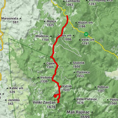
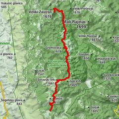
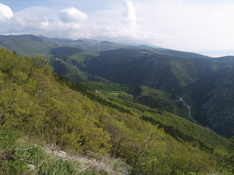
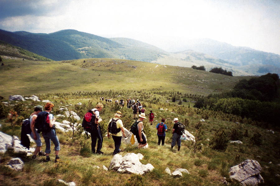
Northern Velebit extends from the mountain pass Vratnik with the Senj – Otočac road to the mountain pass V. Alan with the Jablanac – Krasno road, and it is 30 kilometers long. A typical perception of Velebit as a simple ridge that divides the continental region of Lika from the sea like a wall of some kind is actually a wrong perception, especially in the northern part of Velebit, because this is in fact a spacious mountainous area with its width almost identical to its length at elevations of 1000 meters. In this peak area, we come across many peaks stunningly diverse in shapes and directions of spreading, with many randomly scattered dolines and karst fields all around.
- Obtiažnosť
-
stredná
- Hodnotenie
-
- Trasa
-
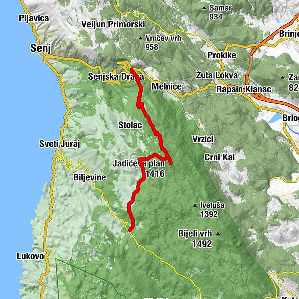
Biace (773 m)0,3 kmJadićeva plan (1.416 m)9,2 kmTuževac14,1 kmOltari17,8 kmKuća Oltari (940 m)17,8 km
- Najlepšia sezóna (ročné obdobie)
-
janfebmaraprmájjúnjúlaugsepoktnovdec
- Najvyšší bod
- 1.401 m
- Cieľová destinácia
-
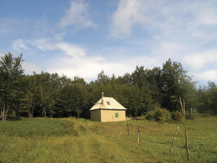
Oltari
- Profil nadmorskej výšky
-
 © outdooractive.com

-

-
AutorPrehliadka Via Dinarica HR-W-09 Senjsko bilo používa outdooractive.com na stránke ..
GPS Downloads


Ďalšie prehliadky v regiónoch
-
Insel Rab
29
-
Sveti Juraj
8