


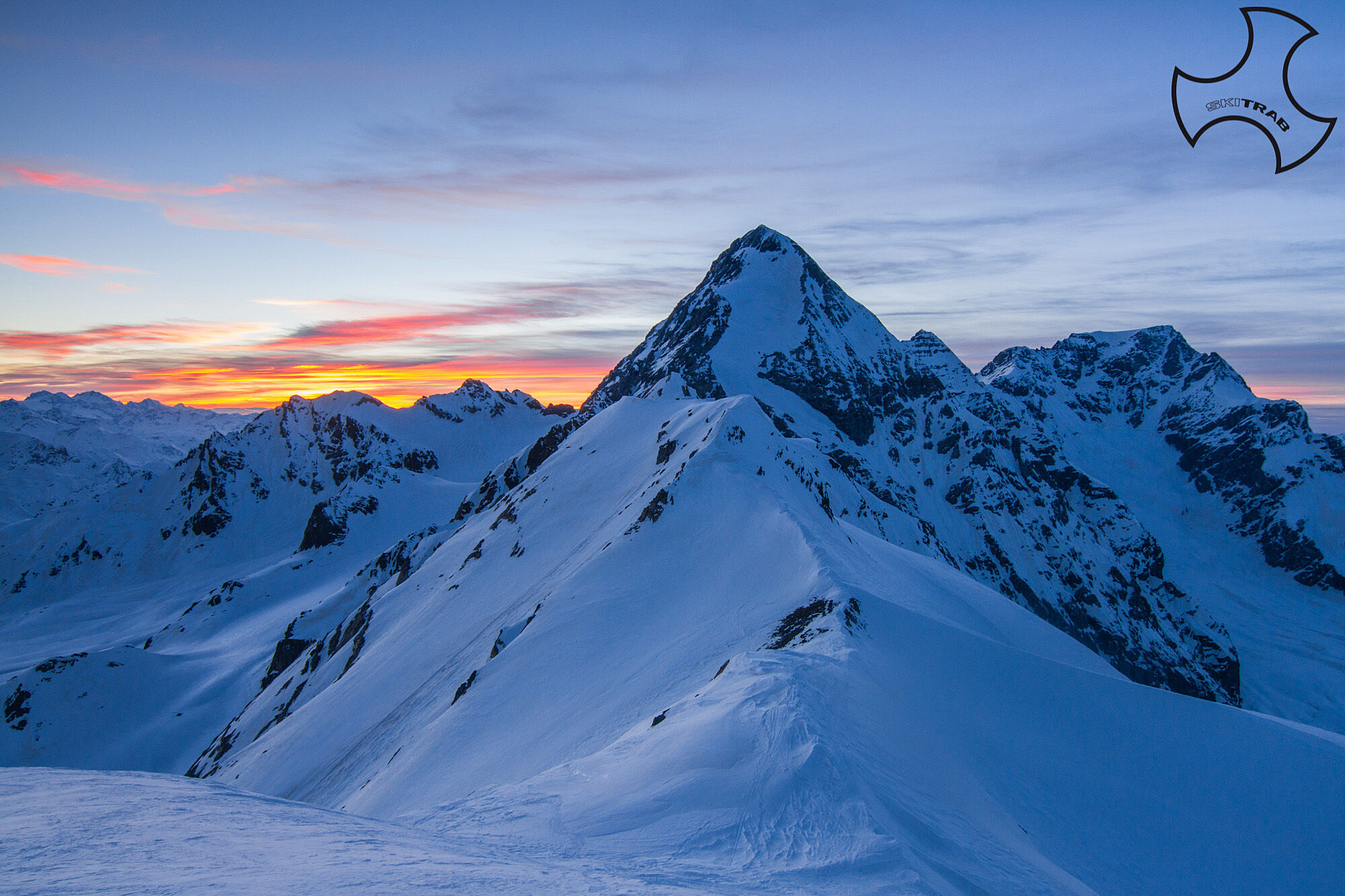
Cima Solda


Fotografie našich používateľov
-

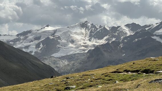
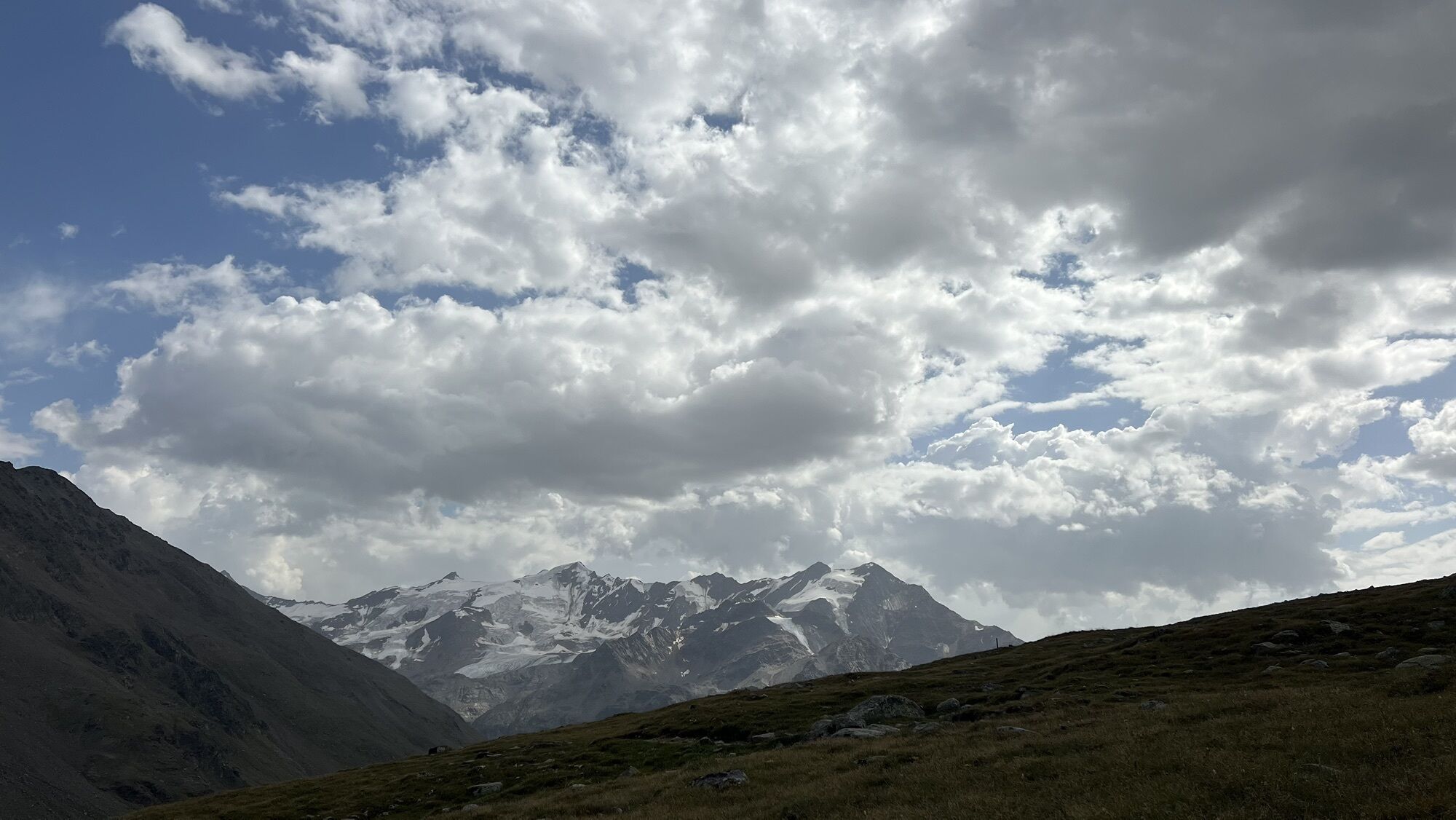
 © Robert FritzVytvorené dňa 13.08.2025
 -
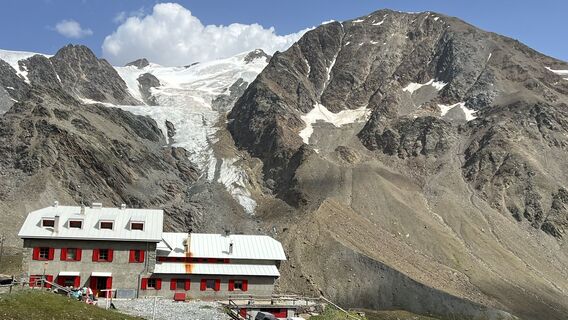
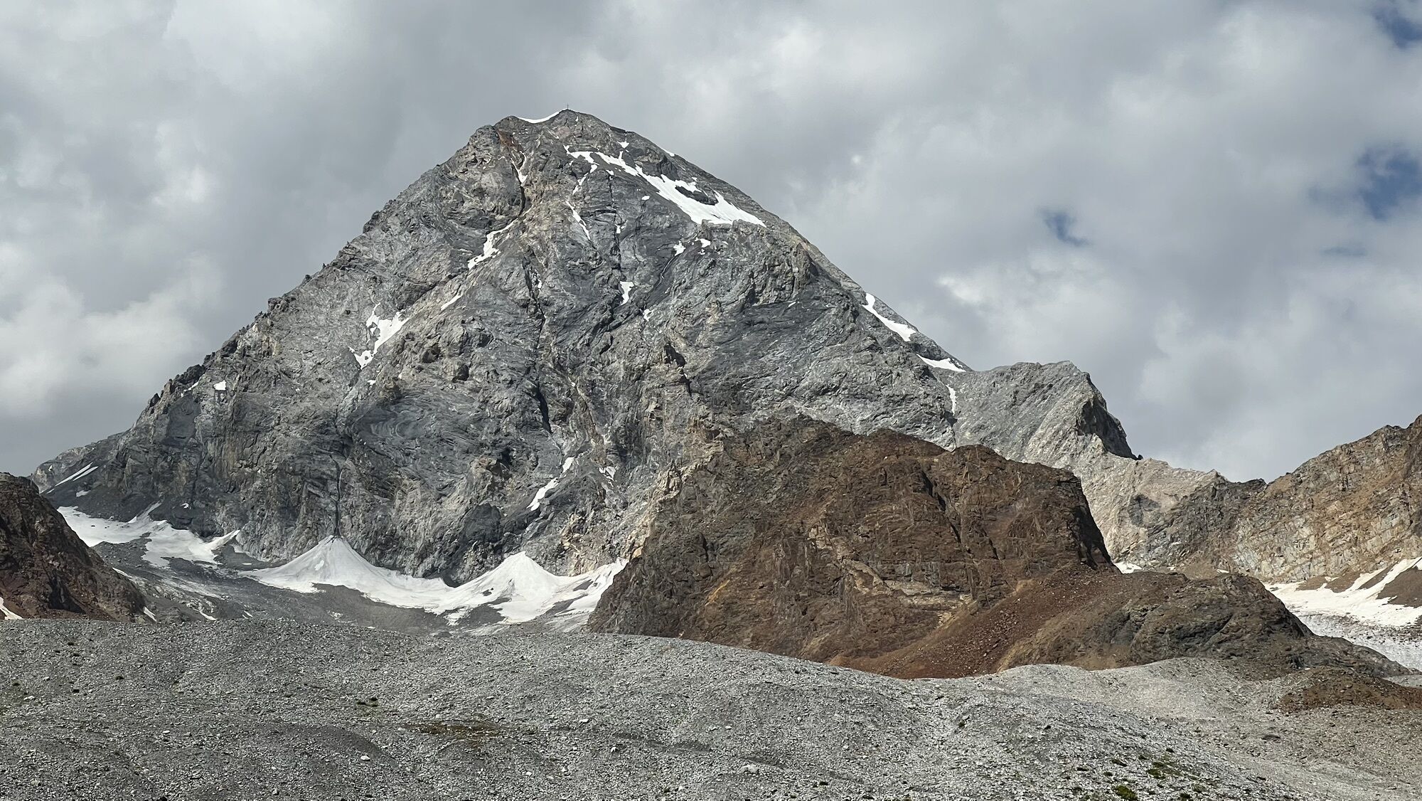
 © Robert FritzVytvorené dňa 13.08.2025
 -
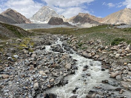
 © Robert FritzVytvorené dňa 13.08.2025
 -
 © Robert FritzVytvorené dňa 13.08.2025
 -
 © Robert FritzVytvorené dňa 13.08.2025
 -
 © Robert FritzVytvorené dňa 13.08.2025
 -
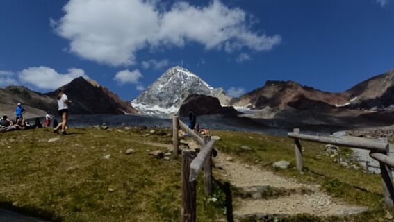
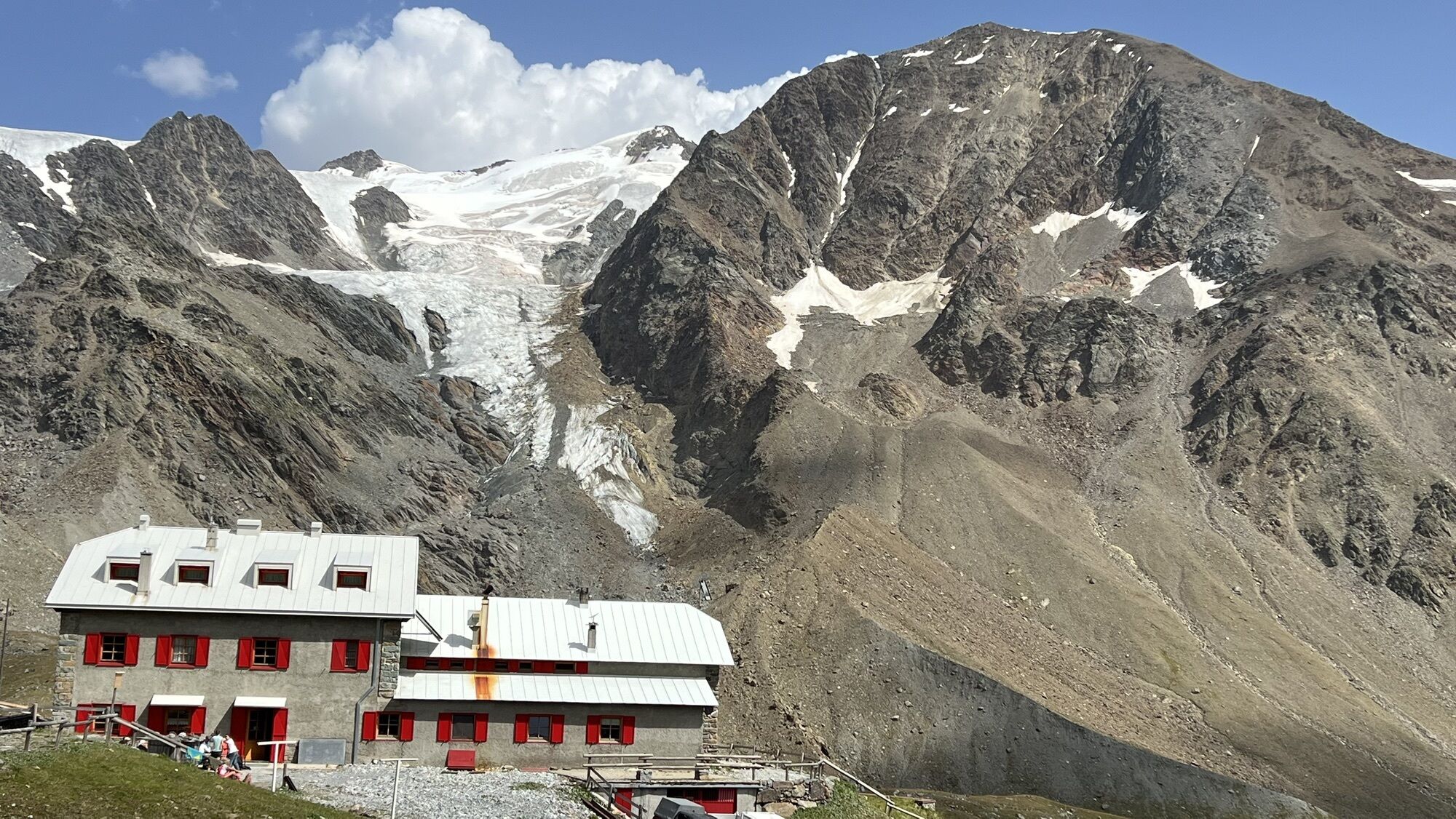
 © Maurizio Dell'acquaVytvorené dňa 10.08.2025
 -
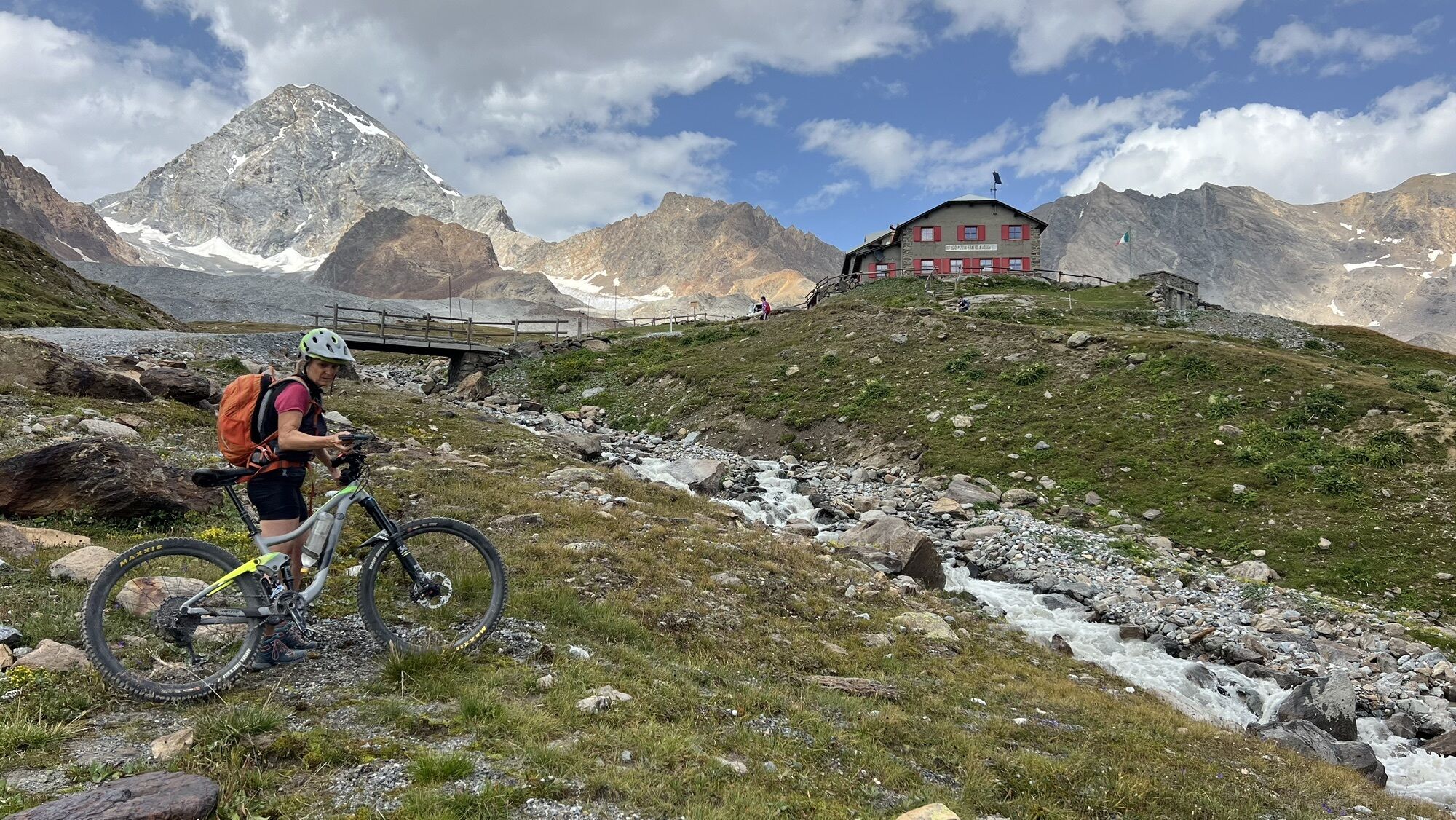
 © Maurizio Dell'acquaVytvorené dňa 10.08.2025


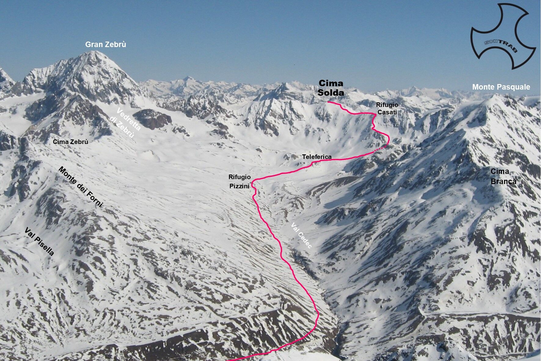
From Forni follow the comfortable mule track that initially climbs two steep switchbacks, then towards the right becomes flatter and, having bypassed the ridge that leads into Val Cedec, continues halfway...
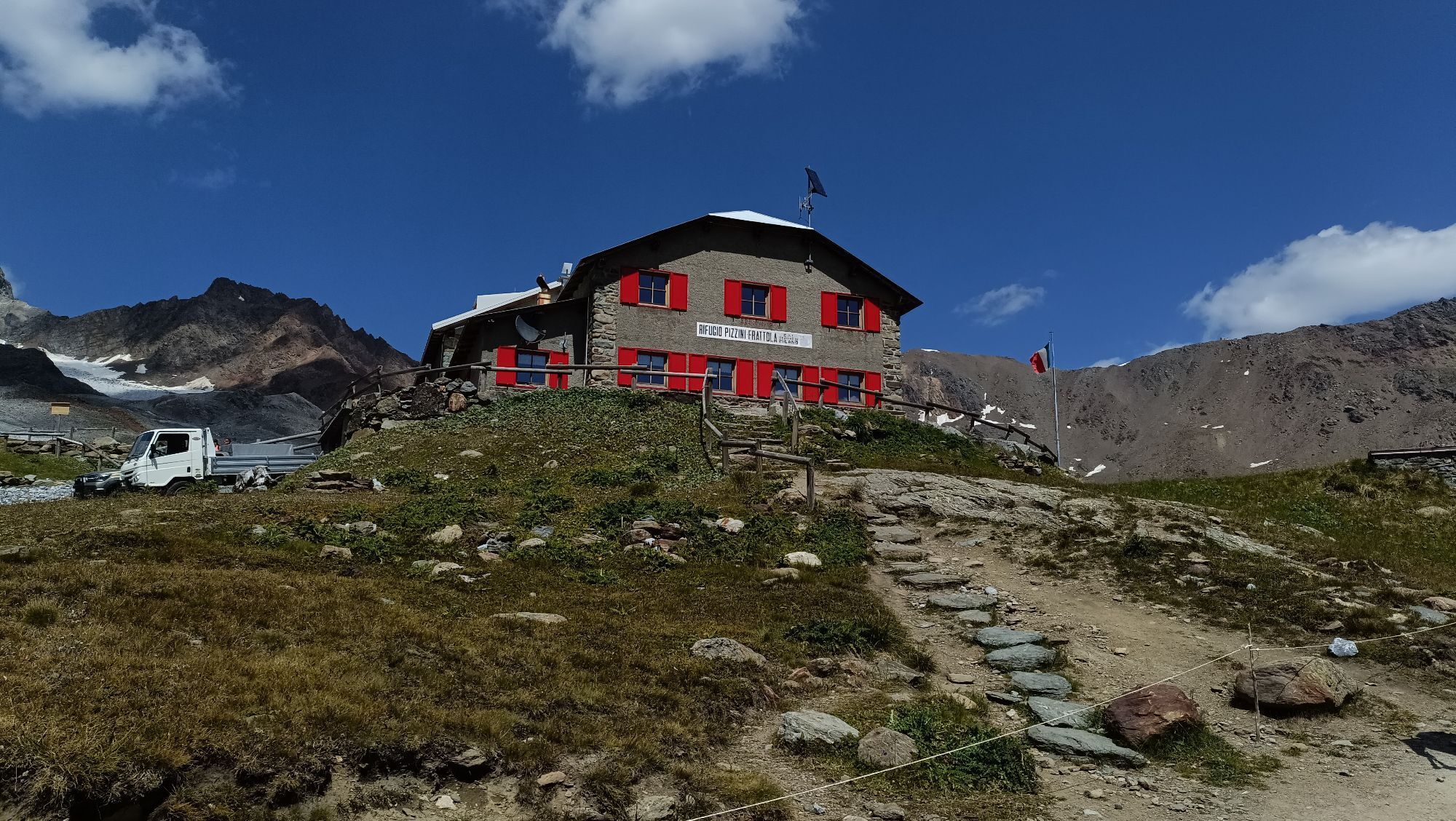
From Forni follow the comfortable mule track that initially climbs two steep switchbacks, then towards the right becomes flatter and, having bypassed the ridge that leads into Val Cedec, continues halfway up and reaches the Pizzini refuge. A trail is always present but in any case the path is very easy and evident. Now continue in a northeast direction until almost to the start of the cable car that leads to the Casati refuge, and just before it veers to the right in an easterly direction, continuing to the right for a few hundred meters and then climbing into the first evident gully on the left. As soon as it softens turn left going to the steep ridge where the last part of the summer trail to the refuge climbs reaching the Cevedale pass where nearby is the Casati refuge at an altitude of 3254 m. From here northward along the ridge, then over a wider bump to the summit.

Cancano church, Solena alpine pasture, Solena Mountain.
Self-rescue equipment (ARTVA, shovel and probe). Rampant.
The route description and trail are approximate and should be verified on site depending on the condition of the snowpack present during the hike.
Because this is a hike in a snowy mountain environment at high altitudes subject to continually changing snowpack conditions, it is advisable to have adequate experience in ski mountaineering, knowledge of the area, and up-to-date information on snow conditions.
Accompaniment with a professional guide is recommended.
Ample parking spaces at the Forni.
The route description and trail are approximate and should be verified on site depending on the condition of the snowpack present during the hike.
Because this is a hike in a snowy mountain environment at high altitudes subject to continually changing snowpack conditions, it is advisable to have adequate experience in ski mountaineering, knowledge of the area, and up-to-date information on snow conditions.
Accompaniment with a professional guide is recommended.
Obľúbené výlety v okolí
-
4,8
Martellerhütte Höhenweg
strednáVysoké turné 8,70 km -
3,7
Von Sulden zur Hinteren Schöntaufspitze
strednáTuristika 12,7 km -
Wanderung/Aufstieg zur Payerhütte
svetloTuristika 15,9 km -
5,0
Martell-Tal Rundweg zur Marteller Hütte
svetloTuristika 10,8 km -
4,9
Plimaschlucht
svetloHorská turistika 7,23 km -
4,8
Val Martello - Trentino Alto Adige - rifugio Martello - giro ad anello- Cevedale
strednáTuristika 9,40 km -
3,7
Düsseldorfer Hütte 2721m
strednáTuristika 4,14 km -
5,0
Ortler über Hintergrat
ťažkéVysoké turné 8,03 km -
4,5
Obervinschgau - Madritschjoch, der höchste Transalp Übergang
Mountainbike 9,54 km -
4,5
Suldenspitze
svetloVysoké turné 7,69 km
Turistika a stopovanie


Nenechajte si ujsť ponuky a inšpiráciu na ďalšiu dovolenku
Vaša e-mailová adresa bol pridaný do poštového zoznamu.