© Ferienregion Andermatt - Andermatt-Urserntal Tourismus GmbH

© Ferienregion Andermatt - Andermatt-Urserntal Tourismus GmbH

© Ferienregion Andermatt - Andermatt-Urserntal Tourismus GmbH

© Ferienregion Andermatt - Andermatt-Urserntal Tourismus GmbH

© Ferienregion Andermatt - Linda Russi

© Ferienregion Andermatt - Sandra Müller

© Ferienregion Andermatt - Andermatt-Urserntal Tourismus GmbH

- Stručný popis
-
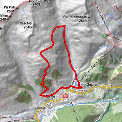
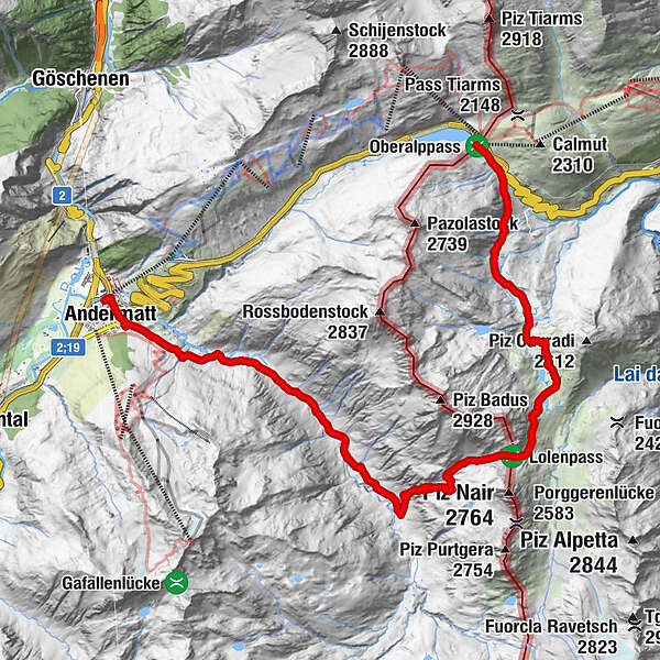
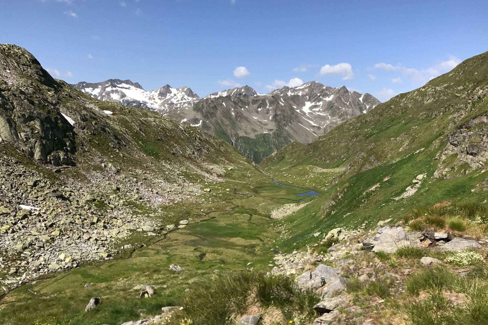
Gestartet wird auf dem Oberalppass. Von dort geht es ins Maighelstal und hinauf zur Maighelshütte. Dort geht es weiter zum Lolenpass und runter ins Unteralptal bis nach Andermatt.
- Obtiažnosť
-
stredná
- Hodnotenie
-
- Trasa
-
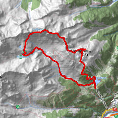
Gasthaus Piz Calmot0,0 kmMariahilfkapelle16,2 kmAndermatt (1.447 m)16,5 kmAndermatt (1.436 m)16,9 km
- Najlepšia sezóna (ročné obdobie)
-
janfebmaraprmájjúnjúlaugsepoktnovdec
- Najvyšší bod
- 2.398 m
- Cieľová destinácia
-
Bahnhof Andermatt
- Profil nadmorskej výšky
-
 © outdooractive.com
- Autor
-
Prehliadka Lolenpass/Lolapass používa outdooractive.com na stránke ..
GPS Downloads


Všeobecné informácie
Zastávka s občerstvením
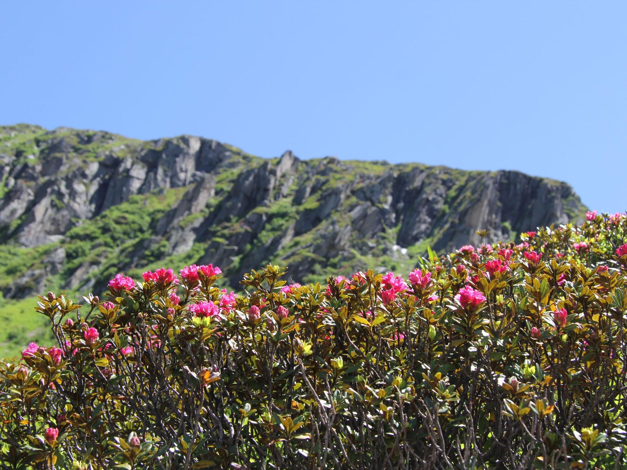
Flora
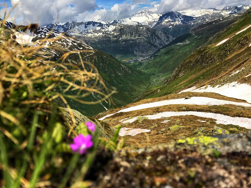
S výhľadmi