© Engelberg-Titlis Tourismus - Engelberg - Titlis Tourismus

© Engelberg-Titlis Tourismus - Engelberg - Titlis Tourismus

© Engelberg-Titlis Tourismus - Engelberg - Titlis Tourismus

- Stručný popis
-
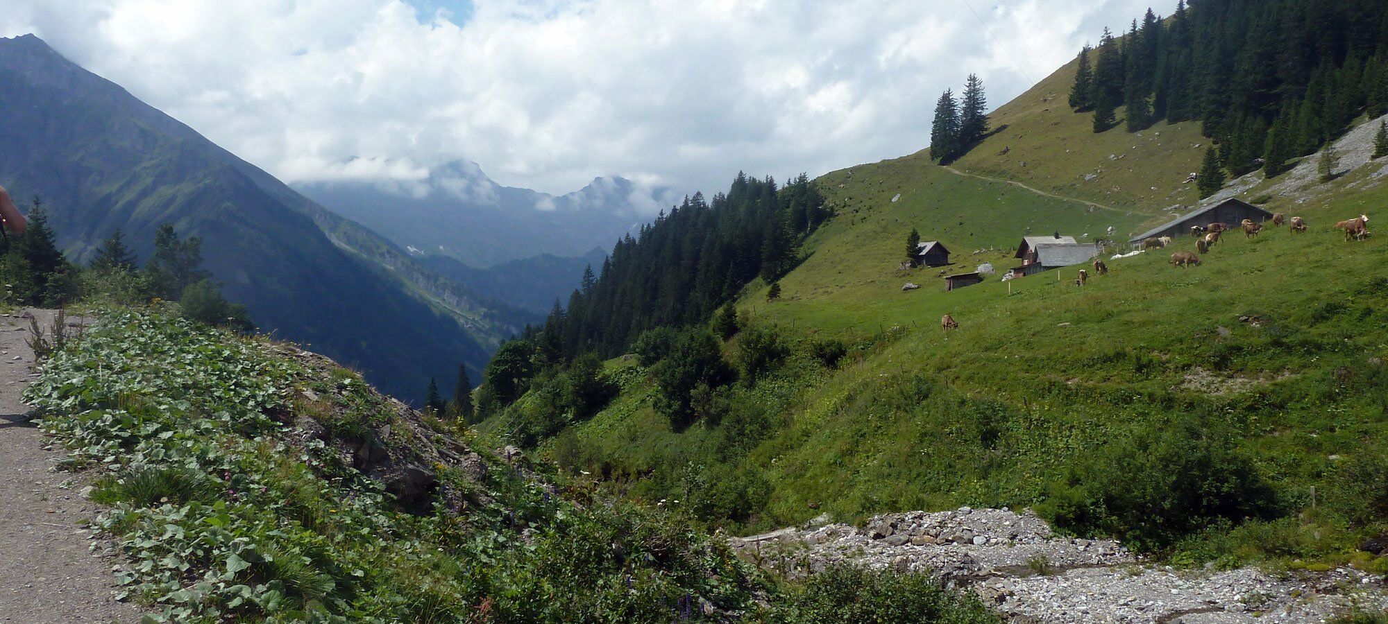
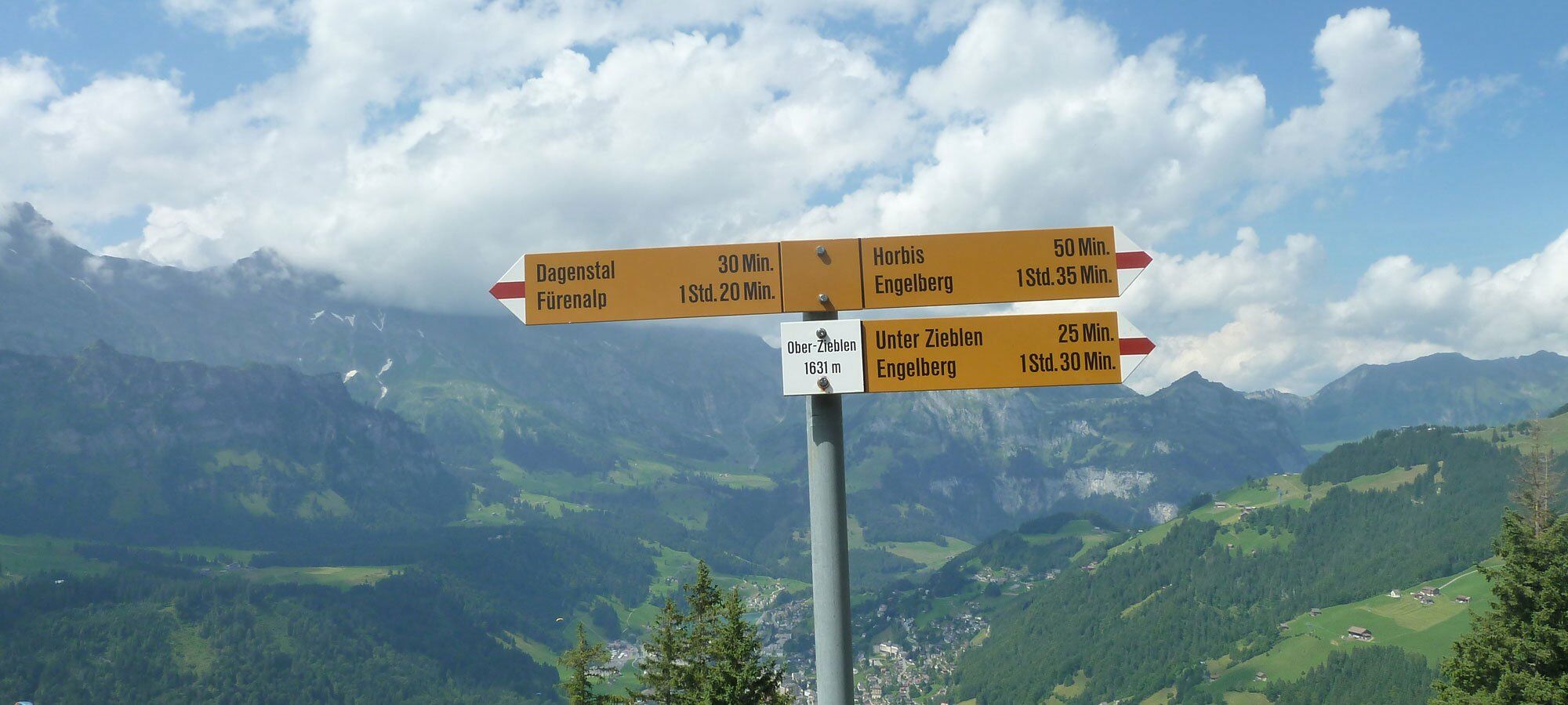
The end of the world isn't as far away as you thought. Horbis or better known as the End of the World is your starting point. In gentle hairpin bends you climb up to the local mountain Hahnen. At the Alp Ober Zieblen you have the most meters of altitude behind you and can hike along the high trail to the Fürenalp mountain station.
- Trasa
-
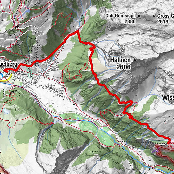
Engelberg (1.000 m)0,2 kmNassboden1,3 kmLourdes-Grotte1,5 kmMarienkapelle im Horbis2,8 kmHorbis (1.125 m)2,9 kmEnde der Welt3,0 kmBergstation Zieblen4,7 kmDagenstal (1.587 m)6,6 kmBergstation Dagenstal7,0 kmFürenalp9,1 km
- Najvyšší bod
- 1.840 m
- Cieľová destinácia
-
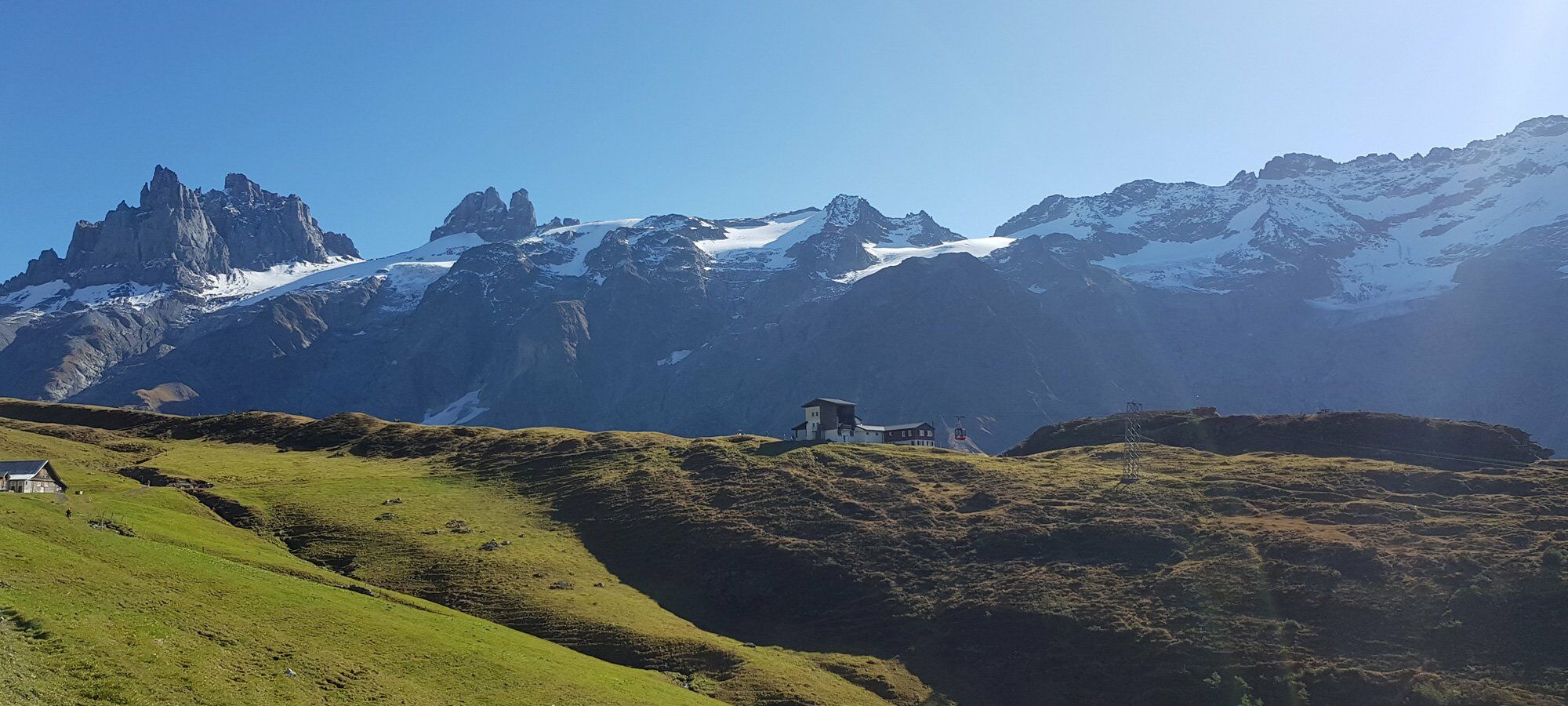
Fürenalp
- Profil nadmorskej výšky
-
 © outdooractive.com
-

-
AutorPrehliadka Engelberg-Horbis-Zieblen mountain path používa outdooractive.com na stránke ..
GPS Downloads


Ďalšie prehliadky v regiónoch