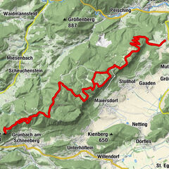


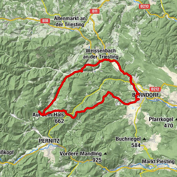
Údaje o túre
35,09km
337
- 780m
766hm
767hm
03:00h
- Stručný popis
-
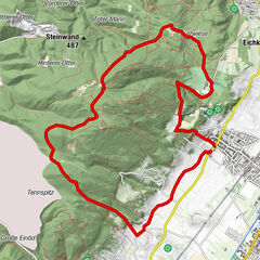
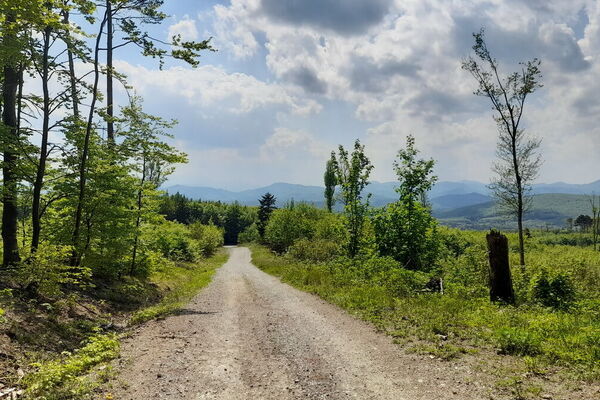
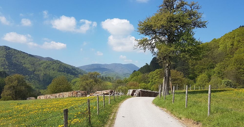
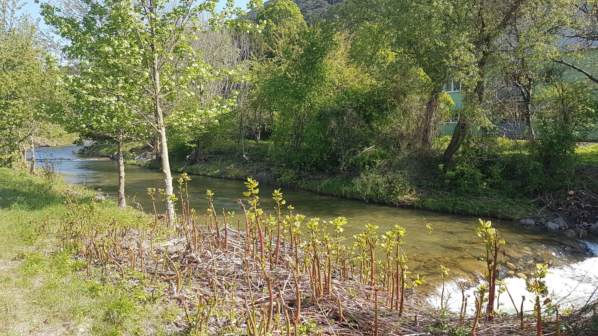
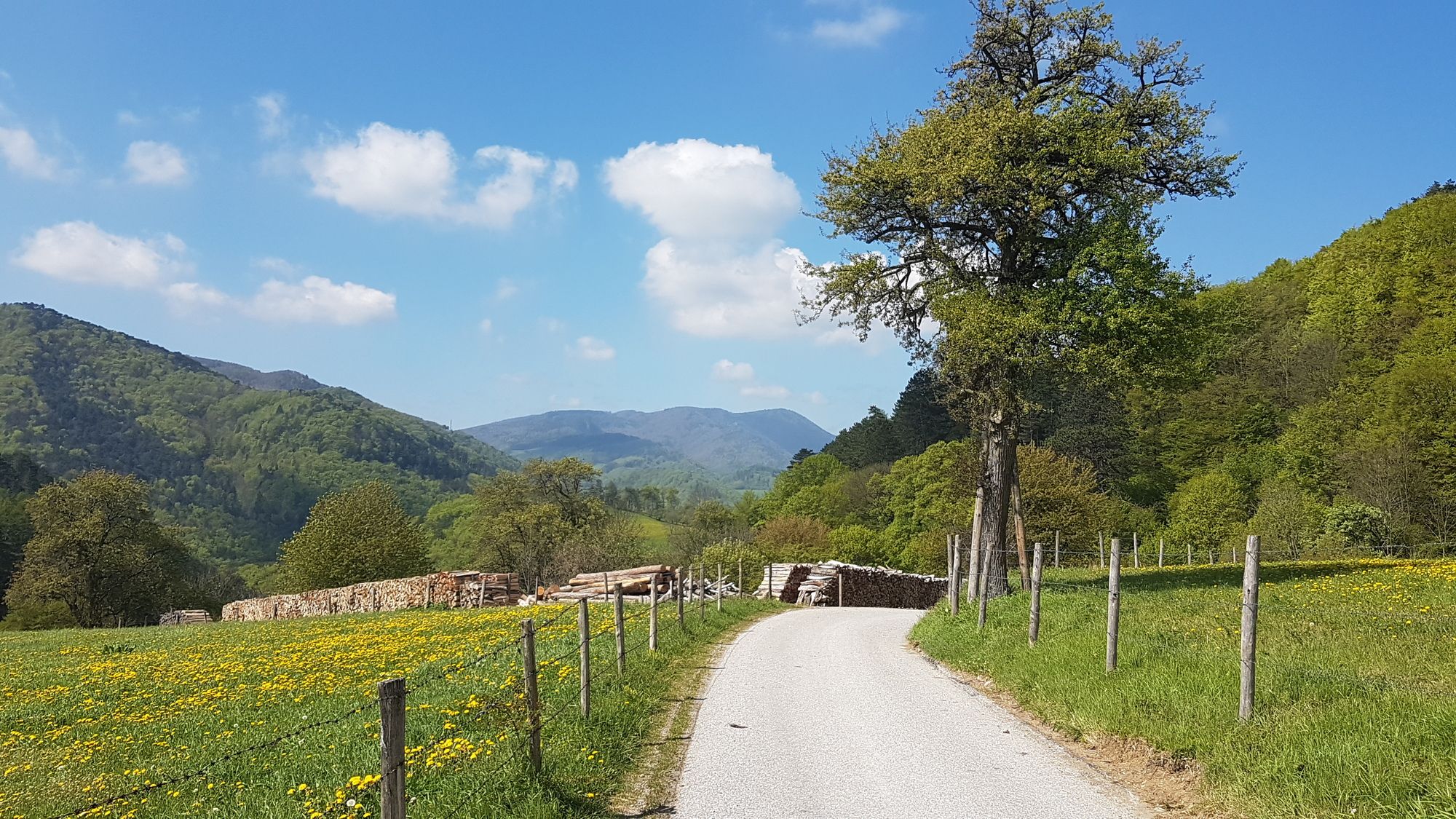
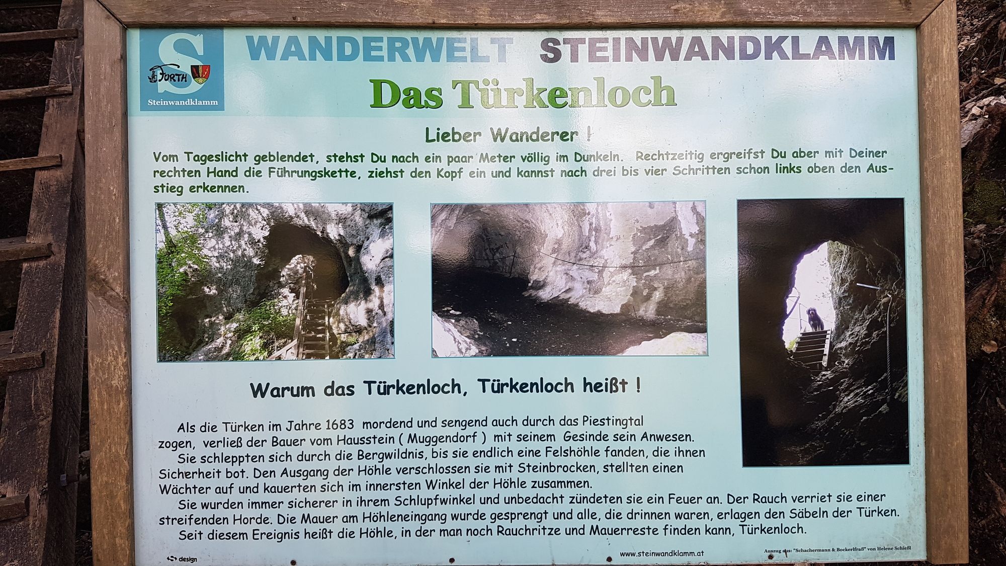
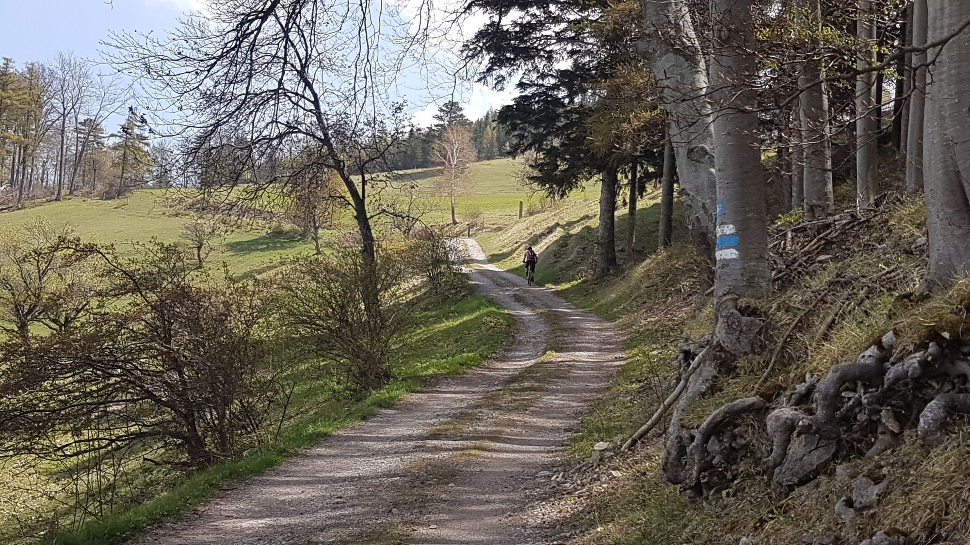
Nette Runde mit zwei Singletrails zur Steinwandklamm/Jagasitz mit einer kurzen Wanderung zum Türkenloch und weiter über den Hals zum Waxeneck.
- Obtiažnosť
-
stredná
- Hodnotenie
-
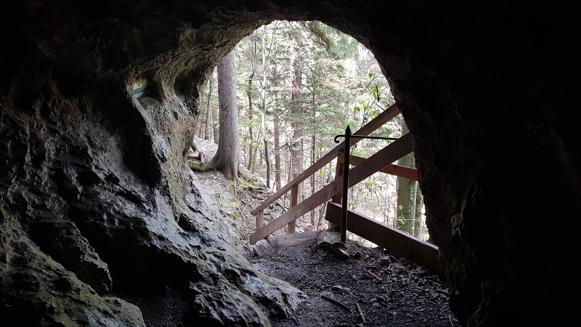
- Východisko
-
Pottenstein
- Trasa
-
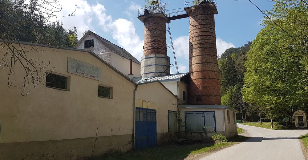
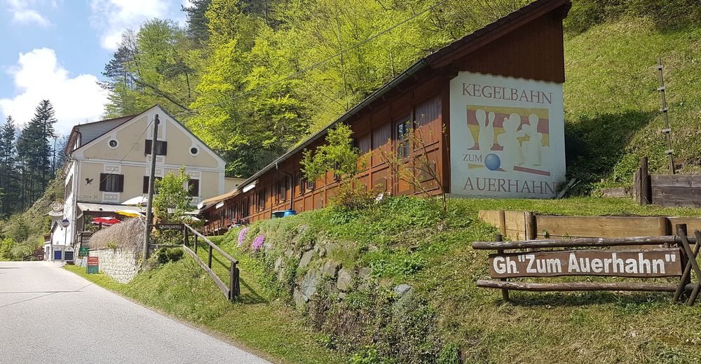
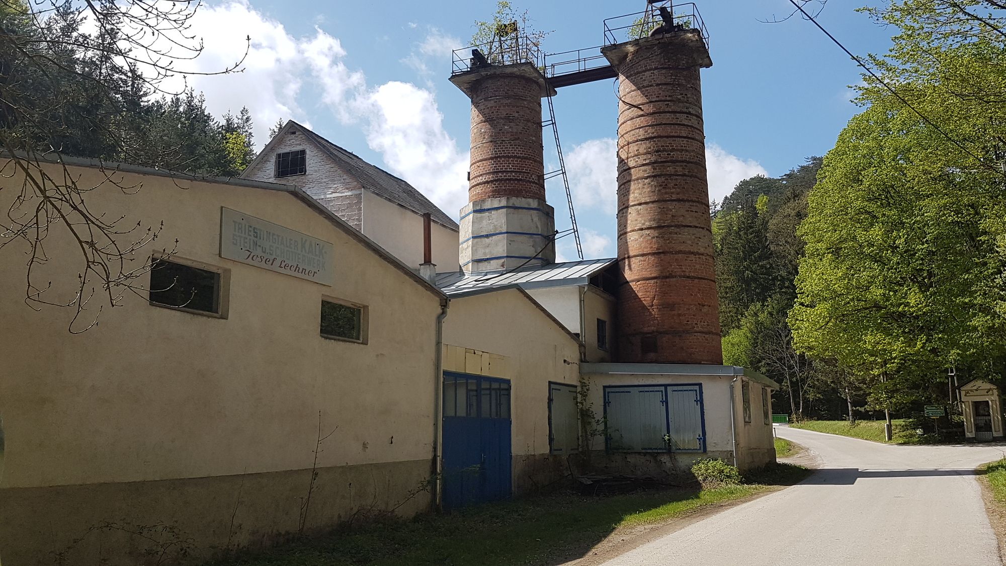
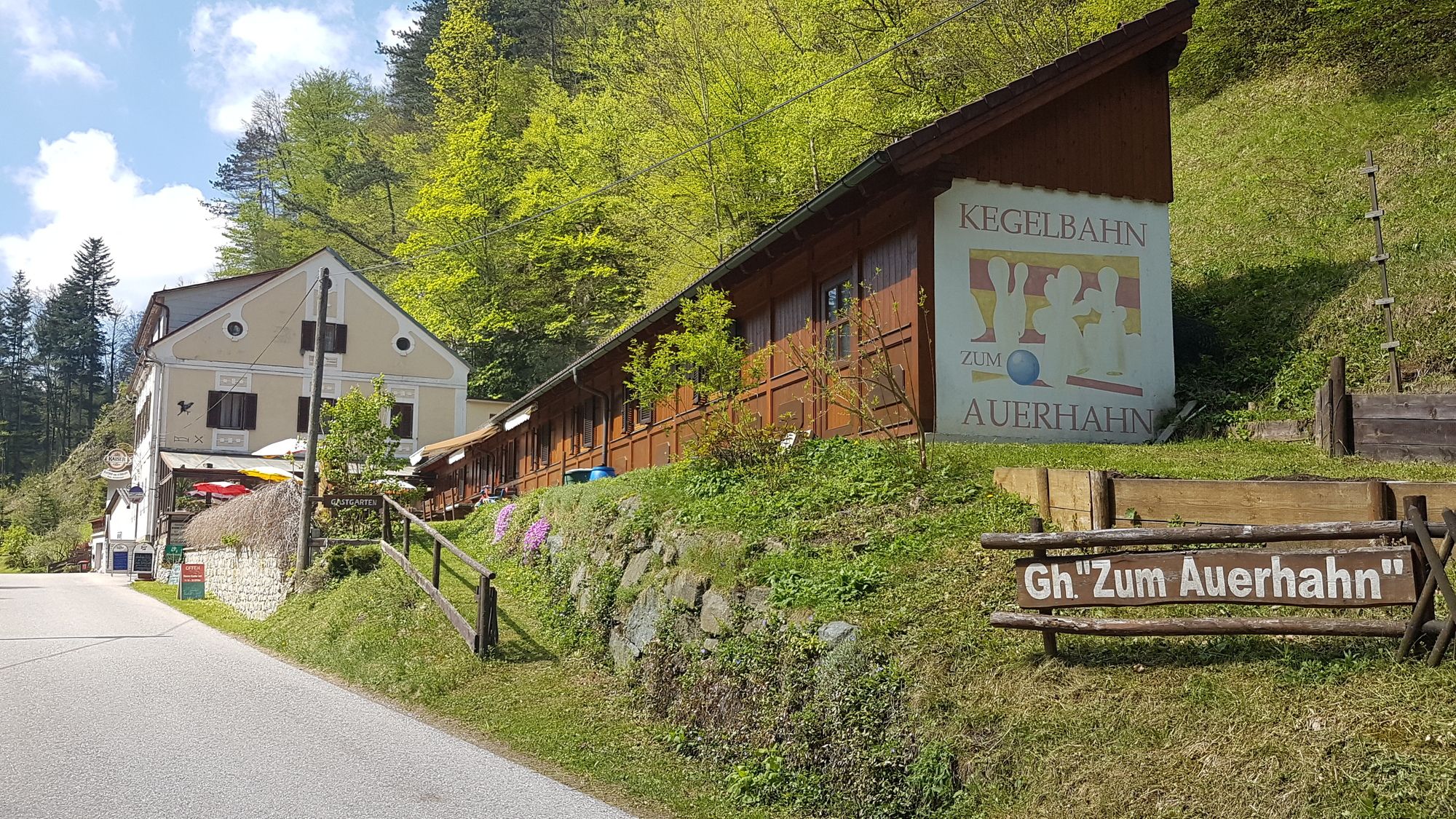
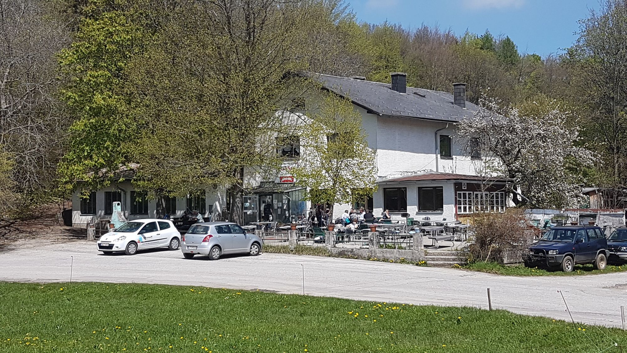
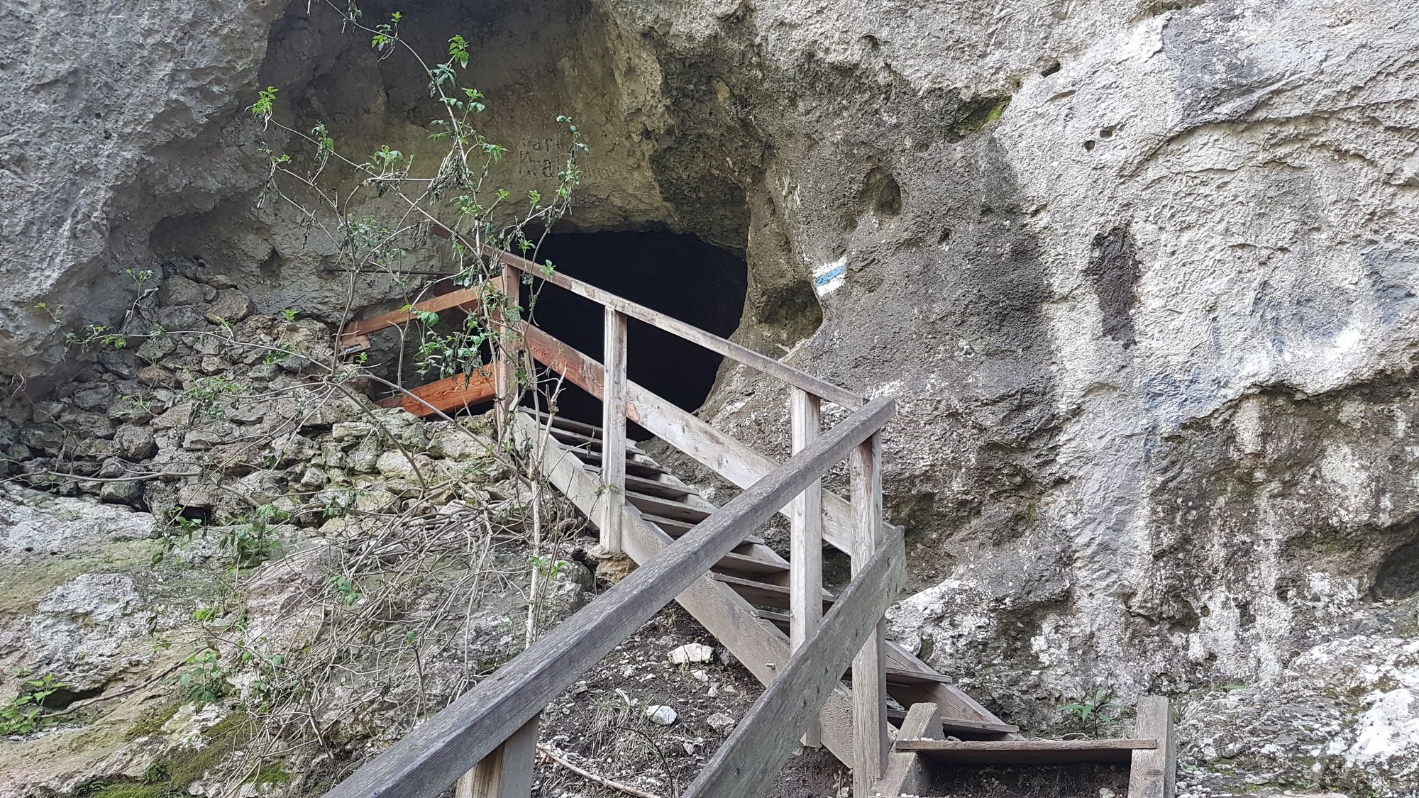
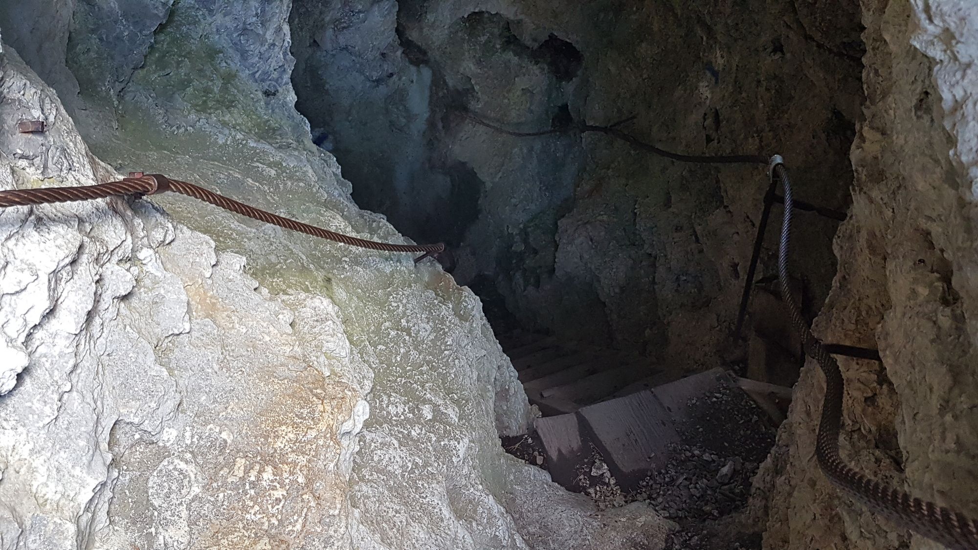
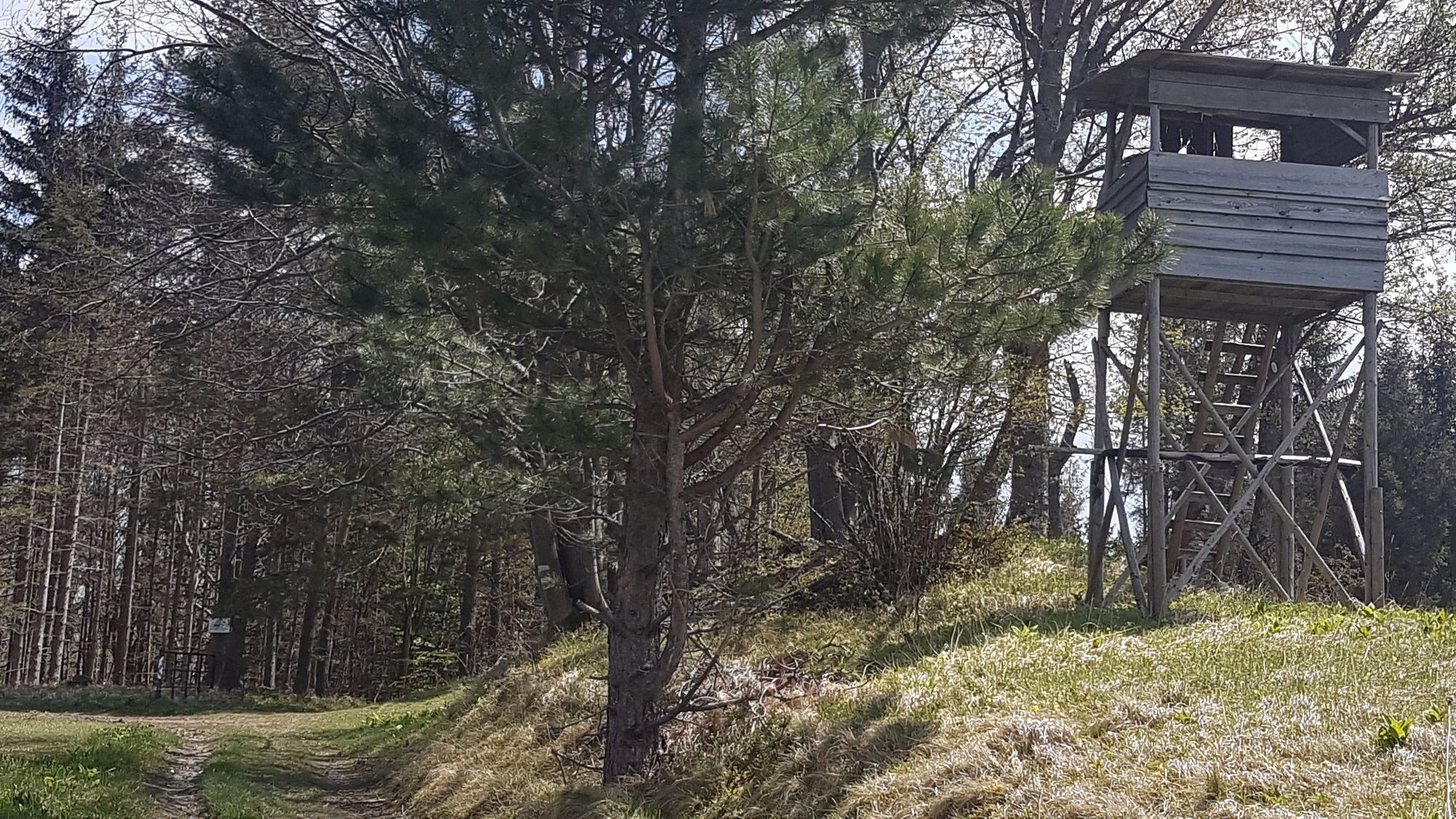
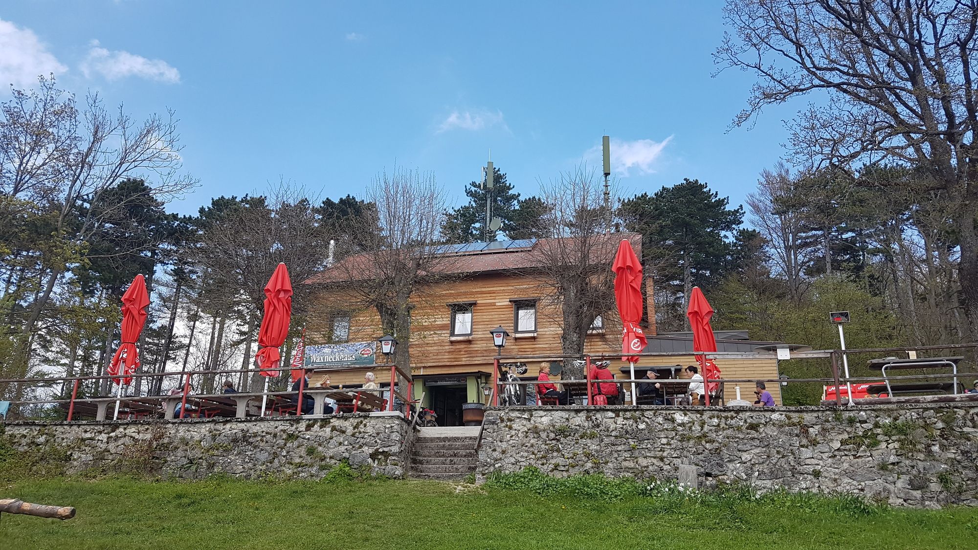
Fahrafeld2,4 kmWeissenbach-Neuhaus3,8 kmPetra`s Stüberl4,0 kmWeissenbach an der Triesting4,4 kmSchatzen4,6 kmHerz-Jesu-Kirche4,8 kmNiemtal6,3 kmLerchenfeld8,0 kmSchromenau9,3 kmGasthof zum Furtherwirt (Fam. Reischer)9,3 kmGrabenweger Kapelle10,5 kmWohnkammerl10,7 kmAuerhahn-Halbhöhle10,9 kmGasthof "Zum Auerhahn"11,1 kmReischer Jausenstation14,5 kmGasthaus Jagasitz15,5 kmTürkenloch16,1 kmPecherhöhle16,2 kmSchneerosenhaus20,1 kmAuf dem Hals (662 m)20,2 kmWaxeneckhaus22,0 kmAm Kaar (775 m)22,4 kmPöllau28,1 kmSteinhof29,2 kmBerndorf (314 m)31,0 kmPottenstein33,3 kmRadling33,5 kmLuftschutzloch34,7 km
- Najlepšia sezóna (ročné obdobie)
-
janfebmaraprmájjúnjúlaugsepoktnovdec
- Najvyšší bod
- Waxeneck (780 m)
- Cieľová destinácia
-
Pottenstein
- Zvyšok/Ústup
-
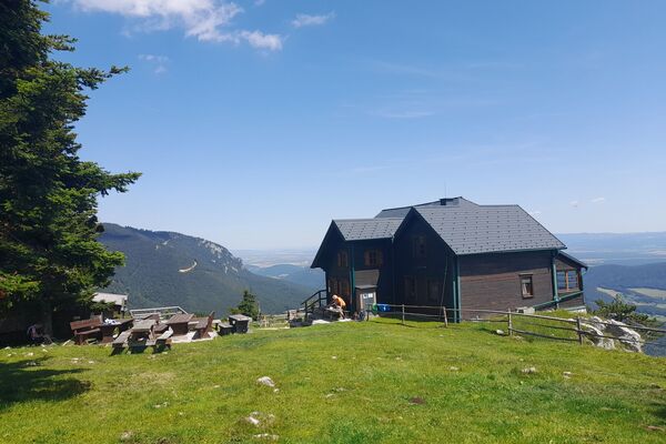
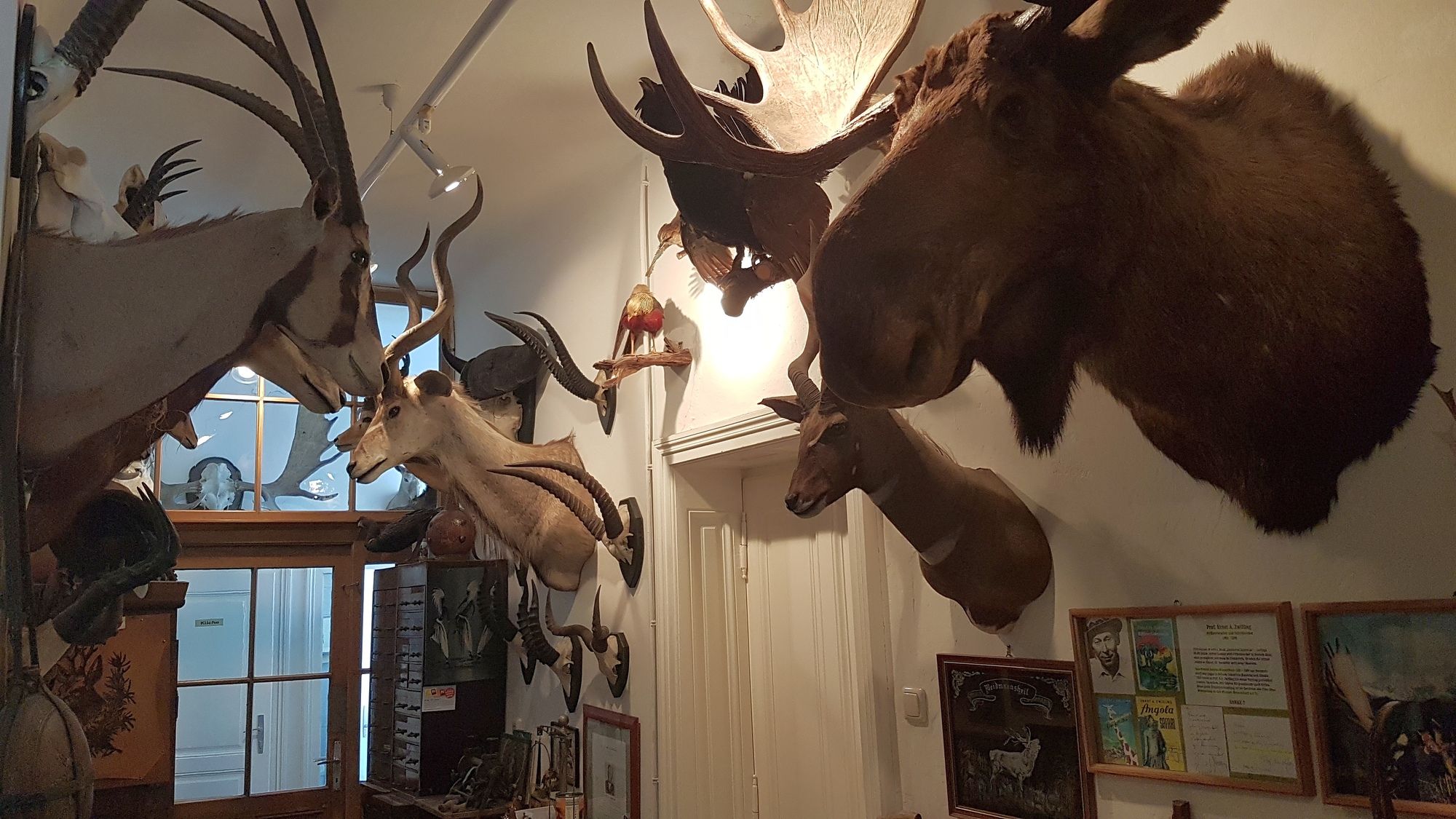
Ghf. Jagasitz oben an der Steinwandklamm
Waxeneckahus mit Sonnenterasse und Aussicht - Infomateriál
-


GPS Downloads


Ďalšie prehliadky v regiónoch