


ROTHAARSTEIG TRAIL “Trödelsteinpfad” (“Trödelstein path”)
Start unserer Tour ist am Wanderparkplatz in der Austraße in Wahlbach. Von dort folgen wir der Markierung bis zum Waldrand. Im Uhrzeigersinn gehen wir über einen Waldweg an der plätschernden Buchheller...
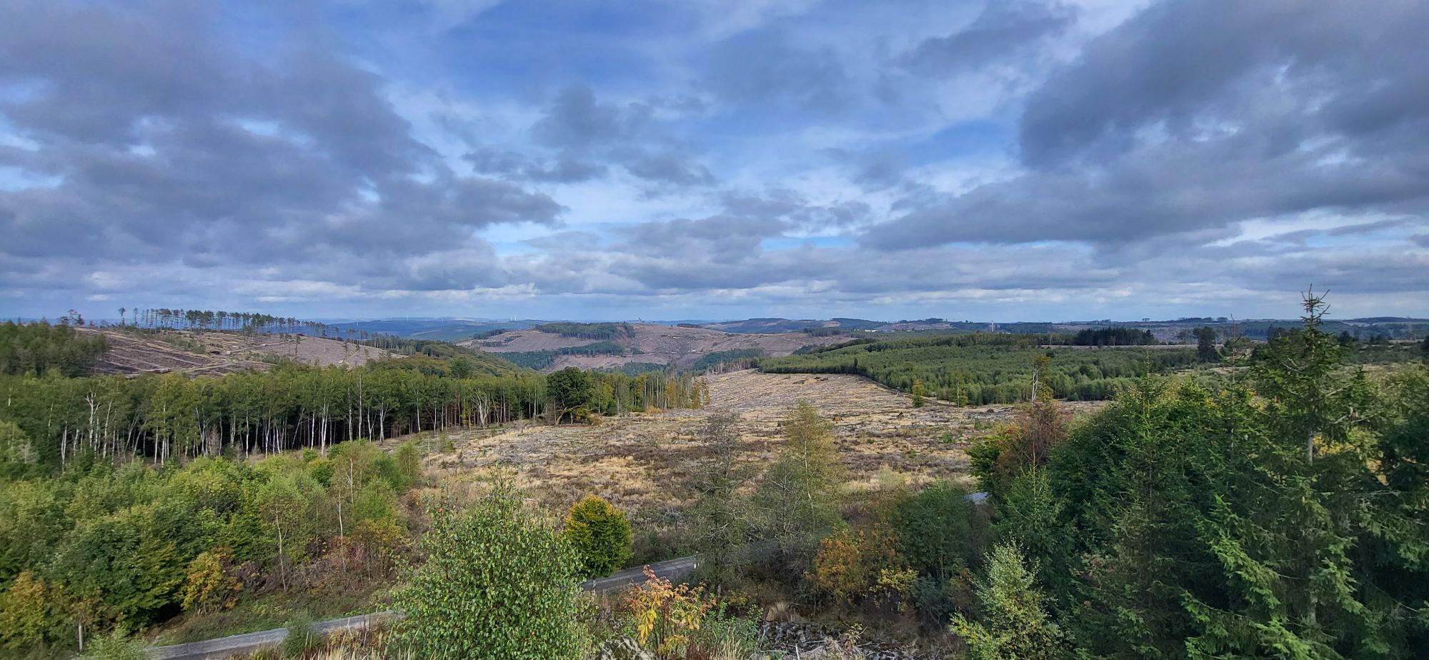
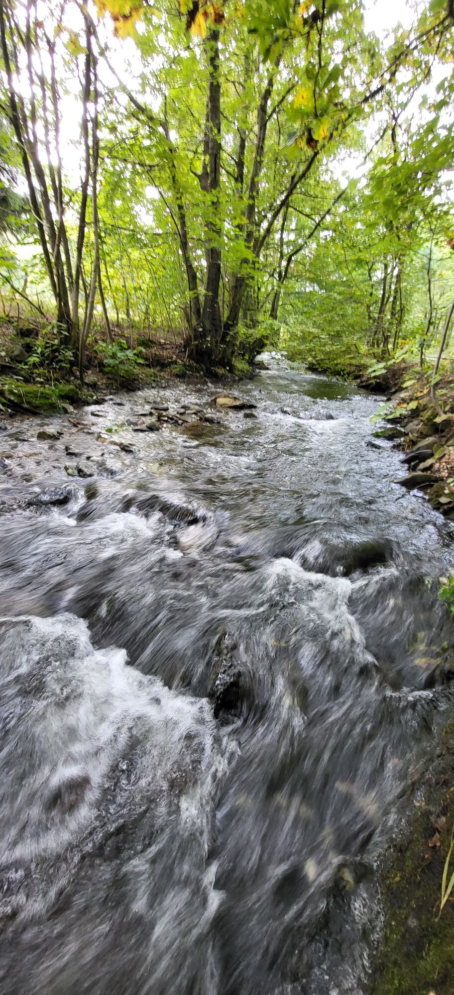
Start unserer Tour ist am Wanderparkplatz in der Austraße in Wahlbach. Von dort folgen wir der Markierung bis zum Waldrand. Im Uhrzeigersinn gehen wir über einen Waldweg an der plätschernden Buchheller entlang, die uns zunächst begleitet. Im rechten Winkel biegt der Pfad ab und wir machen uns nun an den Aufstieg auf die Trödelsteine. Zwischendurch begegnen wir den Zeitzeugen des Erzbergbaus im Buchhellertal: Stollenmunde und Schlackereste sind die Relikte aus der Bergbauzeit. Das Gipfelkreuz auf den Trödelsteinen grüßt uns schon von weitem. Auf dem Gipfel angekommen, entlohnt bei guter Witterung ein Ausblick in das grüne Siegerland. Natürlich tragen wir uns in das Gipfelbuch ein. Dem mit einem weißen, liegendem "R" ausgeschildertem Weg weiter folgend, gehen wir nun einen neuen Teilbereich, der wegen der Abholzung des Fichtenbestandes entstanden ist. Auf dem Nenkersberg angekommen eröffnet sich uns bei guter Sicht eine Fernsicht, die es so vorher nicht gab. Die Eifel oder das Sauerland sind durchaus sichtbar! Nachdem wir unsere Gedanken haben schweifen lassen, gehen wir nun den Abstieg an. Kurz werden wir zum Grenzgänger zwischen Rheinland-Pfalz und NRW und kommen über schmale Pfade durch mystische Wälder zur Wacholderheide im Naturschutzgebiet Saukaute. Kurz vor Ende der Tour können wir noch einmal den Ausblick auf die einzigartige Landschaft zwischen Rothaargebirge und Westerwald geniesen. Weiter über enge Pfade, die immer noch Trittsicherheit erfordern, kommen wir wieder in Wahlbach an.
Rothaarsteig-Wanderkarte
Wanderkarte der Gemeinde Burbach
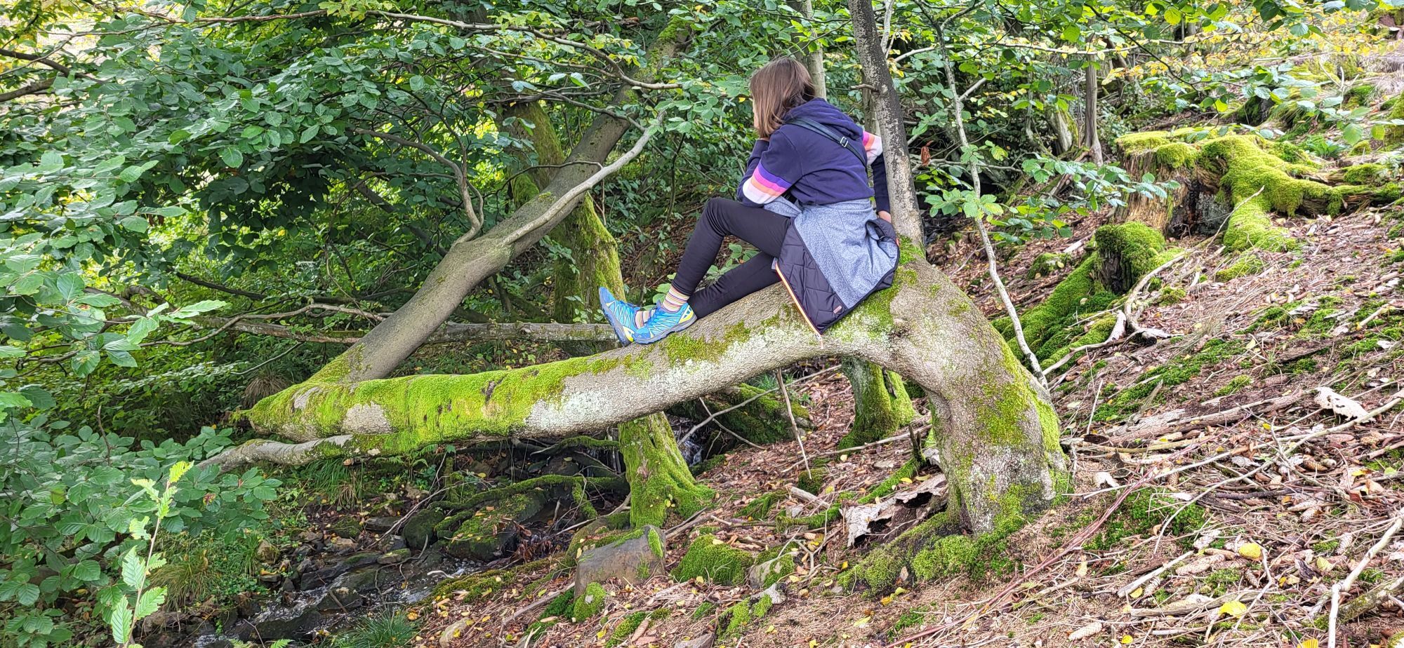
You need to be surefooted along some of the paths.
Hiking trails are usually far from communities and settlements and every hiker has worried at some time about what would happen if there was an emergency. How can I be found here? Where am I? Can I contact the rescue service?
In serious cases, however, this has to happen quickly! Because of this, so-called rescue signs have been installed all along the Rotharrsteig. The green and white plaques that have been attached to the signposts show the number you have to give when making your emergency call. This tells the rescuers exactly where you are, allowing valuable time to be saved.
The point of entry is the Austraße car park in the Burbach district of Wahlbach. Enter Austraße, 57299 Burbach into your car’s navigation system.
You can park your car in the immediate vicinity of the fire department equipment depot (Brückenstraße 2). You can reach the Trödelsteinpfad (“Trödelstein path”) via the marked Rothaarsteig trail on Diesterwegstraße. Follow the path in the direction of Burbach.You can also park your car in the Buchhellertal valley. Follow the “Trödelsteinpfad” signs from Erzweg in Burbach. The hiking car park is after the first bridge over the Buchheller on the right.
A combination of paths, woodland passages, wonderful views and gushing streams. There are cosy places to stop for a rest along the Buchheller stream. Enter your name in the summit book.
Obľúbené výlety v okolí
-
Rothaarsteig-Spur Wacholderweg
strednáTuristika 16,1 km -
Natursteig Sieg | Etappe 13 | Alsdorf–Kirchen (Sieg)
strednáTuristika 11,0 km -
Rothaarsteig-Spur Gernsdorfer Höhentour
strednáTuristika 13,4 km -
Rothaarsteig Westerwaldvariante
ťažkédiaľková pešia trasa 71,8 km -
Rothaarsteig-Spur Dill-Bergtour
strednáTuristika 15,9 km -
Rothaarsteig von der Haincher Höhe nach Dillenburg
ťažkéTuristika 27,3 km -
ÖPNV-Tour: Auf dem Rothaarsteig von Dillenburg nach Haiger
strednáTuristika 13,2 km -
Rundweg Obersdorf
Turistika 8,20 km -
Rothaarsteig von Irmgarteichen nach Rodenbach
ťažkéTuristika 17,0 km -
ÖPNV-Tour auf dem Rothaarsteig: Von Haiger-Dillbrecht nach Wilnsdorf-Rudersdorf
strednáTuristika 10,7 km
Turistika a stopovanie


Nenechajte si ujsť ponuky a inšpiráciu na ďalšiu dovolenku
Vaša e-mailová adresa bol pridaný do poštového zoznamu.