© Tourismusverband Steyr Nationalpark Region - Renate Schweighuber

© Tourismusverband Steyr Nationalpark Region - Renate Schweighuber

© Tourismusverband Steyr Nationalpark Region - Renate Schweighuber

© Tourismusverband Steyr Nationalpark Region - Renate Schweighuber

© Tourismusverband Steyr Nationalpark Region - Renate Schweighuber

© Tourismusverband Steyr Nationalpark Region - Renate Schweighuber

- Stručný popis
-
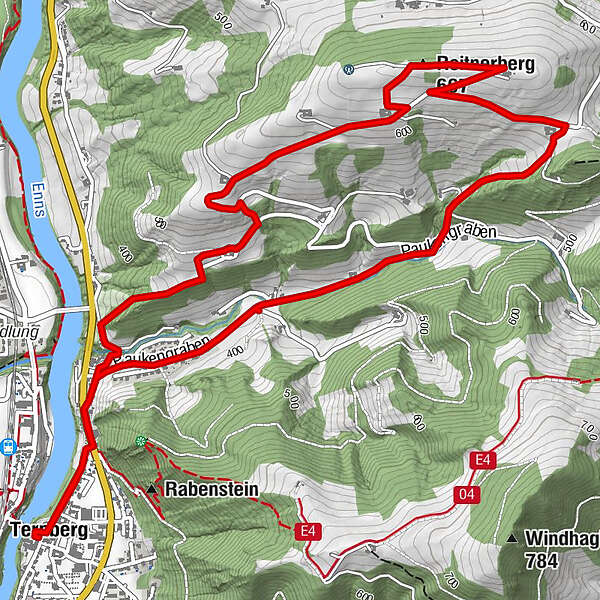
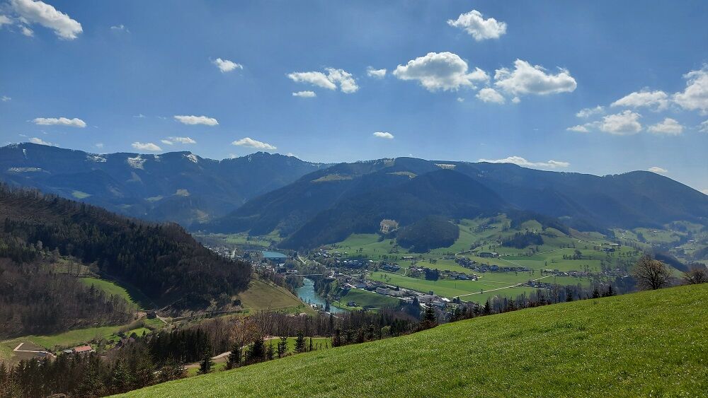
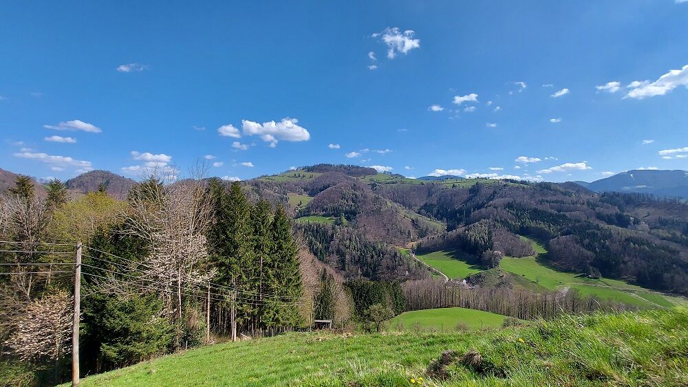
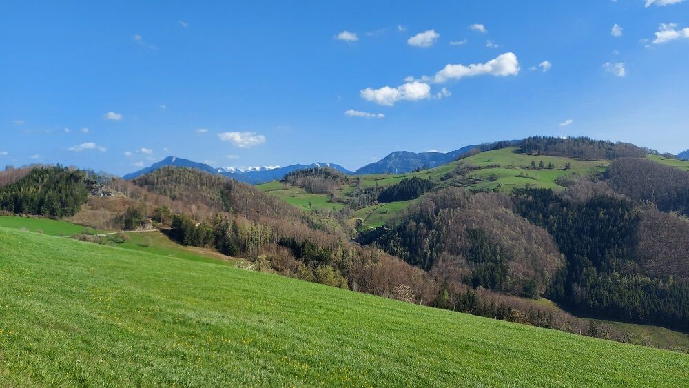
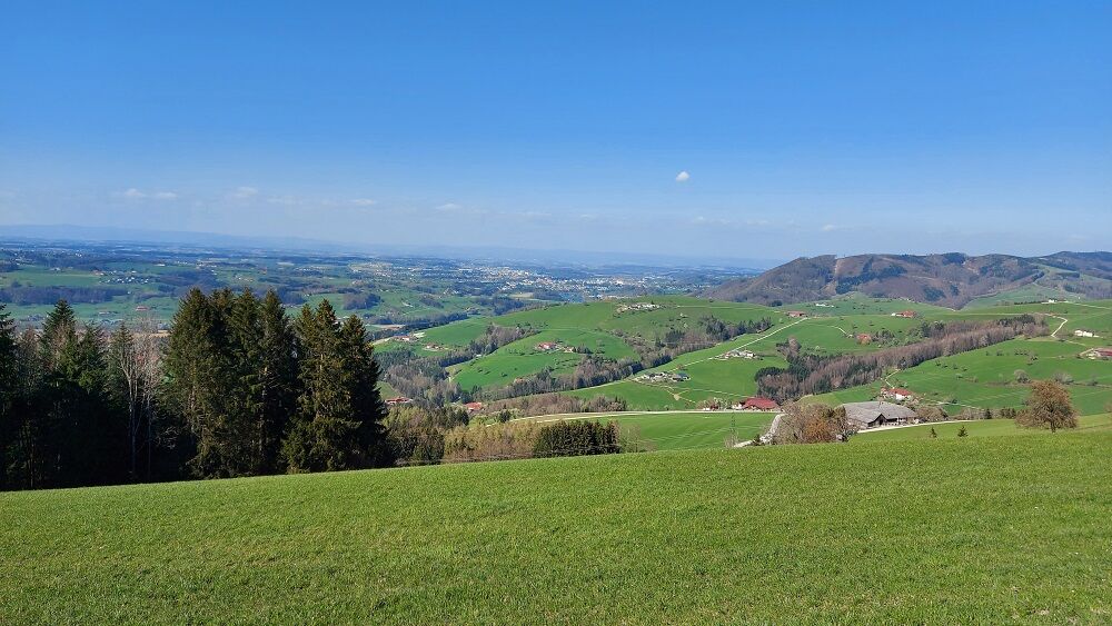
Hike to the Reitnerberg with a magnificent view into the foothills of the Alps as well as into the Upper Austrian lowlands up to the Mühlviertel mountains
- Obtiažnosť
-
ľahká
- Hodnotenie
-
- Trasa
-
Pfarrkirche TernbergTernberg0,0 kmReitnerberg (667 m)3,6 kmTernberg8,1 kmPfarrkirche Ternberg8,2 km
- Najlepšia sezóna (ročné obdobie)
-
janfebmaraprmájjúnjúlaugsepoktnovdec
- Najvyšší bod
- 673 m
- Cieľová destinácia
-
Ternberg/center of the village
- Profil nadmorskej výšky
-


- Autor
-
Prehliadka Reitnerberg Circular Trail používa outdooractive.com na stránke ..
GPS Downloads


Všeobecné informácie
S výhľadmi
Ďalšie prehliadky v regiónoch
-
Traunviertel
1940
-
Steyr und die Nationalpark Region
1369
-
Ternberg
376