


Helsana-Trail Sellamatt blue


Fotografie našich používateľov
-

 © Aurelian BöhlerVytvorené dňa 29.06.2025
 -
 © brauni69Vytvorené dňa 06.07.2025
 -
 © SvenVytvorené dňa 05.07.2025
 -
 © SvenVytvorené dňa 01.06.2025
 -
 © SvenVytvorené dňa 01.06.2025
 -
 © SvenVytvorené dňa 01.06.2025
 -
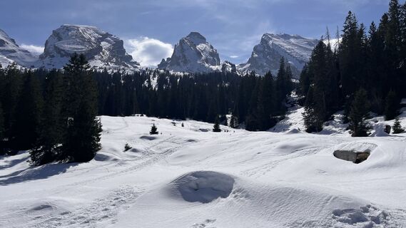
 © Erich Graf 2Vytvorené dňa 09.03.2025
 -
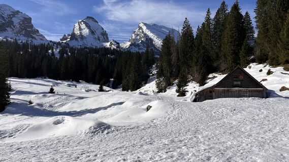 © Erich Graf 2Vytvorené dňa 09.03.2025
 -
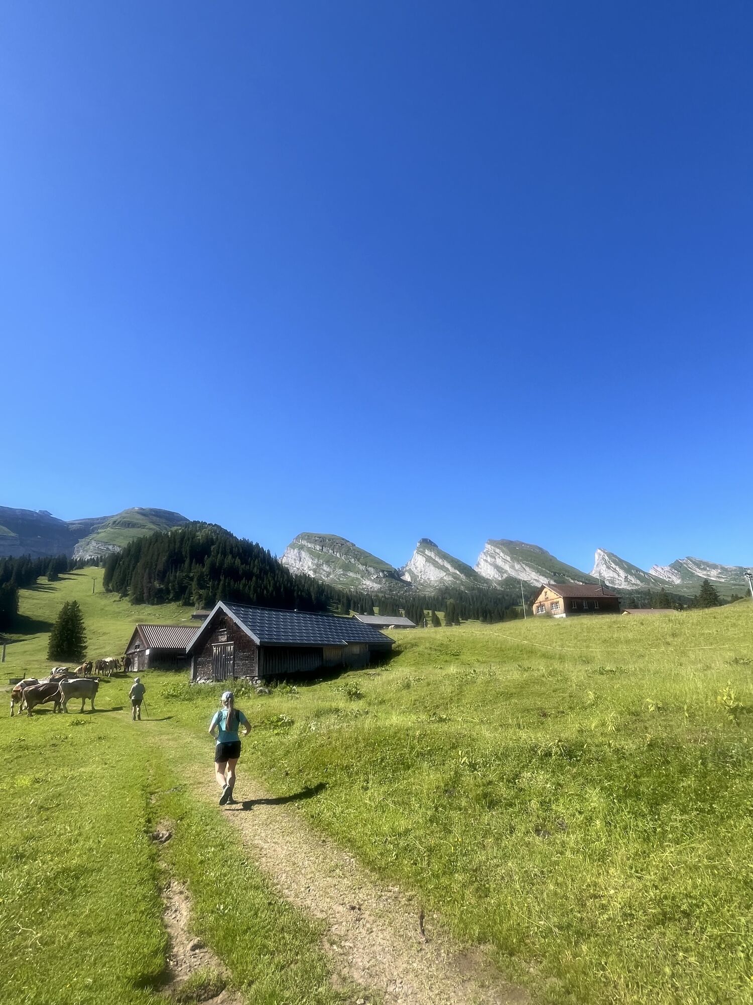
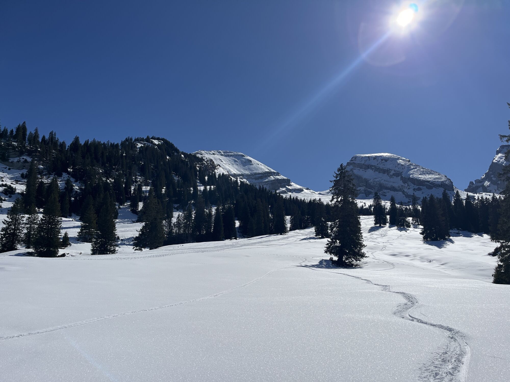
 © Francesco f ErnstVytvorené dňa 04.03.2025
 -
 © Francesco f ErnstVytvorené dňa 04.03.2025

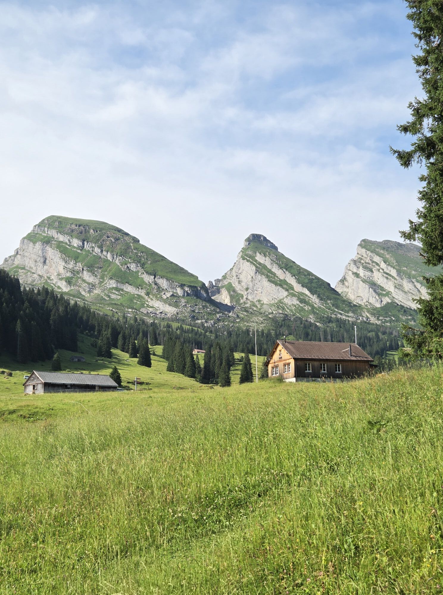
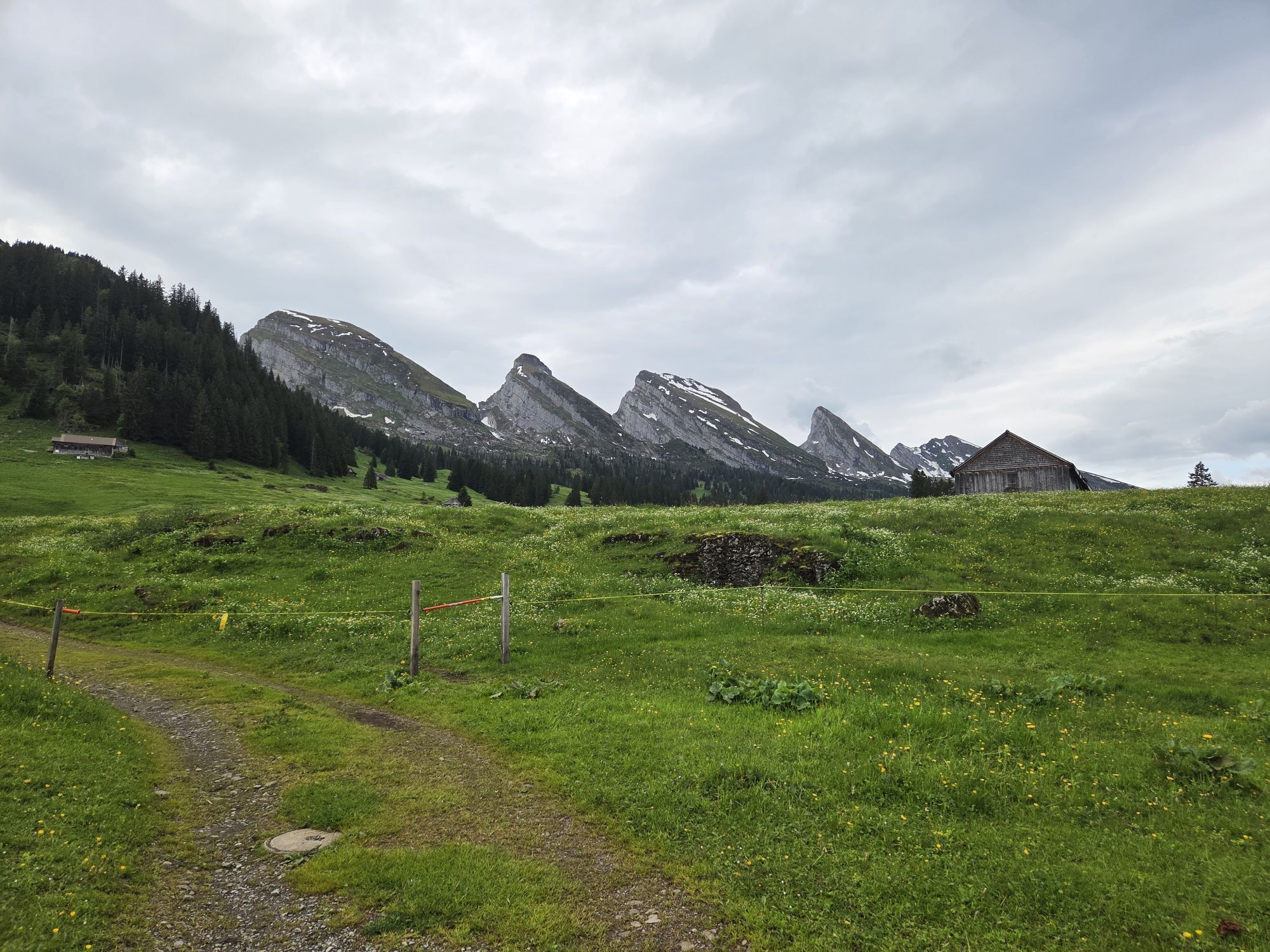
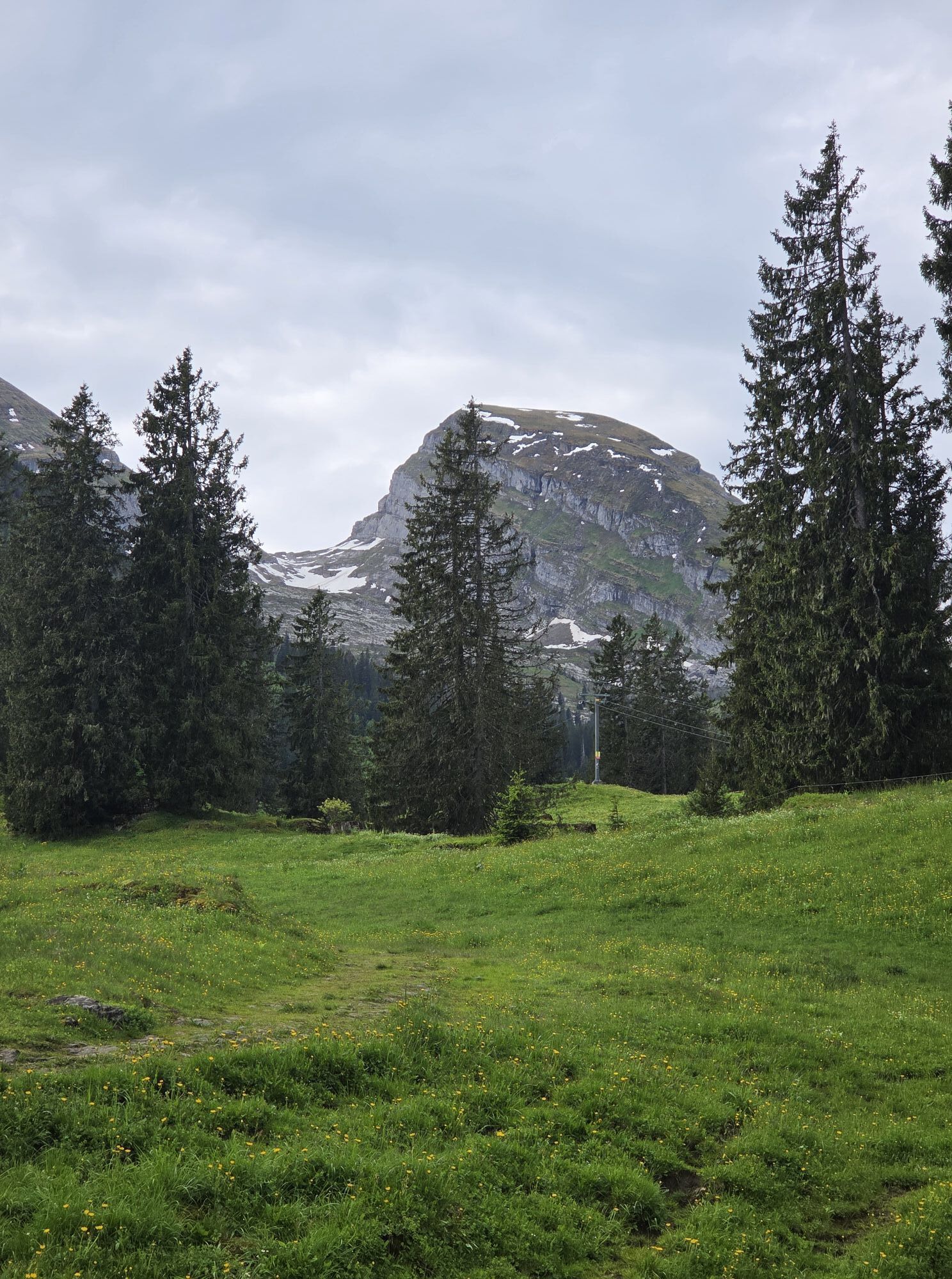
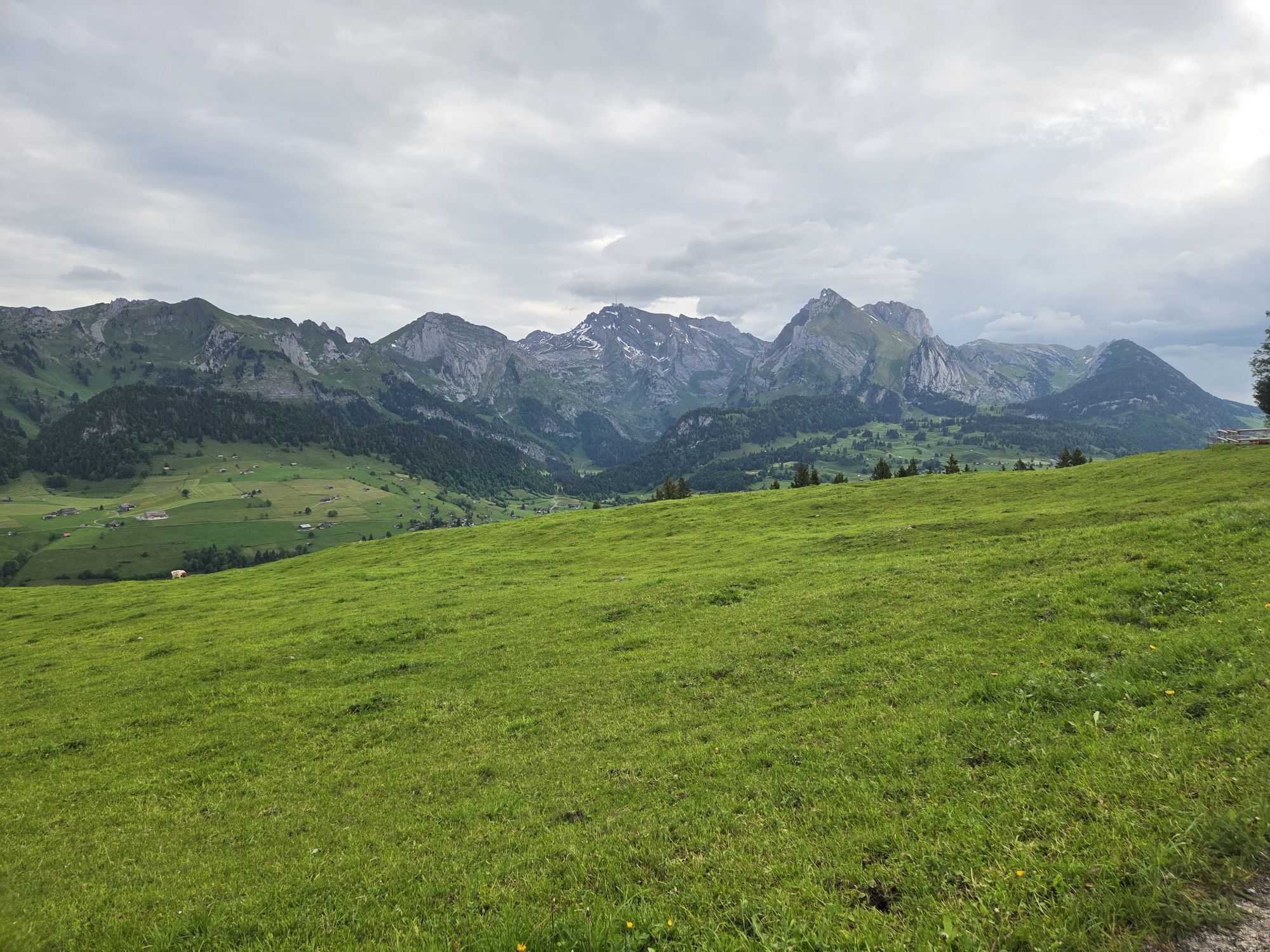
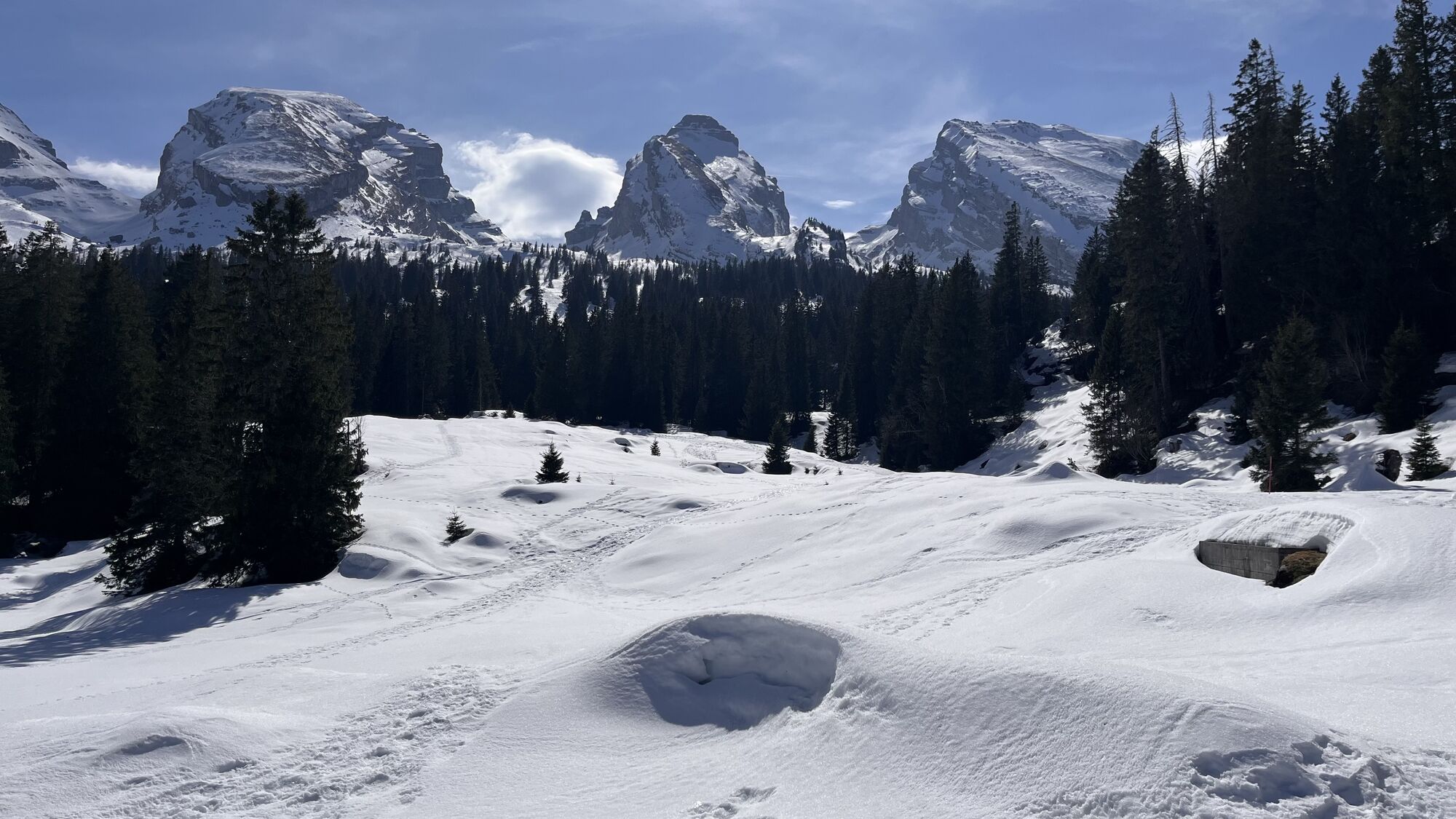
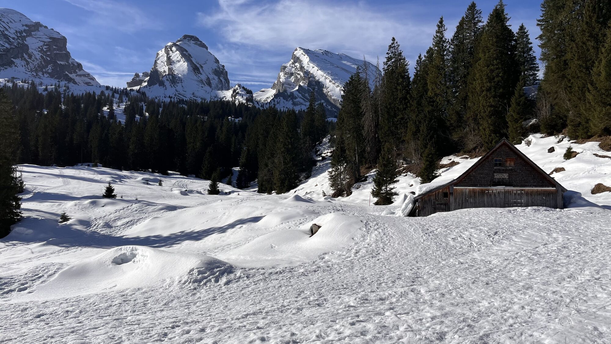

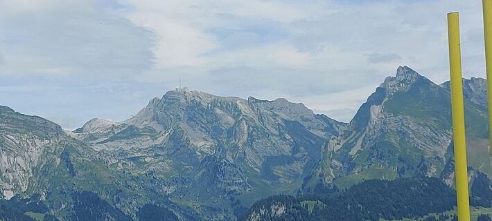
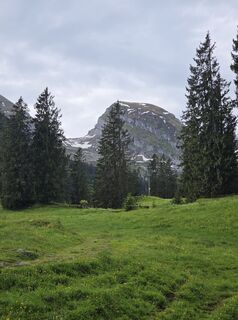
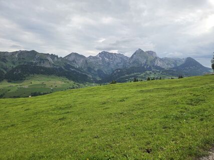
The Helsana-Trail Sellamatt offers a unique view of the Churfirsten extending to the Alpstein mountains including Säntis, Wilduser Schofberg, and many more.
During the summer months, pleasant temperatures...
The Helsana-Trail Sellamatt offers a unique view of the Churfirsten extending to the Alpstein mountains including Säntis, Wilduser Schofberg, and many more.
During the summer months, pleasant temperatures prevail on the high plateau for sporting activity.
The trail can also be walked at a leisurely pace.
The Sellamatt cable car conveniently takes you to the starting point.

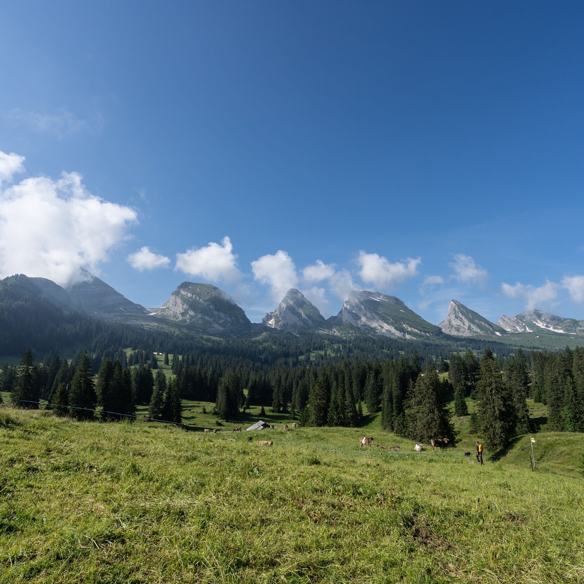


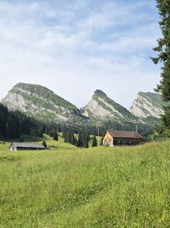
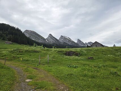
The circular route starts from the mountain station at Alp Sellamatt and first leads through a small wooded area before crossing open alpine meadows. Then you reach the cozy Schribersboden barbecue area, which invites you to grill or take a short break. After climbing a hill, the plain of the Thurtalerstofel opens up before you with an impressive view of the Churfirsten. The round can be shortened here by connecting the two paths.
Áno
Áno
Trailrunning: if applicable, light running backpack (approx. 5 to 10 liters) with rain cover, trailrunning shoes, if applicable special running socks, weather-adapted and breathable clothing in multilayer principle, if applicable trailrunning poles, sun and rain protection, provisions and drinking water, first aid kit, pocket knife, mobile phone, if applicable headlamp and reflectors, maps
The trail is continuously signposted and regularly maintained.
From the Greater Zurich area and Central Switzerland:
On the A3 at Reichenburg towards Rapperswil and then over the Ricken Pass to Wattwil. Then up the Toggenburg to Alt St. Johann. From Eastern Switzerland:
From St. Gallen to Herisau and further over the Wasserfluh to Lichtensteig. Or drive from St. Gallen to Wil, take the Toggenburg exit. Follow the main road to Alt St. Johann. From the southern German area:
Via Bregenz and St. Margrethen on the A13 to Haag and take the exit towards Toggenburg/Wildhaus, then follow the main road to Alt St. Johann.
By train to Nesslau-Neu St. Johann or Buchs SG, then by post bus to the stop "Alt St. Johann, Dorf." Then a short walk leads to the valley station of the Sellamatt cable car.
At the valley station of the Sellamatt cable car, a large parking lot is available to you.
You can find the operating times of the Sellamatt cable car here.
Toggenburg Tourism
Hauptstrasse 104
9658 Wildhaus
Tel.: +41 (0) 71 999 99 11
Email: info@toggenburg.swiss
Web: www.toggenburg.swiss
To capture the unique view of the Churfirsten, be sure to bring the camera in your backpack.
Webové kamery z prehliadky
Obľúbené výlety v okolí
-
4,7
Riviera Walensee Walenstadt - Quinten
strednáTuristika 10,4 km -
4,9
Säntis-Gipfeltour, Wasserauen / Appenzell Innerrhoden
ťažkéTuristika 21,1 km -
4,6
Riviera Lake Walen Weesen – Quinten
strednáTuristika 10,2 km -
4,7
Wasserauen - Seealpsee - Wasserauen
strednáTuristika 7,71 km -
5,0
Staubern-Runde (15.8.2021)
strednáTuristika 8,65 km -
4,5
Weesen - Quinten - Walenstadt
ťažkéTuristika 20,6 km -
4,8
Seealpsee
strednáTuristika 12,3 km -
5,0
Seealpsee Runde
strednáTuristika 8,22 km -
3,0
Ebenalb, Aescher, Seealpsee, Meglisalp, Wasserauen
ťažkéTuristika 13,6 km -
5,0
Traumhafte 3-Seen/Hütten Runde in Appenzell Schweiz
strednáVysoké turné 19,7 km
Turistika a stopovanie


Nenechajte si ujsť ponuky a inšpiráciu na ďalšiu dovolenku
Vaša e-mailová adresa bol pridaný do poštového zoznamu.