


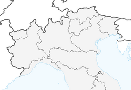
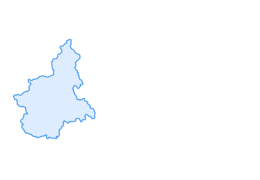

CESANA T.SE Cesana - Fenils
Úroveň náročnosti: T1
The route connects Cesana Torinese with the Vernin district of Fenils (municipality of Cesana Torinese) which is less than 5 km away. You can therefore combine the excursion with a visit to the old village...
The route connects Cesana Torinese with the Vernin district of Fenils (municipality of Cesana Torinese) which is less than 5 km away. You can therefore combine the excursion with a visit to the old village of Cesana as well as Vernin, which represents the ancient core of Fenils and houses a beautiful Gothic-style church dedicated to San Giuliano. Fenils itself is located above Vernin, nestled at the foot of Monte Chaberton; besides being a charming village, it offers dining options at the "La Gerla" farm stay, which serves typical local dishes. The trip is very pleasant and interesting from a naturalistic point of view, crossing not only a mountain forest made up of a mix of conifers, deciduous trees, and all sorts of shrubs, but also typical riparian vegetation, accompanying the course of the Dora on its left bank for a stretch.
Support and technical description by Barbara Demonte - Environmental hiking guide.

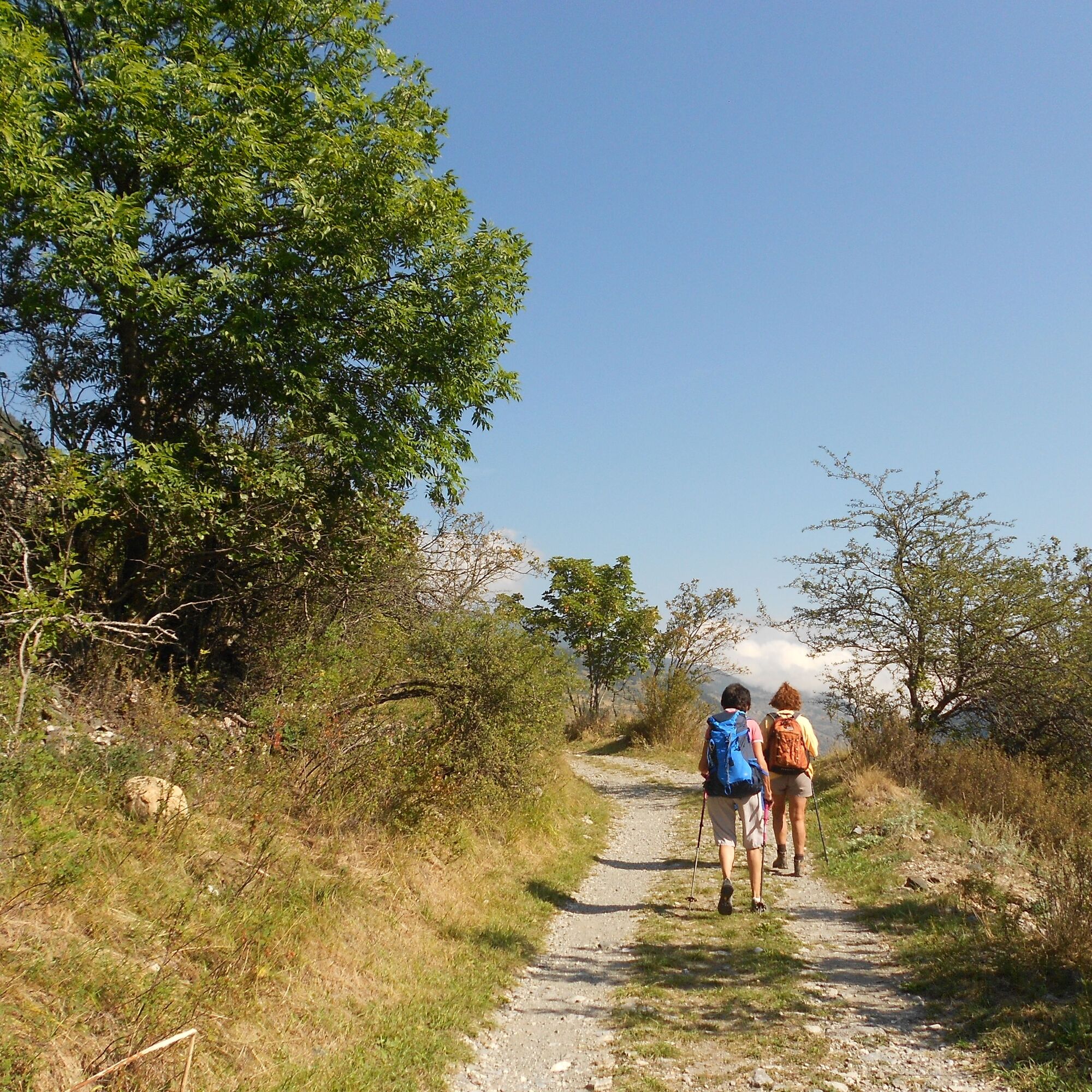
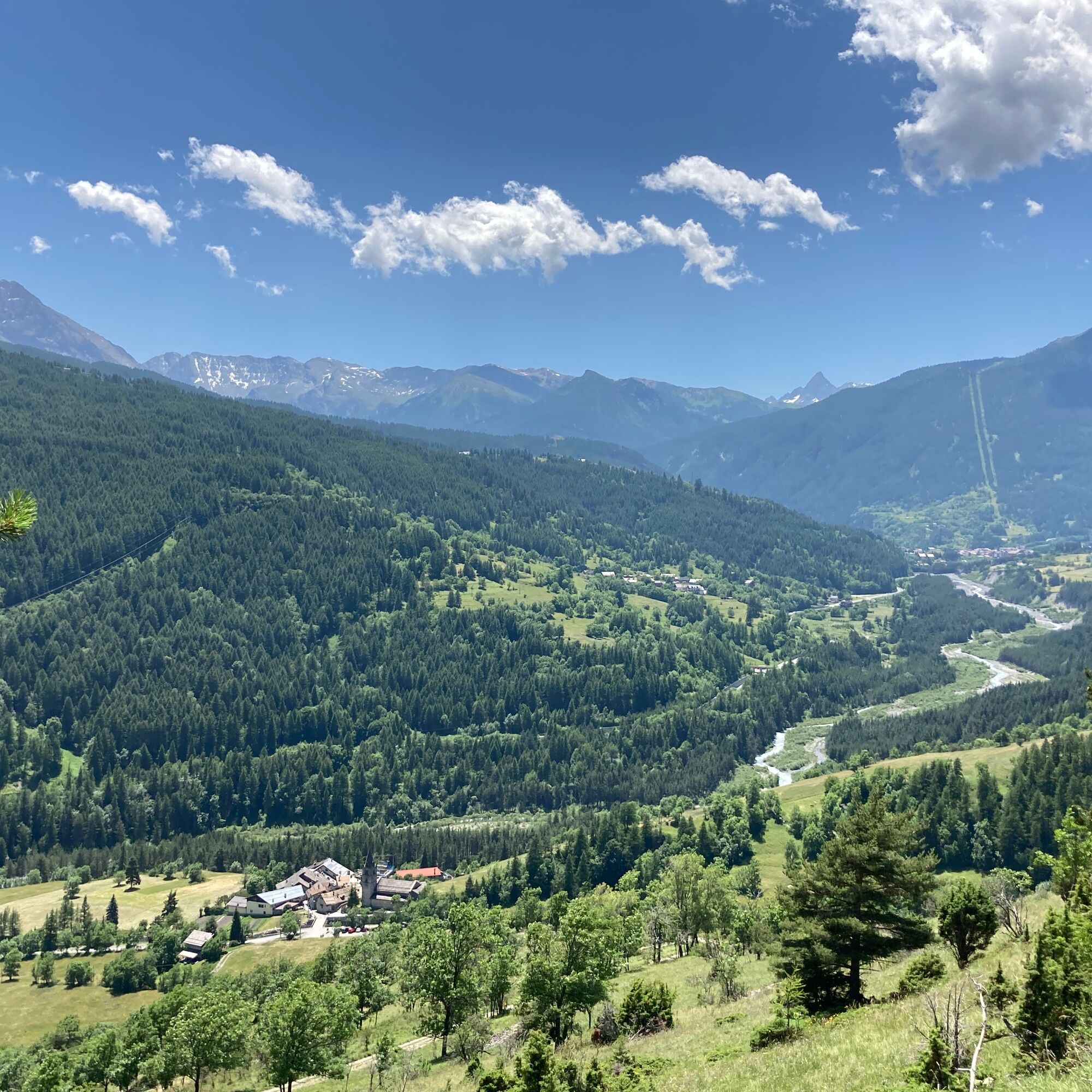
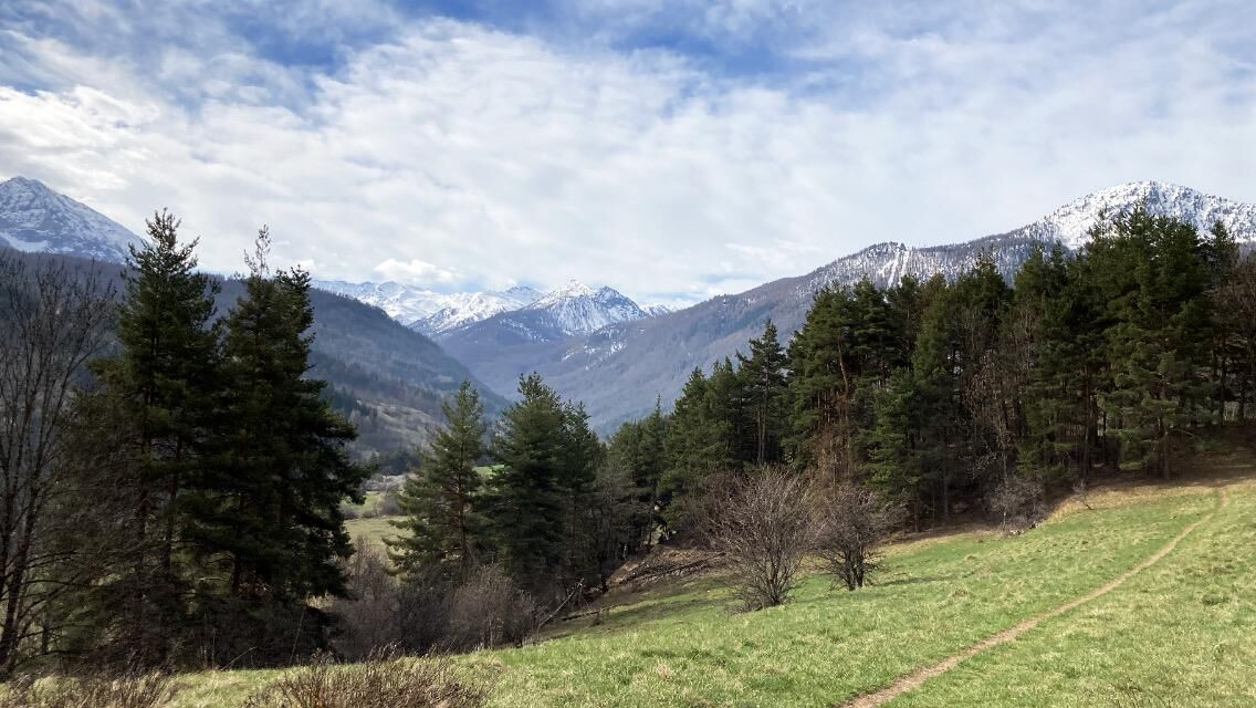

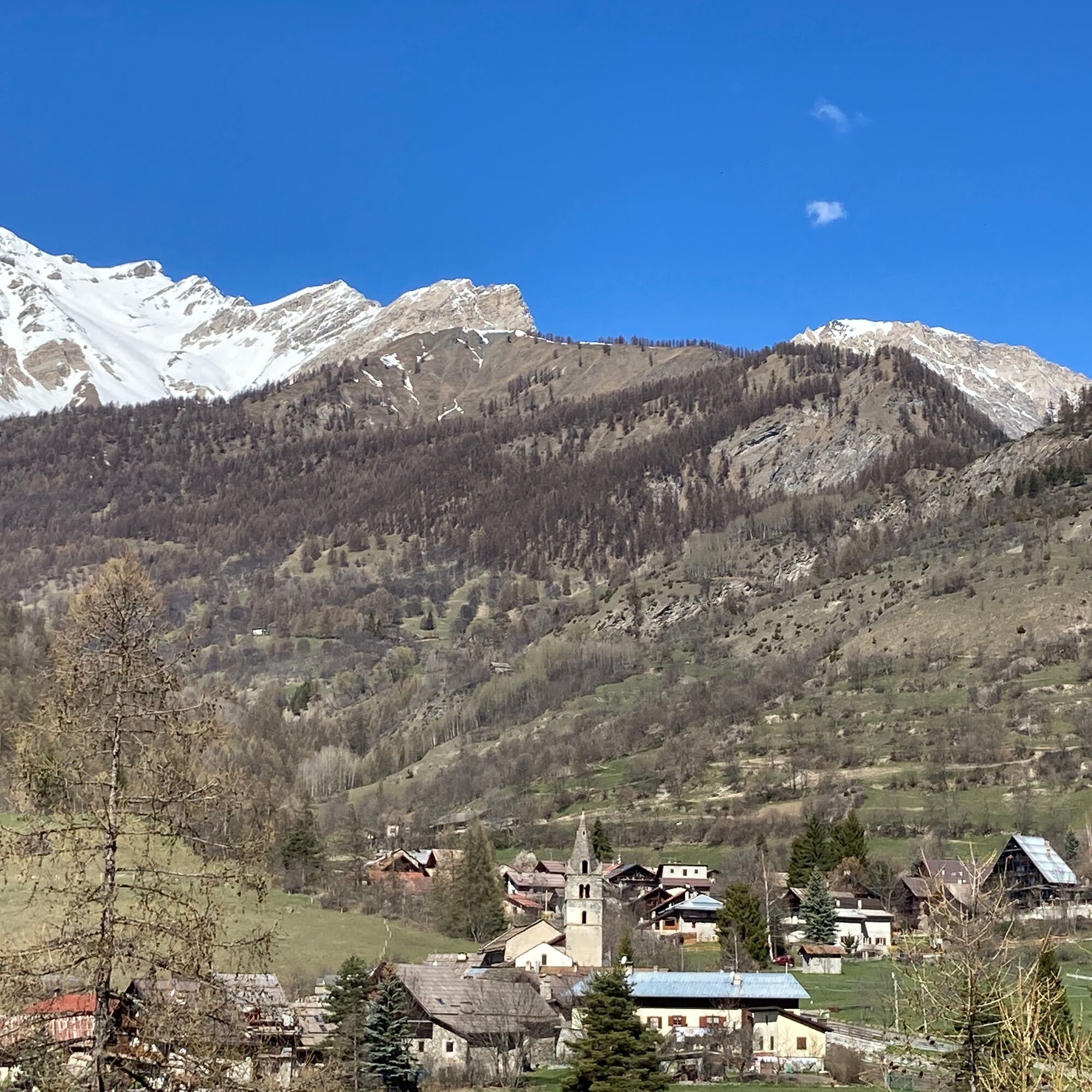
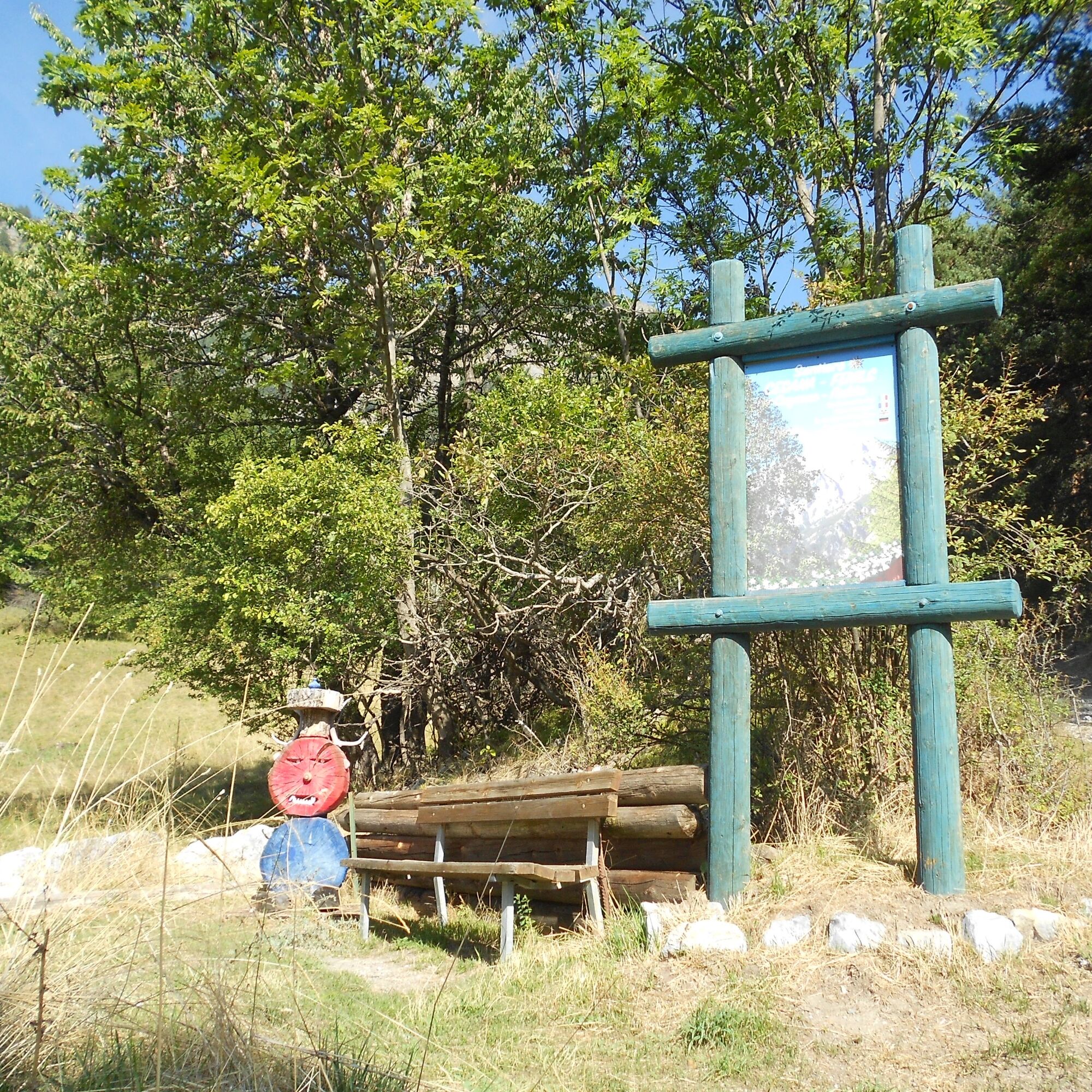
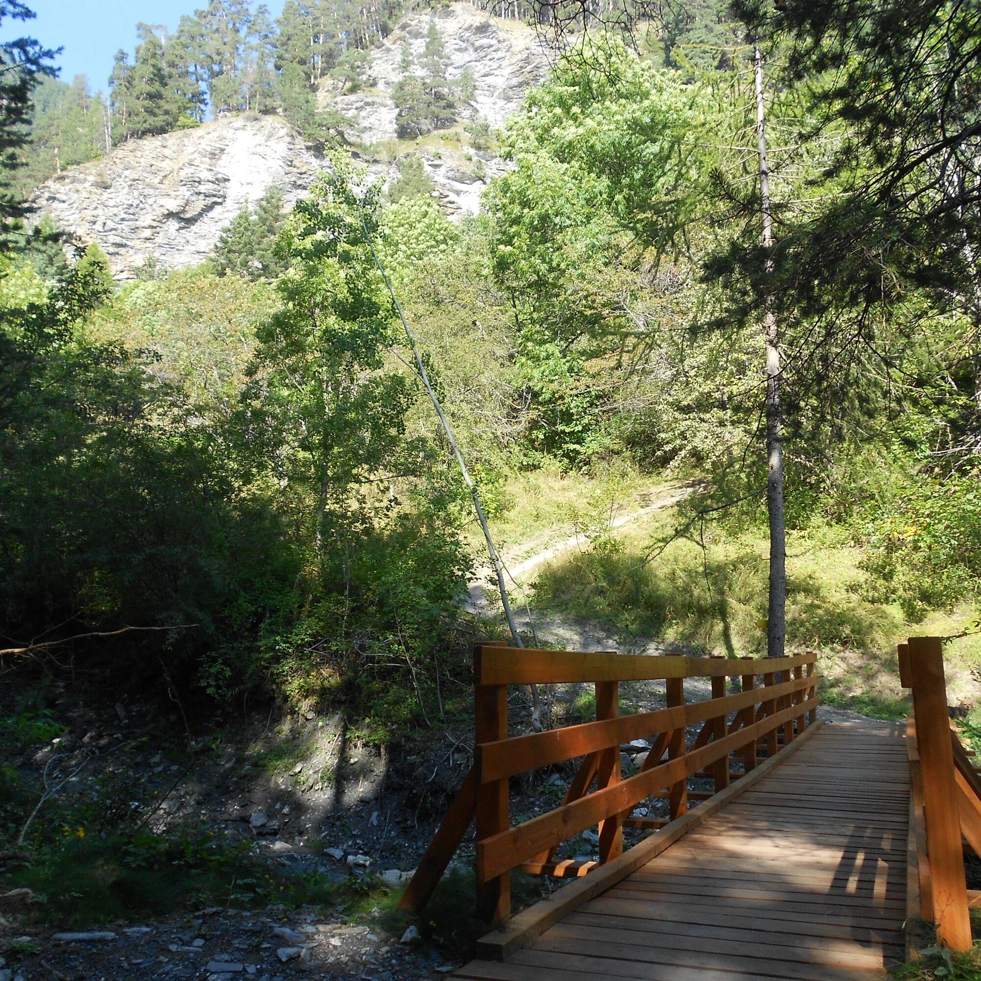
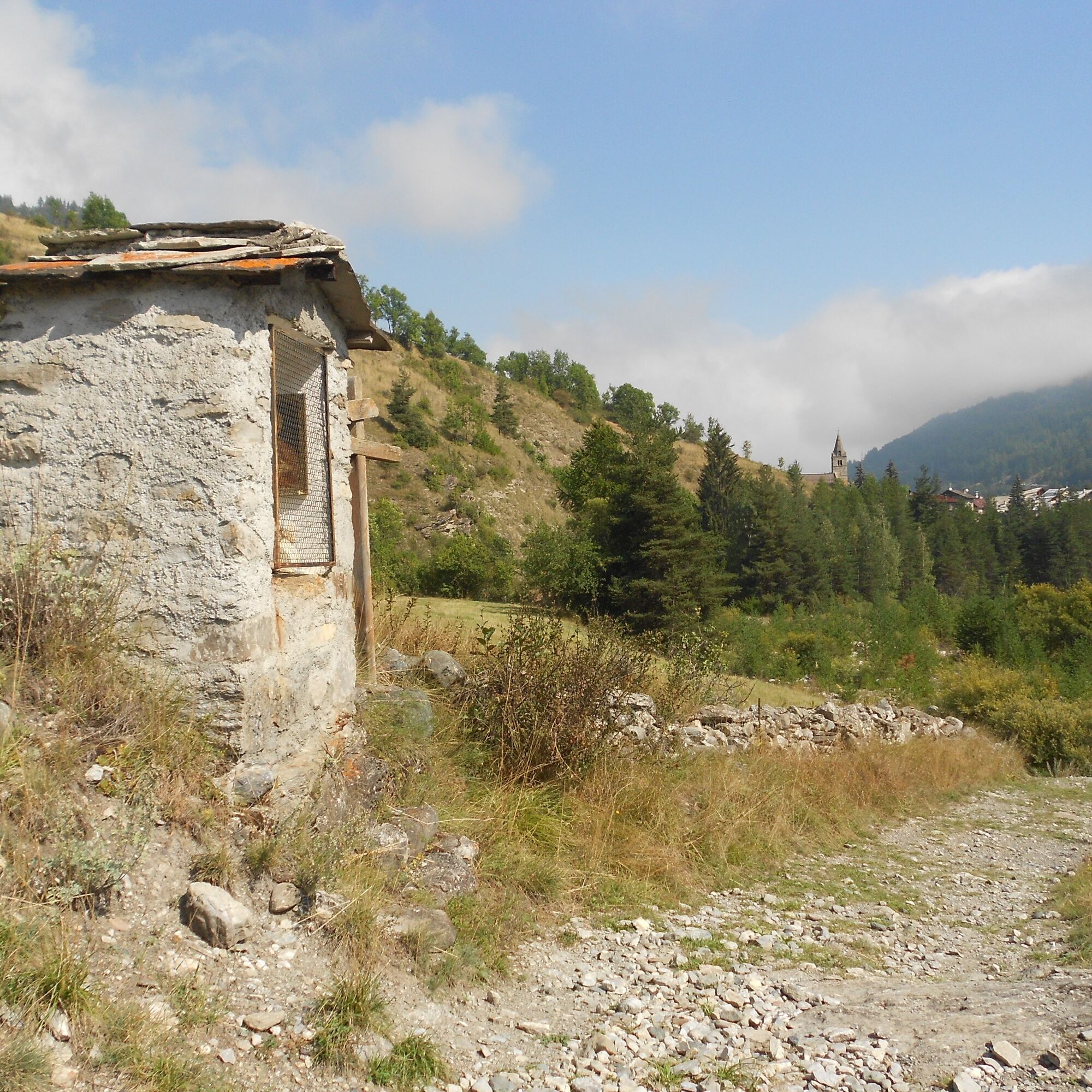
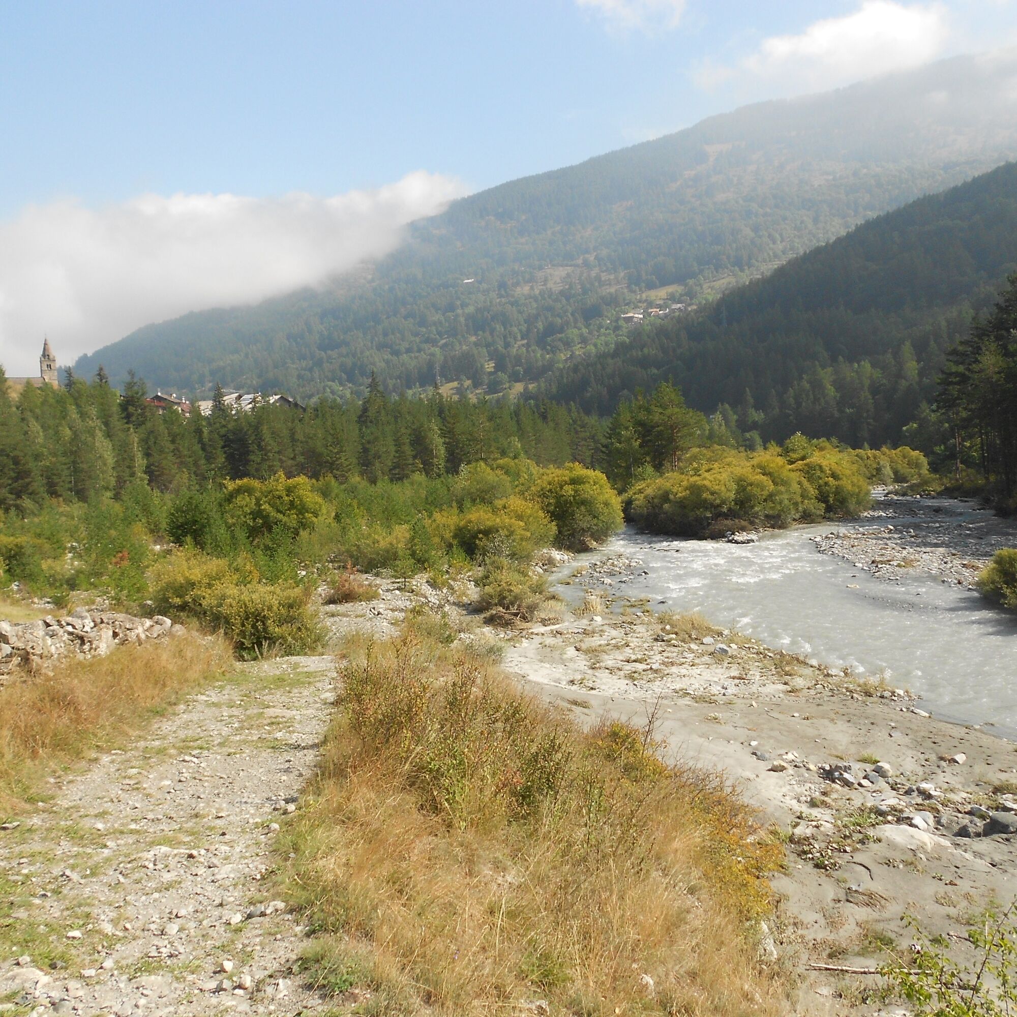
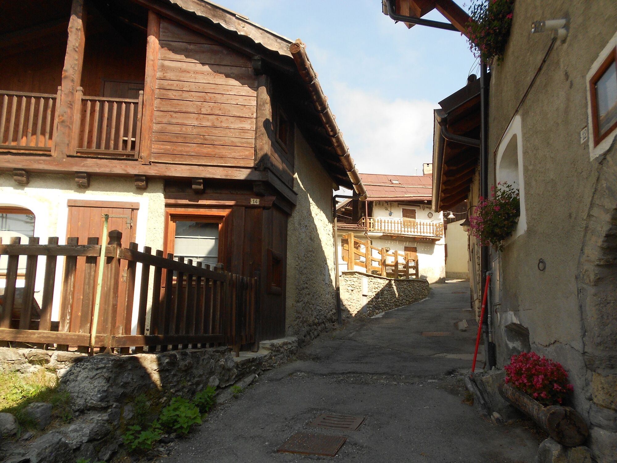
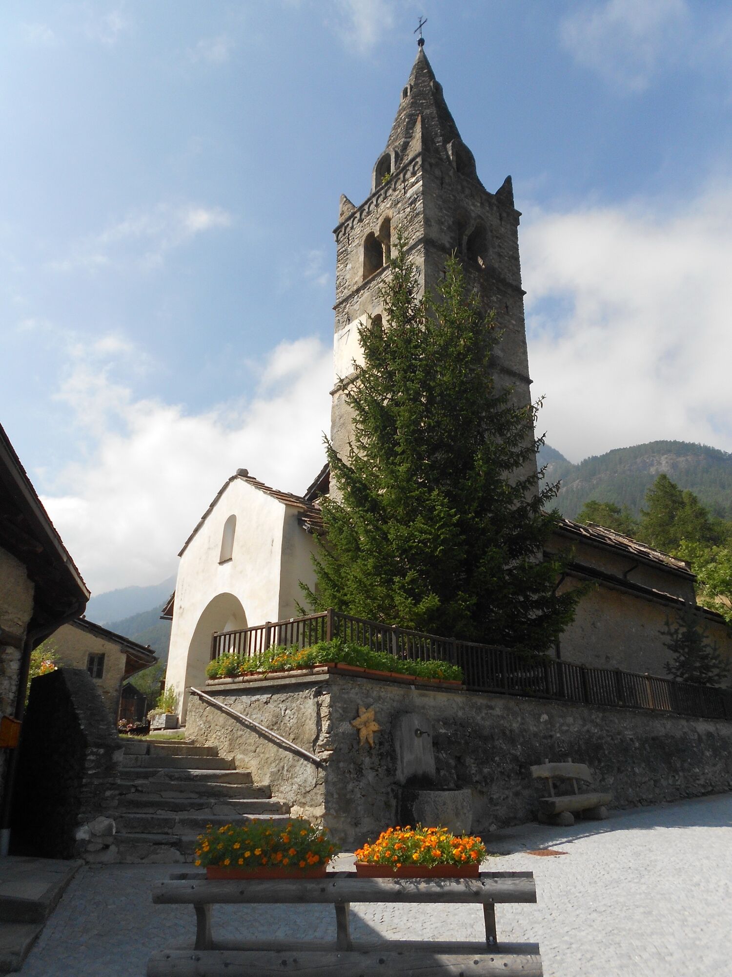
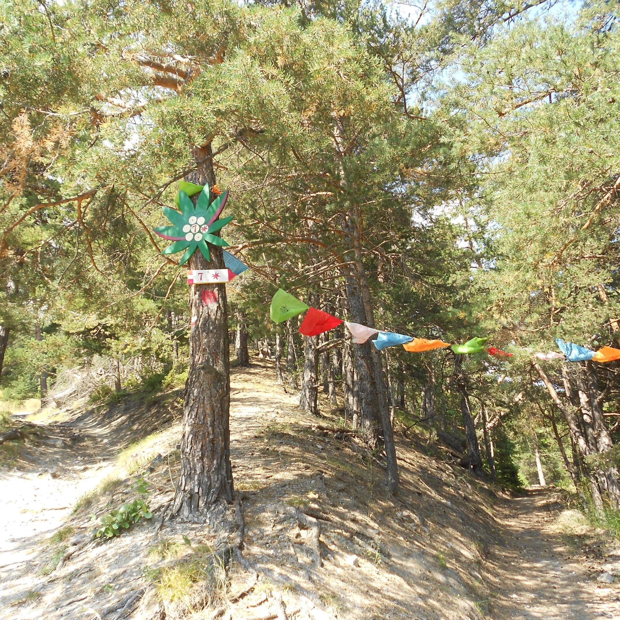
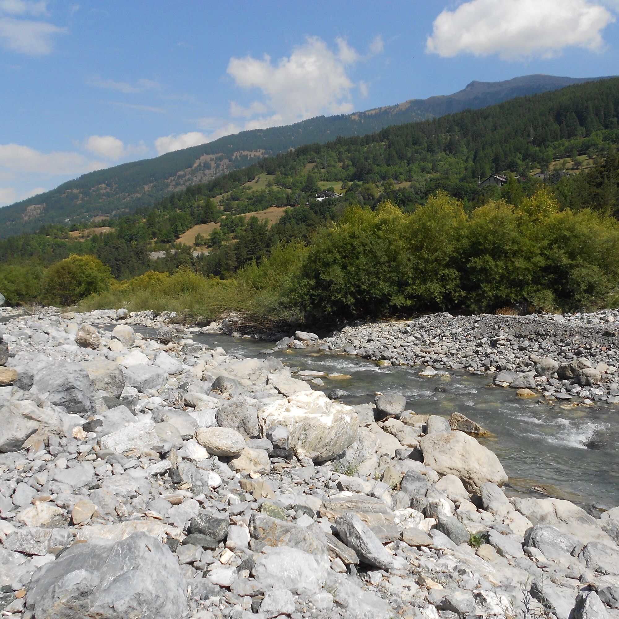
The route starts in Cesana Torinese near the small roundabout already towards Monginevro and France, and the Rock Garden, opposite which there is a large car park. You need to cross the bridge over the Piccola Dora at about 1,340 m near the Edelweiss hotel and set off with a slight ascent on the paved road for about 100 meters, then turn right onto flat Via Ferragut, passing abandoned barracks on the left, at the end of which the road splits and you must continue straight for another 100 meters along Via Carlo Ferragut until the pavement ends, then turn left onto the dirt road. You cross the Rio Malnet (often dry during the summer) with a hairpin bend, and proceed pleasantly on the flat through a deciduous forest; at about 1,360 m the dirt road gives way to a path near a notice board with a bench (in fact there are two paths that fork in the pine forest, one decorated with colored flags, but you can take either since they rejoin shortly after); after crossing a clearing with a bench, you descend briefly into a mainly coniferous forest and cross a beautiful little bridge over the Rio di Cresta Nera at about 1,360 m; immediately a short steep ascent then descend again to reach, at about 1,340 m, a small hill with a notice board and bench. Descending again, after a couple of hairpin bends you reach about 1,280 m and about 2.8 km from the start, the banks of the Dora Riparia River, which you start to follow mainly among Scotch pines and dense willow vegetation. After about 3.6 km from the start you reach a fork: ignoring the left one which leads to Fenils upper village, take the right one; alongside the Dora Riparia, you pass near a small pillar with a bench at the end, from where Vernin is already visible, which you reach shortly after a final short climb along a narrow street through the village to reach the square with the San Giuliano church next to the beautiful little bridge over the Rio Fenils, where the route ends.
If you want to visit Fenils village or refresh yourself at the farm stay, just go up the paved road on the left for about 500 meters.
Áno
Wear clothing and footwear appropriate to the environment and season.
The itinerary includes a section close to the river, so consider the possible danger in case of heavy rain or thawing periods.
By car from Torino follow signs for the North Ring Road towards Trafori - Frejus.
Take the A32 motorway towards Bardonecchia and exit at Oulx -Monginevro-Sestriere.
Continue on state road towards Cesana Torinese
Train from Torino P.N. to Bardonecchia (stops: Oulx-Cesana-Claviere-Sestriere) + Bus Arriva line 285 from Oulx to Sestriere (stop Cesana T.se-Municipio)
Alternatively, bus 285 stop at Fenils if you want to do the route in reverse
Parking options around Piazza Vittorio Amedeo, or in the large car park opposite the Rock Garden
T1
- Before starting any excursion, it is recommended to check the weather bulletins or ask for information at local Tourist Offices.
- It is good practice not to hike alone and always notify someone of your destination.
- Do not litter, carry your rubbish with you, also collecting any left by others.
- The travel times indicated are approximate and may vary according to weather conditions and your own abilities.
Fountains in the center of Cesana and in front of the Fenils bakery
Tasting of typical dishes at the La Gerla farm stay in the Fenils district. If interested in this stop, it is advisable to contact the restaurant before starting the walk.

Obľúbené výlety v okolí
-
5,0
BARDONECCHIA Forte Jafferau Loop
ťažkéMountainbike 36,8 km -
5,0
BARDONECCHIA Col des Acles - Passo della Mulattiera
strednáTuristika 6,23 km -
5,0
SESTRIERE Monte Rognosa
ťažkéTuristika 6,42 km -
BARDONECCHIA Monte Jafferau
ťažkéTuristika 11,6 km -
BARDONECCHIA - Loop Colle della Scala - Col de Montgenèvre - Colle del Sestriere
ťažkéCestný bicykel 91,9 km -
5,0
CESANA T.SE Thures - Cima Bosco
ťažkéSnežnice 3,94 km -
4,0
BARDONECCHIA Sentiero dei Cosetti by Luciano Ferraris
svetloTuristika 3,24 km -
5,0
BARDONECCHIA Chesal nature route
svetloTuristika 3,48 km -
CESANA T.SE Lago Nero - Seven Colors Lake
strednáTuristika 3,51 km -
5,0
BARDONECCHIA Decauville
svetloSnežnice 4,11 km

Turistika a stopovanie


Nenechajte si ujsť ponuky a inšpiráciu na ďalšiu dovolenku
Vaša e-mailová adresa bol pridaný do poštového zoznamu.