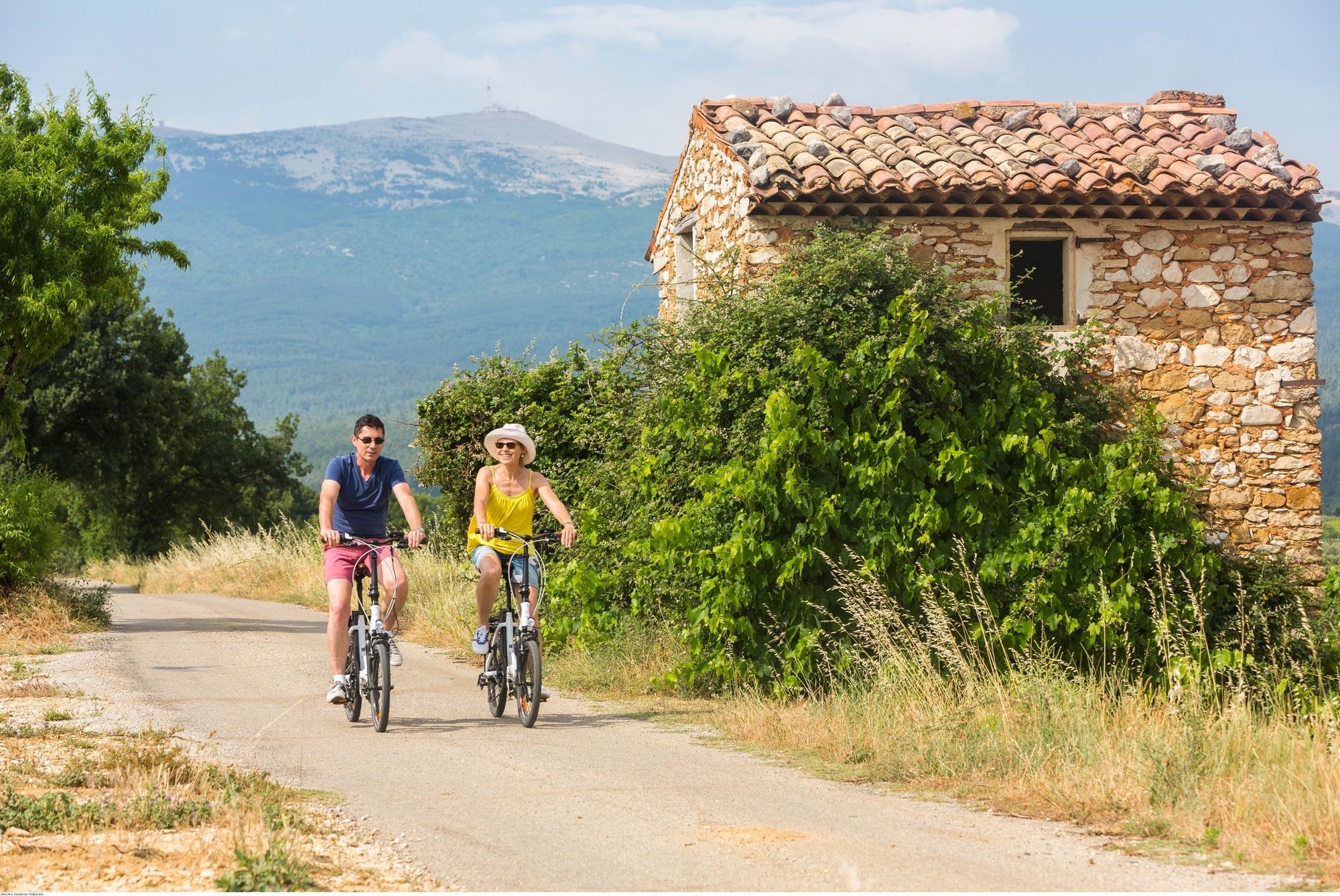
© Vaucluse Provence - CAILHOL Xavier/Go Production

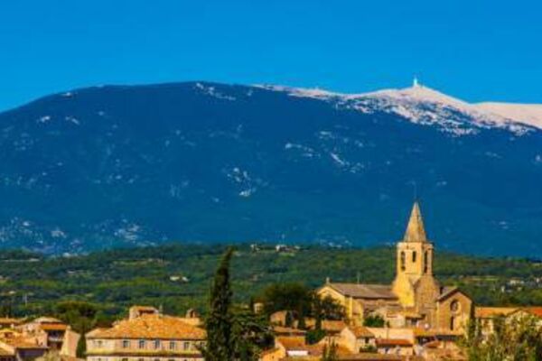
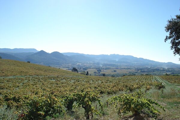
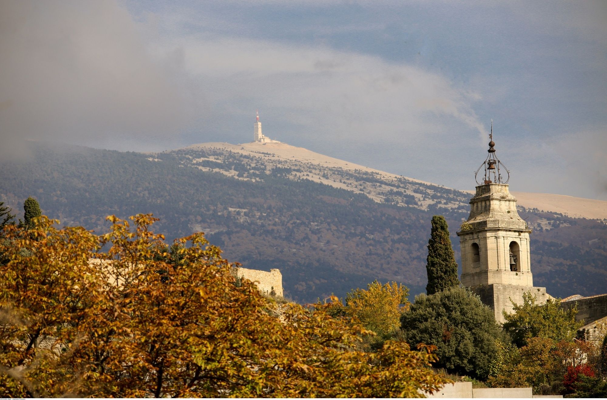
© Vaucluse Provence - HOCQUEL Alain

© Vaucluse Provence - HOCQUEL Alain

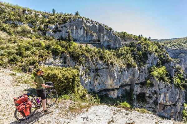
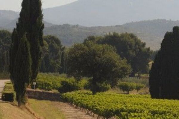
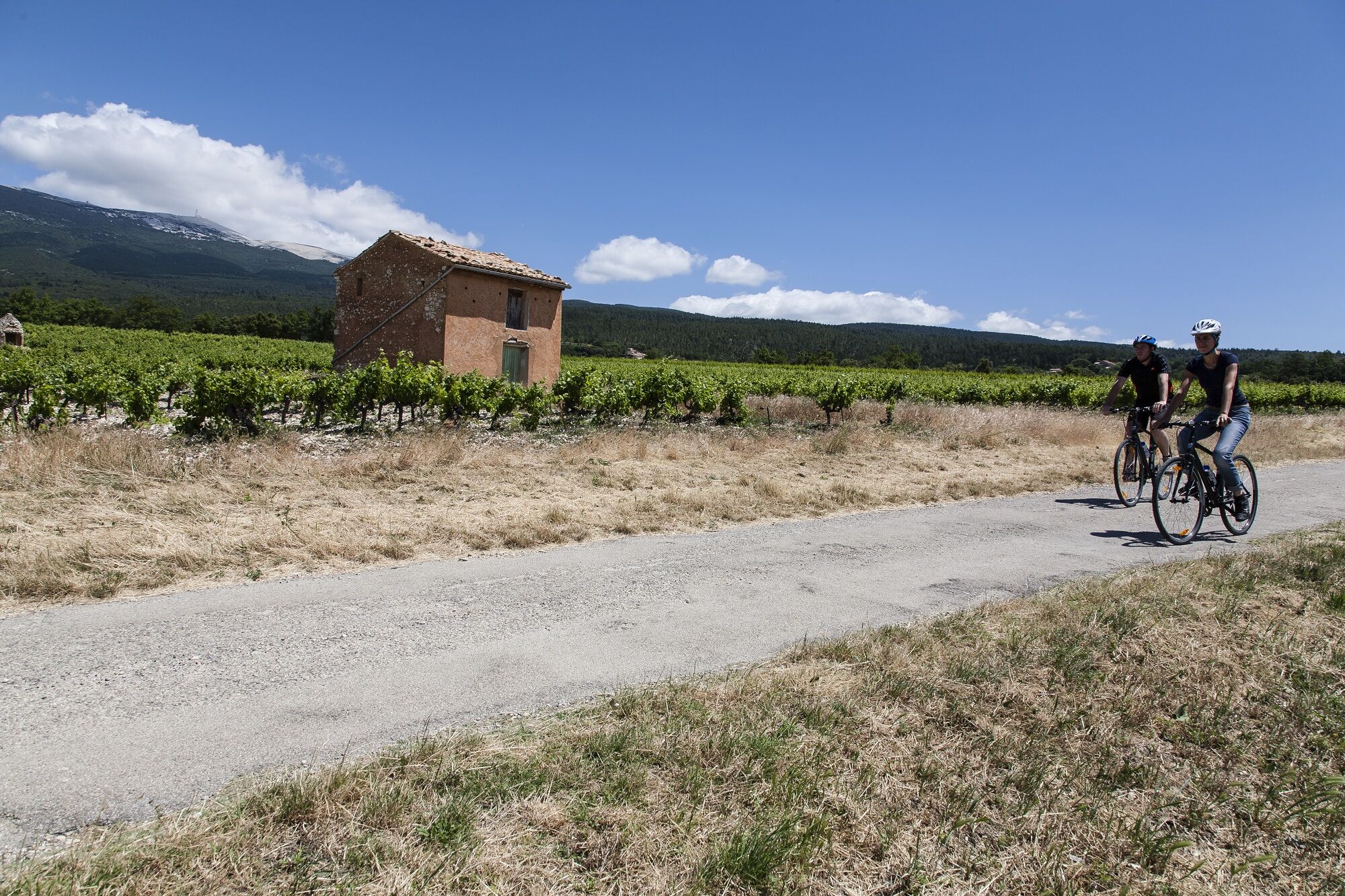
© CoVe SMAEMV C. Constant

© CoVe SMAEMV C. Constant

- Stručný popis
-
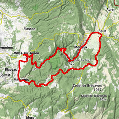
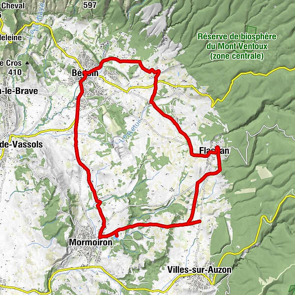
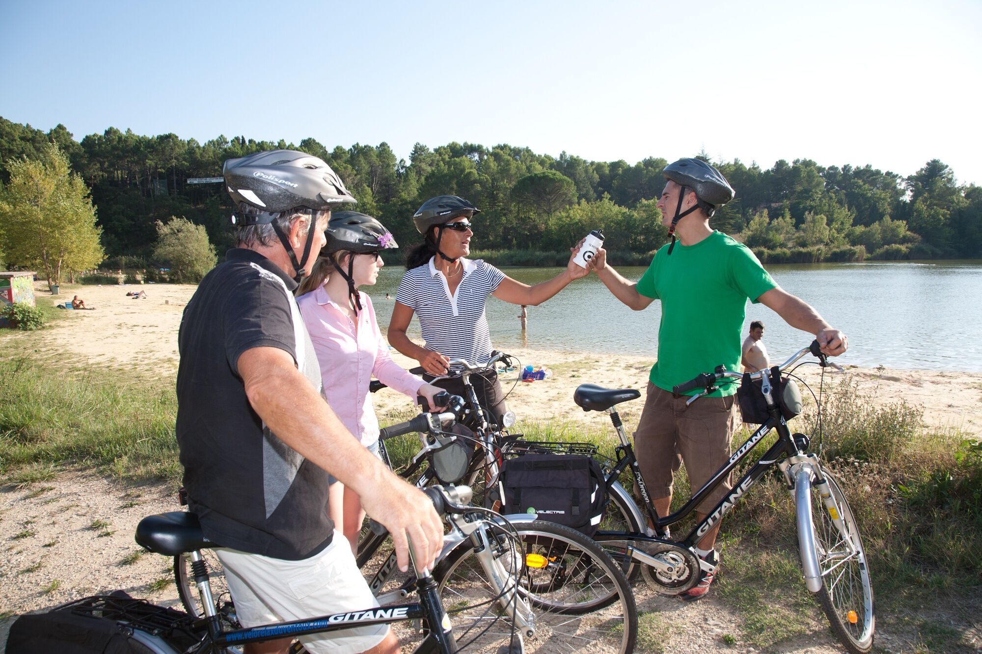
Distance: 23 km - Easy level - Signposted - Car park: Bedoin, car park on the outskirts of the village, in the direction of the Mont Ventoux.
- Obtiažnosť
-
ľahká
- Hodnotenie
-
- Trasa
-
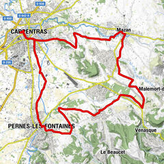
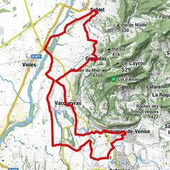
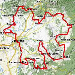
Bédoin0,3 kmHameau des Jean Blanc1,9 kmLes Baux4,0 kmLes Vendrans6,2 kmLe Chemin de Bédoin7,6 kmFlassan8,6 kmÉglise Notre-Dame9,1 kmLouiron9,1 kmLe Village9,1 kmSource de l’Auzon9,6 kmSource du lac de Flassans (330 m)12,7 kmMormoiron17,0 kmLes Maridats20,3 kmBédoin23,2 km
- Najlepšia sezóna (ročné obdobie)
-
janfebmaraprmájjúnjúlaugsepoktnovdec
- Najvyšší bod
- 444 m
- Cieľová destinácia
-
Bedoin
- Profil nadmorskej výšky
-
 © outdooractive.com

- Autor
-
Prehliadka 18 - Gateway to Mont Ventoux používa outdooractive.com na stránke ..
GPS Downloads


Ďalšie prehliadky v regiónoch