


S8 Einsiedelei- Grallerei


Fotografie našich používateľov


Short mountain running route (especially good for training) to a beautiful and spiritually inspiring destination.


From the starting point, the route initially follows the road and a forest path relatively gently uphill to Lichtenberg Castle. Then steeply uphill over stepped and rooted terrain to the famous hermitage. Surefootedness required.
Then follow the same route back to the starting point.
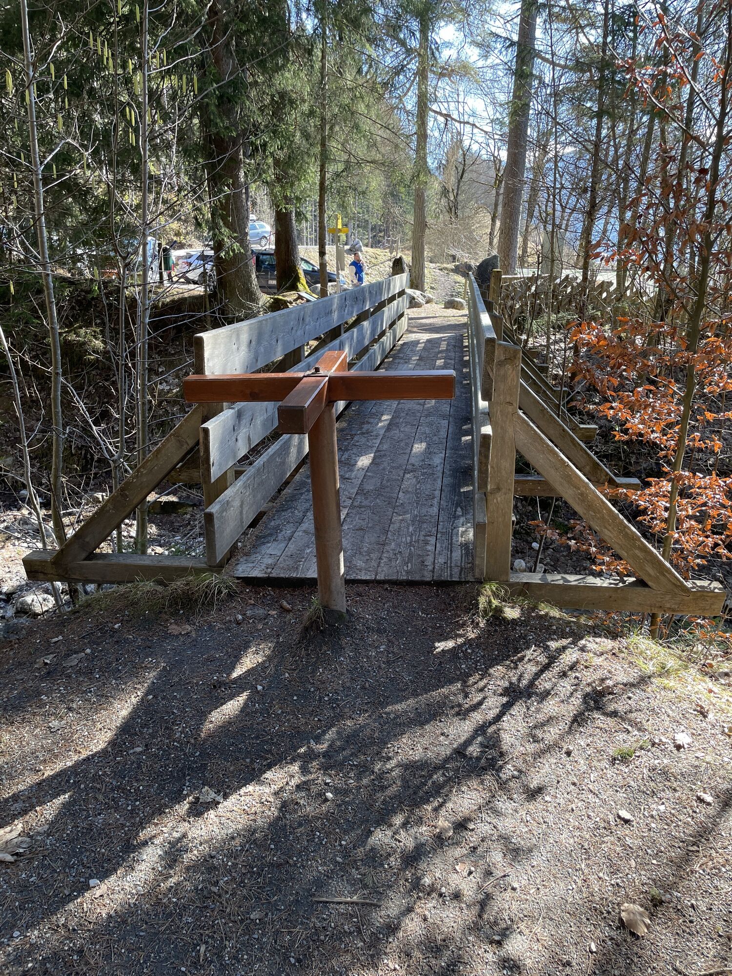
Surface: Gravel, forest floor
BY CAR
Drive on the Pinzgauer federal highway B311 from Saalfelden in the direction of Lofer. About 500 m after the roundabout at the Interspar supermarket, take a right into 'Anton-Wallner-Straße'. Follow the road for 350 m, then take a left into the Lichtenbergstraße. Follow the road for about 1.5 km until reaching the school grounds and your right. The run starts here.
Take the train and start to enjoy your vacation as soon as you leave home. Relax and enjoy the view as you travel to Saalfelden Leogang with no traffic to slow you down. Visit the website of the Austrian railway (ÖBB) for schedules and tickets to Saalfelden station: www.oebb.at
BY BUS
The starting point at the car park Bürgerau can be reached by bus from the city center of Saalfelden. From the bus stop ‘Saalfelden Föhrenweg’ the starting point can be reached on foot in approx. 10 minutes. Further information can be found at https://fahrplan.salzburg-verkehr.at/
Tip: Book the Loigom Soifen shuttle at +43 662 265500. This will take you easily and conveniently from various parts of Leogang and Saalfelden to the starting point. Further information can be found at https://salzburg-verkehr.at/shuttle/
Parking area above the school
In dry weather, with sturdy shoes and sure- footedness, you can make this route into a loop trail leading down to Bachwinkel.
Webové kamery z prehliadky
Obľúbené výlety v okolí
-
4,8
Summit storming route Taghaube
ťažkéTuristika 6,25 km -
4,8
Summit stormer route Lauskopf
ťažkéTuristika 8,16 km -
5,0
Königssee - Kärlinger-Haus
Turistika 10,1 km -
4,4
Riemannhaus
ťažkéTuristika 3,69 km -
4,4
Wimbachgrieshütte
Turistika 8,30 km -
4,5
Birnbachloch Leogang, Österreich
strednáTuristika 5,18 km -
5,0
Watzmann Überschreitung an einem Tag
ťažkéTuristika 23,9 km -
4,3
Peter-Wiechenthaler Hut
strednáTuristika 4,32 km -
4,1
Passauer Hütte
ťažkéTuristika 4,14 km -
3,9
Persailhorn South via ferrata
strednáVia ferrata 6,83 km
Turistika a stopovanie


Nenechajte si ujsť ponuky a inšpiráciu na ďalšiu dovolenku
Vaša e-mailová adresa bol pridaný do poštového zoznamu.