
- Stručný popis
-
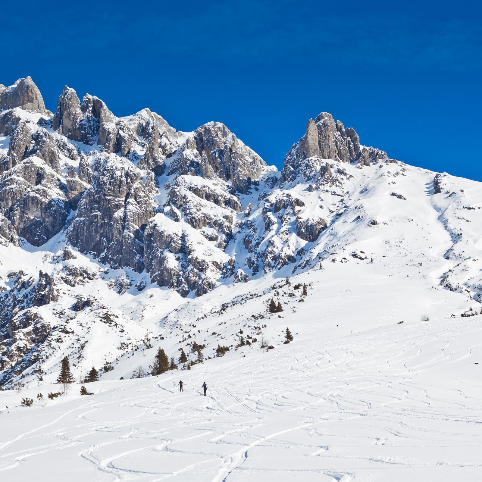
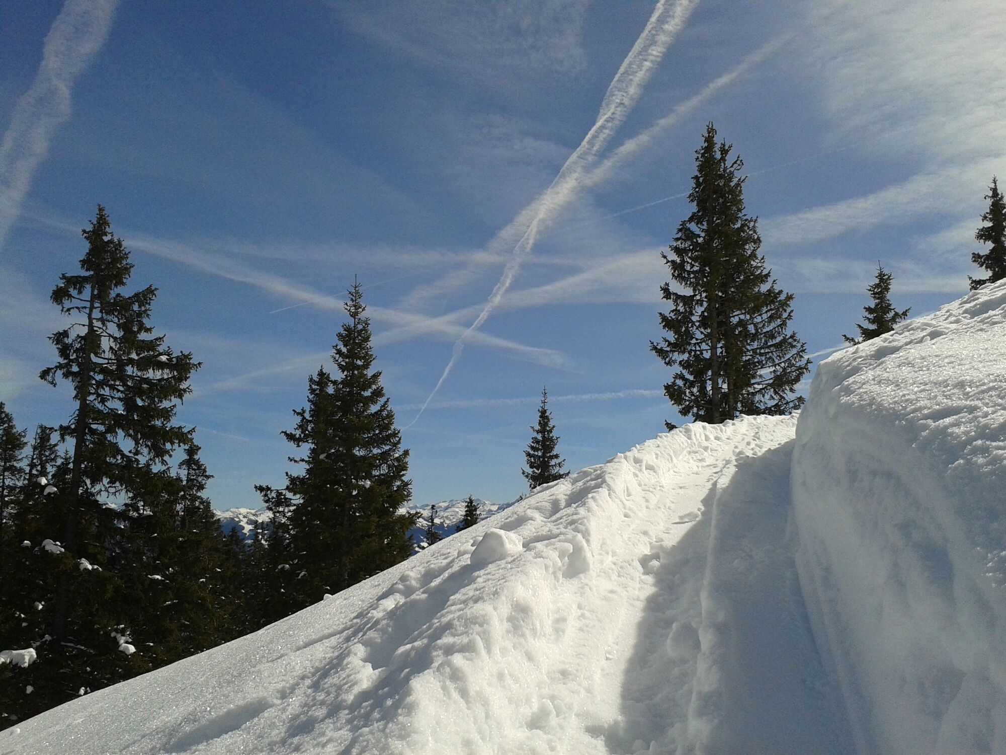
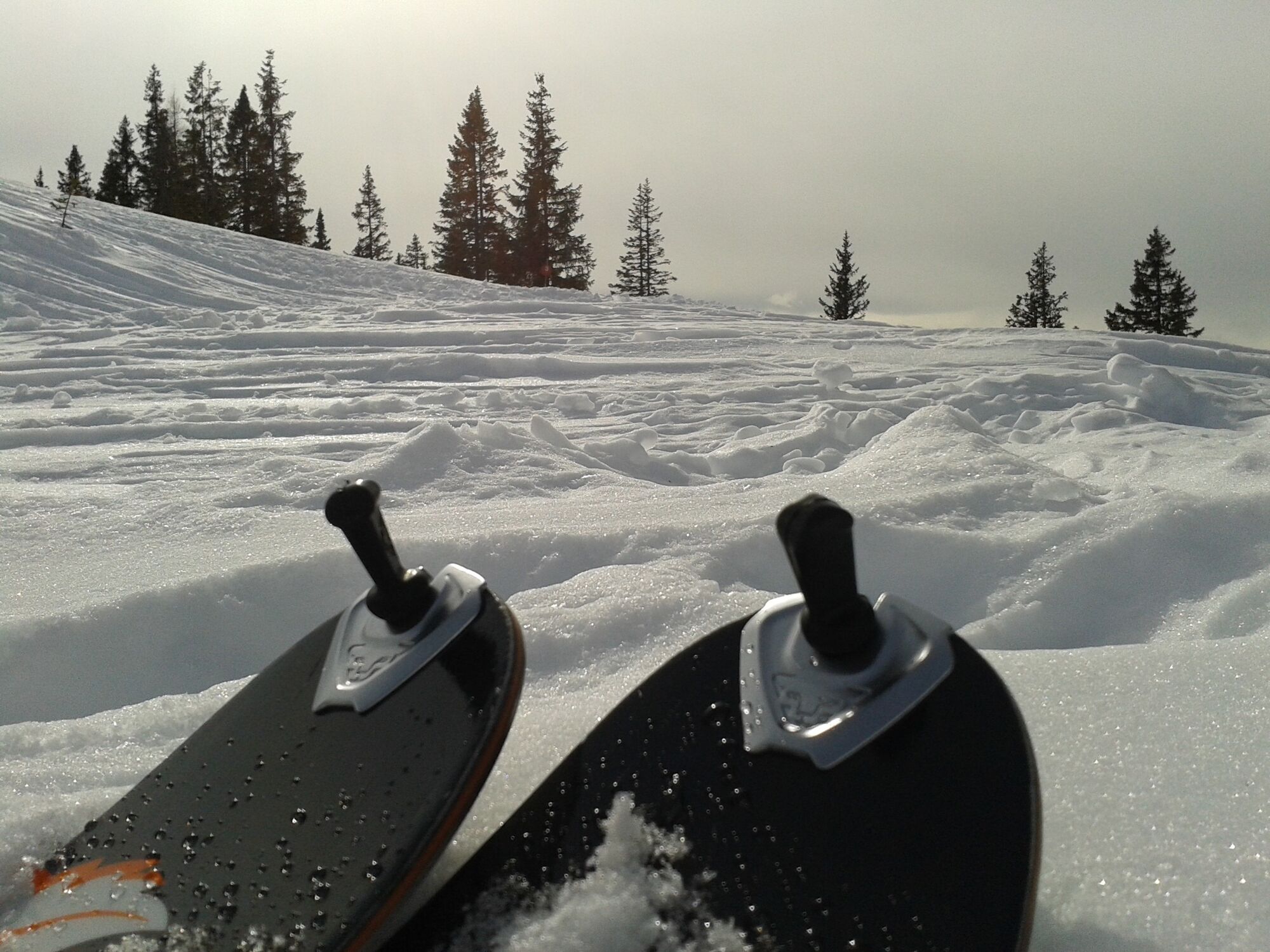
Moderately difficult tour in fantastic landscape. Slowly getting steeper and steeper towards the top, due to the southwest orientation the upper part of the tour is longer in the shade.
- Obtiažnosť
-
stredná
- Hodnotenie
-
- Najlepšia sezóna (ročné obdobie)
-
augsepoktnovdecjanfebmaraprmájjúnjúl
- Najvyšší bod
- 2.137 m
- Cieľová destinácia
-
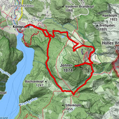
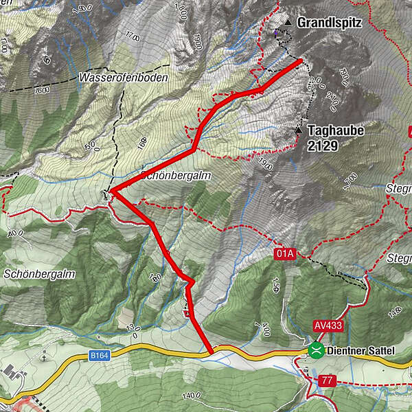
Cleft between Grandlspitz and Taghaube
- Exposition
- Profil nadmorskej výšky
-

- Autor
-
Prehliadka Skitouring Taghaube (Taghaubenscharte) používa outdooractive.com na stránke ..
GPS Downloads


Ďalšie prehliadky v regiónoch
-
Hochkönig
140
-
Dienten am Hochkönig
37