


Pleasure hike, Karbachalm - Pronebenalm - Pauss - Mühlbach
Fotografie našich používateľov
-
 © Reinhard FlorreitherVytvorené dňa 07.09.2025
 -
 © Michael GanswindVytvorené dňa 28.06.2025
 -
 © Michael GanswindVytvorené dňa 28.06.2025
 -

 © feinschmeckerontourVytvorené dňa 10.07.2024
 -
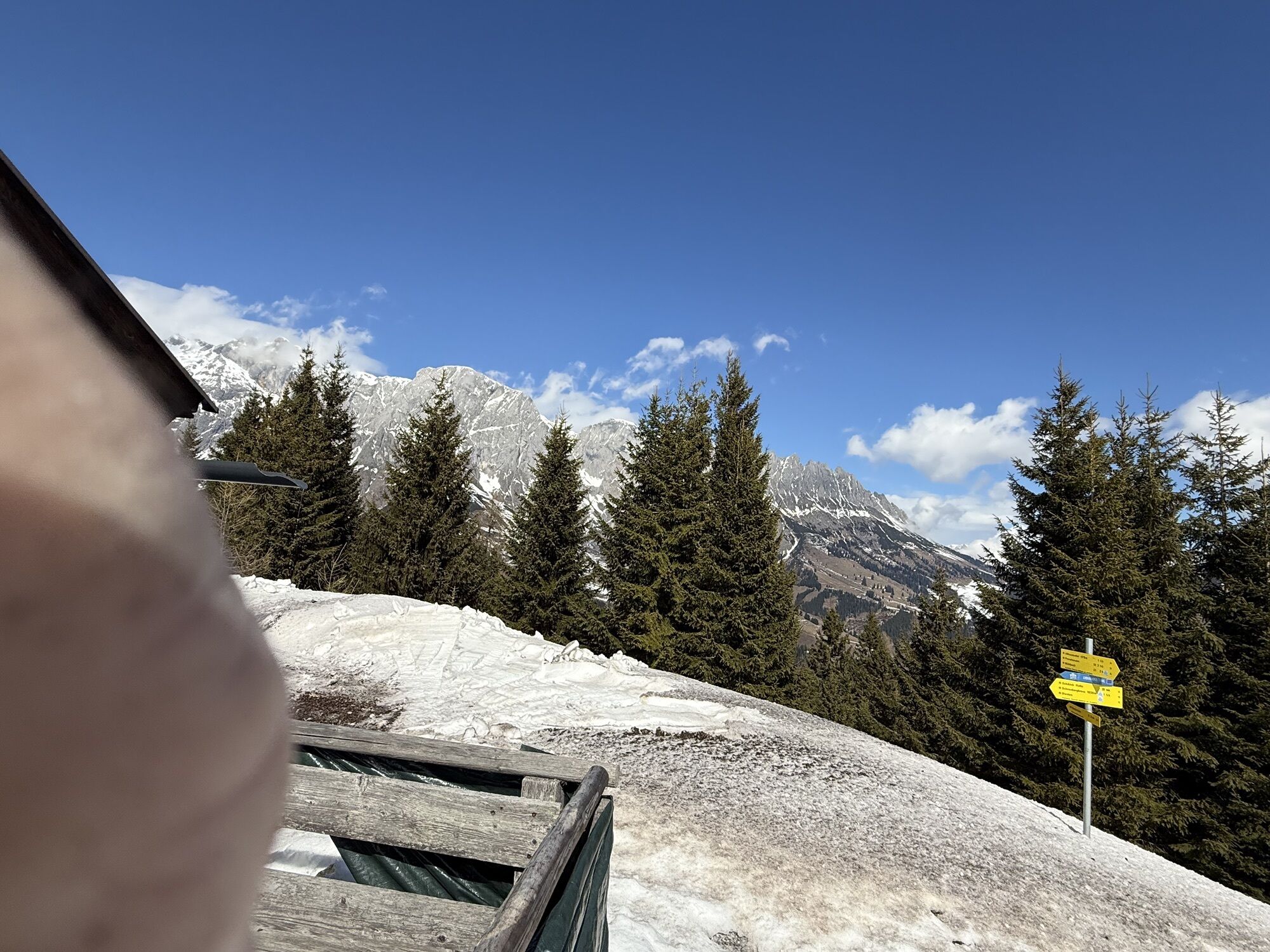
 © Richard PalmetzhoferVytvorené dňa 28.03.2026
 -

 © FranzVytvorené dňa 16.03.2026
 -
 © FranzVytvorené dňa 16.03.2026
 -
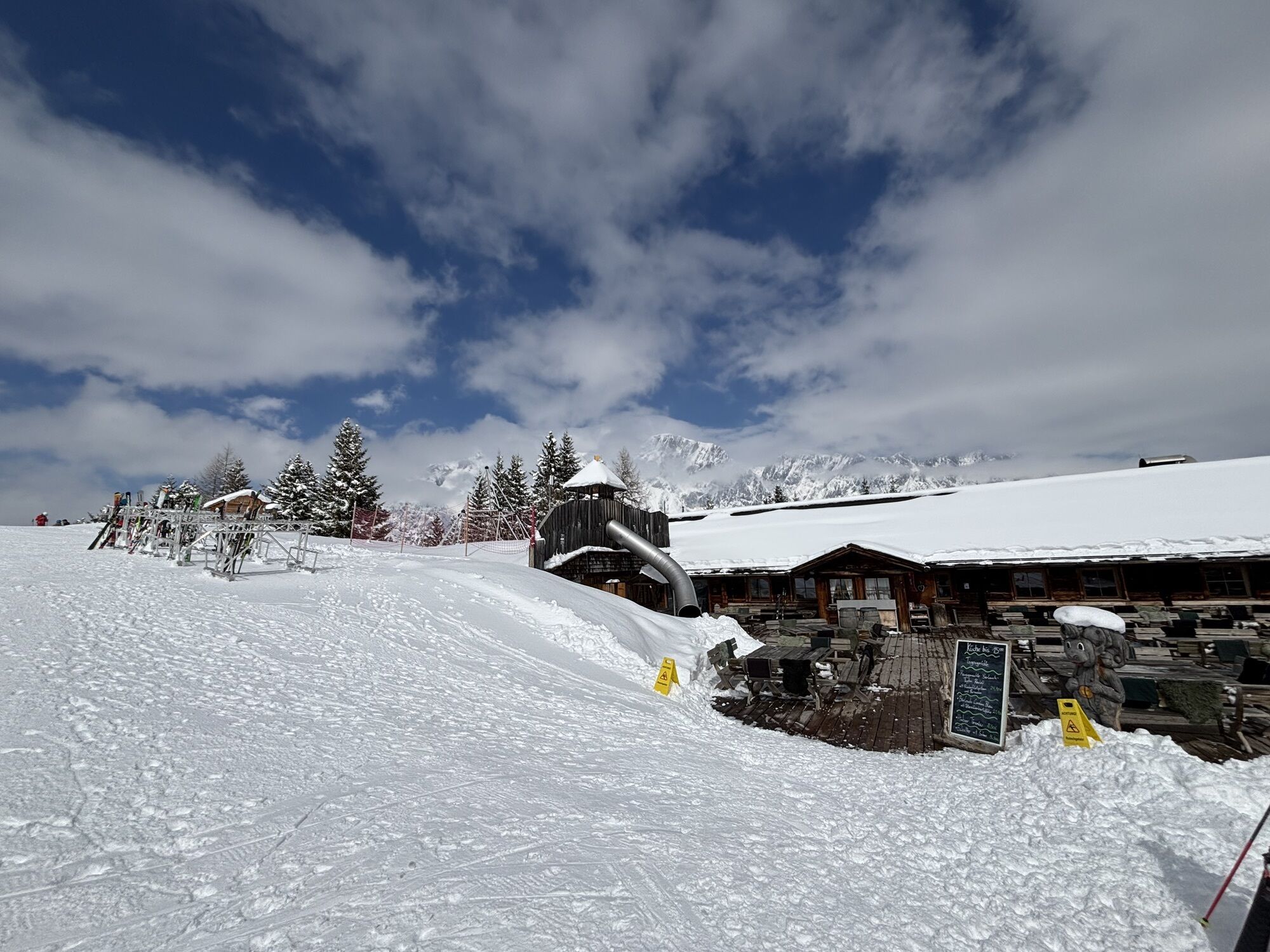
 © Michael SchroffnerVytvorené dňa 21.12.2024


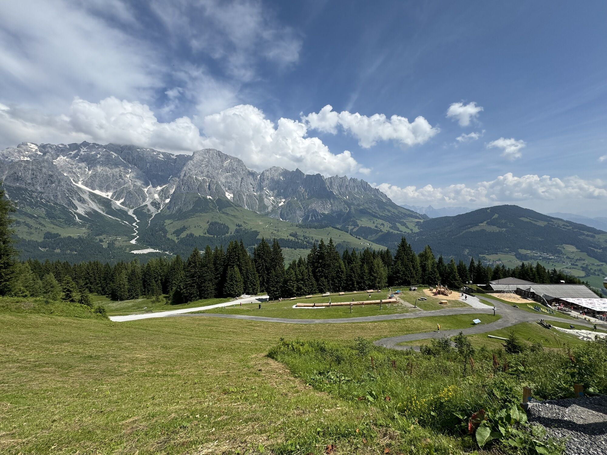


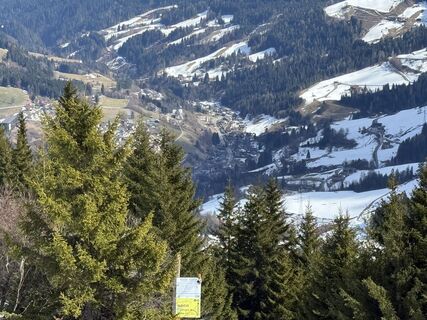
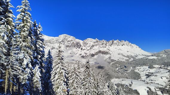
The hike from the Karbachalm via trail no. 79 to the Althaussattel and the Hubertuskapelle leads through the Mühlbach forests, which again and again offer spectacular views of the majestic Hochkönig. We...
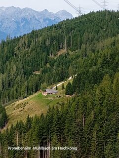
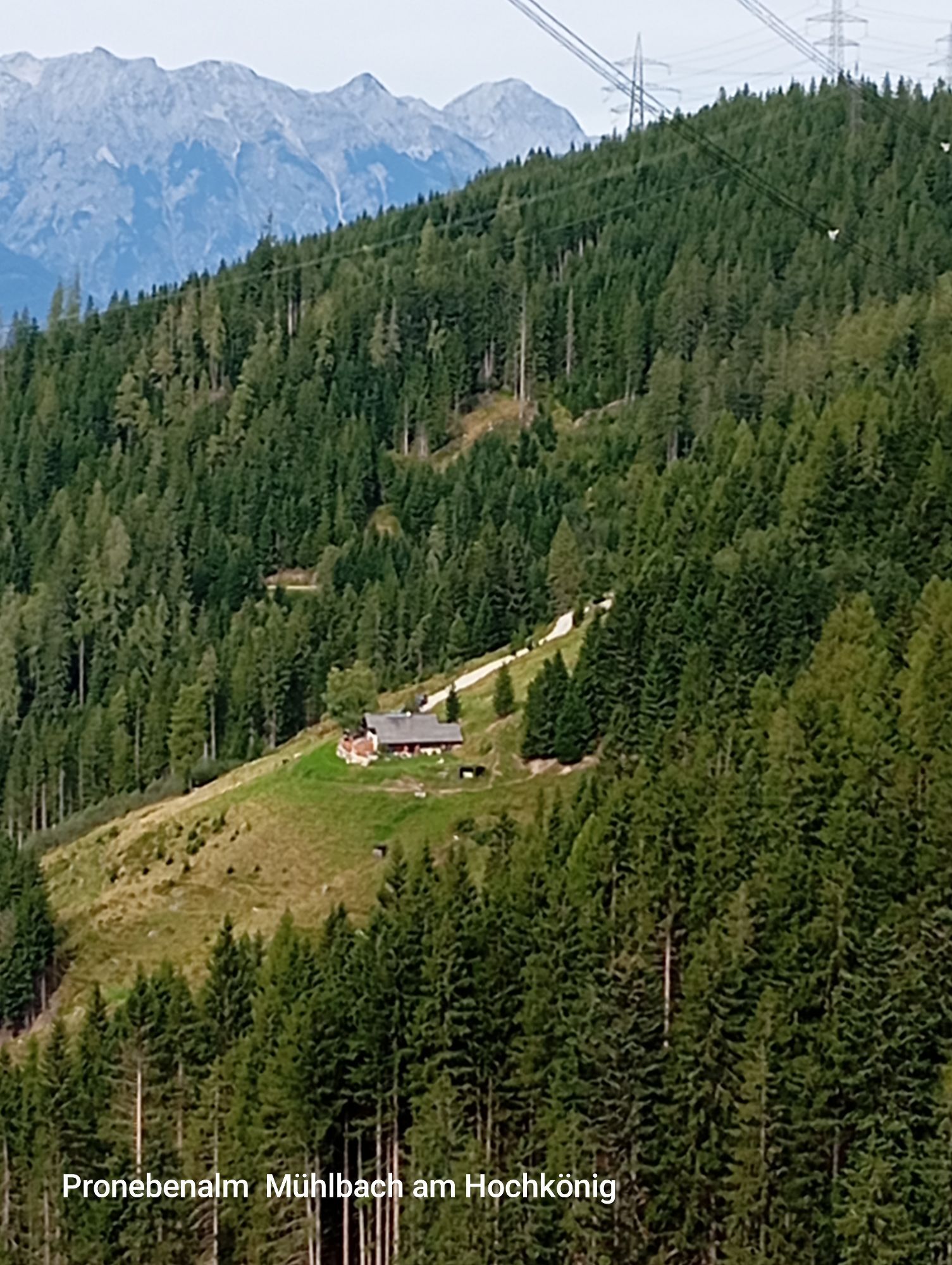
The hike from the Karbachalm via trail no. 79 to the Althaussattel and the Hubertuskapelle leads through the Mühlbach forests, which again and again offer spectacular views of the majestic Hochkönig. We continue on trail no. 17, a short stretch steeply uphill to the so-called "Ruheoase". After a rest, the trail heads quickly downhill to the Pronebenalm, where we enjoy a Hochkönig snack. Afterwards the sculptures of Mühlbach artists accompany us via the Paussenberg Gallery back to the village.

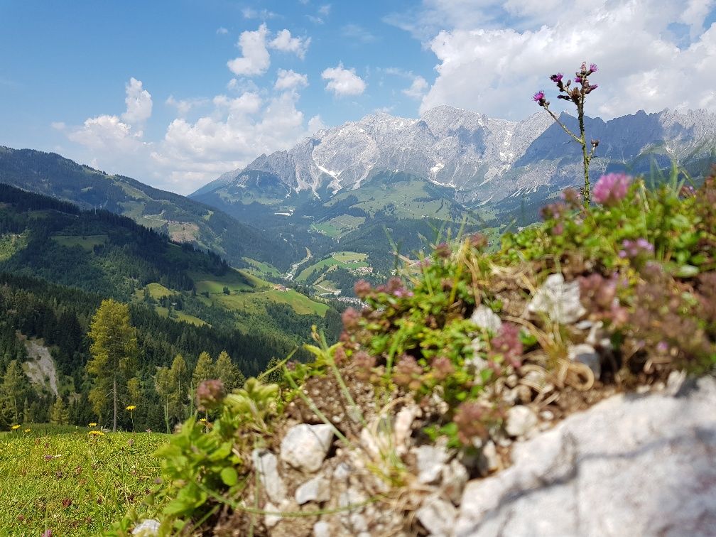

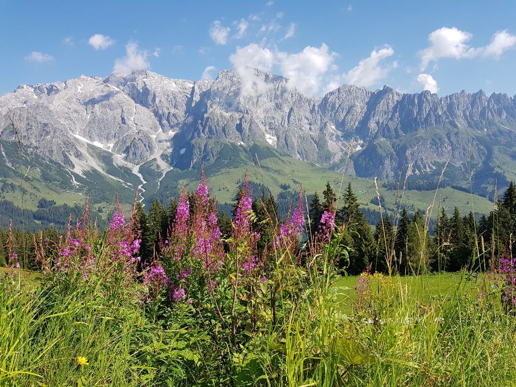
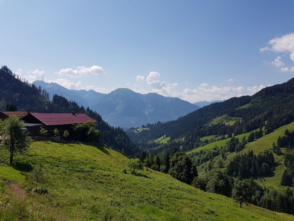
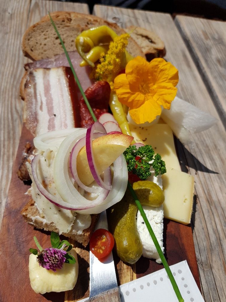
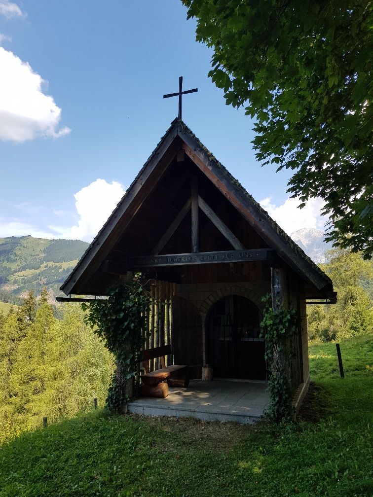
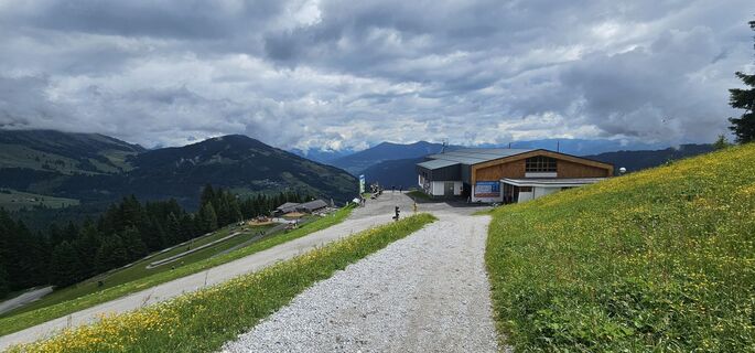
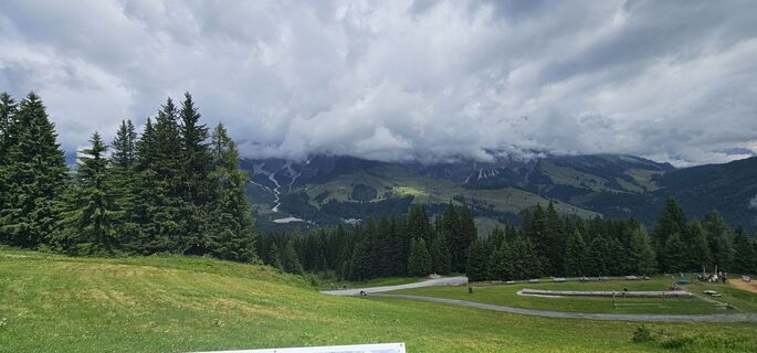
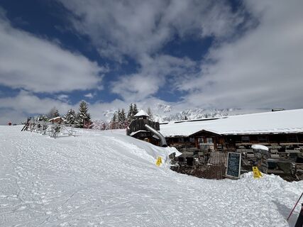
The cable car Karbachalm (please note operating hours!) takes us to our starting point, the Karbachalm, at 1.590m. At the top station we already enjoy the wonderful views of the Hochkönig, the Tennengebirge, the Dachstein and the Niedere Tauern. We hike downhill to the Karbachalm (path no. 75b) and pass the hut on the right hand side via the terrace. Now path no. 15 becomes a little steeper, but already after about 300m we follow the path to the right. Here we pass the lift track and in a loose up and downhill section we enter a cool forest. Again and again the forest thins out and impressive views of the Hochkönig massif open up. Finally we reach a forest road, cross it again and again down into the forest and follow trail no. 79 downhill (follow the markings on the trees) to Althaus Sattel. The last part to Althausalm we walk along the forest road and enjoy the view towards St. Veit and the Salzach Valley. At the Althausalm we can refresh ourselves and get back on the trail. We now walk uphill on a wide forest road to the Hubertus Chapel. Here the hunters celebrate numerous solemn devotions. Now we have to turn left and the path leads steeper uphill through a forest. With a bit of luck we will also find chanterelles and boletuses along the way. After the ascent, the forest thins out and we stop at the oasis of peace for a short rest and enjoy the wonderful panorama before we follow the path downhill to the Pronebenalm, where we can enjoy a Hochkönig snack and homemade juices. From the Pronebenalm, a narrow forest path, also called "path of good thoughts", leads steeper downhill until we reach a flatter pasture. We greet the friendly cows and walk on along a farm track to the Paussbauer. The sculptures of Mühlbach artists now accompany us via the Paussenberg Gallery back to the village. At the end of the Paussenberggalerie we turn left over a small bridge and walk through a housing estate and past the ice rink towards the center of the village. After the ice rink the path leads right over a bridge. On the left side is the Bauer bakery and thus the center of Mühlbach, the destination of our hike.
Áno
Firm, ankle-high footwear
Hiking poles
Headgear
Sun protection
Sunglasses
Drinking bottle
self-assessment: Check your physical fitness before every mountain tour and correctly assess your strength and that of your companions - especially your children! Surefootedness and a head for heights are often very important!
planning and preparation: Plan every intended mountain tour in advance. Hiking maps and guides as well as information from alpine clubs and local experts such as mountain guides and hut keepers can be helpful.
equipment: On the mountain, you need appropriate equipment and clothing, especially sturdy, high footwear with a non-slip sole. Weather and cold protection are essential, as the weather can often change unexpectedly.
weather forecasts: Check the current weather conditions at: www.zamg.at or www.uwz.at.
togetherness: Observe the 10 rules for the correct handling of grazing animals and do not leave any waste in nature!
do not kick stones: Do not step on stones, as this can seriously endanger other hikers. Marked places where there is a risk of falling rocks should be crossed as quickly as possible and with attention and caution.
turn back in good time: This is not a disgrace, but a sign of common sense. It becomes necessary when the weather changes, fog sets in, and also when the path is too difficult or not in good condition.
emergency numbers: Alpine emergency number: 140, International emergency number: 112, Rescue: 144
Anreise von Salzburg kommend: Auf der Autobahn A10 bis Ausfahrt Bischofshofen, dann auf der B311 in Richtung Bischofshofen. Der Hochkönig Bundesstraße/B164 nach Dienten folgen.
Anreise von Innsbruck/ Kufstein kommend: Auf der Loferer Straße/B178 Richtung St. Johann i.T., dann über die Hochkönig Bundesstraße/B164 über Saalfelden nach Maria Alm und weiter nach Dienten.
Für die Nutzung des österreichischen Anutobahn- und Schnellstraßennetzes ist eine gültige Vignette erforderlich. Ebenfalls gilt eine Mitführpflicht von Verbandszeug, Warndreieck und Warnweste. Weitere Infos dazu unter Asfinag.
www.hochkoenig.at/wanderbus
ÖBB Scotty
busnumber 590
Free parking spaces at the cable car Karbachalm
Further information on hikes and activities in the Hochkönig region:
For detailed information about hiking maps, the opening hours of the cable cars and the huts and mountain pastures in summer, we recommend you visit the local service centre. There you will not only receive the hiking map, but also valuable tips on the best hiking routes and current conditions.
Opening hours of the mountain lifts in summer: The mountain lifts offer different opening hours during the summer months, which can vary depending on the weather and season. Please check the current operating times in advance.
Opening hours of huts & mountain huts in summer: The huts and mountain huts in the region are ideal rest stops for hikers. Here, too, opening hours may vary depending on the season and day of the week. Ask the friendly hosts for advice about the offers and specialities on site.
For more information, please visit our website: www.hochkoenig.at.
If you have any questions or require specific information, please do not hesitate to contact us:
- E-mail: region@hochkoenig.at
- Telephone: +43 (0)6584 20388
We look forward to helping you and hope you enjoy exploring the beautiful Hochkönig hiking region!
Observe the operating hours of the Karbachalm lift.

Obľúbené výlety v okolí
-
4,9
Großarl: Aualm - Liechtensteinkopf - Aukopf - Schuhflicker - Schuhflickersee
strednáTuristika 5,84 km -
4,8
Summit stormer route Lauskopf
ťažkéTuristika 8,16 km -
4,8
Summit storming route Taghaube
ťažkéTuristika 6,25 km -
4,7
About the "Four Huts circular route" to Windraucheggalm
strednáTuristika 10,1 km -
4,7
Panorama hike to the Hochkeil
strednáTuristika 6,07 km -
3,6
Wanderung zur Ostpreußenhütte in Werfen (1.630 m)
strednáTuristika 11,2 km -
4,8
Großarl: Mooslehenalm – Niggeltalalm – Viehhausalm
strednáTuristika 5,44 km -
4,8
Hochkönig - Gipfel der Gefühle - Matrashaus
ťažkéTuristika 20,9 km -
4,4
Alpine and hut hike "Hochmaisalm & Steinbockalm"
strednáTuristika 8,10 km -
4,6
Königsjodler Klettersteig (C/D) Hochkönig
ťažkéVia ferrata 25,8 km

Turistika a stopovanie


Nenechajte si ujsť ponuky a inšpiráciu na ďalšiu dovolenku
Vaša e-mailová adresa bol pridaný do poštového zoznamu.