


From Bruck to Zell am See
Úroveň náročnosti: T1
Fotografie našich používateľov
-
 © Franz hoferVytvorené dňa 08.02.2026
 -
 © Franz hoferVytvorené dňa 08.02.2026
 -

 © Max RitzingerVytvorené dňa 11.11.2025
 -
 © SarahVytvorené dňa 07.09.2025
 -
 © SarahVytvorené dňa 07.09.2025
 -
 © Jürgen SpitzkopfVytvorené dňa 15.04.2025
 -
 © CatZVytvorené dňa 04.04.2025
 -
 © Susanne Johansson PantzareVytvorené dňa 17.06.2024
 -

 © StefanVytvorené dňa 08.12.2022
 -
 © StefanVytvorené dňa 08.12.2022
 -
 © StefanVytvorené dňa 08.12.2022
 -

 © Wurz81Vytvorené dňa 13.05.2026
 -
 © martl122Vytvorené dňa 12.04.2025
 -
 © martl122Vytvorené dňa 12.04.2025
 -
 © Sandra FürstauerVytvorené dňa 02.03.2025
 -

 © Matej Mikus 1Vytvorené dňa 11.05.2024


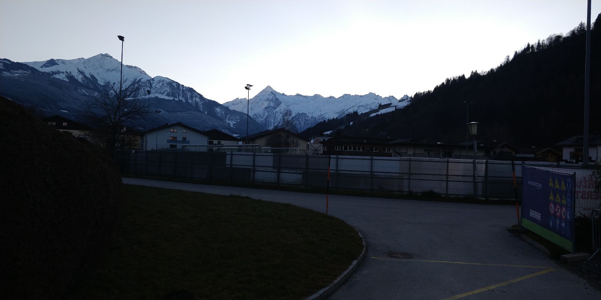


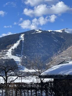
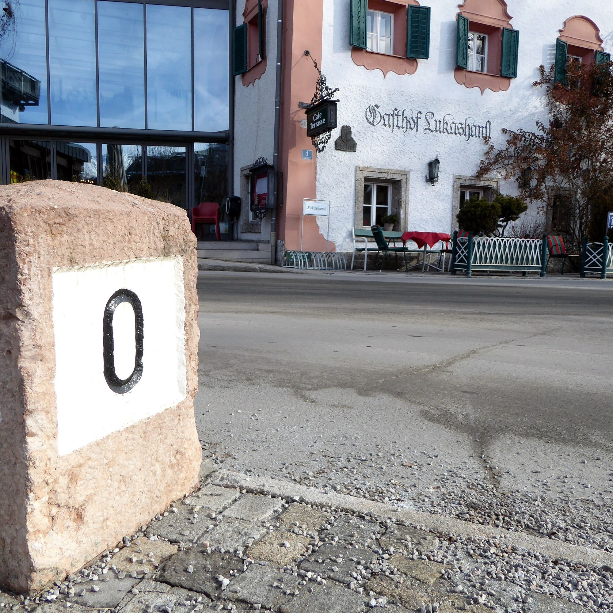
With the opening of the prestigious Großglockner High Alpine Road in August 1935, the place Bruck in Pinzgau changed its name to Bruck an der Glocknerstraße. On the left bank of the eponymous Salzach bridge,...
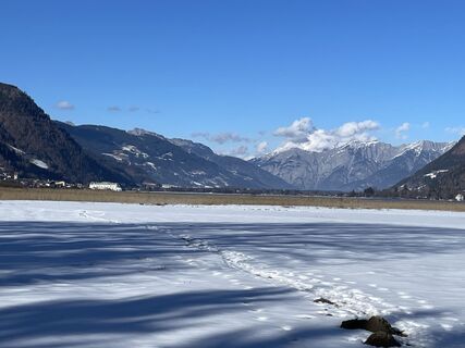
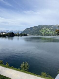
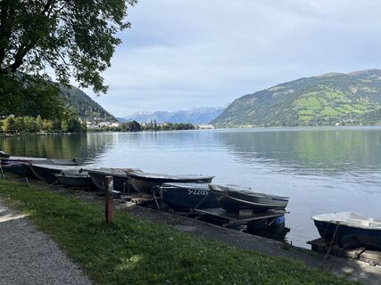
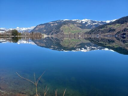
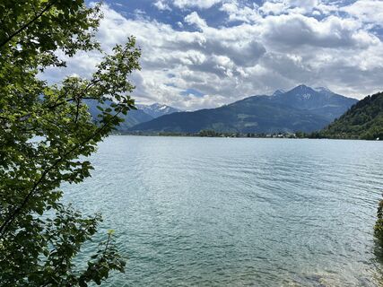
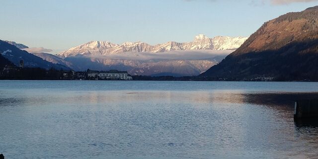
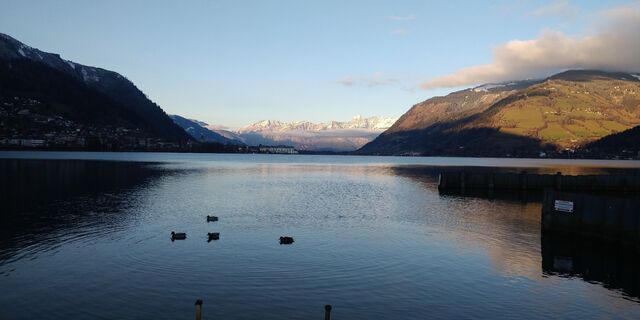
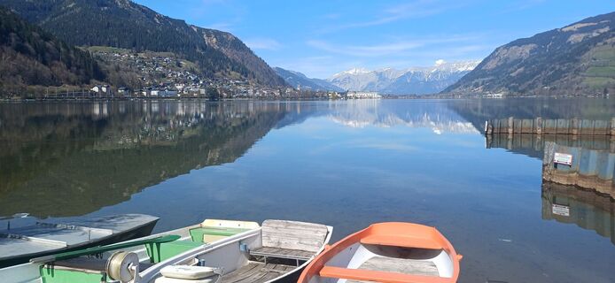
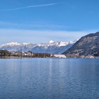
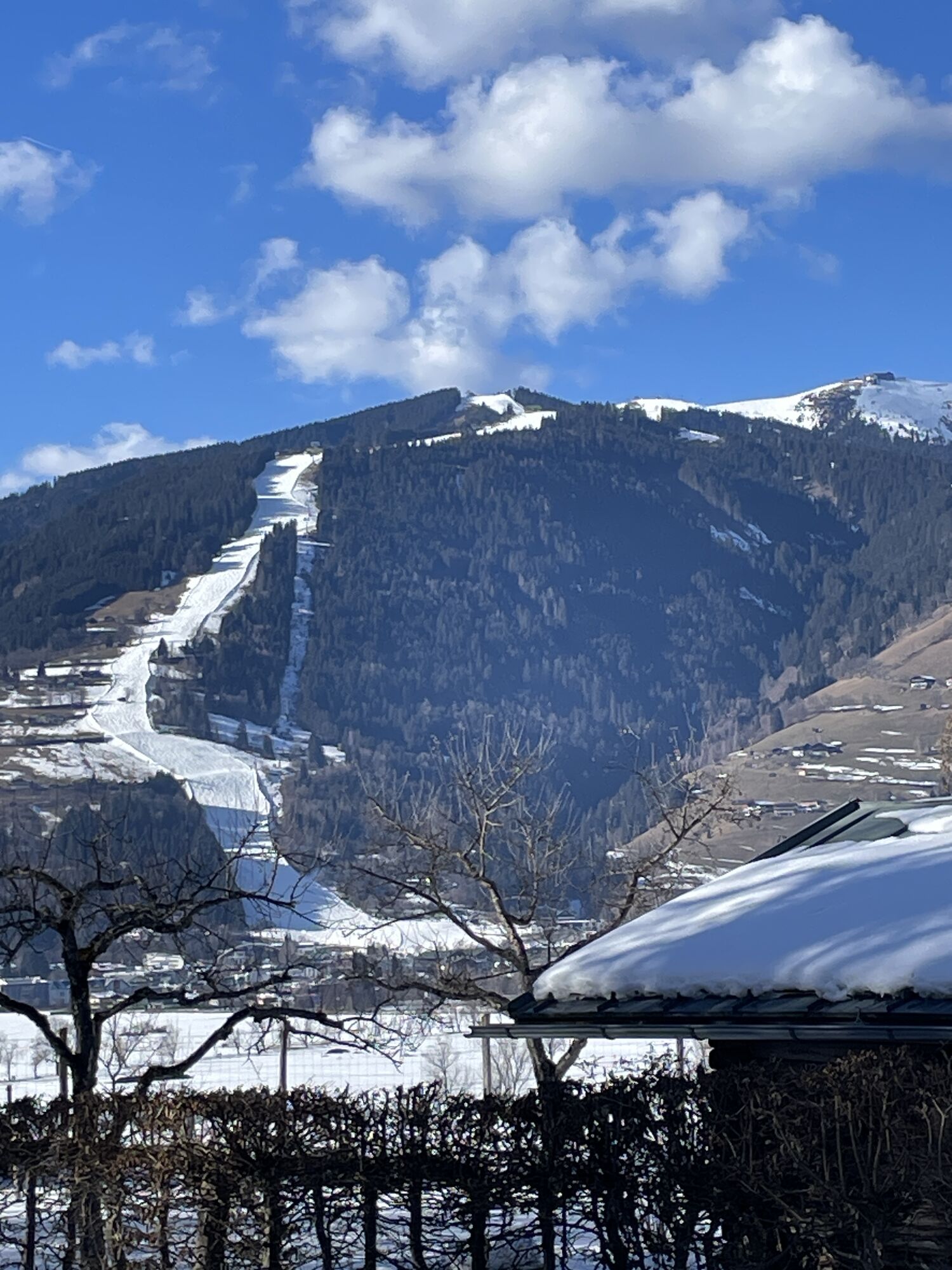
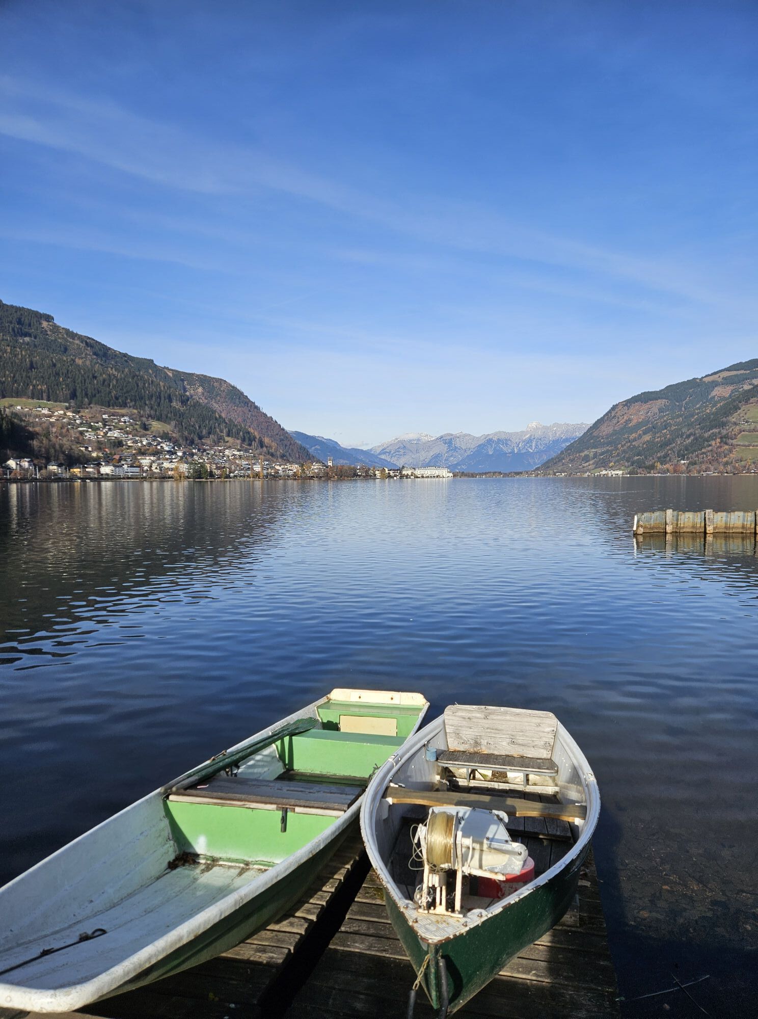
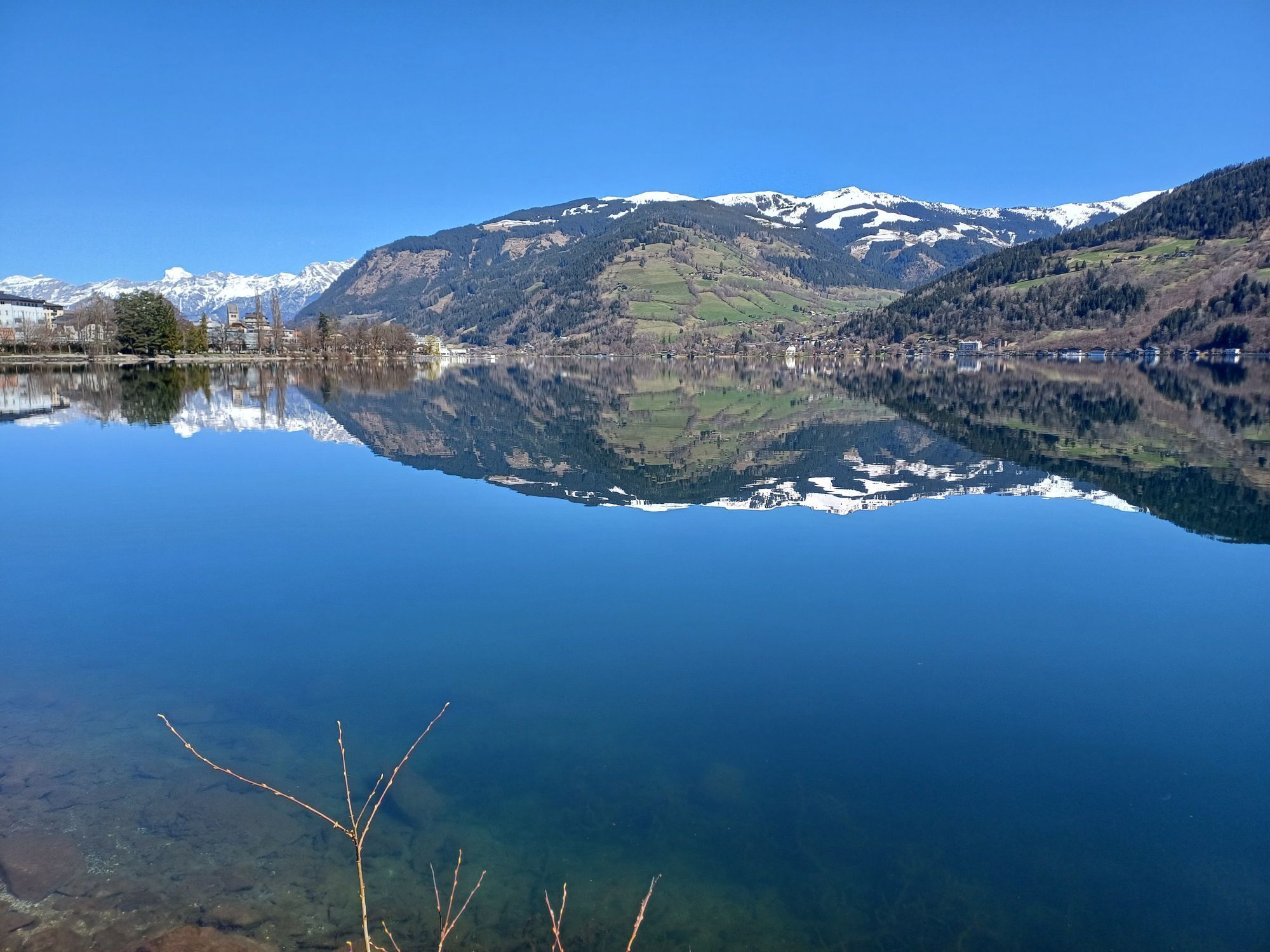
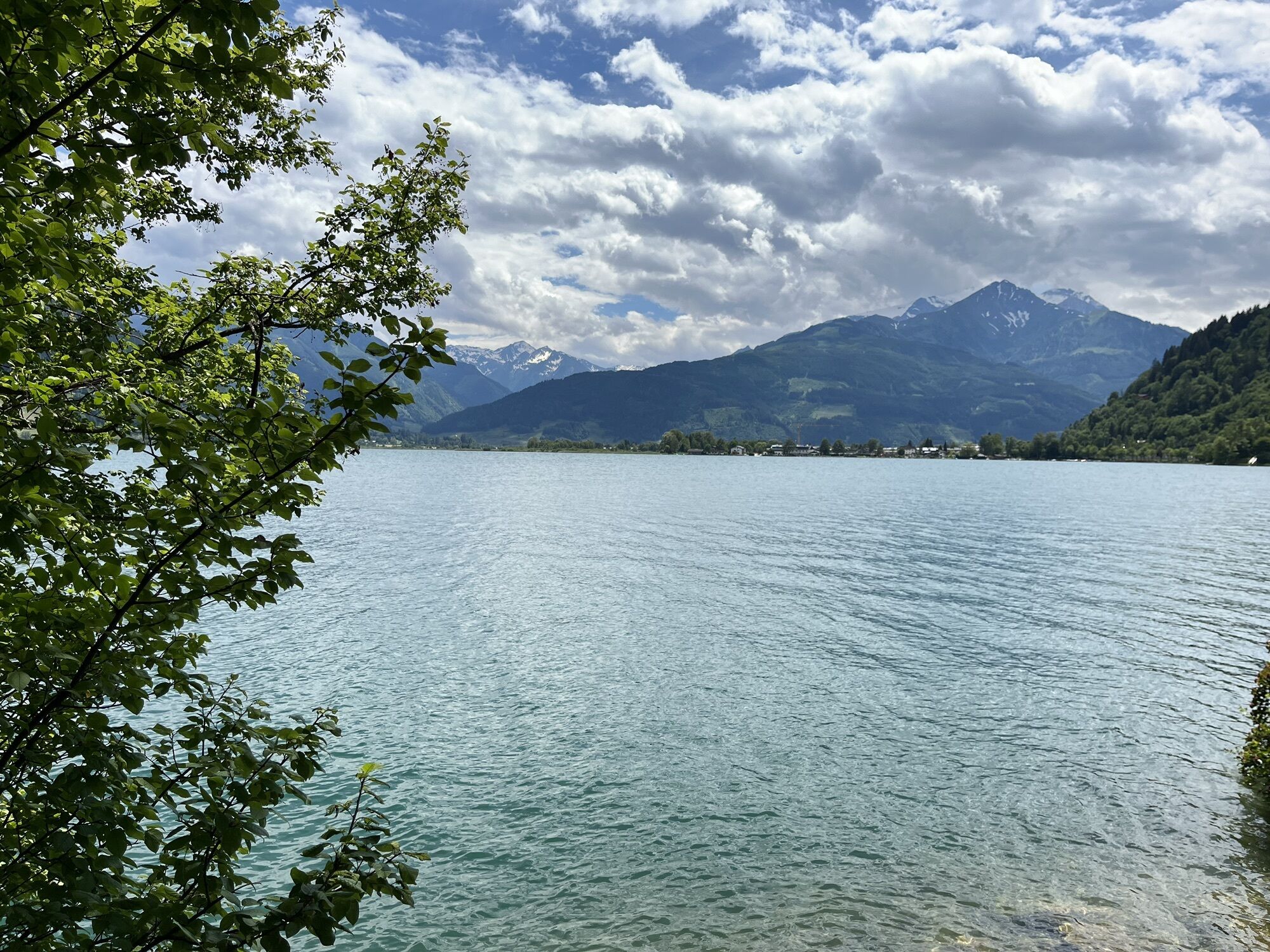
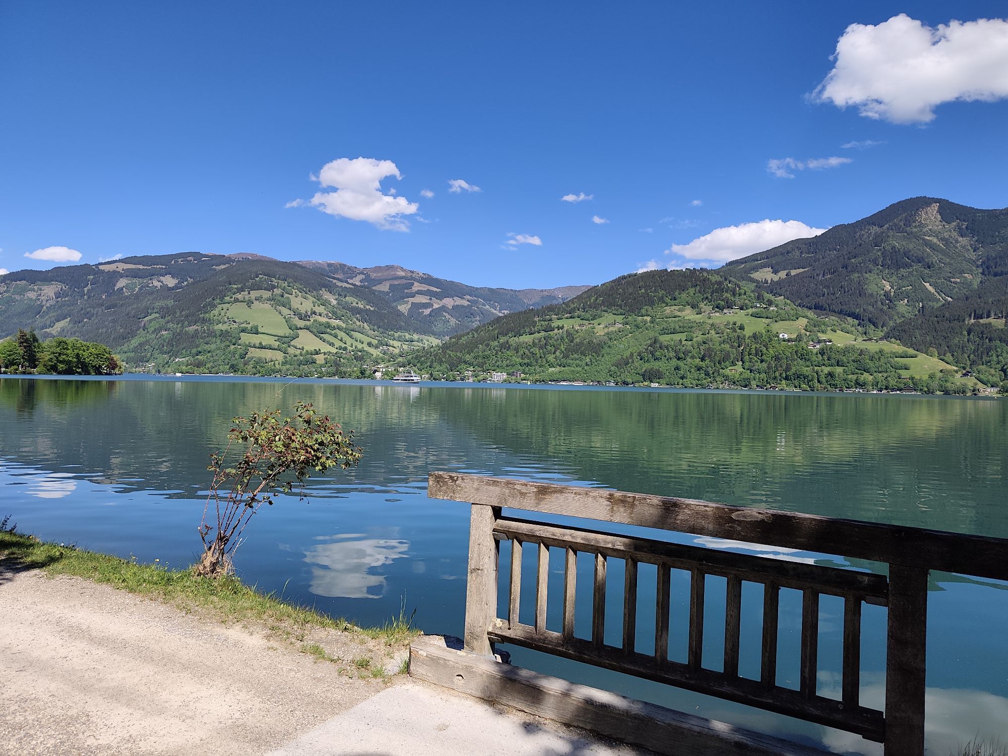
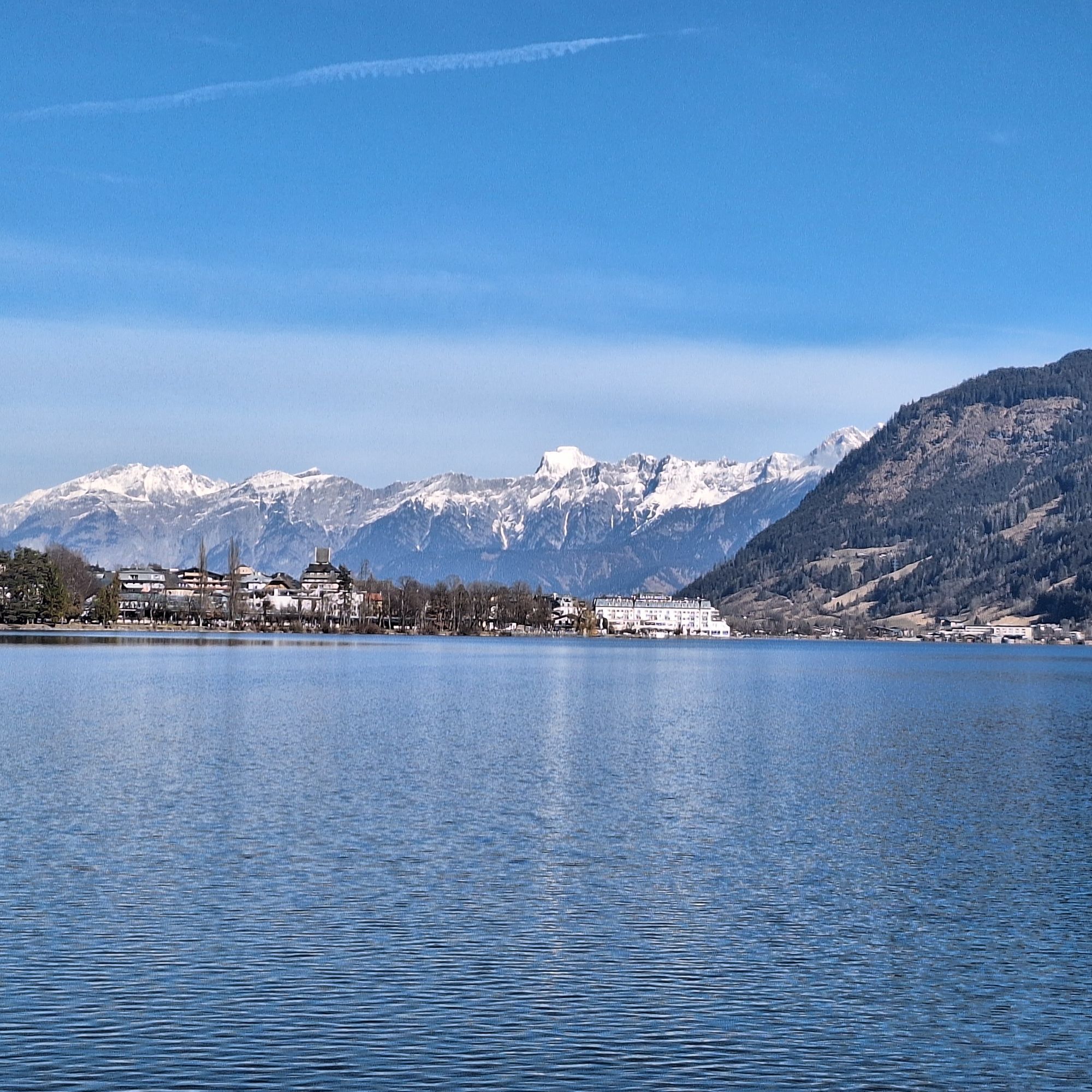
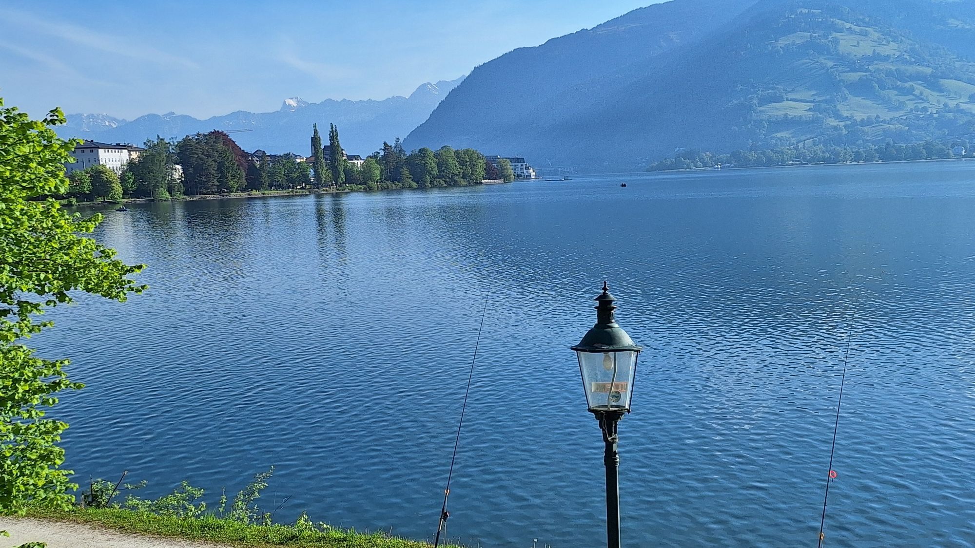
With the opening of the prestigious Großglockner High Alpine Road in August 1935, the place Bruck in Pinzgau changed its name to Bruck an der Glocknerstraße. On the left bank of the eponymous Salzach bridge, opposite the traditional inn „Lukashansl“, stands the kilometer stone „0“ of the 47.8 km-long Alpine road. Until the completion of the bypass in 1981, the entire excursion traffic actually flowed through the small town. Lukashansl had already benefited from the passing traffic centuries earlier, as it was also the postcoach station. With the opening of the Gisela Railway in 1875, today’s Westbahn, the cards were reshuffled. Zell am See quickly became the easily accessible tourist center of the region. The hike from Bruck to Zell am See makes use of old and new traffic routes: after arriving on the Westbahn, a tiny piece of Glocknerstraße follows, the wonderful Knappenbühelweg, the Thomas-Bernhard-Weg through the lowlands of the Zell wet meadows and the lakeside promenade up to Zell am See station. Variety is guaranteed.

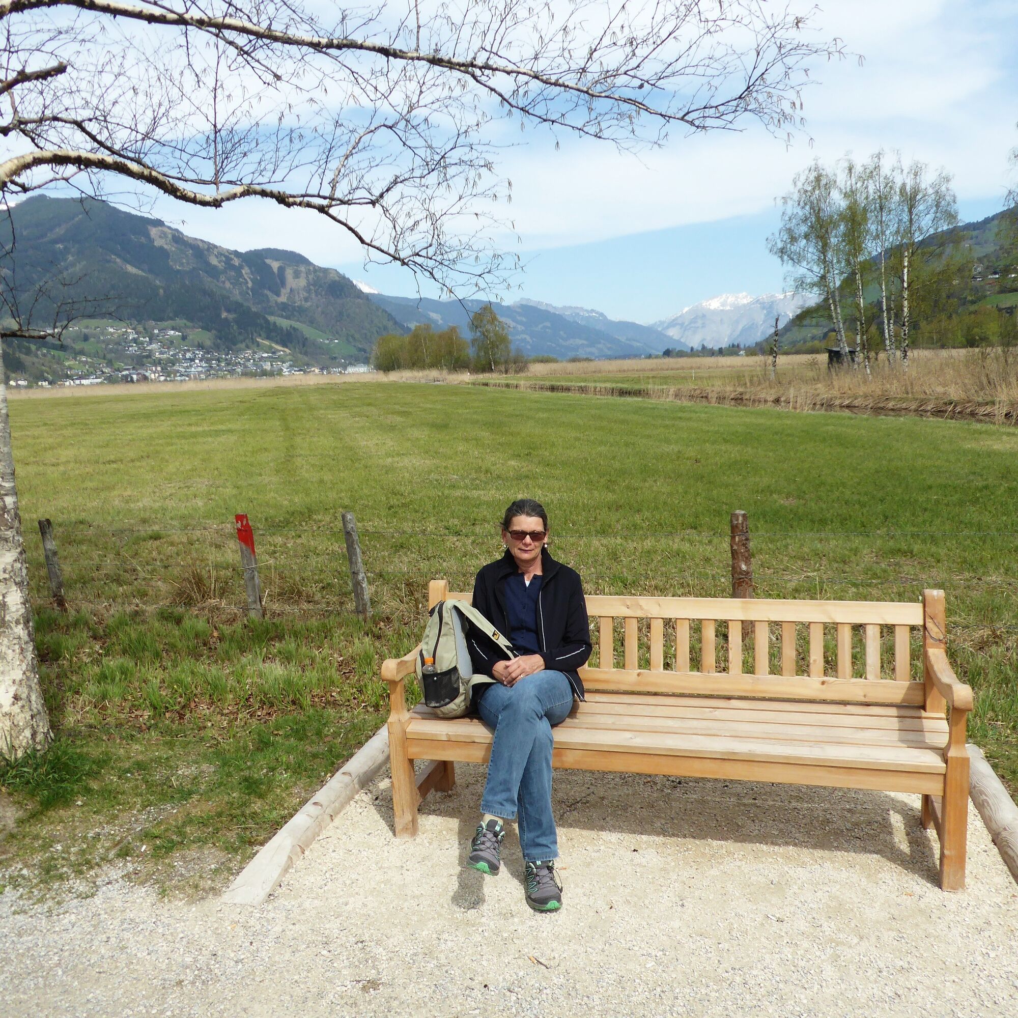
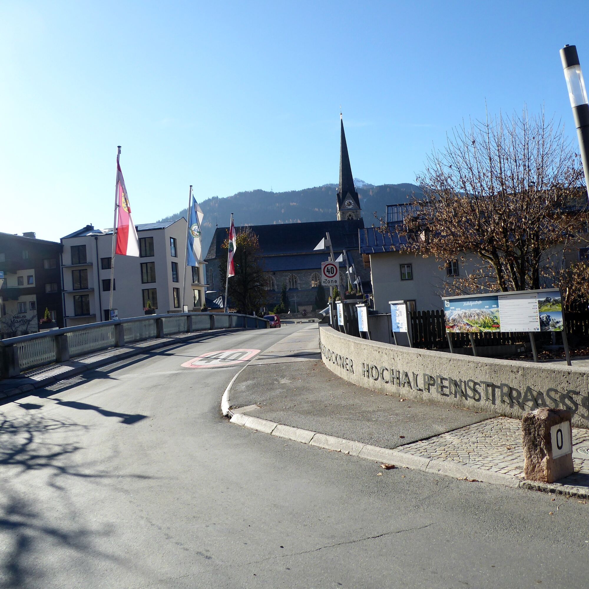
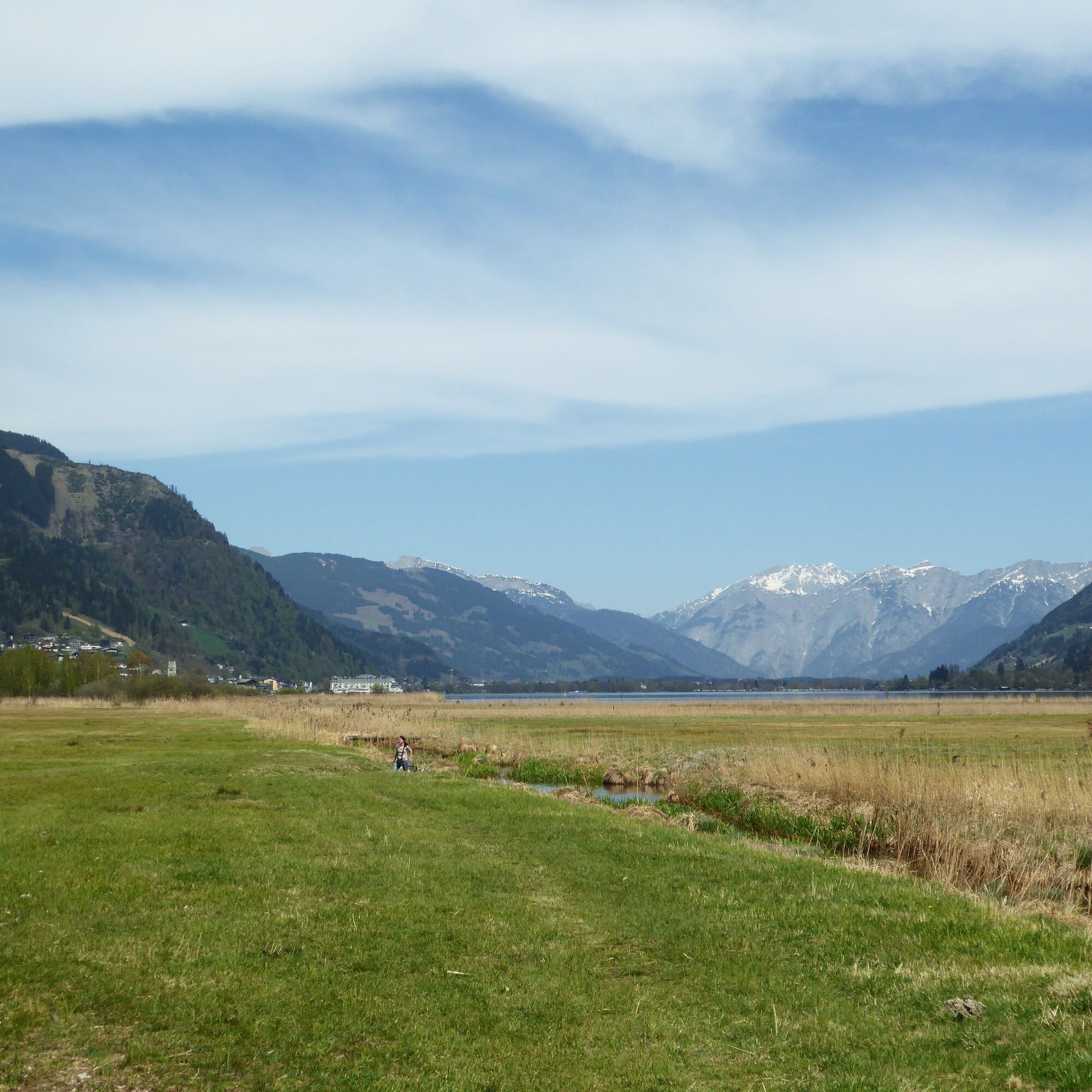
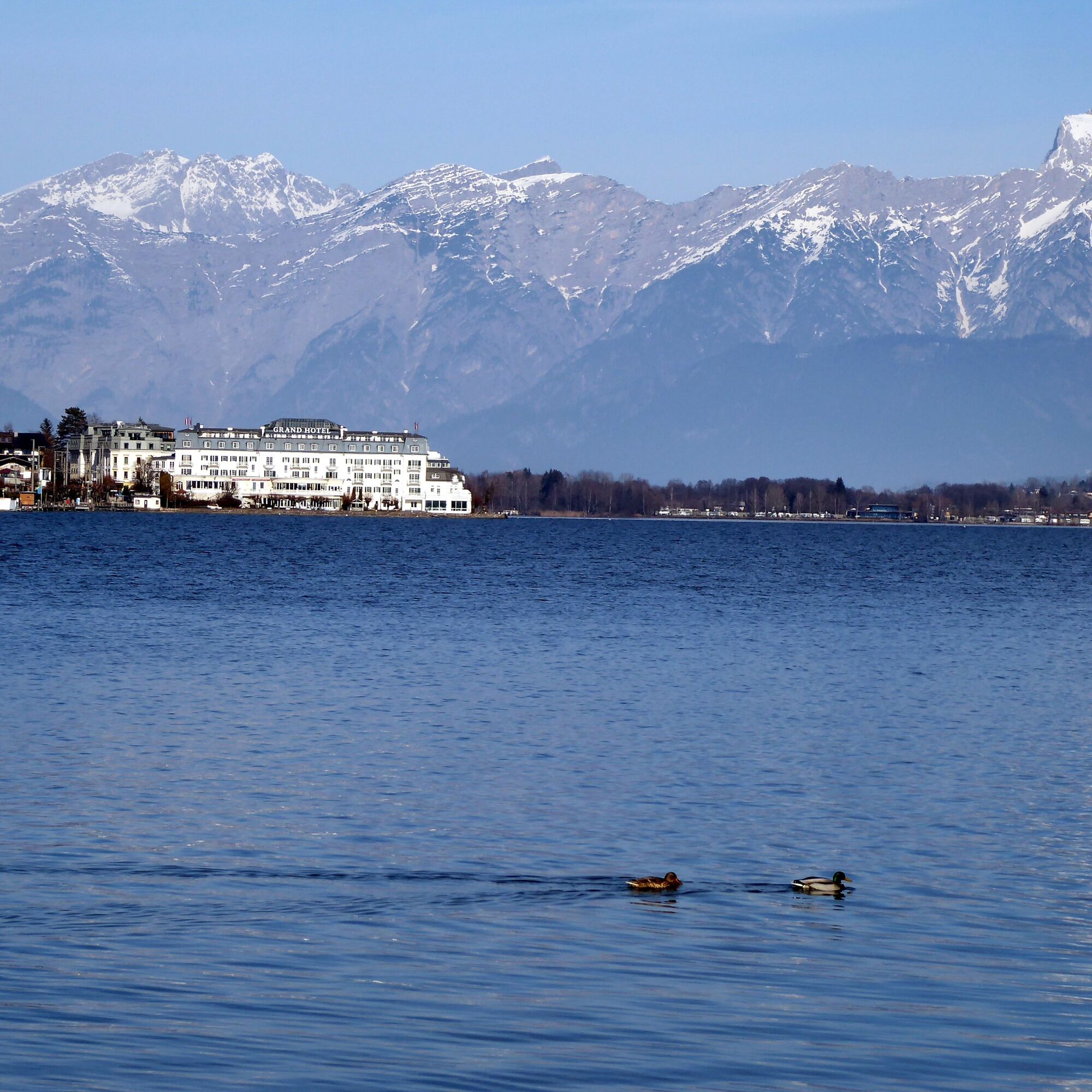
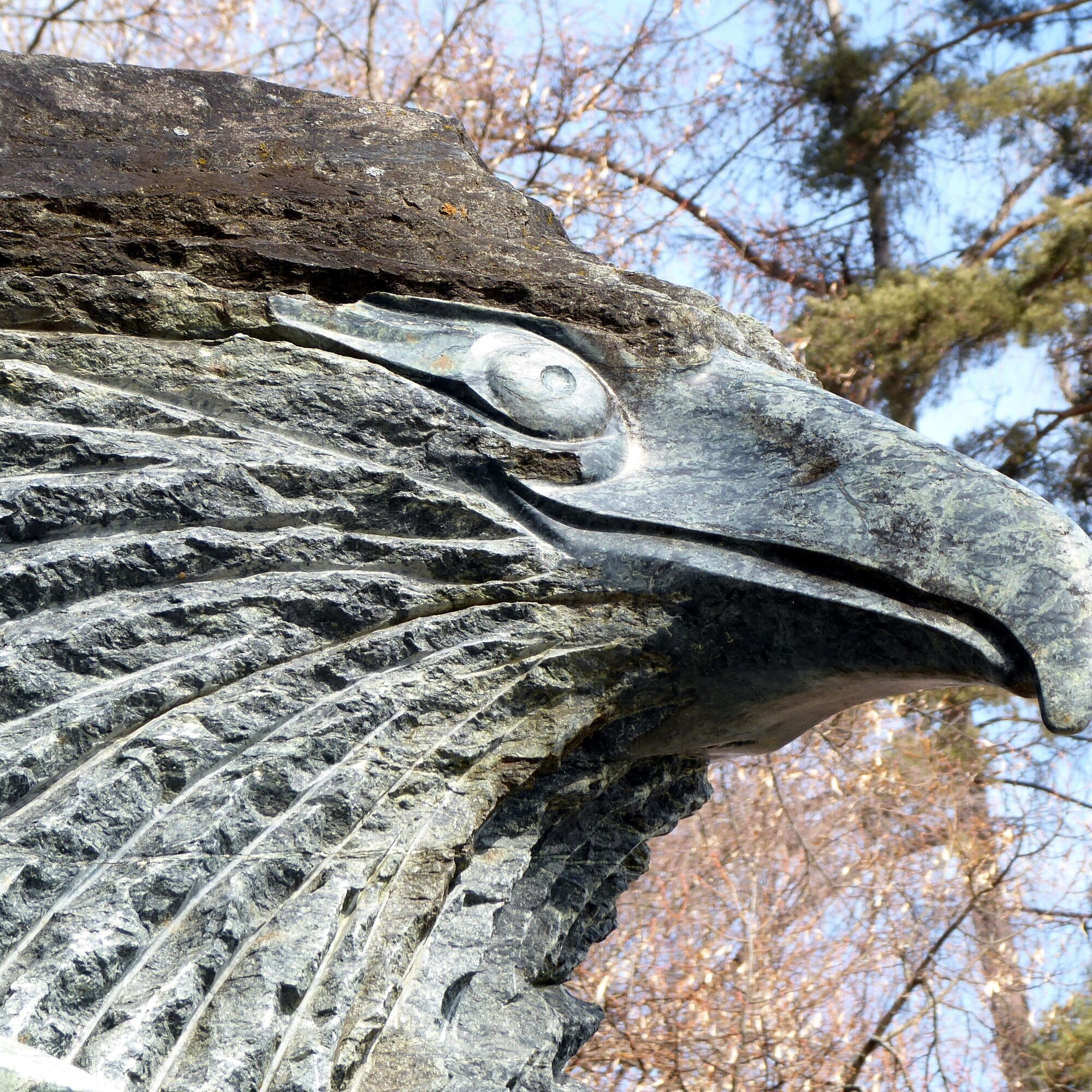
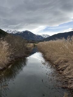
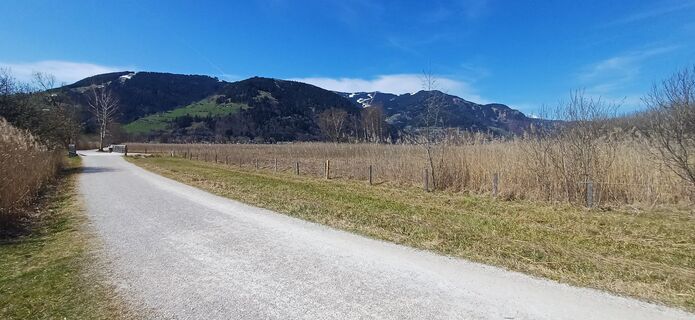
From the historic station building in Bruck, the route leads along Bahnhofsstraße, turning right once, passing the Gothic church into the town center and crossing the „Glocknerbrücke“ over the Salzach. At the kilometer stone „0“ the route runs to the left and 100 m later, shortly ascending slightly, to the right (path 1, WiesenKönigReich). Fischhorn Castle appears far away, but path 1 meets the country road and follows this on the right side for 1.3 km until the turn-off to the Thomas-Bernhard-Weg („Lake circuit route“) to the left. The adjoining wetland area called „WiesenKönigReich“ is a valuable, 220 ha large natural area for amphibians, ground-nesting birds and migratory birds. More than 160 bird species have already been sighted. The district of Schüttdorf adjoins the nature reserve; the route now follows Karl-Vogt-Straße and turns right to the lakeshore. After 1.2 km, Hans Weyringer’s animal figures made of green serpentine enchant, as well as the direct access to Zell am See station branching off here.
Áno
By REX or S 3 to Bruck/Glocknerstraße – Fusch station. Return from Zell am See station.
Timetable information and download: online at www.salzburg-verkehr.at or on your smartphone via the free Salzburg Verkehr app for Android and iOS.
T1
www.bruck-fusch.at, www.zellamsee-kaprun.com
Mag. Christian Heugl
5400 Hallein
christian.heugl@gmail.com
Photo credit: Christian Heugl
A quiz route supported by QR code shortens the way in perception and conveys knowledge about life in the „WiesenKönigReich“.
Obľúbené výlety v okolí
-
4,2
Schwalbenwand Nr. 80, 81, 82
strednáTuristika 13,0 km -
4,8
Sigmund Thun Klamm, Klammsee, Bürgkogel
svetloTuristika 4,56 km -
4,5
Sigmund Thun Klamm
svetloTuristika 3,10 km -
4,9
Hochsonnberg Runde
strednáMountainbike 59,8 km -
4,3
Family hike Prinzensee
svetloTuristika 4,13 km -
4,4
Thumersbach, Runde um den Zeller See
svetloTuristika 13,3 km -
4,7
Highlight Kitzlochklamm Classic round
strednáTuristika 2,02 km -
4,2
Hundstein-Runde von Maria Alm
ťažkéMountainbike 44,4 km -
3,8
Maurerkogel (Top)
Turistika 10,5 km -
5,0
Leo’s play hiking trail
svetloTematická trasa 4,89 km

Turistika a stopovanie


Nenechajte si ujsť ponuky a inšpiráciu na ďalšiu dovolenku
Vaša e-mailová adresa bol pridaný do poštového zoznamu.