


Radstadt - Bürgerbergalm - Rossbrand - Radstadt (461,462)
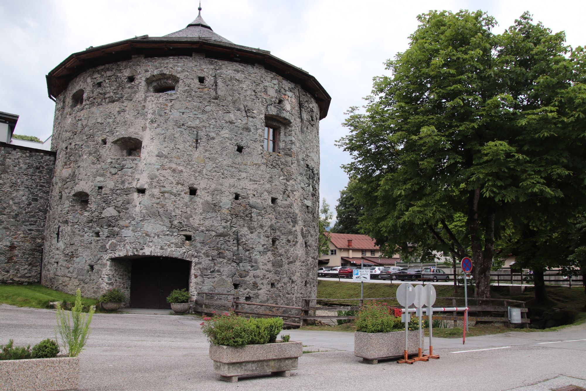
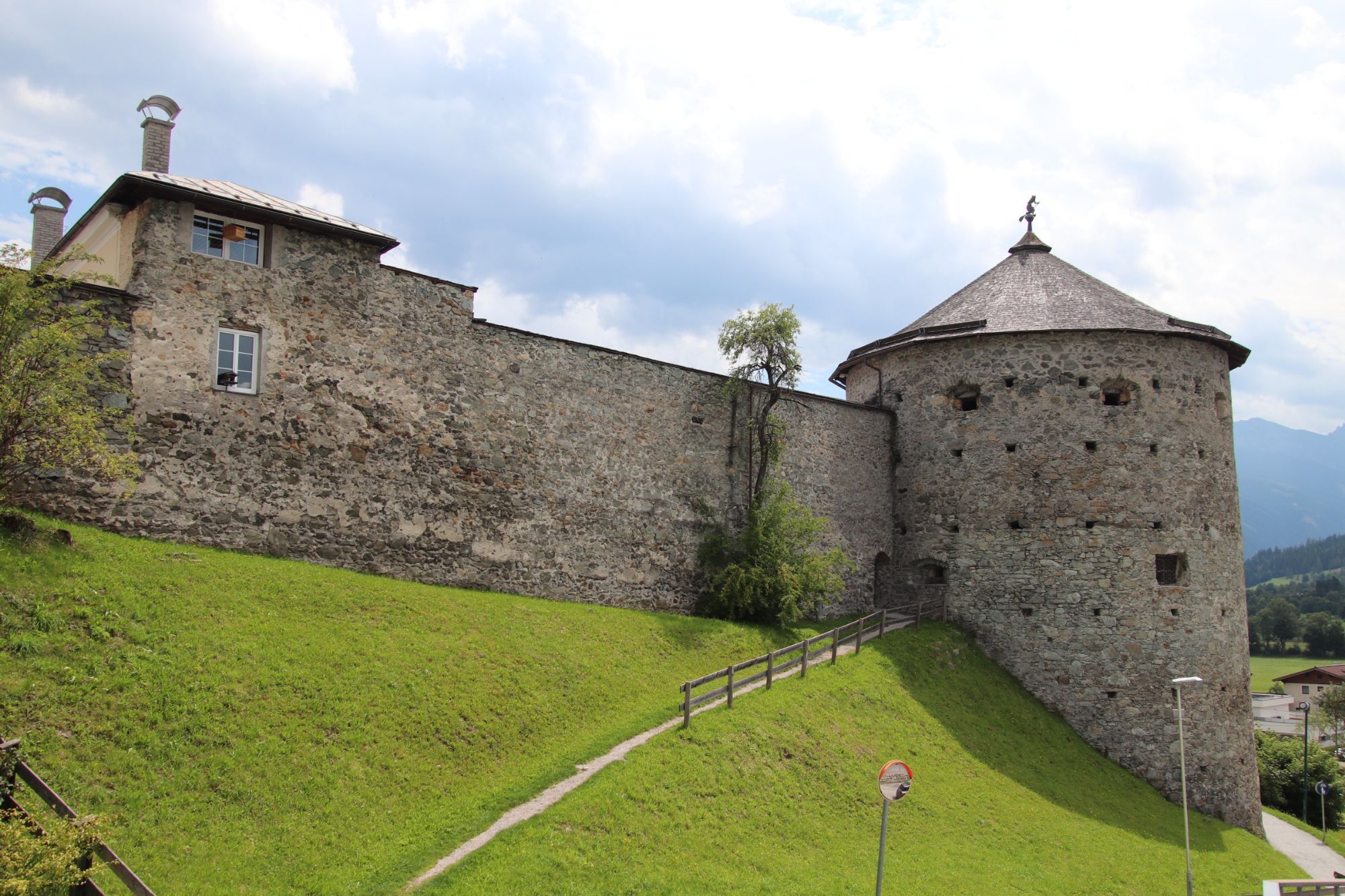
Fotografie našich používateľov
-

 © A H GerhardterVytvorené dňa 10.05.2026
 -
 © A H GerhardterVytvorené dňa 10.05.2026
 -
 © A H GerhardterVytvorené dňa 10.05.2026
 -
 © Karin SvozilVytvorené dňa 09.02.2026
 -
 © Karin SvozilVytvorené dňa 09.02.2026
 -
 © Karin SvozilVytvorené dňa 09.02.2026
 -

 © Thomas PreuschlVytvorené dňa 16.01.2026
 -

 © Sigrid gomboczVytvorené dňa 25.12.2025
 -
 © Sigrid gomboczVytvorené dňa 25.12.2025
 -
 © Günter KleutschVytvorené dňa 21.07.2025
 -
 © Günter KleutschVytvorené dňa 21.07.2025
 -
 © Raimund SchulczVytvorené dňa 20.01.2025
 -
 © Julie FinchVytvorené dňa 07.09.2024


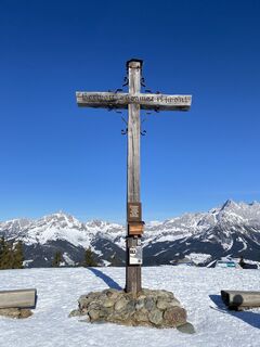
"Lord, home is beautiful!"
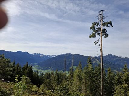
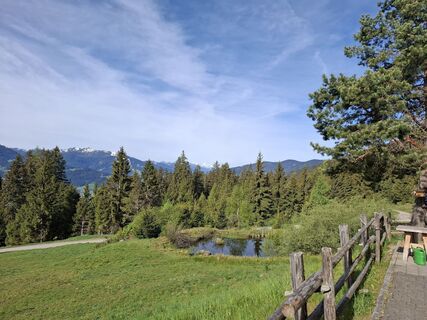
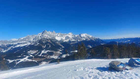
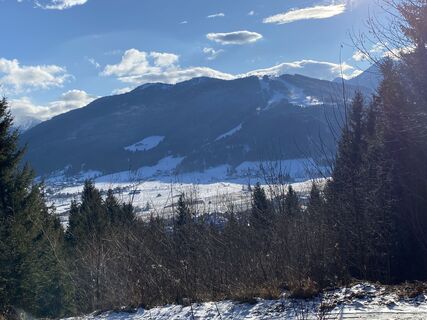
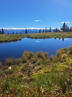
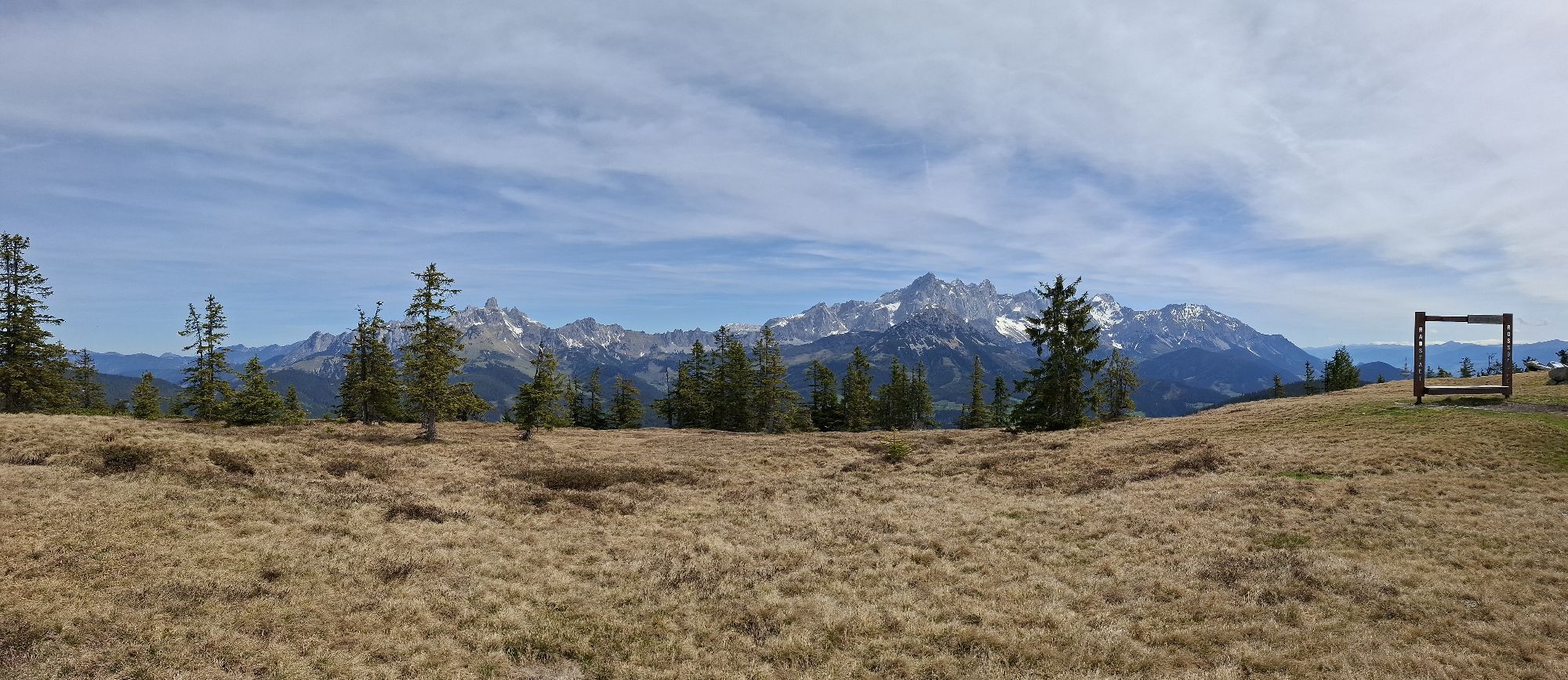
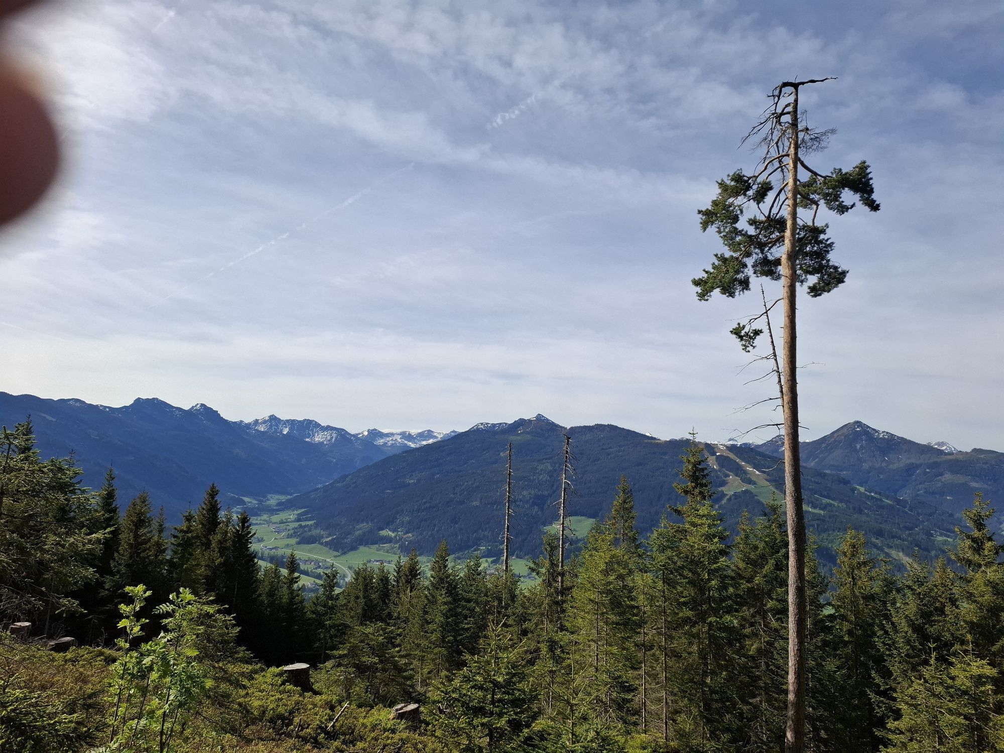
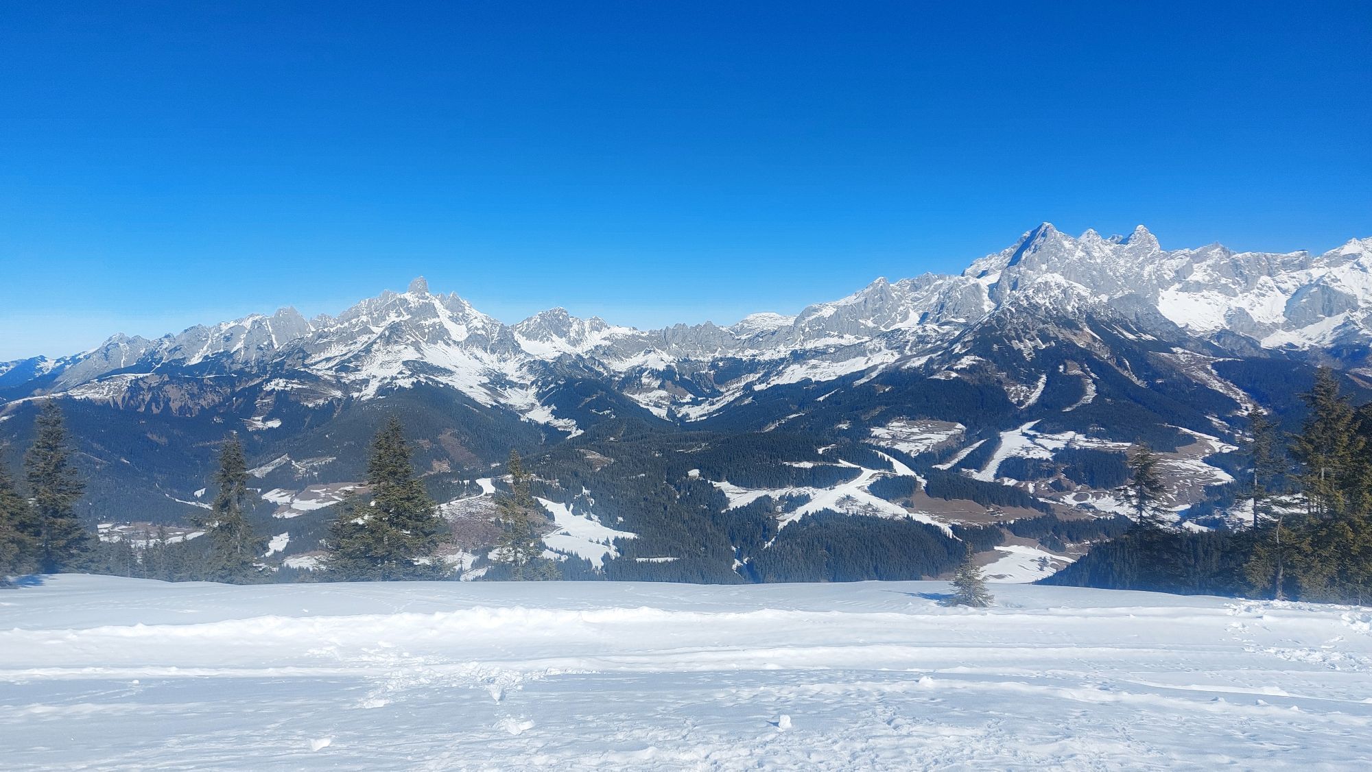
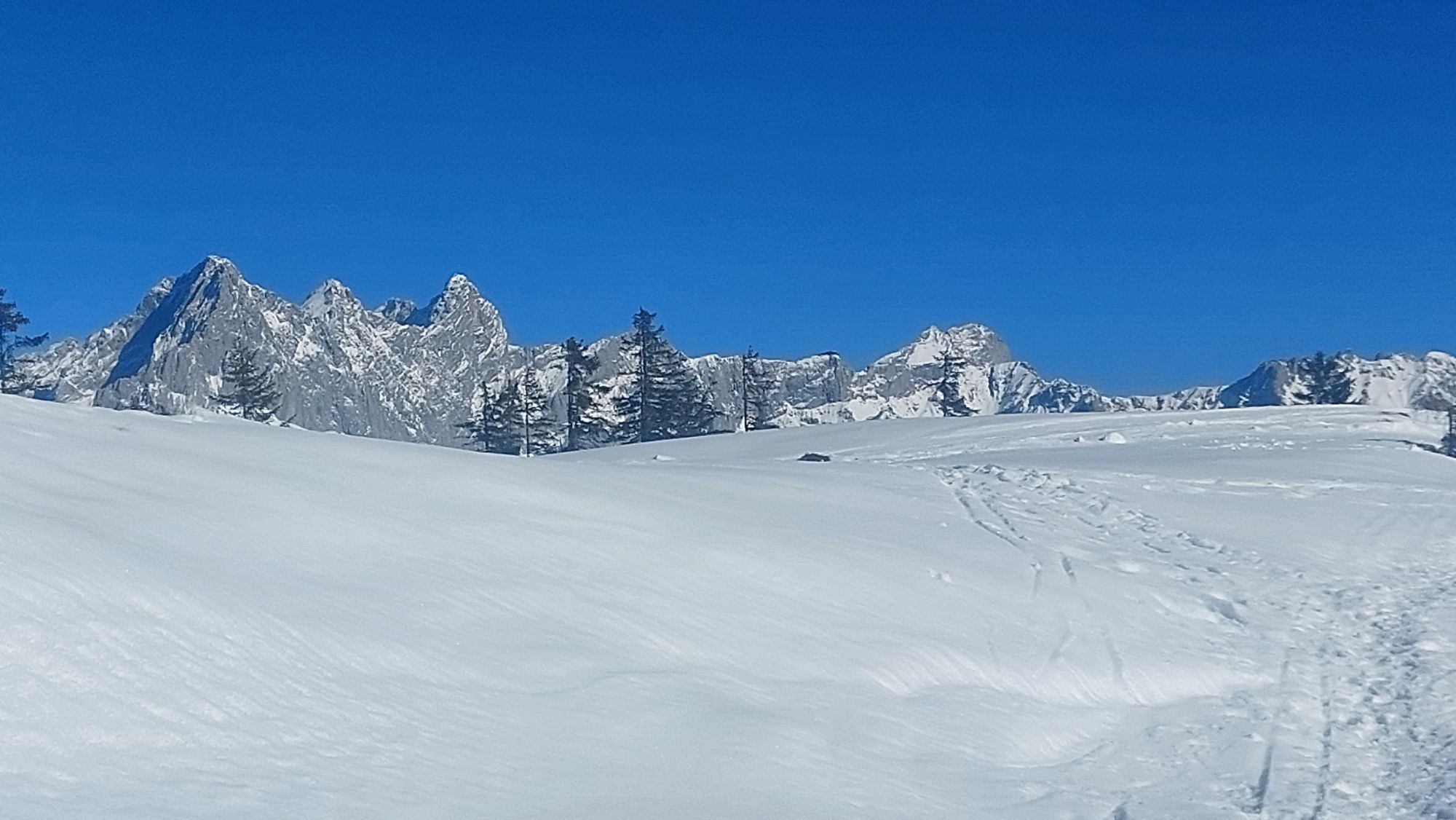
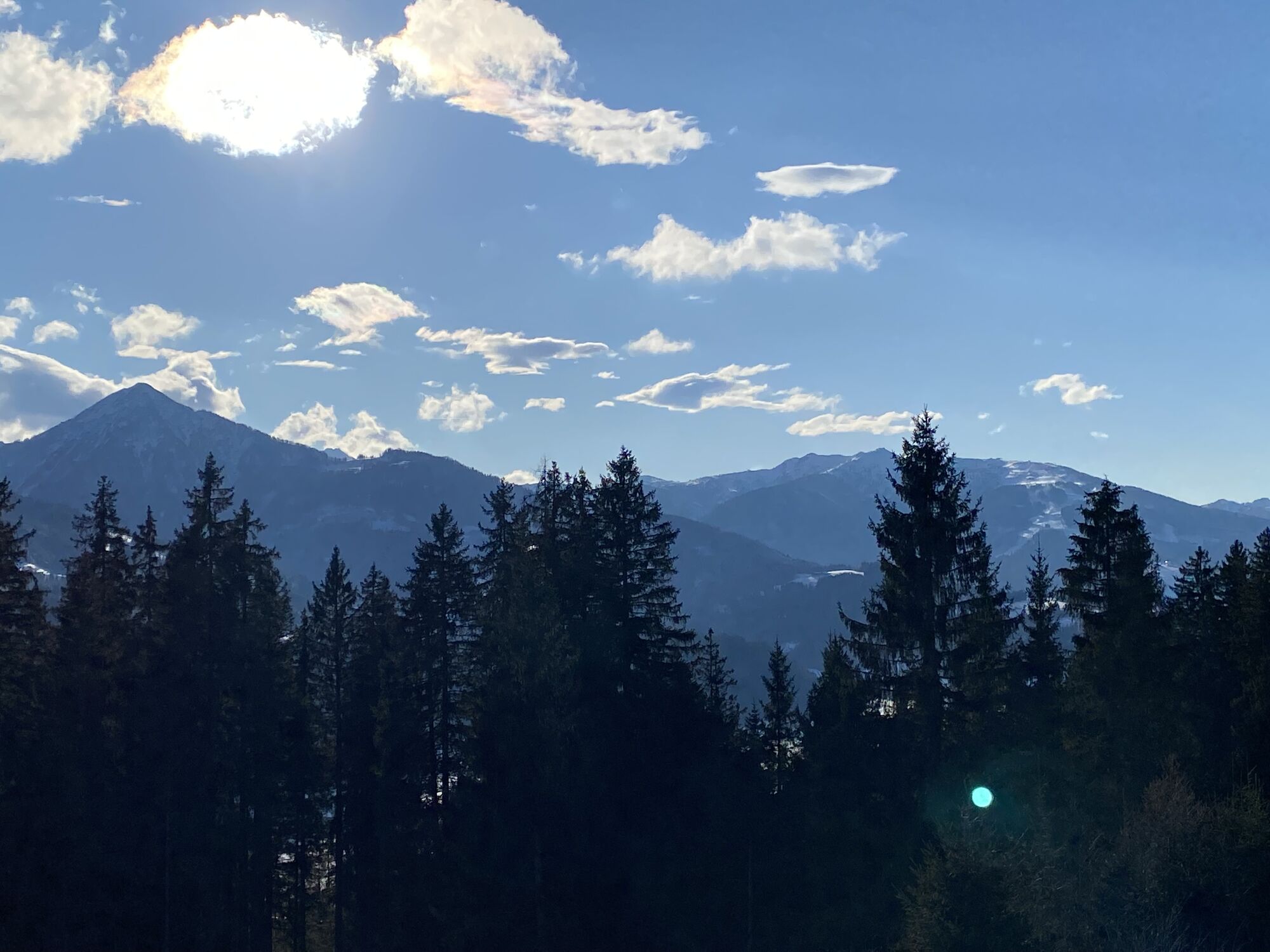
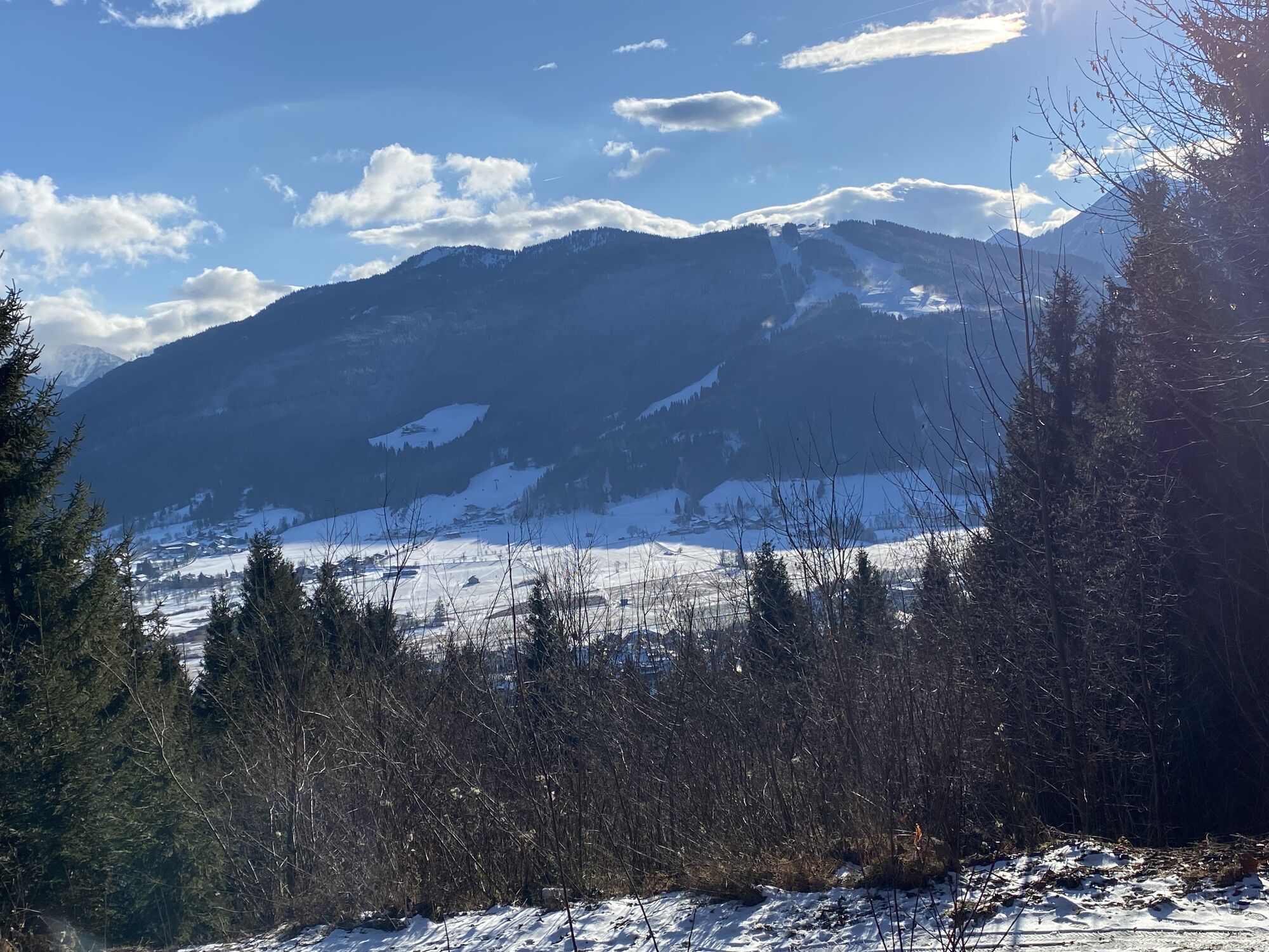
Anyone who wants to be rewarded at the end of a hike with a unique panorama is highly recommended to visit the Rossbrand (1,768 m) in Radstadt.

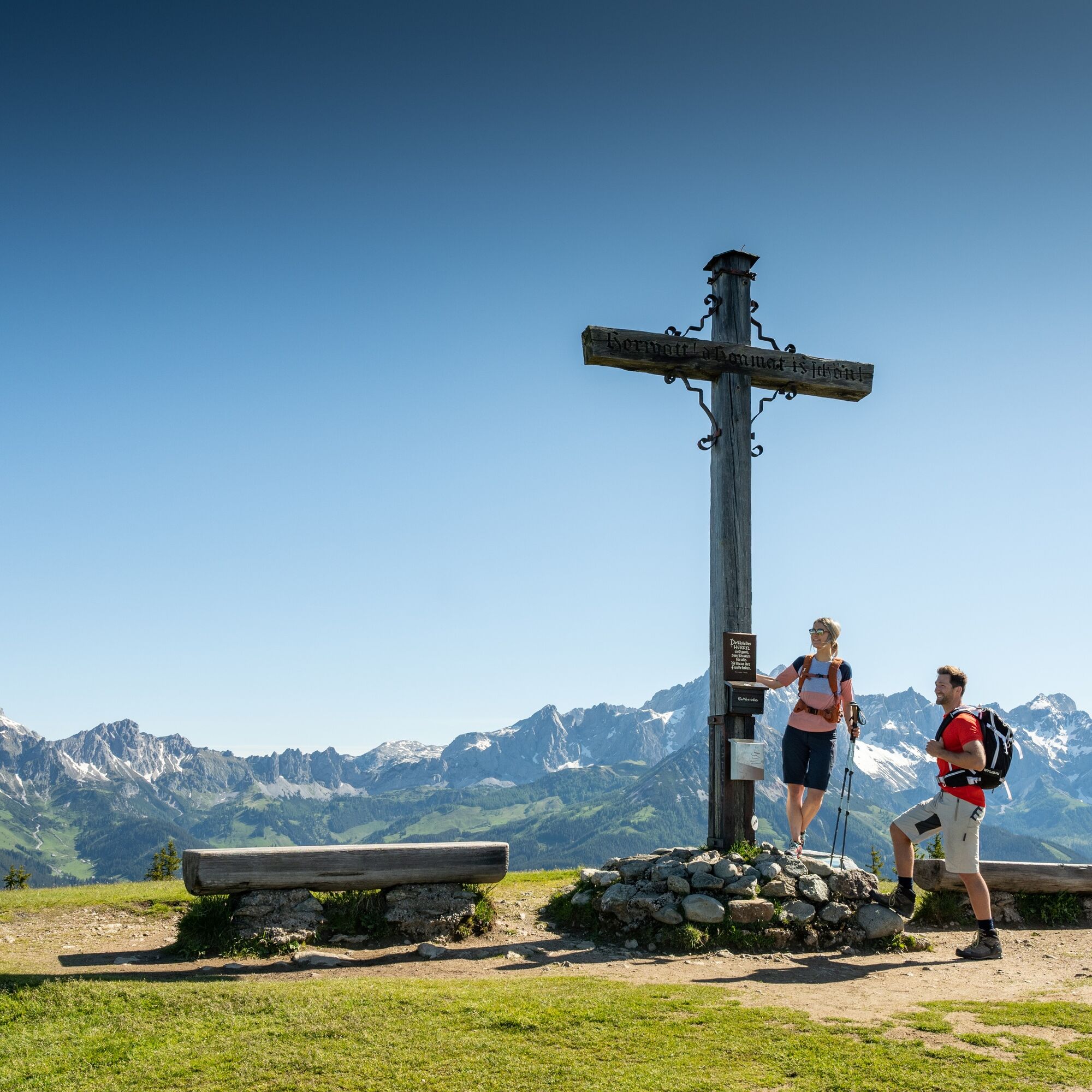
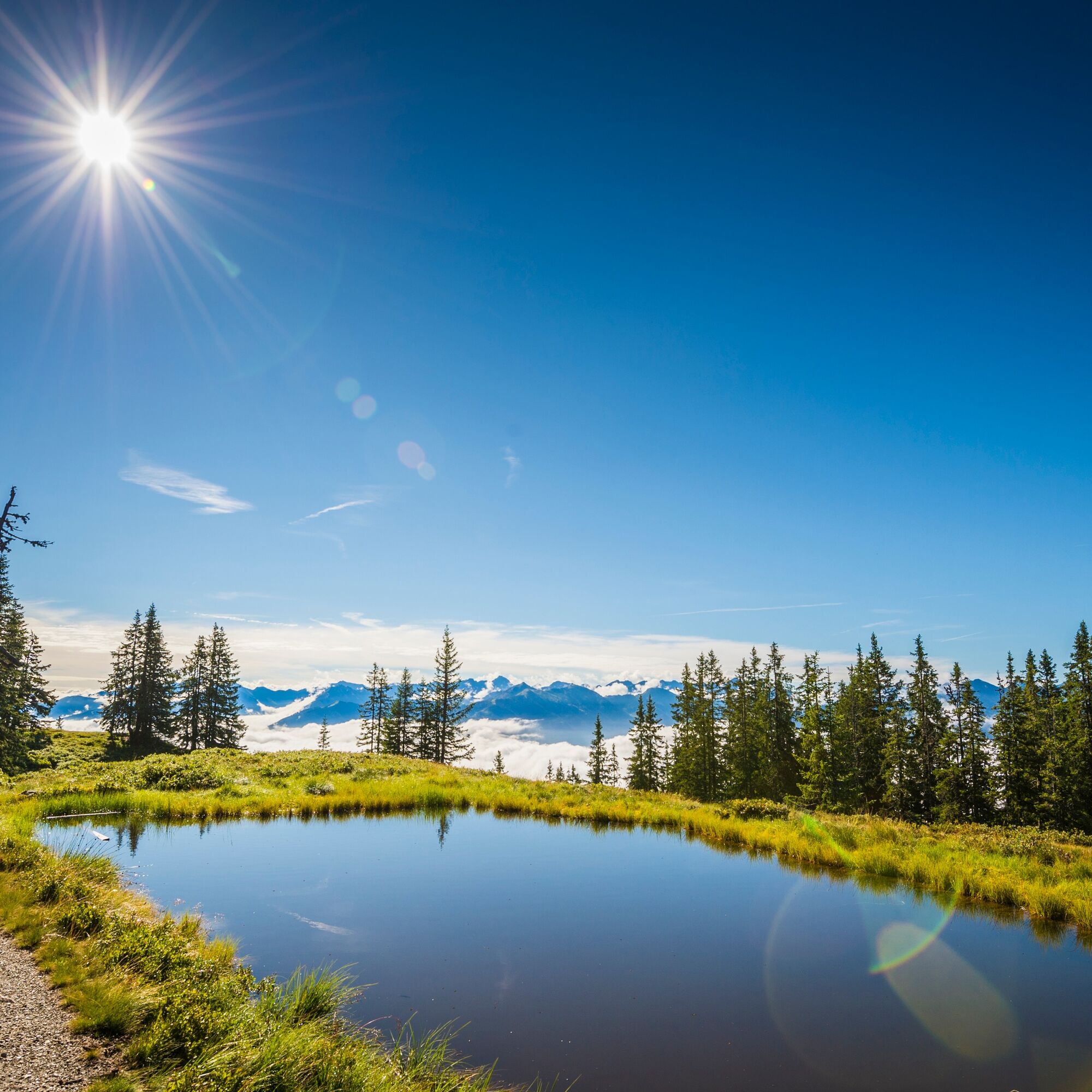
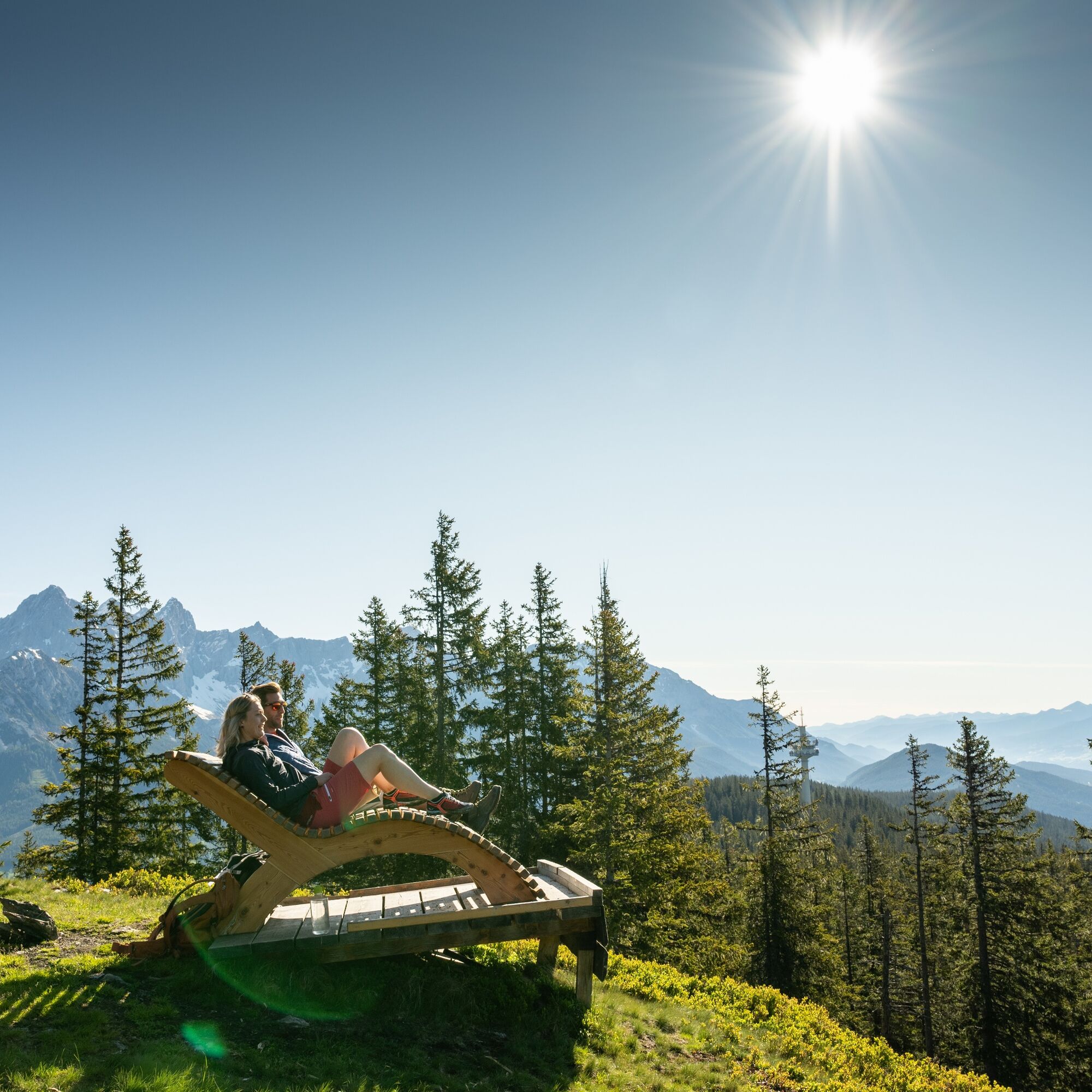
Start at the post office and continue along Loretostraße, then follow Bürgerbergstraße over 4 serpentine bends until you reach a fork in the road. There, a large gentian sign marks the entrance to hiking trail no. 462, where you enter the shady forest. After about an hour of hiking, the forest opens up and you will have reached the Bürgerbergalm. The hiking trail after the Bürgerbergalm is well marked and shaded by trees all the way to the summit of the Rossbrand, where the Radstadt hut invites you to rest. An breathtaking panorama finally awaits you from the Rossbrand summit, which inspired the creator of the large wooden cross to carve deeply into the crossbeams the words "Lord, home is beautiful!". To ensure everyone can enjoy this fantastic view, a toll-free road leads up to about 15 minutes' walk below the summit. Parallel to the ascent, for the descent you can take hiking trail no. 461 starting directly at the Radstadt hut, passing by the mountain inn Rohrmoos back to Radstadt. This path crosses or runs alongside the road to Rossbrand repeatedly.
Áno
At our Radstadt hiking test center, you can rent and test hiking boots, trekking poles, backpacks, and child carriers. The first day is free with the guest card.
In summer, our guests can use the Radstadt hiking bus. It takes you directly to the Rossbrand.
From there, it is only about a 15-minute walk to the summit.
There are two parking options right on the way from the post office to Bürgerbergstraße:
P1 (at the town pond) or P2 (Garde parking lot)
Other variations of this hiking route: descent to Filzmoos, Mandling, or Altenmarkt; return to Radstadt each time by bus
This hiking route is one of the most beautiful hiking routes around Radstadt!
Webové kamery z prehliadky
Obľúbené výlety v okolí
-
4,3
Filzmoos: Rötelstein (Rettenstein)
Turistika 9,50 km -
4,8
4-Jahreszeiten Wanderweg
strednáZimná turistika 5,94 km -
4,7
Tour around the Gosaukamm
strednáTuristika 20,9 km -
4,7
Tour around the Lake Gosau
svetloTuristika 4,43 km -
4,7
Tor-Wanderung
ťažkéTuristika 14,2 km -
4,6
Ski route Lackenkogel
strednáSkitour 7,82 km -
4,5
Adamekhütte vom Vorderen Gosausee
strednáTuristika 23,2 km -
4,4
Ramsau am Dachstein: Steinerne Jungfrauen
Turistika 8,11 km -
4,7
Bachlalm-Murmeltiere Rundwanderweg
svetloTuristika 10,2 km -
4,6
Donnerkogel vom Gosausee mit Intersport Klettersteig C/D und Himmelsleiter
ťažkéVia ferrata 7,70 km

Turistika a stopovanie


Nenechajte si ujsť ponuky a inšpiráciu na ďalšiu dovolenku
Vaša e-mailová adresa bol pridaný do poštového zoznamu.