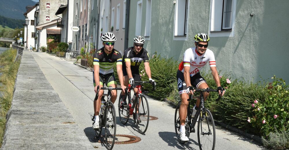
© Alpbachtal Tourismus - Gabriele Grießenböck
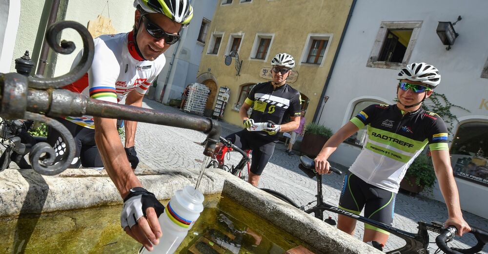
© Alpbachtal - Gabriele Grießenböck
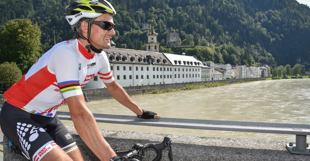
© Alpbachtal - Gabriele Grießenböck

- Stručný popis
-
An easy tour avoiding busy main roads, leading throught the villages to the right hand side of the Ziller Valley. Ideal route if you are new to cycling.
- Obtiažnosť
-
ľahká
- Hodnotenie
-
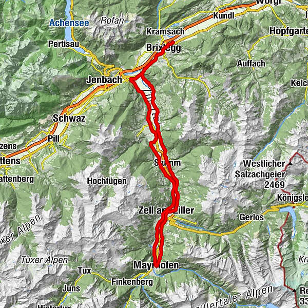
- Trasa
-
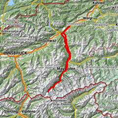
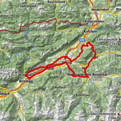
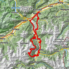
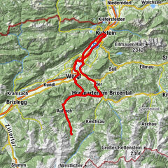
Rattenberg0,0 kmBrixlegg1,9 kmWeng (526 m)2,5 kmRestaurant Gut Matzen3,3 kmLichtwerth (529 m)3,8 kmFilialkirche St. Gertraudi4,7 kmSankt Gertraudi (527 m)4,8 kmLandhauskapelle6,5 kmPfarrkirche Bruck7,9 kmGasthof Dorfwirt7,9 kmBruck am Ziller (579 m)8,0 kmImming9,4 kmHelfenstein14,7 kmHaselbach15,7 kmFinsing16,0 kmStumm (556 m)20,3 kmHeiliger Rupert20,4 kmKapelle Neuhausweg21,7 kmGasthof Rissbacherhof21,9 kmWhite Horse23,4 kmAschau im Zillertal (567 m)23,8 kmIn Teufels Küche / Der Tuxa26,9 kmZapfenkapelle27,2 kmZell am Ziller (575 m)28,5 kmZellbergeben28,6 kmZell am Ziller (560 m)28,8 kmRamsau im Zillertal32,1 kmMaria sieben Schmerzen32,1 kmUnterbichl33,0 kmOberbichl33,7 kmEckartau34,1 kmHollenzen34,6 kmGH Bruggerstube34,7 kmLaubichl35,5 kmMayrhofen (633 m)36,2 kmBurgstall38,0 kmNeu-Burgstall38,5 kmMühlbach38,7 kmSidan38,8 kmStockach39,1 kmSchwendau39,6 kmHippach40,2 kmHeiliger Ingenuin und Albuin40,7 kmLaimach42,1 kmKirche Laimach42,2 kmZell am Ziller (575 m)44,3 kmZellbergeben44,4 kmGasthaus Weiherwirt47,6 kmKruma48,2 kmMaria zum Siege48,4 kmAschau im Zillertal (567 m)48,5 kmReisrach51,5 kmKaltenbach (558 m)52,2 kmRestaurant Liebstöckl52,3 kmMariä Heimsuchung52,3 kmWöscherkapelle52,8 kmRied im Zillertal53,3 kmHeiliger Johannes der Täufer53,4 kmPlunggenkapelle55,7 kmUderns56,6 kmHeiliger Briccius56,8 kmUderns im Zillertal (544 m)57,3 kmFinsing57,4 kmKapelle Kapfing58,0 kmKapfing58,3 kmFügen (545 m)59,7 kmPfarrkirche Fügen59,9 kmKapelle60,5 kmGagering62,2 kmSchlitters (548 m)63,6 kmGasthof Jäger63,6 kmStrass im Zillertal (525 m)66,3 kmStrass im Zillertal (523 m)66,8 kmPfarrkirche Strass66,8 kmPfarrkirche zum Heiligen Jakobus d. Ä66,8 kmFilialkirche St. Gertraudi69,3 kmSankt Gertraudi (527 m)69,5 kmLichtwerth (529 m)70,6 kmRestaurant Gut Matzen71,3 kmWeng (526 m)72,0 kmBrixlegg72,7 kmRattenberg74,7 km
- Najlepšia sezóna (ročné obdobie)
-
janfebmaraprmájjúnjúlaugsepoktnovdec
- Najvyšší bod
- 625 m
- Cieľová destinácia
-
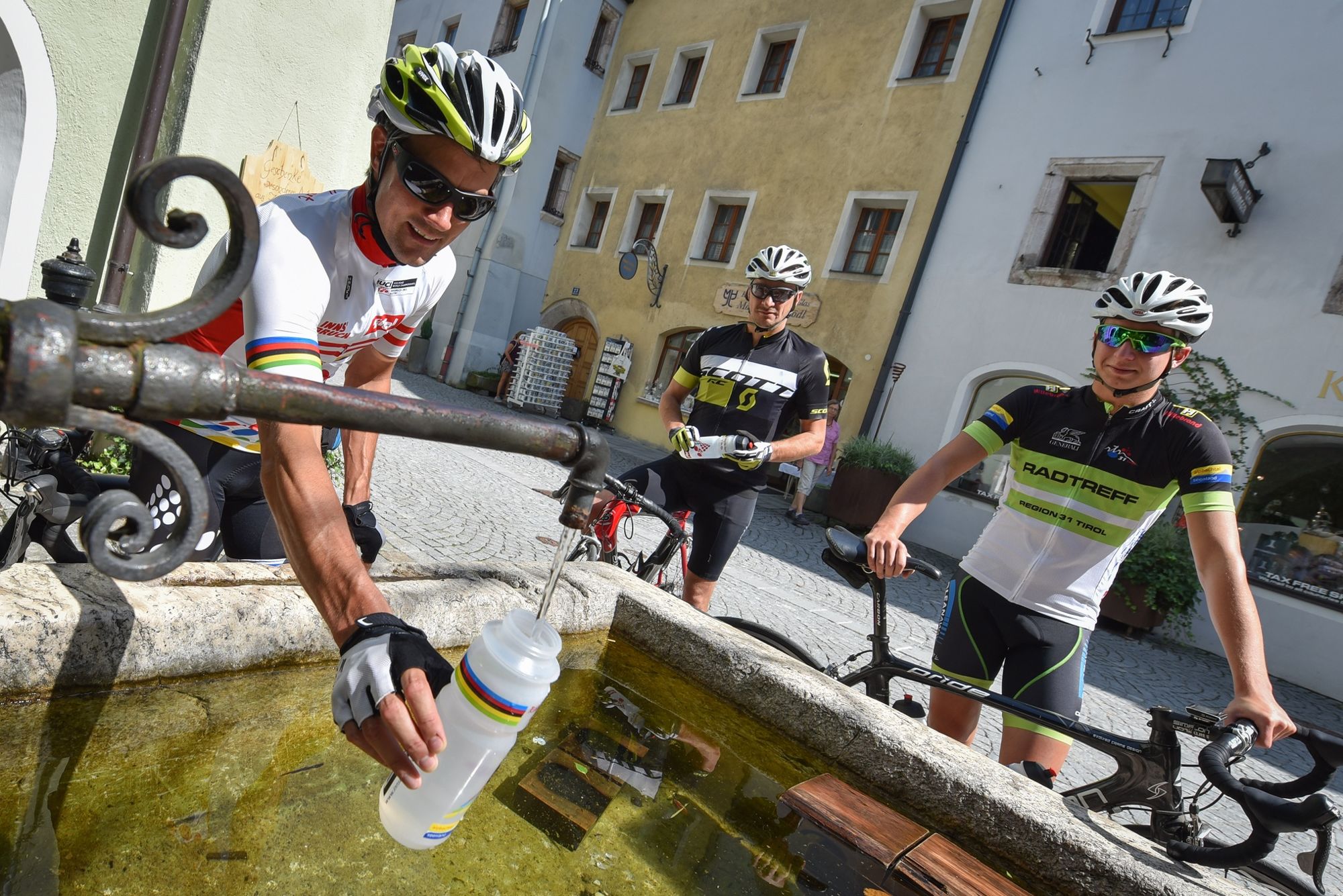
Rattenberg, town main square fountain
- Profil nadmorskej výšky
-


-

-
AutorPrehliadka Road bike 12 Zillertal Cappucino používa outdooractive.com na stránke ..
GPS Downloads


Všeobecné informácie
Zastávka s občerstvením
Ďalšie prehliadky v regiónoch