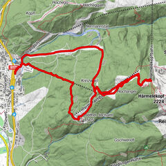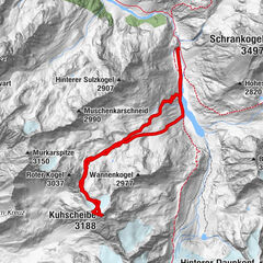


Údaje o túre
7,5km
1.374
- 2.054m
652hm
01:07h
- Stručný popis
-
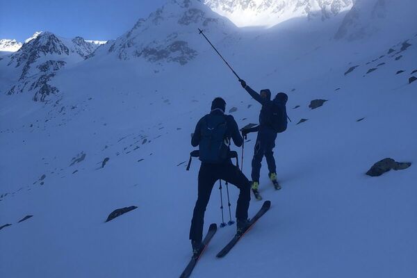
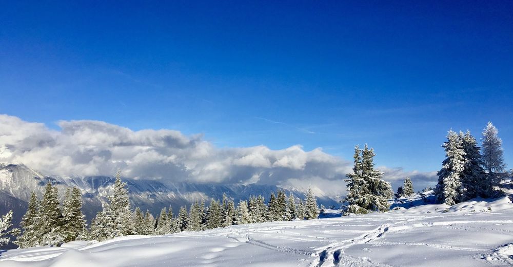
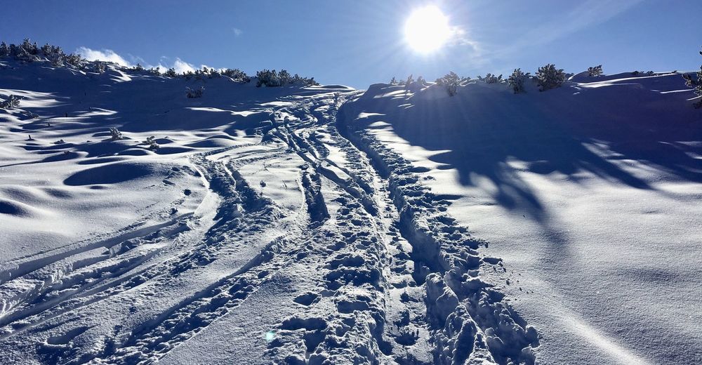
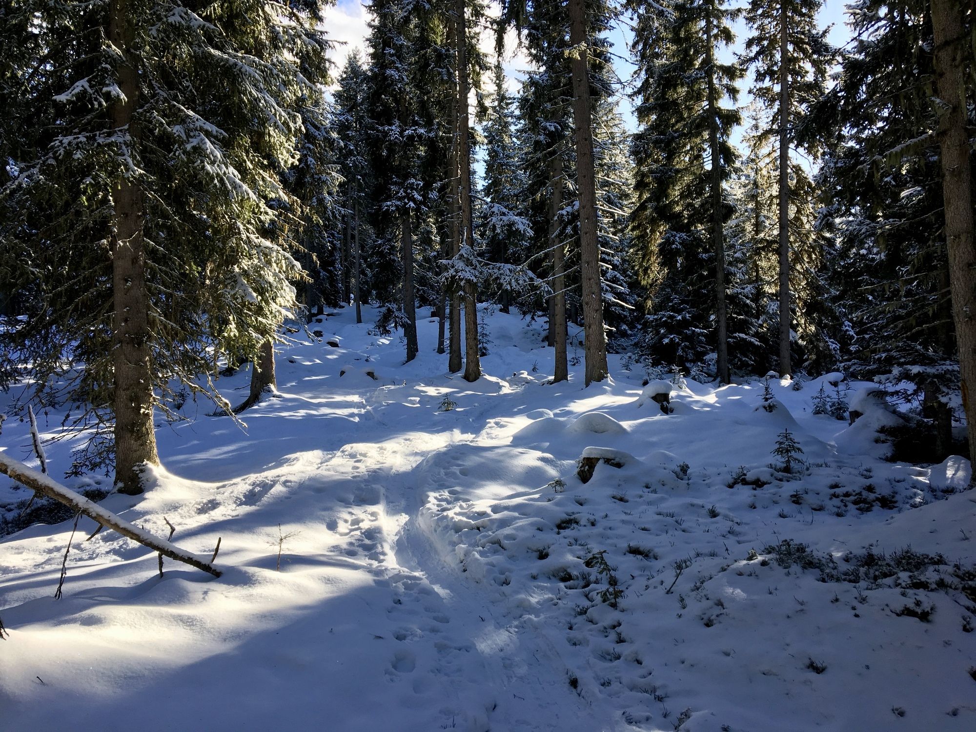
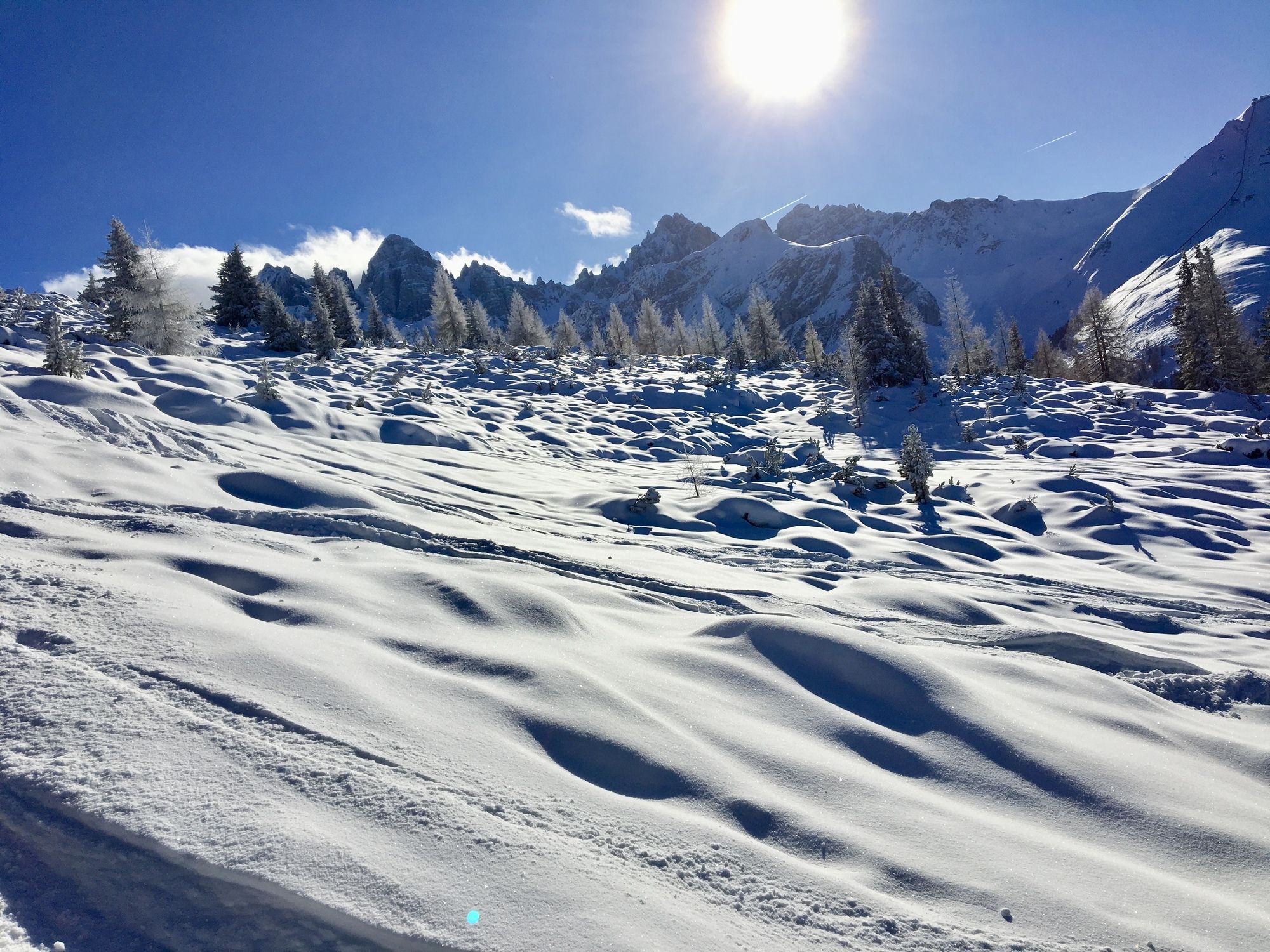
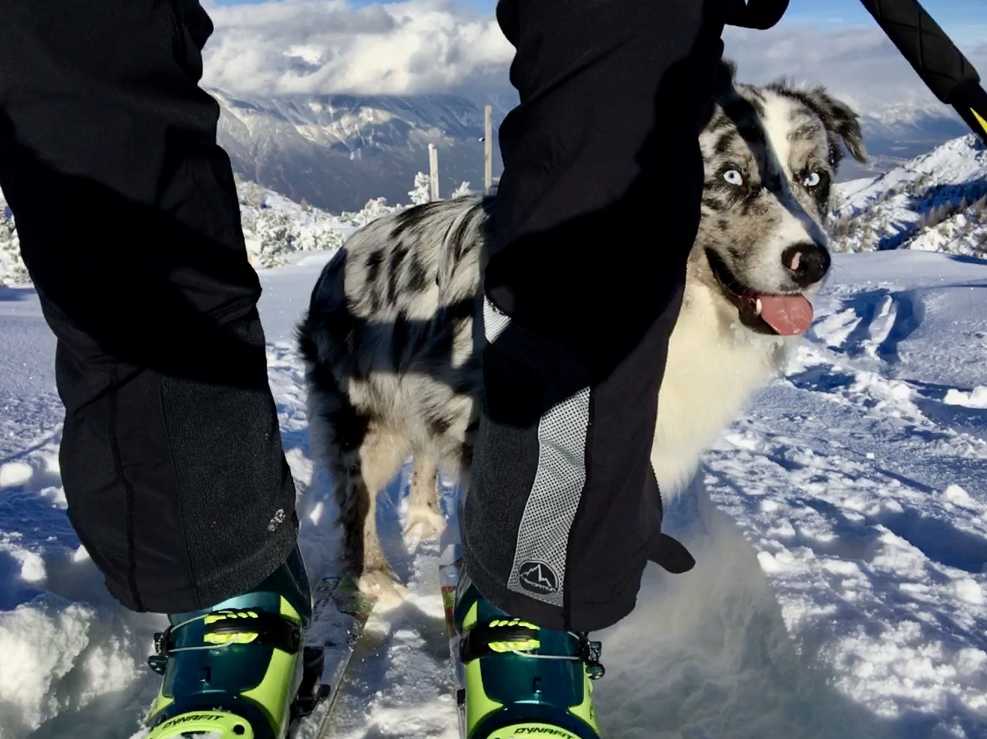
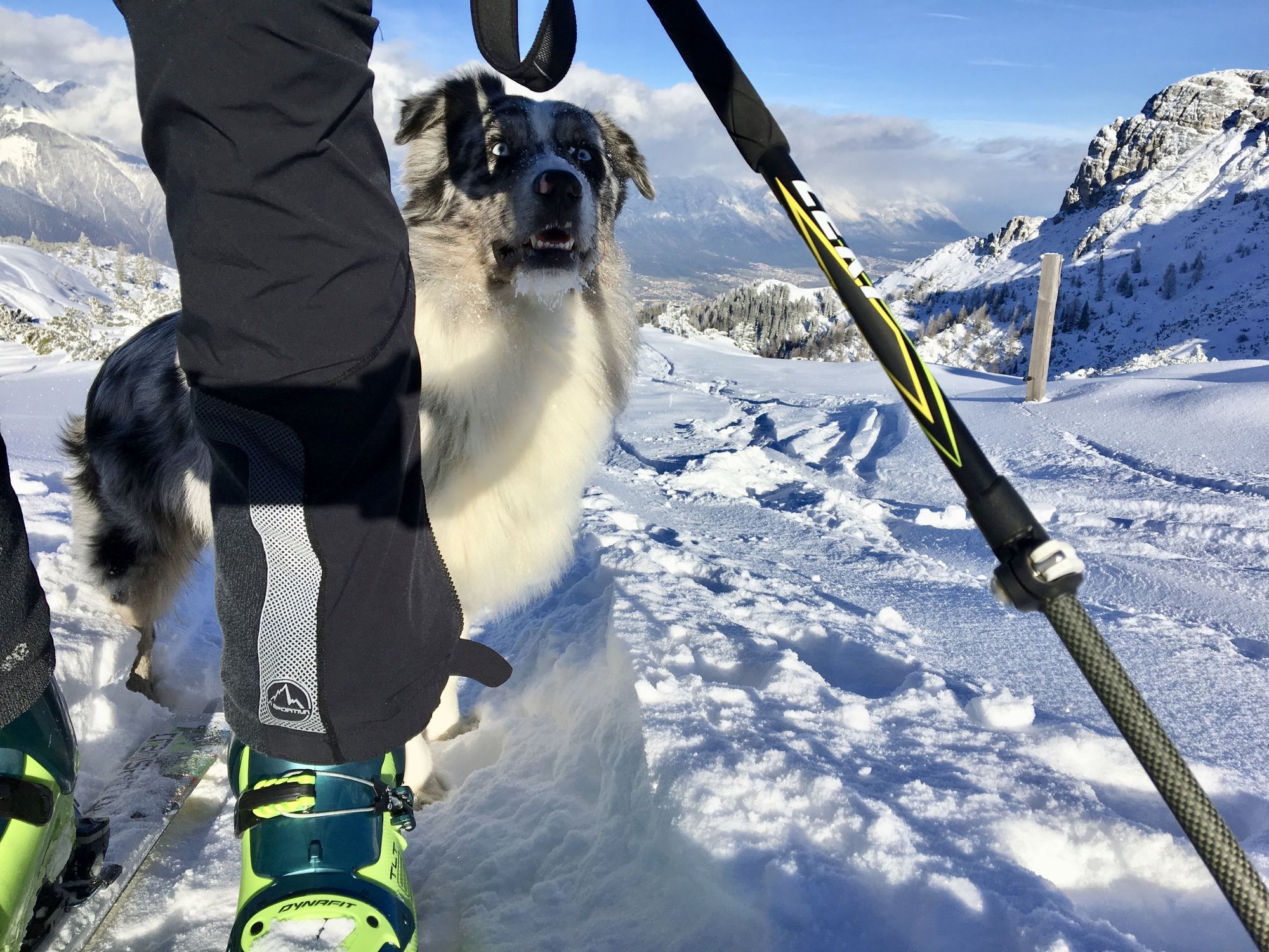
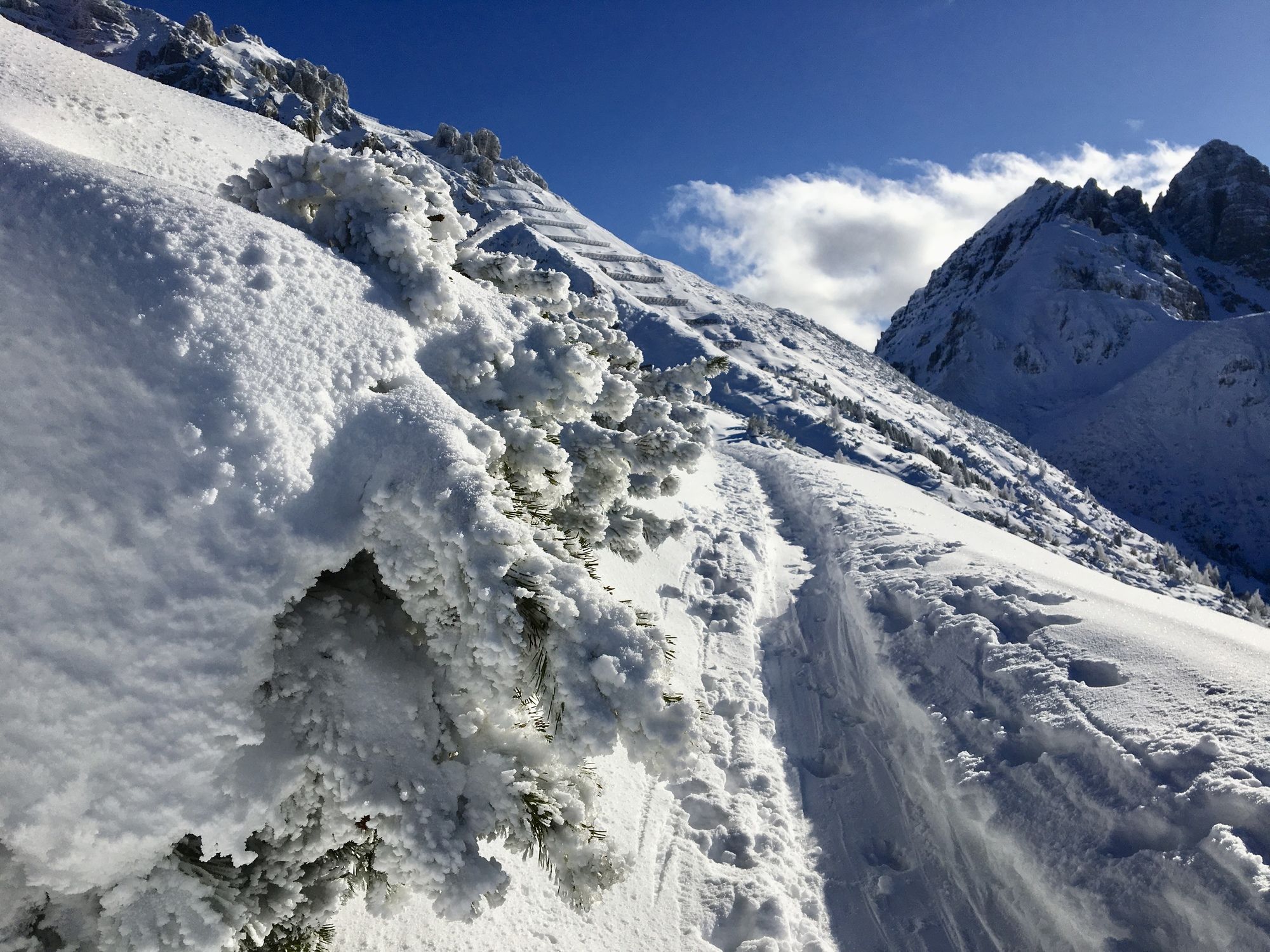
Ab dem Parkplatz beim Adelshof durch den Wald immer der Spur nach ;)
- Obtiažnosť
-
ľahká
- Hodnotenie
-
- Východisko
-
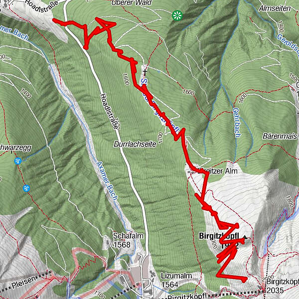
Birgitzer Alm Parkplatz
- Trasa
-
Birgitzer Alm (1.808 m)3,9 kmBirgitzköpfl (1.980 m)5,9 km
- Najlepšia sezóna (ročné obdobie)
-
augsepoktnovdecjanfebmaraprmájjúnjúl
- Najvyšší bod
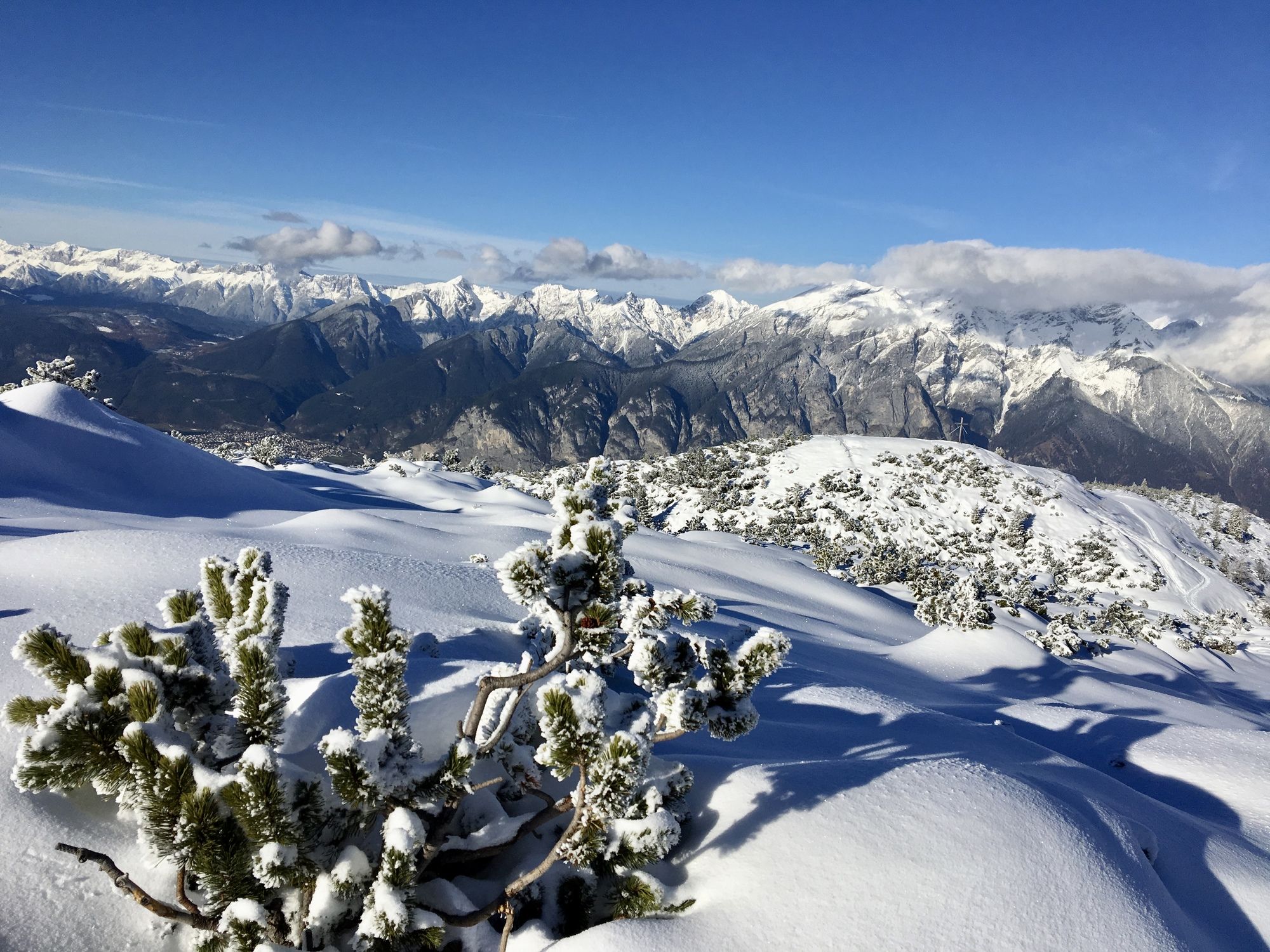
- 2.054 m
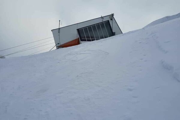
- Cieľová destinácia
-
Birgitzer Alm oder für gute konditionierte Birgitzköpfel Haus
- Exposition
- Zvyšok/Ústup
-
Birgitzer Alm und Birgitzköpfl Haus
- Mapy
-
GPS


- Zdroj
- Bergmex
GPS Downloads


Ďalšie prehliadky v regiónoch
-
Stubaital
165
-
Mutters - Muttereralm
28