






Ski tour on the diverse Glungezer
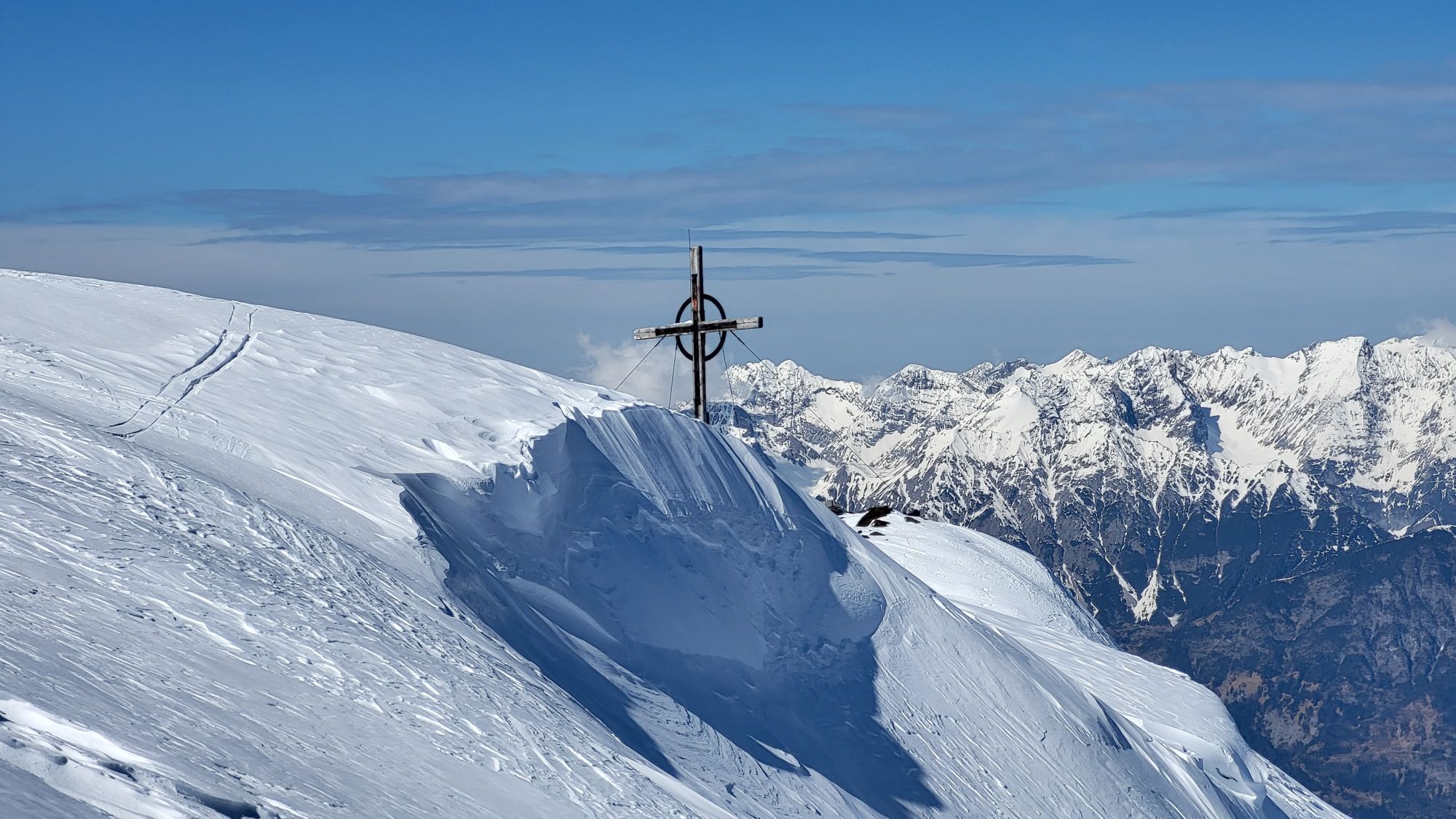
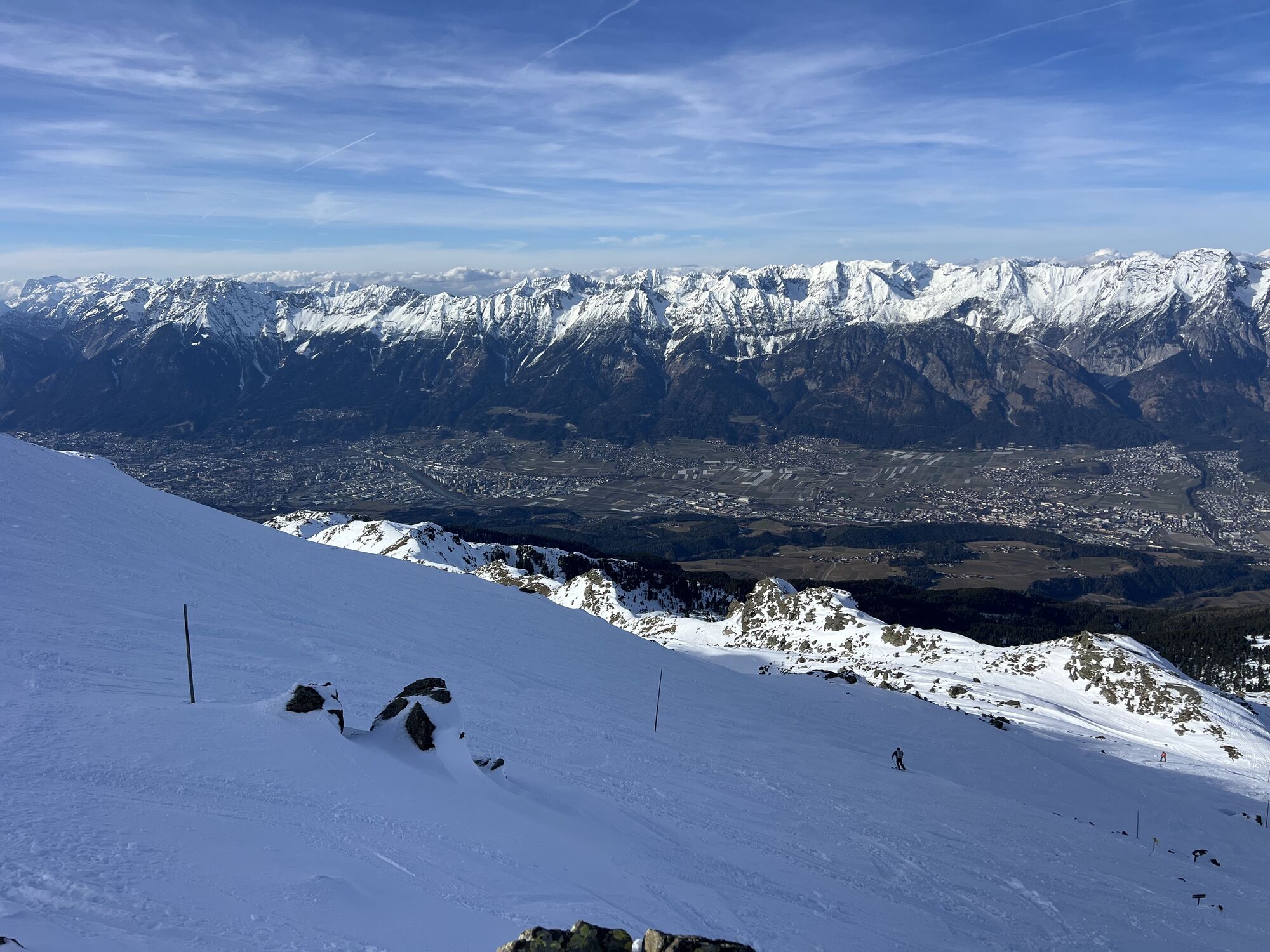
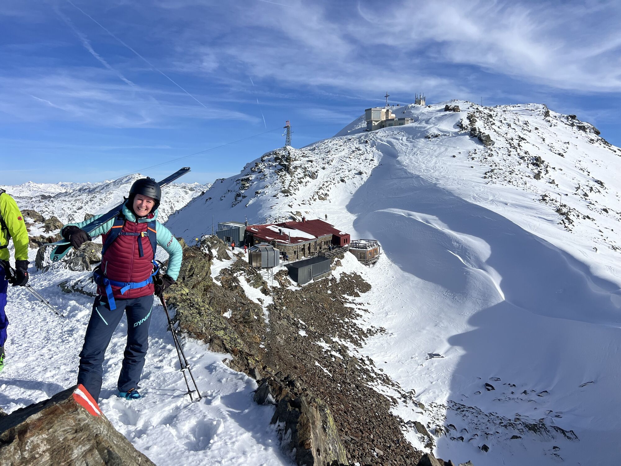
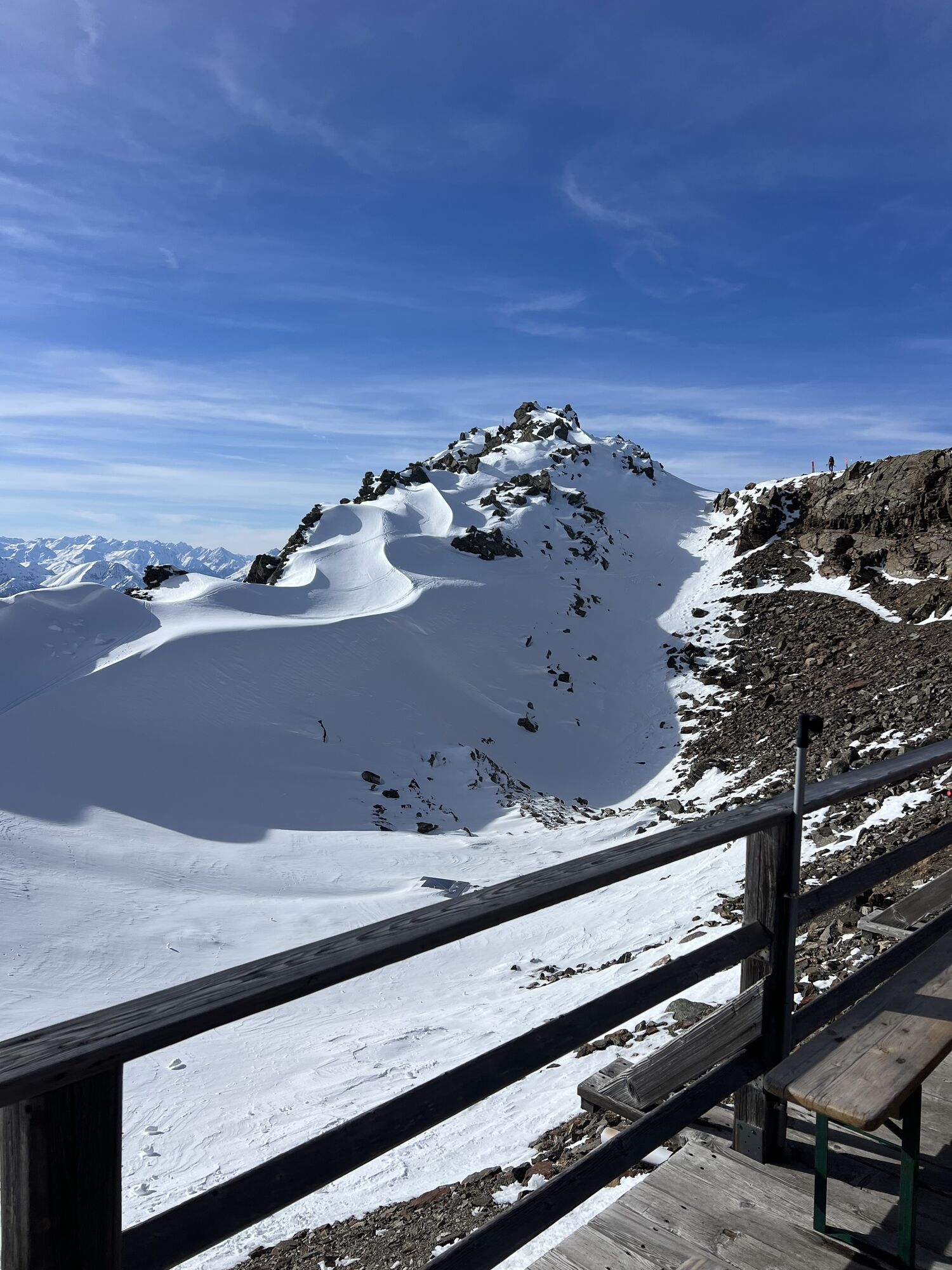
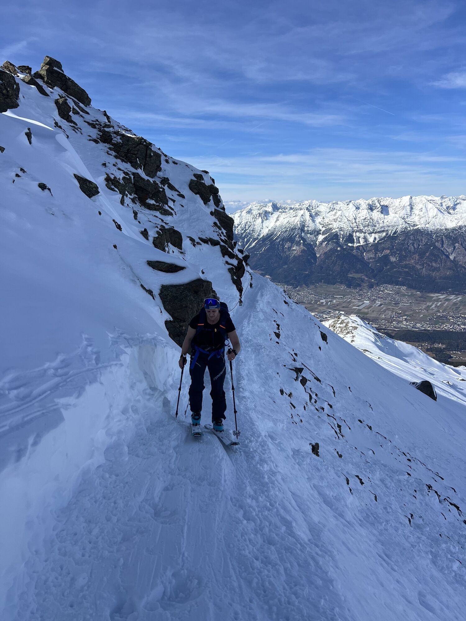
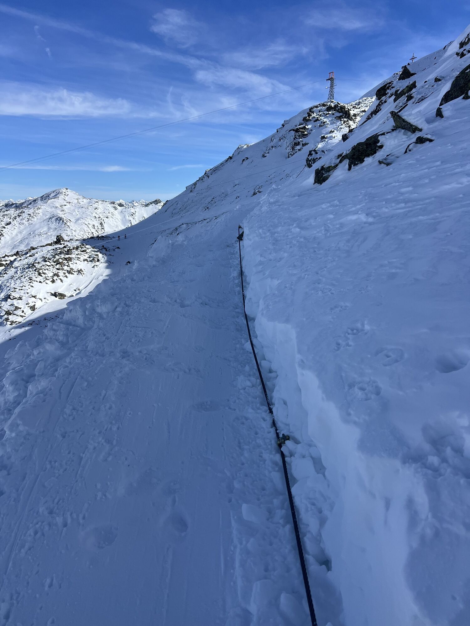
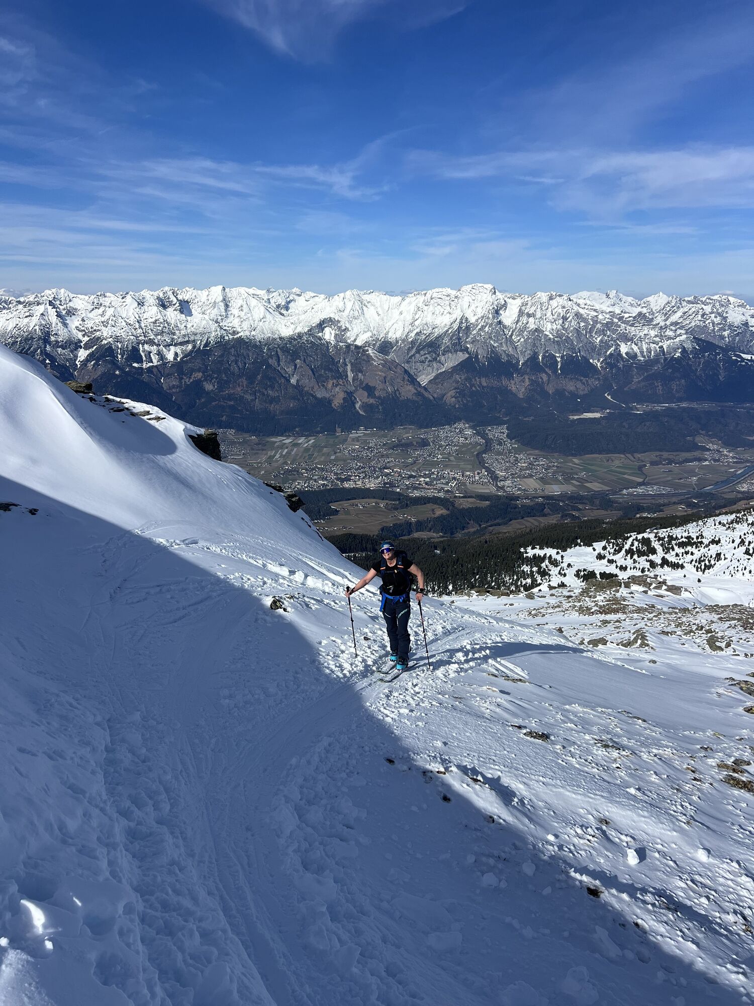
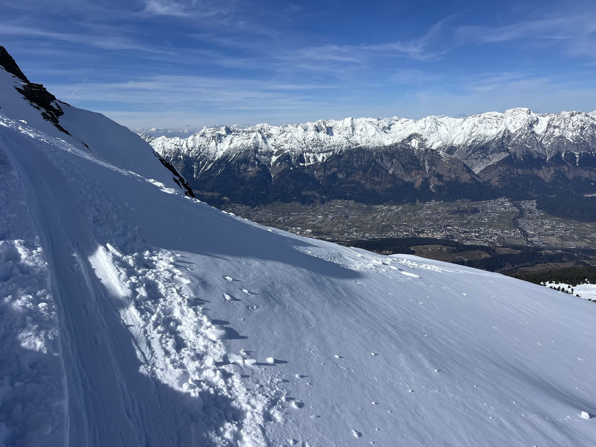
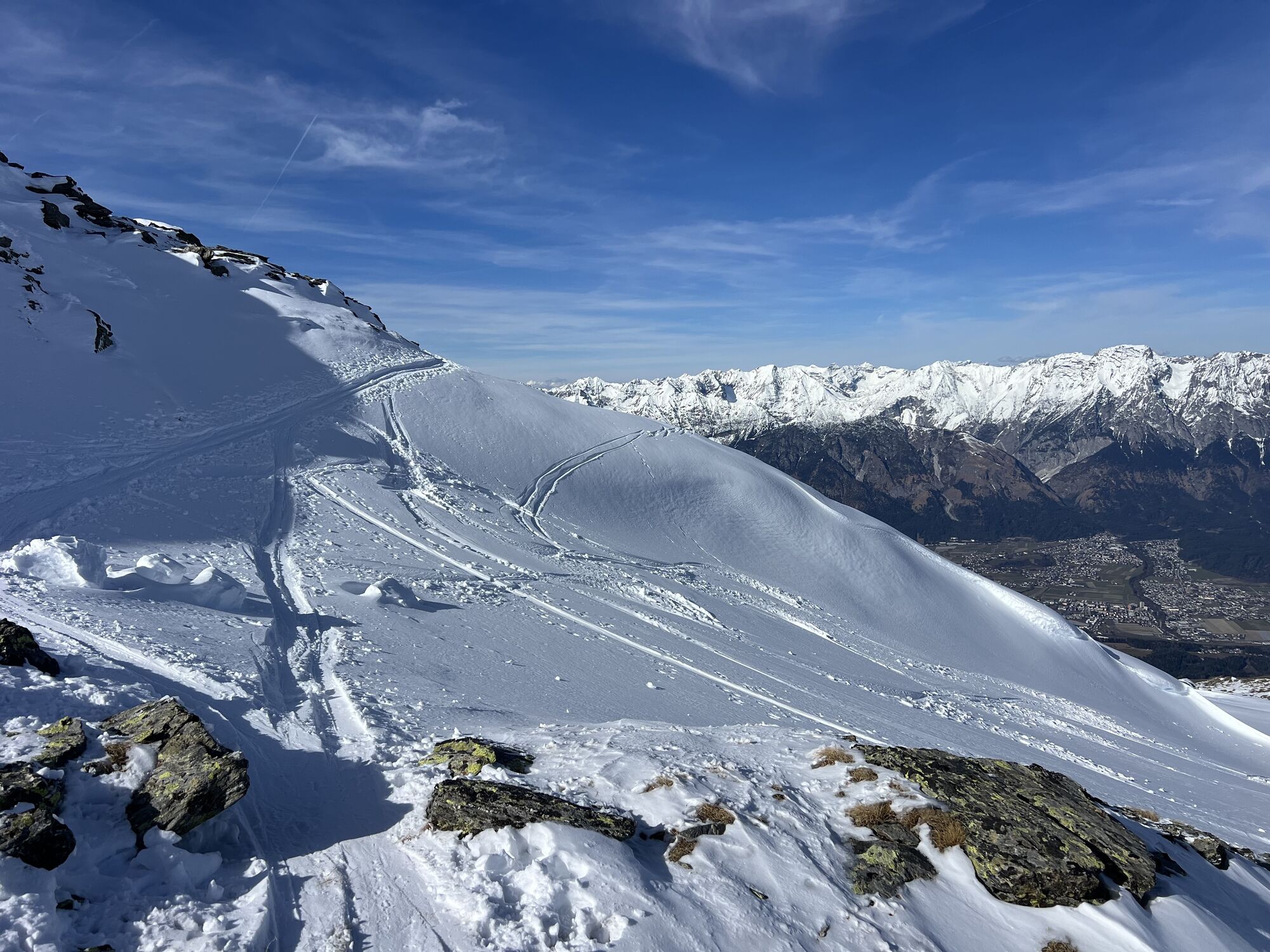
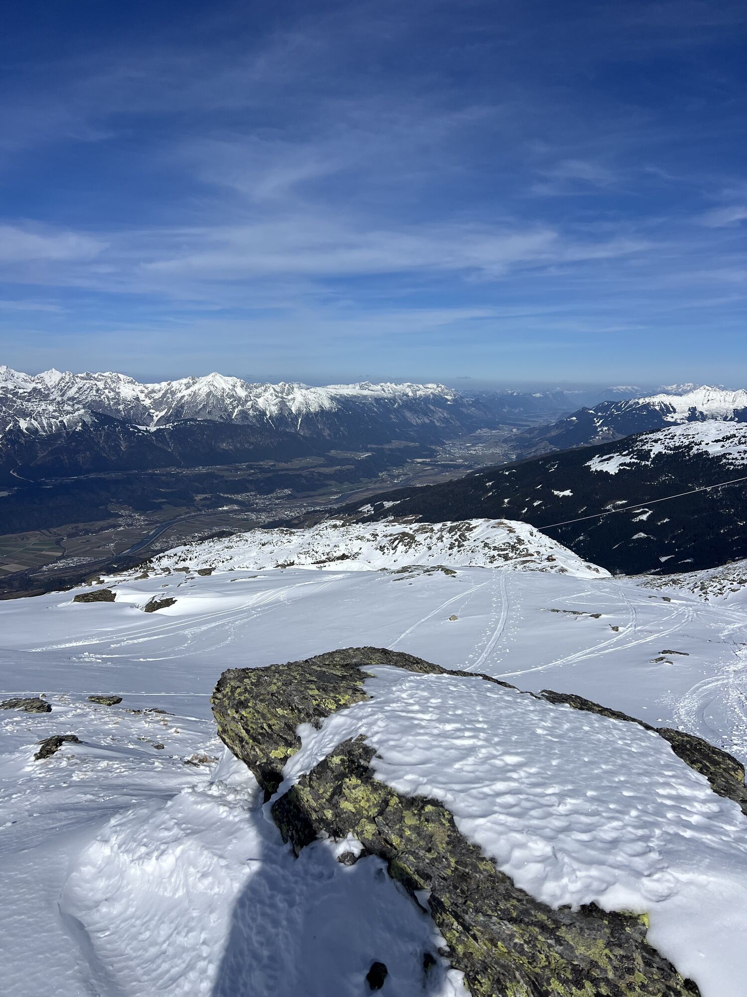
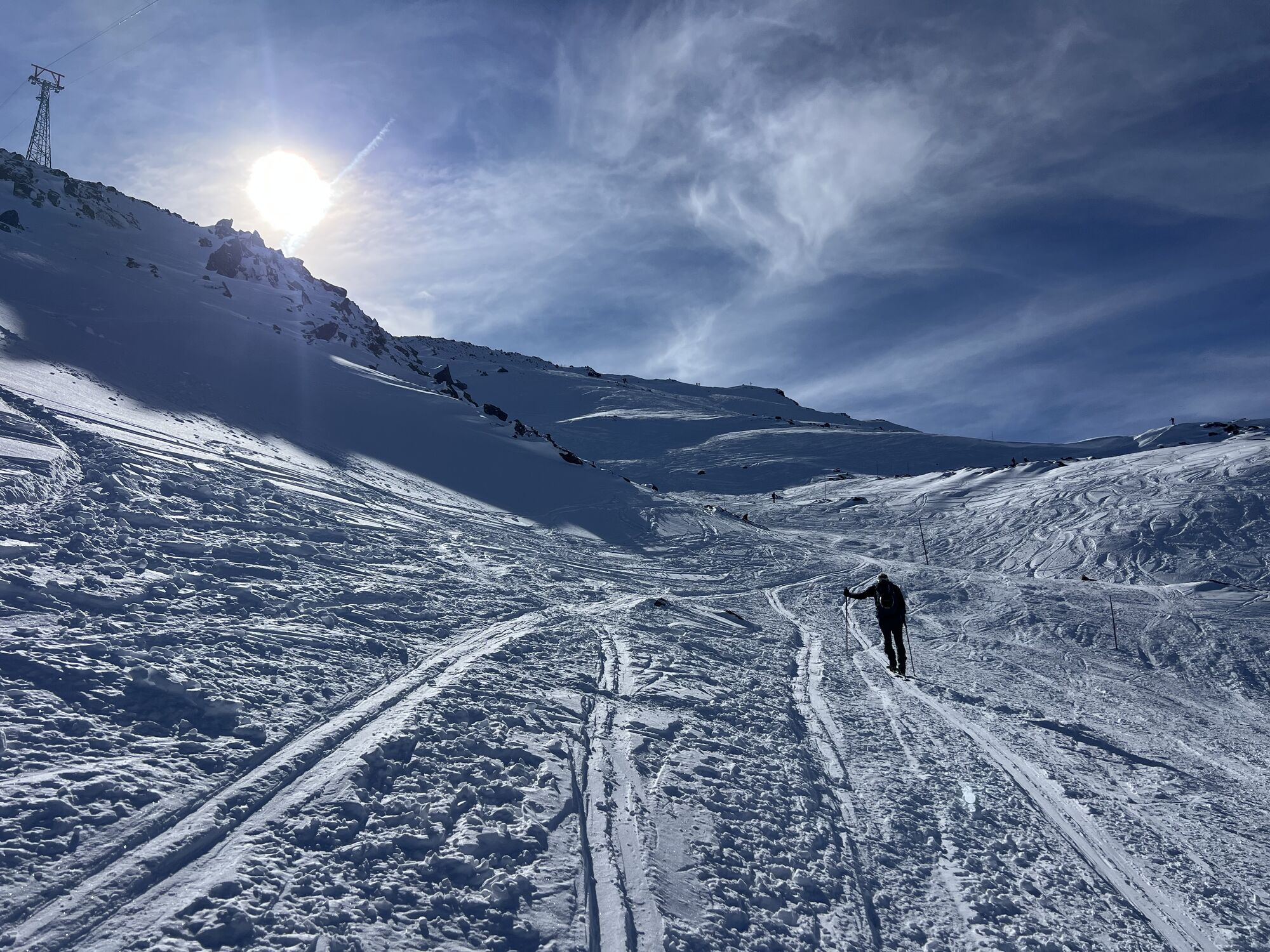
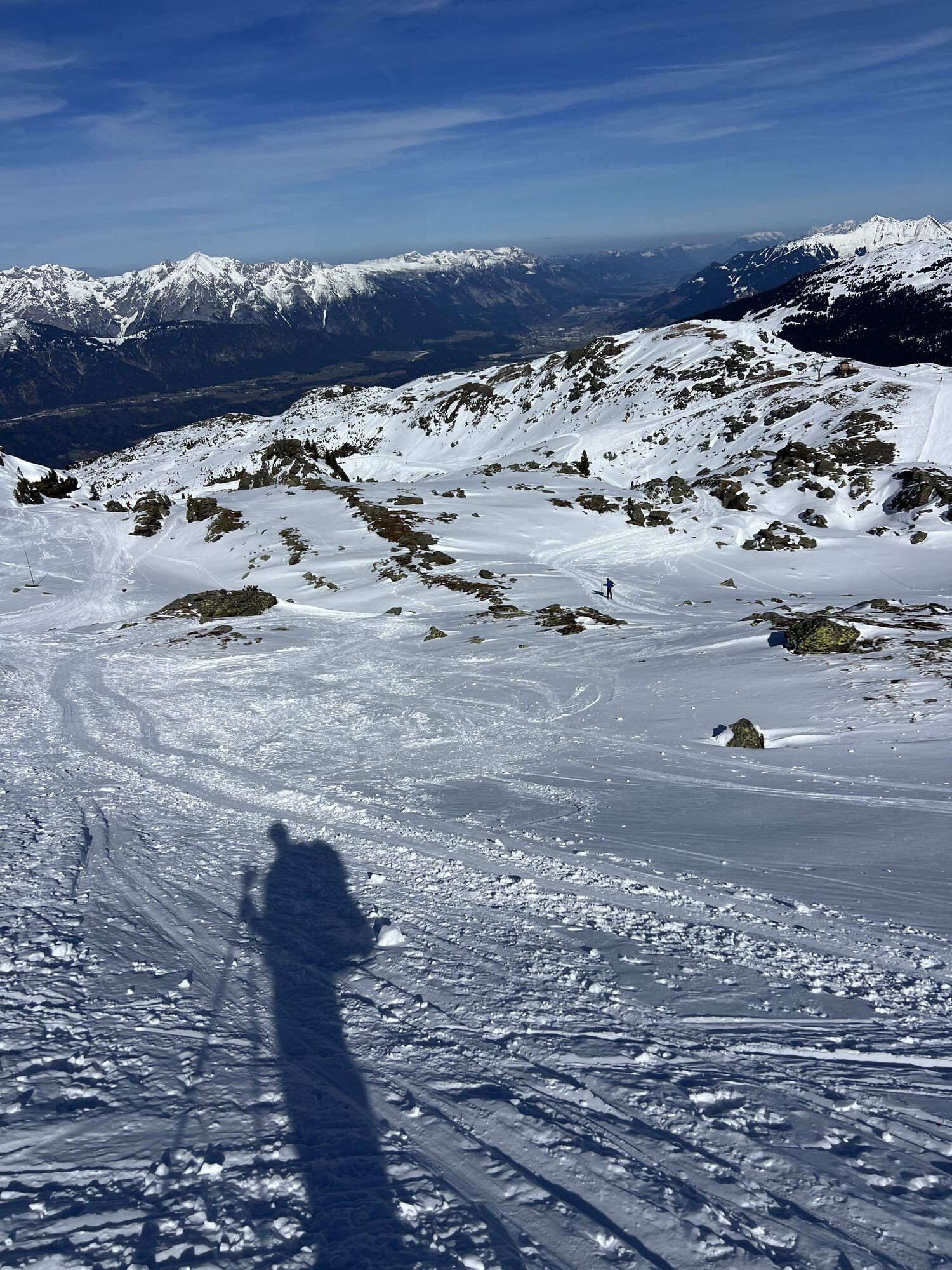
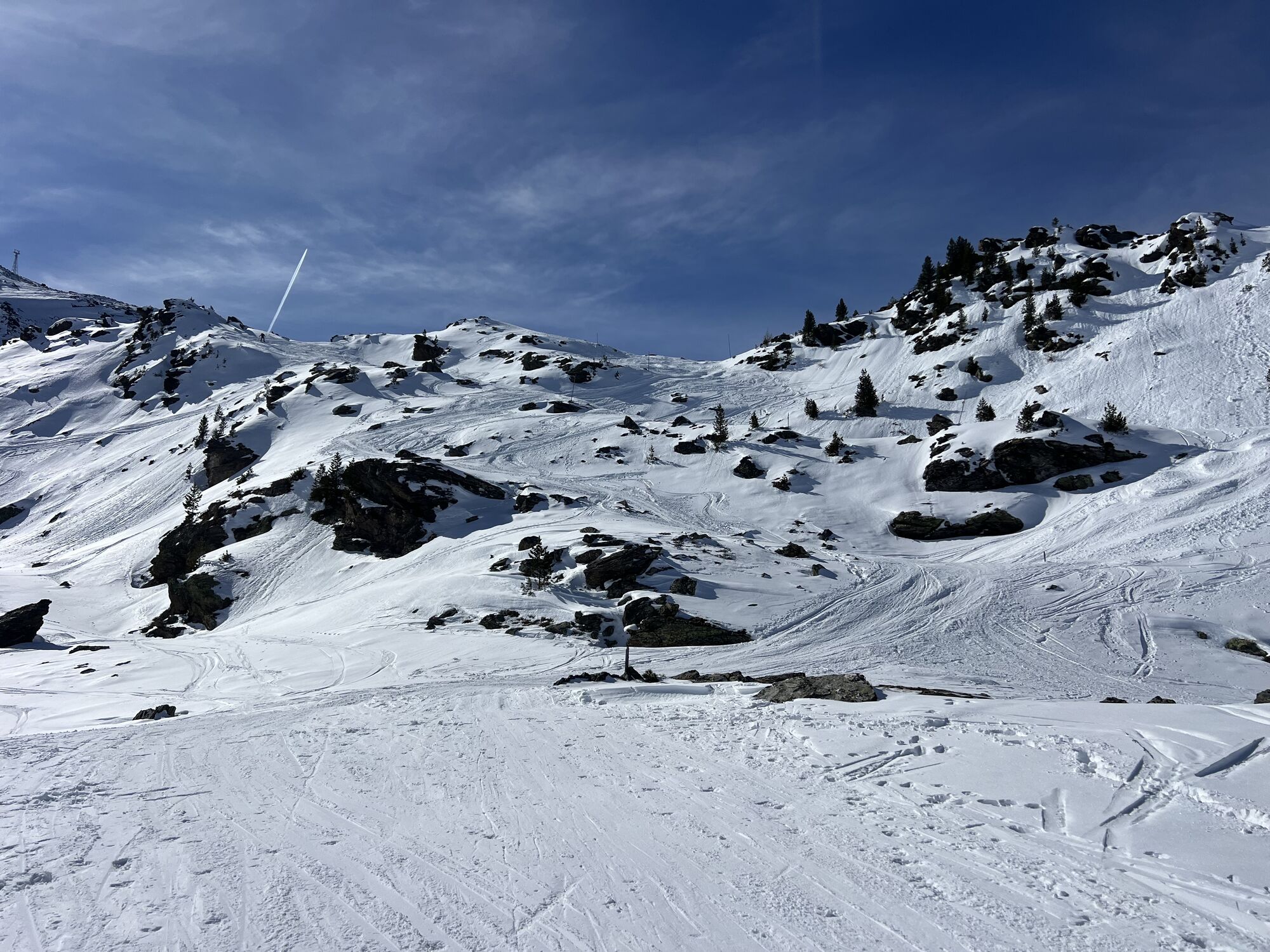
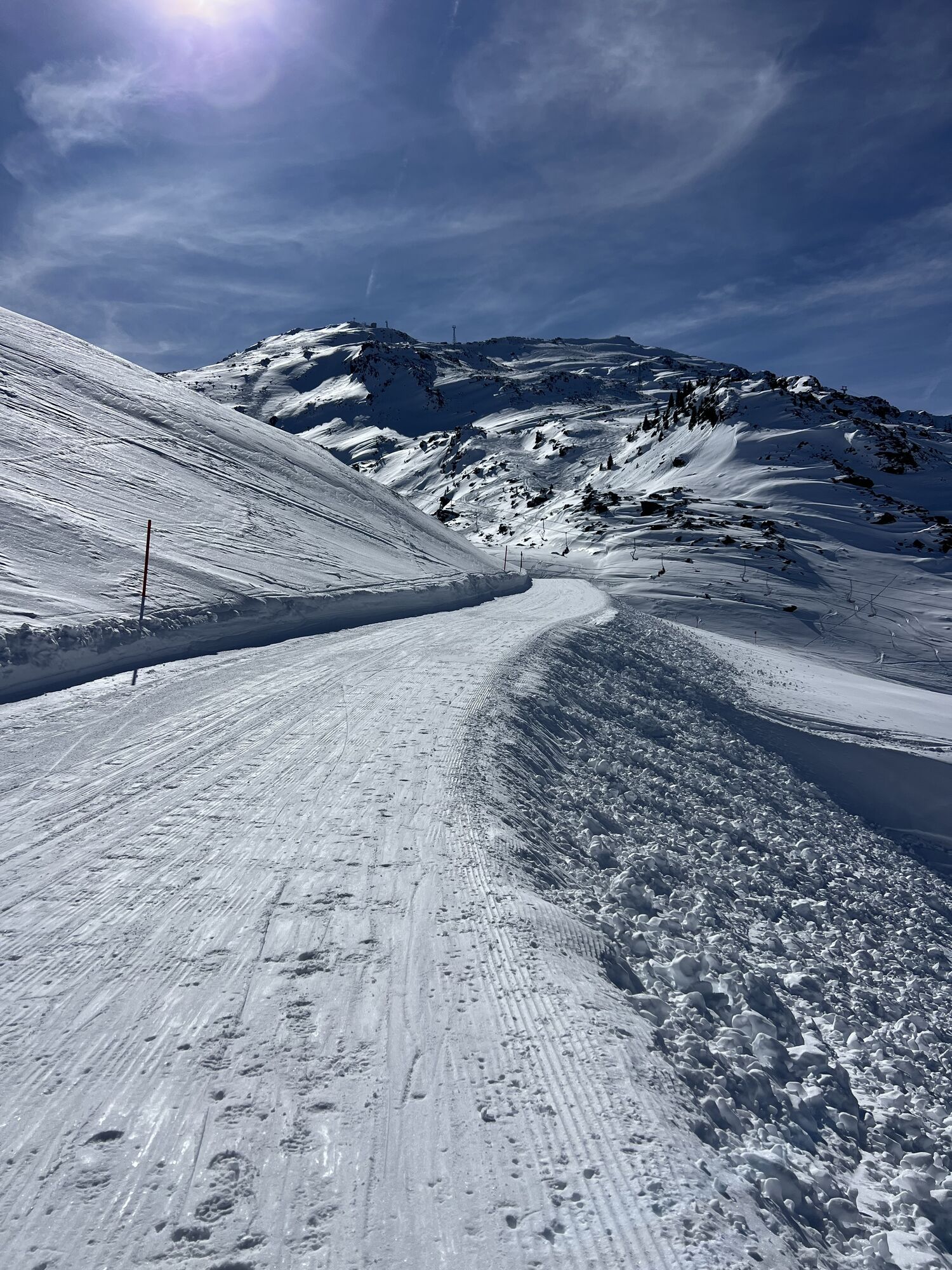
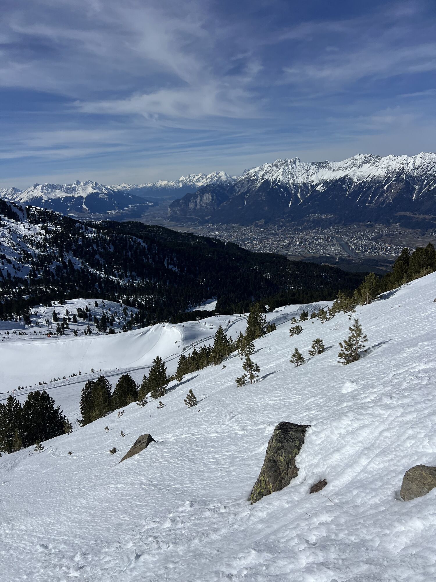
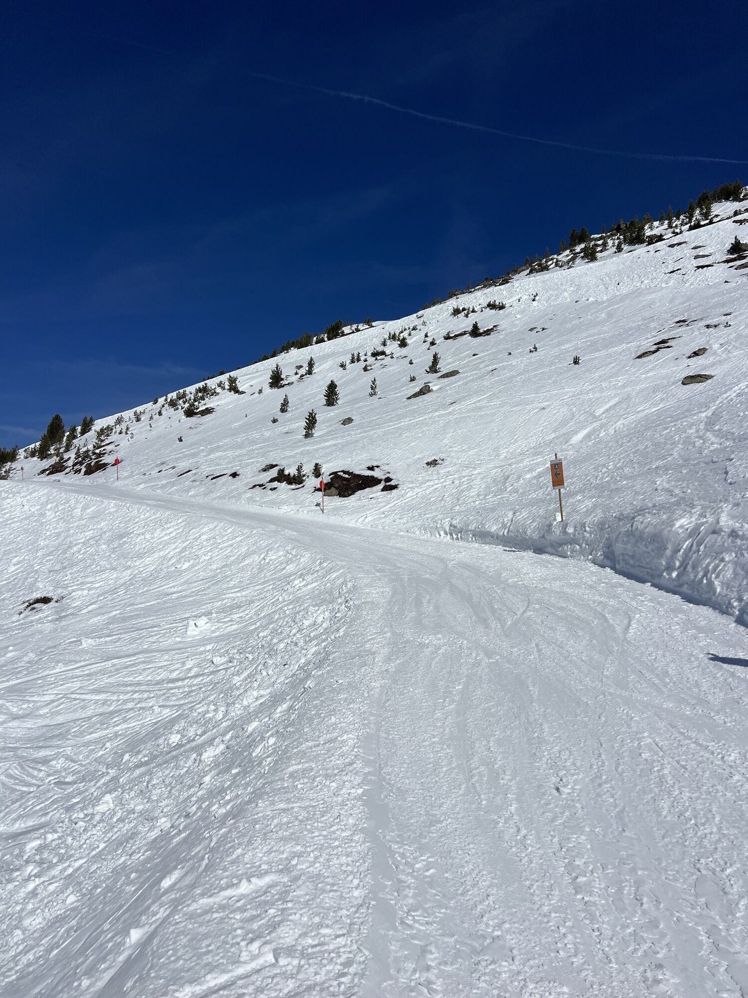
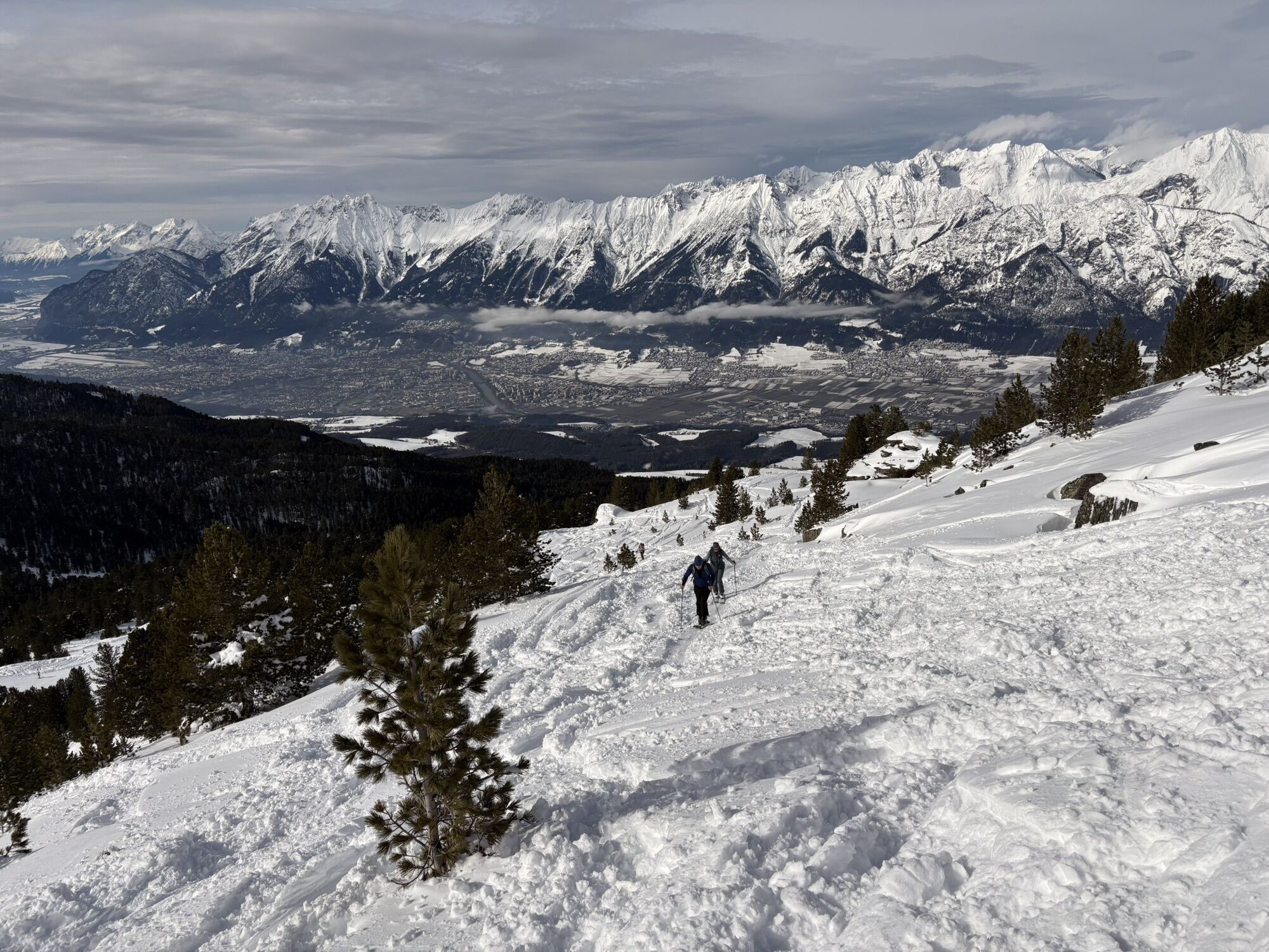
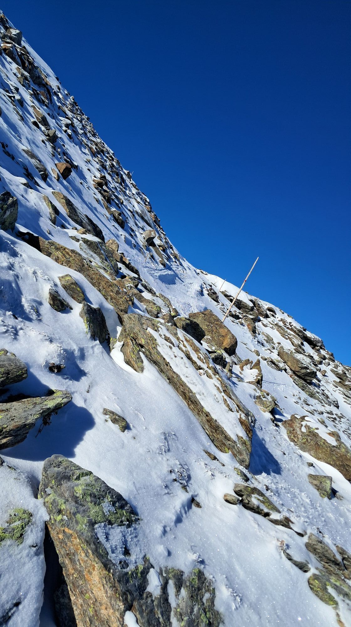
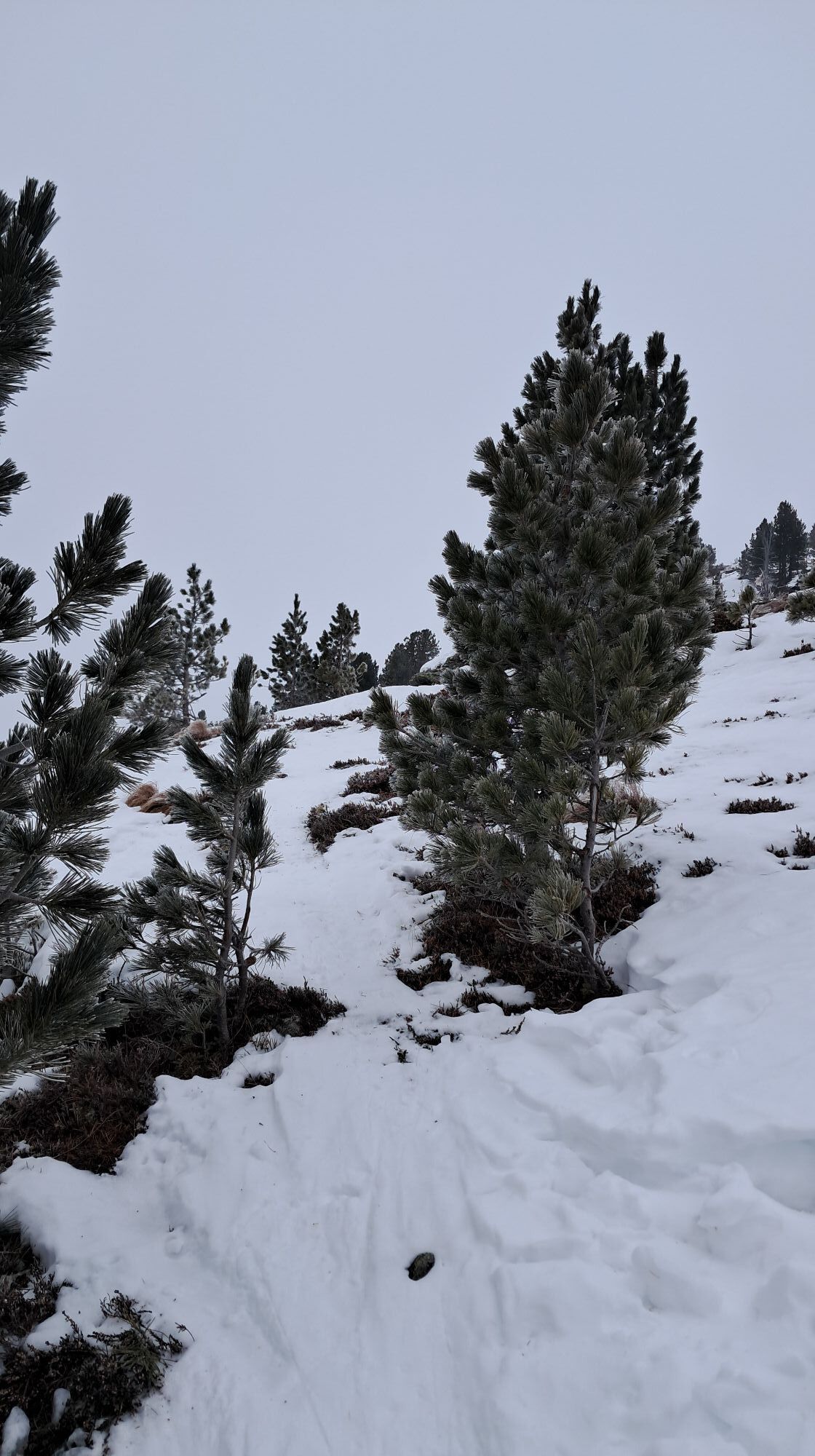
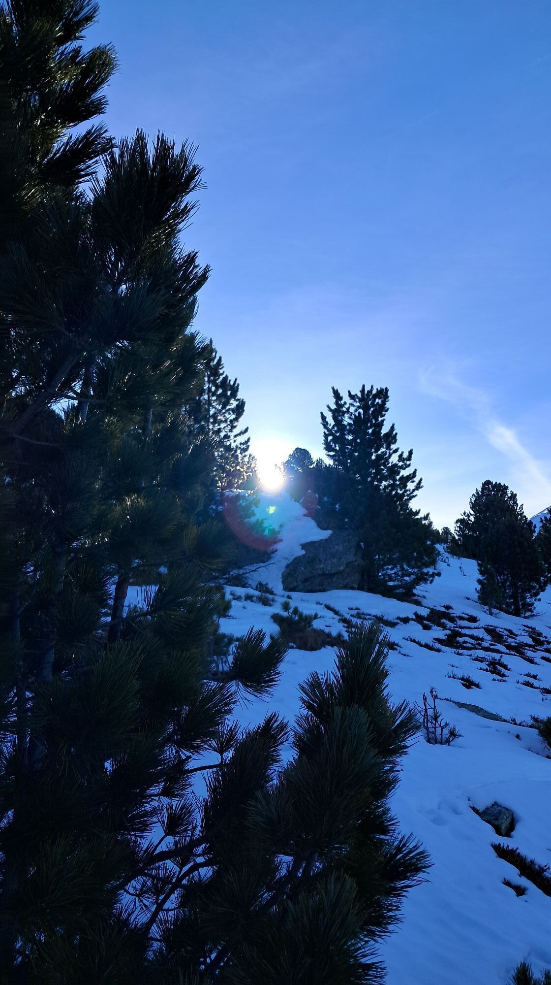
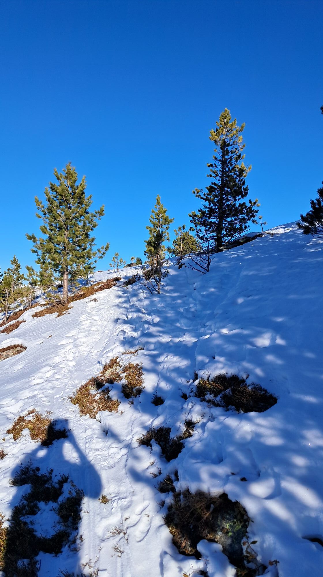
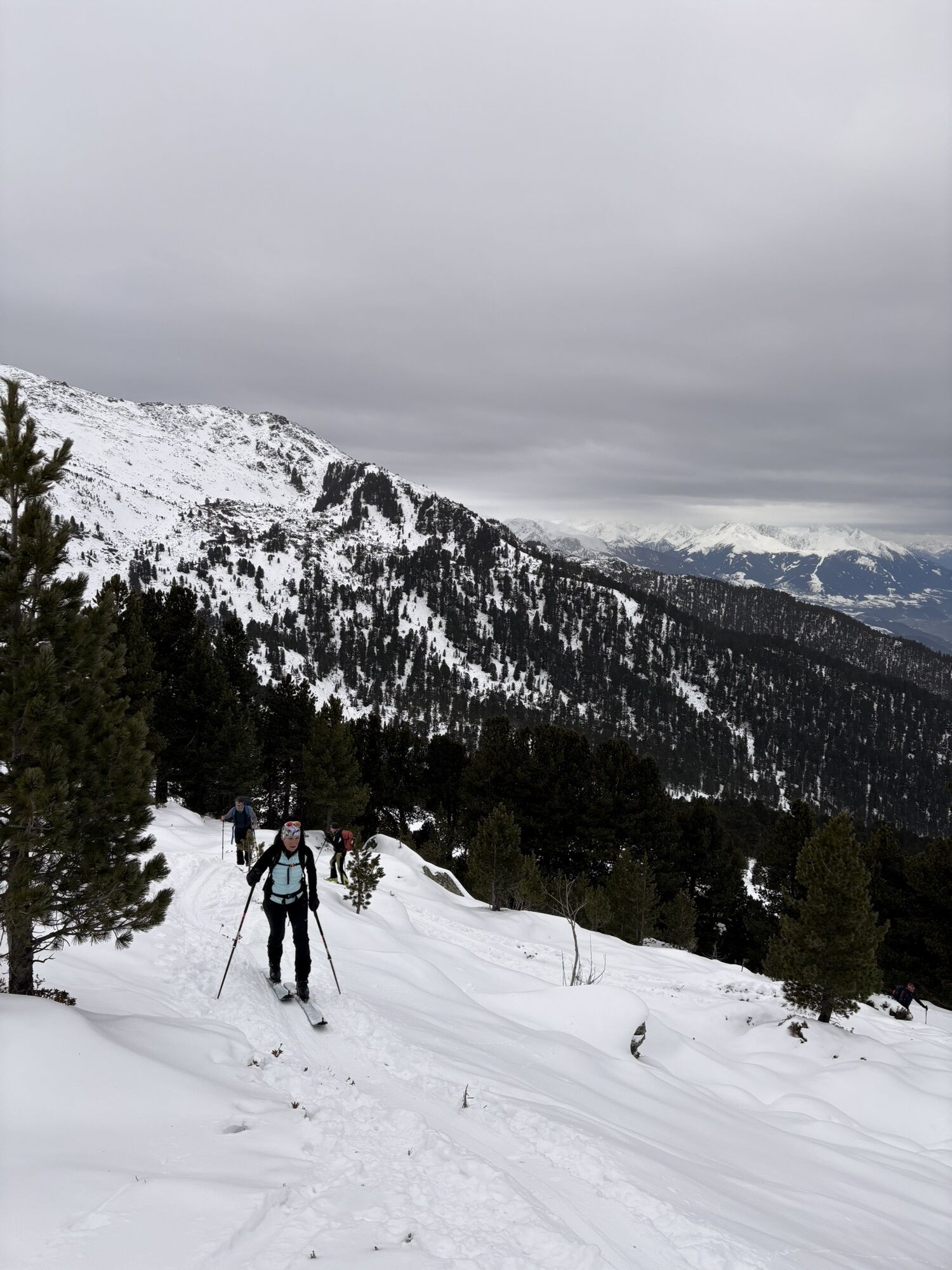
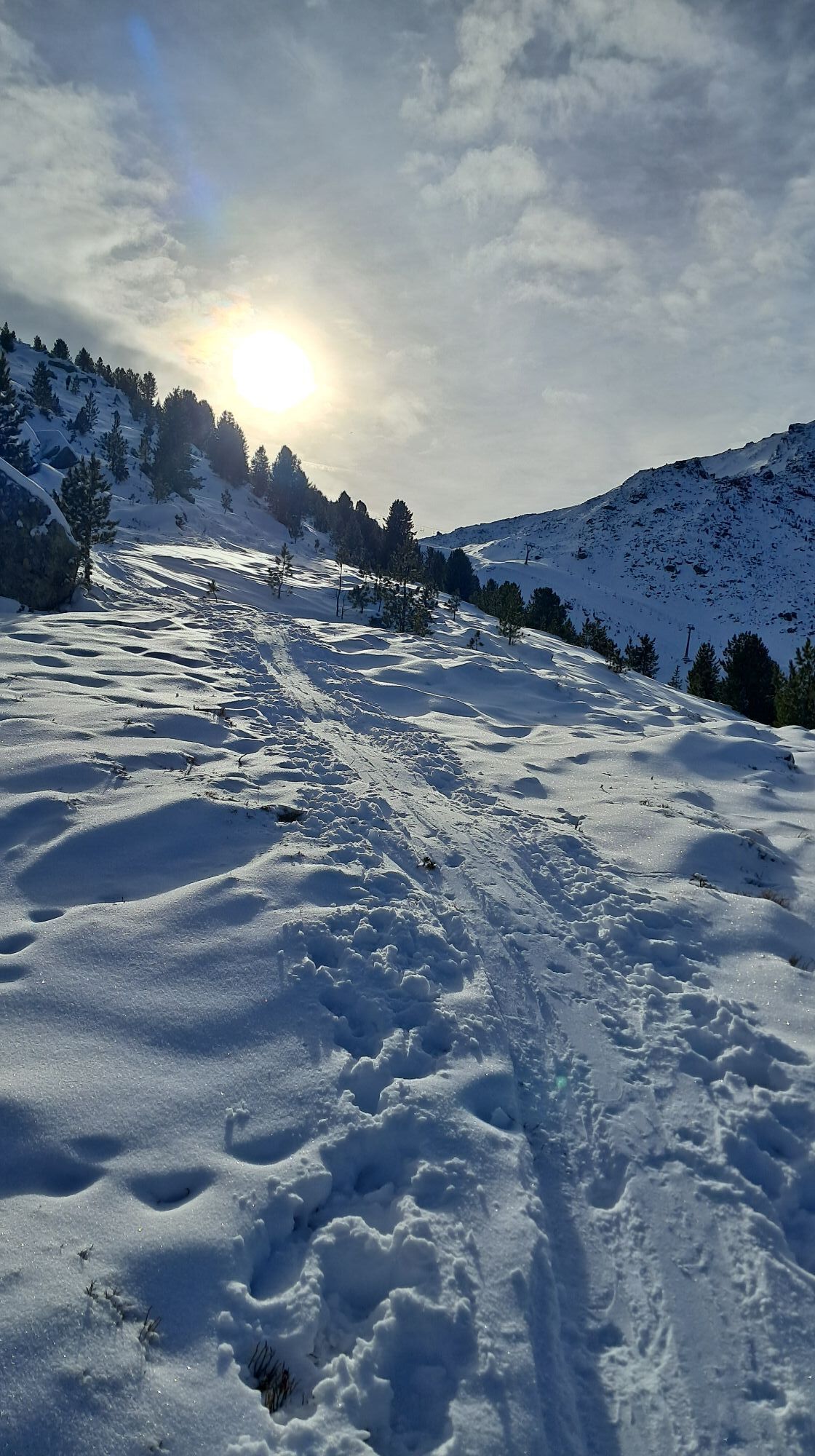
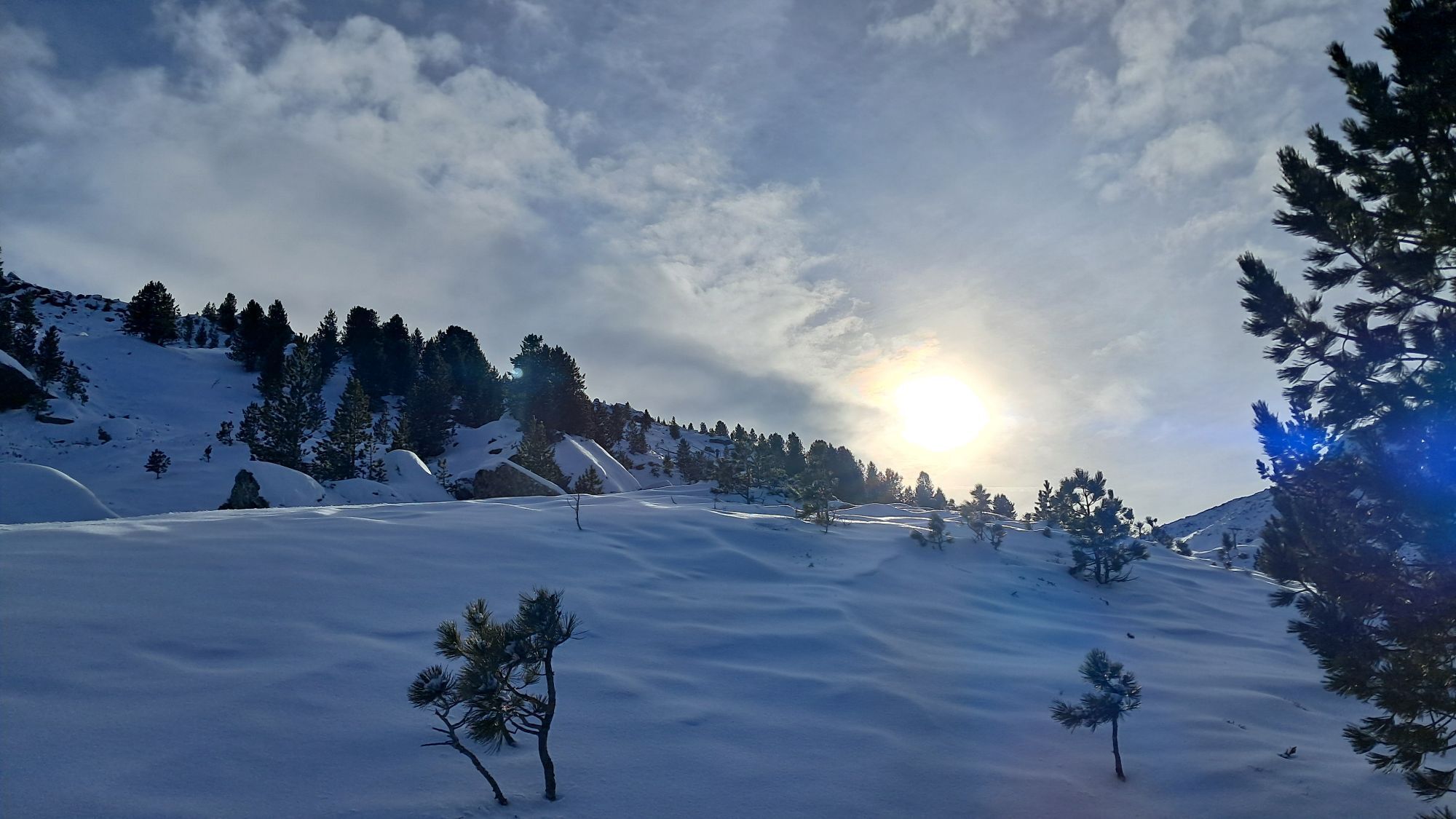
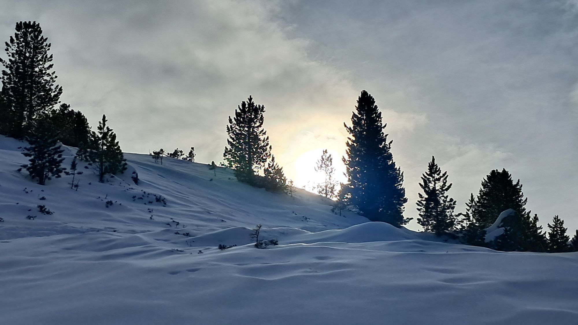
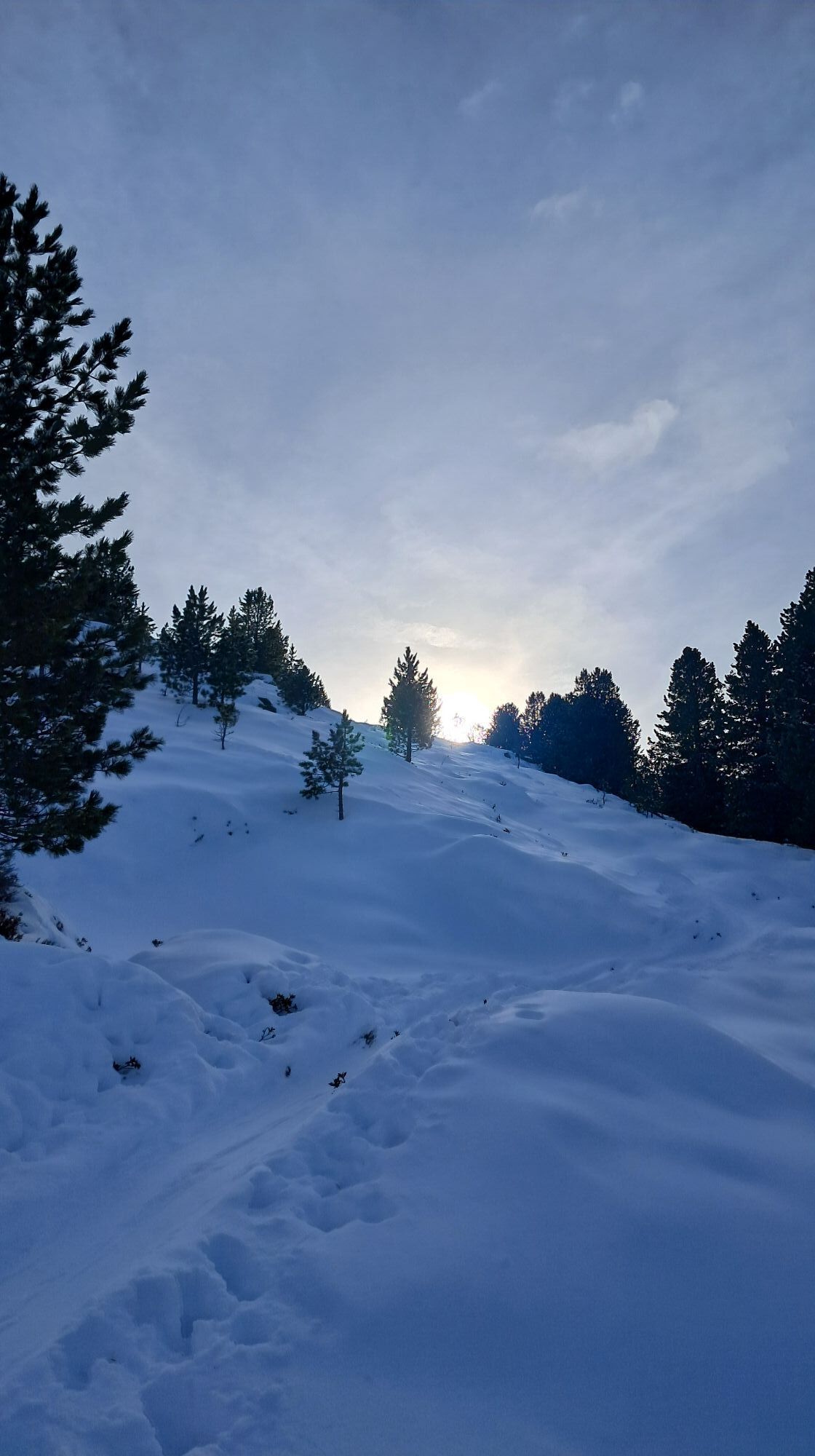
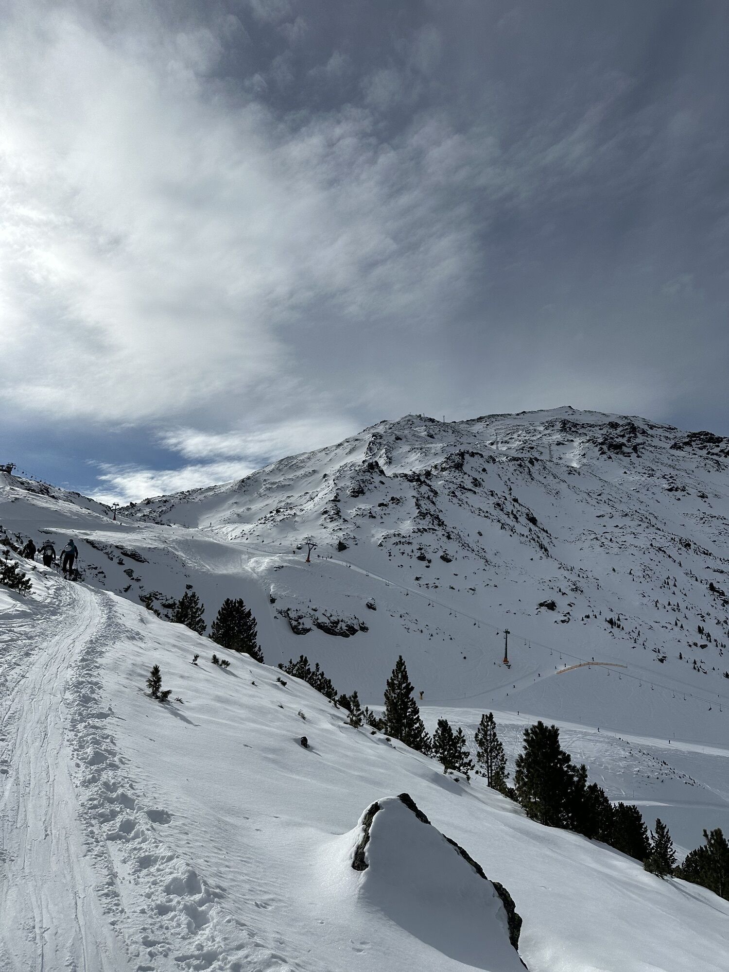
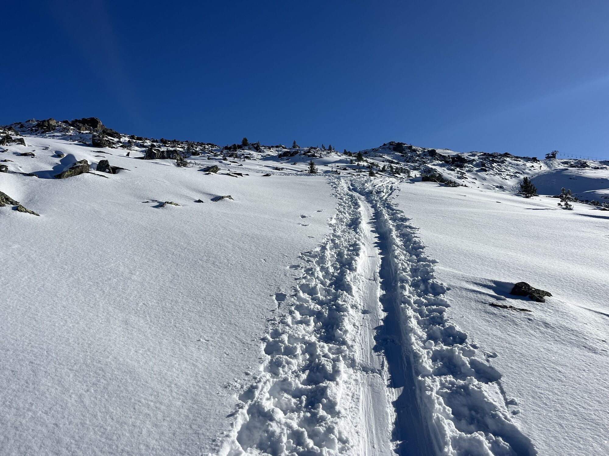

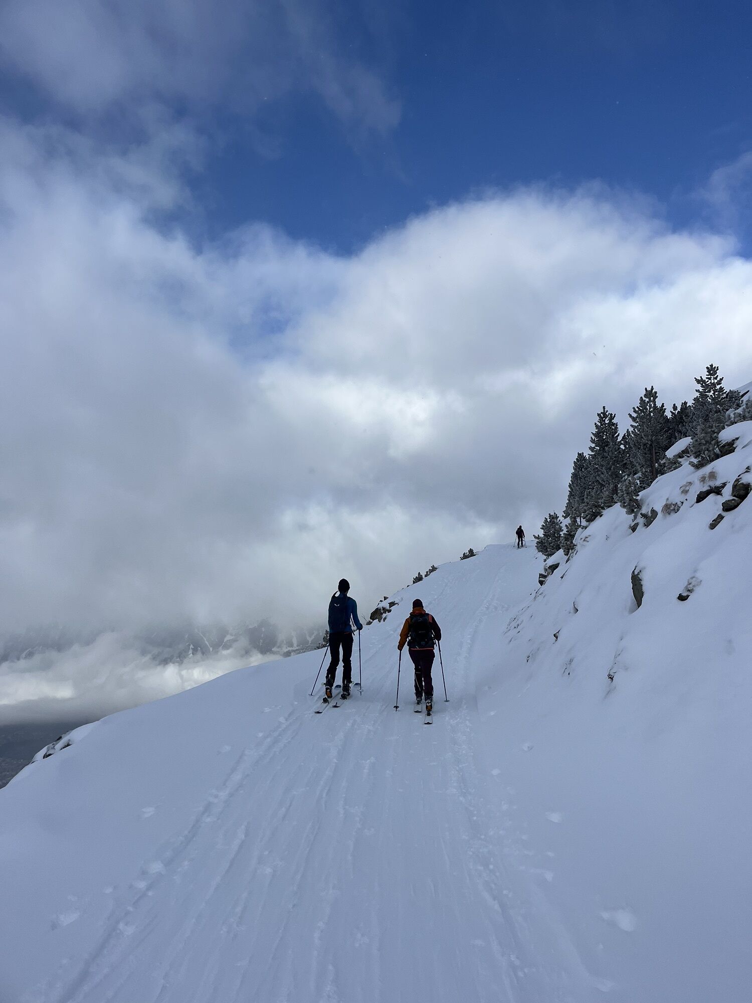
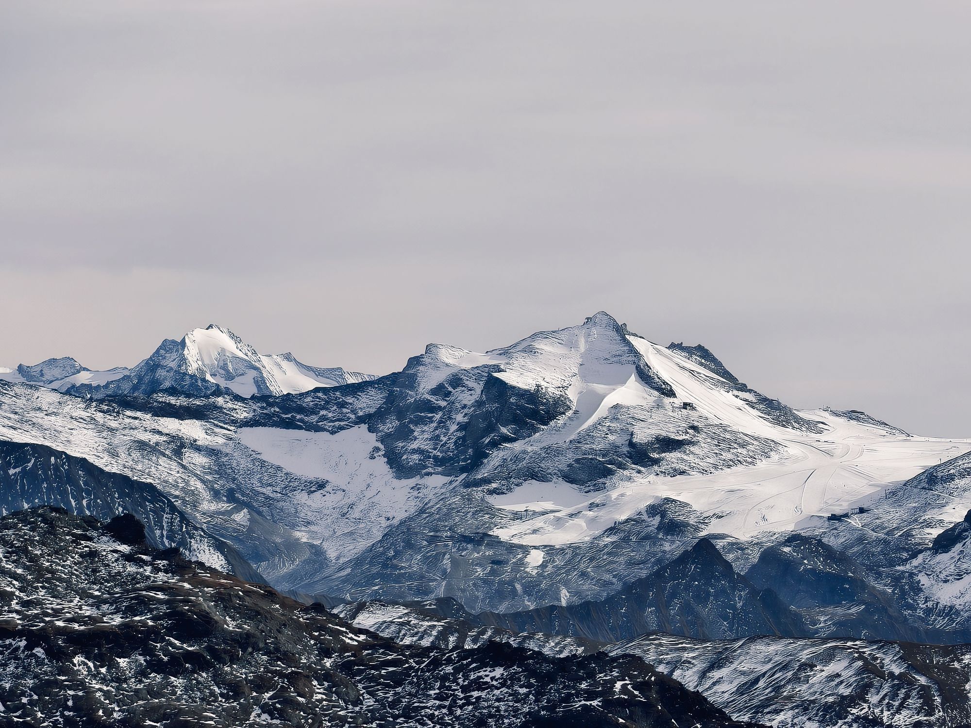
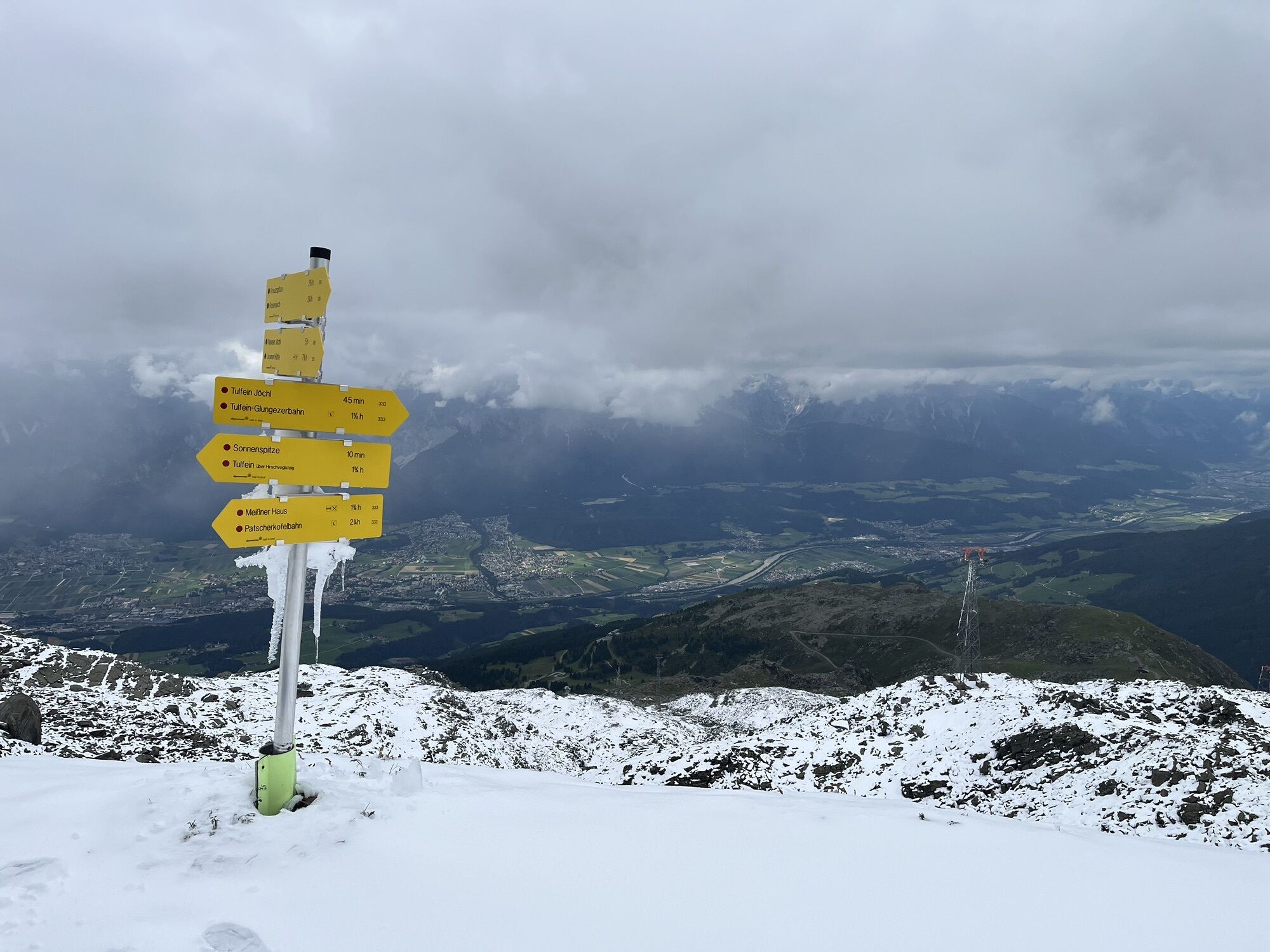
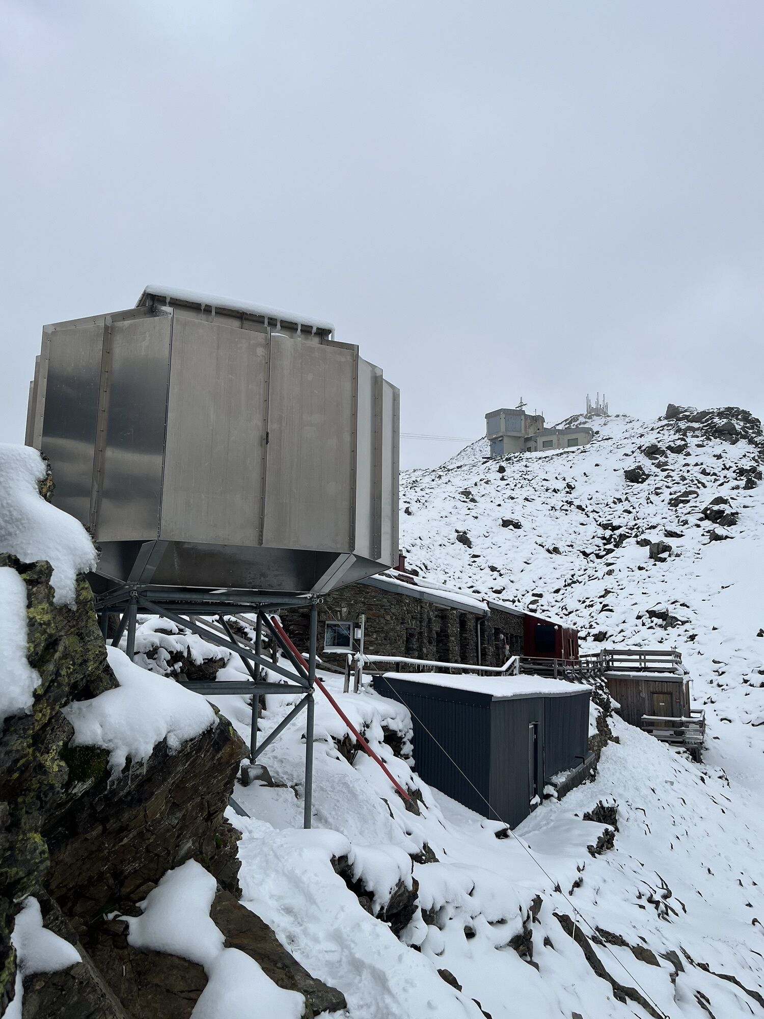
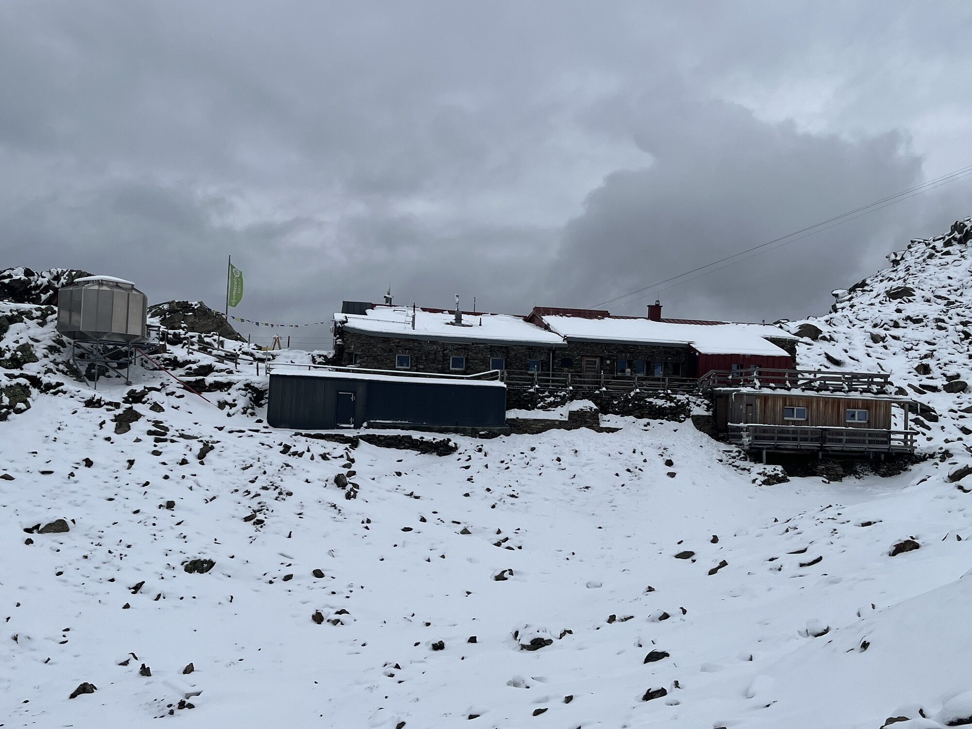
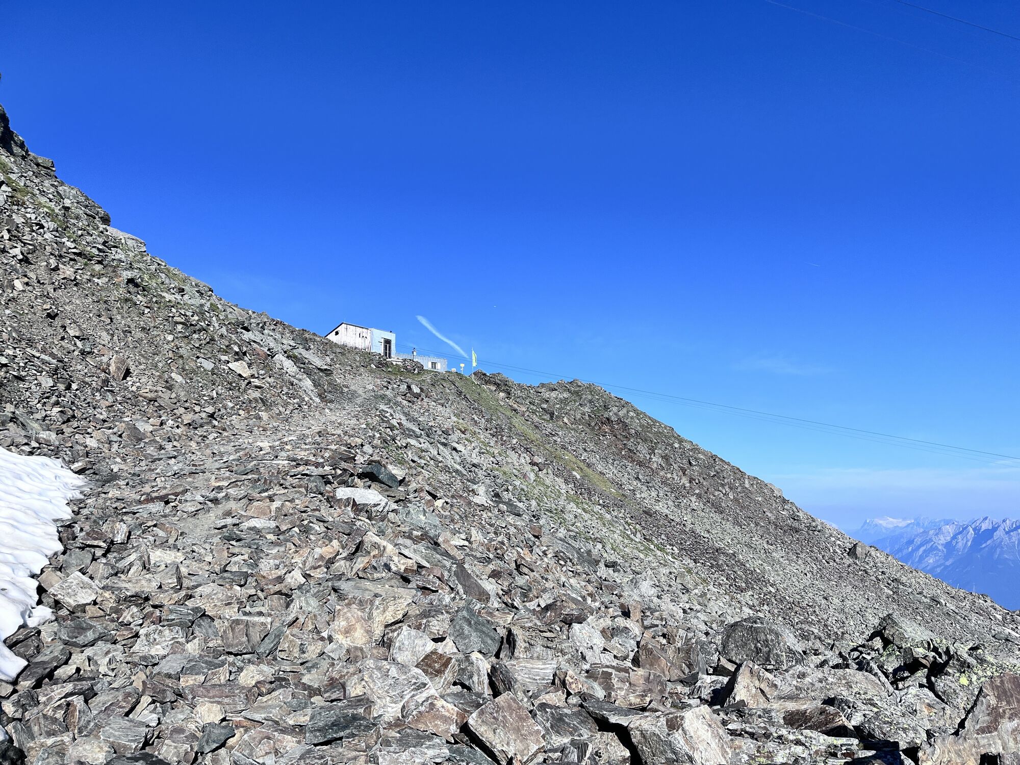
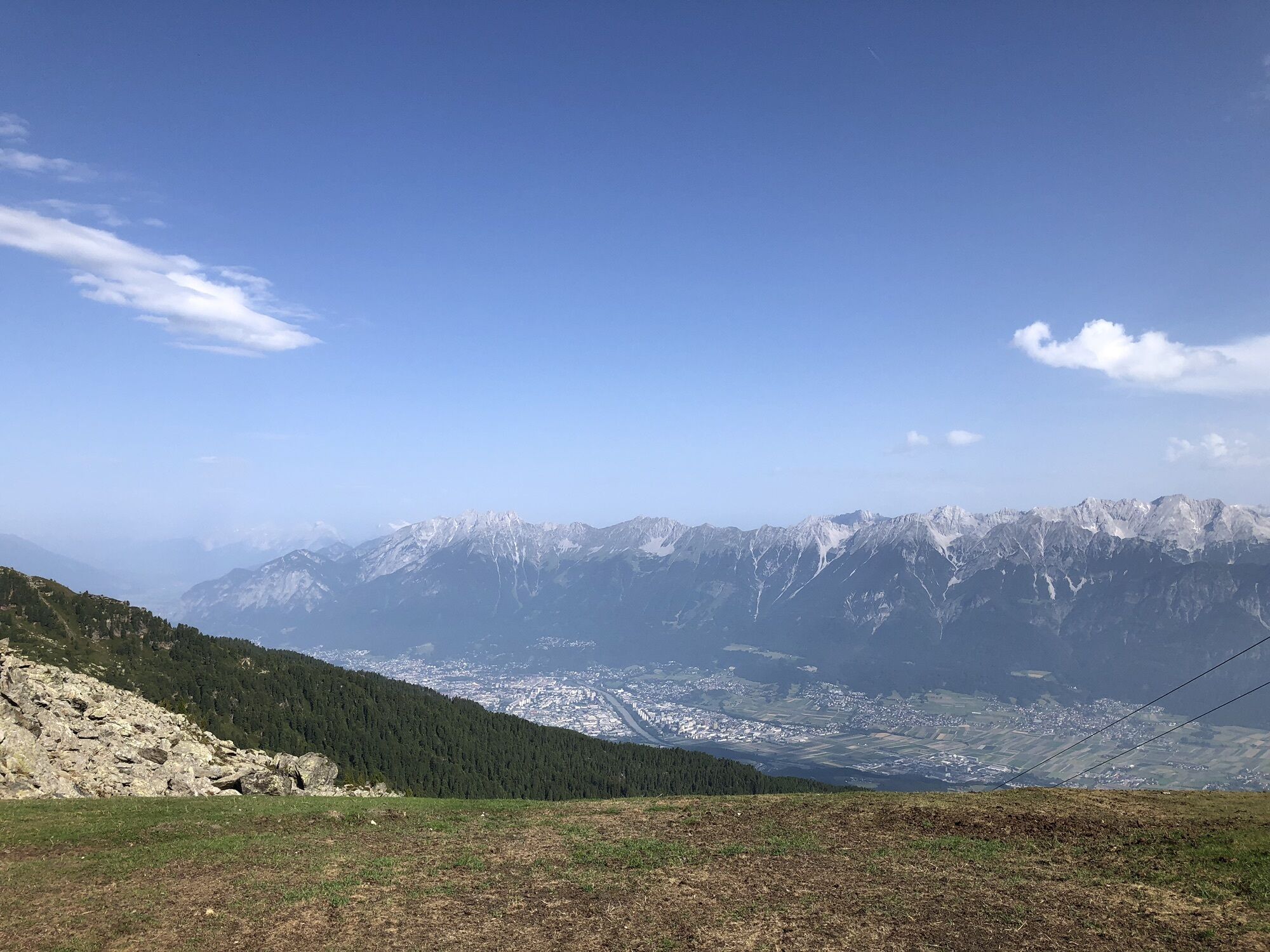
Hardly any summit in Tirol offers so many variants of ascent but also of descent.

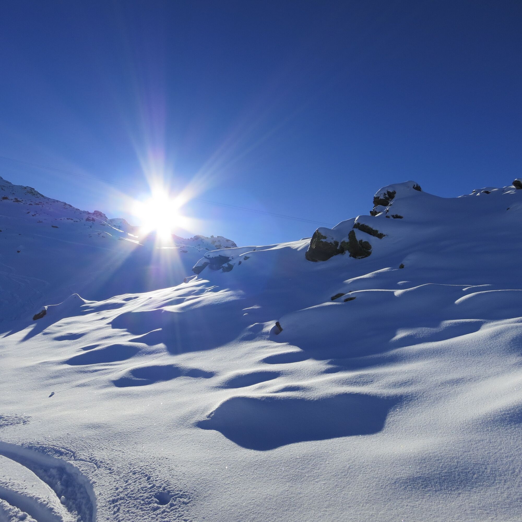
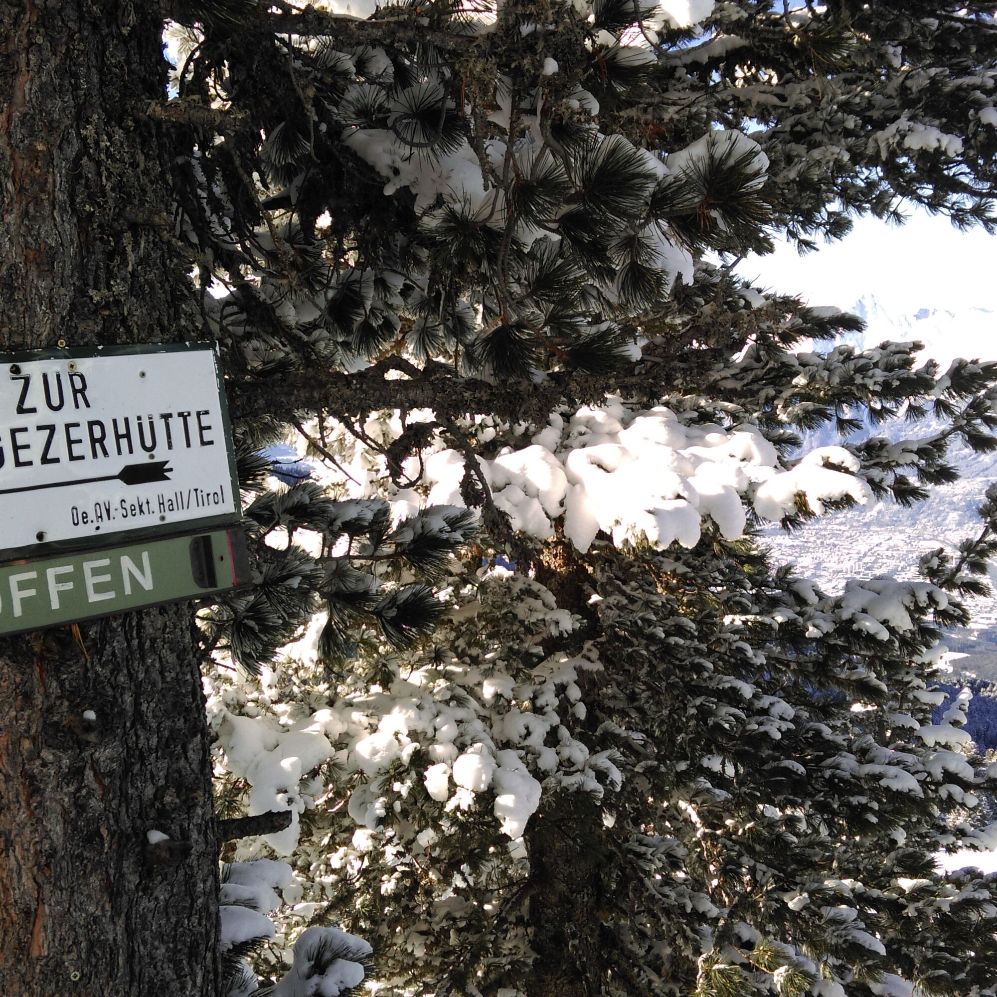
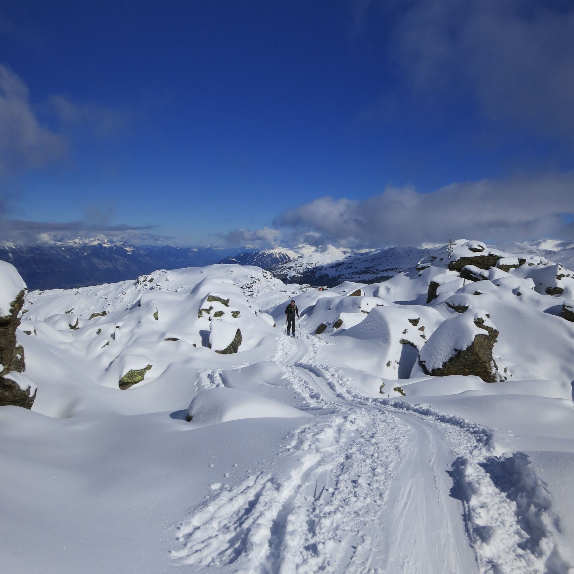
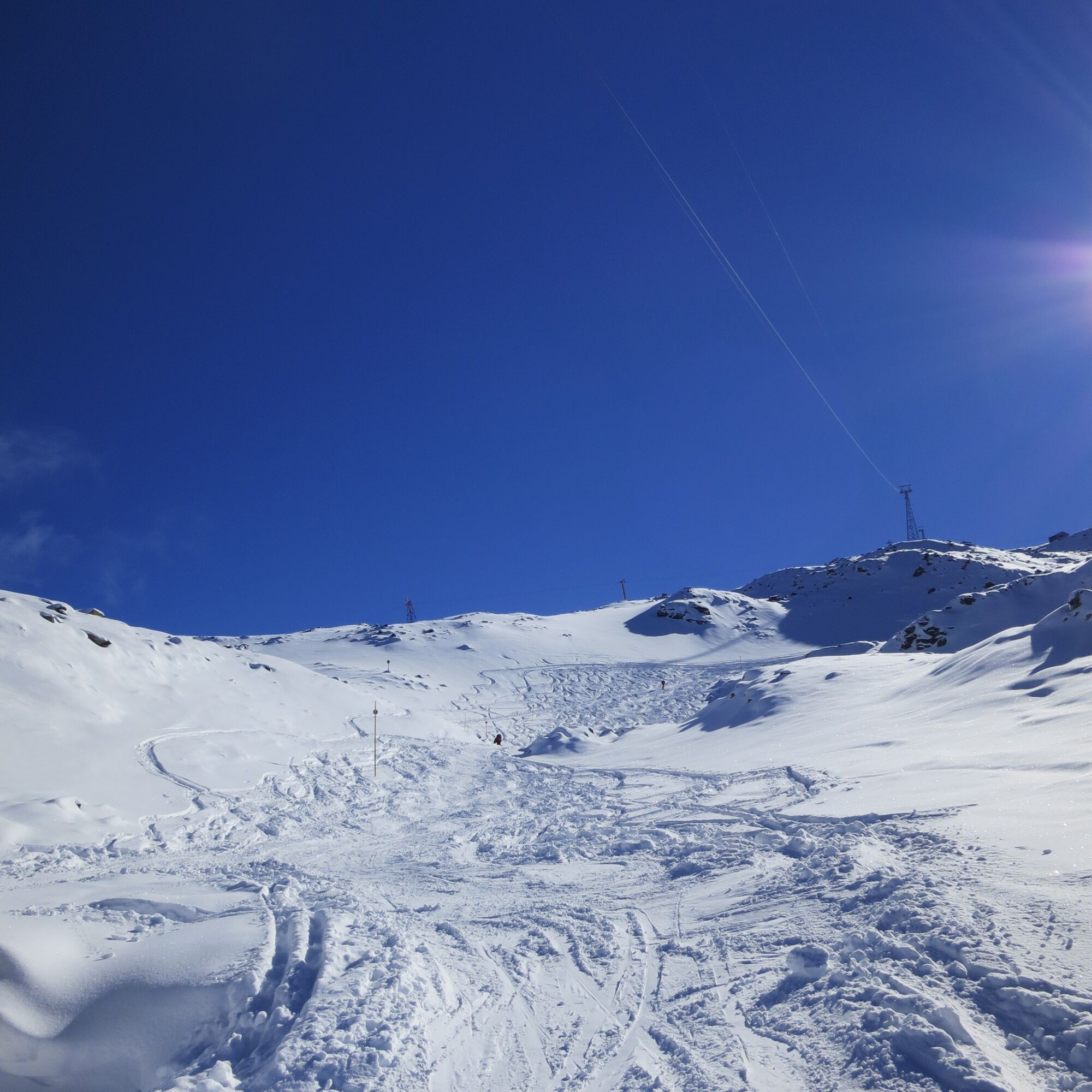
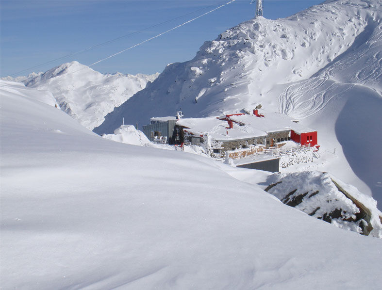
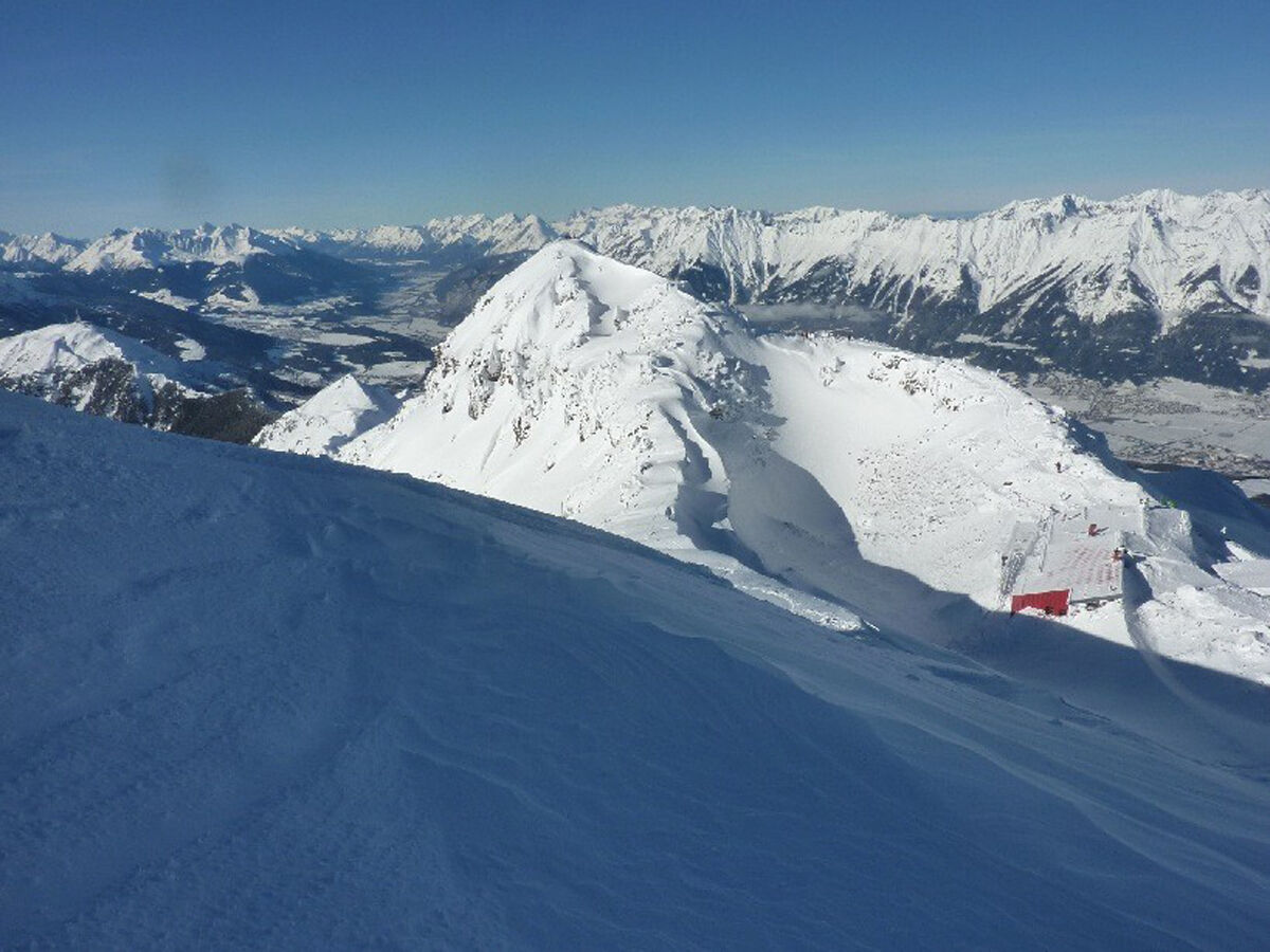
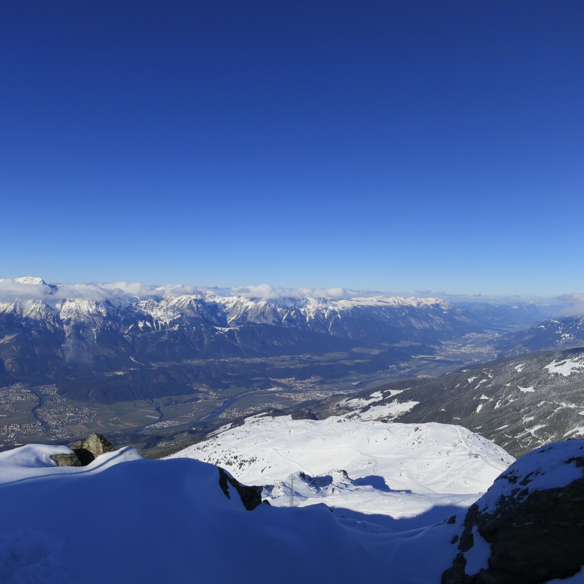

Depending on fitness and snow conditions, the starting point for climbing the Glungezer can be chosen almost arbitrarily in the area between Hall and Volders.
The general starting point is the mountain station at the junction to the slope „Kalte Kuchl“ and the Tulfein Alm at about 2035 meters.
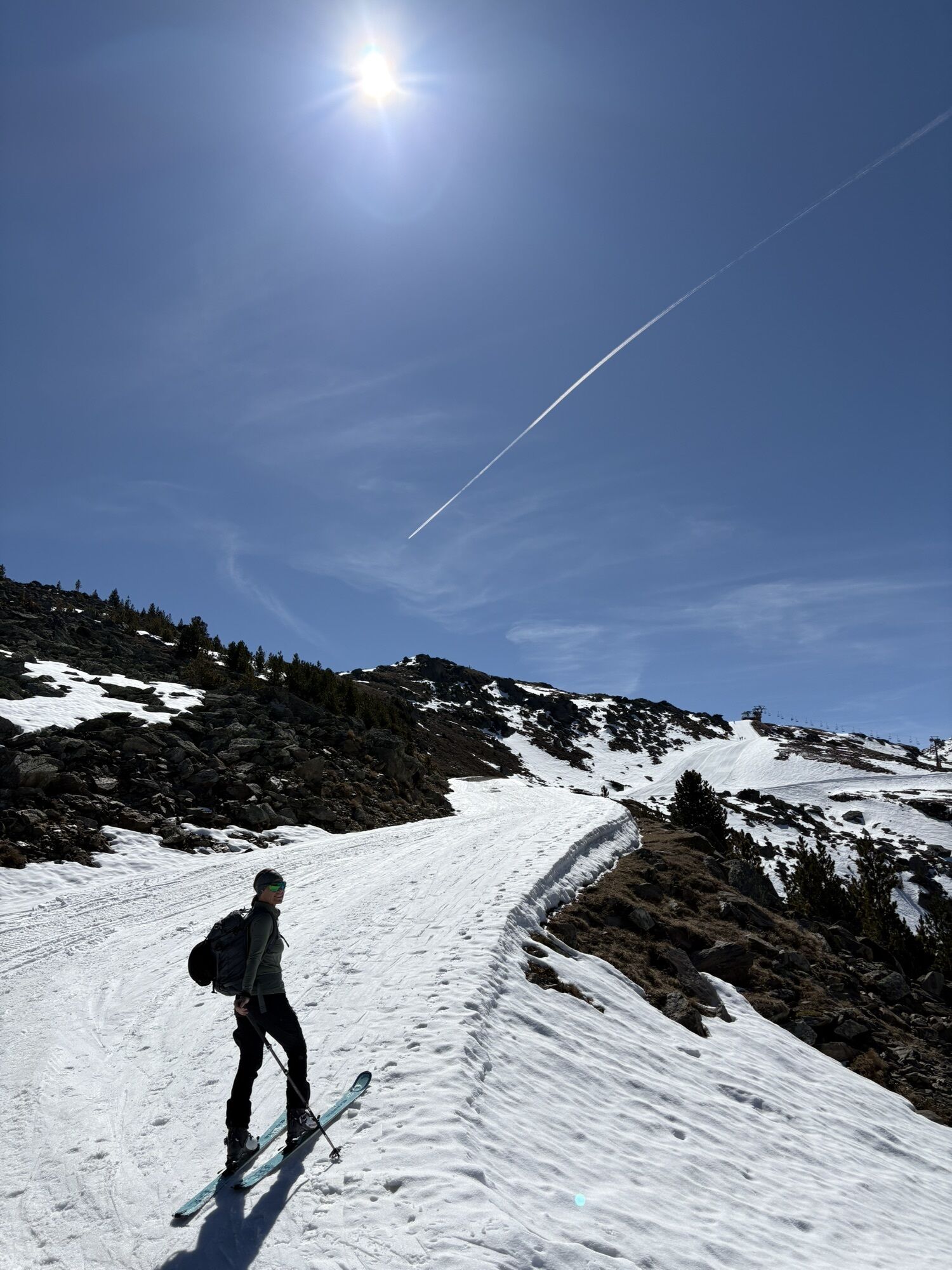
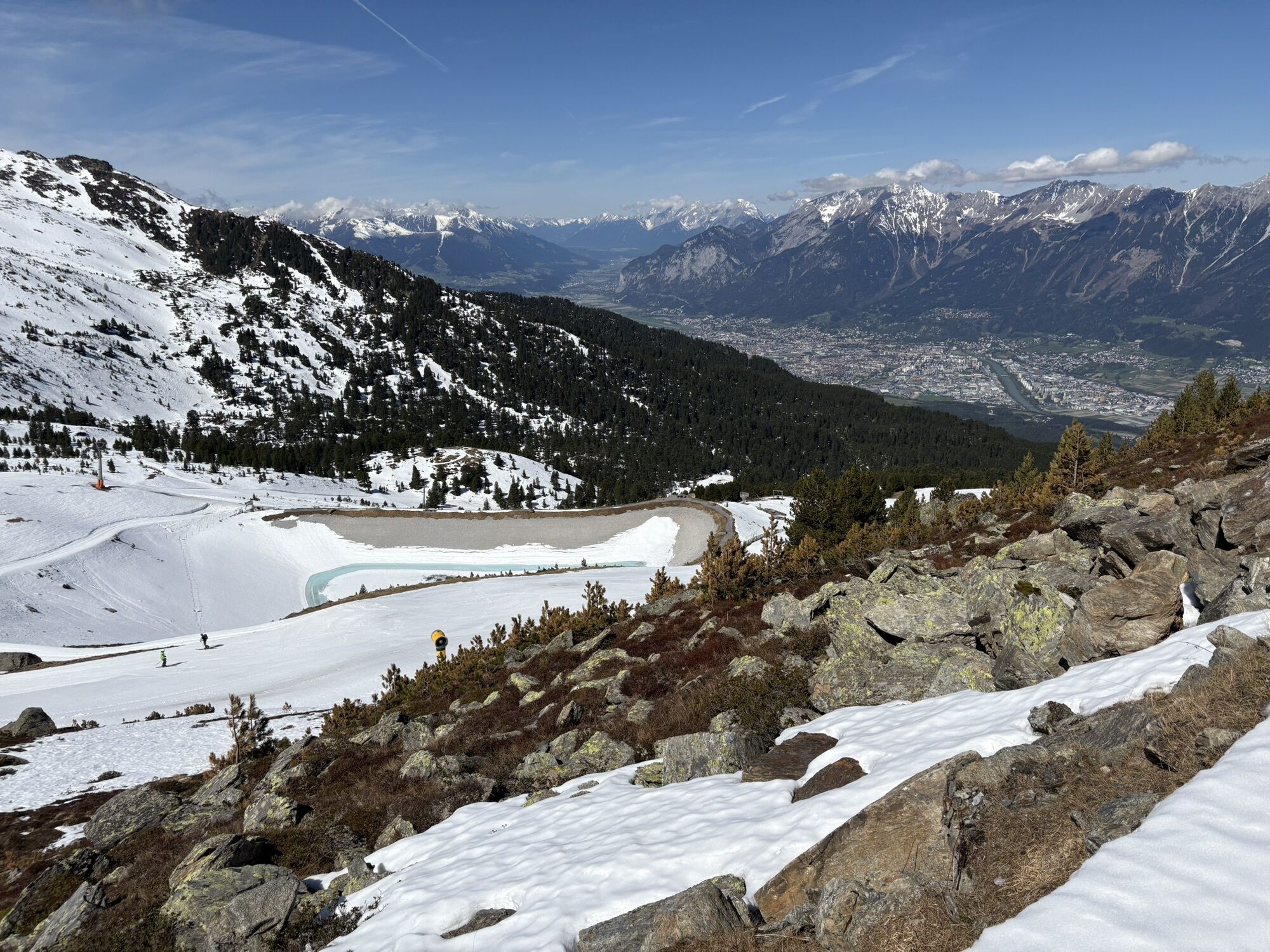
You follow the prepared slope up to just below the Schartenkogel (2,230 meters). To the right, the track runs through many hollows and small and larger inclines towards the summit. Below the highest point at around 2,560 meters, the track branches off to the east in the direction of the Glungezer hut. From here you continue on to the Glungezer (2,677 m).
The descent leads more or less next to the ascent track down to the slope, and to Tulfes the ski tourer can expect one of the longest and most beautiful descents in Tirol.
Áno
Áno
Hall Mitte - Tulfes
By line 540 to Tulfes Glungezer cable car
At the Glungezer cable car
Získajte prehľad
Vždy naživo na mieste s viac ako 9 500 webovými kamerami. bergfex Ako používateľ Pro si teraz môžete pozrieť príslušné webové kamery pre mnohé zájazdy v aplikácii zájazdy z. Môžete si tak priamo prezerať aktuálne podmienky.
Obľúbené výlety v okolí
-
4,7
Felix-Kuen via ferrata on the Hundskopf
ťažkéVia ferrata 2,18 km -
4,8
Seegrube - Hungerburg
strednáTuristika 5,04 km -
4,7
Patscherkofl
strednáTuristika 18,5 km -
4,6
To the scenic Hochmahdkopf
strednáTuristika 8,31 km -
4,5
Up to the Largoz
strednáTuristika 7,01 km -
3,8
To the alpine inn St. Magdalena in the Halltal
strednáTuristika 7,24 km -
4,8
Halltal - Bettelwurfhütte - Kleiner und Großer Bettelwurf
ťažkéVysoké turné 16,2 km -
4,9
3 Almen Karwendelrunde MTB Route 408
ťažkéMountainbike 23,8 km -
4,7
Muttereralm Skitourentrack
svetloSkitour 3,23 km -
4,0
Innsbruck/ Igls: Patscherkofel
Mountainbike 14,1 km
Turistika a stopovanie


Nenechajte si ujsť ponuky a inšpiráciu na ďalšiu dovolenku
Vaša e-mailová adresa bol pridaný do poštového zoznamu.





