


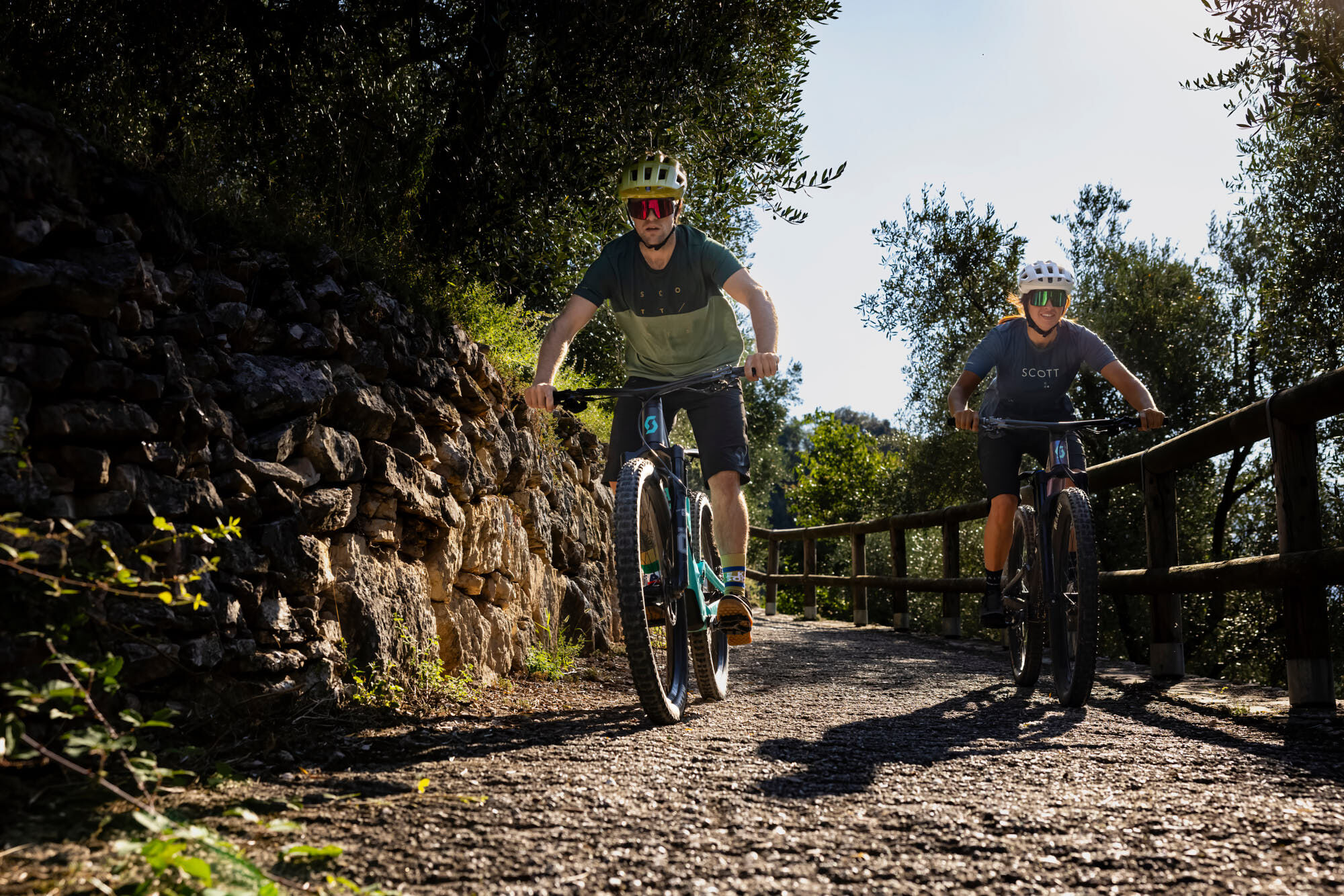
Bike Festival Test Trail – Easy
Úroveň náročnosti: S1
A pretty easy tour of 8.5 km and 200 m difference in level. It starts on the cycle path and then climbs, surrounded by olive trees, along secondary asphalt roads.
The slope is gradually increasing to...
A pretty easy tour of 8.5 km and 200 m difference in level. It starts on the cycle path and then climbs, surrounded by olive trees, along secondary asphalt roads.
The slope is gradually increasing to even reach 30%, ideal therefore to appreciate the assistance of engines, but remember, to avoid unpleasant breakdowns in transmission, be prepared with not hard gears. The descent is on an old unpaved road, which crosses the main road to Lake Tenno in several places.
Pay close attention during the descent to the various crossings of the main road.
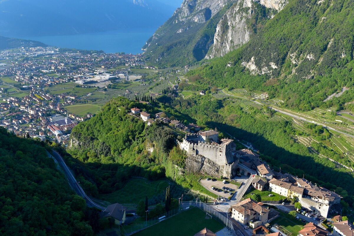
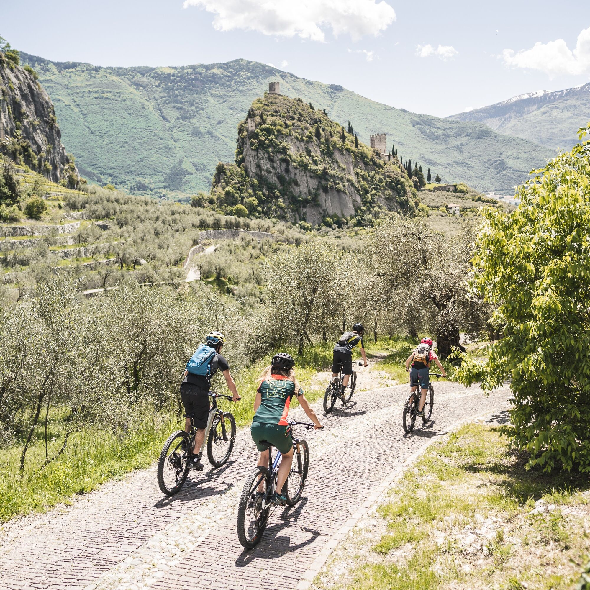
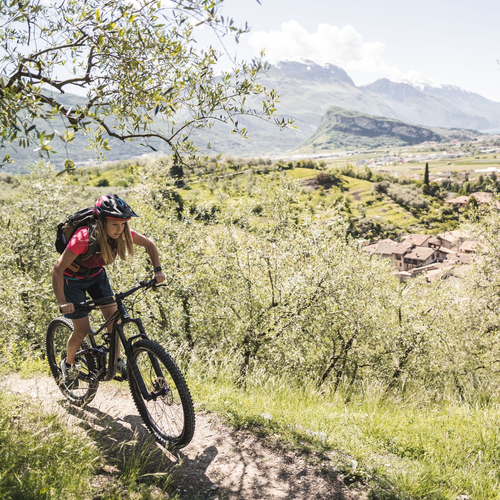
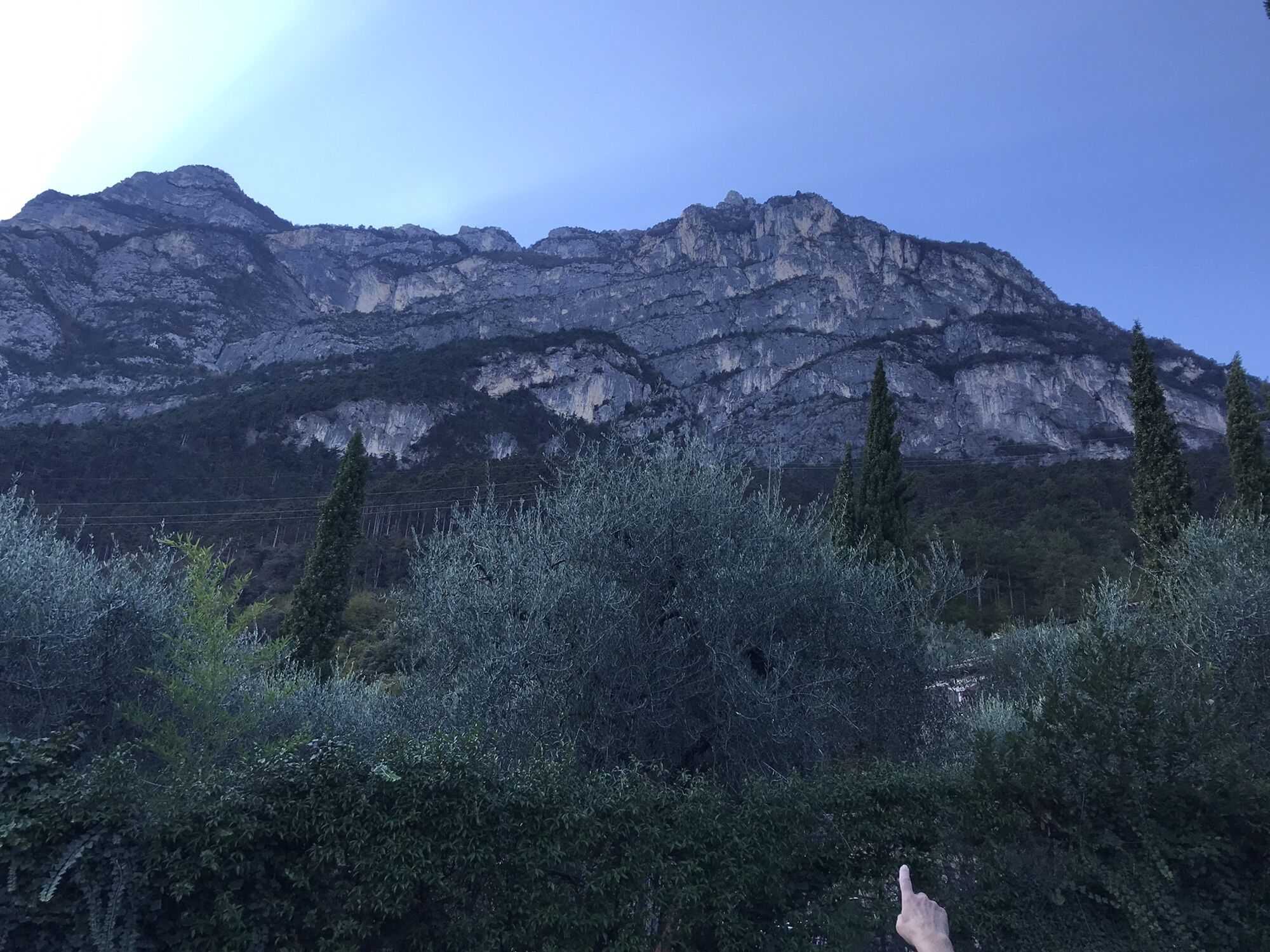
The start of the route is located near the Bike Festival Area. Follow the directions of route 731, of the Garda Trentino trails network moving away from the exhibition area, leaving the beaches and beginning to climb the course of water to the north. Cross Viale Rovereto and continue along the cycle path to Varone. Here, at the crossroads set by a traffic light keep the left and then immediately turn right, taking a secondary road, which leads you to overcome an old church. Near a fountain, turn to the right starting an ascent among the olive trees towards Deva. Reach the main road to Tenno, in the village of Deva. Here begins the descent, follow the route 373, which leads you to take the "cuts" of an old unpaved road, which brings you back to Riva del Garda admiring the Garda. Once reached the village Dom, near a hairpin bend, keep the right as indicated, continuing on a secondary road to San Giacomo. So keeping the right to the stop on via Ardaro you arrive back into Riva del Garda, the route starting point.
Riding your bike requires specific clothing and equipment, even for relatively short and easy trips. It is always better to be prepared… e.g. for bad weather or a sudden drop in your energy levels. The unexpected things are part of the fun!
Remember to thoroughly evaluate the type of route you plan on doing, the locations you intend to cross and the current season. Has it been raining? Attention: The paths may be slippery and require more caution.
What do I need to bring on my bike tour?
An adequate water supply according to your needs (considering temperature, possibility of refuelling and duration of the route) Plenty of snacks (for example, dried fruit or energy bars) Waterproof / Windproof jacket A spare top / spare socks (Descending in a sweaty garment, will make you cold). Suncream Sunglasses Bike gloves/mitts Map or GPS device Bike lights: best placed on your helmet or handlebars. (It is always best to be prepared) Bike repair kit for punctures and mechanical breakdowns First aid kit Emergency whistleIt is always advised to let someone know where you plan to go and how long you expect to be.
Emergency telephone number 112.
Safety Tips
Always wear your helmet. Plan your ride. You share the trail with other users. Yield right of way to hikers. Let your speed be determined by your experience. Ride slowly on crowded trails, overtake with politeness and respect. Cycle only on authorized and open trails. Avoid muddy trails in order not to damage them further. Respect public and private property. Always be self-sufficient. Do not cycle solo in remote areas.This information is subject to inevitable variations, so none of these indications are absolute. It is not entirely possible to avoid giving inexact or imprecise information, given how quickly environmental and weather conditions can change. For this reason, we decline any responsibility for changes which the user may encounter. In any case, it is advisable to check environment and weather conditions before setting out.
Find out how to reach Garda Trentino.
The main towns in Garda Trentino - Riva del Garda, Arco, Torbole sul Garda, Nago – are connected by several urban and intercity bus lines which will take you to the starting point of tours or in the immediate surroundings.
You can also get to Riva del Garda and Torbole sul Garda by the public ferry service.
Up-to-date information on timetables and routes.
Parking near the former hospital (Via Rosmini)
Paid parking: Terme Romane (Viale Roma), Vecchia stazione (Largo Medaglie d’Oro), Ex-agraria (Via Lutti).
S1
You will face the view over Lake Garda, while descending back to Riva del Garda
Obľúbené výlety v okolí
-
5,0
Bastione and Santa Barbara, the lords of Riva del Garda
strednáTuristika 2,94 km -
5,0
Via Ferrata Signora delle Acque - Rio Ruzza
ťažkéVia ferrata 5,32 km -
4,8
Via Ferrata Rio Sallagoni
strednáVia ferrata 2,75 km -
4,8
Bocca Fortini - Tour
ťažkéMountainbike 35,4 km -
4,8
Via Ferrata Fausto Susatti - Cima Capi (from Ledro)
strednáVia ferrata 7,11 km -
4,7
Sentiero Busatte Tempesta
svetloTuristika 7,90 km -
4,6
Via Ferrata delle Laste e Gallerie di Cima Rocca
svetloVia ferrata 6,38 km -
4,5
Walking around Lake Ledro
svetloTuristika 9,40 km -
4,9
Via Ferrata dell’Amicizia - Cima SAT
strednáVia ferrata 4,41 km -
4,3
Tremalzo Big - Tour
ťažkéMountainbike 45,6 km
Turistika a stopovanie


Nenechajte si ujsť ponuky a inšpiráciu na ďalšiu dovolenku
Vaša e-mailová adresa bol pridaný do poštového zoznamu.