


Stellune Lake


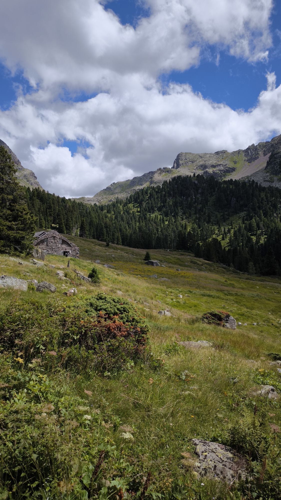
Val Cadino and its luxuriant forests are the destination for those who love being in solitude and enjoying the silence of nature. However, the chirping of birds, perhaps the unmistakable sound of the woodpecker...
Val Cadino and its luxuriant forests are the destination for those who love being in solitude and enjoying the silence of nature. However, the chirping of birds, perhaps the unmistakable sound of the woodpecker and the sound of the wind in the branches of the trees will not be missing. The itinerary is also used by walkers with snowshoes.

ASCENT: Take the forest road past a small crucifix on the right and enter the majestic forest of Val Cadino. Go past Malga Stue Bassa and Malga Stue Alta until you reach Malga Cazzorga, located in a beautiful sunny position.
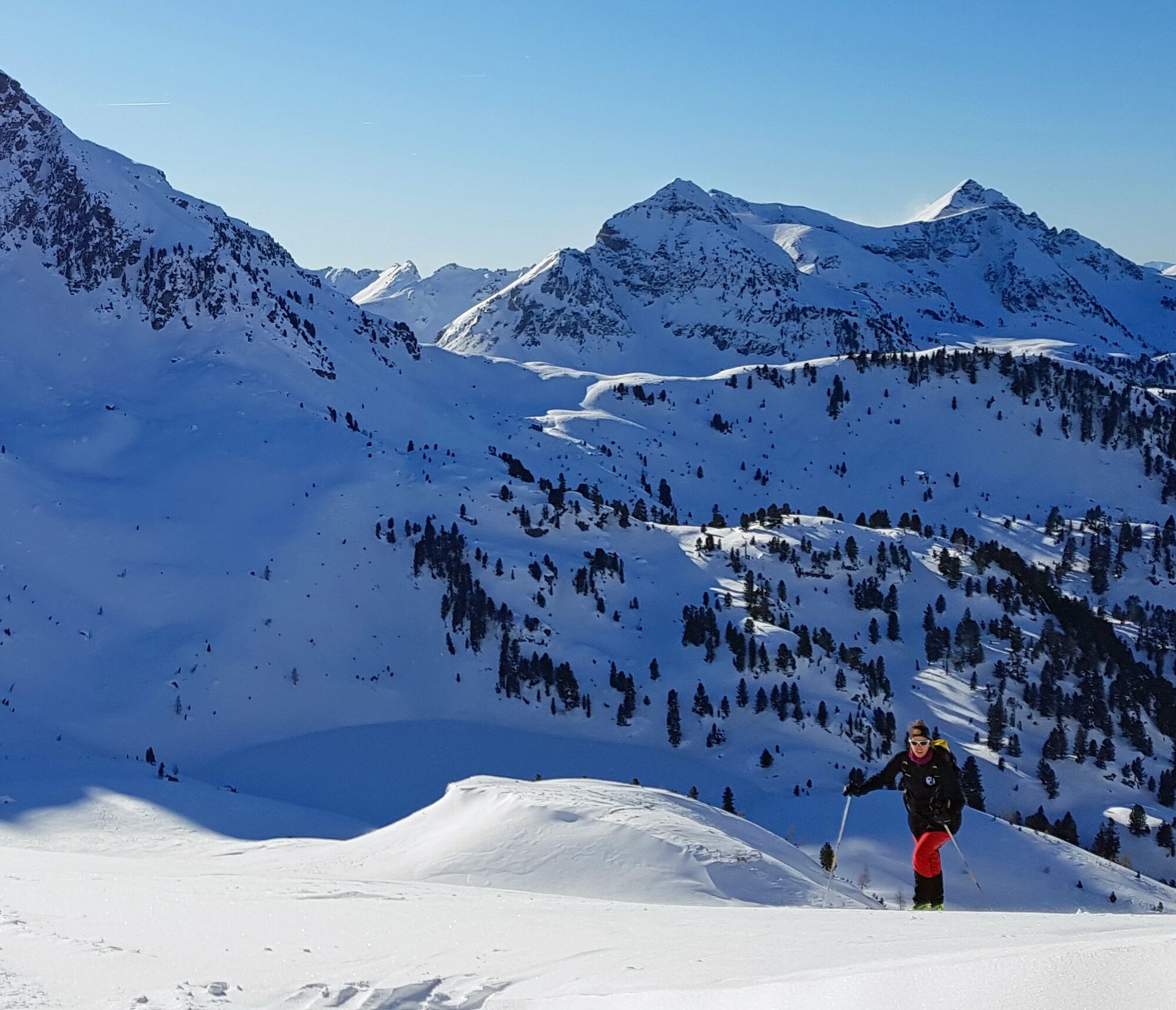
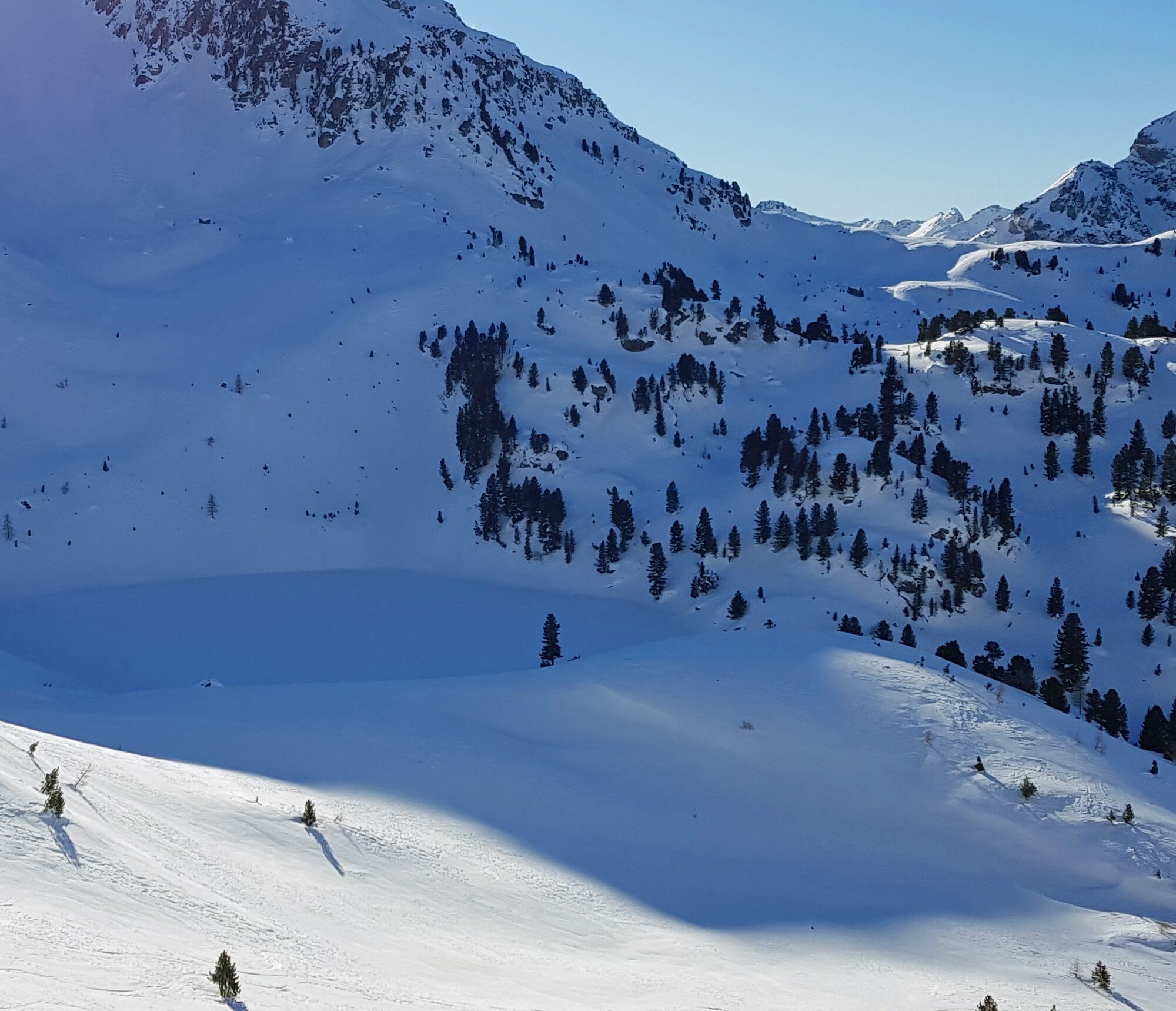
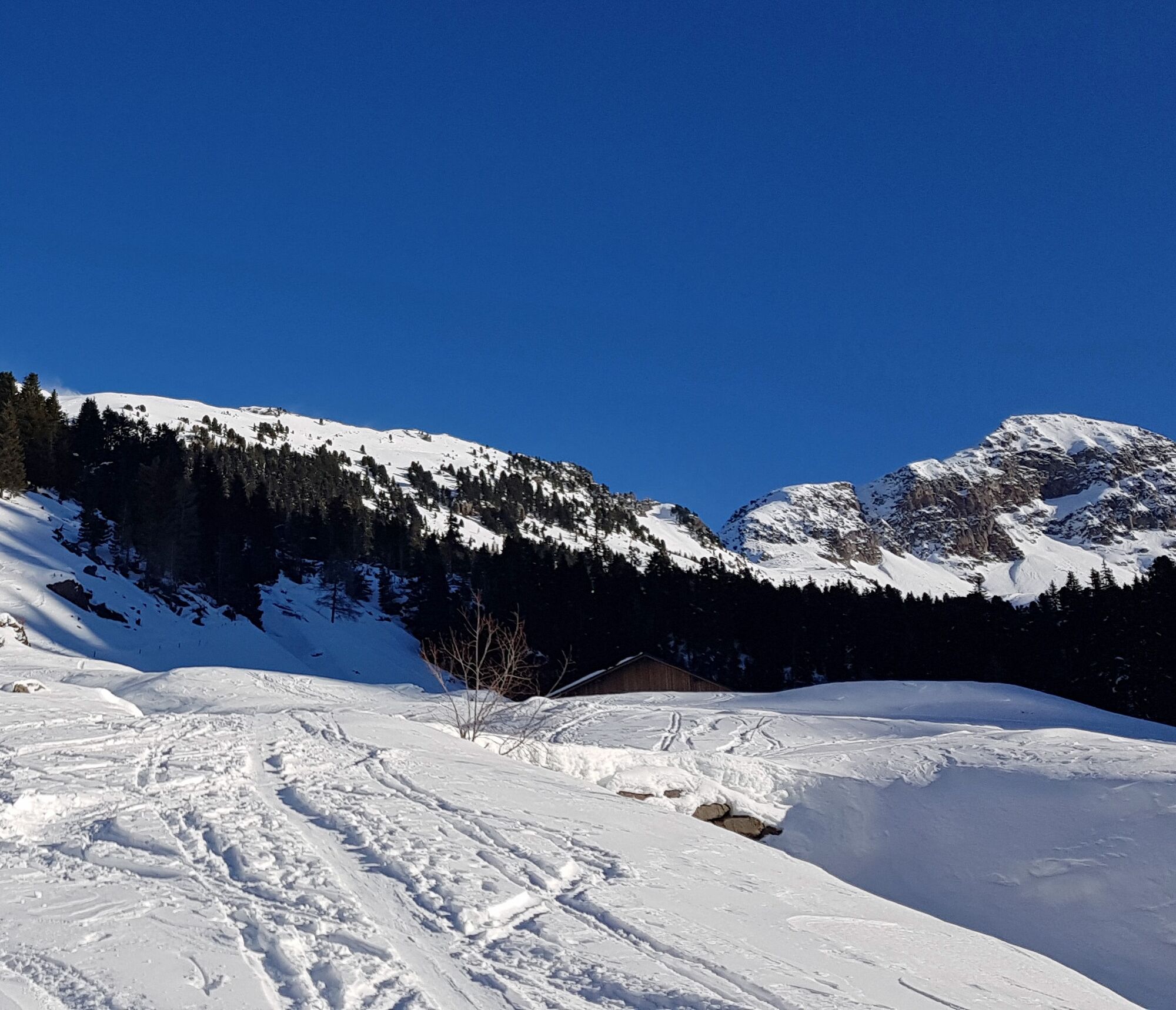
Continue on the mule track to the left of the hut going up among imposing pine trees. At the end of the steep stretch, the majestic Cima Stellune stands out on the left while the Montalon can be seen on the right. You reach a plateau to the right of which, in a lower position, you can see the white and flat surface that hides the Stellune Lake.
DESCENT: by the same route
For all ski-mountaineering activities, the proper apparel is strongly recommended. Skiers must bear in mind that temperatures can dip quickly and garments should also be suitable for snowy conditions (such as waterproof Gore-Tex jackets). Furthermore, gloves, cap, sun glasses and sun cream should also form part of every off-piste skier’s basic gear.
It’s COMPULSORY to carry with you an avalanche rescue kit consisting of avalanche transceiver, probe and shovel (this is also available for rent). In the case of hard snow cover or ice, ski crampons are recommended.
Remember, snowpack stability is subject to sudden and unforeseeable changes and shifts. Always check the local avalanche bulletin (www.meteotrentino.it or any other service that suits your needs) before departure and make sure you gather all possible information concerning current conditions by calling the Mountain Guides.
GPS routes are merely indicative of the more reasonable track but must not be followed blindly without first checking current slope and terrain conditions.
THE 10 RULES FOR HIKERS
Prepare your itinerary beforehand Choose an itinerary that suits your physical abilities Choose suitable clothes and equipment Check the weather forecast Hiking by yourself is more risky; if this is the case, take a mobile phone with you Leave information about your itinerary and your expected return time If you are not sure about your itinerary, contact an Alpine Guide Pay attention to signposts and directions that you find along your way Do not hesitate in going back if you feel too tired In case of emergency call 112
From Molina di Fiemme, follow the sign to Passo Manghen and drive until you reach Ponte Stue (1.252 m), where the snow clearing ends.
Leave your car before or after the bridge.
APT Val di Fiemme - Tel. +39 0462 241111 - info@visitfiemme.it - www.visitfiemme.it
Enjoy the view of the surrounding peaks, the arrival point is just below the imposing Cimon delle Stellune.
Obľúbené výlety v okolí
-
5,0
Tour of Monte Cornon
strednáTuristika 7,65 km -
5,0
Cima d’Asta (vetta via normale)
strednáTuristika 17,5 km -
4,0
Buse Lake
strednáTuristika 11,6 km -
CermiSkyline
strednáVia ferrata 6,77 km -
Malga Monte Corno
strednáTuristika 10,3 km -
5,0
Alpe Cermis
strednáTuristika 6,81 km -
Cima Cauriol: a symbol of the First World War
ťažkéTuristika 14,5 km -
5,0
Frotten-lago di Erdemolo-rif.Sette Selle
strednáTuristika 11,4 km -
Ijsmeertje. Lago Erdemolo. Palù del Fersina, Trentino-Alto Adige/Italia
strednáTuristika 8,81 km -
5,0
Fiemme cycle route
svetloCyklistika 20,0 km
Turistika a stopovanie


Nenechajte si ujsť ponuky a inšpiráciu na ďalšiu dovolenku
Vaša e-mailová adresa bol pridaný do poštového zoznamu.