

© Alpenregion Bludenz Tourismus GmbH - Melanie Fleisch

© Alpenregion Bludenz Tourismus GmbH - Melanie Fleisch

© Alpenregion Bludenz Tourismus GmbH - Melanie Fleisch

© Alpenregion Bludenz Tourismus GmbH - Melanie Fleisch

© Alpenregion Bludenz Tourismus GmbH - Melanie Fleisch

© Alpenregion Bludenz Tourismus GmbH - Melanie Fleisch

© Alpenregion Bludenz Tourismus GmbH - Melanie Fleisch

© Vorarlberg Tourismus GmbH
- Stručný popis
-
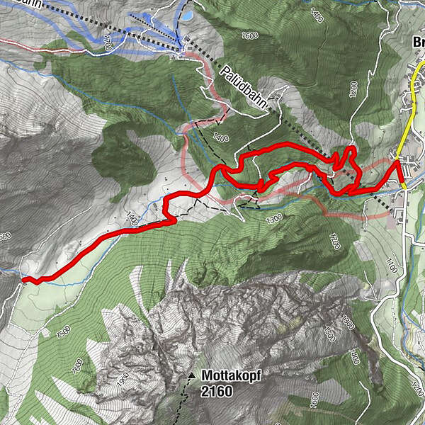
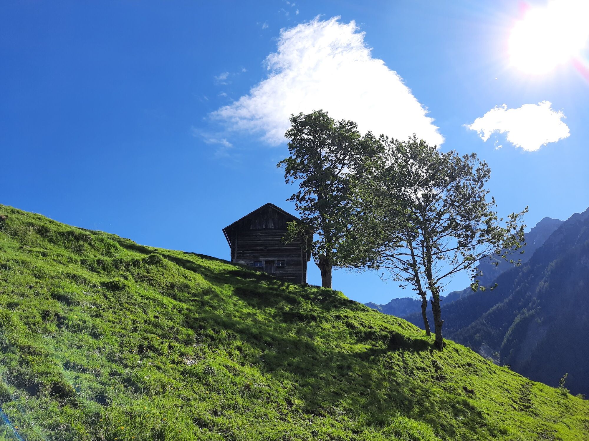
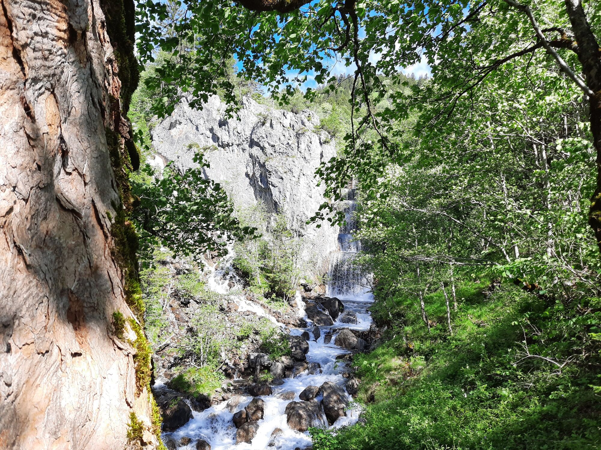
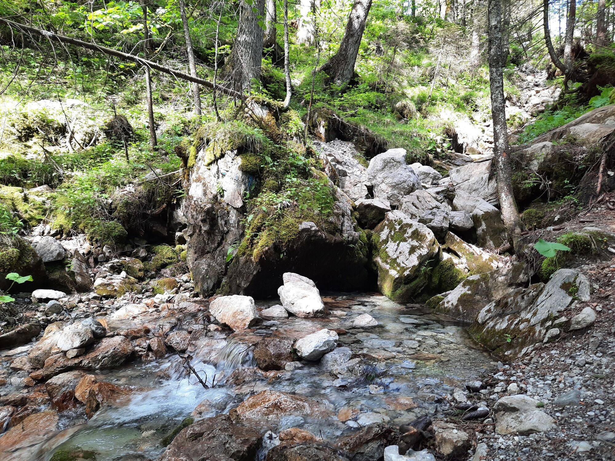
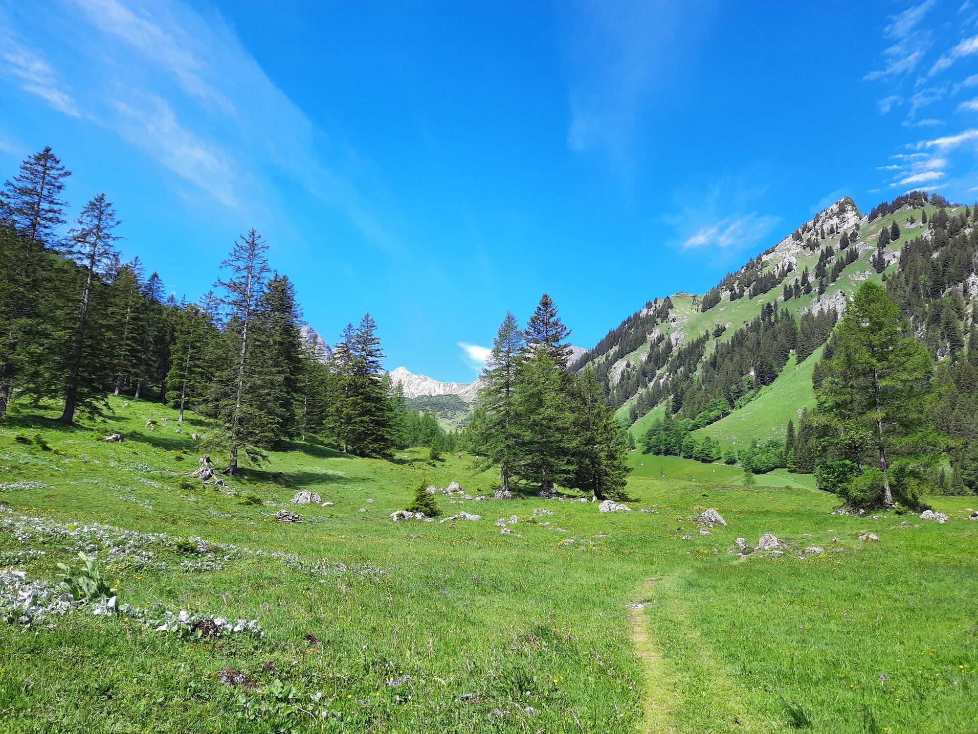
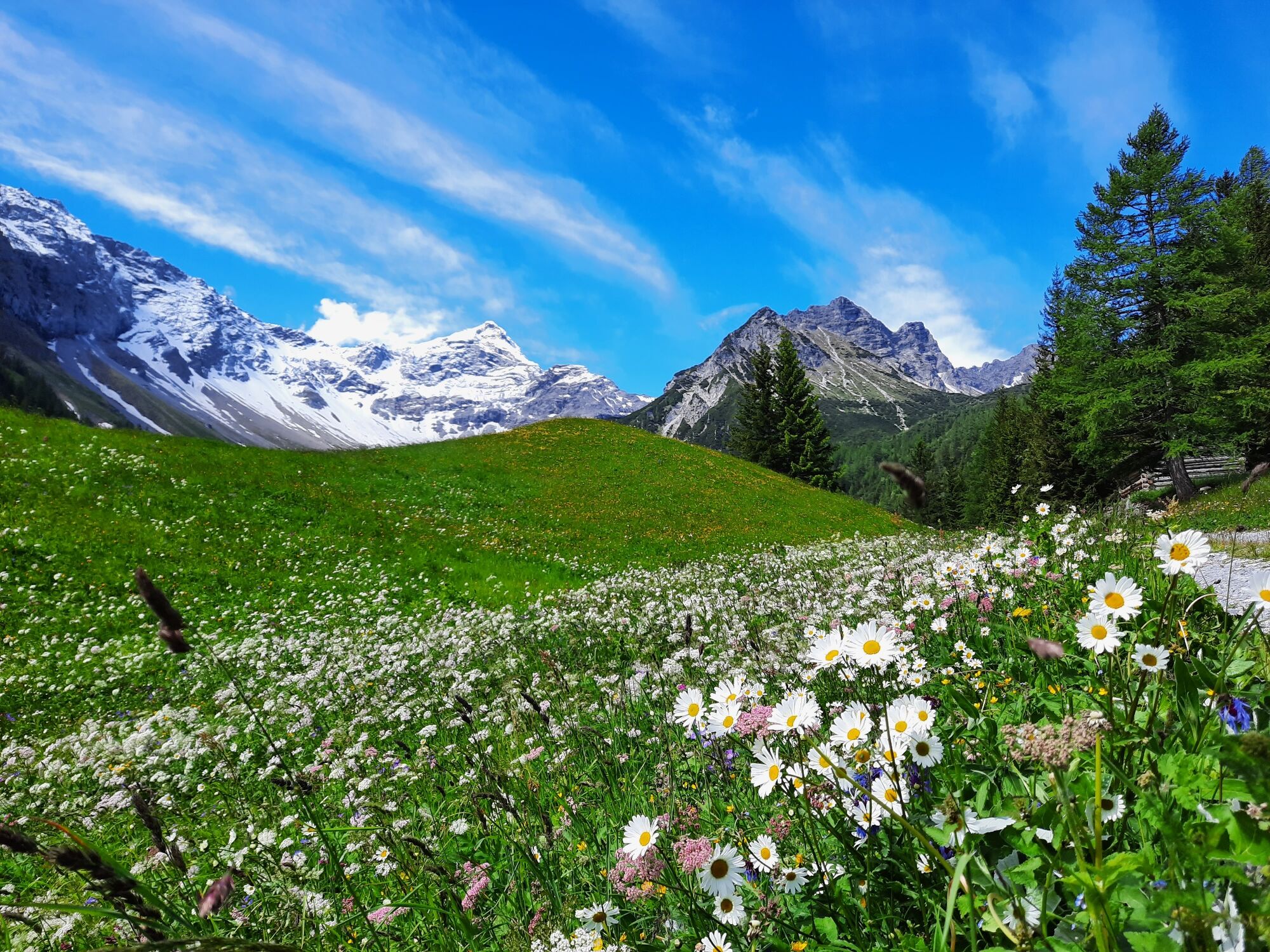
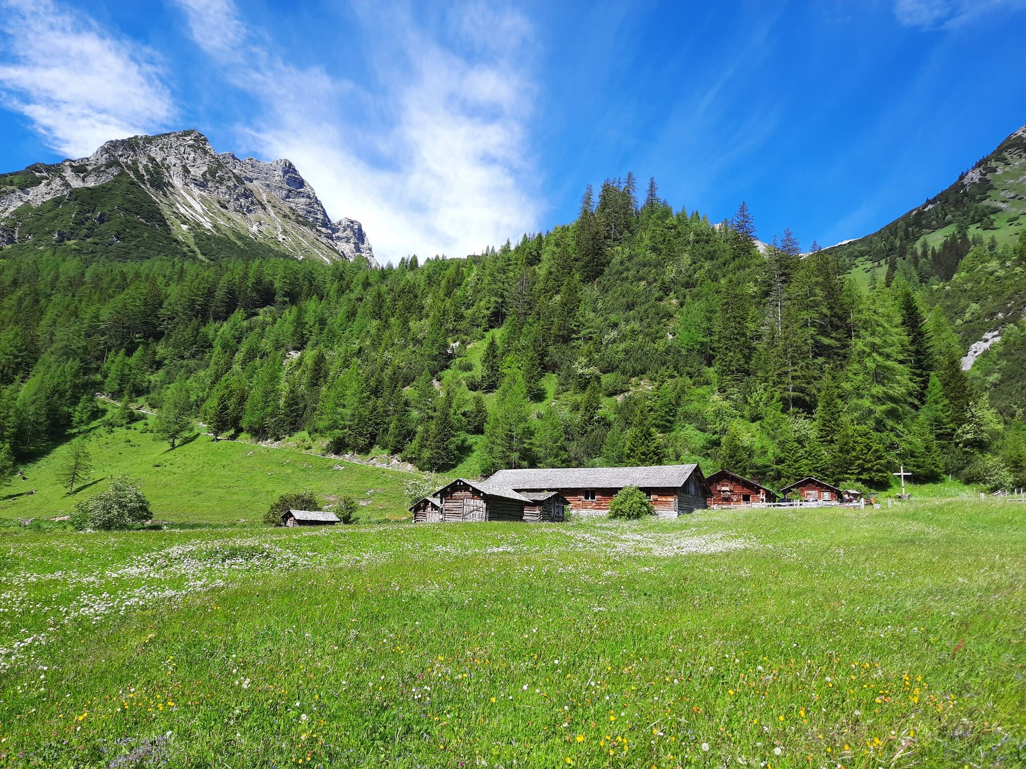
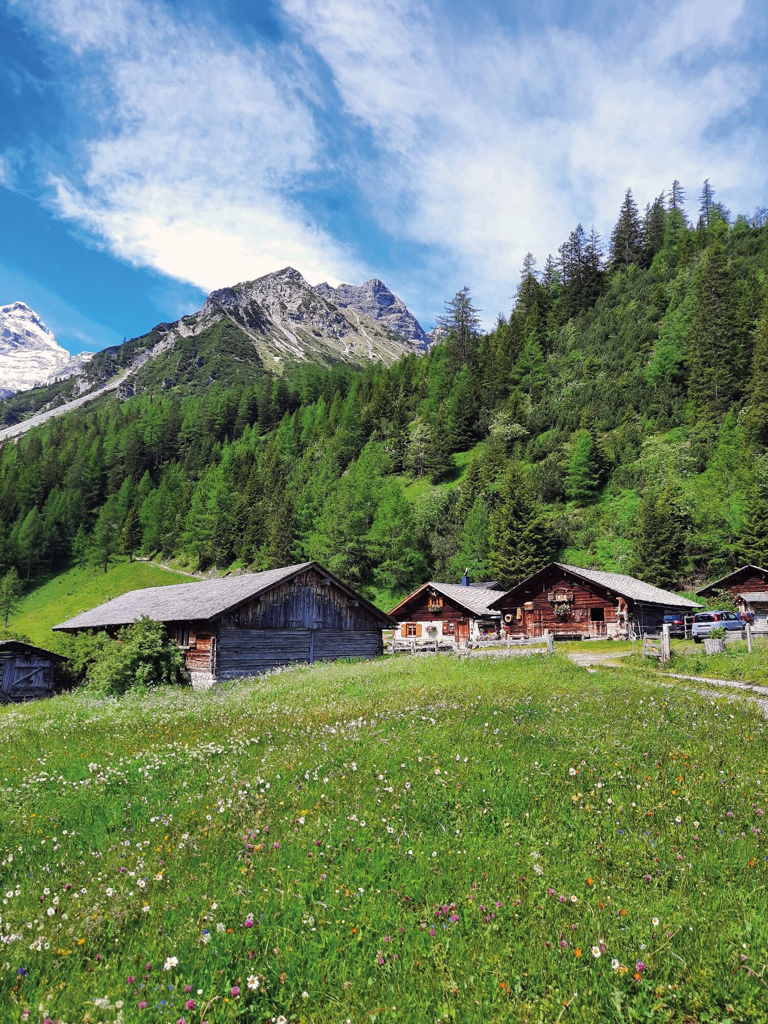
Hike through the unspoiled Zalim valley past the Glingabrunnen fountain to the Untere Brüggele Alpe.
- Obtiažnosť
-
ľahká
- Hodnotenie
-
- Trasa
-
Untere Brüggele Alp (1.469 m)3,5 km
- Najlepšia sezóna (ročné obdobie)
-
janfebmaraprmájjúnjúlaugsepoktnovdec
- Najvyšší bod
- 1.465 m
- Cieľová destinácia
-
Innertal, Brand
- Profil nadmorskej výšky
-

- Autor
-
Prehliadka To the Untere Brüggele Alpe | Brand používa outdooractive.com na stránke ..
GPS Downloads


Všeobecné informácie
Zastávka s občerstvením
S výhľadmi
Ďalšie prehliadky v regiónoch
-
Heidiland
2201
-
Brandnertal
1567
-
Brand
431


