

© Bodensee-Vorarlberg Tourismus GmbH - Erich Zucchali / www.guideservice.at

© w - Erich Zucalli

© www.guideservice.at - Erich Zucalli

© www.guideservice.at - Erich Zucalli

© www.guideservice.at - Erich Zucalli

© www.guideservice.at - Erich Zucalli

© www.guideservice.at - Erich Zucalli

© www.guideservice.at - Erich Zucalli

© www.guideservice.at - Erich Zucalli

© www.guideservice.at - Erich Zucalli

- Stručný popis
-
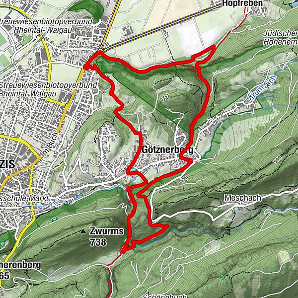
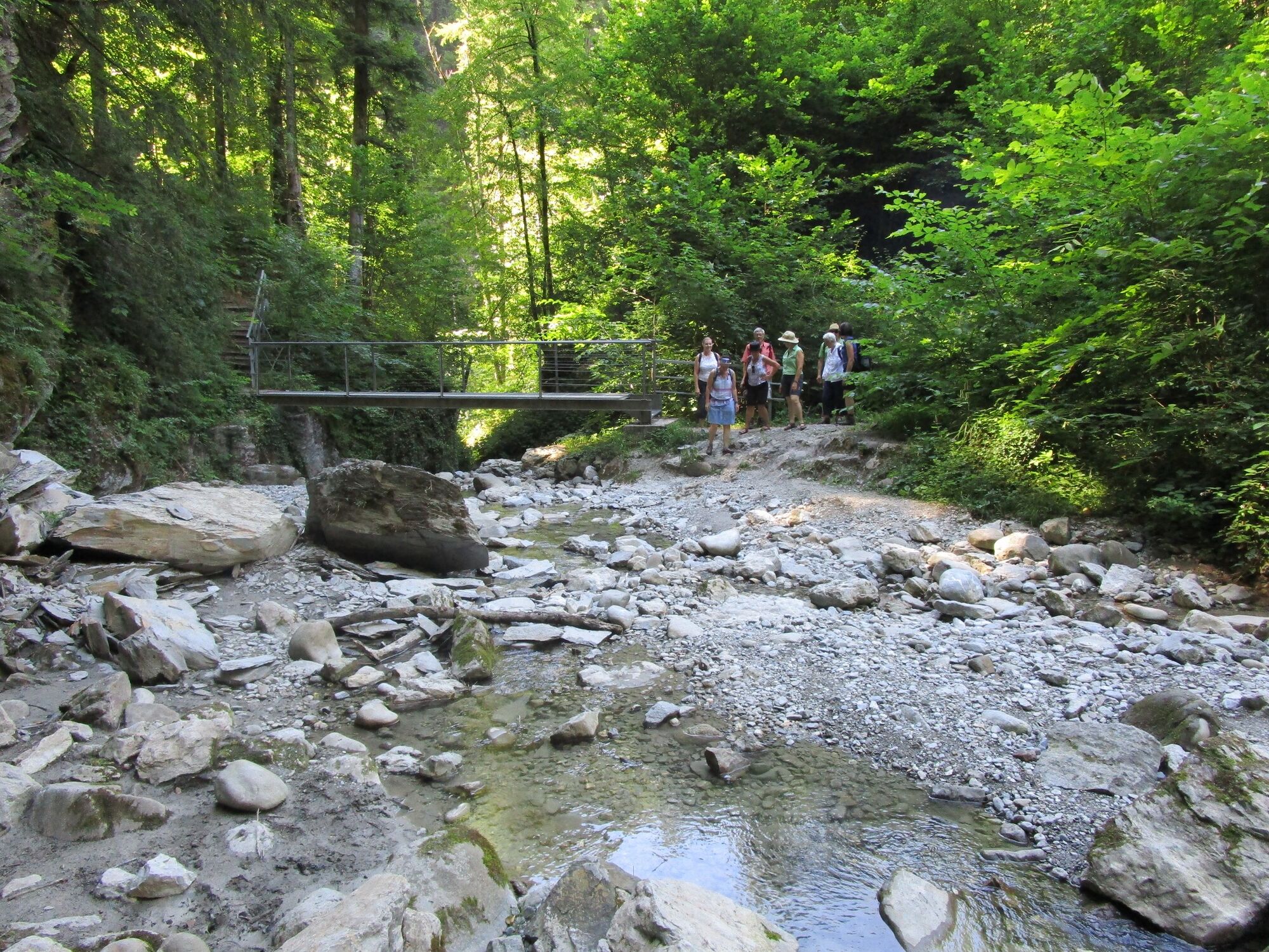
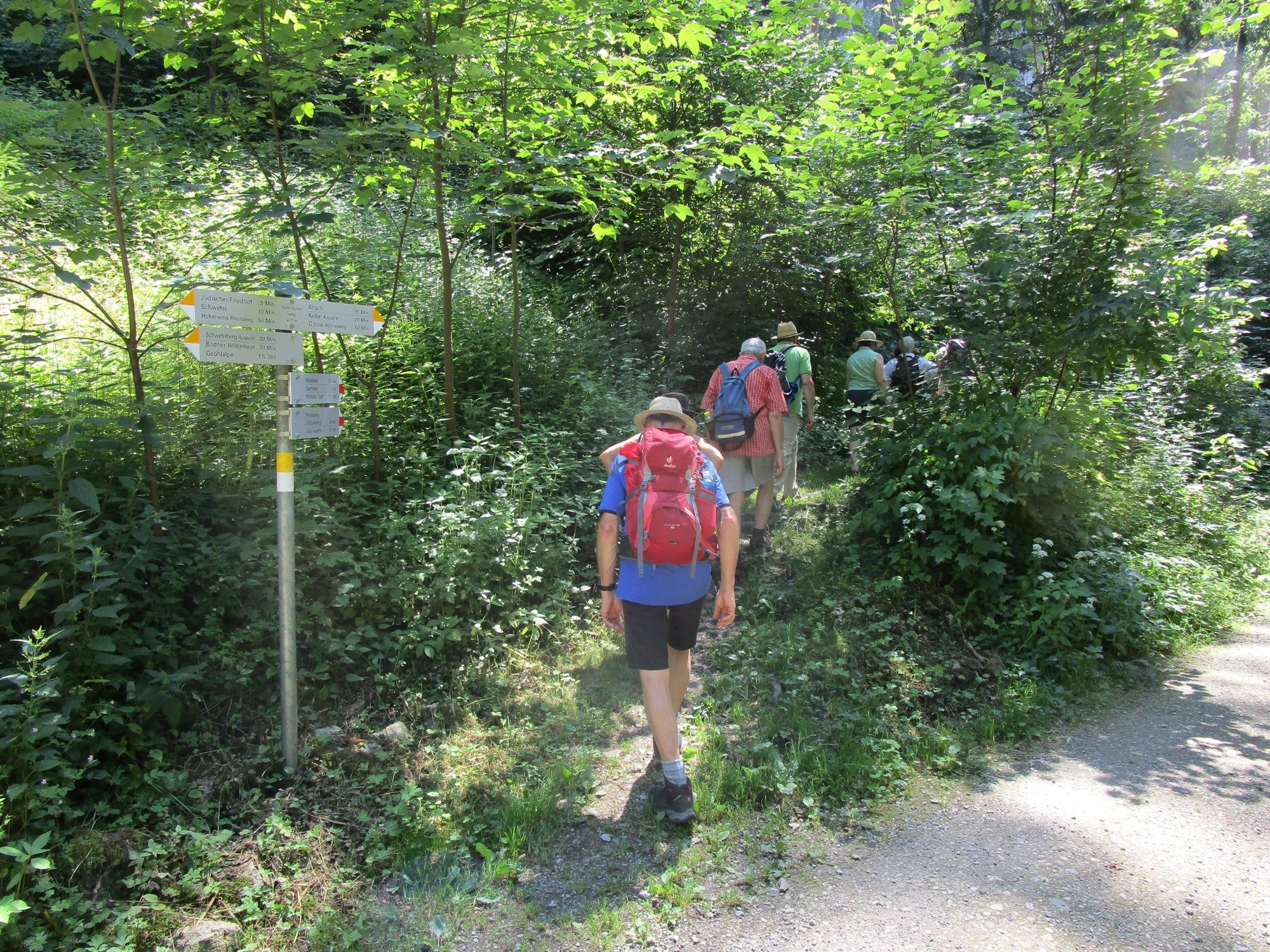
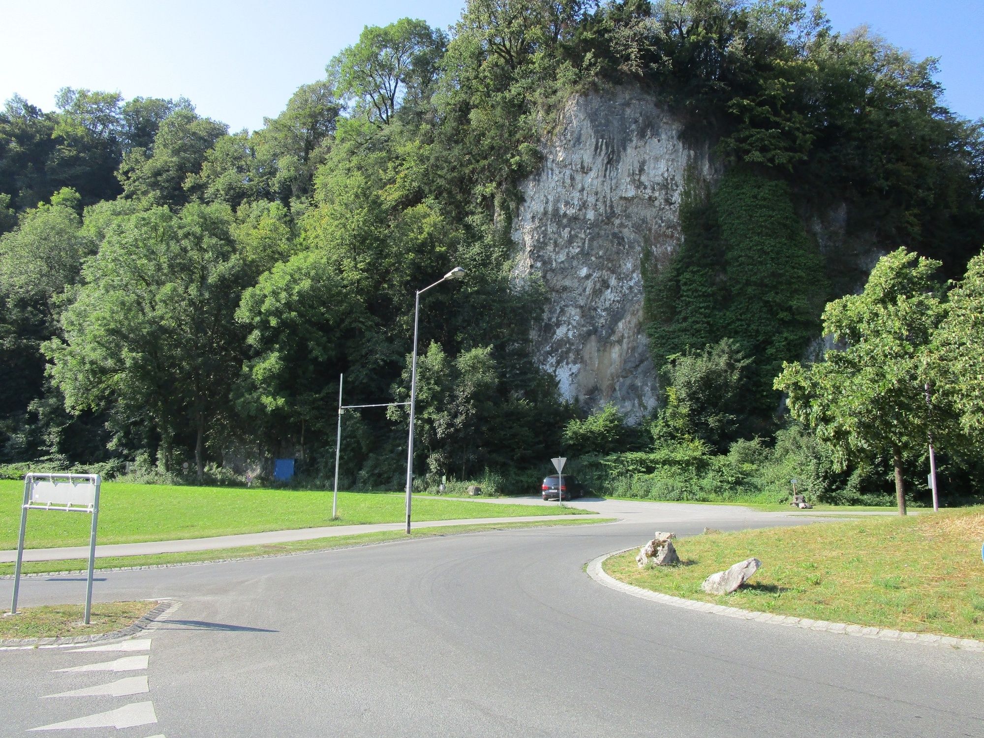
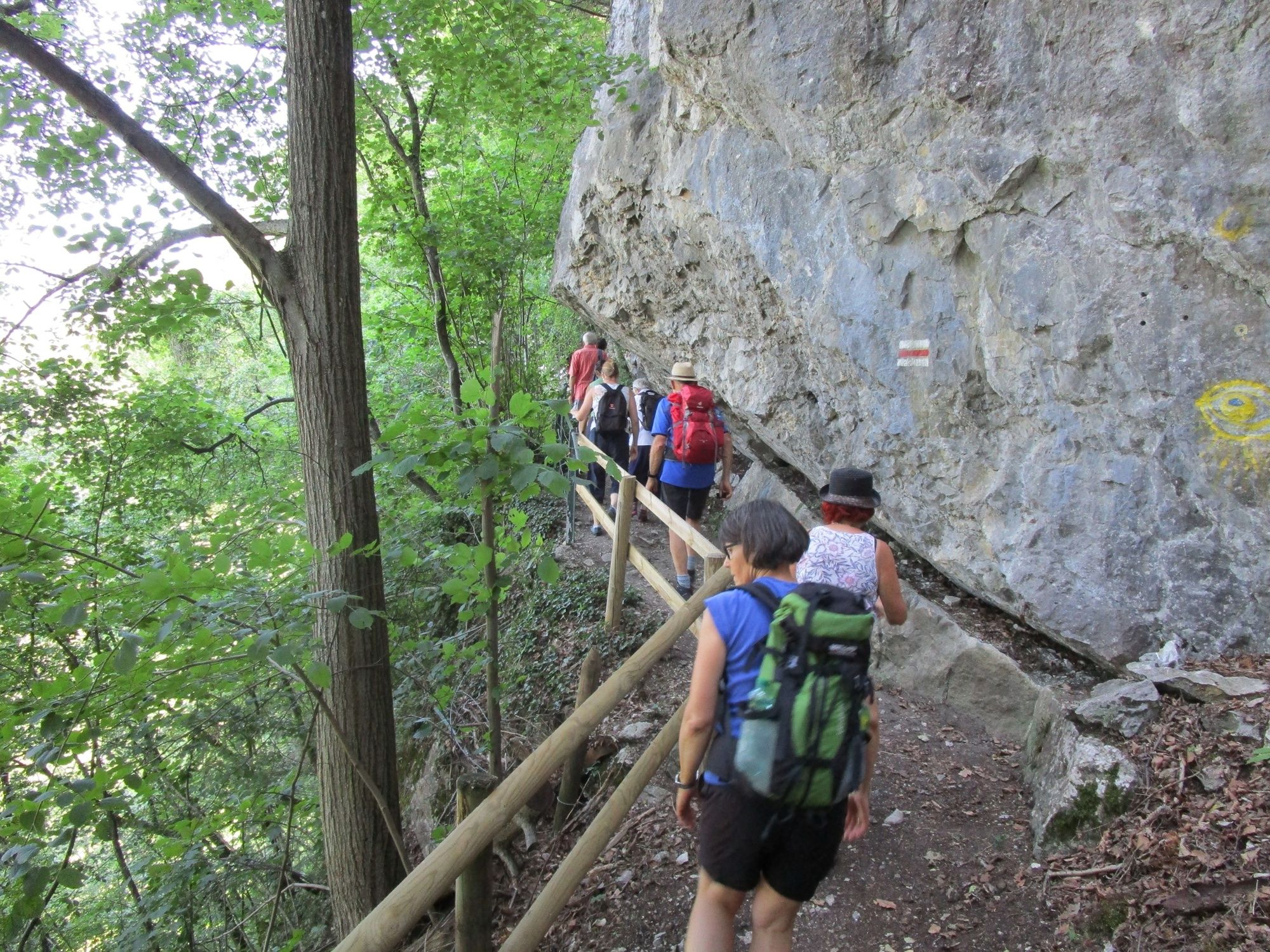
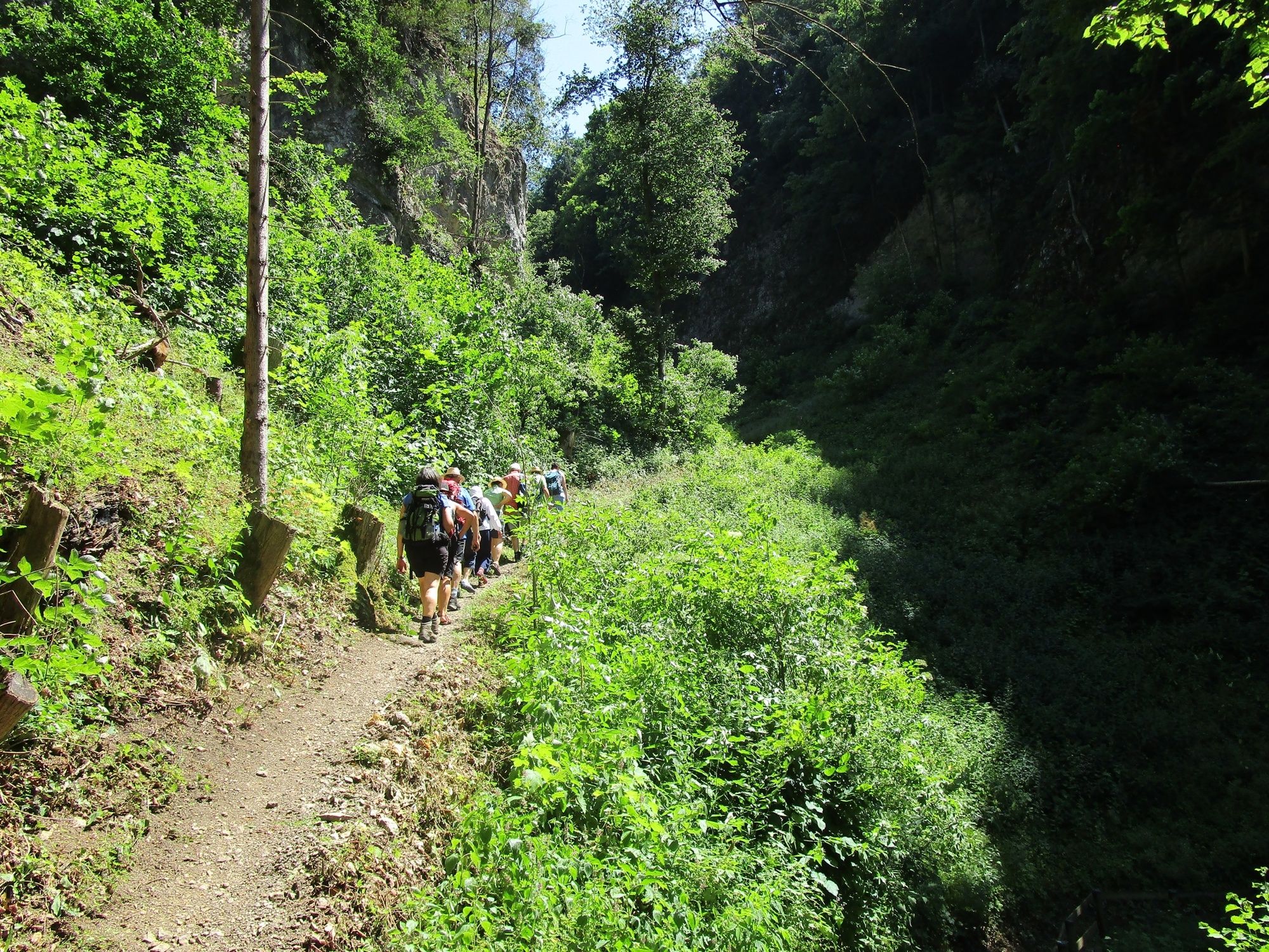
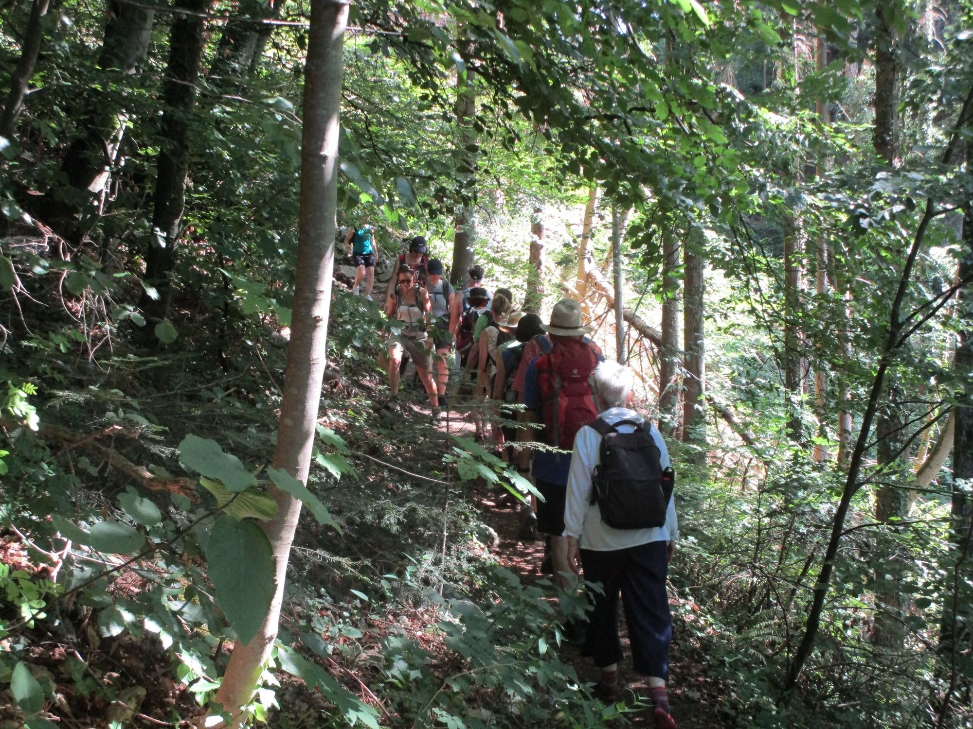
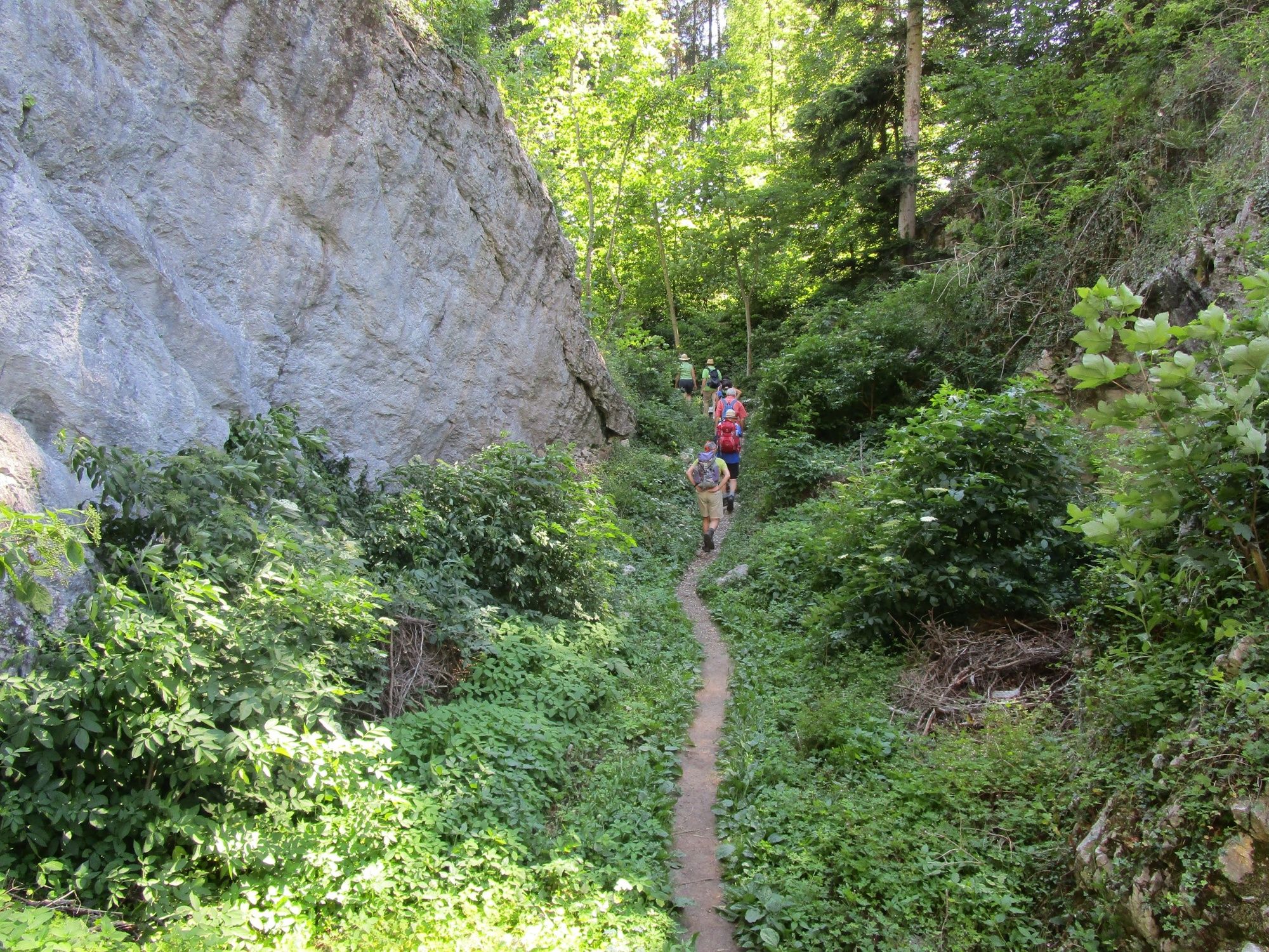
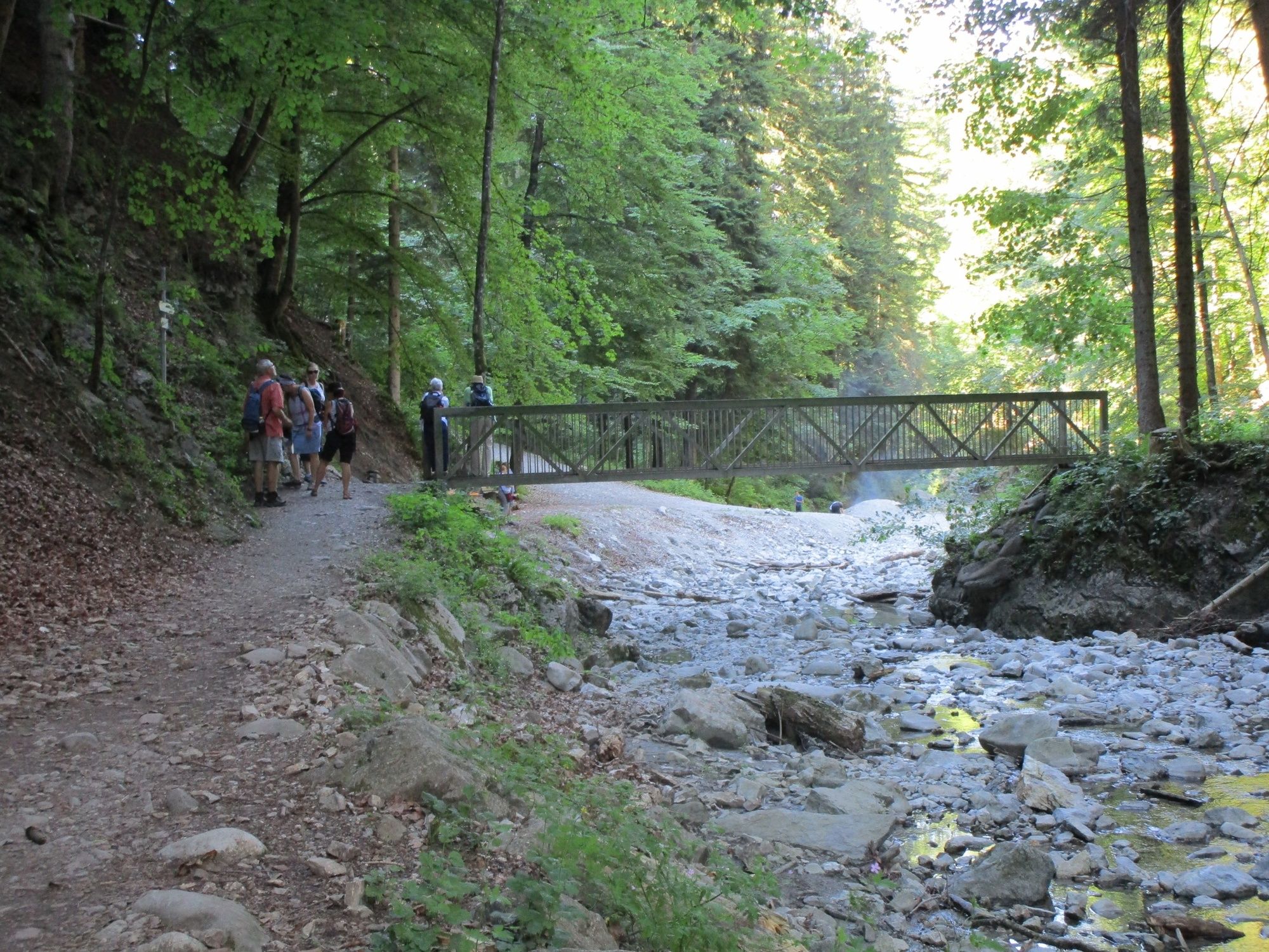
A hike into the past: across the Ur-Ill’s gorge created at the edges of the ice and the Fallenkobelweg to the Örflaschlucht (gorge). Back up to Rütte to return along the Lusbühlweg to the starting point, the Kobel.
- Obtiažnosť
-
ľahká
- Hodnotenie
-
- Trasa
-
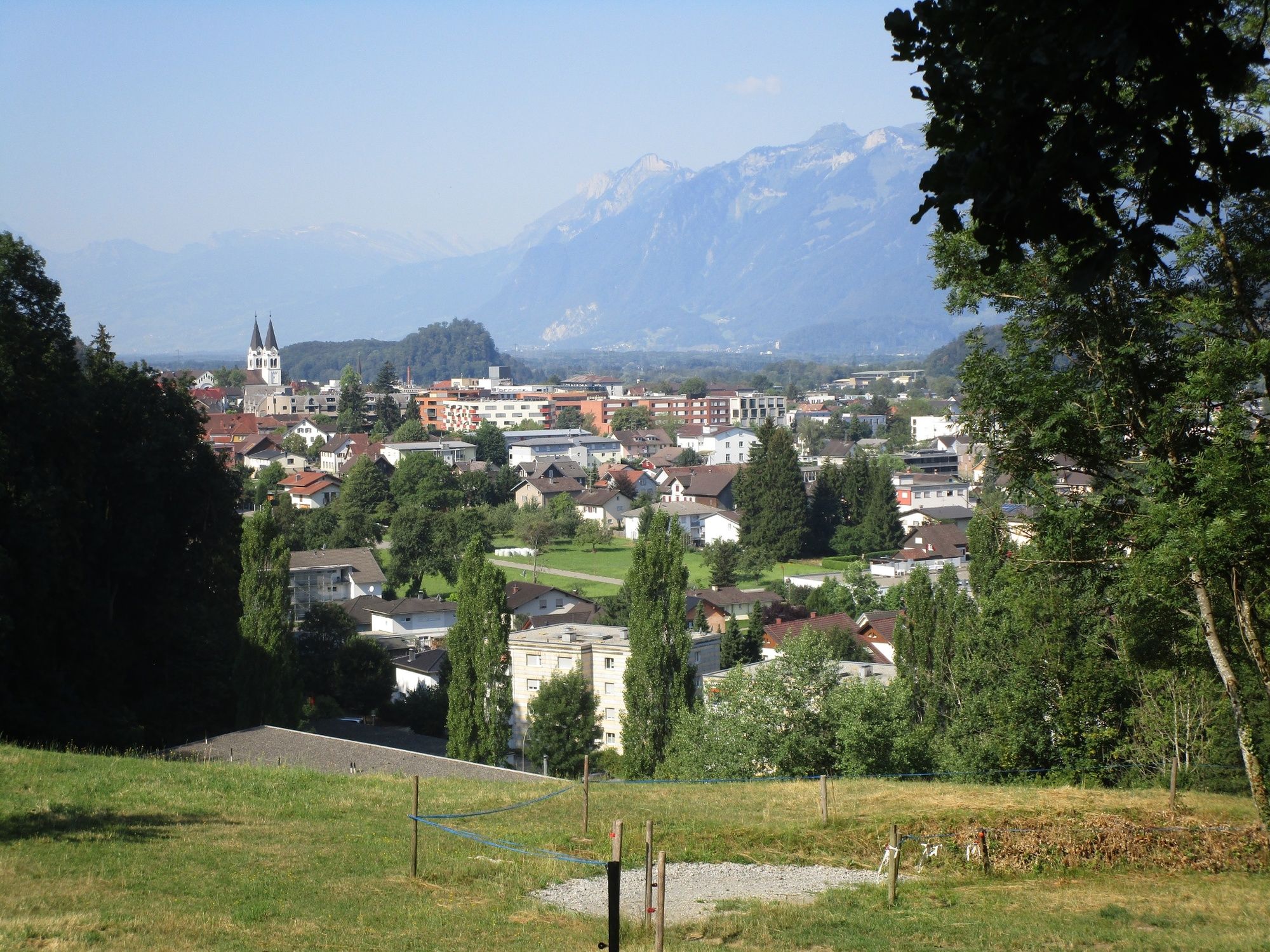
Götznerberg2,2 kmÖrflaschlucht4,1 kmQuelle Inmakulata4,6 kmGötzis (448 m)5,7 kmKobel Kapelle6,4 km
- Najlepšia sezóna (ročné obdobie)
-
janfebmaraprmájjúnjúlaugsepoktnovdec
- Najvyšší bod
- 626 m
- Cieľová destinácia
-
Parking place Kobel
- Profil nadmorskej výšky
-


- Autor
-
Prehliadka Götzis and the gorges of the Ice Age používa outdooractive.com na stránke ..
GPS Downloads


Všeobecné informácie
Kultúra/Historické stránky
Ďalšie prehliadky v regiónoch
-
St. Gallen - Bodensee
2066
-
St. Galler Rheintal
1333
-
Götzis
348


