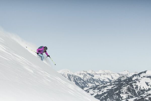
© Destination Gstaad - Destination Gstaad / Melanie Uhkoetter

- Stručný popis
-
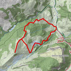
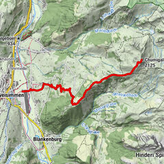
The tour of several days leads the ski tourer through the most attractive part of the western Bernese Oberland. It starts in the Diablerets massif and leads over the two famous peaks Wildhorn and Wildstrubel. On the tour you will be rewarded with an overwhelming view of the nearby four-thousand-meter peaks of the Valais. The tour lead from hut to hut and require alpine experience.
- Obtiažnosť
-
ťažká
- Hodnotenie
-
- Trasa
-
Col du Sanetsch (2.252 m)4,1 kmArpelistock (3.035 m)7,9 kmGeltenhütte SAC10,9 kmMont Pucel (3.054 m)17,9 kmWildhorn (3.247 m)18,8 kmCabane du Wildhorn (2.303 m)22,6 kmWildstrubelhütte (2.793 m)31,6 kmWisshorelücke (2.851 m)32,1 kmWildstrubel (3.244 m)37,7 kmMittelgipfel (3.242 m)38,7 kmLämmerenhütte43,0 kmRote Totz Lücke45,1 km
- Najlepšia sezóna (ročné obdobie)
-
augsepoktnovdecjanfebmaraprmájjúnjúl
- Najvyšší bod
- 3.240 m
- Cieľová destinácia
-
Kandersteg (1198 M.a.s.l)
- Profil nadmorskej výšky
-
 © outdooractive.com

-

-
AutorPrehliadka The Wild W's: Col du Pillon - Kandersteg používa outdooractive.com na stránke ..
GPS Downloads


Všeobecné informácie
Zastávka s občerstvením
S výhľadmi
Ďalšie prehliadky v regiónoch