


Via Valais Cabane de Moiry - Zinal (stage 5)


Fotografie našich používateľov
-

 © leandra.fluriVytvorené dňa 07.10.2023
 -
 © Anselmo MazzoliniVytvorené dňa 26.07.2020
 -
 © Anselmo MazzoliniVytvorené dňa 26.07.2020
 -
 © Anselmo MazzoliniVytvorené dňa 26.07.2020
 -
 © Anselmo MazzoliniVytvorené dňa 26.07.2020
 -
 © Anselmo MazzoliniVytvorené dňa 26.07.2020
 -
 © Anselmo MazzoliniVytvorené dňa 26.07.2020
 -
 © Anselmo MazzoliniVytvorené dňa 26.07.2020
 -
 © Anselmo MazzoliniVytvorené dňa 26.07.2020
 -
 © Anselmo MazzoliniVytvorené dňa 26.07.2020
 -
 © Anselmo MazzoliniVytvorené dňa 26.07.2020
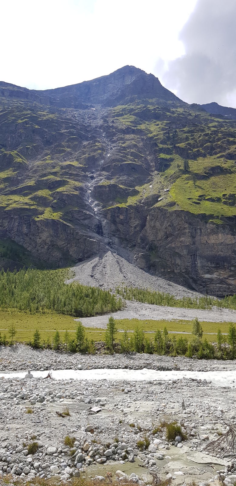
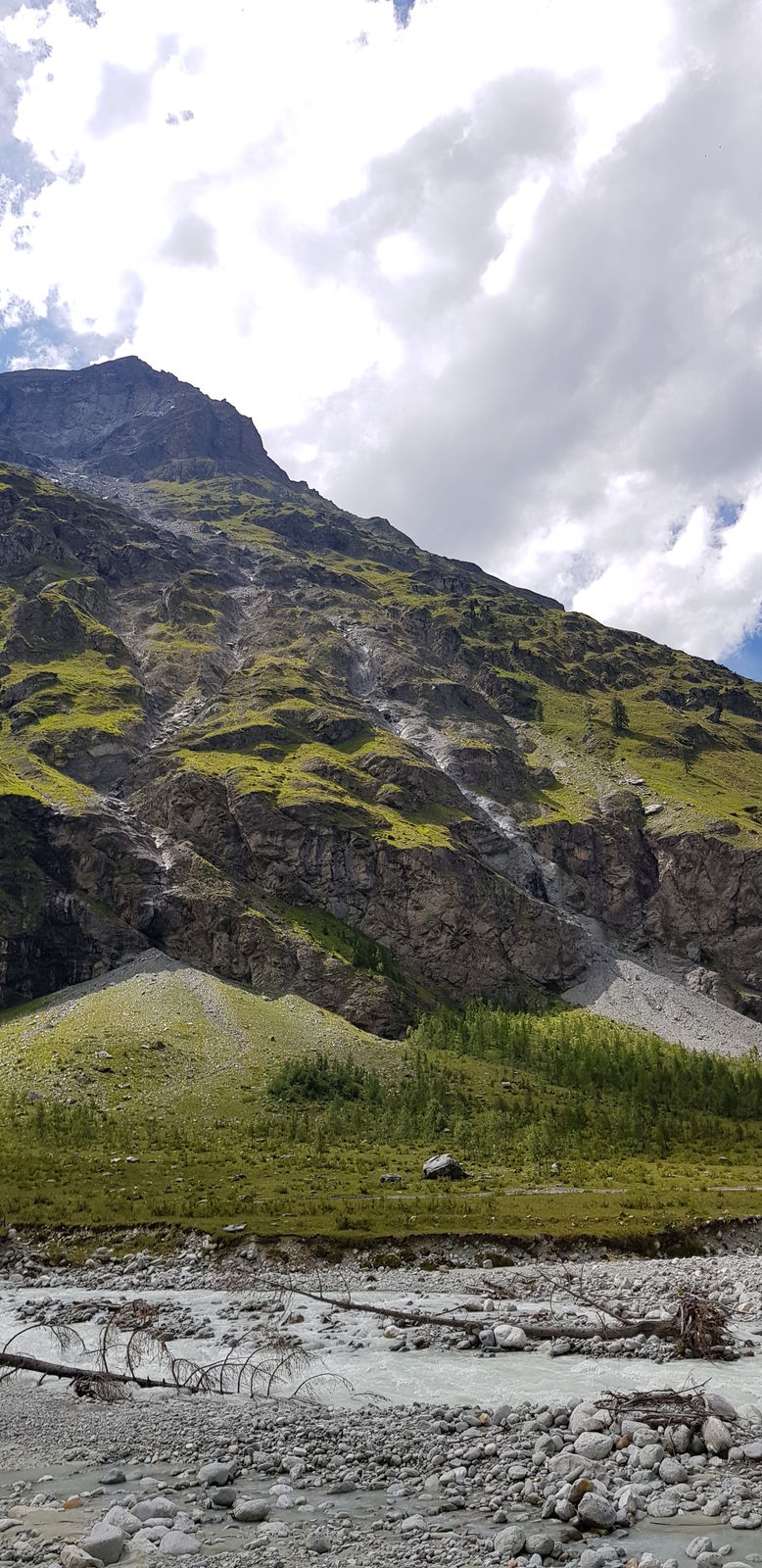
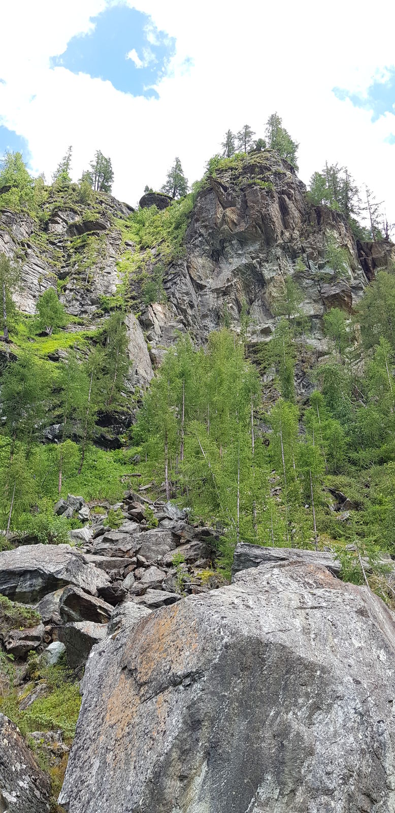


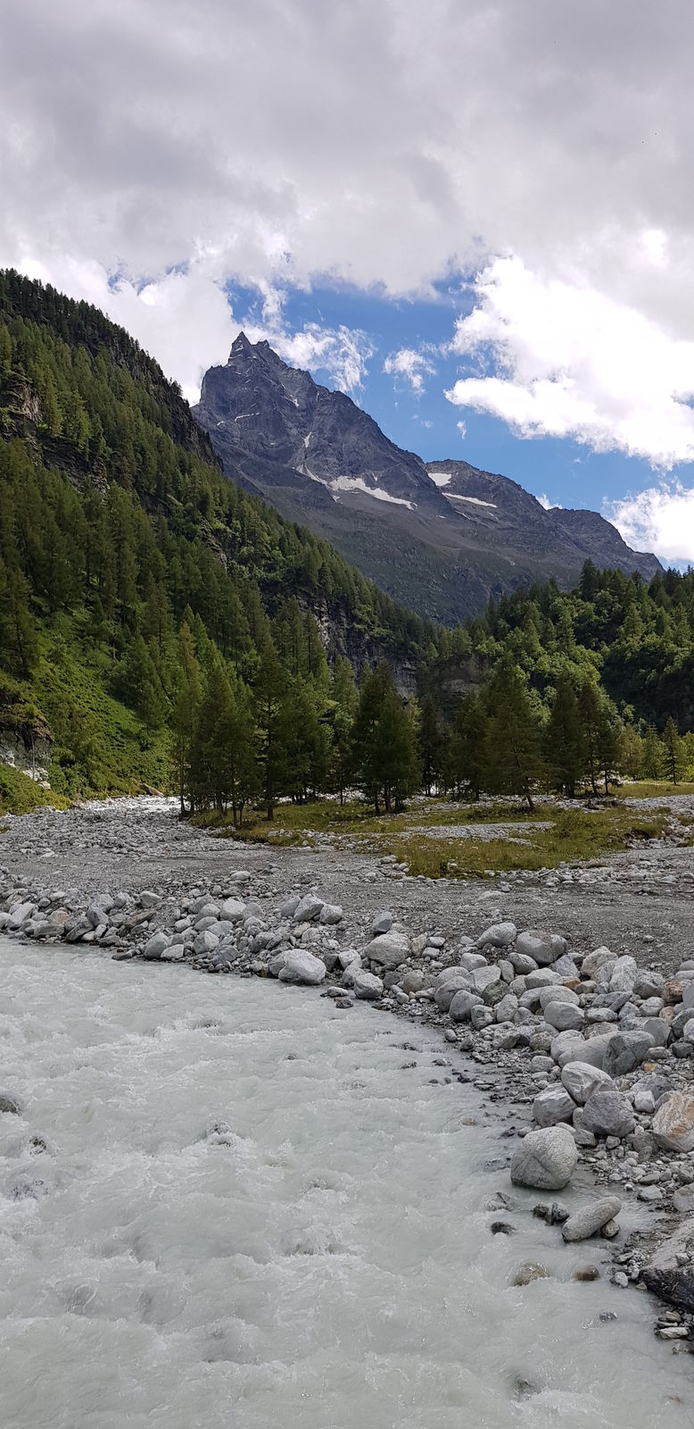

From the Cabane de Moiry, use the path over which you arrived the day before, consisting of a two-kilometer descent. At the path junction, follow the direction of Fêta d'Août de Châteaupré and walk along...
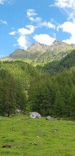
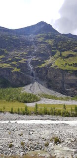
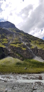
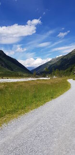
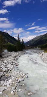
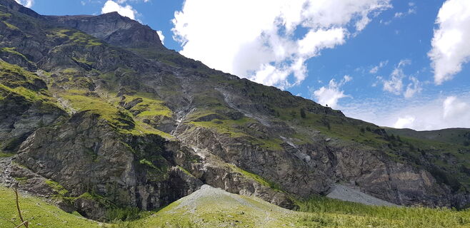
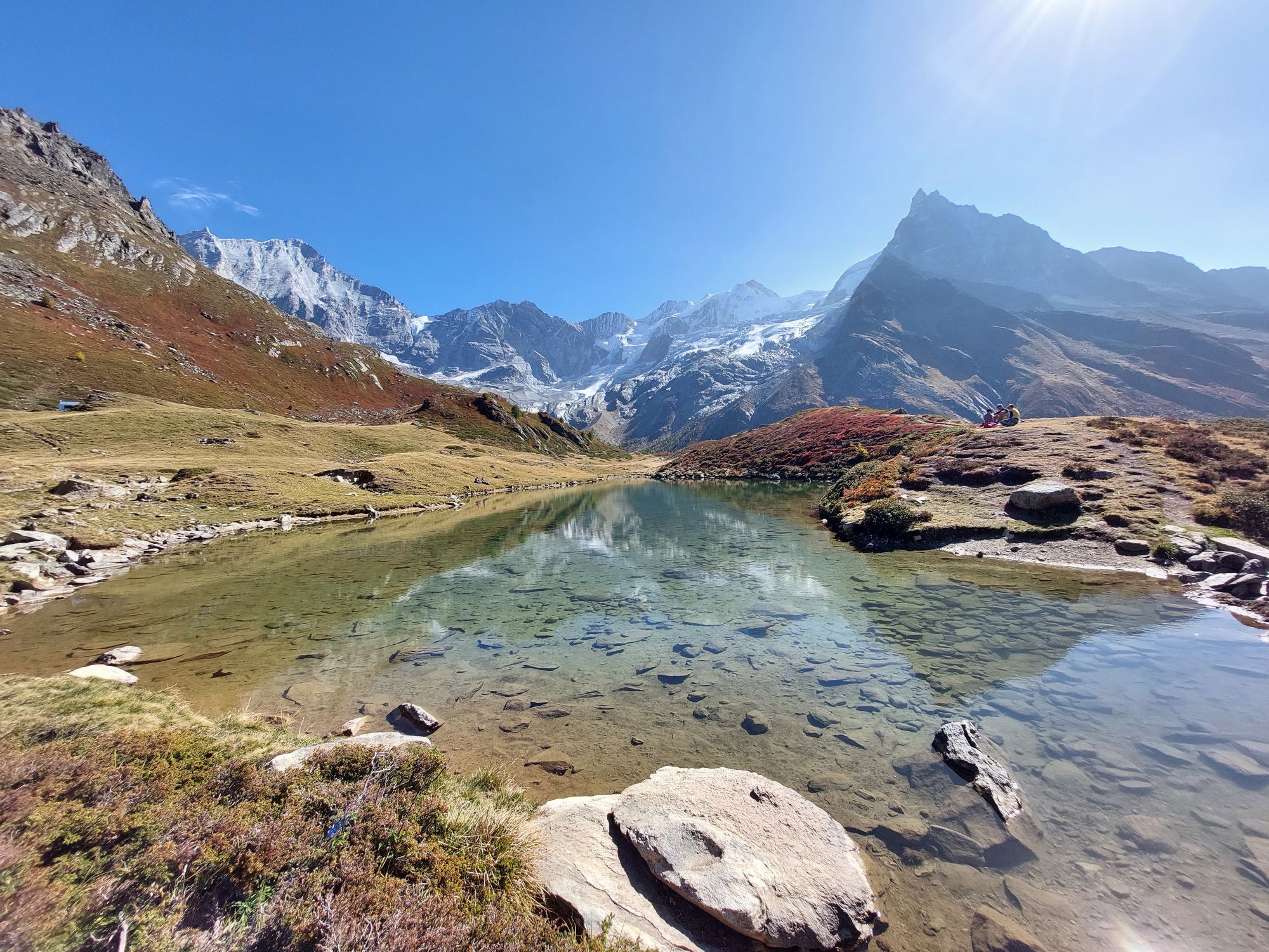
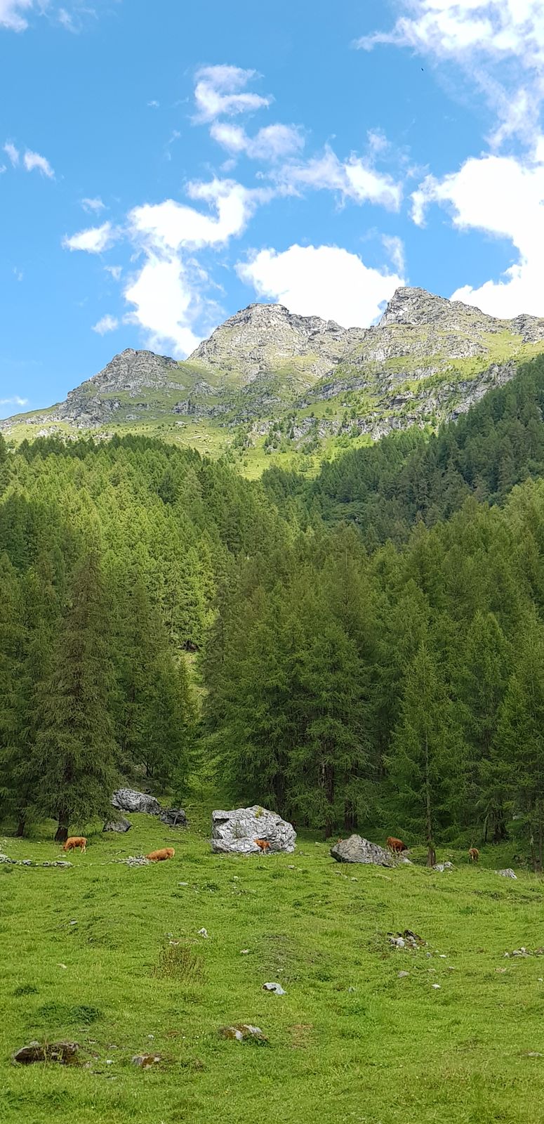
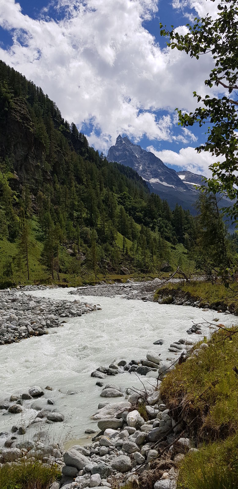
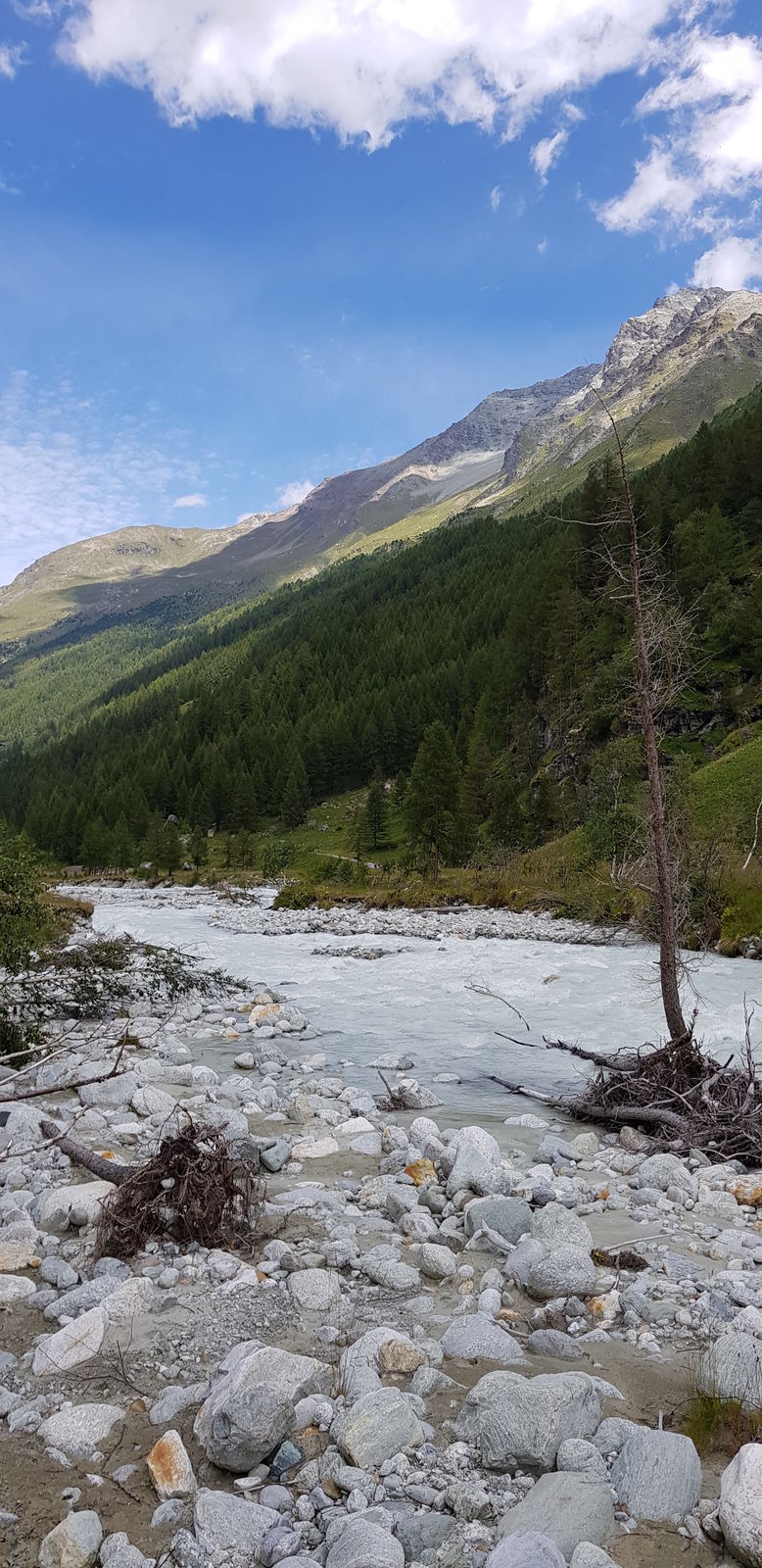
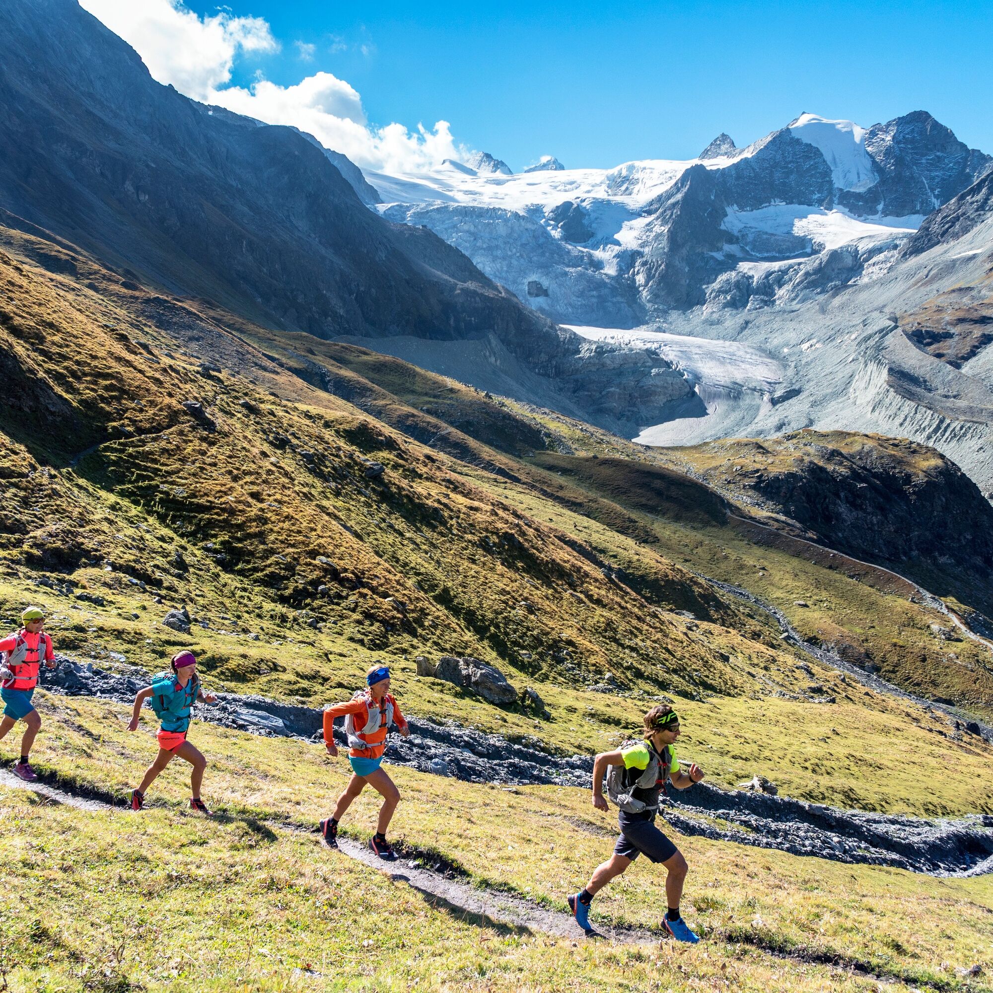
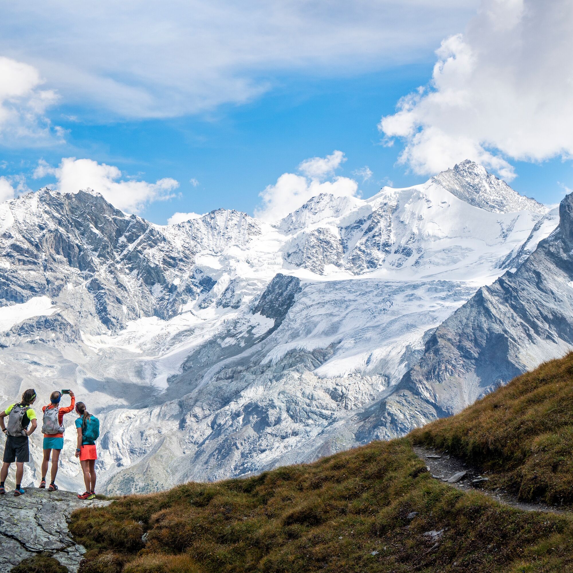
From the Cabane de Moiry, use the path over which you arrived the day before, consisting of a two-kilometer descent. At the path junction, follow the direction of Fêta d'Août de Châteaupré and walk along the entire length of the lake below. A short climb then leads you to Col de Sorebois, which forms the transition into the Zinal valley. Depending on your progress, you will discover views of the Zinalrothorn, the Weisshorn, and the Dent Blanche, some of the impressive four-thousand-meter peaks of the Val d'Anniviers. Cross the mountain pastures where black-nosed sheep graze and make your way through the rocks to reach Crevache. The path descends steeply over 1200 meters to the valley floor, then follows the Navizence river and leads you directly to Zinal. This is the first night you do not spend in a hut, the opportunity to take a shower and visit this welcoming mountain village.

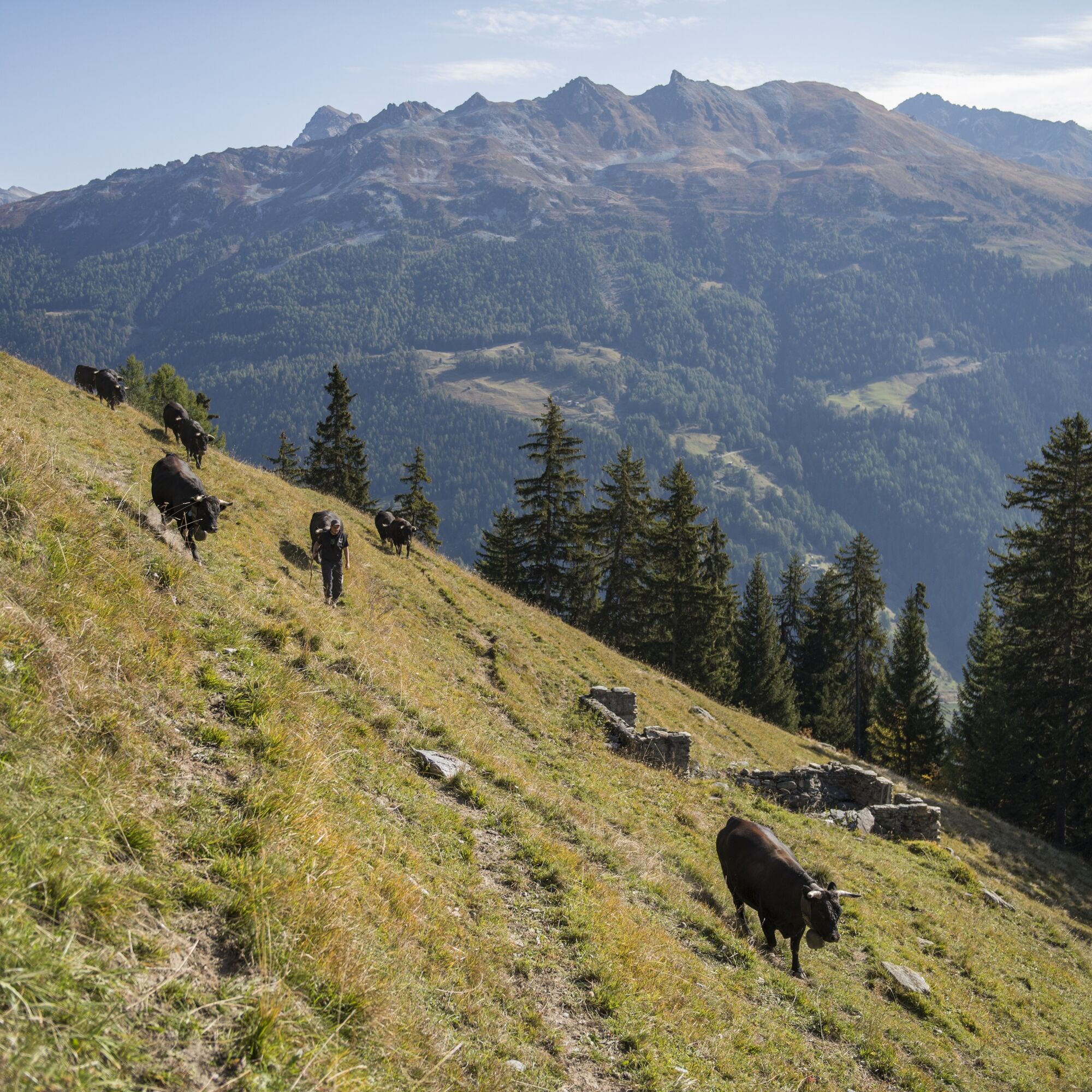
From the Moiry hut, go back down the path you used the day before until you reach a junction from which you must follow the direction of Feta d'Août de Châteaupré. Then walk along the slope overlooking the entire Lac de Moiry and climb up to Col de Sorebois, which you cross before heading towards the valley floor of Zinal, where a long descent awaits you. When you reach the shore of the Navizence, cross it and follow the path on the east side of the river to the village of Zinal.
Cabane de Moiry - Fêta d'Août de Châteaupré - Sorebois - Crevache - Zinal
Áno
Áno
We recommend:
Good running shoes Weather-dependent clothing: always carry a waterproof vest Headgear Sunscreen Water bottle Trail poles
Use of the trail paths and information on this website is at your own risk. On-site conditions may cause changes to the route. Valais/Wallis Promotion assumes no responsibility for the accuracy and completeness of the information on this website.
For all trails:
Use only marked trail paths and observe all signposts and instructions – for your own safety, to protect grazing animals, and out of respect for wildlife. Close gates after passing through. Be considerate of other path users, plants, and animals.
For mountain trails:
Carry additional sun protection. UV rays at high altitudes can be very strong, even on cloudy days. Plan your trail carefully: consider the required fitness level of all participants, weather forecasts, and seasonal dependencies. Weather conditions can change very quickly and without warning in the mountains. Appropriate clothing and provisions (food and drink) are very important. In unstable weather, it is better to turn back early. Inform your family about your trail route. Avoid traveling alone if possible. Pay attention to warning signs indicating dangers at riverbanks, along waterways below dams and reservoirs: water levels can rise quickly and without warning.
For stage 1 Via Valais: Take the A9/E62 highway to Martigny, then continue on the Grand-Saint-Bernard Route/Route 21 via Sembrancher to Le Châble. However, it is advisable to use public transport as this is a multi-stage run ending in Zermatt.
For stage 1 Via Valais: Take the train to Martigny station, then to Le Châble. Access to the beginning of the trail is provided by a first cable car between Le Châble and Verbier and a second one from Verbier to Les Ruinettes.
For stage 1 Via Valais: A free car park with 240 spaces is available for a maximum of ten days at the Le Châble cable car.
Further information about the destination:Val d'Anniviers
Stock up on your food supplies sufficiently in Zinal; the next grocery store is located in Randa, at the end of stage 7.
Webové kamery z prehliadky
Obľúbené výlety v okolí
-
5,0
Bella-Tola
strednáVysoké turné 6,72 km -
2,0
Circular hike to Cabane des Aiguilles Rouges and Lac Bleu
ťažkéTuristika 14,1 km -
Tour du Lac de Moiry
strednáTuristika 13,4 km -
Zum Fuss des Gletschers und zurück nach Les Hauderes
strednáTuristika 12,3 km -
5,0
Tour of Val d’Anniviers: Zinal–Grimentz (Stage 3)
strednáTuristika 14,5 km -
Val d’Annivier
svetloTuristika 17,6 km -
Pic d'Artsinol, Evolène, Valais/Suisse
strednáTuristika 13,0 km -
Roc de la Vache - Zinal
strednáTuristika 18,9 km -
1,0
St-Luc (Tignousa) nach Zinal
strednáTuristika 15,2 km -
Rando Parc Pluton Anniviers, Valais/Suisse
ťažkéSkitour 13,4 km
Turistika a stopovanie


Nenechajte si ujsť ponuky a inšpiráciu na ďalšiu dovolenku
Vaša e-mailová adresa bol pridaný do poštového zoznamu.