


Walks in the forest of Rothonne
Úroveň náročnosti: T1


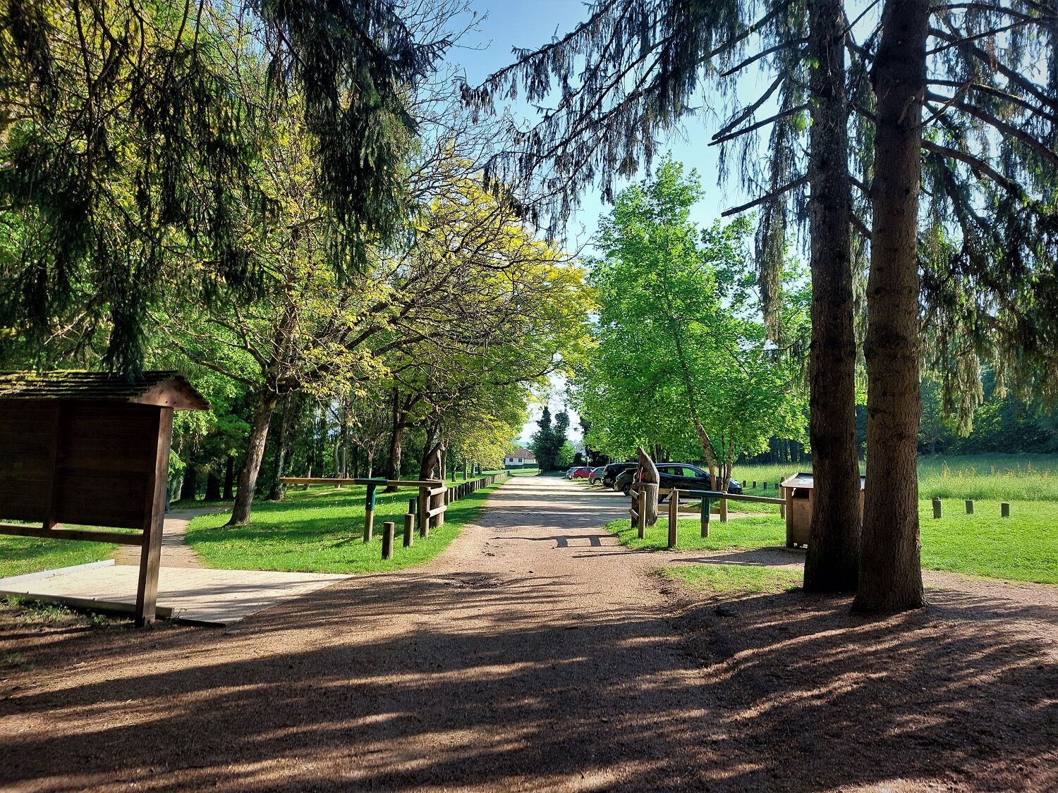
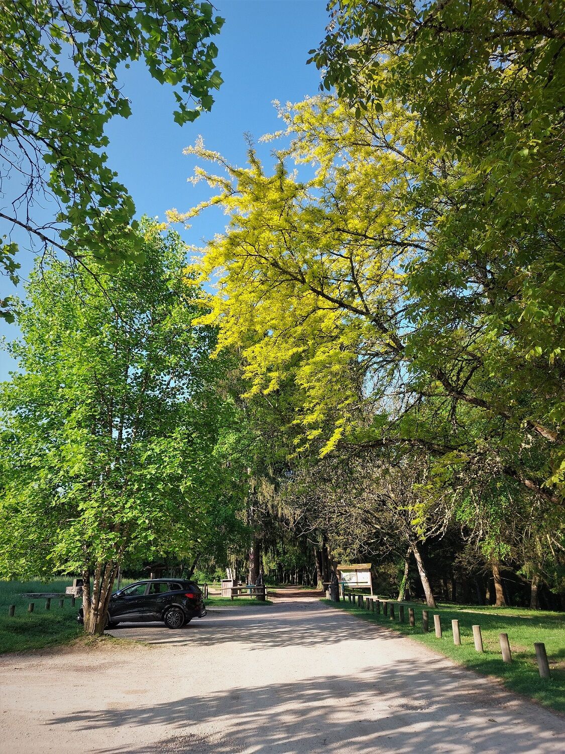
Find several routes for walking or cycling a few minutes from Belley. Ideal for family walks, the first steps in mountain biking, jogging or small trail outings, the three routes are perfectly marked from...
Find several routes for walking or cycling a few minutes from Belley. Ideal for family walks, the first steps in mountain biking, jogging or small trail outings, the three routes are perfectly marked from the smallest, the squirrel (3 km), to the largest, the roe deer (8.5 km) through the fox.
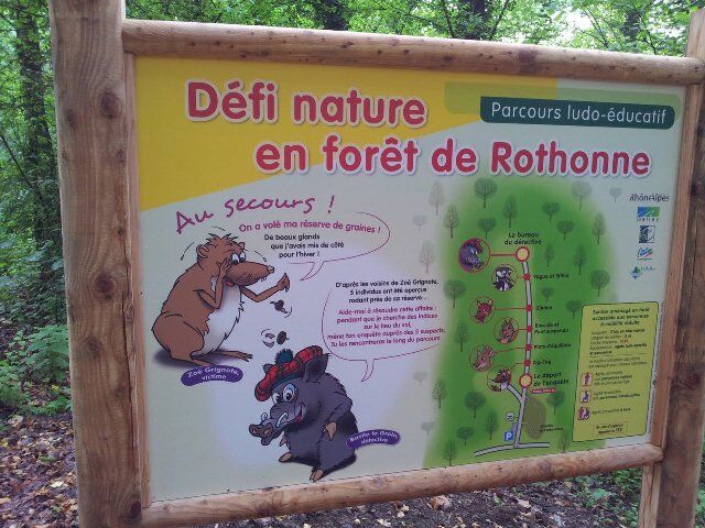
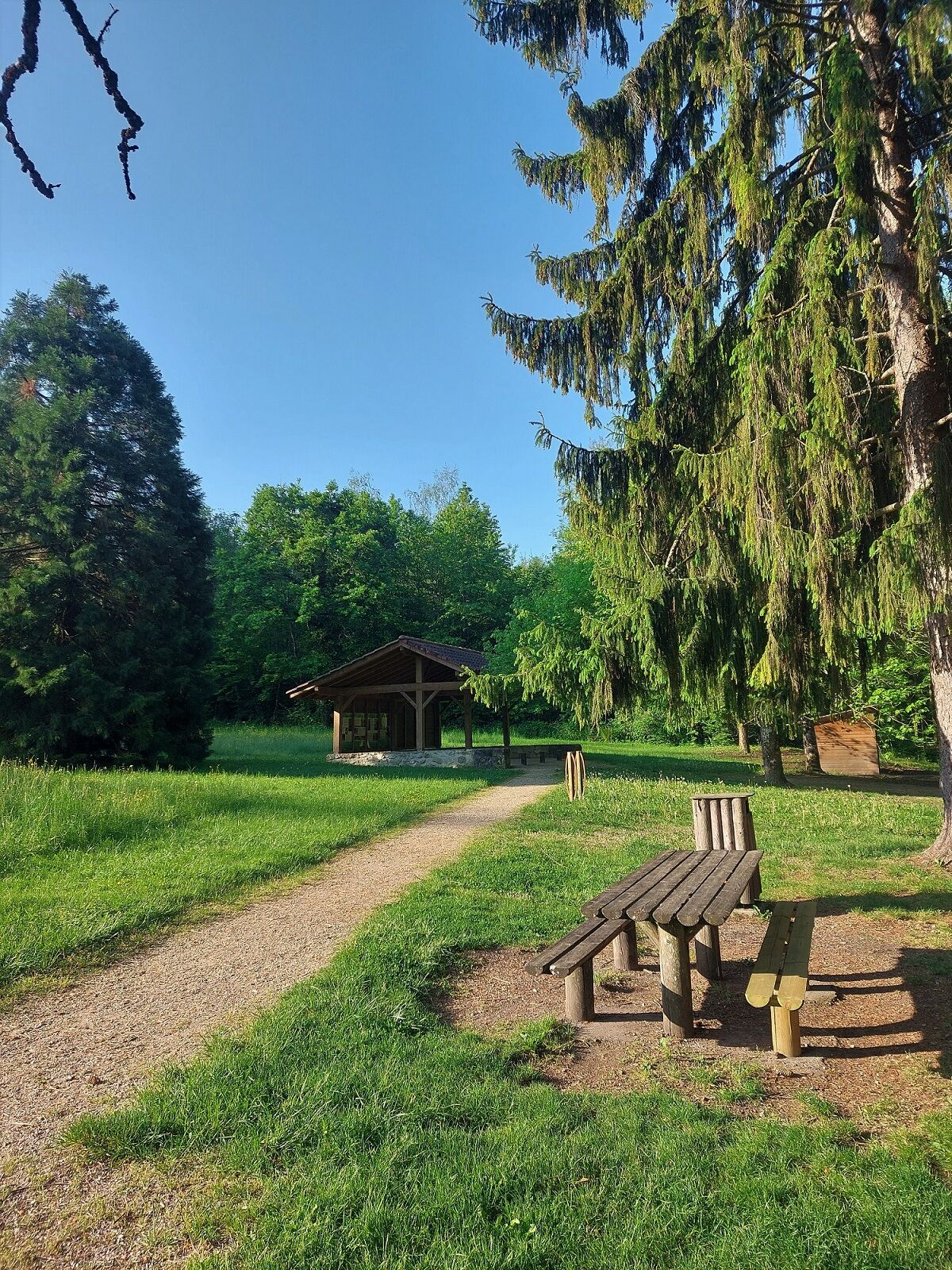
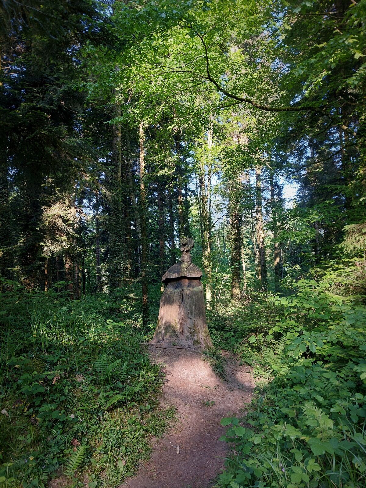
At the start of the circuits, many facilities: puzzle trail for children, arboretum, sound sculptures, interpretive panels of birds and trees.
Several picnic tables are also set up for families.
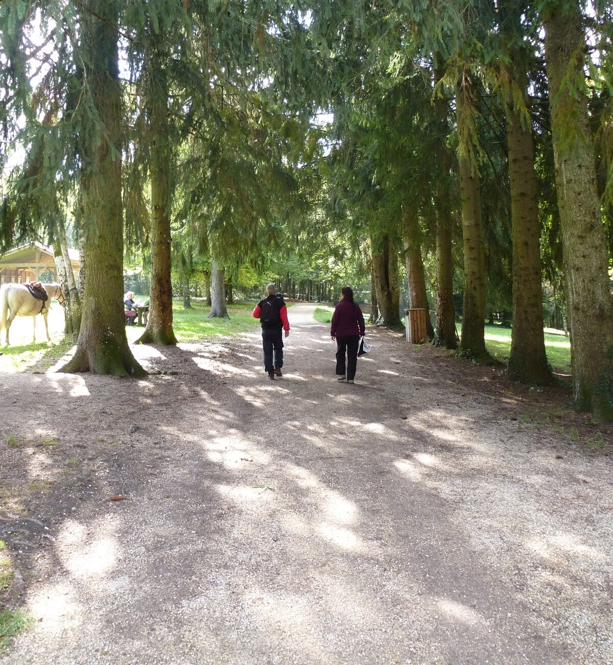
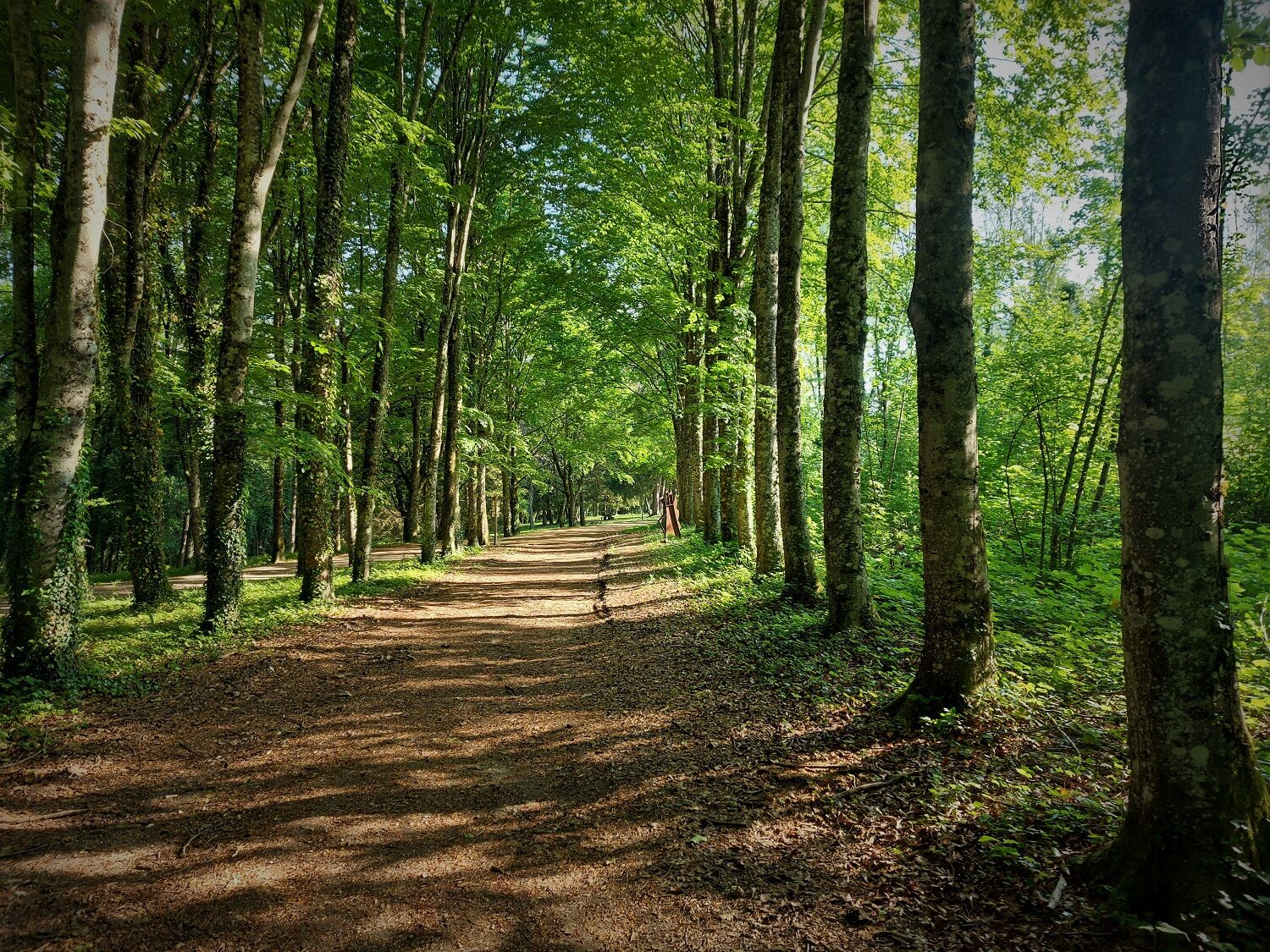
All the circuits are in the shade and in the calm of the forest.
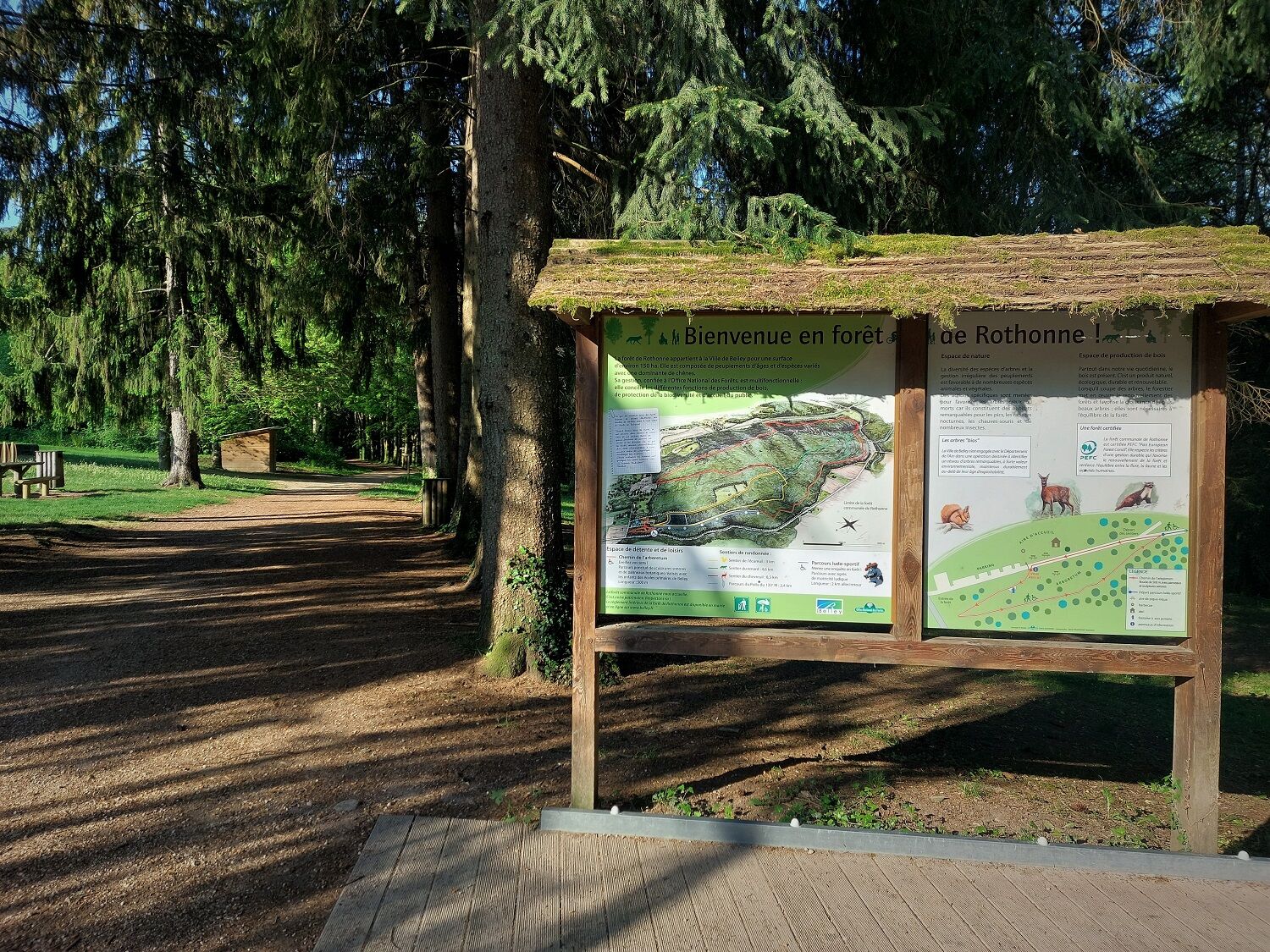
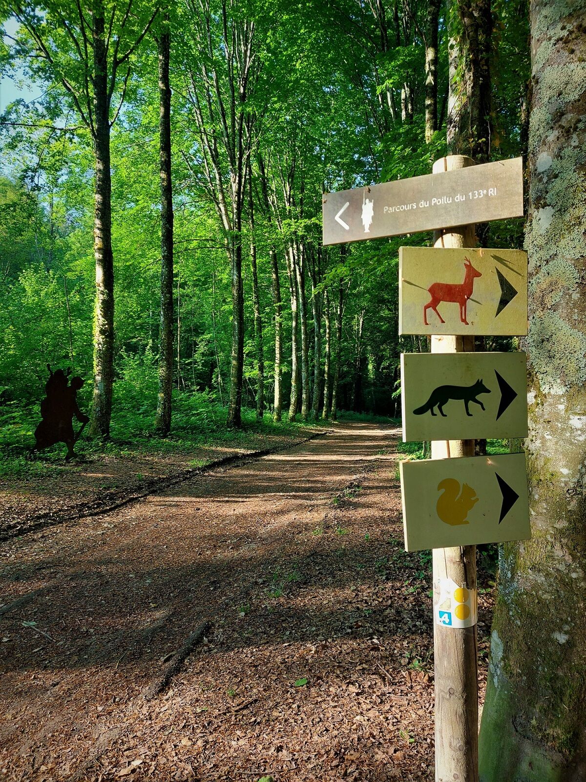
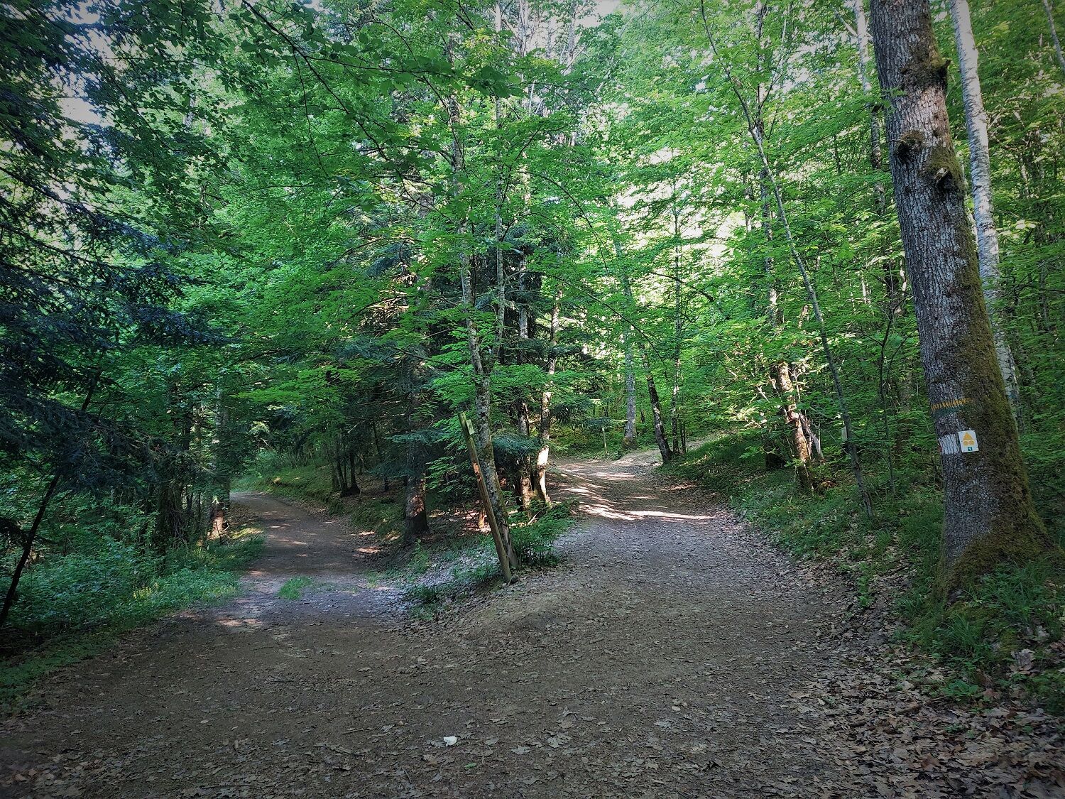
Squirrel, fox and deer markings to follow at the start.
It is recommended to be equipped with good shoes and enough water.
The loops do not have difficult passages; however, the paths can become very muddy after heavy rain.
Defective markings, incidents / safety, usage conflicts, illegal dumping? Locate and share the problem encountered on the national alert system via the SURICATE app or through the website https://sentinelles.sportsdenature.fr/
The Rothonne forest is located a few kilometers south of Belley.
The Rothonne forest is not served by public transport.
There is parking available at the starting point of the hikes.
T1
APIDAE Tourism data updated on 24/10/2022 by "Office de Tourisme Bugey Sud Grand Colombier".
An error on this sheet? Write to the owner quoting these references:
Sheet name: Rothonne forest walking routes | Sheet ID: 391596 | URL of this Outdooractive page.
For a short nature walk or a slightly more sporty outing, the Rothonne forest has various loops adapted to your desires and skill levels.
Obľúbené výlety v okolí
-
1,0
Hike of the Clairefontaine waterfall
svetloTuristika 5,46 km -
Trail along the water (Sentier de l'eau)
strednáTuristika 7,28 km -
5,0
Hike : Tour du Mont de Cordon
svetloTuristika 7,16 km -
Hike starting from Parves-et-Nattages: le circuit du Sorbier
svetloTuristika 11,4 km -
Cycling tour : Marshes and vineyards in Bugey
svetloCestný bicykel 33,1 km -
Hike : Armaille Lake
svetloTuristika 9,42 km -
Hike : Lake and vineyards
svetloTuristika 9,76 km -
5-MTB trail - Lac d'Armaille - Espace FFC Ain Forestière
ťažkéMountainbike 26,7 km -
Hike : La croix Saint Clair
svetloTuristika 5,05 km -
6-red MTB trail - Les Enfants du Marais - Espace FFC Ain Forestière
ťažkéMountainbike 41,4 km
Turistika a stopovanie


Nenechajte si ujsť ponuky a inšpiráciu na ďalšiu dovolenku
Vaša e-mailová adresa bol pridaný do poštového zoznamu.