


Panoramic hiking above the Alb valley


Fotografie našich používateľov
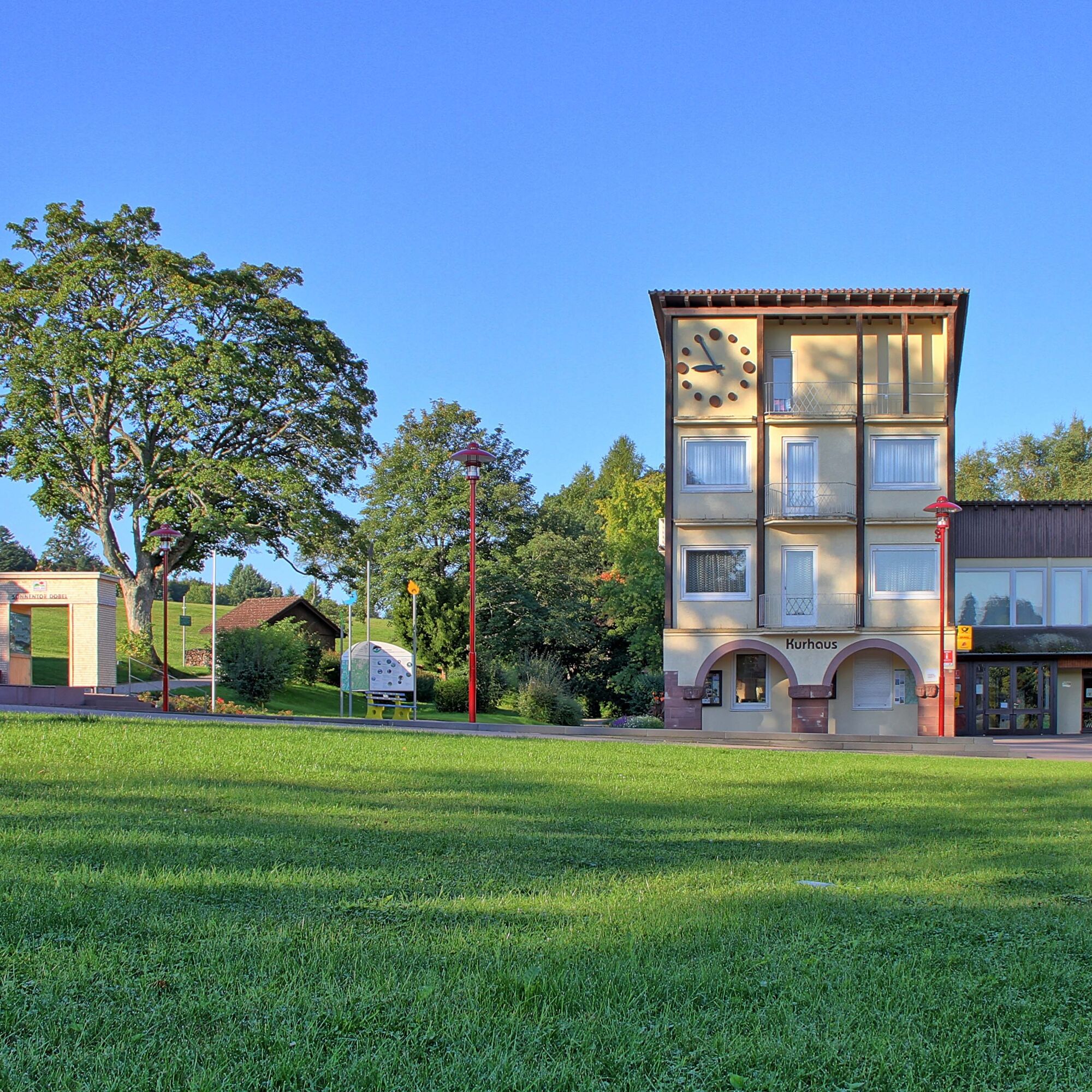
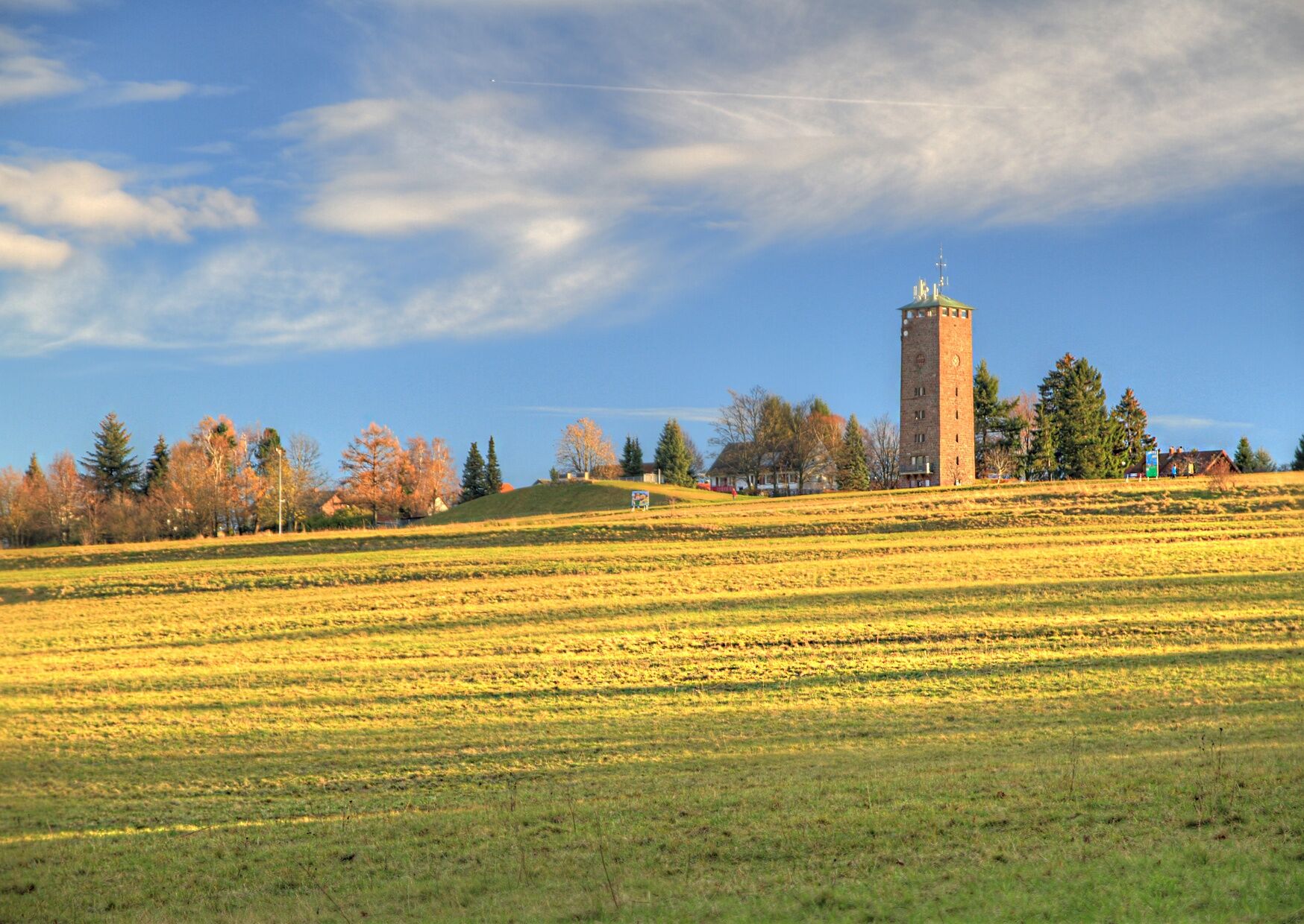
This scenic hike lives up to its name right from the starting point. From the Old Water Tower in Dobel, you get a first taste of what awaits you over the coming kilometers – great views far beyond the...
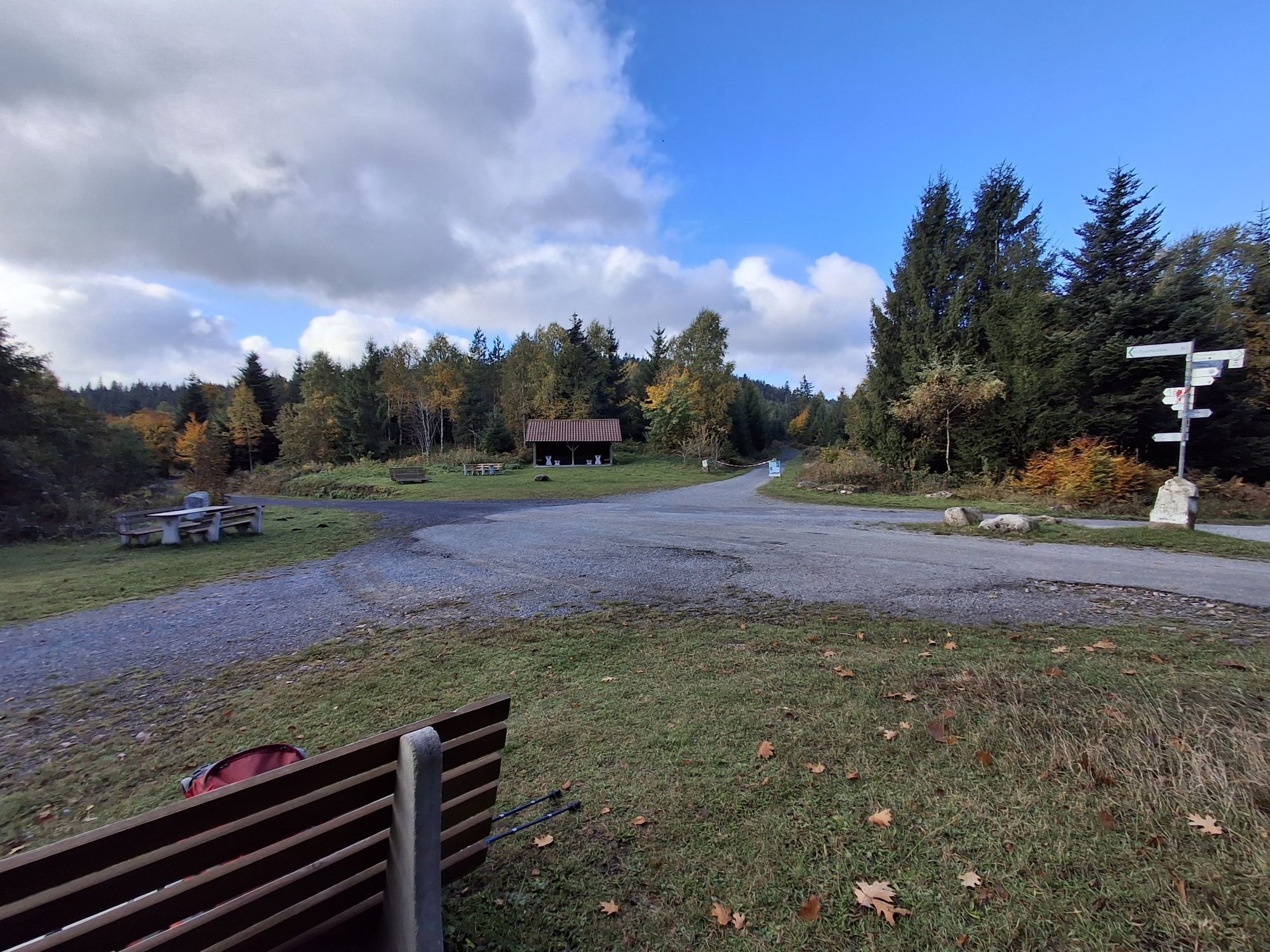
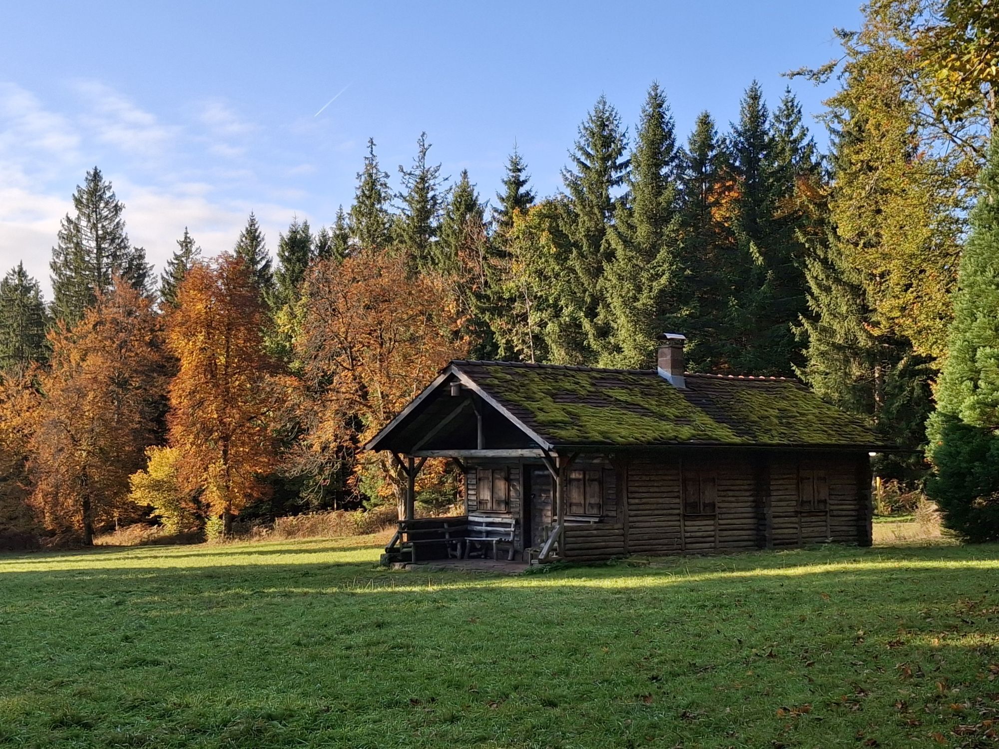
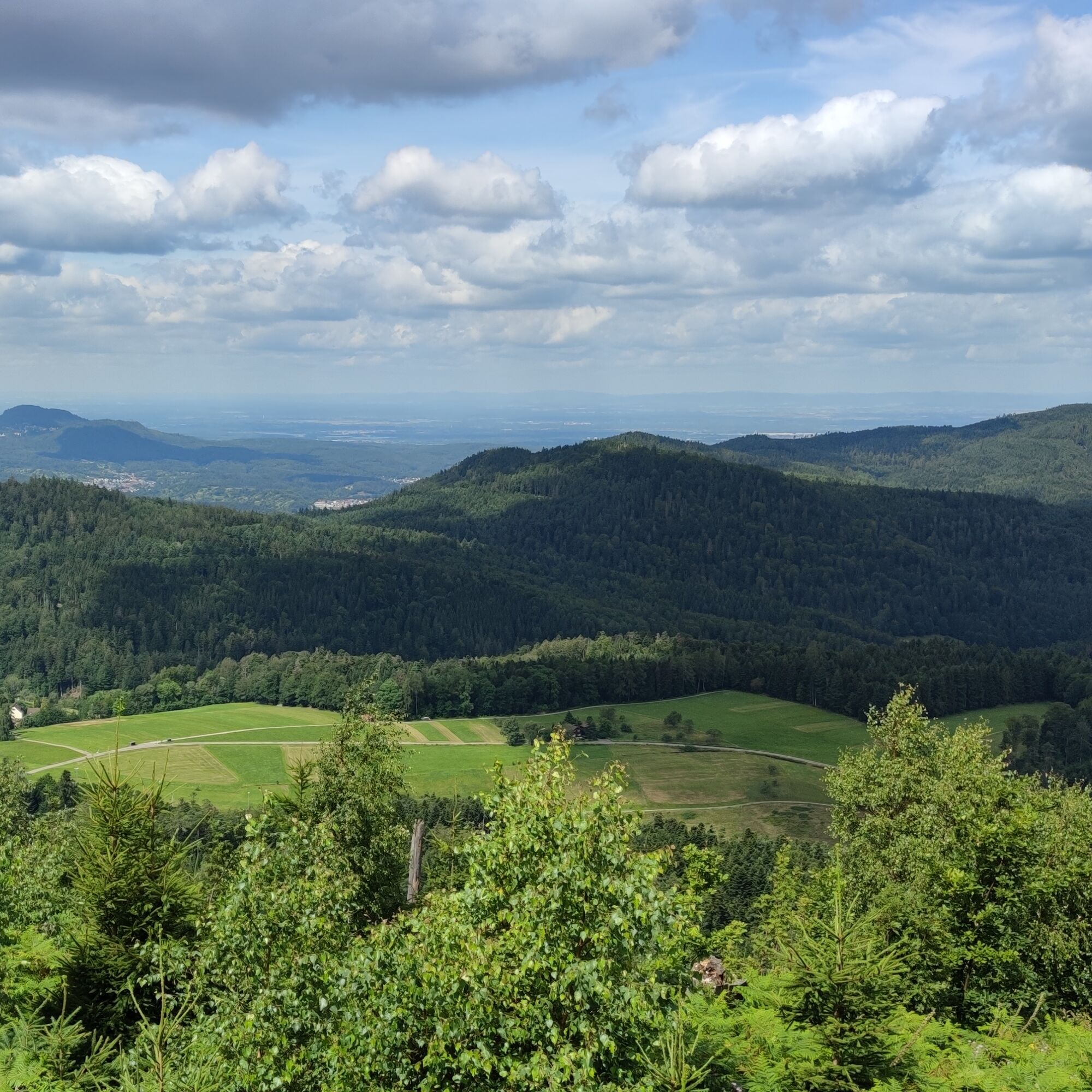
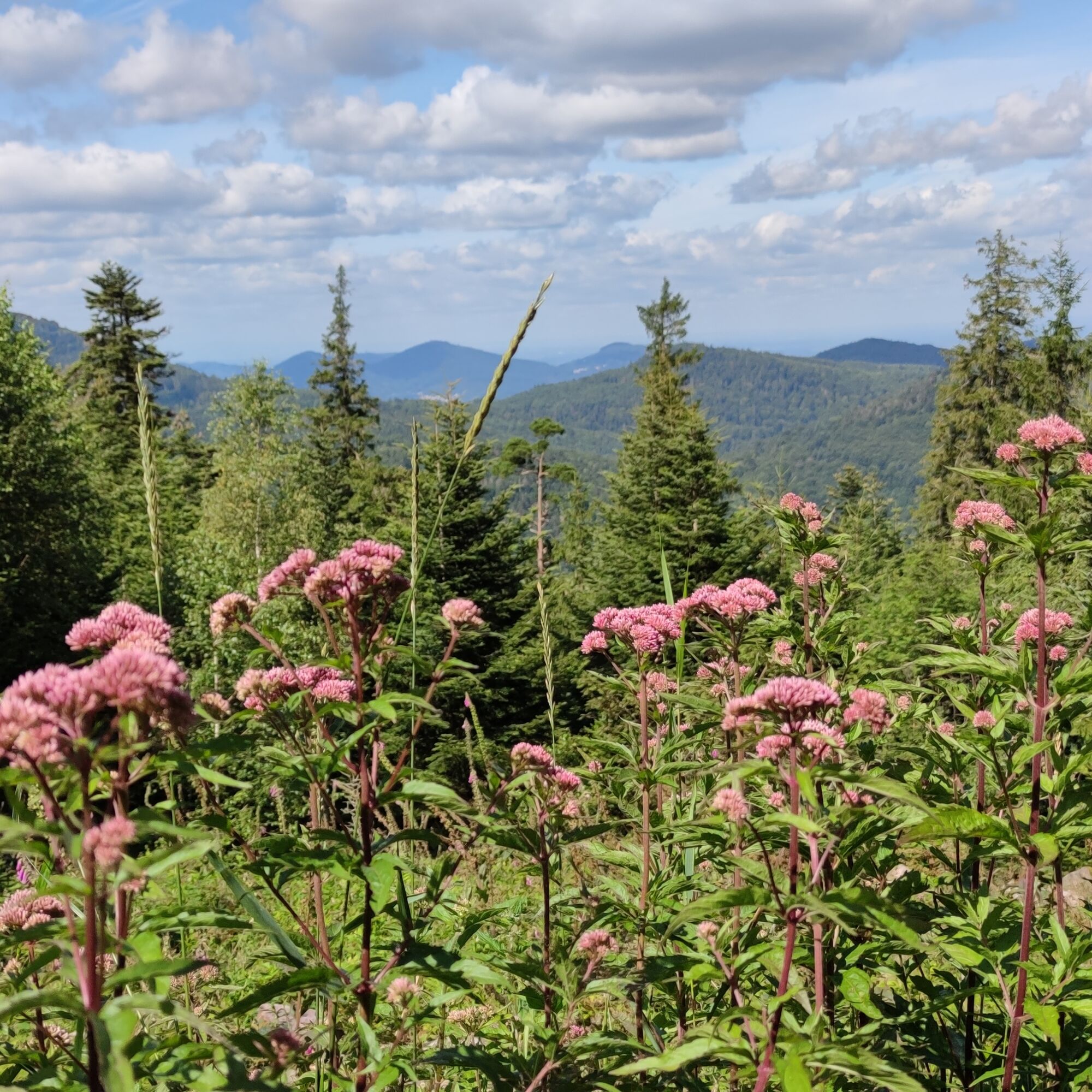
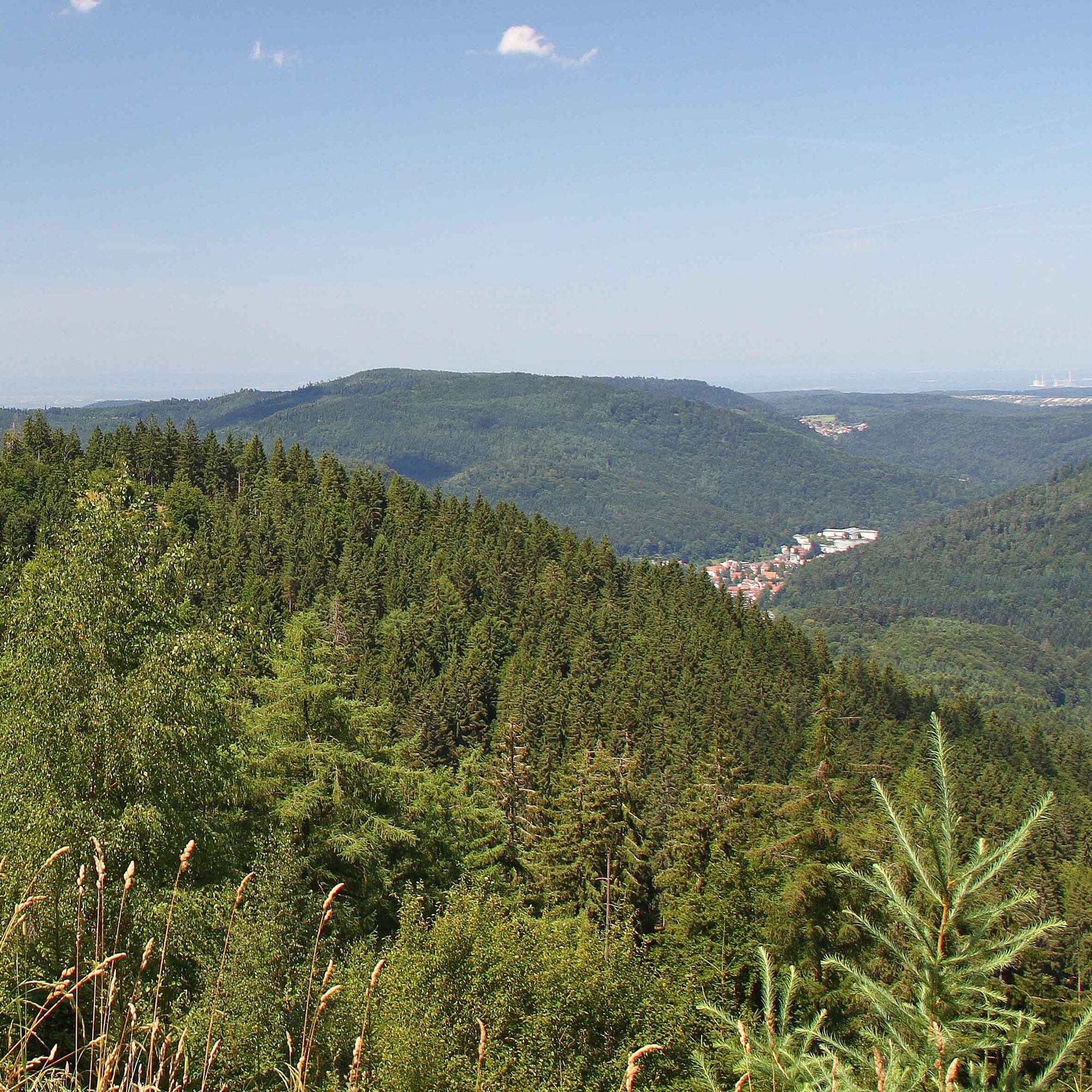
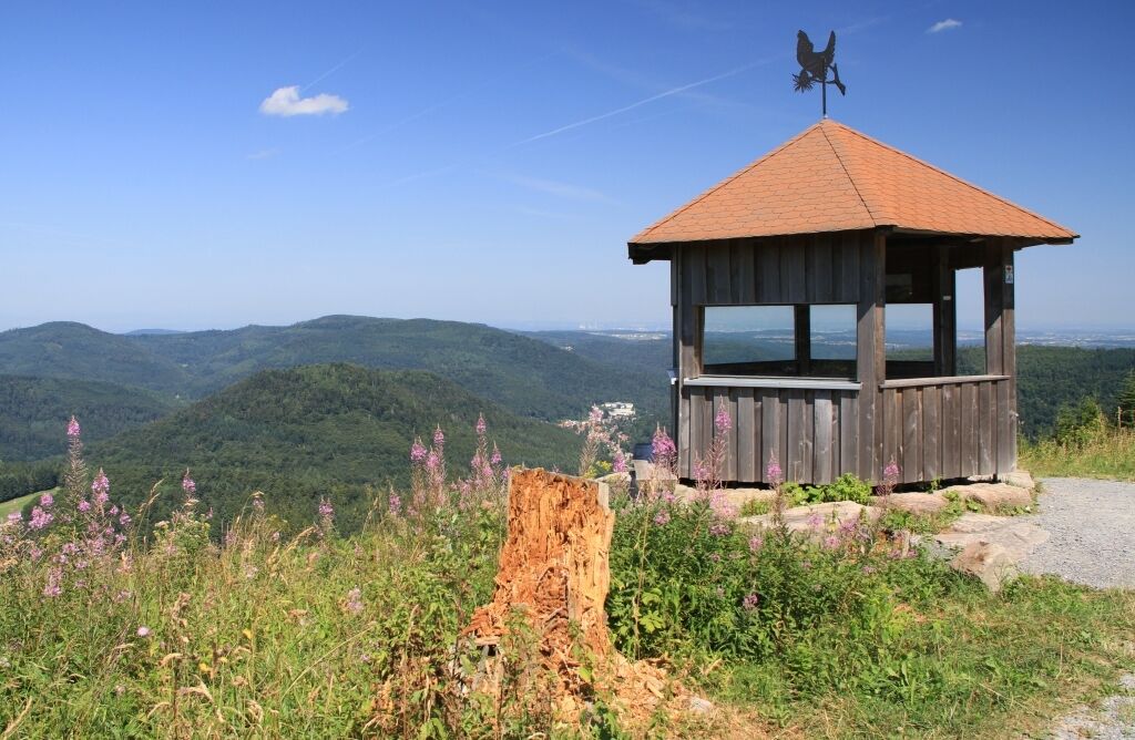
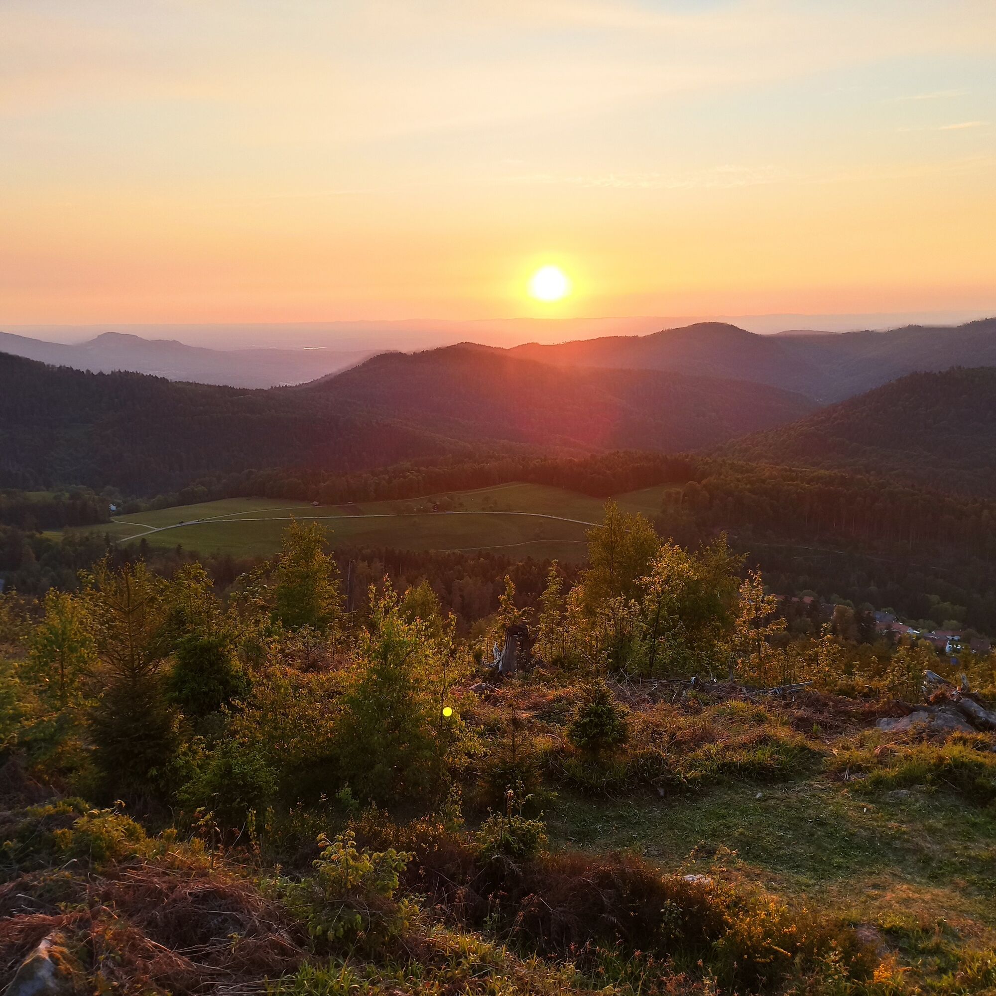
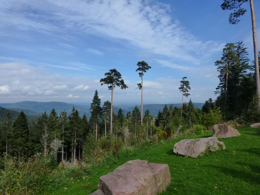
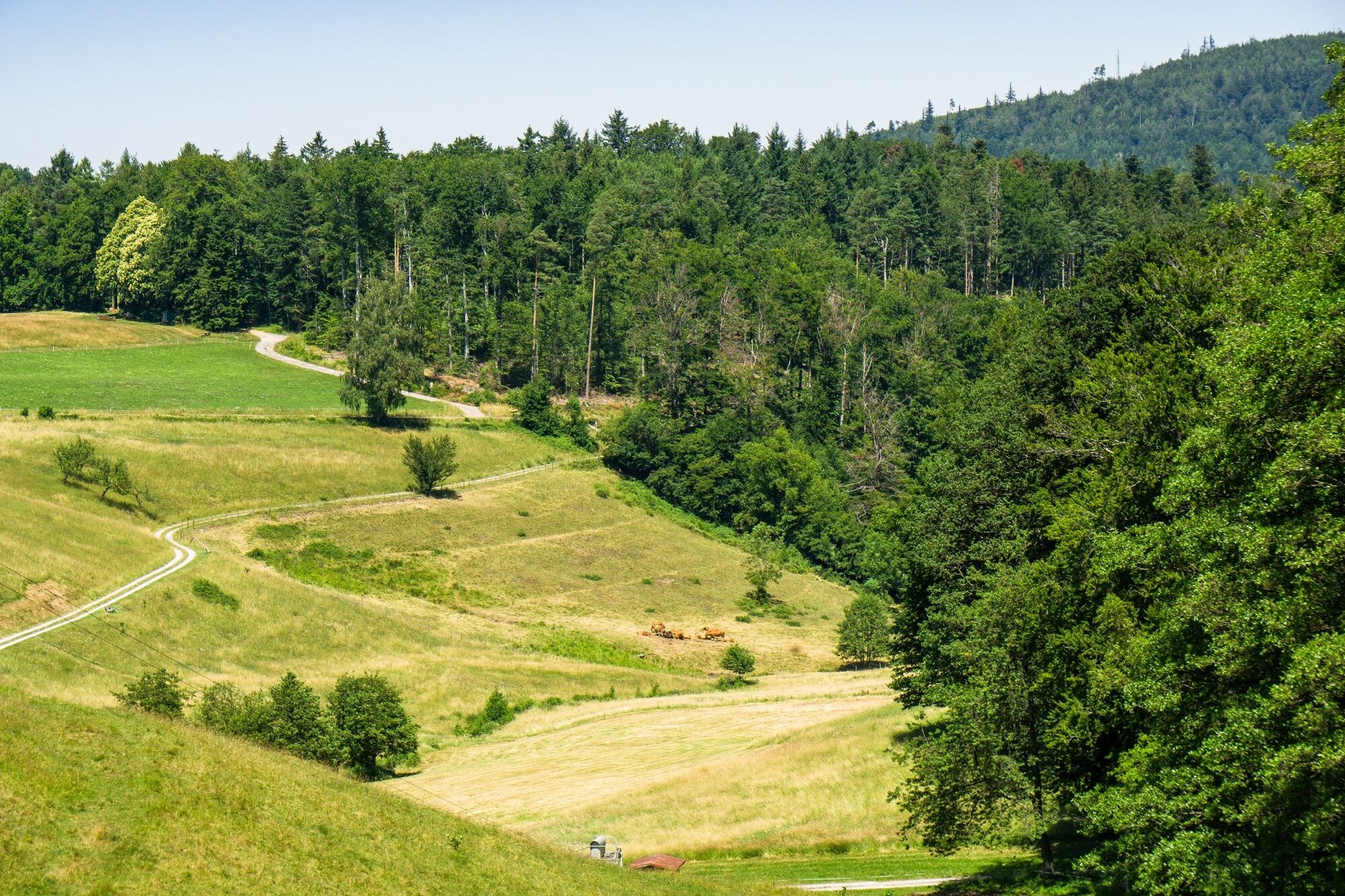
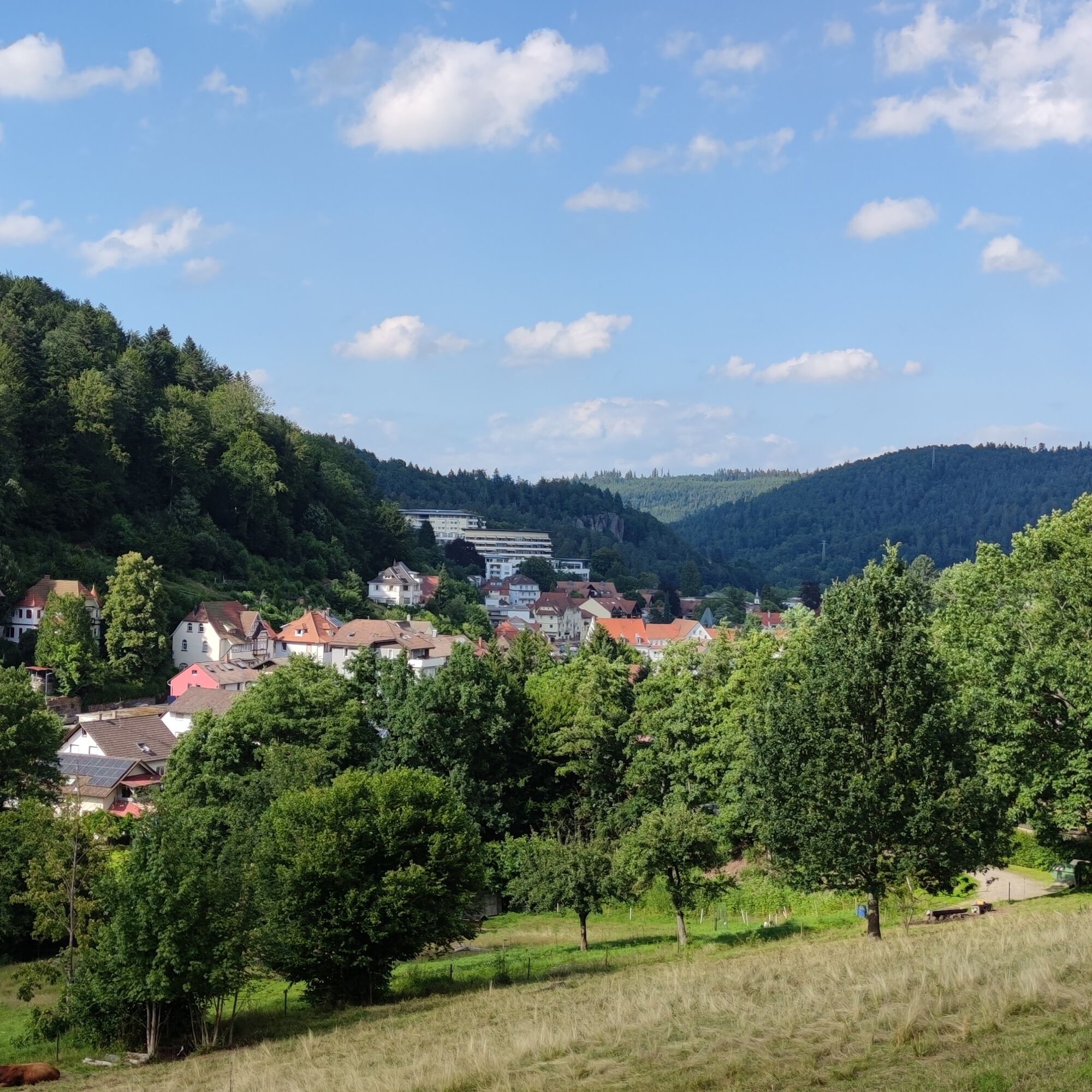
This scenic hike lives up to its name right from the starting point. From the Old Water Tower in Dobel, you get a first taste of what awaits you over the coming kilometers – great views far beyond the Alb valley. After the 360° view from the observation tower, we hike on the legendary long-distance trail, the Westweg, over the height of the Alb valley. Wide hiking trails lead us to the highlights of this route. Those who want to completely relax can make themselves comfortable on the sky loungers on the Hahnenfalz trail. A few meters further, from the Schweizerkopf Hut, you get a top-class panoramic view. The view extends over the Alb valley to the Rhine plain and, in good weather, as far as the French Vosges – a dream! Along the way, there are further viewpoints, such as at the Hahnenfalz Hut. Forest paths lead us to the extensive Valley Meadow. The Wildcat Forest Experience Trail and the Spring Experience Trail are the highlights at the end of the route.


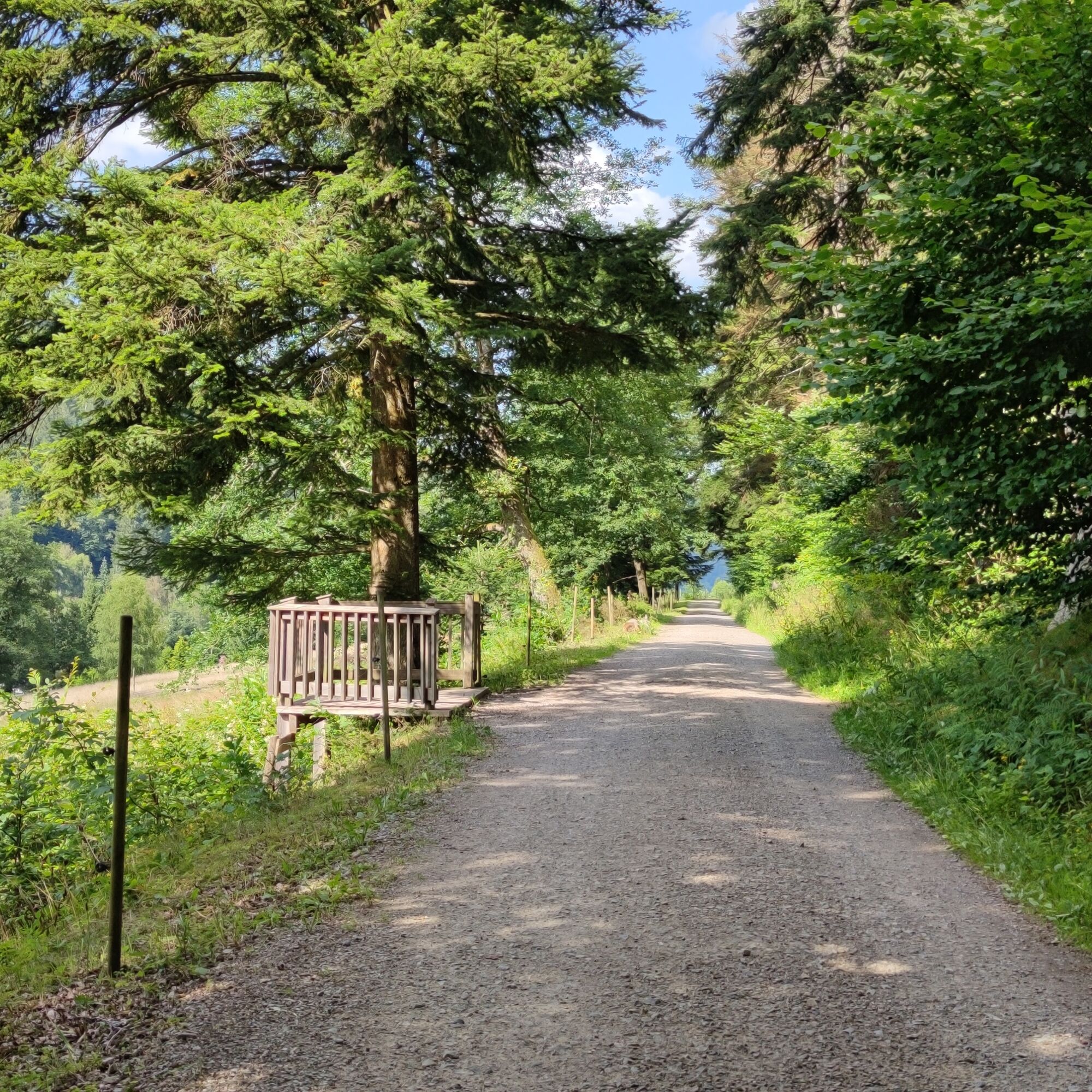
The hike follows exclusively the marked hiking trail network of the Black Forest Association. The diamonds and signposts guide us from location to location.
Signpost sequence:
WWS Dobel/Schoolhouse - WWS Dobel/At the Observation Tower - WWS Dobel/Observation Tower - WWS Botanical Garden - WWS Hahnenfalz - WWS Weithäusleplatz - WWS Hahnenfalz Hut - WWS Axtloh - WWS Hülsgraben - WWS Ski Lodge/Valley Meadow - WWS Valley Meadow - WWS Knoll Bridge - WWS Albtal Hunting Lodge - WWS Bad Herrenalb/At Wurstberg - WWS Bad Herrenalb/Center
Broken-in hiking boots, provisions, map material
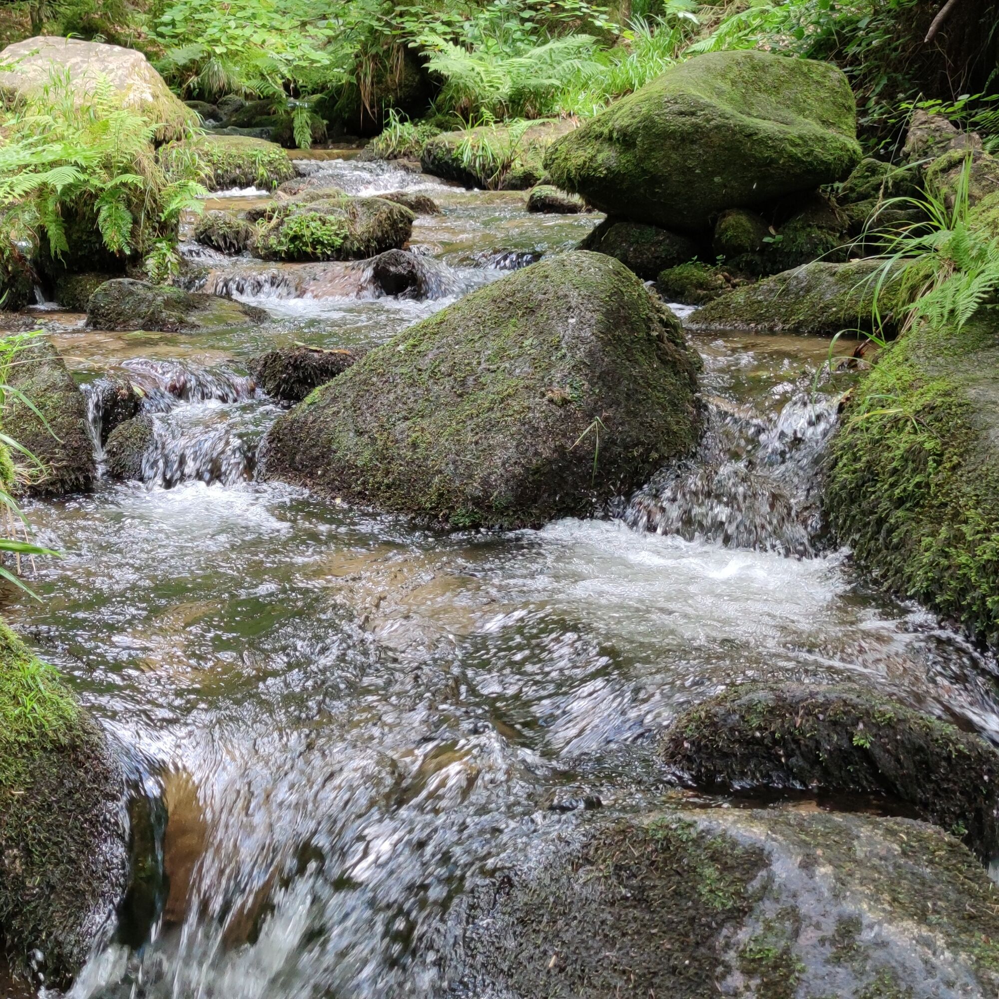
The rocky paths from the Hahnenfalz Hut to the Valley Meadow Tavern require a bit of surefootedness and can be slippery when wet!
Dobel is best reached from the Enz valley via the B294 and then the L340. From Bad Herrenalb, the L340 also leads to Dobel.
Bad Herrenalb is accessible from Gernsbach and Ettlingen via the L564.
Dobel and Bad Herrenalb are both perfectly accessible by public transport. The route starts directly at the bus stop Dobel - town center.
Line 716 runs hourly: Pforzheim - Schwann - Dobel - Herrenalb
Line X63 runs hourly: Calw - Oberreichenbach - Bad Wildbad - Höfen - Dobel - Bad Herrenalb
Parking spaces are available in Dobel at the spa administration. In Bad Herrenalb, there are parking options in the town center.
Tourism Ltd. Northern Black Forest
Sonnenweg 5
75378 Bad Liebenzell
Phone: 07052-8169770
The Schweizerkopf Hut is the perfect place for an extended snack break. Here, just stay seated and enjoy for as long as possible!
Obľúbené výlety v okolí
-
5,0
Circular route via spring nature trail and Wurstberg
svetloTuristika 8,08 km -
4,5
Eyach round
strednáTuristika 7,84 km -
5,0
Kaltenbronn Circular Route No. 1 - Wildsee Moor Loop
svetloTuristika 8,30 km -
3,0
Dobel High-Altitude Route
strednáTuristika 11,8 km -
5,0
Rundwanderweg Sulzkar
strednáTuristika 12,4 km -
4,0
Bad Herrenalb town circuit
strednáTuristika 10,5 km -
4,0
Spaziergang zum Bernsteinfelsen
strednáTuristika 14,5 km -
From nature experience to active experience
svetloTuristika 10,5 km -
AugenBlick route Bad Herrenalb Schweizerkopf
strednáTuristika 15,5 km -
4,3
Nature experience tour Kaltenbronn
strednáTuristika 14,2 km
Turistika a stopovanie


Nenechajte si ujsť ponuky a inšpiráciu na ďalšiu dovolenku
Vaša e-mailová adresa bol pridaný do poštového zoznamu.