


Tegernsee Höhenrunde


Fotografie našich používateľov
-
 © Zsuzsa SzàntóVytvorené dňa 03.10.2025
 -
 © Zsuzsa SzàntóVytvorené dňa 03.10.2025
 -
 © Zsuzsa SzàntóVytvorené dňa 03.10.2025
 -

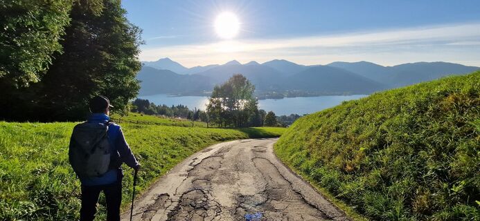
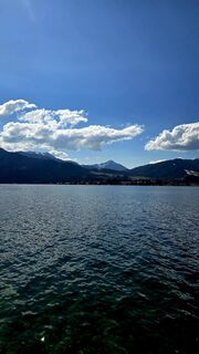
 © Kilian SchädlerVytvorené dňa 16.09.2025
 -

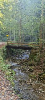
 © AmelieVytvorené dňa 19.06.2025
 -
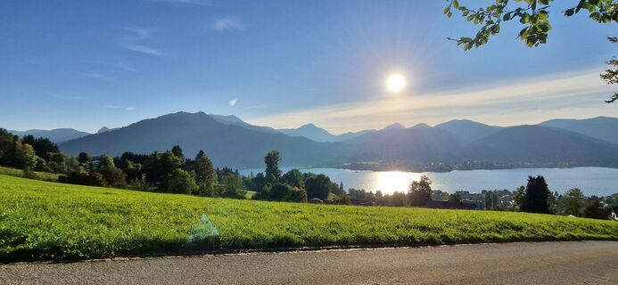
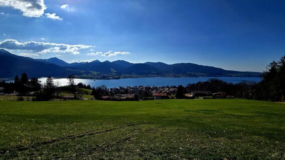
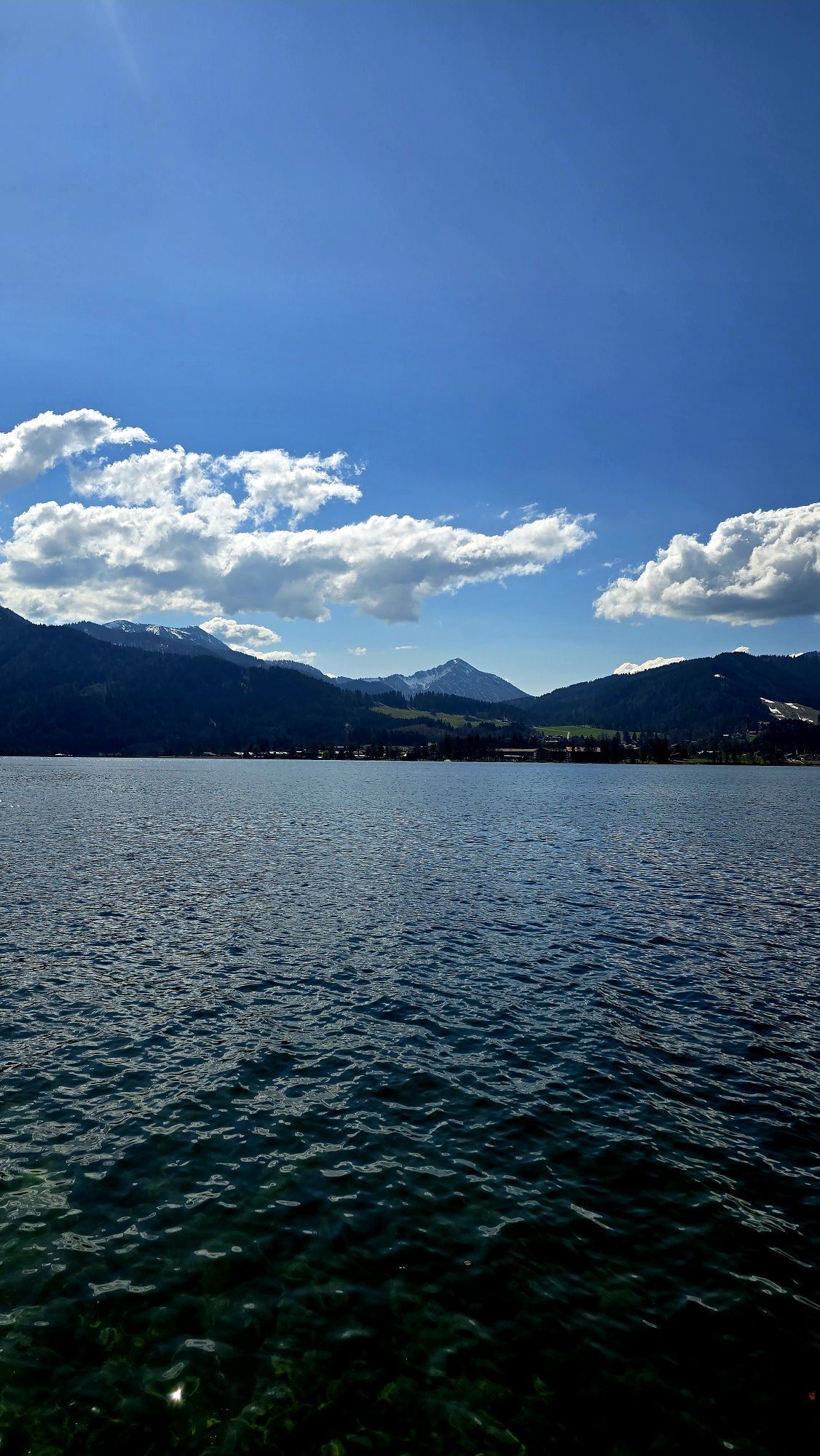
 © Zsuzsa SzàntóVytvorené dňa 27.04.2025
 -
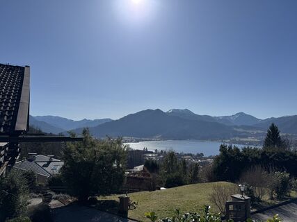
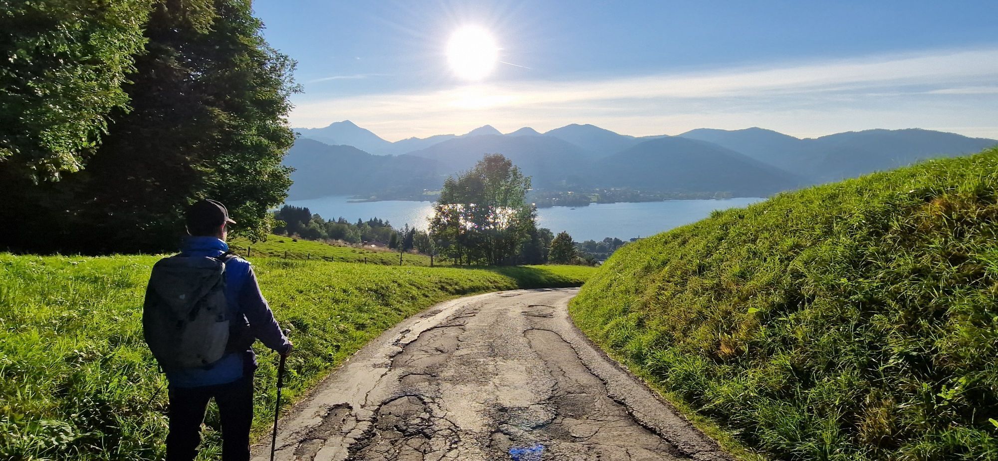
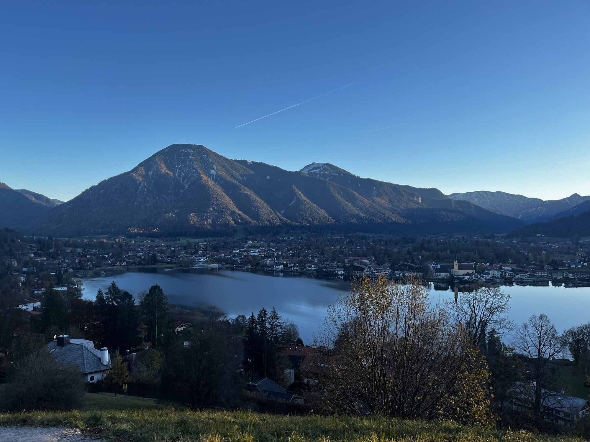
 © se_muckVytvorené dňa 03.04.2025
 -
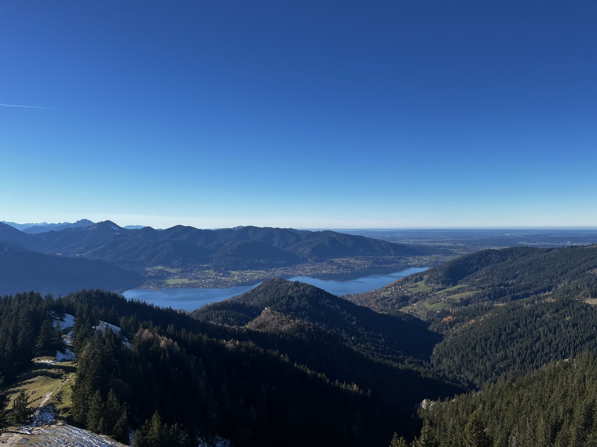
 © se_muckVytvorené dňa 03.04.2025
 -
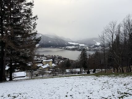
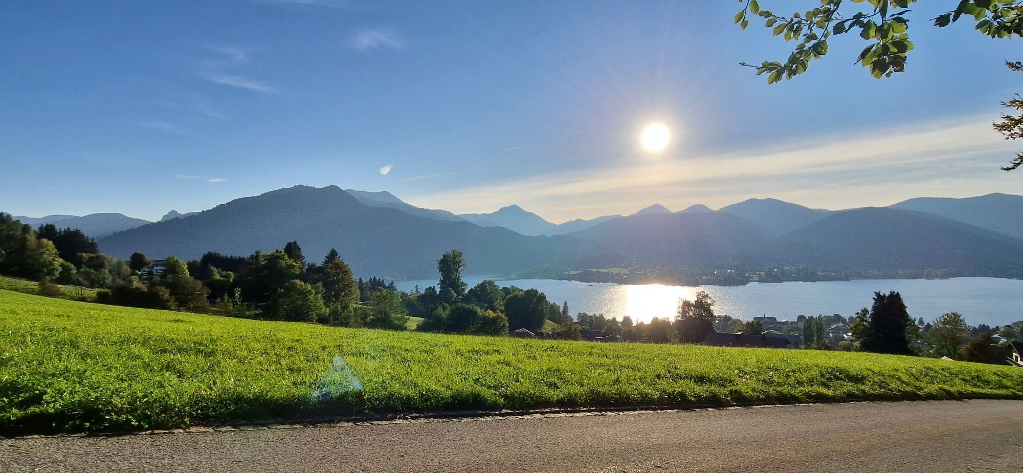
 © AloisBauerVytvorené dňa 06.03.2025
 -
 © Norbert HerbigVytvorené dňa 14.12.2024
 -
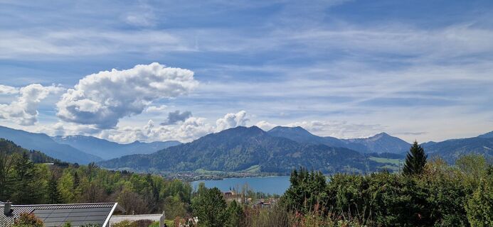
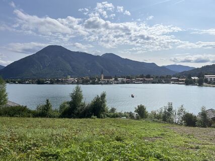
 © Dennis BuchmeierVytvorené dňa 16.11.2024
 -
 © Dennis BuchmeierVytvorené dňa 16.11.2024
 -
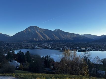
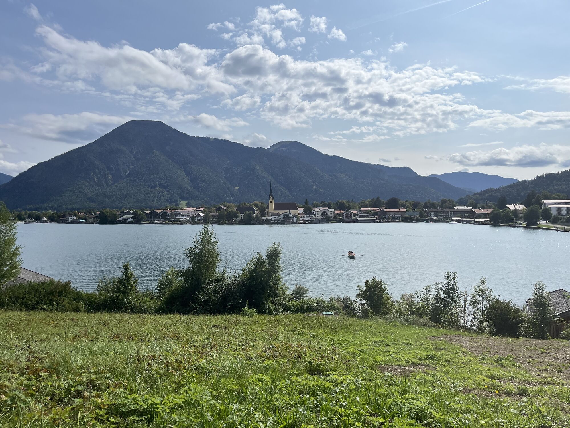
 © deif35Vytvorené dňa 13.09.2025


Return to the starting point in the town center along the Tegernsee shore.

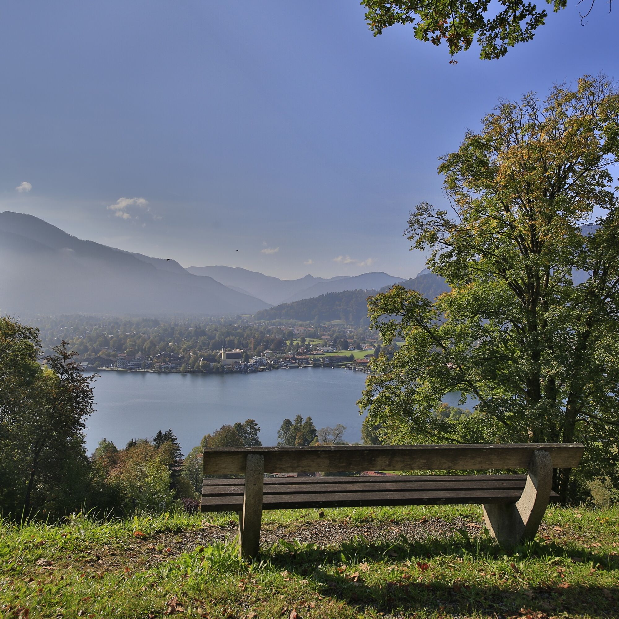
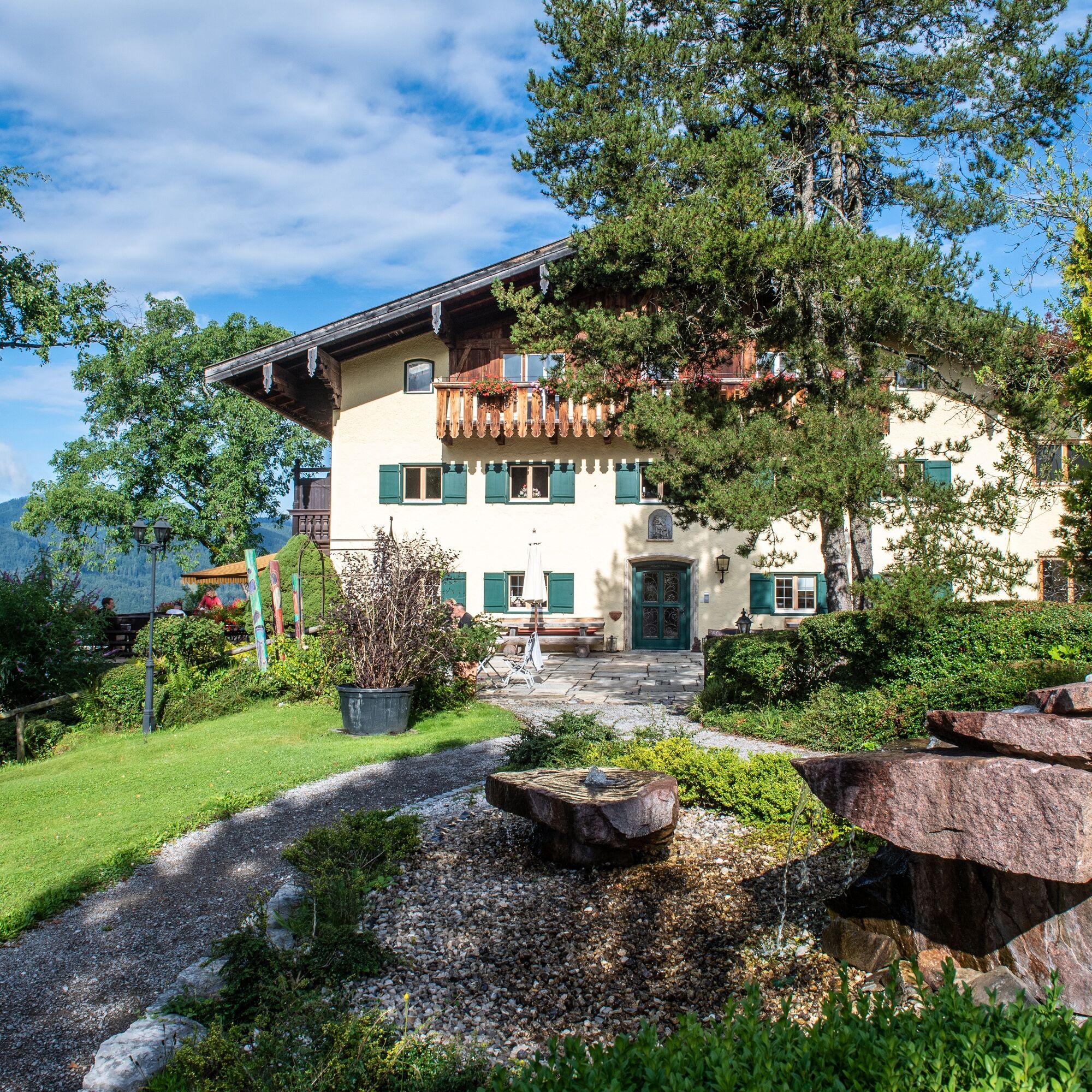
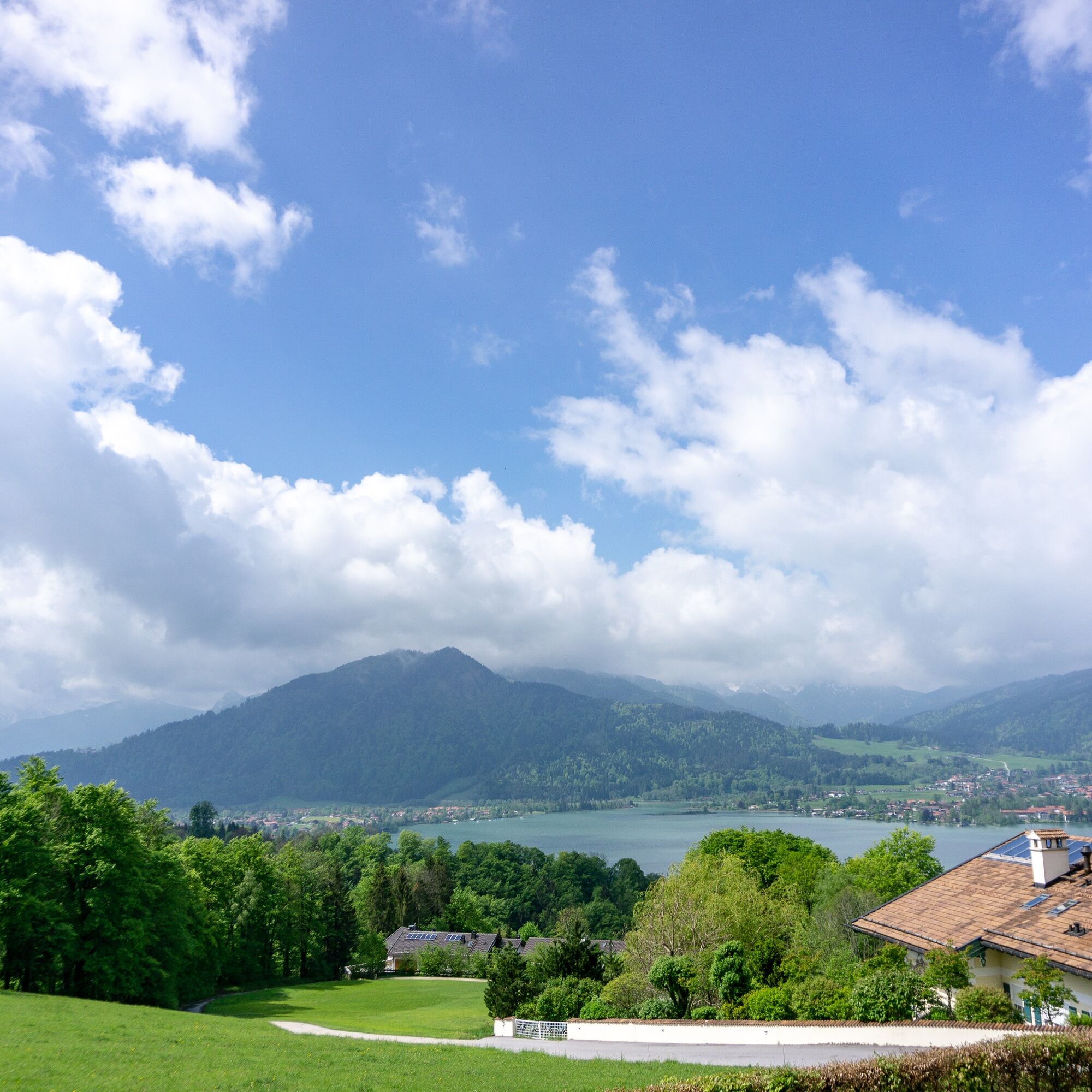
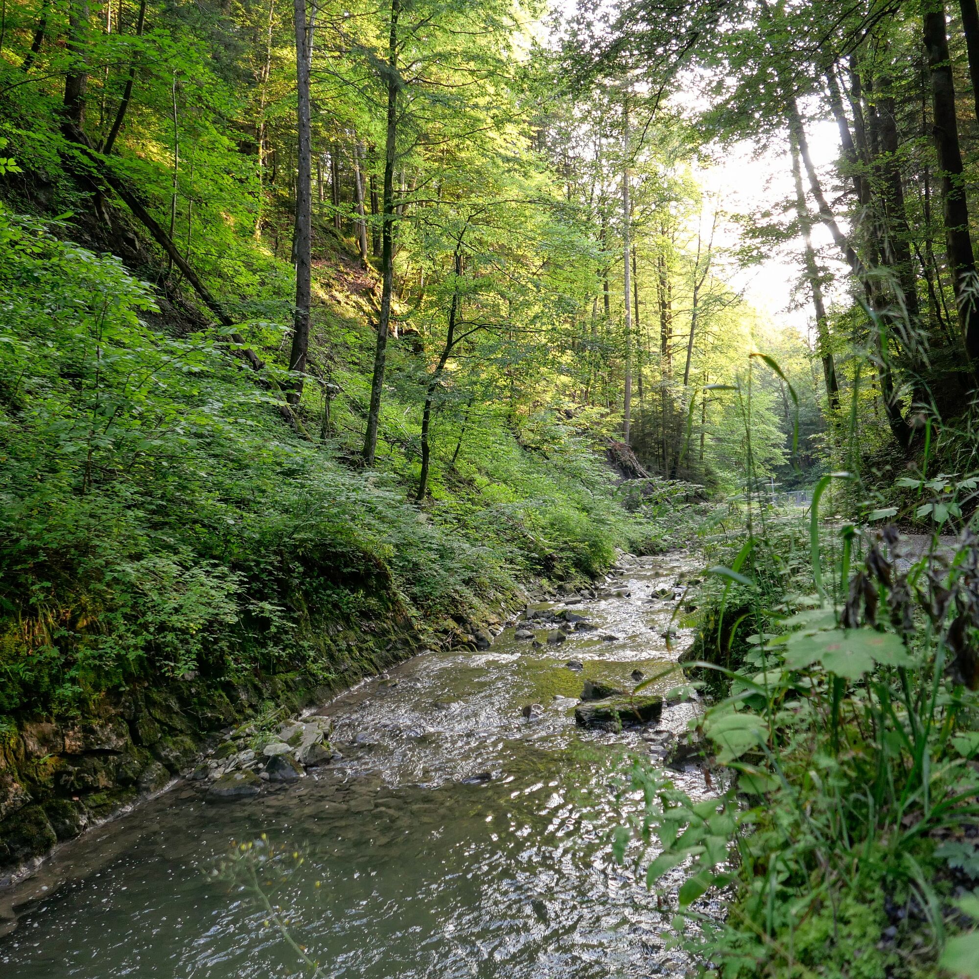
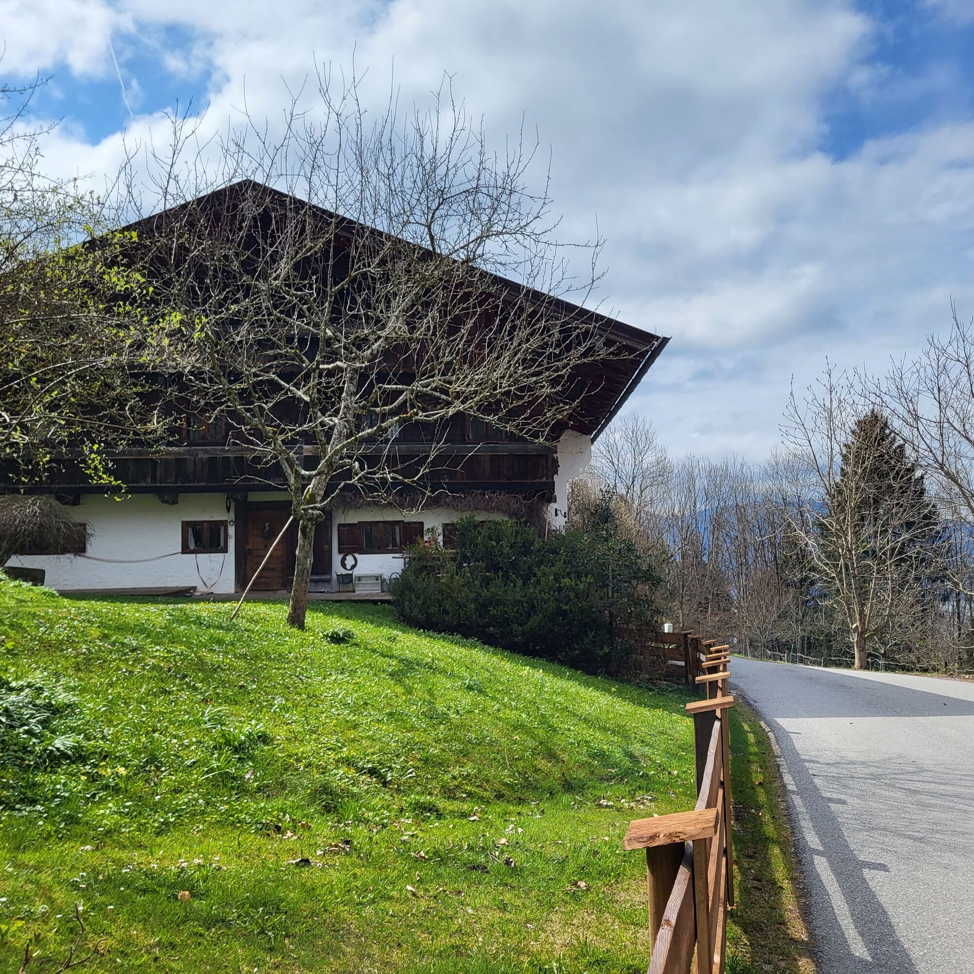
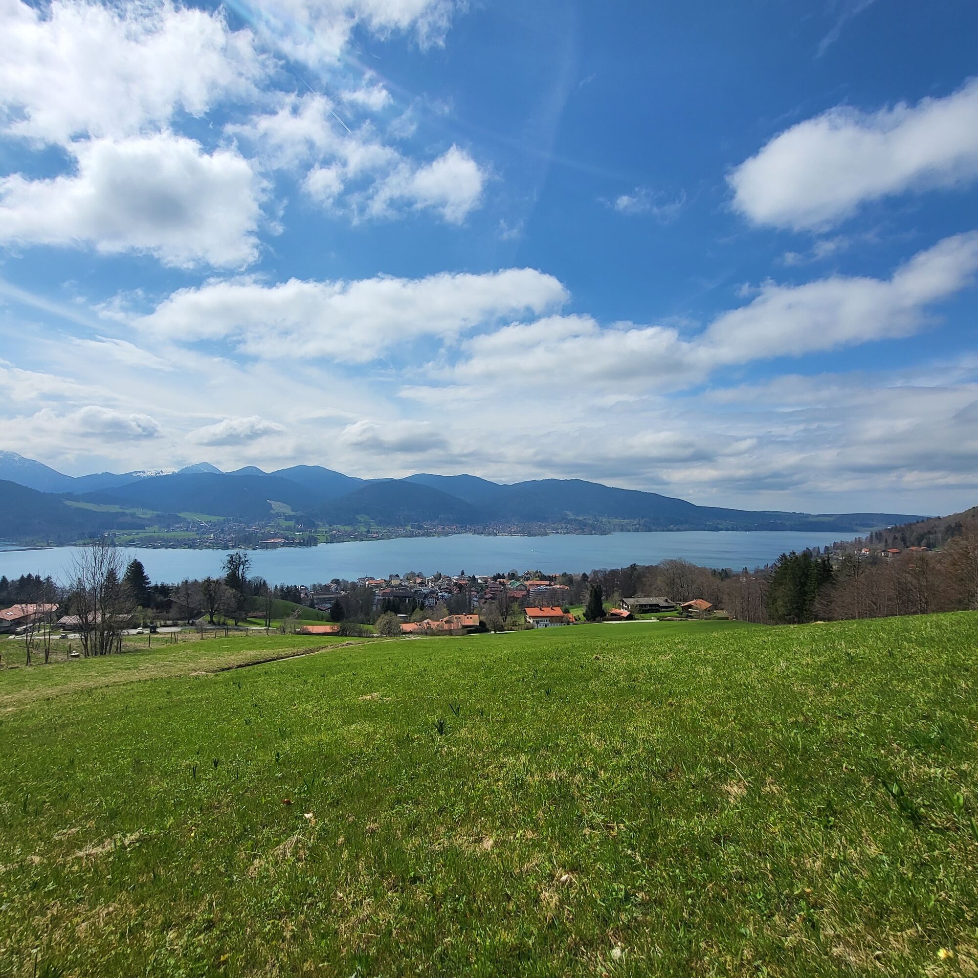
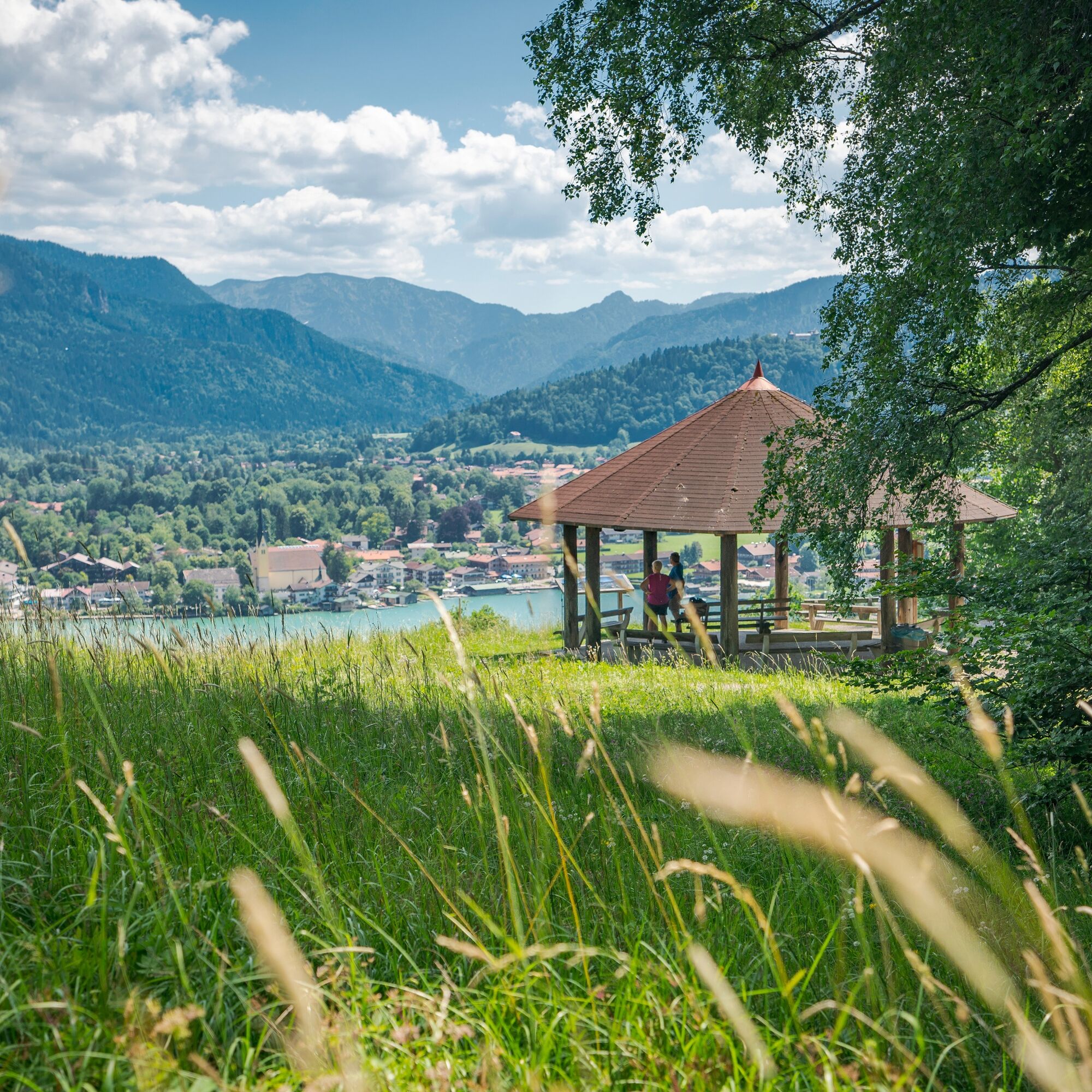
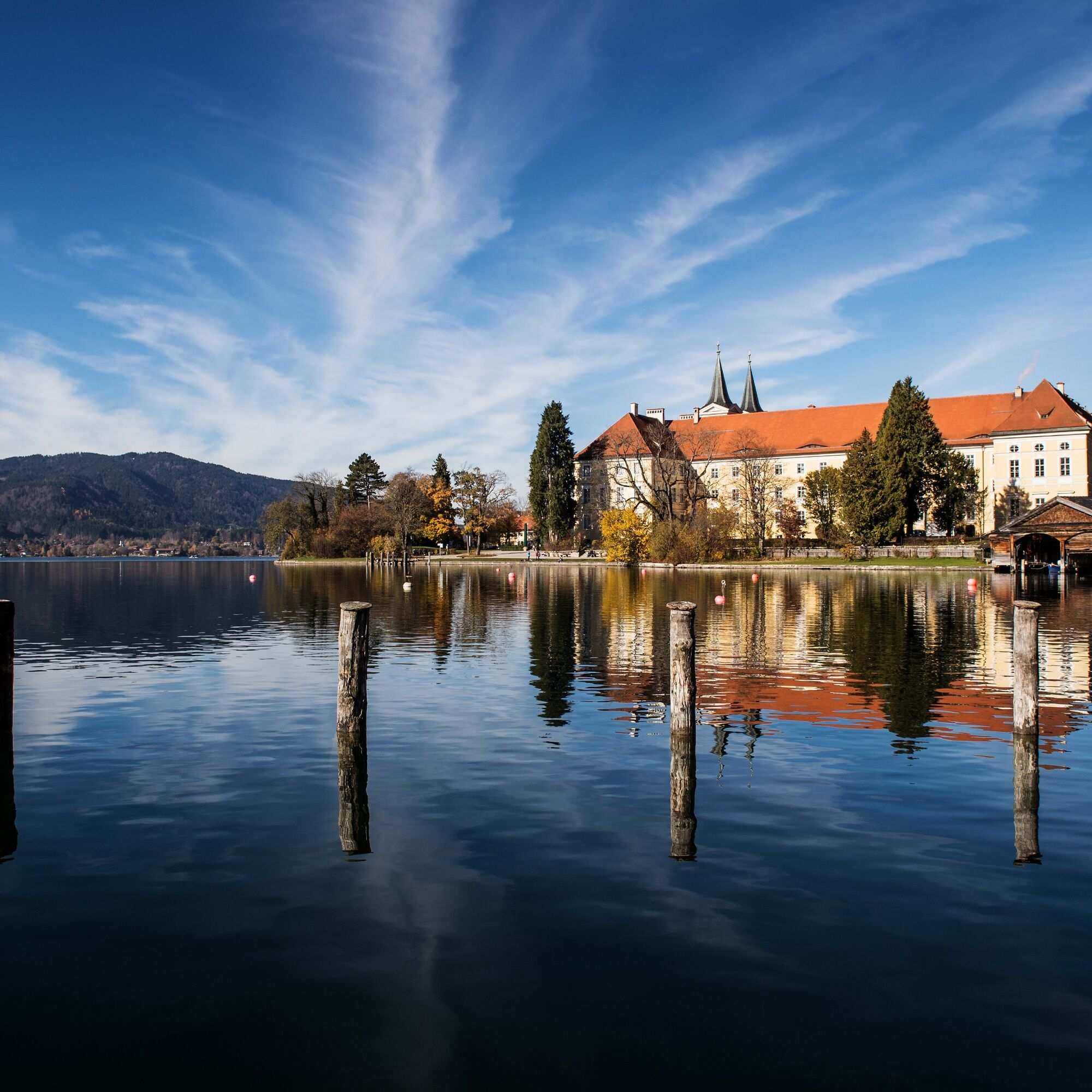
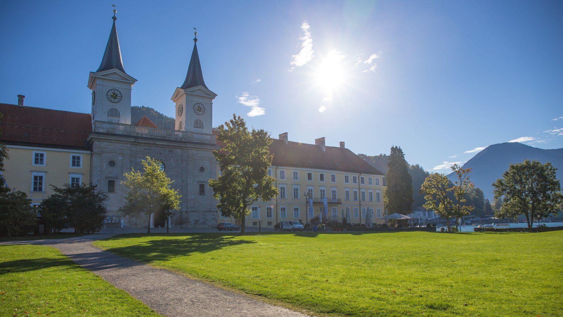
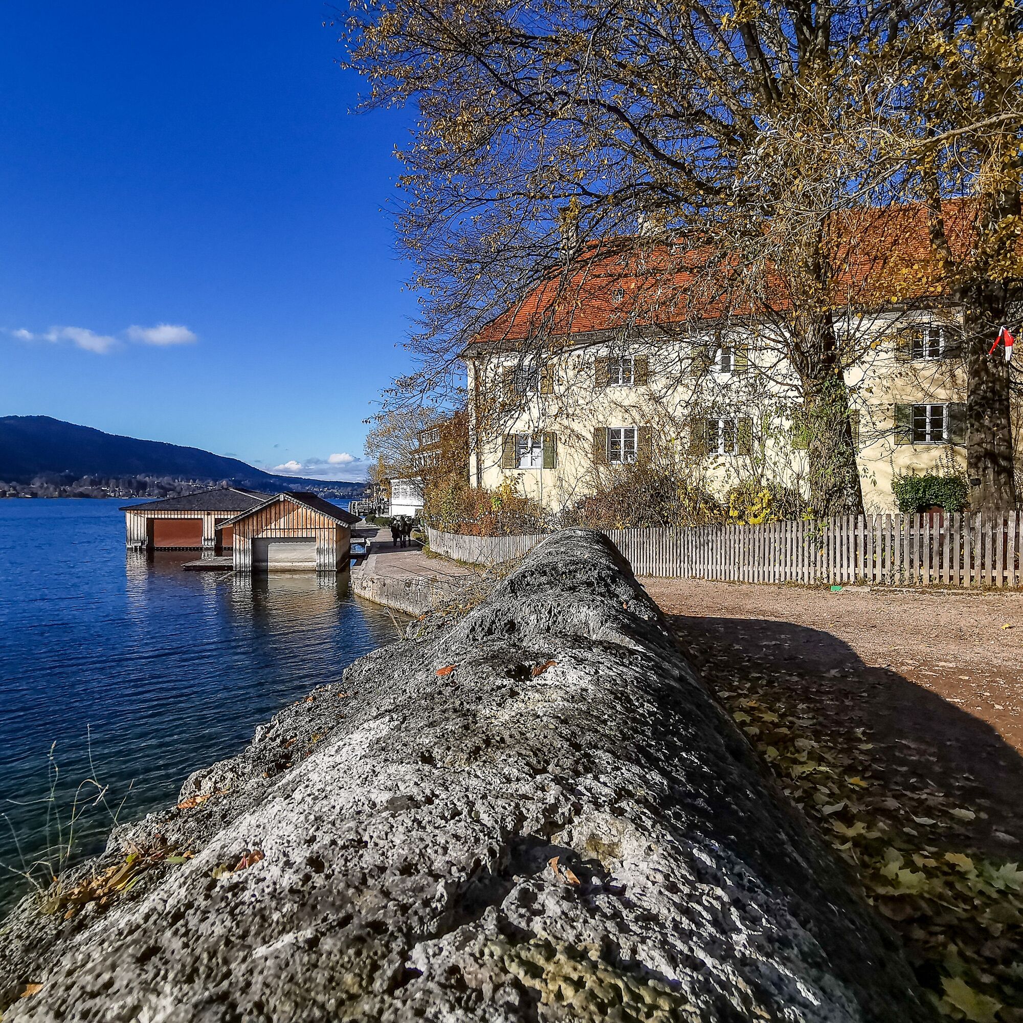
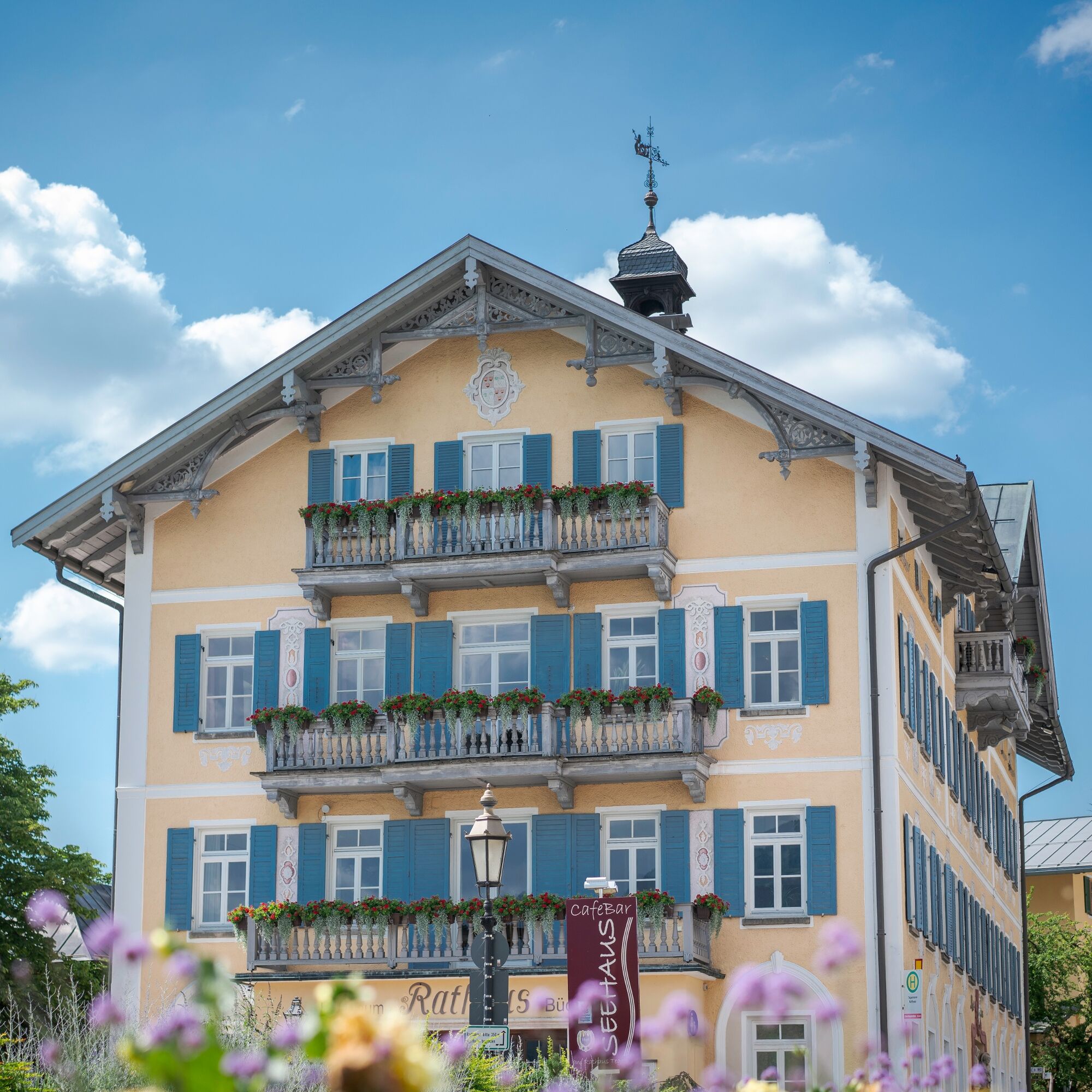
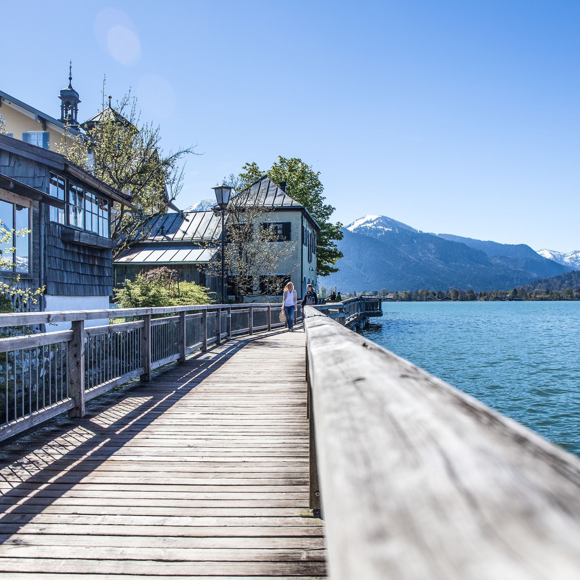
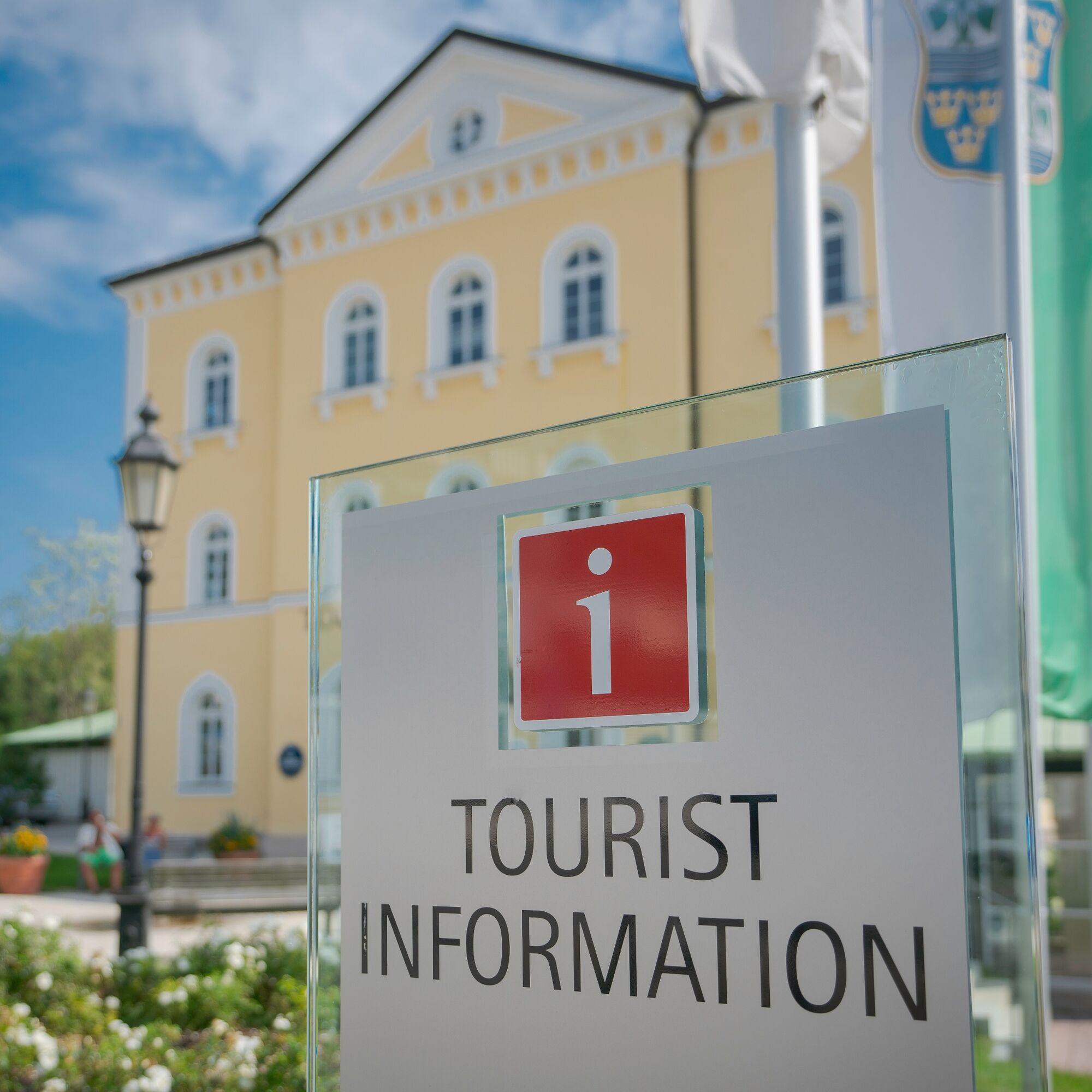
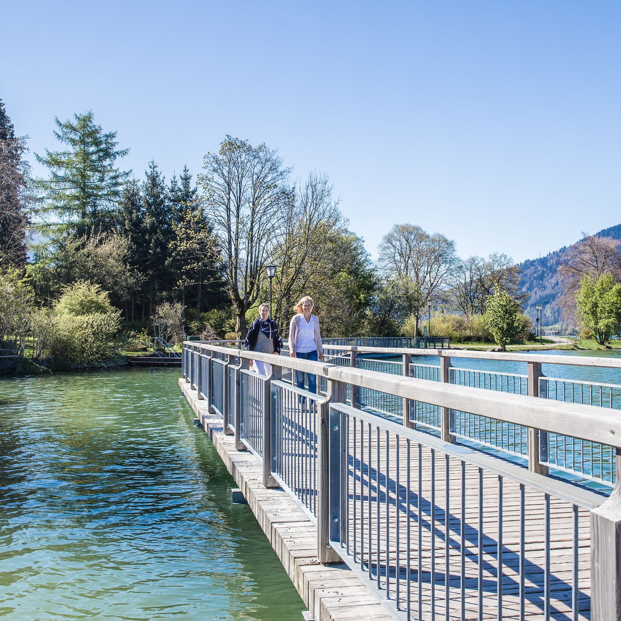
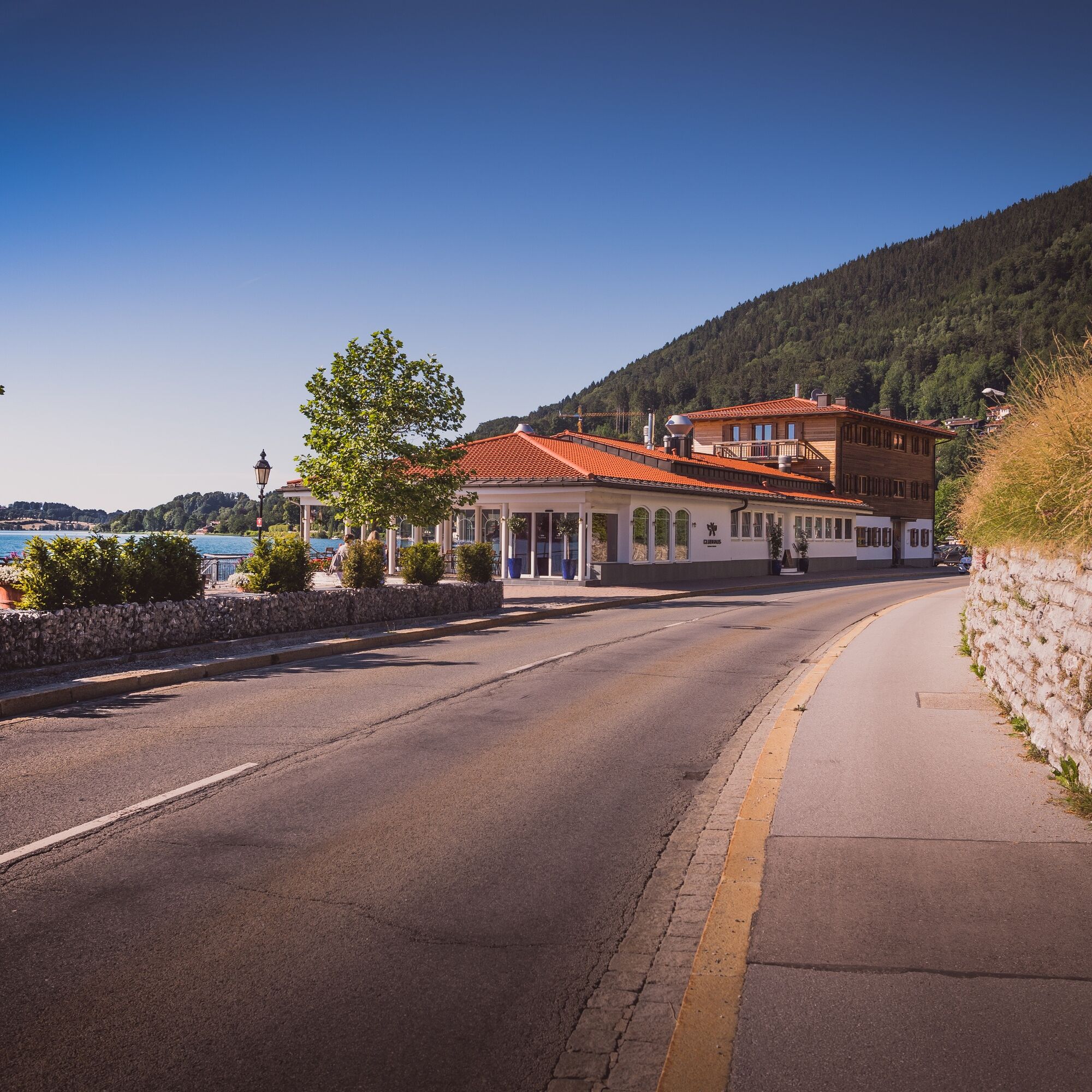
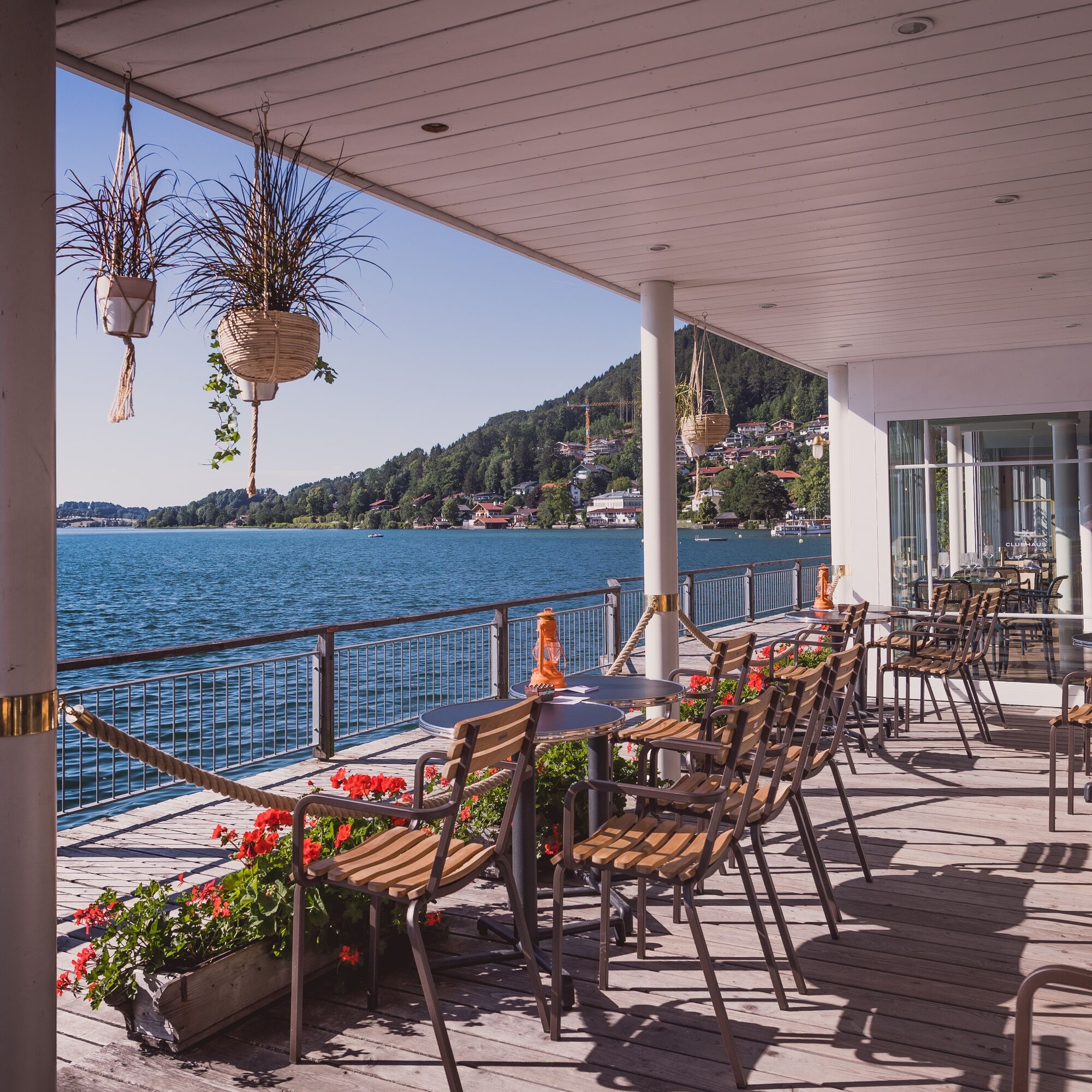
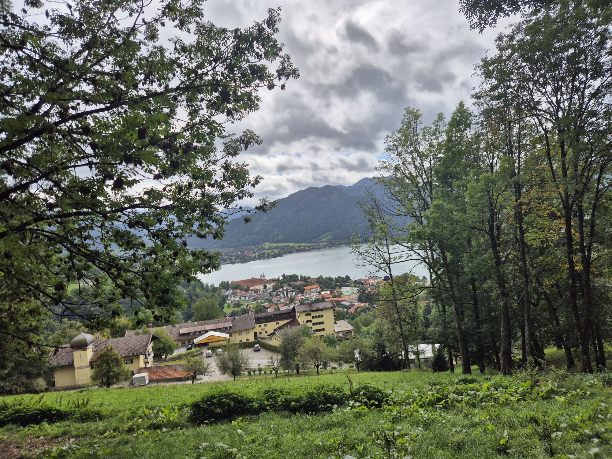
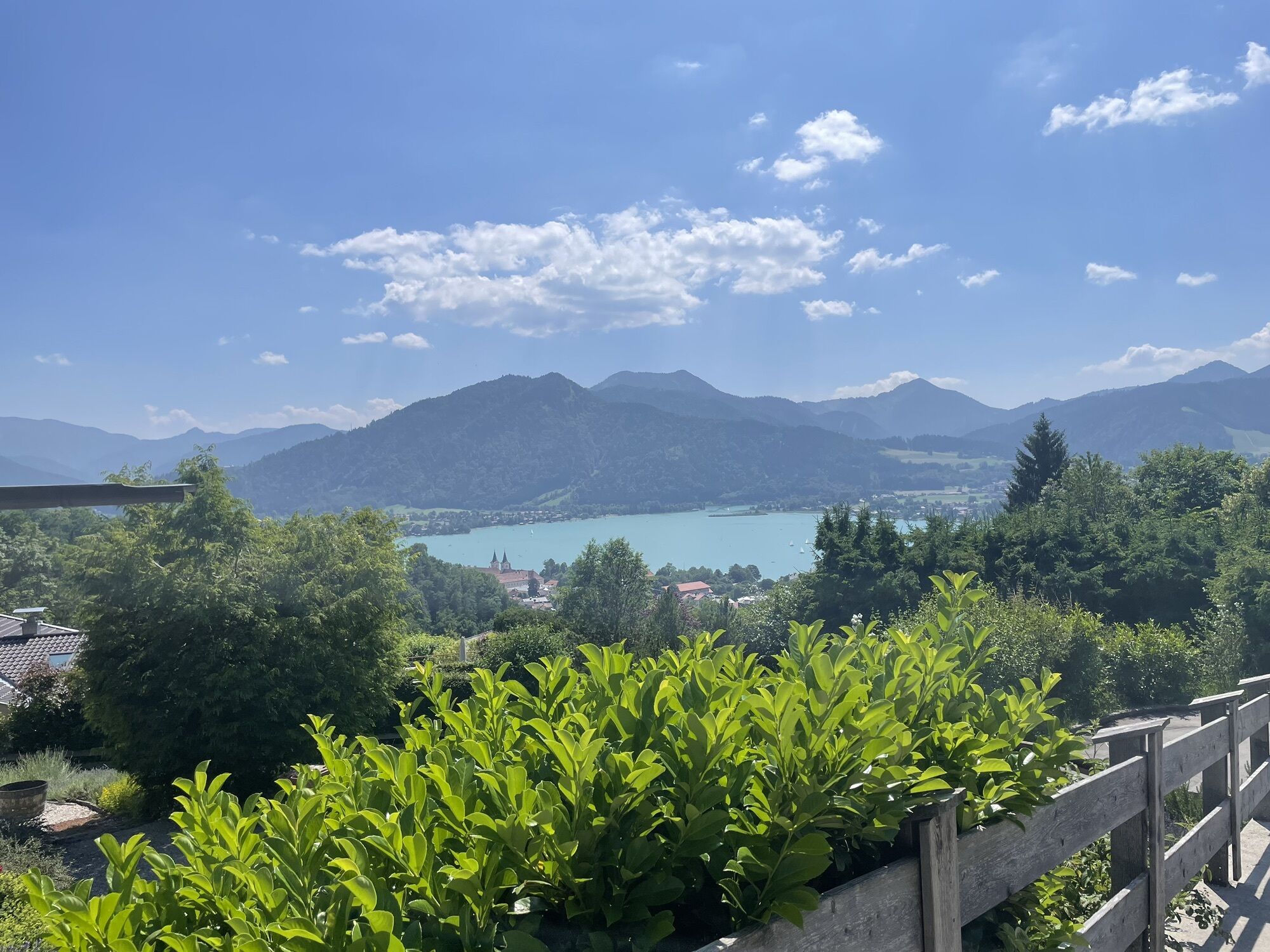
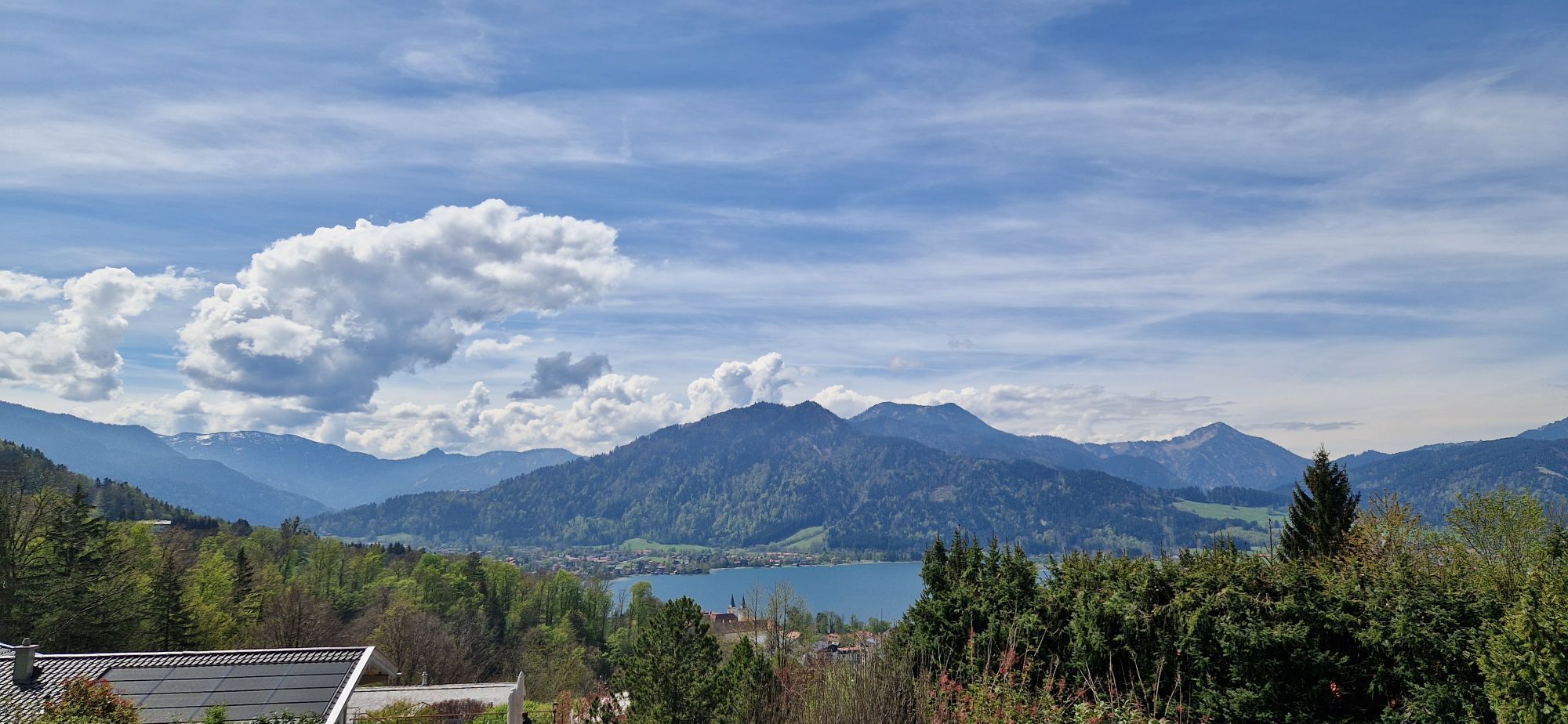
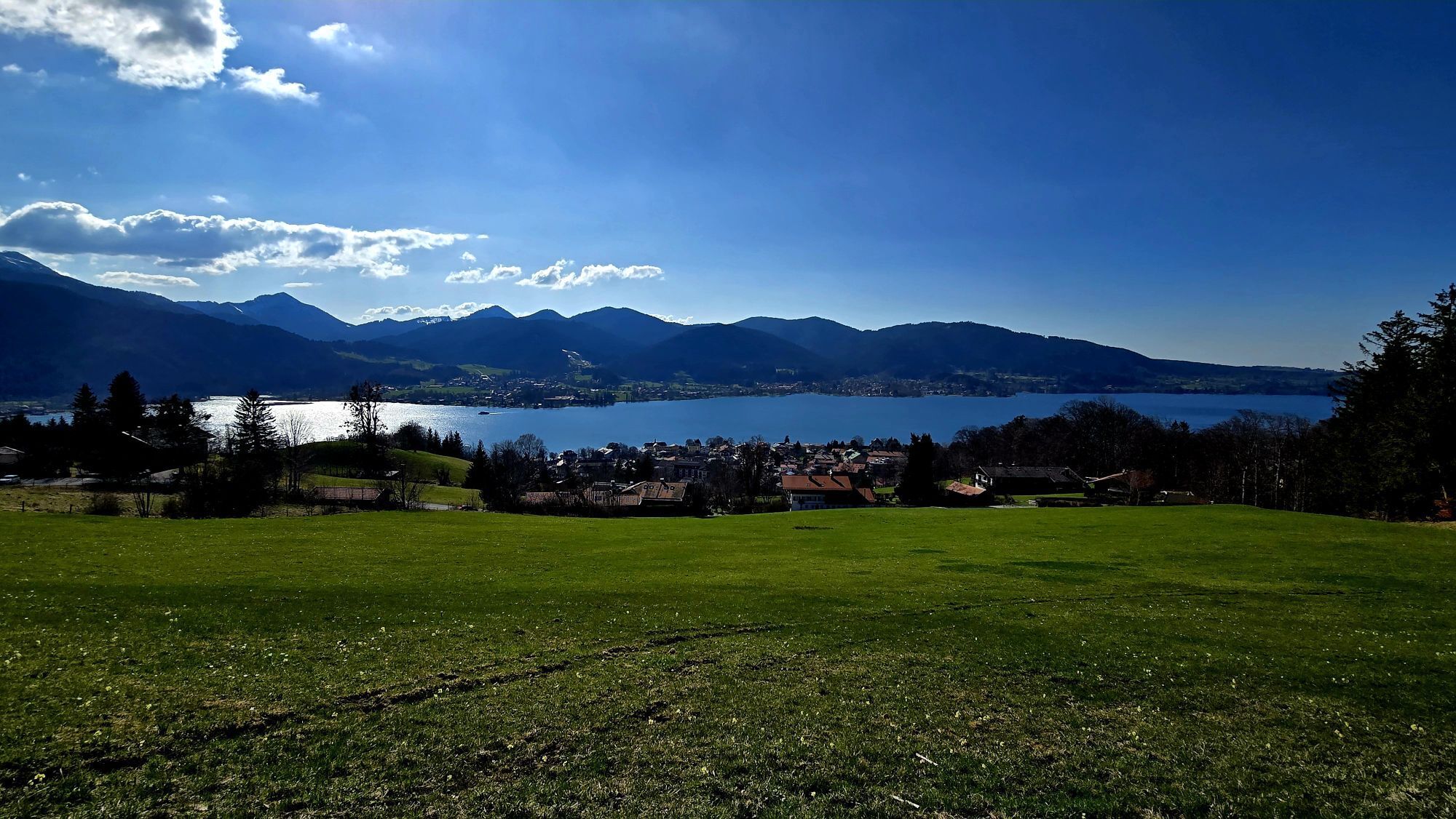
Right at the beginning of the route, it goes steeply uphill via the lower and upper stairways to Westerhof and then continues with beautiful views below the Großtegernseer Berg to Hohenlehen. The hotel "Der Westerhof" was once considered the largest monastery farm in the Tegernsee Valley. Since 1017, it also served as a place of recreation for the Tegernsee monks. After the monastery was dissolved, the property changed to secular ownership and is now a hotel. From Hohenlehen, we follow the Gschwandlerweg via Ober- and Untergschwend downhill again into the cool Alpbach valley. Now begins the next ascent, first along the Alpbach (path 685), then turning right to Auerbauer and Hoiner (path 686). The Hoinerhof on the northern slope of the Kleintegernseer Berg has been documented since the 15th century as a monastery fief. With 86 Tagwerk (approx. 29 hectares) of land, it was a rather small estate. Before reaching the Tegernseer Höhenweg via Sonnleitenweg, one can certainly find a nice resting place and enjoy the panoramic view of the lake. The Tegernseer Höhenweg (510) now leads to the Großer Paraplui. The wooden shelter commemorates with a memorial stone the "Dreikönigstreffen" of October 8, 1822 (King Max I Joseph of Bavaria, Franz I Emperor of Austria and Alexander I Emperor of Russia). Here, the Bavarian king presented to his high-ranking visitors from Austria and Russia the breathtaking view over the landscape around his summer residence. Past the Stieler monument, after crossing the federal highway, you reach the Stieler House. The Biedermeier summer house with studio was built by Joseph Stieler after acquiring the property in 1829 as one of the first townhouses at Tegernsee. Soon it served as a model for further houses and settlements of significant artists in the wake of the royal court in the Tegernsee Valley. Today, this almost unchanged house contains a modern restaurant with terrace, winter garden, and bar. Here you could end the route in bad weather and take the bus back to the starting point at the station. But then you would miss the numerous sights and places to stop on the remaining route. At the leisure facility Point, you go to the shore of Tegernsee, shortly after past the Tegernsee shipyard via the Hoffischereiweg to Tegernsee Castle. The Tegernsee Monastery was an abbey of the Benedictines at Tegernsee in the current city of Tegernsee in Bavaria, founded in the 8th century. Until 1803, it was the most important Benedictine abbey in Upper Bavaria. Today the monastery buildings known as Schloss Tegernsee are property of the ducal line of the Wittelsbach family. Further historical information about the complex is available at Tegernsee Monastery complex. Arriving at the town hall in the center of town, the "Seesteg", a special feature of Tegernsee, begins. It leads "over the water" to the August Macke Anlage. You reach the starting point at Tegernsee station directly opposite the federal highway via Prinz-Karl-Allee and Königin-Caroline-Weg.
Áno
Sturdy footwear, and clothing adapted to the weather.
All information without guarantee. Walking and riding on the described routes is at your own risk.
A8 to Holzkirchen exit, via B318 and B307 to Tegernsee.
Parking at Tegernsee station is very limited; we recommend parking at the central car park and starting the route from there immediately. Parking spaces are subject to fees.
A "sundowner" in front of the town hall at the Tegernsee pier.
Obľúbené výlety v okolí
-
5,0
Gipfeltour auf den Wallberg
strednáTuristika 12,2 km -
4,0
Von der Kistenwinterstube zum Risserkogel
strednáTuristika 10,4 km -
4,0
Jägerkamp und Benzingspitze
strednáTuristika 8 km -
4,7
Leonhardstein
strednáTuristika 8,17 km -
4,6
Lengrieser Hütte
strednáTuristika 10,6 km -
4,6
Roß- and Buchstein, Tegernsee Hut
ťažkéTuristika 14,4 km -
5,0
Durch den Pfanngraben auf die Rotwand
strednáTuristika 18,4 km -
4,8
Brecherspitze
strednáTuristika 14,5 km -
4,6
Aueralm/Zwerglberg
strednáTuristika 11,9 km -
4,5
Brecherspitz-Runde auf dem Normalweg Schliersee, Bayern
strednáTuristika 11,3 km
Turistika a stopovanie


Nenechajte si ujsť ponuky a inšpiráciu na ďalšiu dovolenku
Vaša e-mailová adresa bol pridaný do poštového zoznamu.